Download Agreement, Release, and Acknowledgement of Risk:
You (the person requesting this file download) fully understand mountain climbing ("Activity") involves risks and dangers of serious bodily injury, including permanent disability, paralysis, and death ("Risks") and you fully accept and assume all such risks and all responsibility for losses, costs, and damages you incur as a result of your participation in this Activity.
You acknowledge that information in the file you have chosen to download may not be accurate and may contain errors. You agree to assume all risks when using this information and agree to release and discharge 14ers.com, 14ers Inc. and the author(s) of such information (collectively, the "Released Parties").
You hereby discharge the Released Parties from all damages, actions, claims and liabilities of any nature, specifically including, but not limited to, damages, actions, claims and liabilities arising from or related to the negligence of the Released Parties. You further agree to indemnify, hold harmless and defend 14ers.com, 14ers Inc. and each of the other Released Parties from and against any loss, damage, liability and expense, including costs and attorney fees, incurred by 14ers.com, 14ers Inc. or any of the other Released Parties as a result of you using information provided on the 14ers.com or 14ers Inc. websites.
You have read this agreement, fully understand its terms and intend it to be a complete and unconditional release of all liability to the greatest extent allowed by law and agree that if any portion of this agreement is held to be invalid the balance, notwithstanding, shall continue in full force and effect.
By clicking "OK" you agree to these terms. If you DO NOT agree, click "Cancel"...
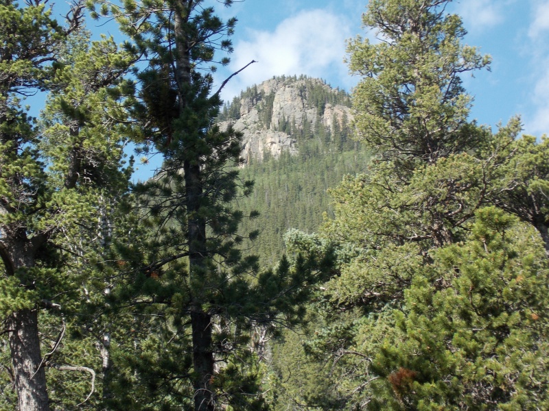
Shawnee Peak shortly after starting from the parking lot. My route would take me up to the left of the summit.
Trailhead: Parking lot on the left immediately past the town of Shawnee Route: Northeast ridge (for lack of a better name) Length: 8.5 miles Vertical: 4000 feet Partners: Solo
I was only able to find one TR on Shawnee - One that Derek had done 10 years ago and naturally, he did a whole string of peaks and it's a very worthwhile read here. I think I saw something on Summit Post about going at it from Bill Tyler Gulch but that appears to be mostly private property now. Studying a topo map made me think that Gibbs Gulch might work. I tried this route in early spring and was on snowshoes and only got about half way up - the bushwhacking was difficult (understatement) and I decided to give it a shot in dryer conditions.
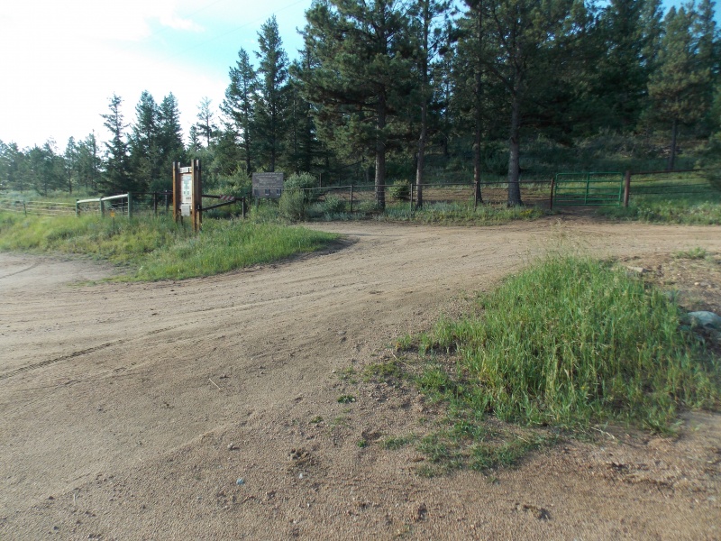
The trailhead is easy to find. Go past the town of Shawnee and almost immediately on your left (if going south on 285) you will see a rather large parking area.
Parking area
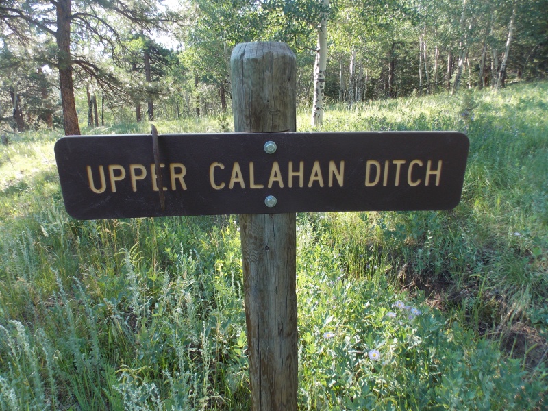
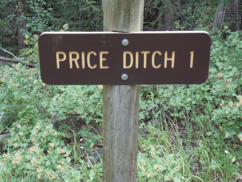
I seem to recall that this area is used by the BLM? for some sort of horse management but I couldn't find that when I put together this report. There are also a number of named ditches that were used in water management but appear to be out of service now - pictures on that later.
On the left side of the gate, there is a personnel passage but with the large gap in the bars, it's pretty easy to duck under the crossbar.
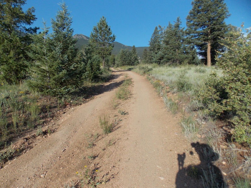
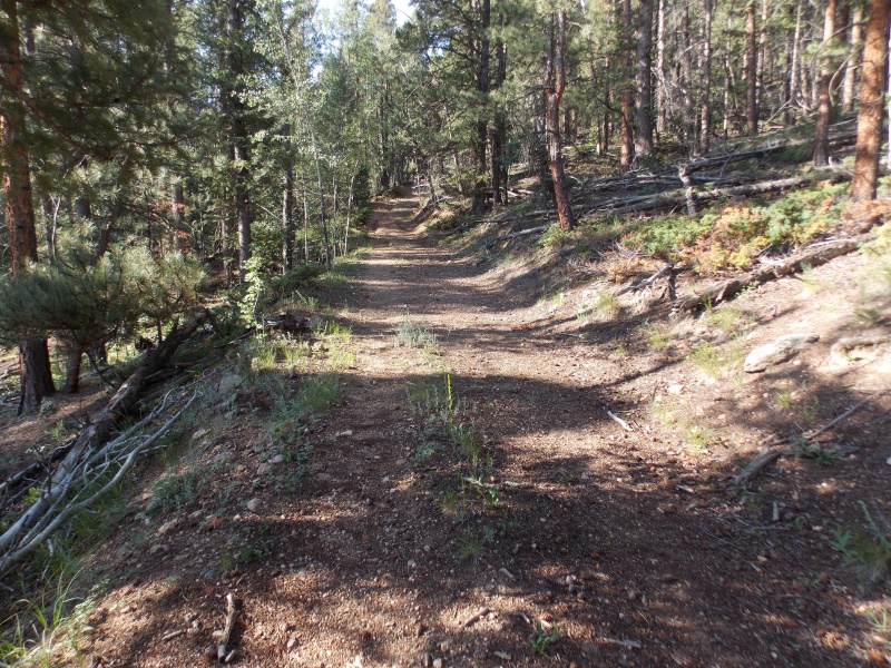
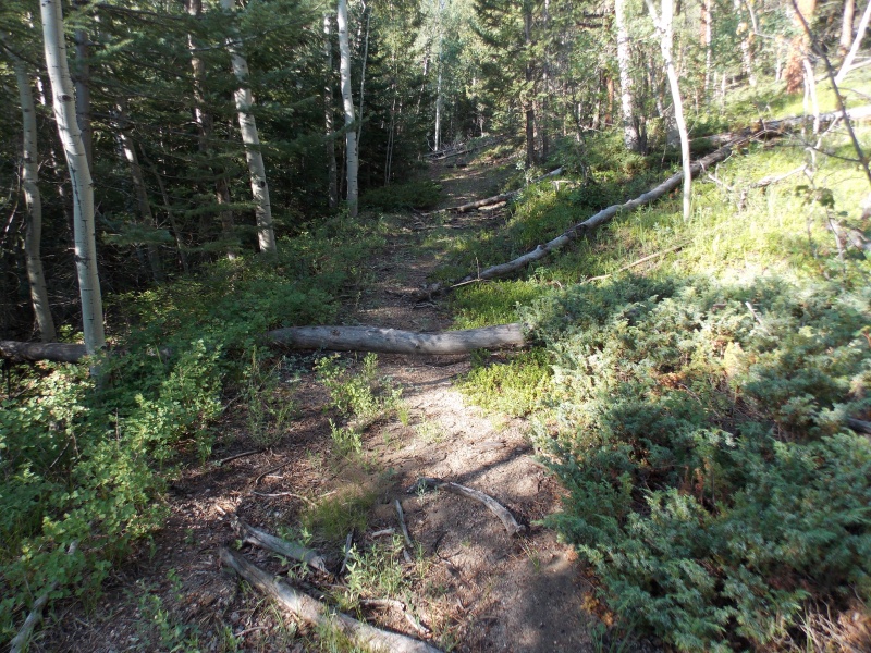
Easy going early on
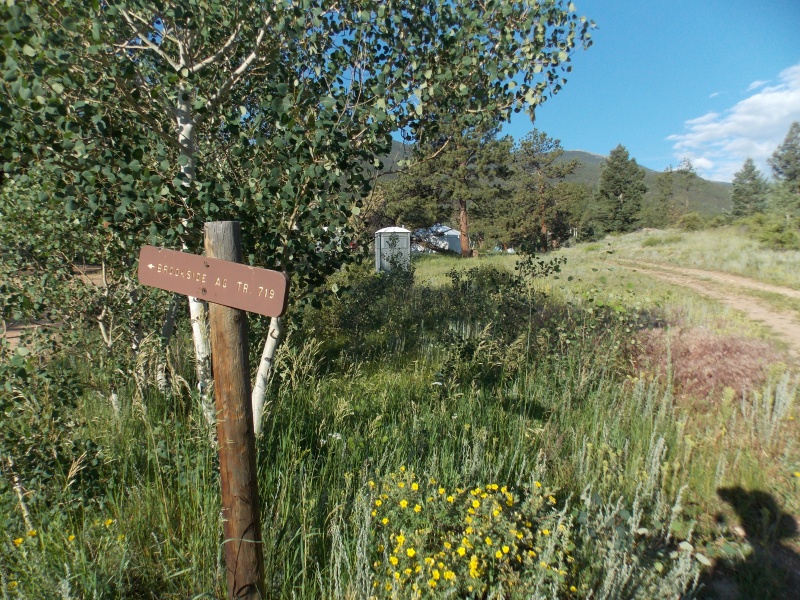
Just past the intersection with the Brookside trail, there was a camp set up - one large mess tent, two porta-potties, a pickup and equipment trailer and several small dome tents. Nobody was around on my way up nor was anybody there on my way down. There were no markings on the truck but I believe the license plates were US government.
Camp is visible in the backgroundAnd the road continues...
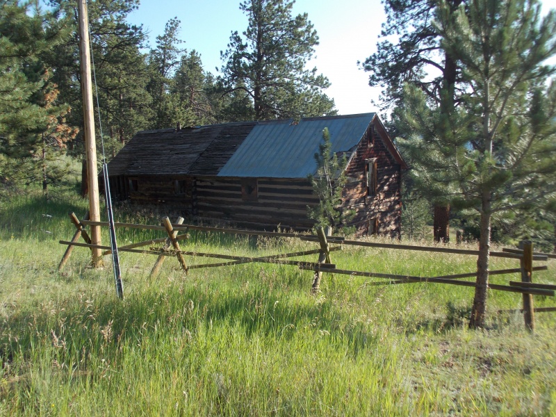
At about the one mile mark, there is an old bunkhouse, I think. And electrical power has been added. Not sure what it's used for now...
Fenced off bunkhouse. Kinda hard to see but wire fencing continues were the log fence ends.First ditch.Someone named Callahan has been busy!And the road continues....
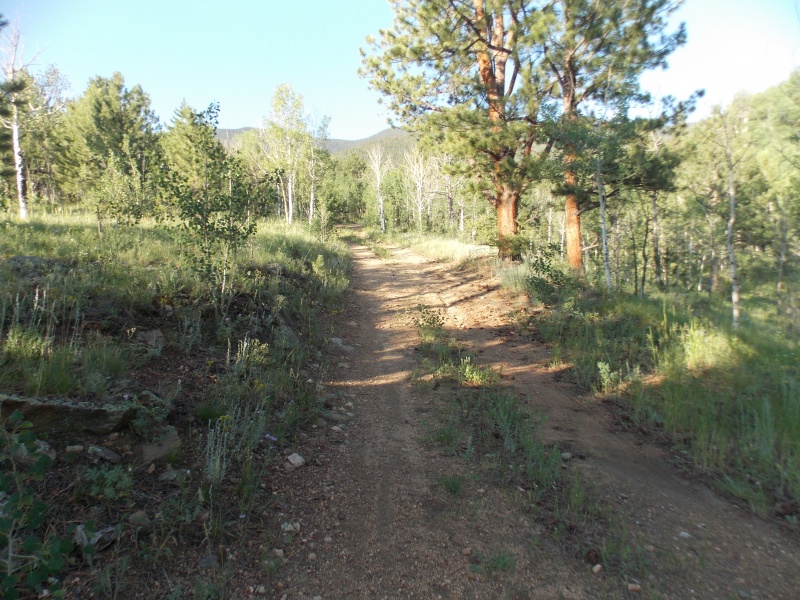
By this point, I was really wishing I'd brought along my mountain bike. It is about 2 miles to where the good road turns back and one starts following an old logging road and a bike sure would have saved some time.
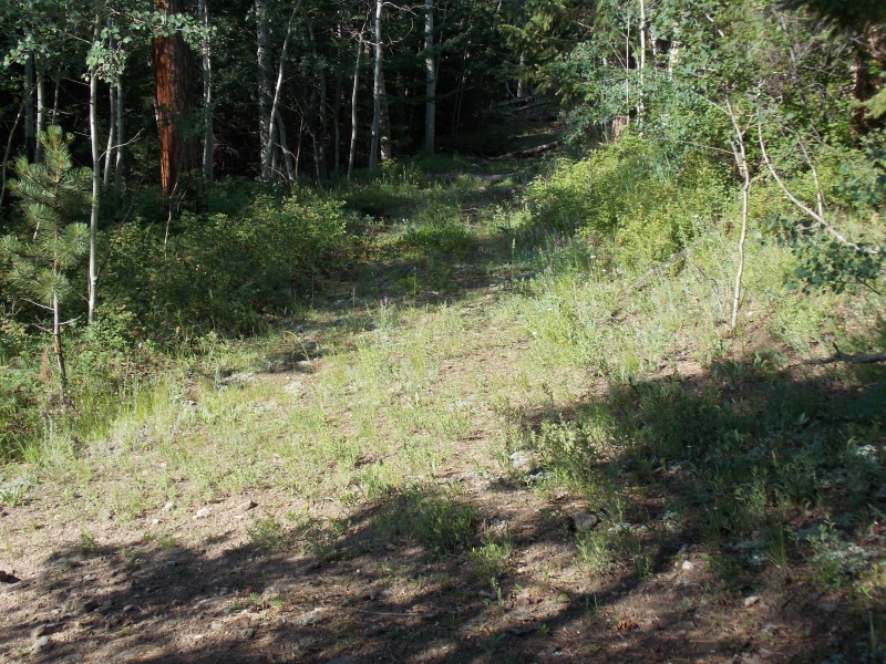
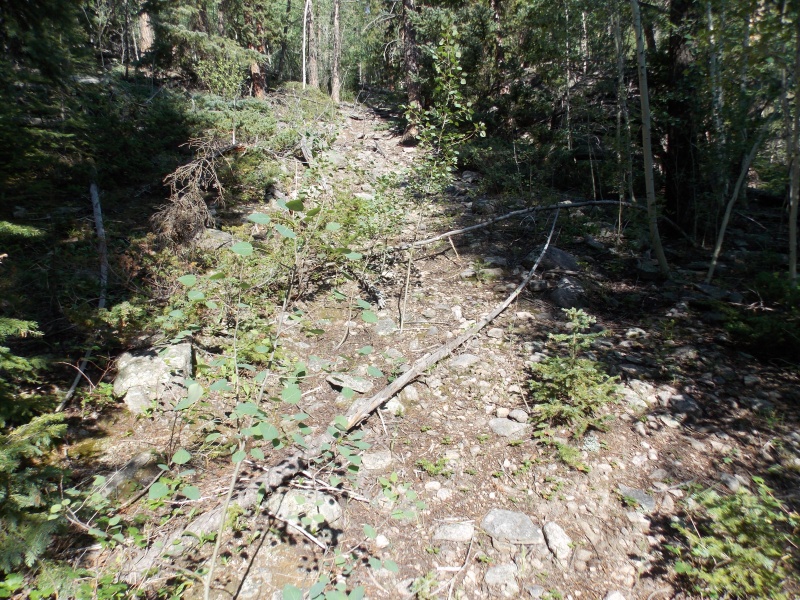
Now the logging road continues south.Some deadfall.And it gets steeper and rockier for a bit.
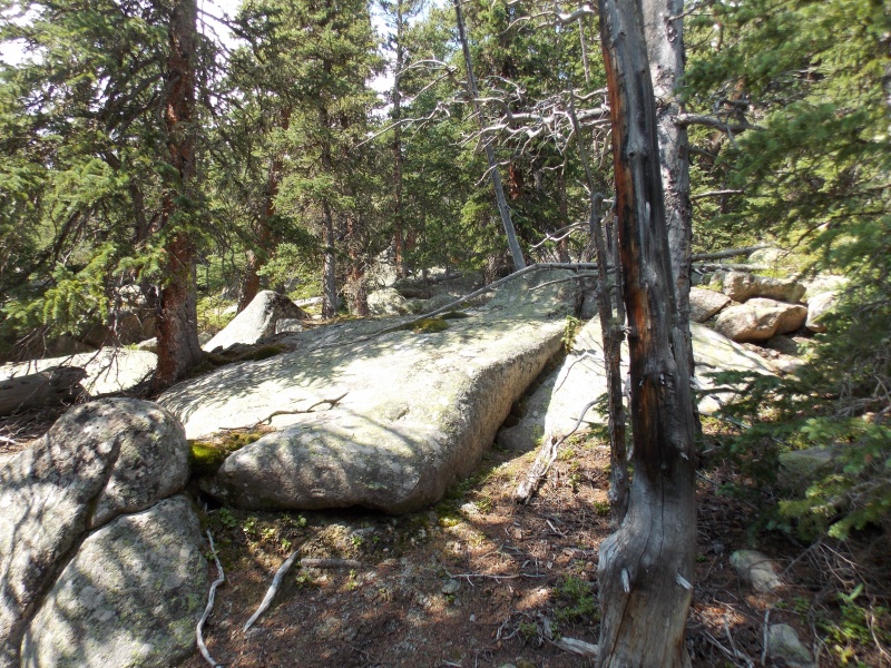
And what looks like is the end of the road in the above picture actually is the end. From there on, it is bushwhack hell.
Immediately after the end of the last picture.
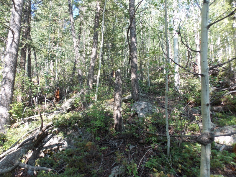
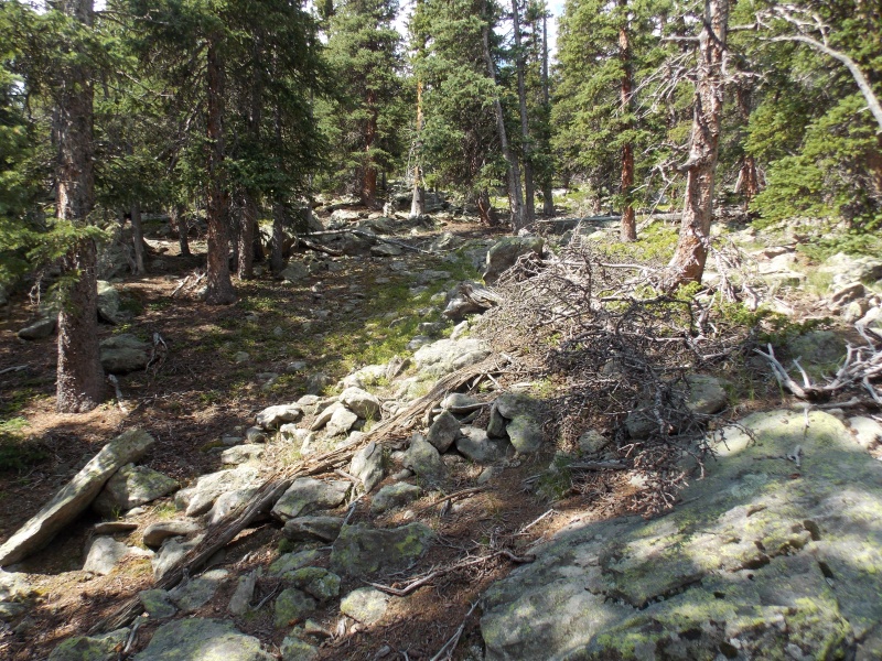
The rest of the hike was mostly bushwhack. Every now and then a clear path would go for a bit but it never lasted. It would not be a good idea to wear shorts on this hike - I had on thin long pants and managed to get pretty scratched up.
About half way there...
I took the above picture at the spot I turned around when I first attempted this. I didn't realize that the bushwhacking actually got worse after this point.
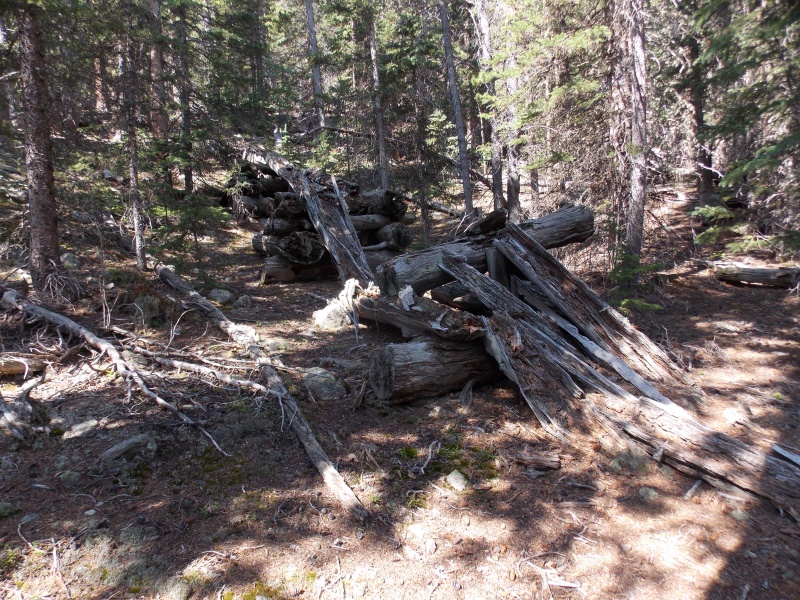
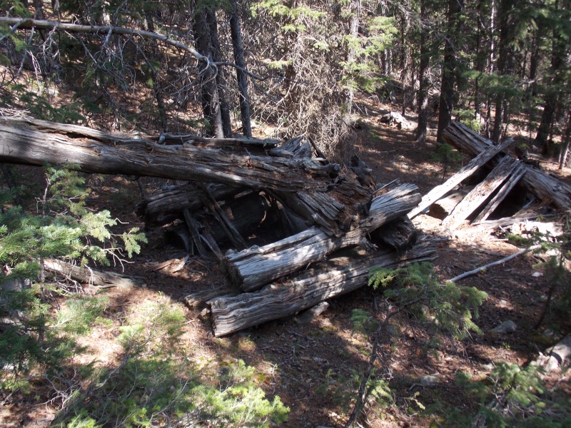
Not too long after this, I came across the following. At first, I thought it was a miner's sluice but with no water source, I ruled that out. As there was some evidence of old logging operations (old large tree stumps), I am guessing this was some sort of setup to facilitate moving the logs down?
View from below.View from along side.
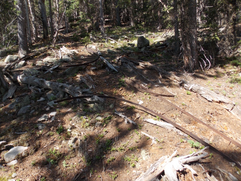
Not too far above it (maybe 10 yards) was the following. I'm not sure what the bands are but they ran parallel for about 10 feet beyond the lower righthand corner of this picture.
Maybe something else to help move logs down the mountain?
Other than a couple old rusty tin cans, I found no other evidence.
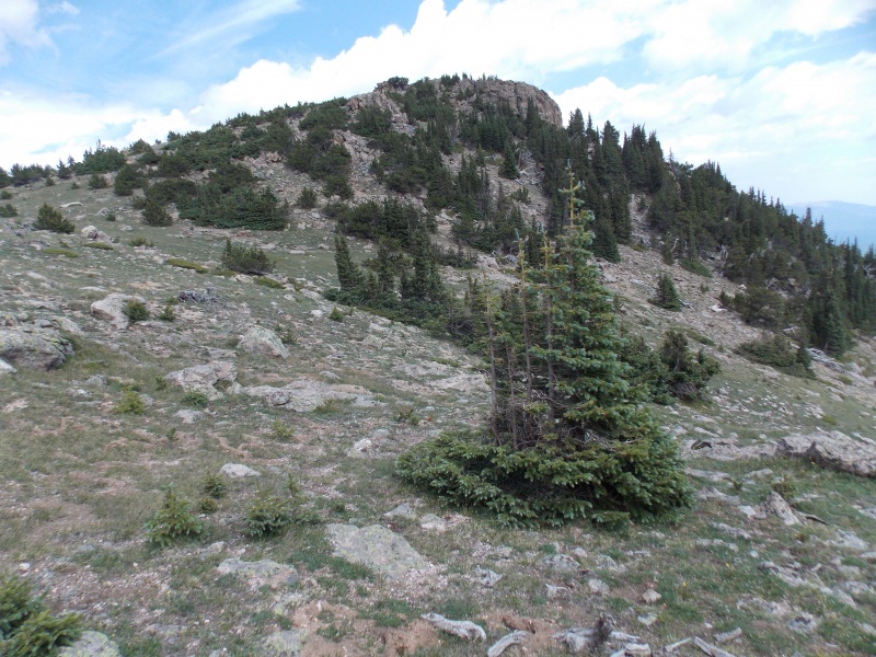
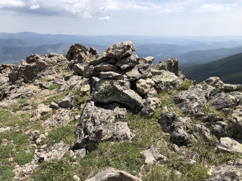
And the bushwhack continues...Occasionally, rock fields would appear making travel a bit easierAnd nearing the ridge, it finally started to open up.First view of the summit in a while. From here, it is easy, peasy.Summit cairn (no register)
I think Shawnee Peak is a seldom visited summit and it affords some nice views - which would have been even nicer had the smoke from the forest fires dissipated.
Summit views...
And a short 360 vid from the summit.
I decided to do a little loop on the way down and continued on the road until it meets up with the original road near the bunkhouse.
I never saw Price Ditch #2
I was surprised that all the signage for the ditches seemed to be new when the ditches themselves were obviously old - the first Callahan ditch didn't have a culvert under the road.
And what would a summer TR be without some wildflower photos?
And my Strava link that will show the route I took.
I'll never complain again when I have to bushwhack for 1/2 mile after seeing how much bushwhacking you did on Shawnee Peak! Glad to see you got a nice view from the summit for all your hard work, Jay.
Good on ya' for plowing through the bushwhack! Probably would
have turned around lesser souls (like me!). But maybe this is the
kind of hike one needs to do to find solitude these days. Nice job
on the photos too.
I wonder if it was some sort of suspended rail system to move logs down the slipe after they were cut? Like on a trolley? Complete, absolute guess. Anyway, that bushwhacking looked like a fun challenge!
Was hoping I'd see you write something up on this after I saw it on Strava. More times than I can count Todd S. and I would look up at this route on our way by, wondering how the route would go. I assumed it would be a grind, you confirmed it! Let's get out again soon.
We do need to get out together but the way you have been running up the mountains, I'm not sure just how long I could keep up! You have been doing a lot lately!
Martin - Yeah, it was nice to finally be able to see my goal. Only bad part was that I knew I had to deal with all the bushwhacking to get back down. :-)
Yeah - I remember that meeting. As I recall, you flew by me! :-)
Caution: The information contained in this report may not be accurate and should not be the only resource used in preparation for your climb. Failure to have the necessary experience, physical conditioning, supplies or equipment can result in injury or death. 14ers.com and the author(s) of this report provide no warranties, either express or implied, that the information provided is accurate or reliable. By using the information provided, you agree to indemnify and hold harmless 14ers.com and the report author(s) with respect to any claims and demands against them, including any attorney fees and expenses. Please read the 14ers.com Safety and Disclaimer pages for more information.
Please respect private property: 14ers.com supports the rights of private landowners to determine how and by whom their land will be used. In Colorado, it is your responsibility to determine if land is private and to obtain the appropriate permission before entering the property.


")
")
")
")
")
")
")
")
")
")
")
")
")
")
")
")
")
")
")
")
")
")
")
")
")
")
")
")
")
")
")
")
")
")
")
")
")


