Download Agreement, Release, and Acknowledgement of Risk:
You (the person requesting this file download) fully understand mountain climbing ("Activity") involves risks and dangers of serious bodily injury, including permanent disability, paralysis, and death ("Risks") and you fully accept and assume all such risks and all responsibility for losses, costs, and damages you incur as a result of your participation in this Activity.
You acknowledge that information in the file you have chosen to download may not be accurate and may contain errors. You agree to assume all risks when using this information and agree to release and discharge 14ers.com, 14ers Inc. and the author(s) of such information (collectively, the "Released Parties").
You hereby discharge the Released Parties from all damages, actions, claims and liabilities of any nature, specifically including, but not limited to, damages, actions, claims and liabilities arising from or related to the negligence of the Released Parties. You further agree to indemnify, hold harmless and defend 14ers.com, 14ers Inc. and each of the other Released Parties from and against any loss, damage, liability and expense, including costs and attorney fees, incurred by 14ers.com, 14ers Inc. or any of the other Released Parties as a result of you using information provided on the 14ers.com or 14ers Inc. websites.
You have read this agreement, fully understand its terms and intend it to be a complete and unconditional release of all liability to the greatest extent allowed by law and agree that if any portion of this agreement is held to be invalid the balance, notwithstanding, shall continue in full force and effect.
By clicking "OK" you agree to these terms. If you DO NOT agree, click "Cancel"...
Peaks: Mt. Bierstadt, Mt. Blue Sky (formerly Mt. Evans) [edit.]
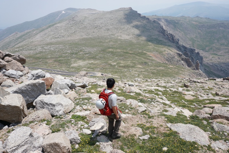
Route: East Ridge - Sawtooth
Mileage: 5.5mi
Vertical: ~4500ft
Time: 10 hours
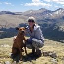
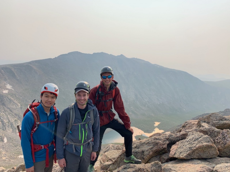
Partners: Peter, Yifan
After having gotten into an epic on Ellingwood Ridge due to miscalculated climbing times, and taking a big step back to do Kelso Ridge, I was looking for a more committing Class 3 route to get back into the swing of things this summer. Peter texted me asking if I wanted to join him on an attempt of the so-called Tour D'Abyss the upcoming Sunday, when I disappointedly reminded him that I had work and would be unable to make it. With a stroke of luck (for me at least), he informed me the next day that one of his partners had injured his hand and wouldn't make it for Sunday, and that we could push off to Monday! Ignoring the fact that I was only his Plan B partner, I excitedly agreed.
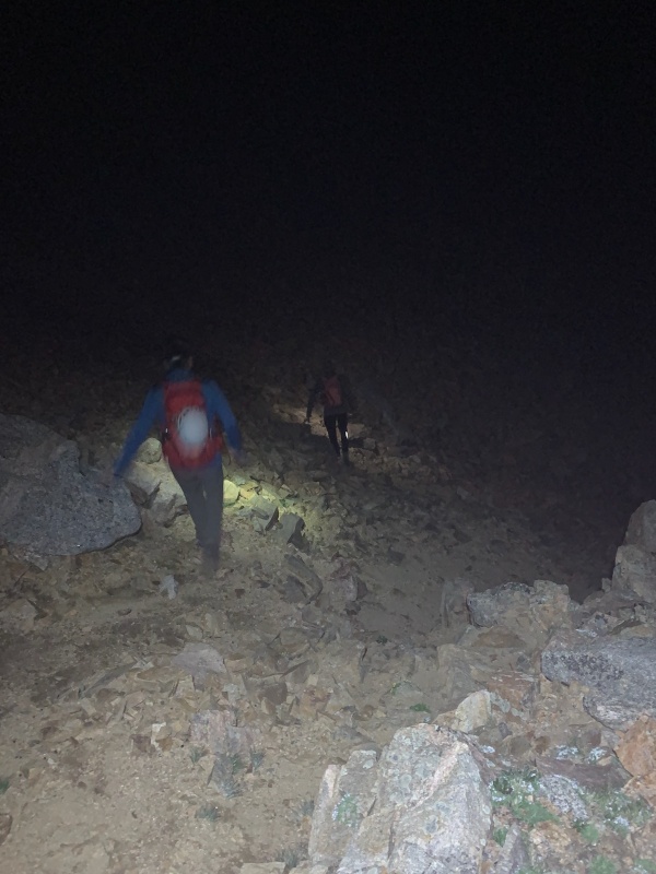
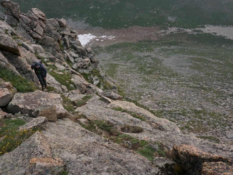
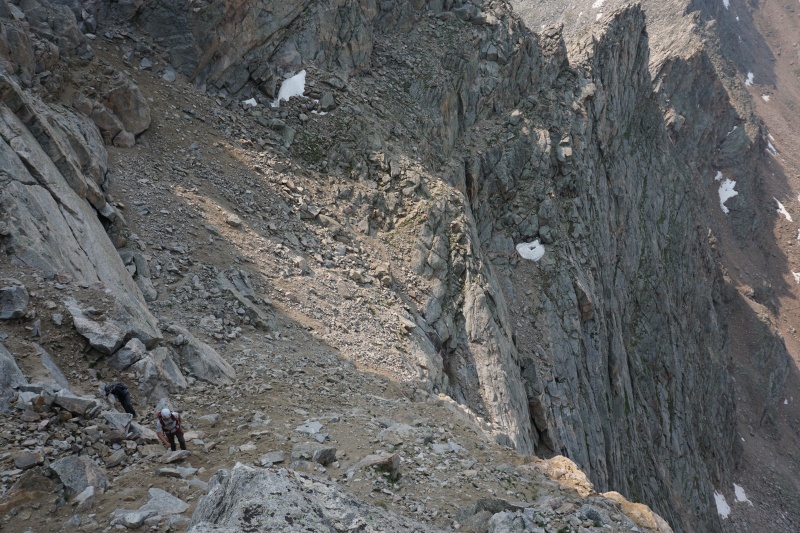
We met up in Idaho Springs at 3:45 and carpooled to the switchback on the Mt. Evans Road, arriving an hour later. To our dismay, upon opening the car door the air smelled like campfire. So much for having good views today. We quickly discovered the trail that led down towards the Evans-Epaulet saddle, and opened the GPX to ensure we could find the correct gully. No cliffing out today! Even despite being in total darkness the gully descent proved to be no problem. The rock was loose but not overly loose, and the striking silhouettes of granite spires to either side of us continued to excite us for the route ahead.
A blurry image showing the not-so-bad gully descent.The Lake Fork drainage looked so ominous and apocalyptic in the morning.
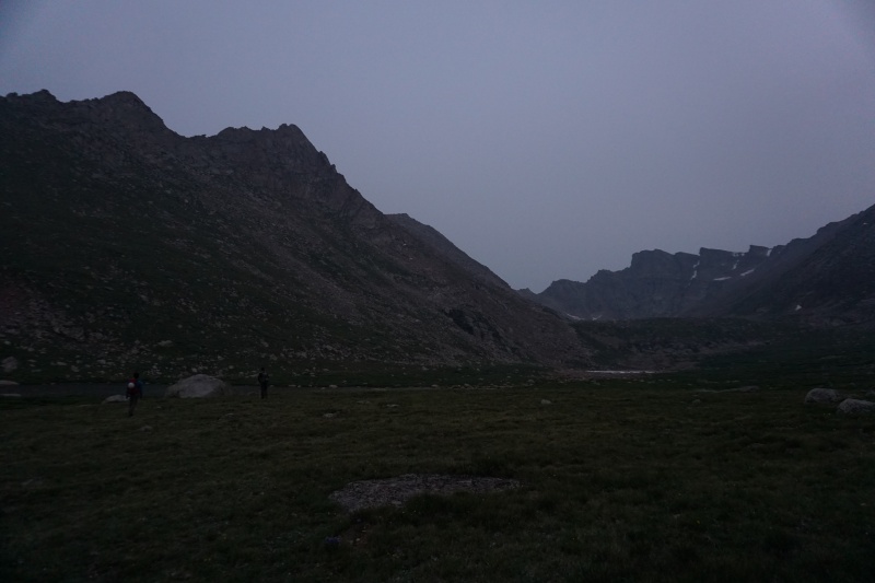
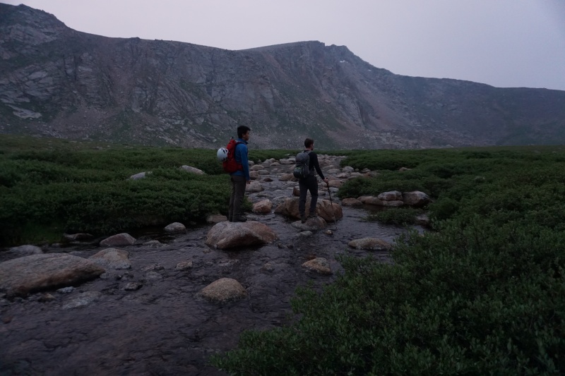
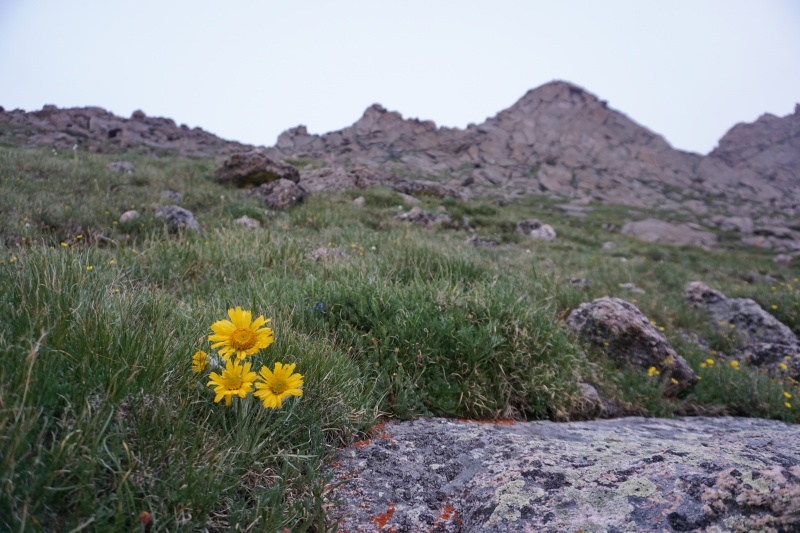
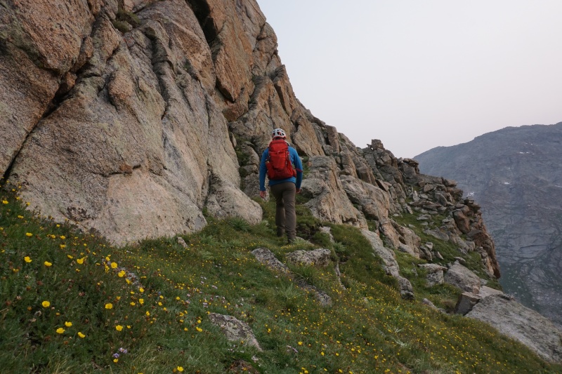
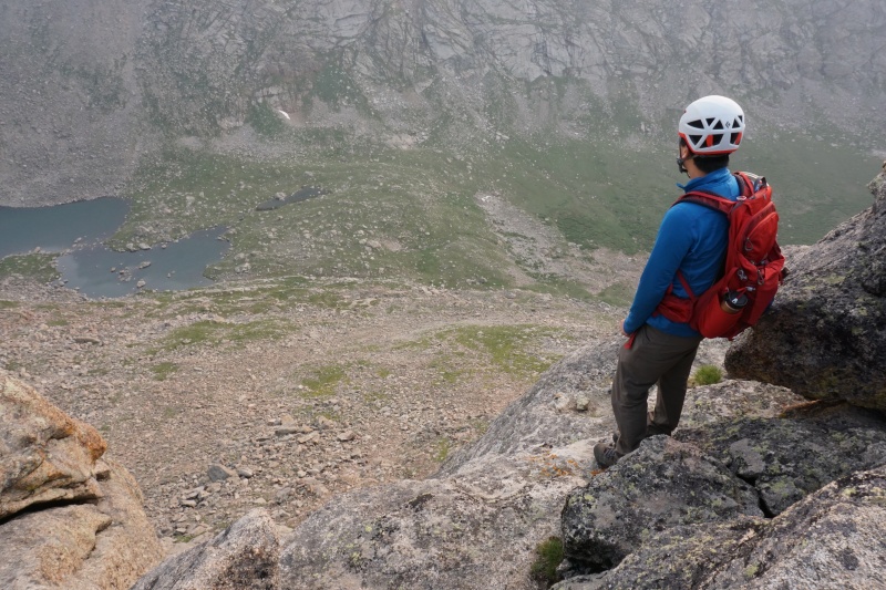
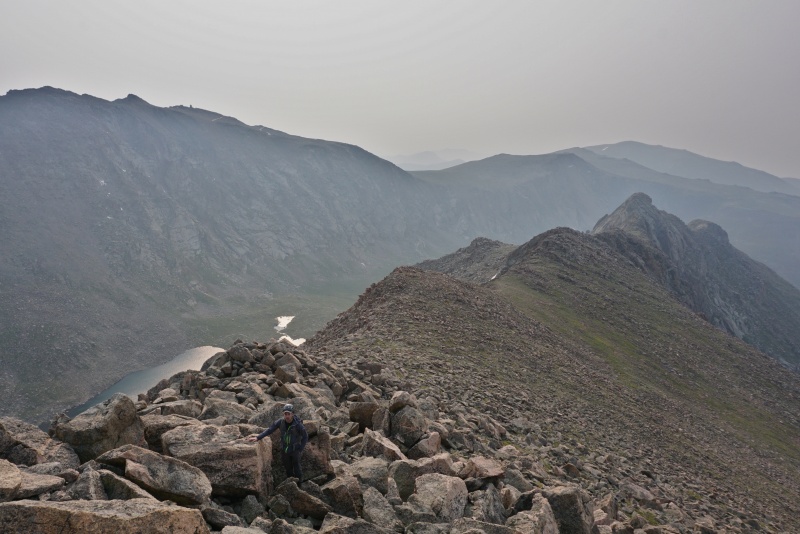
Across the smoky drainage we could see our first line of ascent. The gentle-looking tundra slopes appeared inviting compared to the stark cliffs of Pikes Peak Granite (my favorite flavor) to either side. To get there we had to cross the dreaded marshes south of the lake, which turned out to not be so bad with proper routefinding. We then followed the green streak of grass and flowers up to the East Ridge.
Crossing Lake Fork wasn't so bad. Much better than the other Sawtooth bushwhack!Wildflower season enhances any experience in the mountains.We aimed for the obvious notch.
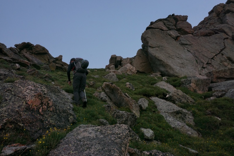
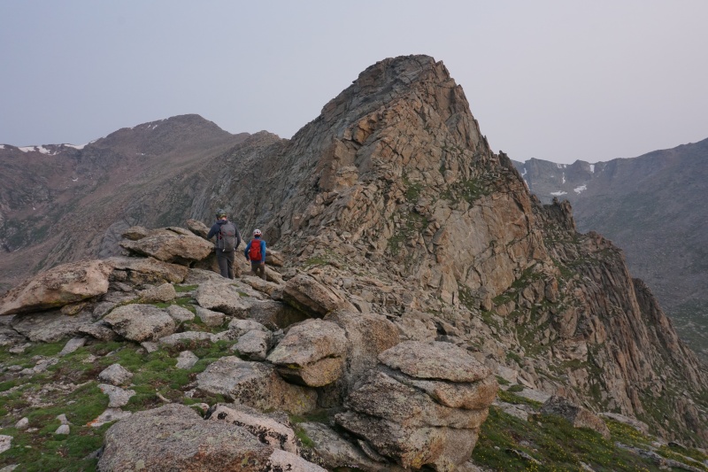
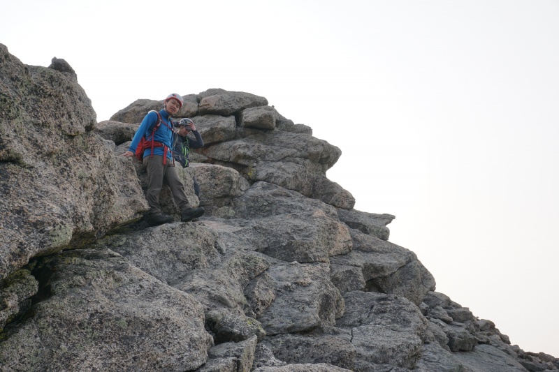
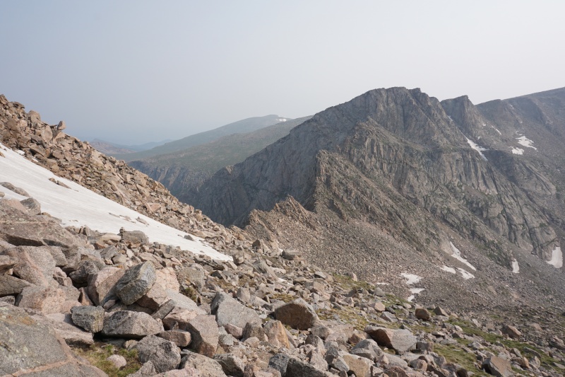
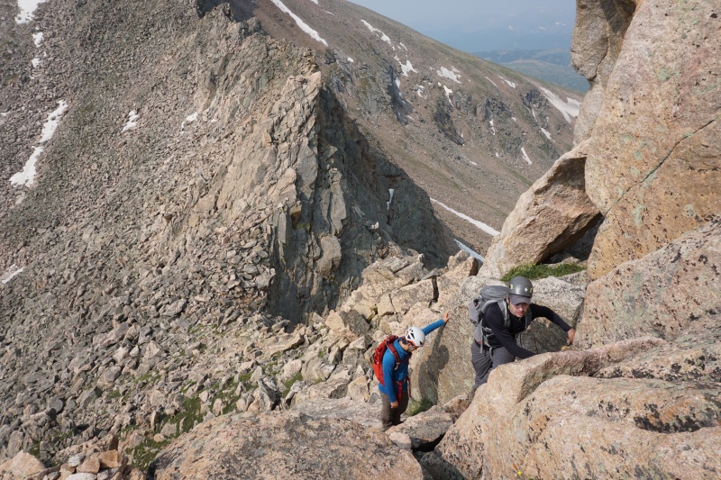
Making it to the notch in about half an hour from the lake, we finally got sick enough of the cold morning breeze to don our windbreakers. Following the route description we turned right and began up the bulletproof rock. The first high point on the ridge is achievable sticking only to Class 2+, and the second low Class 3. After identifying the rock as absolutely bomber we were confident that the crux of the ridge was going to be fun.
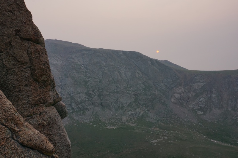
Hard to tell in this picture, but the sun was deep red and we could stare right into it.Me doing some of the Class 3 moves.The crux (Pt. 13,641) looms ahead. It looks insane from this angle, but there's an easy ramp.
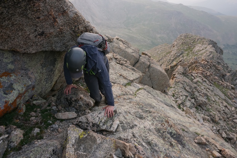
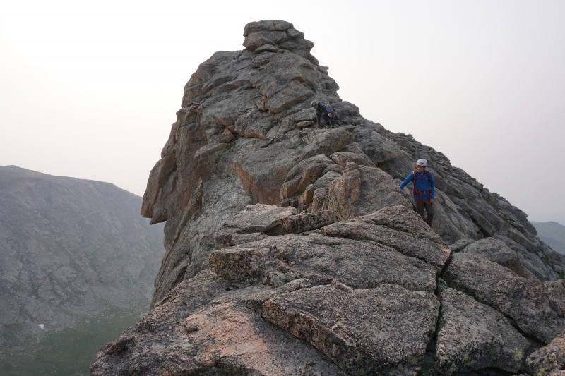
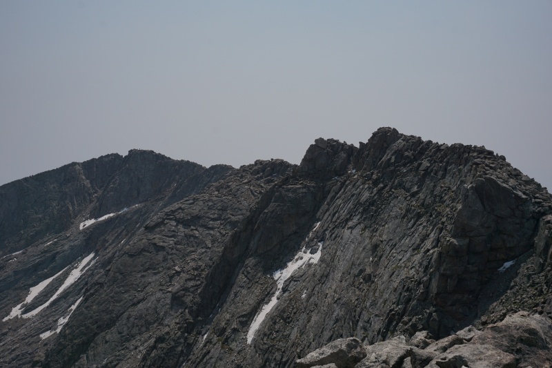
Again referring to the route description we quickly found the workaround ledge that avoids all verticality. The benefit of this route compared to other Class 3 ridgelines is that routefinding is zero to none. We topped out on Pt. 13,641 in what we predicted to be very good time, keeping the moves fun & spicy and soaking up the stunning views. The rock quality couldn't be better, keeping us feeling very secure.
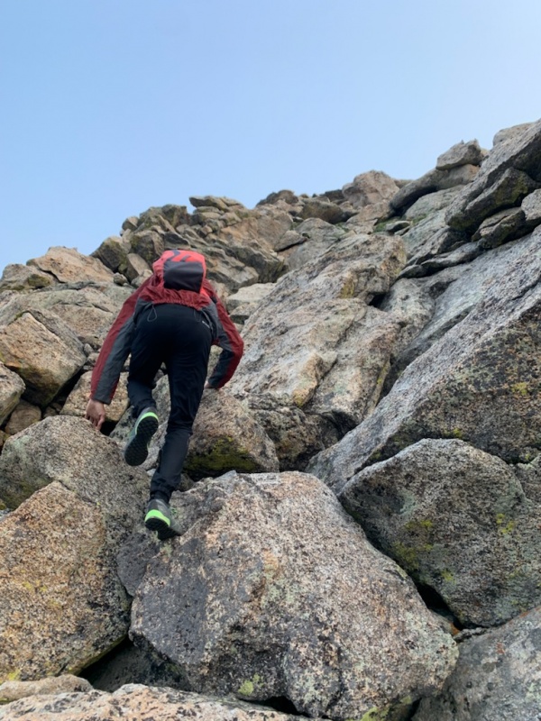
Yifan on the beautiful-looking ramp system.Peter finishing up the ramp, after the hard left turn.Peter pulling the hardest move of the day. We followed a large, low-angle offwidth.Yifan staring down in the Abyss.Downclimbing past Pt. 13,641. The east side has easier moves, or do some Class 4.The crux looks super gnarly from the north end, but remains technically easy.
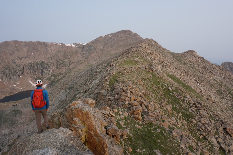
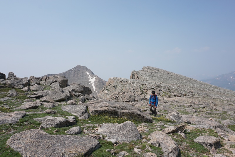
With hardest part of the ridge over with, we cruised through mostly Class 2 terrain to the summit of Bierstadt, following the ridge as closely as possible to still have some fun. Showing off backpack-attached helmets to the congregation of gapers on the summit is one of the best parts about these non-standard routes in my opinion! We ate some "lunch" at 8:30, talked to some friendly people about scrambling routes, and dissuaded another party from doing the Sawtooth (they didn't bring helmets or know the beta, maybe next time guys!). We chatted about our goals for the summer/fall climbing season, went over our plan in case of bail or otherwise, and watched the tiny helmet-wearing dots cross over the crux below us.
Yifan eyeing the remainder of the ridge to Bierstadt.Looking back at the ridge we just climbed. Peter hidden in the foreground for scale.Helmets on to look fashionable. Evans in back. Thanks kind stranger!
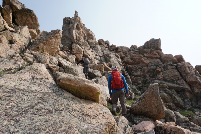
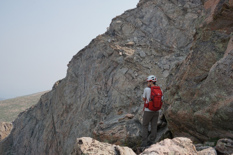
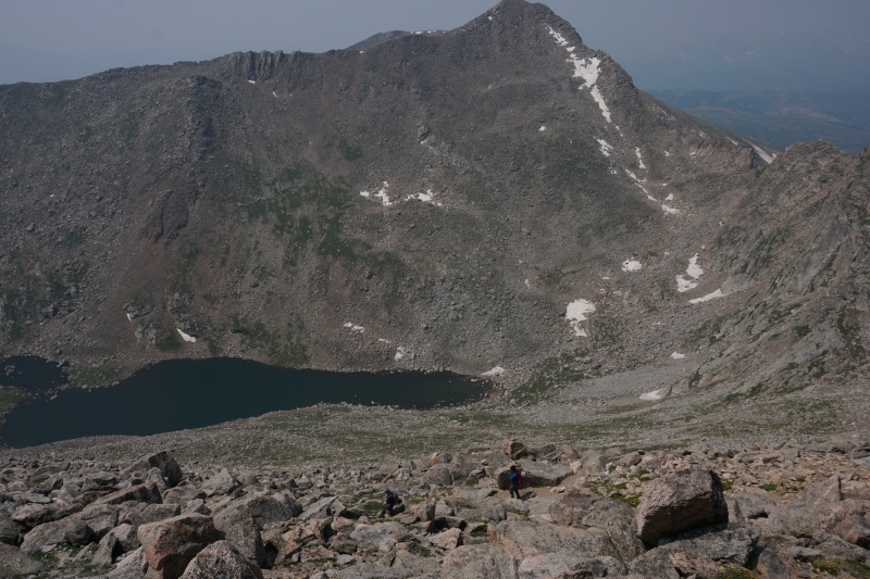
We were making great time and wanted to continue that trend. We shot downhill towards the Sawtooth ridge, aiming for the large fin midway along. We knew this to be the next crux. The slopes from Bierstadt were the loosest portion of the day, since we had decided there was no need to stick to ridge proper, in order to save time. Still, the rock was pretty much solid. Upon arriving, and after giving the party ahead of us a head start in order not to be right underneath them in the crux, we went straight up the leftmost gully in the route description. The moves were just as easy as anything else we had climbed today, and we felt confident knowing that the hardest part of the rest of the day had gone by so quickly. Sitting below the massive Sawtooth, we watched the party ahead of us ascend the loose exit ramp while we took a quick water break.
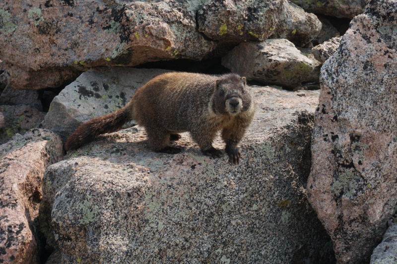
The major fin in this photo was our target. No need to follow the much-harder ridge.Peter making the first moves towards the Class 3 crux gully.We overestimated the difficulty of climbing here, towards the top of the fin. Still fun!Yifan in front of the final ramp, with the massive Diamond-esque wall to the left.A friendly marmot got pretty darn close. Cool picture break!
We ascended the ramp in no time, which was much wider than it looks from afar. Although the ground is super loose in this section, I personally never felt in danger of sliding over the thousand-foot cliffs to our left. I'm amazed that people don't climb these cliffs, as they look to me to be fantastic multipitch climbing for how close they are to Guanella Pass. Maybe it's the bushwhack deterring climbers...
Bye bye buddy!Yifan and Peter make their way up the loose ramp. Sawtooth complete!
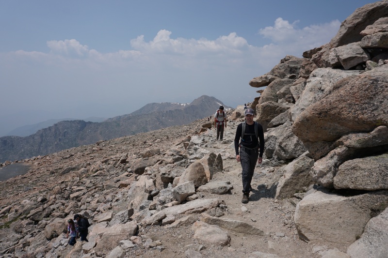
We topped out on the flats, where we met with the pair of climbers in front of our party. We had a brief enjoyable discussion with them before heading separate ways. They went down to the described gully back to Guanella Pass while we went on to the Evans-Spaulding trail towards our second summit. I had hiked this trail as my first fourteener three years prior (or maybe four years?), and it was just as dead-easy as I remembered it to be. I was psyched to tag West Evans along the way. My two much-more-sane companions had no intention of following. I split from them for the time being to go get another really pointless summit.
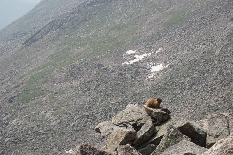
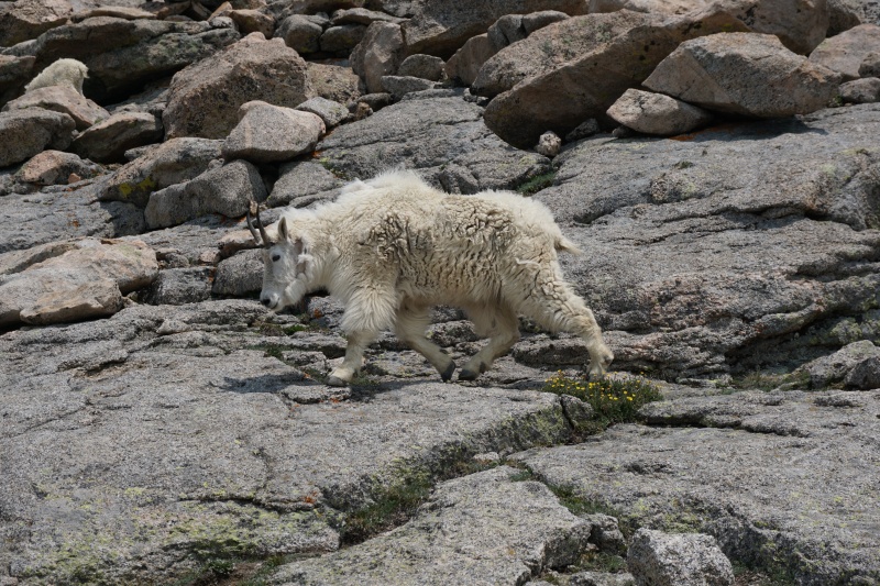
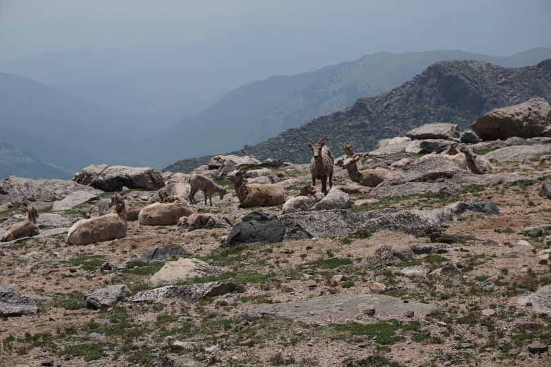
Yifan, along with Peter, was feeling the mileage at this point...The boys barely visible on the trail below, with most of our route across the lake.On the way to West Evans. The group of tourists can be seen far left.Okay seriously. What is up with the animals in the Mt. Evans Wilderness?
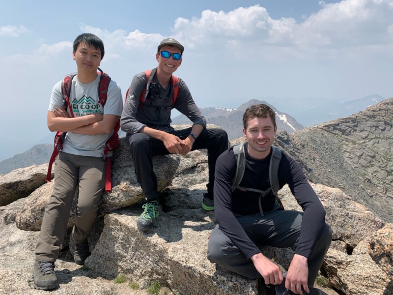
I booked it back down from West Evans to meet up with Yifan and Peter, where we made our way for the parking lot and subsequently the summit. Our legs were most definitely sore at this point, but we stubbornly pushed on. We made the summit of Mt. Evans with perfect weather, something we totally didn't expect at this time of day. We had a good laugh about the tourist culture up here, then went straight downhill back to the car.* It didn't take too long to return, but it definitely felt like it did with our energy levels at that point! We drove out close to 14:00 if I remember correctly, with an awesome day of scrambling behind us.
* I'm curious: if we were sticking to the rocks not touching the tundra as much as possible, was it alright that we cut the switchbacks? We had a guy ridicule us from his car, which normally wouldn't bother me, but he does have a point. My only argument would be that if Leave No Trace was the main goal in this area, the road wouldn't be there. Or the area would be blocked off. However I realize I could definitely be wrong, so I would appreciate some community consensus.
The home stretch. No, not that Homestretch!The good news about endless tourists is endless photographers!The amount of animals up here is probably not a good sign...We resented how we were "so close but so far." Huge final switchback.
What a terrific day! The weather held, the rock was perfect, and the people were enjoyable. I would highly recommend this route, especially over the standard Sawtooth route. Well, as long as you can snag a Mt. Evans Road permit this year. This route will go down as my current favorite Class 3 ridge, but I'll update if it changes!
Thumbnails for uploaded photos (click to open slideshow):
IMO it's important to stick to a trail if one is available. But would I cut those huge switchbacks if I was exhausted after a hard route? Probably, but does that mean it's okay? You may have stuck to the rocks (which is the correct thing to do if a trail is absent) but if the hundreds of tourists see you hiking off trail and think it's okay (and they didn't know you were rock hopping), they might all do the same. And if day after day, hikers walked off trail on Mt Evans, would any tundra be spared? The most important thing in busy areas like this may be to try to set a good example for others who don't know any better and will follow blindly.
LNT is up to you to achieve (and me, and every other person). Yes, there is a road. No, there isn't a fence. But that doesn't mean that you can pick wildflowers or litter or build a campfire on the tundra. LNT is just as applicable in developed parks as it is in untouched wilderness. We are all responsible for protecting our natural areas.
I suppose in such a high-traffic area with people to be a good role model around, we should have followed the road back down. Thanks for your response Chelsea!
Caution: The information contained in this report may not be accurate and should not be the only resource used in preparation for your climb. Failure to have the necessary experience, physical conditioning, supplies or equipment can result in injury or death. 14ers.com and the author(s) of this report provide no warranties, either express or implied, that the information provided is accurate or reliable. By using the information provided, you agree to indemnify and hold harmless 14ers.com and the report author(s) with respect to any claims and demands against them, including any attorney fees and expenses. Please read the 14ers.com Safety and Disclaimer pages for more information.
Please respect private property: 14ers.com supports the rights of private landowners to determine how and by whom their land will be used. In Colorado, it is your responsibility to determine if land is private and to obtain the appropriate permission before entering the property.
")
")
")
")
")
")
")
")
")
")
")
")
")
")
")
")
")
")
")
")
")
")
")
")
")
")
")
")
")
")
")
")