Download Agreement, Release, and Acknowledgement of Risk:
You (the person requesting this file download) fully understand mountain climbing ("Activity") involves risks and dangers of serious bodily injury, including permanent disability, paralysis, and death ("Risks") and you fully accept and assume all such risks and all responsibility for losses, costs, and damages you incur as a result of your participation in this Activity.
You acknowledge that information in the file you have chosen to download may not be accurate and may contain errors. You agree to assume all risks when using this information and agree to release and discharge 14ers.com, 14ers Inc. and the author(s) of such information (collectively, the "Released Parties").
You hereby discharge the Released Parties from all damages, actions, claims and liabilities of any nature, specifically including, but not limited to, damages, actions, claims and liabilities arising from or related to the negligence of the Released Parties. You further agree to indemnify, hold harmless and defend 14ers.com, 14ers Inc. and each of the other Released Parties from and against any loss, damage, liability and expense, including costs and attorney fees, incurred by 14ers.com, 14ers Inc. or any of the other Released Parties as a result of you using information provided on the 14ers.com or 14ers Inc. websites.
You have read this agreement, fully understand its terms and intend it to be a complete and unconditional release of all liability to the greatest extent allowed by law and agree that if any portion of this agreement is held to be invalid the balance, notwithstanding, shall continue in full force and effect.
By clicking "OK" you agree to these terms. If you DO NOT agree, click "Cancel"...
Tuesday, July 6, 2021. In late June, Randy and I wanted to do a ridge run from the Rogers Pass trailhead over James Peak and five other summits on the way to Berthoud Pass, but a poor weather forecast caused us to cancel that trip and climb Medano Peak and Mt. Herard instead. With rain chances forecast to be only 15% tomorrow, we jumped at the opportunity to reschedule the ridge run.
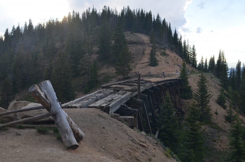
The Riflesight Notch railroad trestle at the Rogers Pass trailhead on Forest Road 149, about 10.8 miles west of U.S. 40 near Winter Park (All photos by Randy Mack)
After leaving my 4Runner at Berthoud Pass, I rode with Randy in his 4Runner to the Rogers Pass trailhead.
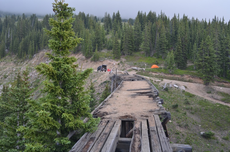
A closer look at the railroad trestle
Camping options were limited at the trailhead, but we found a (mostly) level area to set up our tent. The Rogers Pass trail heads into the trees south (right) of the tent
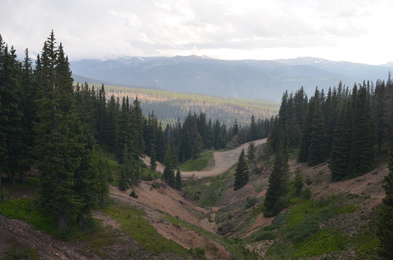
Looking west toward Winter Park from the Rogers Pass trailhead; FR 149 (center) is Subaruable, though the last 1/2 mile to the trailhead is a bit rough
Wednesday, July 7, 2021. With a good weather forecast, Randy and I didn't need a super-early start and intended to start hiking about a half hour before first daylight. When the alarm went off, I commented that the night seemed to go by quickly.
We broke camp and, while eating breakfast, realized why we didn't feel like we'd gotten eight hours of sleep: my watch has three separate alarms, and two of them were still set to go off at midnight from Randy's Cielo Vista Ranch trip the previous weekend.
Randy and I considered our options and decided we didn't feel like setting up the tent again but didn't want to start hiking at 12:30 AM either. We put our sleeping bags and thermarests on the tent's footprint and slept under the stars for four hours. That was the right call.
When the alarm went off at the correct time, we threw our gear into Randy's 4Runner, grabbed our daypacks, and within five minutes were hiking south along the pleasant Rogers Pass trail.
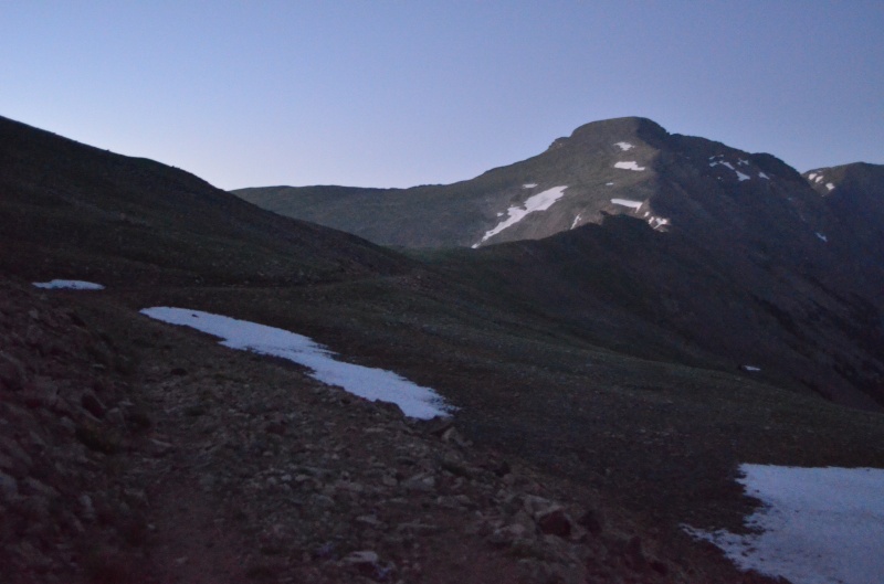
James Peak in the early morning light
The Ute Trail goes left here. Stay right to continue toward James Peak
Looking back (north) toward the Rogers Pass trailhead from the same location as the previous photo; you can see how gentle the trail is
Early morning sky from the Rogers Pass trail
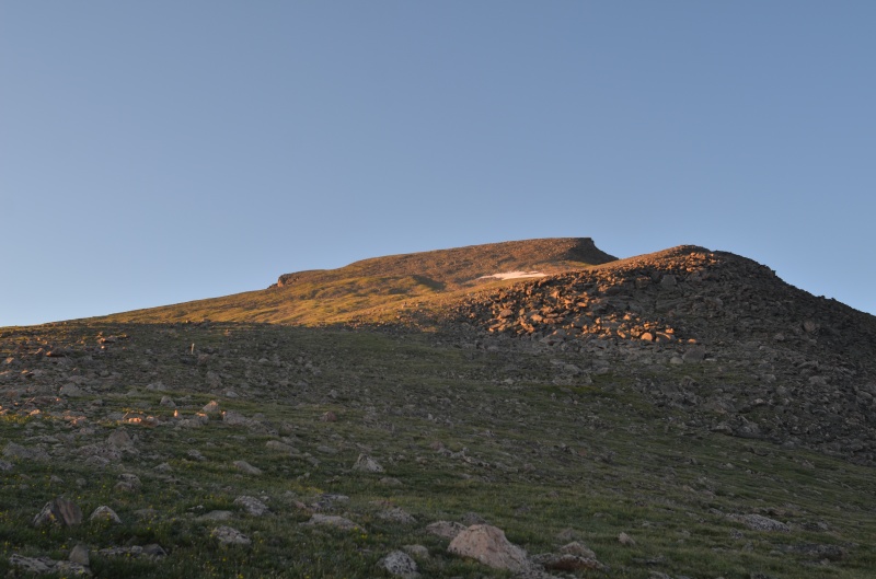
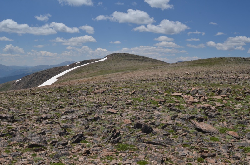
The trail bypasses a ridge bump on its way toward James Peak (the high point in the distance)
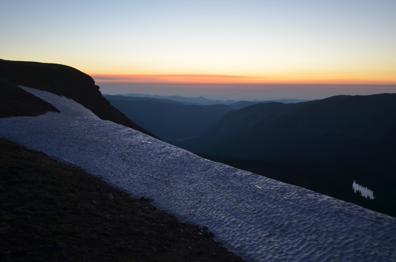
A little bit of snow on the high plateau
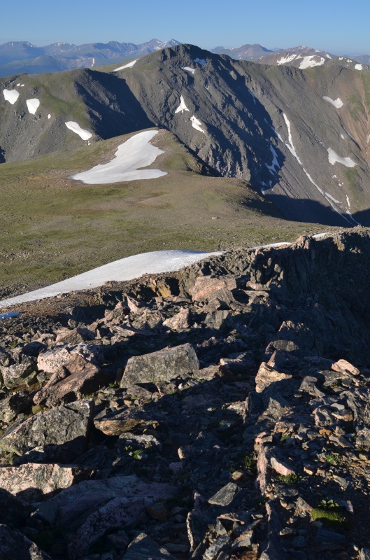
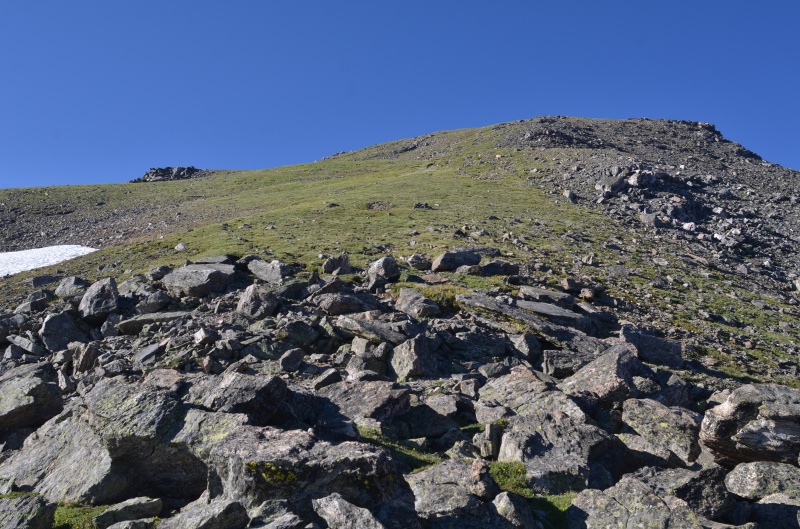
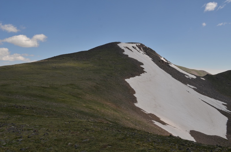
James Peak as seen from the north
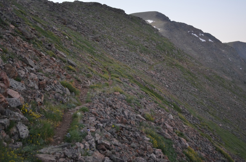
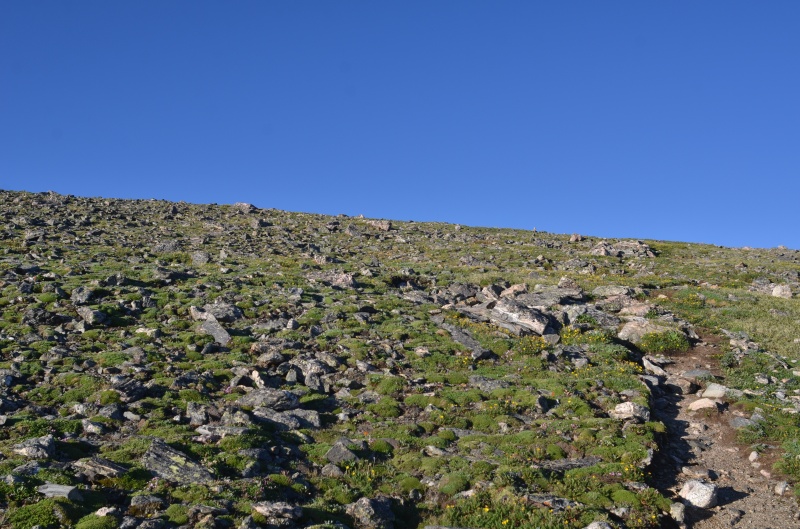
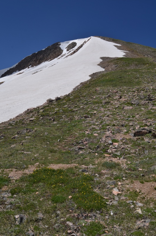
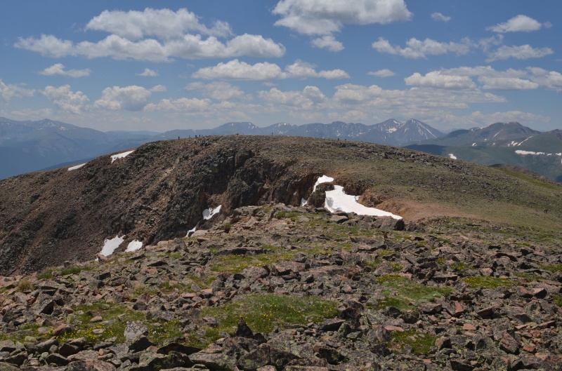
The trail continues up the gentle tundra/rock toward the summit of James Peak
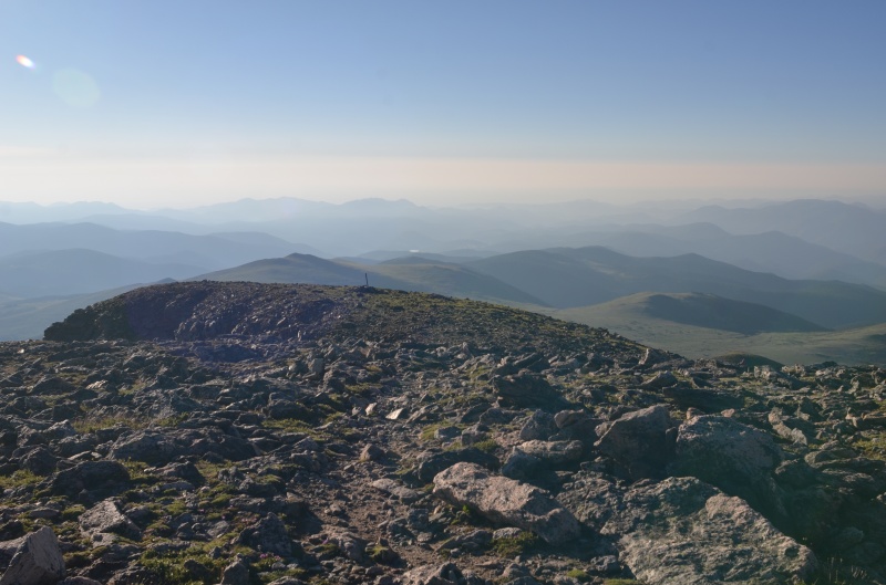
The summit of James Peak
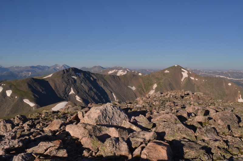
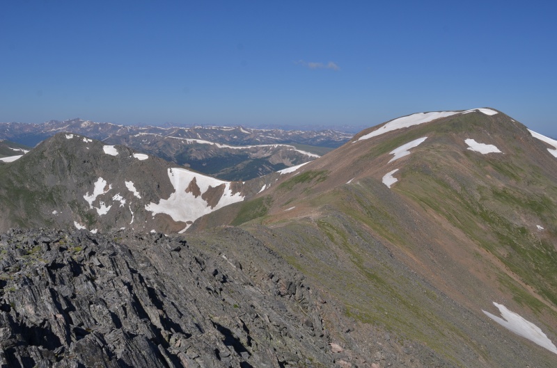
Mt. Bancroft (left) and Parry Peak from the summit of James Peak
The initial part of the descent toward Mt. Bancroft was gentle
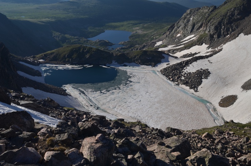
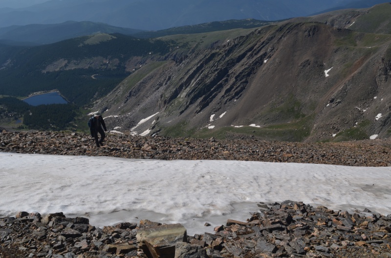
Looking down on the well-named Ice Lake from the James Peak - Mt. Bancroft ridge
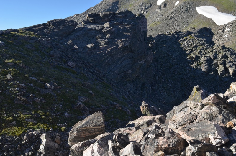
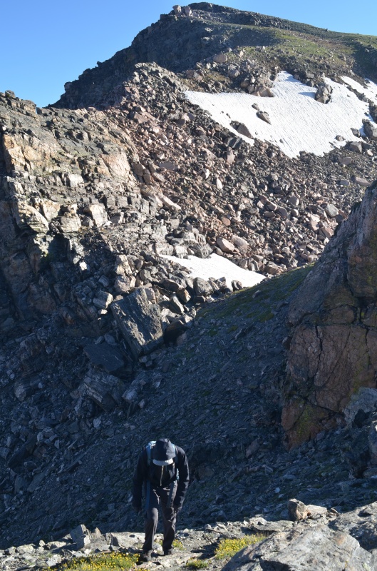
We'd heard that the traverse from James Peak to Mt. Bancroft was the hardest part of the ridge run, which it was. We'd also heard that the traverse was a bit sketchy and might even have a class 4 section. However, Randy and I had no trouble finding a route that was no more than class 2+, and our route choices were frequently reinforced by the presence of cairns. I suspect the route is more obvious going from James to Bancroft rather than from Bancroft to James (which is the direction most people go).
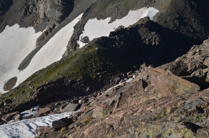
We bypassed the snow in the lower left of the photo on our descent to the James - Bancroft saddle
Near the James - Bancroft saddle
Ascending Mt. Bancroft, with the south side of James Peak visible behind
The north side of Mt. Bancroft was mostly grass with some rocks thrown in for good measure
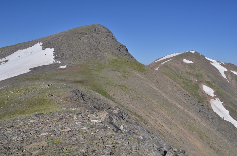
Mt. Bancroft (left) and Parry Peak from about 13,000' on Mt. Bancroft
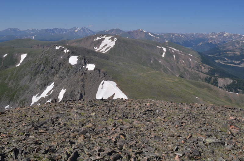
James Peak from the summit of Mt. Bancroft
Looking west toward Parry Peak from the summit of Mt. Bancroft
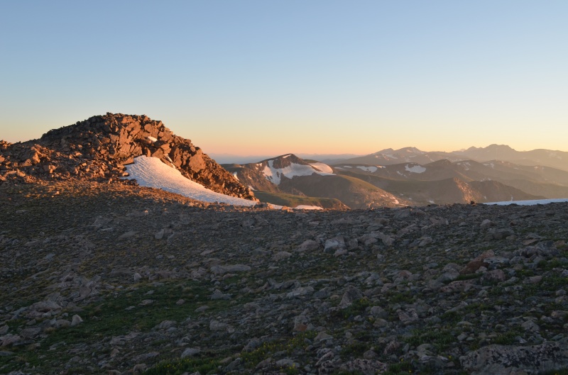
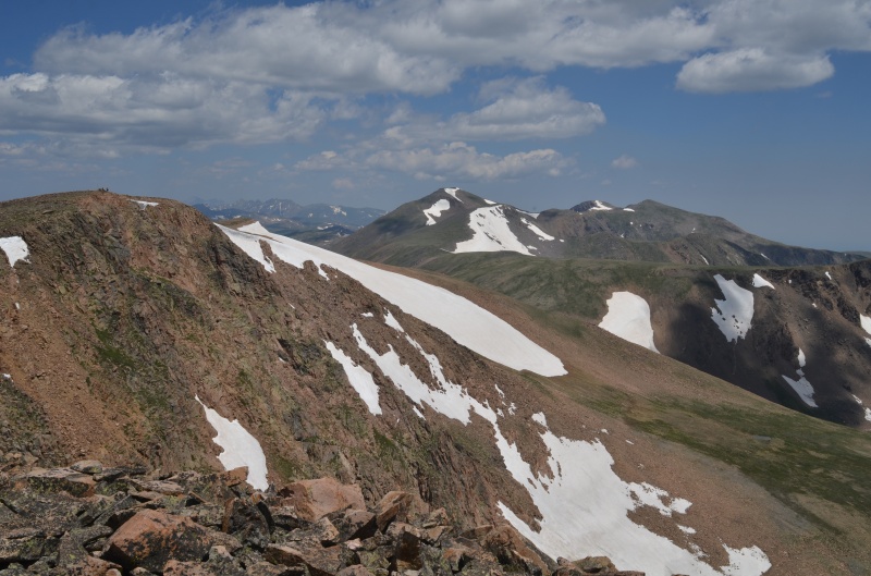
Parry Peak from near the Mt. Bancroft - Parry Peak saddle
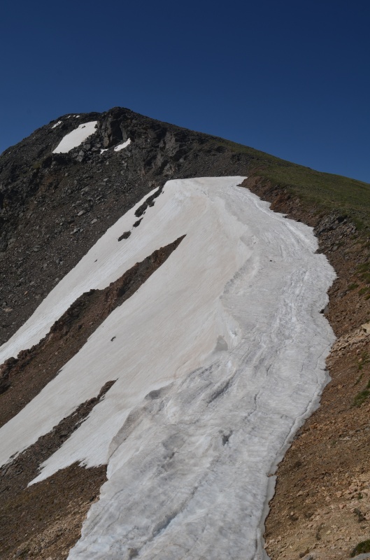
Nearing snow just below (and east of) Parry Peak's summit
Mt. Eva (left) and Mt. Flora (center) from the summit of Parry Peak
Looking south at Mt. Eva
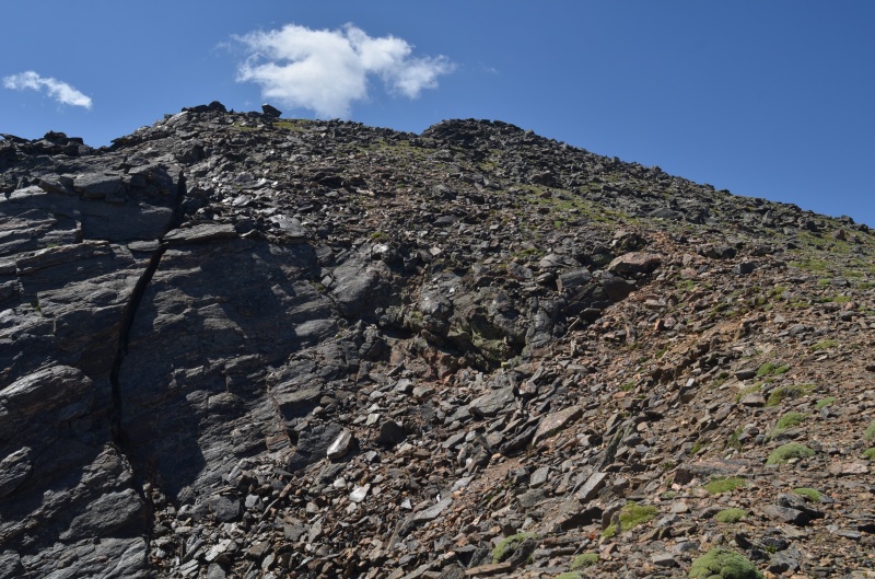
A rocky section below the summit of Mt. Eva
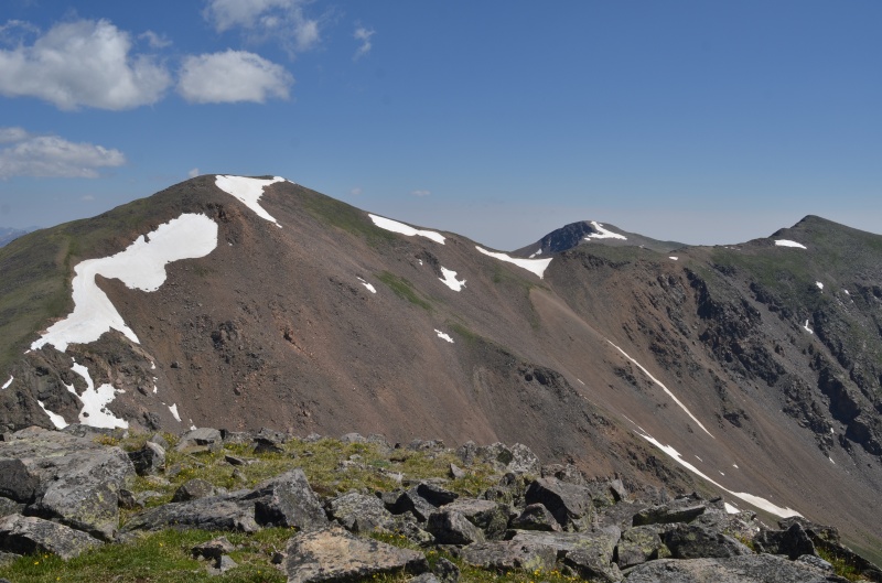
Parry Peak (left), James Peak right of center), and Mt. Bancroft (right) from the summit of Mt. Eva
Mt. Flora from the summit of Mt. Eva
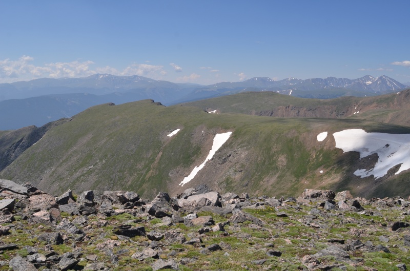
Looking south from the summit of Mt. Eva
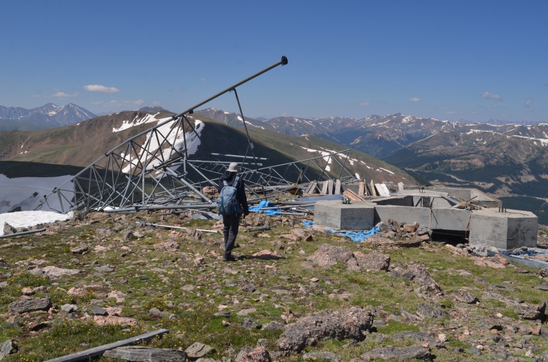
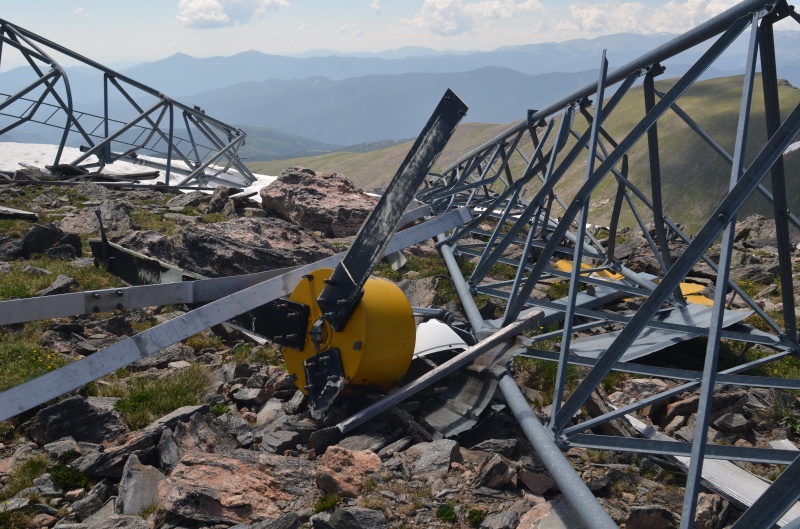
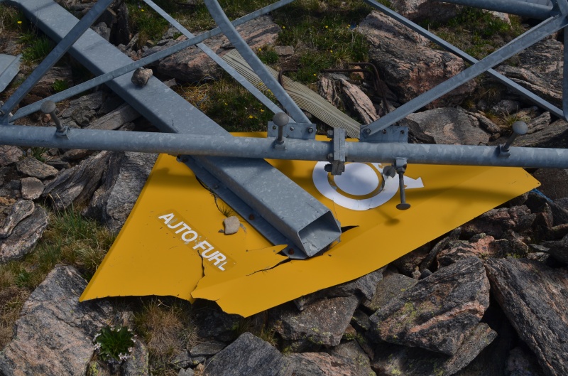
A radio tower on the summit of Mt. Eva that was destroyed by high winds
The tower included a windmill
A closer look
Looking back at Mt Eva from the Flora - Eva saddle
Approaching Mt. Flora
Gentle terrain on the approach to Mt. Flora
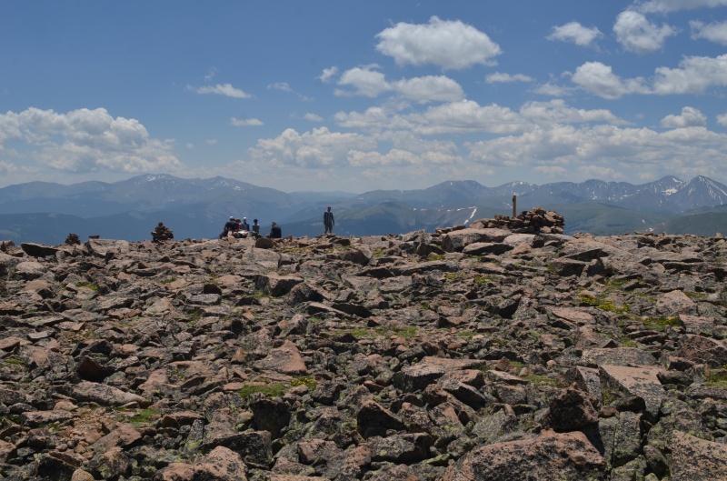
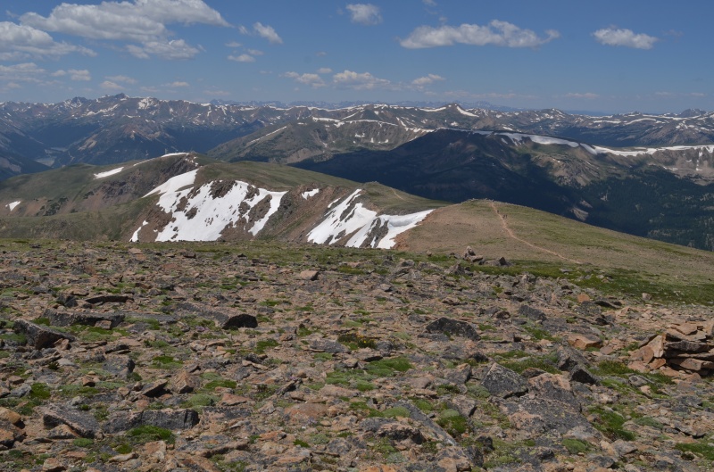
Lots of people are visible on Mt. Flora
Looking back north from the summit of Mt. Flora
The summit of Mt. Flora; the closer we got to Berthoud Pass, the more people we saw
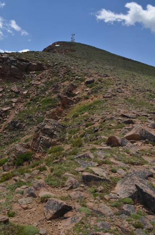
The east ridge of Mt. Flora takes us to Colorado Mines Peak and Berthoud Pass
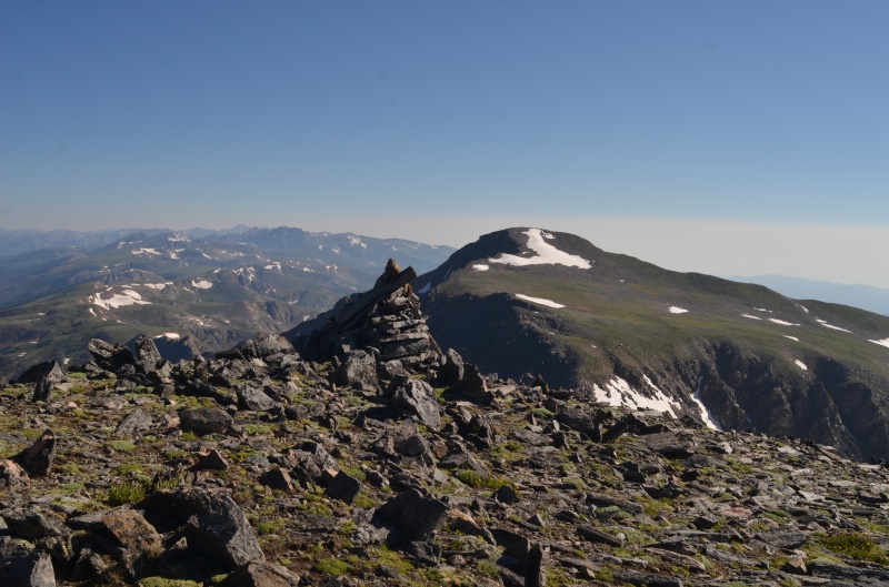
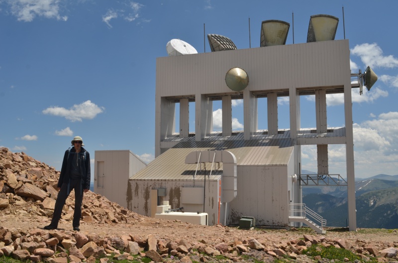
Today's final mountain: Colorado Mines Peak
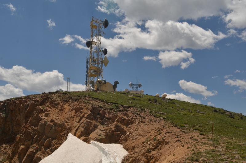
The radio towers on Colorado Mines Peak became more visible as we ascended
A closer look at the radio towers on Colorado Mines Peak
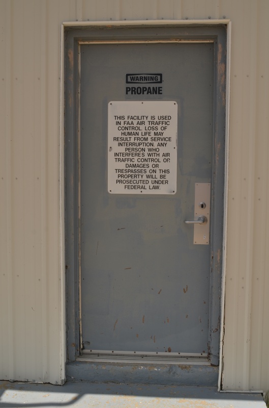
Don't touch it! Don't even look at it!
It looks like the design of this structure is meant to allow the wind to pass through easily
After exploring the equipment on Colorado Mines Peak, we headed directly to Berthoud Pass, mostly avoiding the longer route down the road. Once we got to Berthoud Pass, we drove back to the Rogers Pass trailhead and retrieved Randy's 4Runner. Our ridge run had gone as well as could be expected (except for the inadvertent early alarm). I love it when a plan comes together and highly recommend this ridge run if you have two vehicles available for a vehicle shuttle.
Thumbnails for uploaded photos (click to open slideshow):
Yeah, from now on I'll be making it a point to check the time before I get up in the morning (and take down the tent), even if I wake up to an alarm. Luckily it was a great day apart from that little glitch!
That radio tower on the summit of mt. Eva was still standing IIRC in the summer of 1987 when we hiked it on a CMC trip.
Every time I have skied at winter park, I always thought about how much fun it would be to hike those peaks.
Looks like you had a great time in a wonderful place.
Caution: The information contained in this report may not be accurate and should not be the only resource used in preparation for your climb. Failure to have the necessary experience, physical conditioning, supplies or equipment can result in injury or death. 14ers.com and the author(s) of this report provide no warranties, either express or implied, that the information provided is accurate or reliable. By using the information provided, you agree to indemnify and hold harmless 14ers.com and the report author(s) with respect to any claims and demands against them, including any attorney fees and expenses. Please read the 14ers.com Safety and Disclaimer pages for more information.
Please respect private property: 14ers.com supports the rights of private landowners to determine how and by whom their land will be used. In Colorado, it is your responsibility to determine if land is private and to obtain the appropriate permission before entering the property.


")
")
")
")
")
")
")
")
")
")
")
")
")
")
")
")
")
")
")
")
")
")
")
")
")
")
")
")
")
")
")
")
")
")
")
")
")
")
")
")
")
")
")
")
")
")