Download Agreement, Release, and Acknowledgement of Risk:
You (the person requesting this file download) fully understand mountain climbing ("Activity") involves risks and dangers of serious bodily injury, including permanent disability, paralysis, and death ("Risks") and you fully accept and assume all such risks and all responsibility for losses, costs, and damages you incur as a result of your participation in this Activity.
You acknowledge that information in the file you have chosen to download may not be accurate and may contain errors. You agree to assume all risks when using this information and agree to release and discharge 14ers.com, 14ers Inc. and the author(s) of such information (collectively, the "Released Parties").
You hereby discharge the Released Parties from all damages, actions, claims and liabilities of any nature, specifically including, but not limited to, damages, actions, claims and liabilities arising from or related to the negligence of the Released Parties. You further agree to indemnify, hold harmless and defend 14ers.com, 14ers Inc. and each of the other Released Parties from and against any loss, damage, liability and expense, including costs and attorney fees, incurred by 14ers.com, 14ers Inc. or any of the other Released Parties as a result of you using information provided on the 14ers.com or 14ers Inc. websites.
You have read this agreement, fully understand its terms and intend it to be a complete and unconditional release of all liability to the greatest extent allowed by law and agree that if any portion of this agreement is held to be invalid the balance, notwithstanding, shall continue in full force and effect.
By clicking "OK" you agree to these terms. If you DO NOT agree, click "Cancel"...
Thursday, June 24, 2021. Randy was part of a group of 15 (yes, 15) scheduled to meet at Cielo Vista Ranch on Friday, June 25, 2021, to climb the northern 13ers on CVR the next day. Unfortunately, a black cloud arose in the form of an unfavorable National Weather Service forecast (80% chance of showers and thunderstorms), which caused the trip to be postponed.
A poor weather forecast seemed to rear its ugly head no matter where Randy and I looked for alternative climbs. Finally, we settled on a trip to the Sangre de Cristos to visit Medano Peak, Mt. Herard, and Unnamed (UN) 12,925', where Friday's weather forecast called for a 60% chance of showers and thunderstorms after 11 a.m. (Yes, that's the best we could find.)
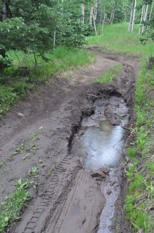
We drove through Walsenburg and Gardner to County Road 559, which took us to Medano Pass and the entrance to Great Sand Dunes National Park and Preserve. In another 3/4 of a mile, we reached the Medano Lake trailhead. Well, almost; we were stopped by a deep mud-filled rut in the road shortly before the trailhead.
It's deep enough to lift the left rear tire of Randy's 4Runner off the ground. That's when we decided to back up...
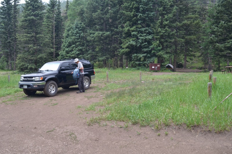
...and set up camp at a nice site (complete with a bear box and picnic table) a couple hundred feet before the muddy rut in the road
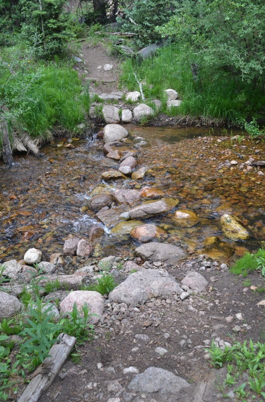
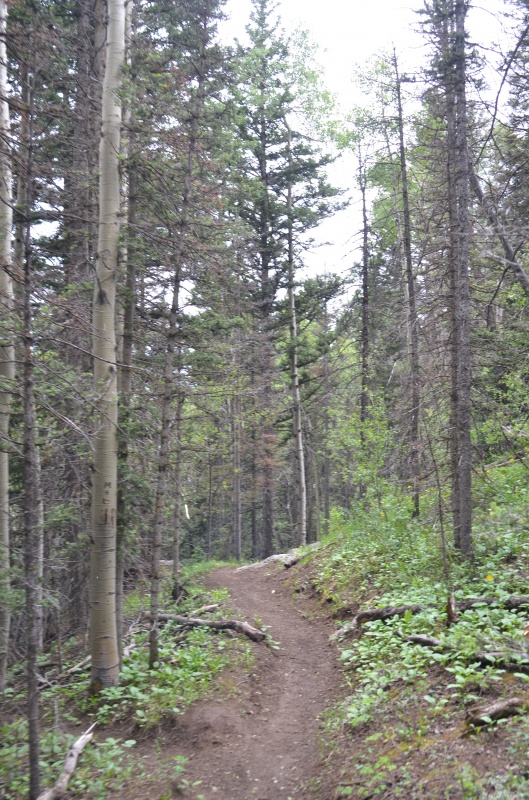
Friday, June 25, 2021. The trail to Medano Lake begins by crossing Medano Creek (the same creek that eventually flows past the sand dunes). The bridge that used to be here is long gone, but we had no trouble walking across Medano Creek on some well-placed rocks.
The creek crossing at the Medano Lake trailhead
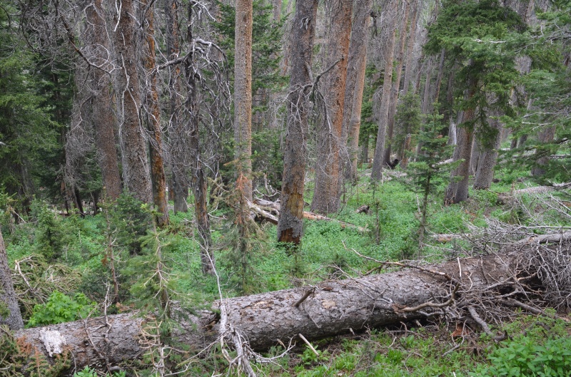
Every fallen tree on the scenic Medano Lake trail had been recently cleared. Thank you, National Park Service!
The trail to Medano Lake climbs steadily, so it's easy to keep a decent pace. We reached the lake in less than two hours.
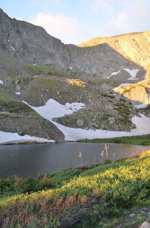
The scenic Medano Lake
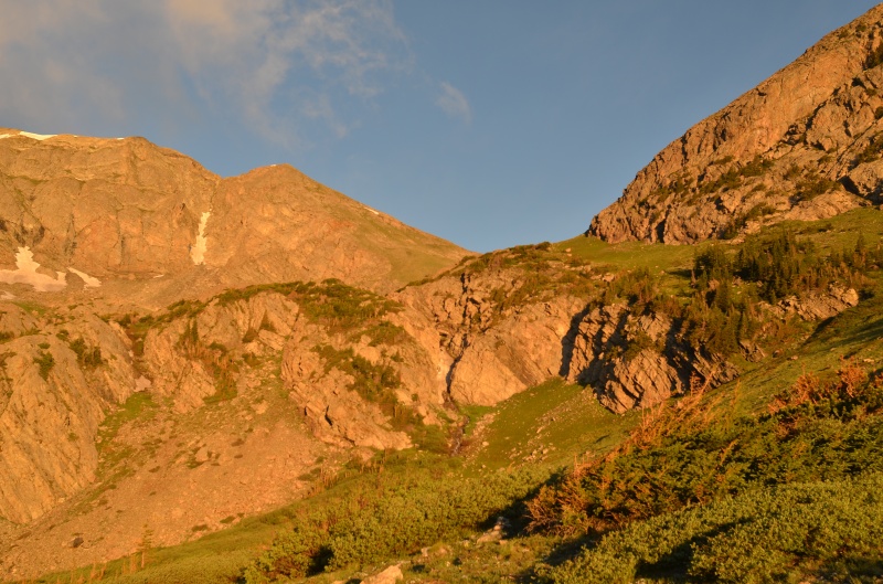
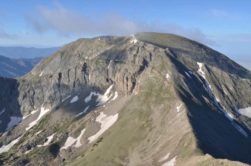
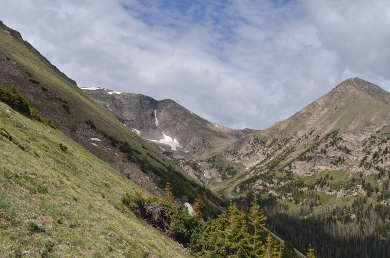
Mt. Herard (left) from Medano Lake
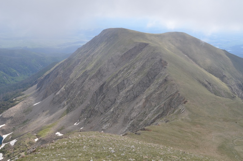
Our route up Medano Peak headed toward its east ridge. Medano Peak's summit is out of view behind the high point you see here
Once we were on the east ridge of Medano Peak, winds were a steady 20+ mph
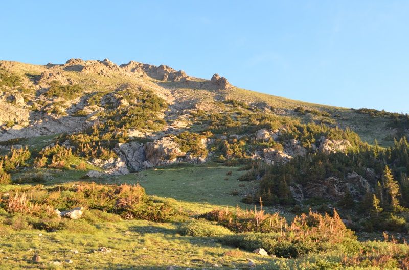
Medano Peak's east ridge never exceeded Class 2
Looking west toward Medano Peak's summit (just behind the high point left of center) from Medano's east ridge
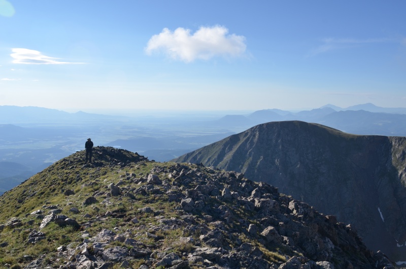
Almost to the summit of Medano Peak
Mt. Herard from the summit of Medano Peak
Views from the summit of Medano Peak did not disappoint
We did not find a summit register on Medano Peak. Due to the strong winds, we quickly continued south along the Class 2 ridge toward Mt. Herard.
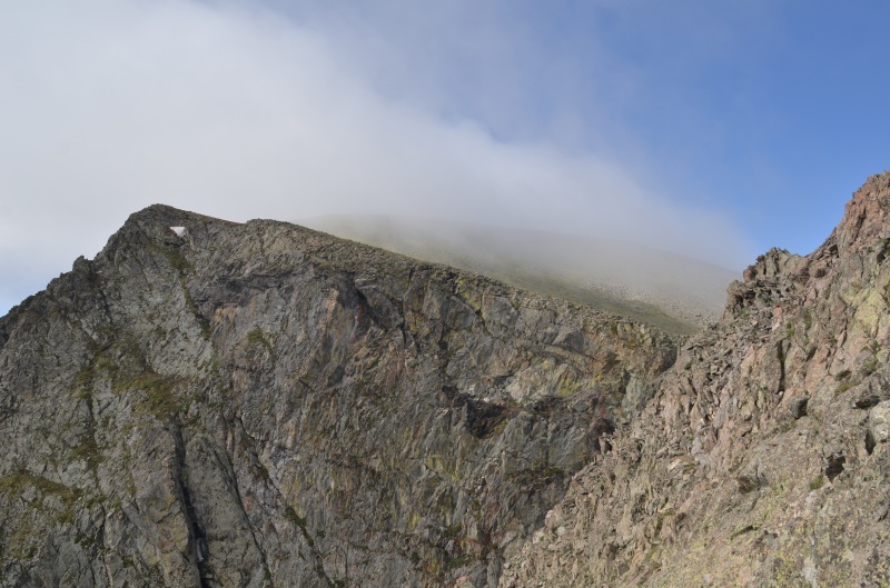
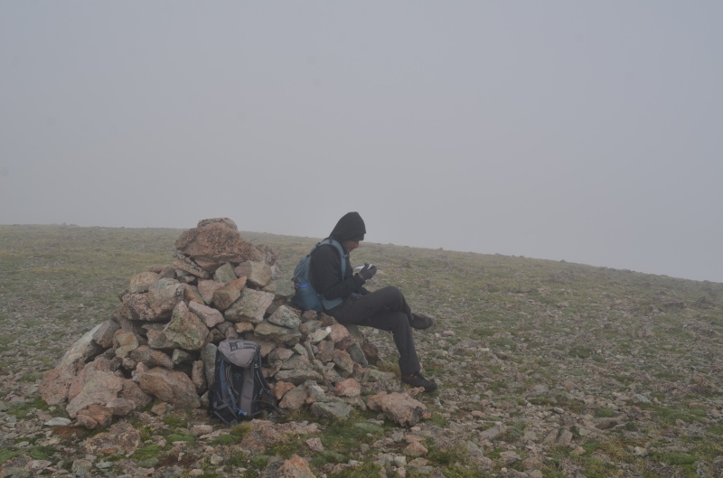
It's getting foggy on Mt. Herard
Mt. Herard's summit cairn
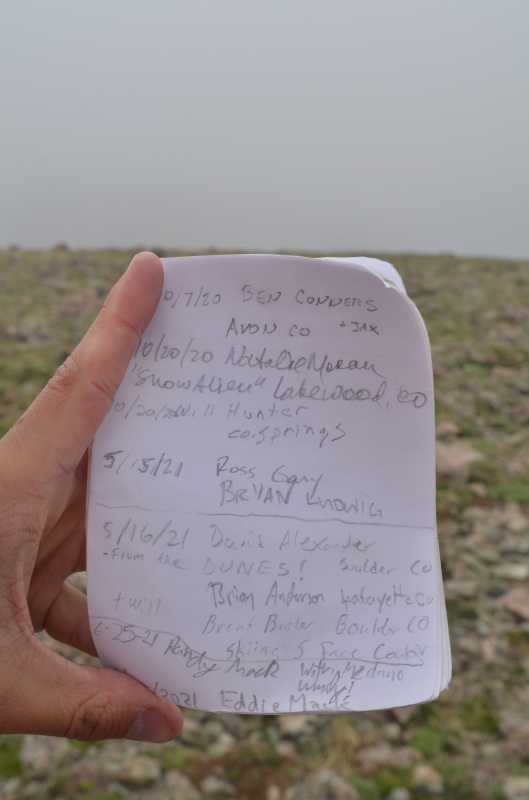
The summit register on Mt. Herard
Seeing signatures from Ross and Bryan less than six weeks ago caused me to reflect on how they undoubtedly were having a great time that day, just as Randy and I were today, and then on June 19th disaster struck in an instant on Pico Aislado. I wonder how many of us, myself included, have been on the verge of things going completely sideways but never realized it. Be careful out there, everyone. And RIP, Bryan.
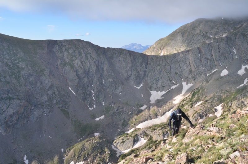
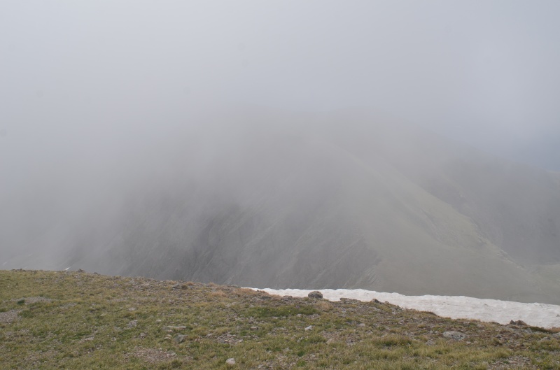
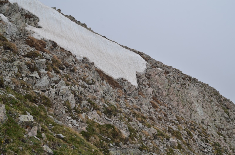
After a short break, we headed east through the clouds toward UN 12,925, keeping to the left of the snow...
...because it was rather steep
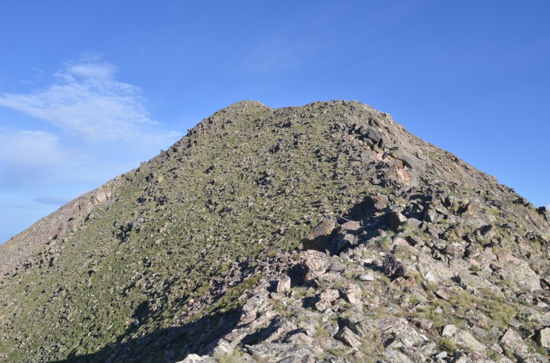
UN 12,925's true summit is to the left (north)
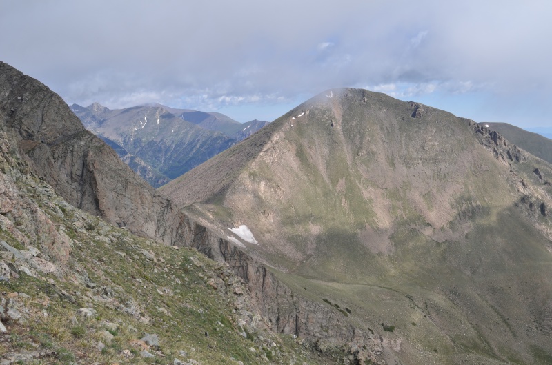
Medano Lake from the ridge between Mt. Herard and UN 12,925
Medano Peak from the ridge between Mt. Herard and UN 12,925
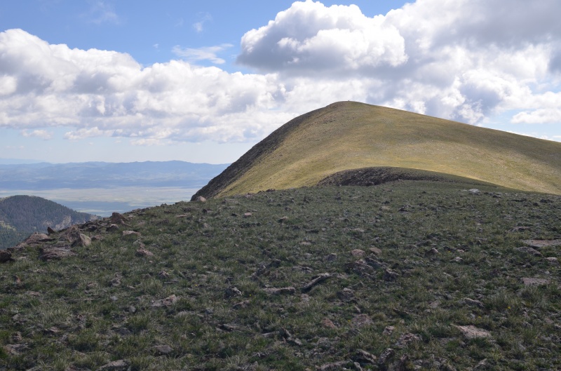
The ridge to UN 12,925 includes gentle tundra
Looking southeast at UN 12,925's lower summit from its true summit
On the summit of UN 12,925, we were surprised to find a CMC register left by the late Roger Linfield in 2010. The register was wet, and we did our best to dry it out.
Mt. Herard from the summit of UN 12,925
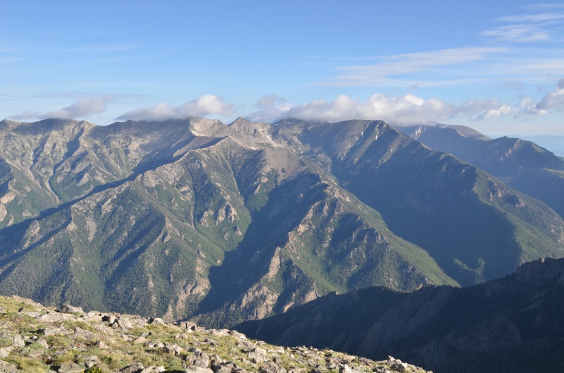
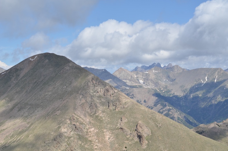
Looking northwest at Medano Peak (left) and the Crestone group (right of center) from the summit of UN 12,925
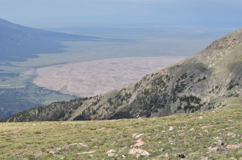
The sand dunes are visible from the summit of UN 12,925
We descended UN 12,925's NE ridge almost to treeline and then bushwhacked left to the Medano Lake trail
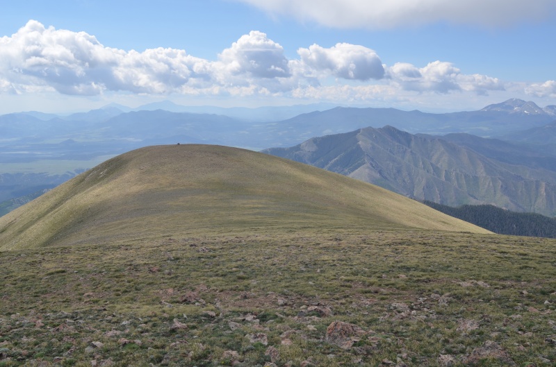
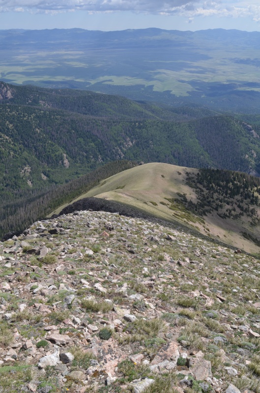
Looking back up the gentle northeast ridge of UN 12,925
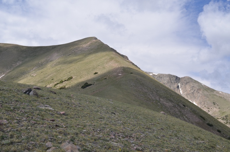
Mt. Herard (left) and Medano Peak from our descent route off UN 12,925's northeast ridge (taken from the same location as previous photo)
About a half mile's worth of bushwhacking through the pine forest...
...brought us back to the Medano Lake trail on the north side of Medano Creek
Despite the forecasted 60% chance of showers and thunderstorms after 11 a.m., light rain didn't begin until we were less than a half hour from the trailhead. Today's scenery was beautiful and represented a silver lining to the black cloud of Randy's Cielo Vista trip being postponed. We very much enjoyed the day.
(Photo credit: all photos by Randy Mack)
Thumbnails for uploaded photos (click to open slideshow):
The road washout is even worse now. About 3 feet deep on one side. But it is an easy extra walk.
Caution: The information contained in this report may not be accurate and should not be the only resource used in preparation for your climb. Failure to have the necessary experience, physical conditioning, supplies or equipment can result in injury or death. 14ers.com and the author(s) of this report provide no warranties, either express or implied, that the information provided is accurate or reliable. By using the information provided, you agree to indemnify and hold harmless 14ers.com and the report author(s) with respect to any claims and demands against them, including any attorney fees and expenses. Please read the 14ers.com Safety and Disclaimer pages for more information.
Please respect private property: 14ers.com supports the rights of private landowners to determine how and by whom their land will be used. In Colorado, it is your responsibility to determine if land is private and to obtain the appropriate permission before entering the property.


")
")
")
")
")
")
")
")
")
")
")
")
")
")
")
")
")
")
")
")
")
")
")
")
")
")
")
")
")
")
")


