| Report Type | Full |
| Peak(s) |
Gladstone Ridge - 13,212 feet Unnamed 13093 - 13,093 feet Unnamed 13332 - 13,332 feet "Mascot Peak" - 13,437 feet Mt. Yale - 14,200 feet |
| Date Posted | 06/12/2021 |
| Date Climbed | 06/10/2021 |
| Author | Mtnman200 |
| Additional Members | RandyMack |
| Total System Failure |
|---|
|
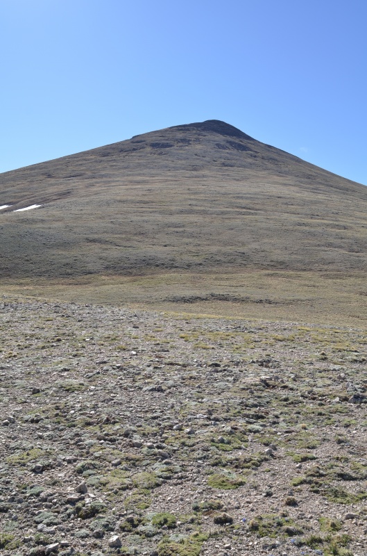
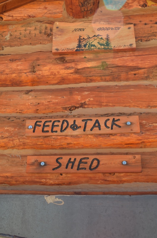
Why is "Total System Failure" the title of this trip report? Randy knows, and you will too if you keep reading. Monday, June 7, 2021. Initially, Randy and I planned a multi-day trip to the far eastern San Juan Mountains. However, we learned from the Forest Service of road closures that would prevent us from reaching the trailheads. We revised our trip plan to focus on peaks near Buena Vista, mostly near the Cottonwood Pass road. First up: Gladstone Ridge (13,209") from South Cottonwood Creek. We drove about 9 miles west of the Cottonwood Pass Road on County Road 344 and set up camp at a nice site on the south side of CR 344. This campsite is conveniently located at a good starting point for Gladstone Ridge. 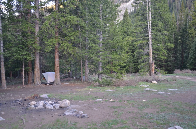
Tuesday, June 8, 2021. We crossed CR 344 and headed slightly east of north through the forest. 
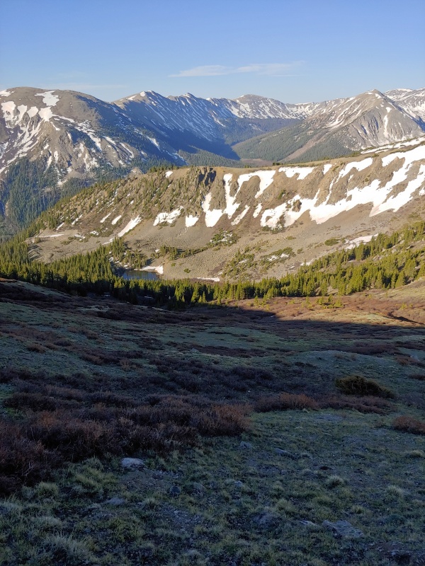
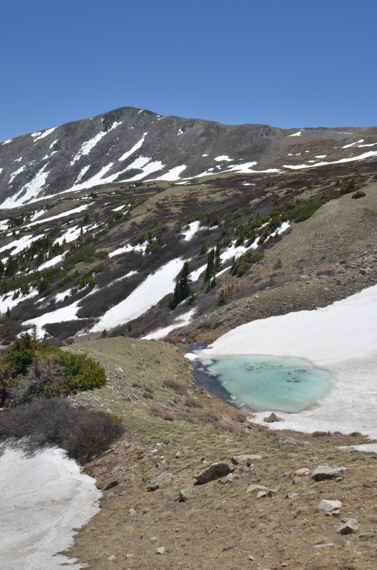
Above the trees, we headed to the saddle between Gladstone Ridge and a 13,038' ridge point. 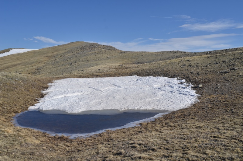
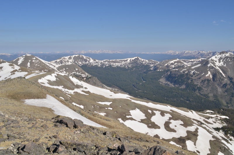
We descended the southeast ridge on easy tundra and then headed southwest to Jonesy Gulch, reaching CR 344 about 1000' east of our campsite. It's a good thing we had books in our car, because we had eight hours to kill before dinner. Wednesday, June 9, 2021. Today's goals: Unnamed (UN) 13078 and UN 13317. Randy and I drove about a mile to the Green Timber Gulch trailhead, grabbed our daypacks, and headed across South Cottonwood Creek on a well-constructed bridge. (This will be important later.) 
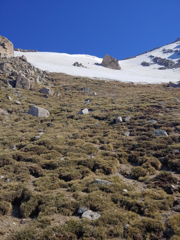
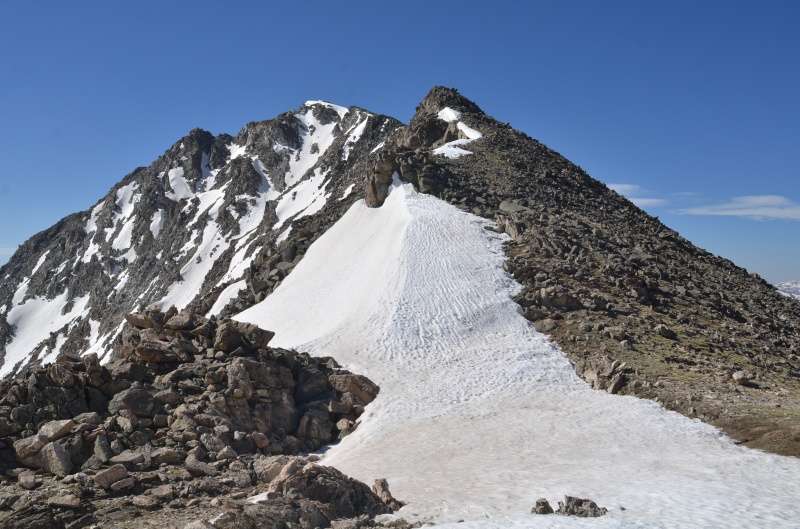
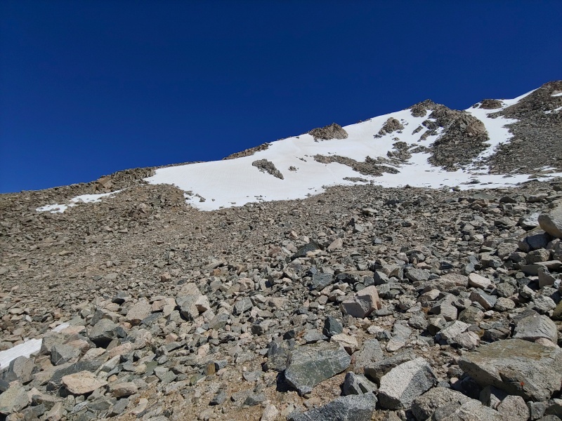
Above timberline, the trail headed toward the saddle west of UN 13078. To avoid some steep snow, we left the trail and climbed southeast to the west ridge of UN 13078. Here, an informal trail headed up the gentle slopes to the summit of UN 13078. 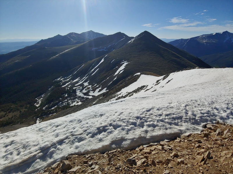
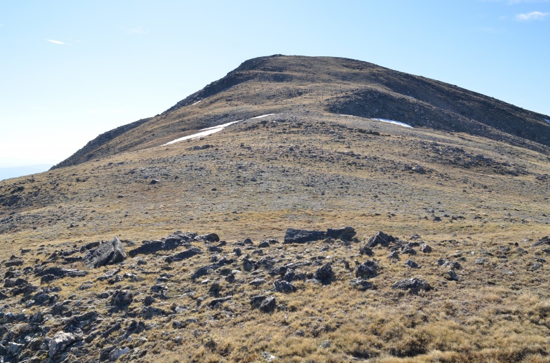
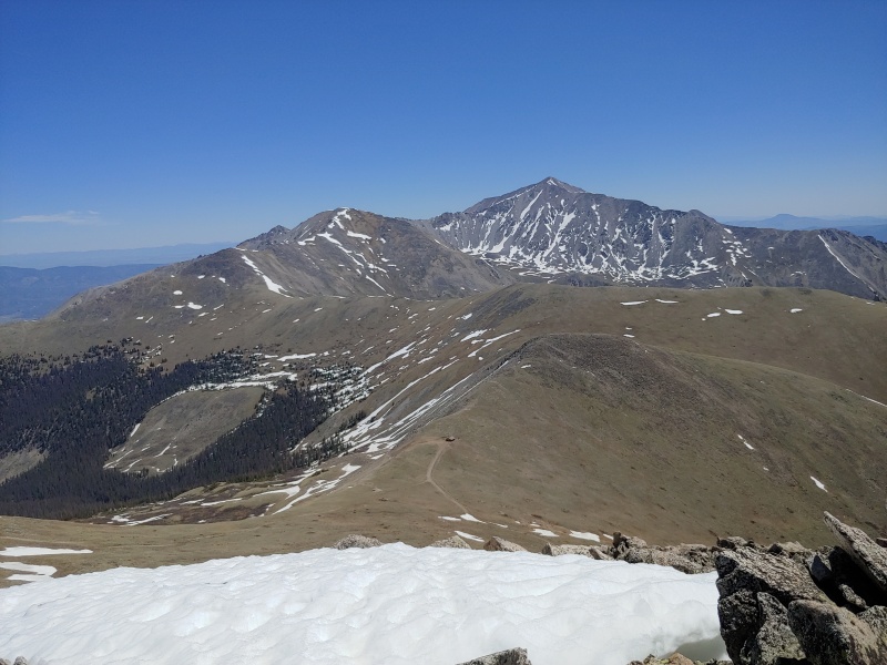
The last signature in the summit register was from Dave (CarpeDM) Mattingly on 12/9/2020. Sarah (Sarah T) Meiser made an ascent on 1/7/2021 but did not sign the register. After enjoying the summit views for a few minutes, we headed east toward the 13,299' ridge bump between UN 13078 and UN 13317. This section of the ridge continued to be an easy stroll. 
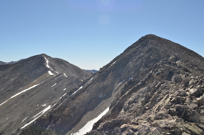
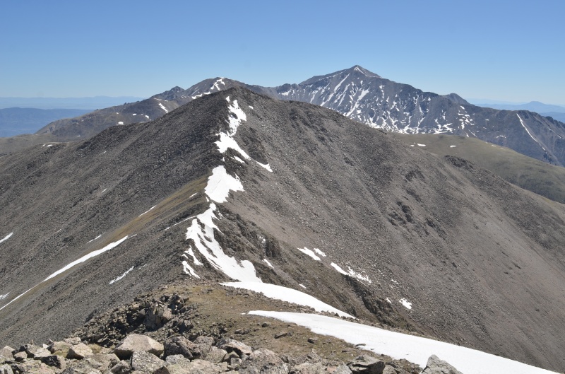
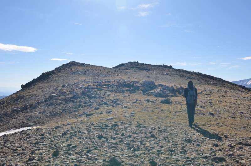
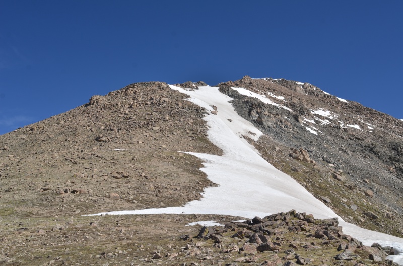
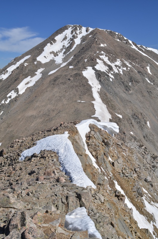
The ridge became a bit rockier the closer we got to UN 13317 and even offered some easy scrambling opportunities. The summit of UN 13317 provided some fine views as well as a summit register. 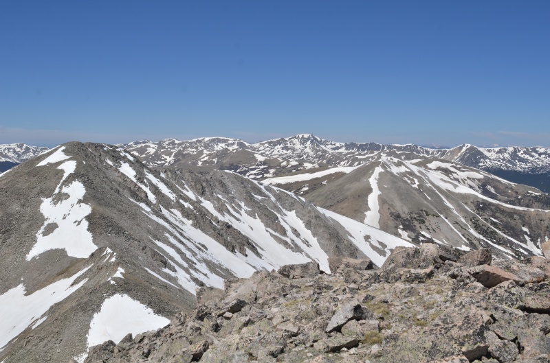
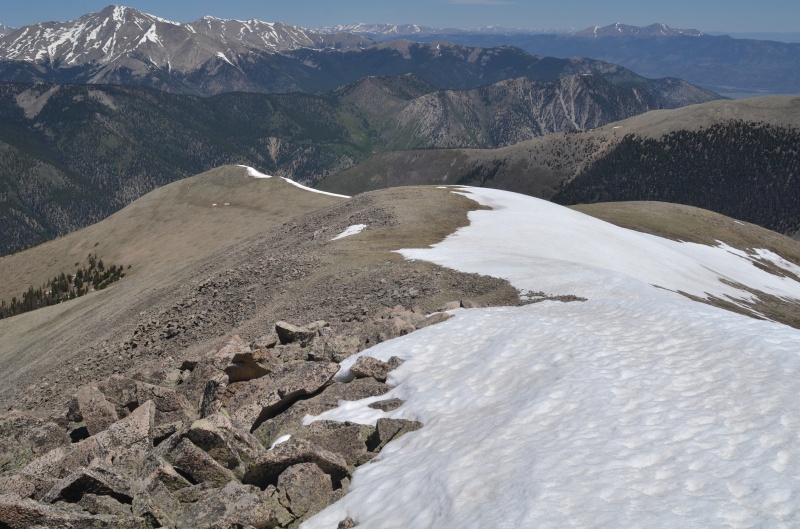
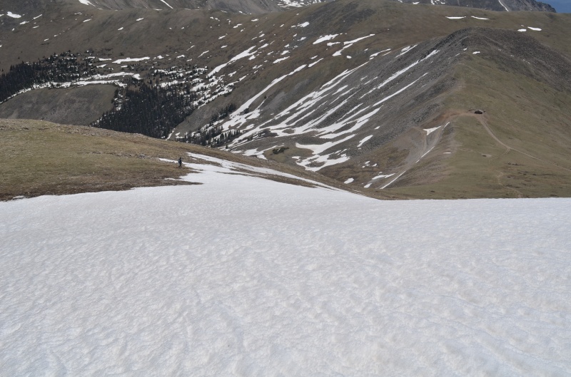

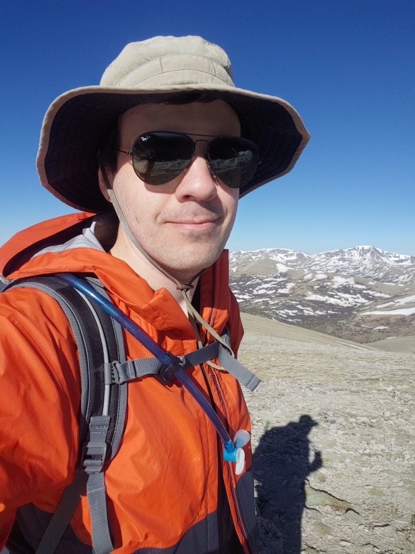
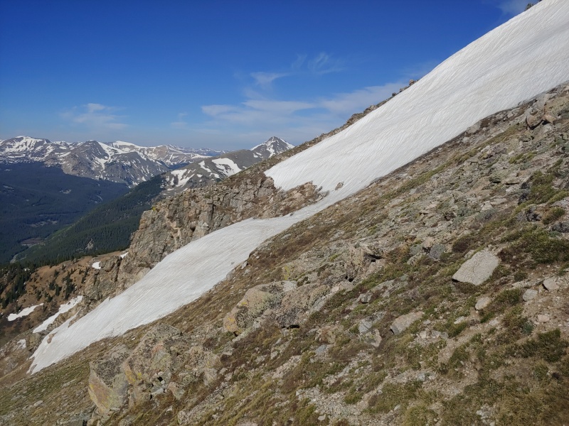
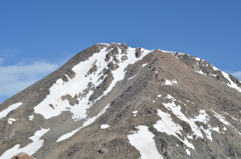
We continued down the road to where it crosses South Cottonwood Creek at 9880', expecting an easy one-mile hike along CR 344 back to our car. Remember this morning's well-constructed bridge near the Green Timber Gulch trailhead? Well, Randy and I looked at the deep, strongly-flowing, and fairly-wide creek and immediately realized we'd failed to consider crossing the creek. Total system failure on our part... We watched a Jeep cross the creek, and the front bumper was fully submerged and water was lapping at the doors. No way could we safely wade across this snowmelt-swollen creek. It took us the better part of an hour to build an adequate bridge out of the only construction material available: flimsy, dead aspen trees. We both agreed that the most tiring part of today's climb was building the bridge. After returning to our campsite, we relocated to another site about a mile west of Cottonwood Lake to cut down on the drive time to the Denny Creek trailhead for tomorrow's planned climb of "Mascot Peak" (13,435'). Thursday, June 10, 2021. After driving to the Denny Creek trailhead, we hiked to about 12,600' on the trail to Mt. Yale . Here, we left the trail and contoured east toward the Mt. Yale - Mascot Peak saddle. 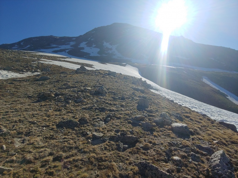
After traversing for about 1/4 mile, I decided to skip Mascot Peak (it would've been a repeat) and meet Randy on the summit of Mt. Yale after he soloed Mascot Peak and Mt. Yale's south ridge. 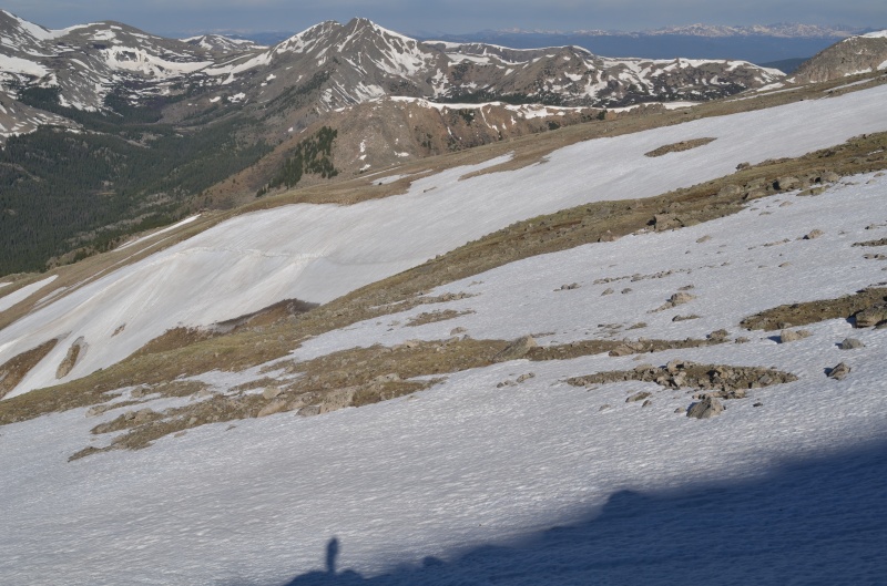
Randy continued on toward the Mascot Peak - Mt. Yale saddle while I headed back to the Mt. Yale trail. 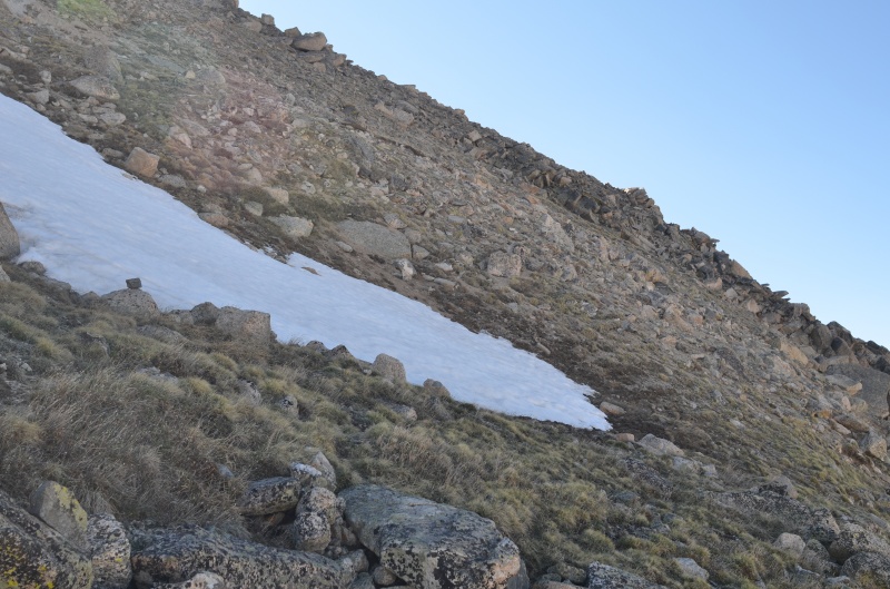
Yale and avoid the snow on the summit ridge. 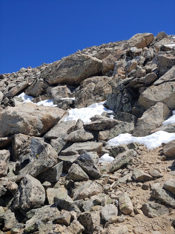

After Randy arrived on Mt. Yale's summit, we took a break for lunch before descending the Mt. Yale trail together. 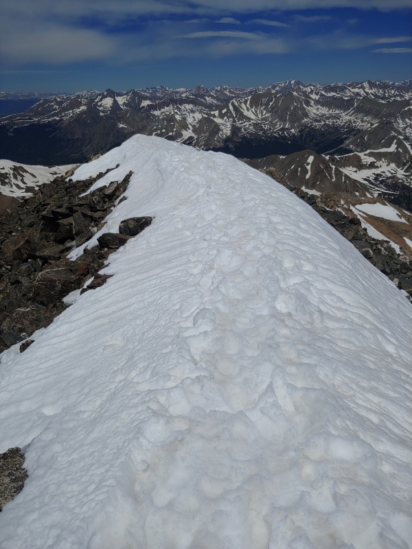
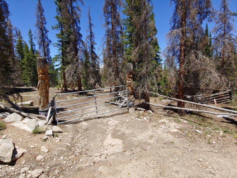
After returning to the Denny Creek trailhead, we drove to the Frenchman Creek trailhead for our next objective, UN 13374. We got as far as a locked gate with a sign stating that the road was closed through June 30th. Okay, time for Plan B: East Buffalo Peak and West Buffalo Peak via Salt Creek Road (Forest Road 435). 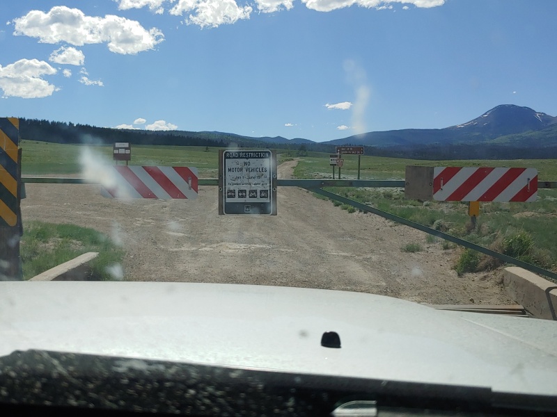
We didn't have a Plan C, so we cut our trip short by one day and headed home. It was still a successful trip, despite multiple planning failures. Next time, we'll check the road status with the Forest Service before leaving home. Thumbnails for uploaded photos (click to open slideshow): ")
")
")
")
")
")
")
")
")
")
")
")
")
")
")
")
")
")
")
")
")
")
")
")
")
")
")
")
")
")
")
")
")
")
")
")
")
")
")
")
|
| Comments or Questions | |||||||||
|---|---|---|---|---|---|---|---|---|---|
|
Caution: The information contained in this report may not be accurate and should not be the only resource used in preparation for your climb. Failure to have the necessary experience, physical conditioning, supplies or equipment can result in injury or death. 14ers.com and the author(s) of this report provide no warranties, either express or implied, that the information provided is accurate or reliable. By using the information provided, you agree to indemnify and hold harmless 14ers.com and the report author(s) with respect to any claims and demands against them, including any attorney fees and expenses. Please read the 14ers.com Safety and Disclaimer pages for more information.
Please respect private property: 14ers.com supports the rights of private landowners to determine how and by whom their land will be used. In Colorado, it is your responsibility to determine if land is private and to obtain the appropriate permission before entering the property.


