Download Agreement, Release, and Acknowledgement of Risk:
You (the person requesting this file download) fully understand mountain climbing ("Activity") involves risks and dangers of serious bodily injury, including permanent disability, paralysis, and death ("Risks") and you fully accept and assume all such risks and all responsibility for losses, costs, and damages you incur as a result of your participation in this Activity.
You acknowledge that information in the file you have chosen to download may not be accurate and may contain errors. You agree to assume all risks when using this information and agree to release and discharge 14ers.com, 14ers Inc. and the author(s) of such information (collectively, the "Released Parties").
You hereby discharge the Released Parties from all damages, actions, claims and liabilities of any nature, specifically including, but not limited to, damages, actions, claims and liabilities arising from or related to the negligence of the Released Parties. You further agree to indemnify, hold harmless and defend 14ers.com, 14ers Inc. and each of the other Released Parties from and against any loss, damage, liability and expense, including costs and attorney fees, incurred by 14ers.com, 14ers Inc. or any of the other Released Parties as a result of you using information provided on the 14ers.com or 14ers Inc. websites.
You have read this agreement, fully understand its terms and intend it to be a complete and unconditional release of all liability to the greatest extent allowed by law and agree that if any portion of this agreement is held to be invalid the balance, notwithstanding, shall continue in full force and effect.
By clicking "OK" you agree to these terms. If you DO NOT agree, click "Cancel"...
Mileage and Elevation Gain: ~14.3 miles and 3600 feet of gain
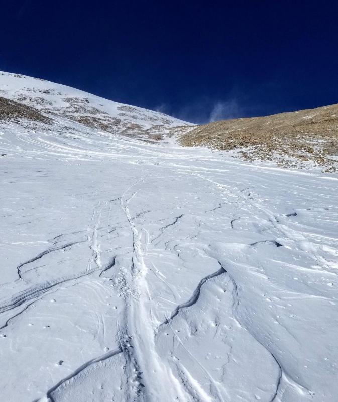
I met up with my climbing partner just below 11,000 feet on county road 18. This was approximately 3 miles below the standard Fourmile Creek trailhead. He had driven about 20 feet beyond the "Don't drive pass here or you'll get stuck" sign and his Rav4 was stuck. He wasn't really being dumb. He had actually driven up this road the night before on a scouting mission and had easily reached the Leavick site further up the road. So, he was confident he could repeat that success just a few hours later and was completely wrong. The weather had warmed up significantly overnight to soften the snow, and fortunately, I was able to pull him out with a climbing rope attached to our bumpers. I preceded to get stuck as well while parking and our day was off to a rough start. After some digging we managed to free up my truck and were finally hiking up the road by 8 in the morning. We had been delayed over an hour but still felt good about the climb.
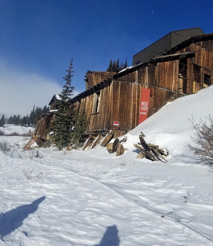
Approaching the Leavick mine
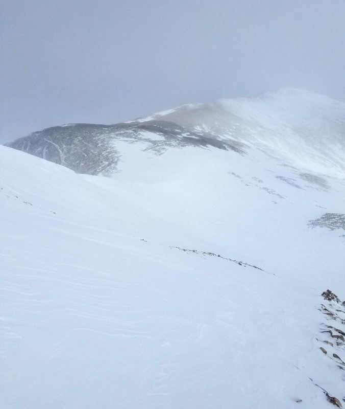
8 am was a very late start for a winter 14er and probably the latest I've ever started any climb. This may have been to our benefit though. The storm from the night before had yet to totally clear out and the skies were now just beginning to open up as we walked pass the Leavick site and started approaching the gate at the summer trailhead. We had made quick time up the mostly snow covered road without snowshoes which were hung over our packs.
The 12,000 foot gate at the summer trailhead.
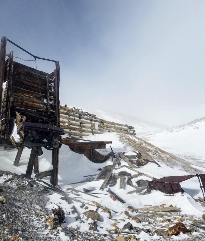
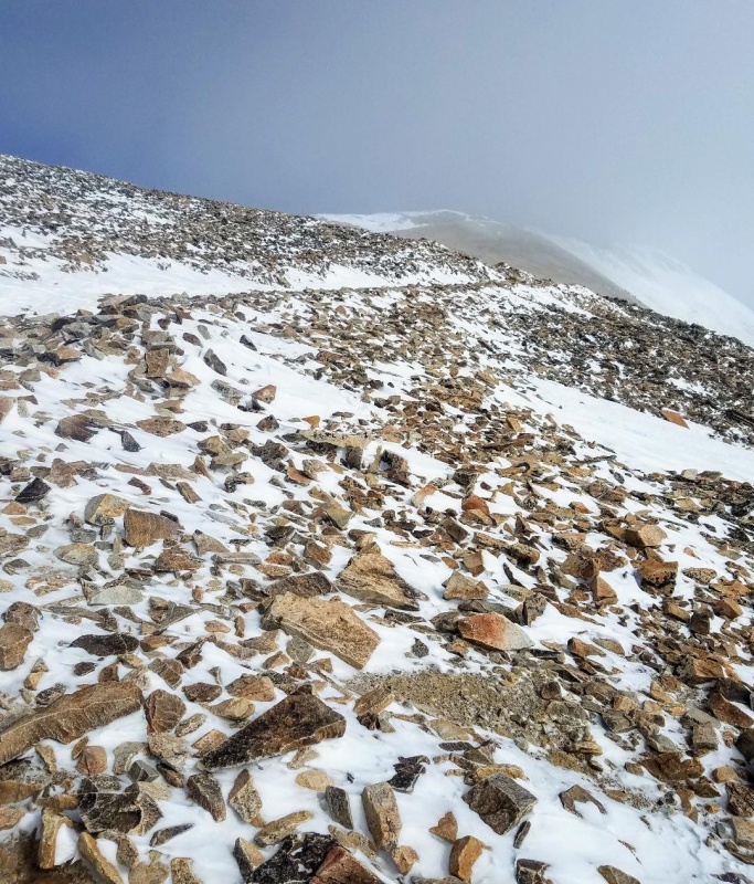
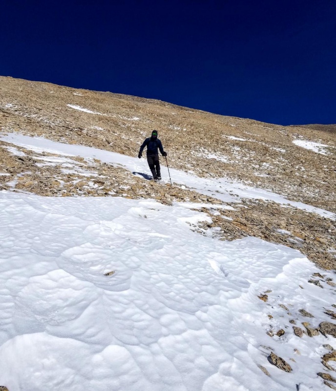
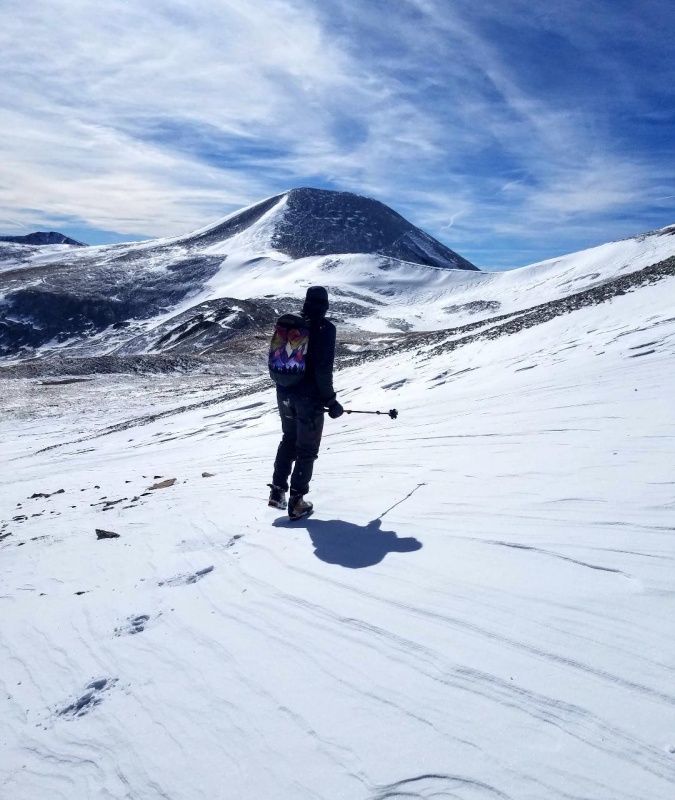
At 12,300 feet I stopped by the Dauntless mine to put on microspikes for better traction. It was clear now that snowshoes would not be needed and we continued up the old mining road towards the SW ridge following the standard route. I had been up here a few months early and had taken the South slopes route so I wanted to try something different. Plus, we wanted to climb Mt. Sheridan on the way. We knew gaining the ridge though could be a little tricky with the current snow conditions, but we were confident in finding a safe way.
Dauntless Mine at 12,300 feet.Cruising up the roadMt Sherman still covered in weather.
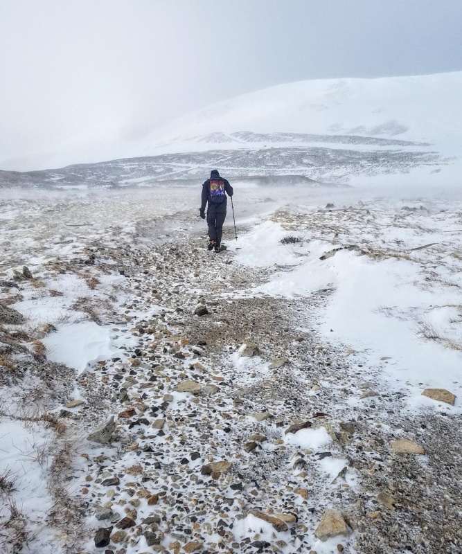
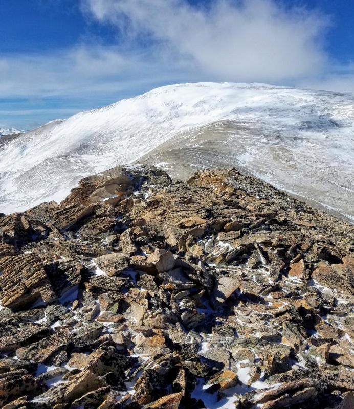
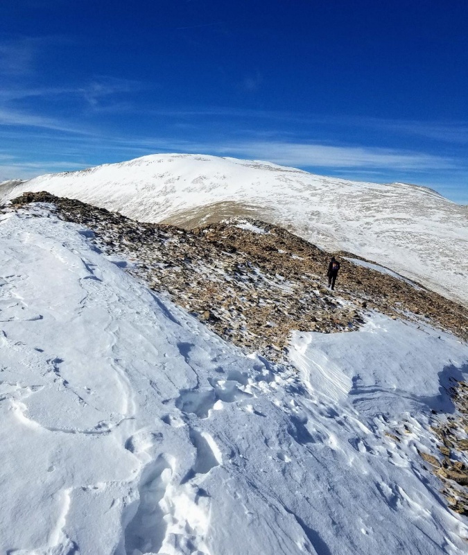
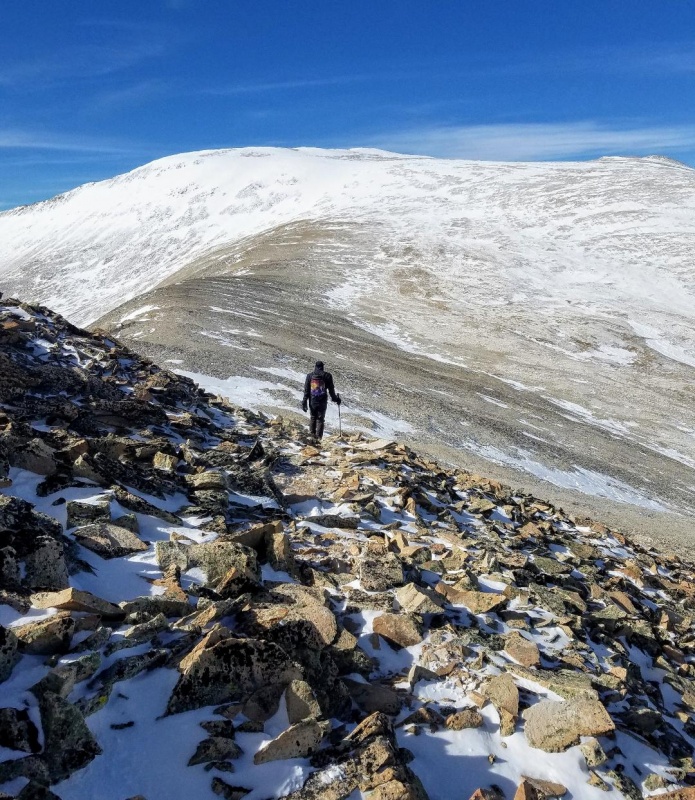
After passing the Hilltop mine we found ourselves at the base of the slope below the Sheridan-Sherman saddle. Sheridan was still completely socked in so we decided to pass on it and head directly to the summit of Mt. Sherman which looked to be clearing. With our late start that was probably a good idea anyways, and just as we feared the slope to gain the saddle did not look too friendly. We spied a rock rib off to the right and decided to shoot for that after first crossing a snow gully that we accessed to be safe (although we did cross one at a time as a precaution).
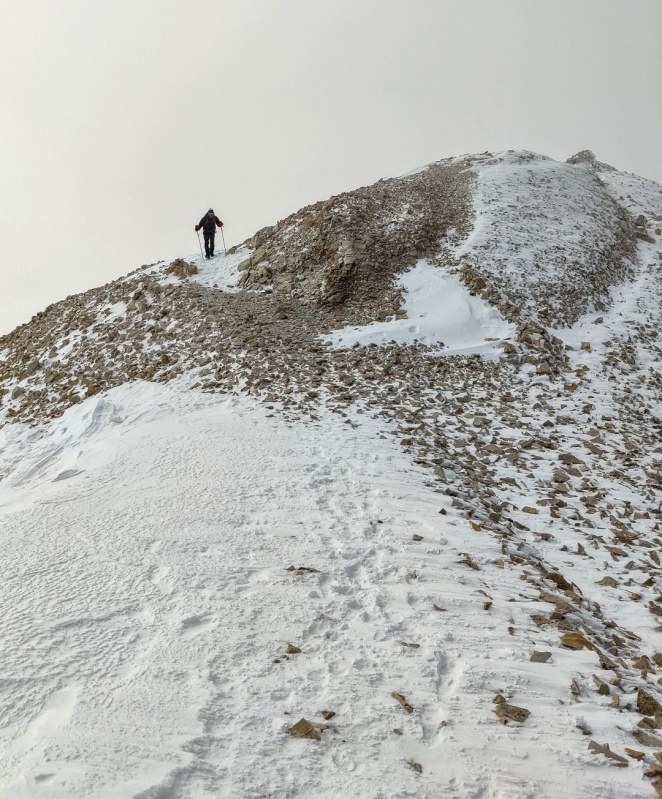
Gaining the SW ridge of Sherman
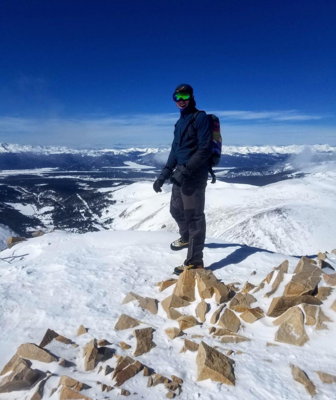
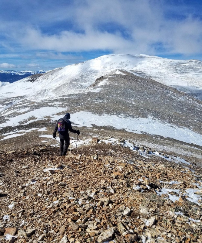
Once safely at the Sherman-Sheridan saddle we could see the rest of the route and it looked pretty windblown. We headed up the ridge at a good pace eager to summit another winter 14er. Snow was not a factor and we were able to follow the well worn trail most of the way to the summit. Luckily, the skies cleared as we climbed the last ridge section giving us incredible views, and we topped out on Sherman in no time.
Ridge to Sherman from saddle.Just before the skies cleared. Sheridan is hidden behind me.The final ridge section.Summit view looking towards Sheridan.Summit buddy
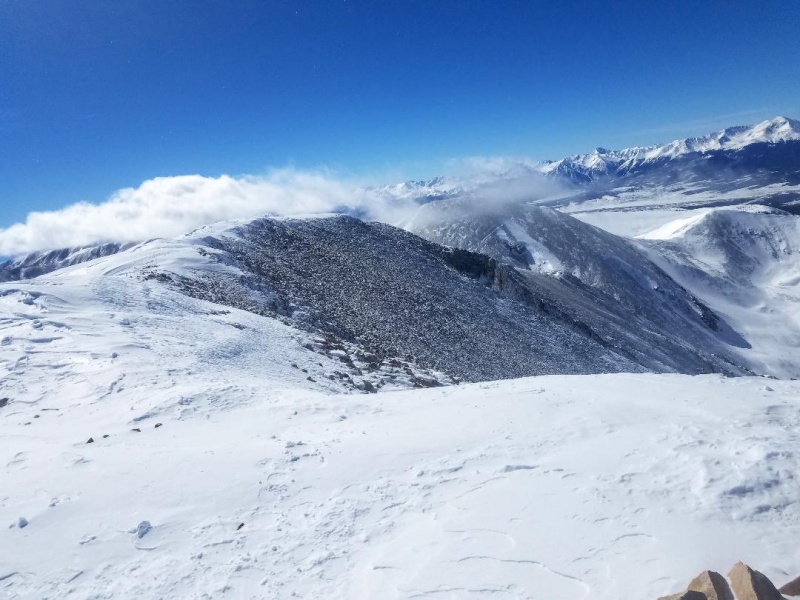
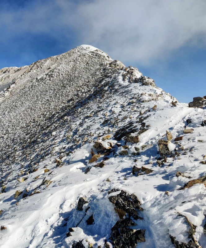
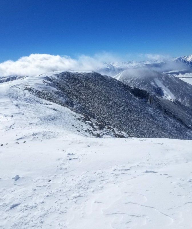
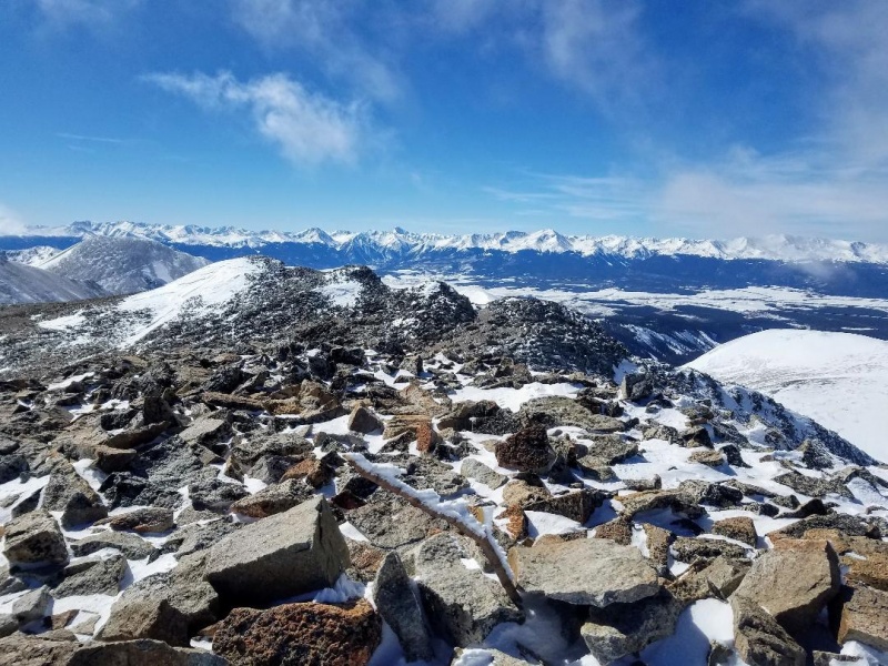
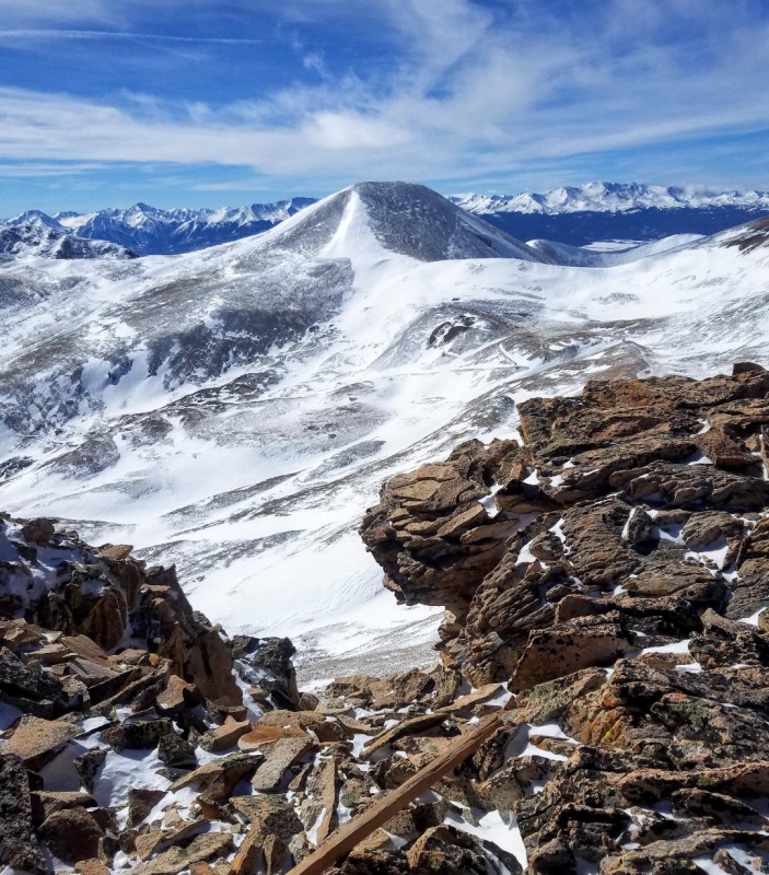
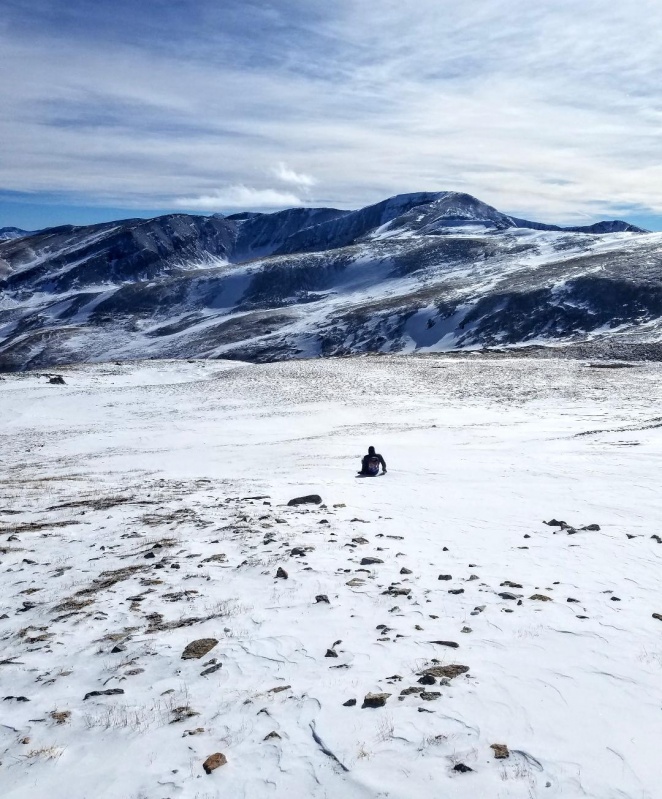
We took a quick break on Sherman in a snow filled rock shelter and then headed north towards Gemini Peak. It was only about 3/4 of a mile away with approximately 200 feet of elevation lost and then another 200 feet gained. The terrain was mostly windblown with the only challenge being a short scramble to the summit. Gemini has 2 summits with the official peak being the northeast one. We pretty much just went straight up it's south face to reach it's small summit. With the skies almost completely clear now we had spectacular views in every direction.
Gemini Peak from Sherman.Looking back at Sherman from a rock shelter on Gemini PeakSawatch Range from GeminiPennsylvania and London Mountain to the north.
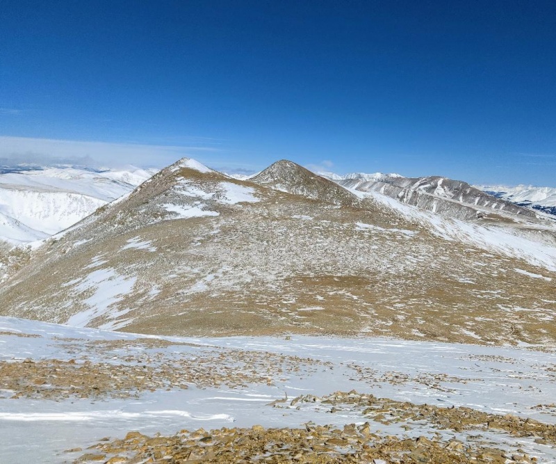
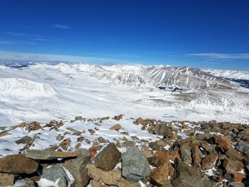
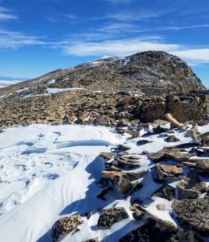
Our stay on Gemini was brief. We still wanted to hit 13er White Ridge, 1.7 miles away, so we scrambled south off the summit block and strolled across a wide, wind swept open space towards the Sherman-White Ridge saddle. At the saddle we followed the gentle ridge southeast towards the White Ridge summit. It was mostly windblown with a climbers trail most of the way.
Heading south towards the Sherman-White Ridge saddle.Sherman looks massive from this angle.SheridanEasy climbing up White Ridge.False summit
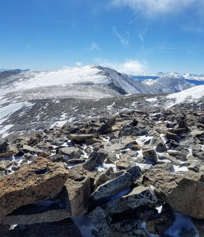
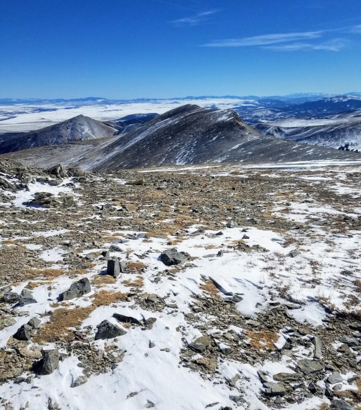
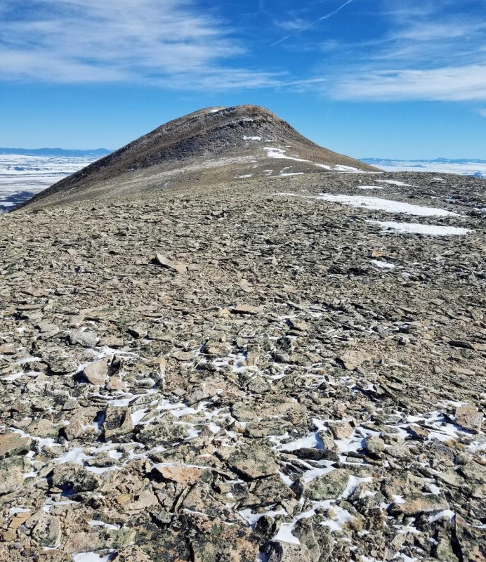
It didn't take long to reach the summit and it was deja vu for me having just been up here a couple months ago in almost identical conditions. We were treated to some awesome views of Sherman which seemed so far away. Sheridan also looked nice and I was regretting not being more patient with the weather and climbing it as well.
Looking back at Sherman from White Ridge summit.
We hit the White Ridge summit and then quickly turned back towards the saddle with Sherman for our descent. We could not have asked for better weather as we hiked down the ridge. White Ridge was a great addition to the day and the unique views of Sherman made it well worth it.
Heading down the ridge towards ShermanAlmost back to the saddle
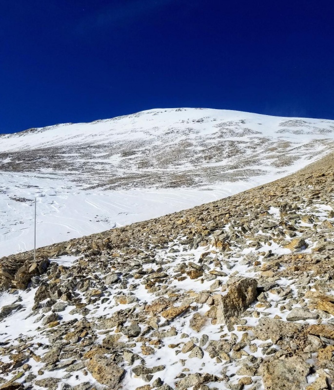
At the saddle, we began our descent by sidehilling to the gully coming off the South Slopes of Sherman. The gully was pretty well filled in, and we took a couple big glissades down this and then beelined back to the gate at 12,000 feet. All that was left now was the 3 mile road walk back to our cars to end another great day!
Descending from saddle.Almost to Shermans South Slopes.Nice long glissade down this gully.Mt. SheridanMore glissading.
Thumbnails for uploaded photos (click to open slideshow):
greenonion - tic tac toe? I had to ask someone what you meant by that lol.
Will E - Leo said the same thing. Too cold though. My cell battery died going up the ridge. That was the only time all winter that happened.
Caution: The information contained in this report may not be accurate and should not be the only resource used in preparation for your climb. Failure to have the necessary experience, physical conditioning, supplies or equipment can result in injury or death. 14ers.com and the author(s) of this report provide no warranties, either express or implied, that the information provided is accurate or reliable. By using the information provided, you agree to indemnify and hold harmless 14ers.com and the report author(s) with respect to any claims and demands against them, including any attorney fees and expenses. Please read the 14ers.com Safety and Disclaimer pages for more information.
Please respect private property: 14ers.com supports the rights of private landowners to determine how and by whom their land will be used. In Colorado, it is your responsibility to determine if land is private and to obtain the appropriate permission before entering the property.


")
")
")
")
")
")
")
")
")
")
")
")
")
")
")
")
")
")
")
")
")
")
")
")
")
")
")
")
")
")
")
")


