| Report Type | Full |
| Peak(s) |
Mt. Yale - 14,200 feet |
| Date Posted | 08/14/2020 |
| Date Climbed | 07/21/2020 |
| Author | rob runkle |
| First of the Sawatch for the kids |
|---|
|
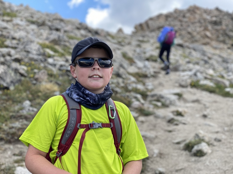
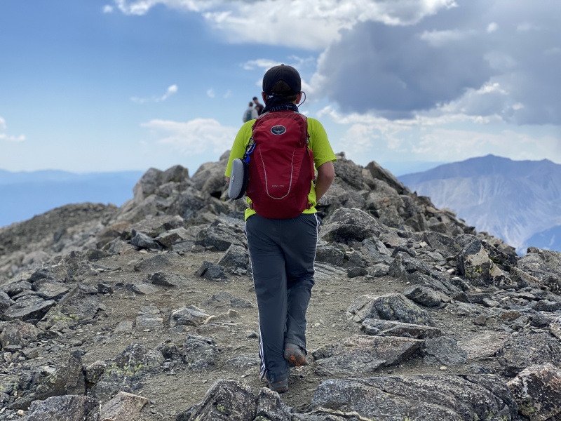
After a tough Day 1 on Fletcher, we took a break day on Monday, and went to the Princeton Hot Springs. We setup base camp at a camp ground in Buena Vista. So, I was looking at Sawatch options for Tuesday. I really wanted to tackle something shorter in distance (Princeton, Huron, Antero), but we didn't have a 4WD, high clearance vehicle, for this trip, in order to get up to the 4WD trailhead. So, because we were so close to the trailhead, I decided that we would attempt Mount Yale. Yale would be the kids longest mountain by far in terms of overall elevation gain, and distance. This would be the first time the kids had gained 4000 feet+. But, I felt that they had the legs and lungs for it. I also knew that the trail up Yale (like most 14ers) would be easier to hike, and easier to follow, compared to Fletcher. We left the campground around 5:15 am and arrived at the trail head, and started hiking around 5:45 am. The lower section was easy. It started out steep initially, but then flattened out for a few miles. Unlike Fletcher, this trail started well below treeline. The kids did great on the lower trail. The best thing is that they were eating plenty of food, and drinking plenty of water. From past hikes, I knew that my best bet for keeping them moving strong is keeping them fed. Along the trail, we noticed some 1 inch holes in some of the big rocks. I told the kids that those were probably from where holes were drilled to place explosives to blow up the rocks when they were bigger and in the way of the trail. That was the best story that I could think of. 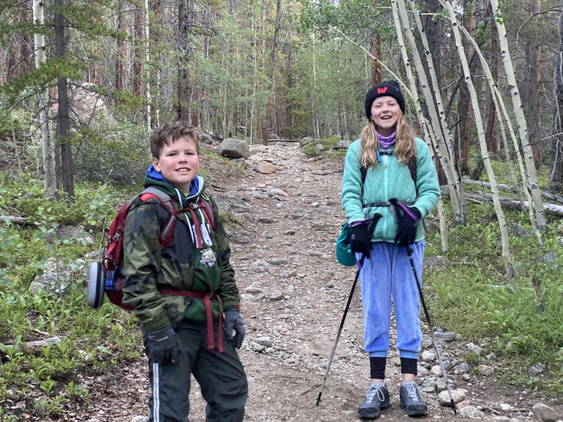
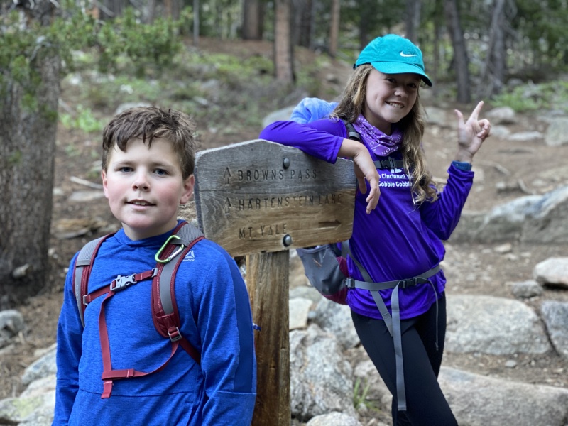
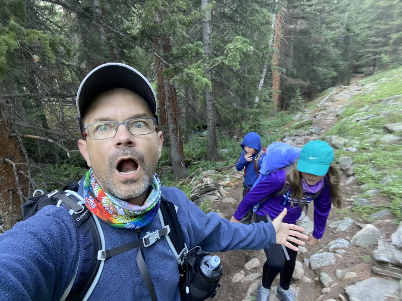
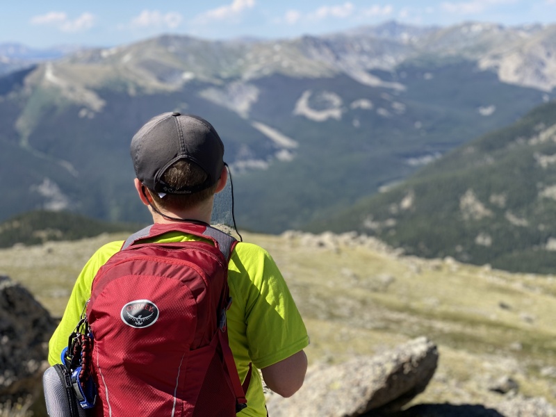
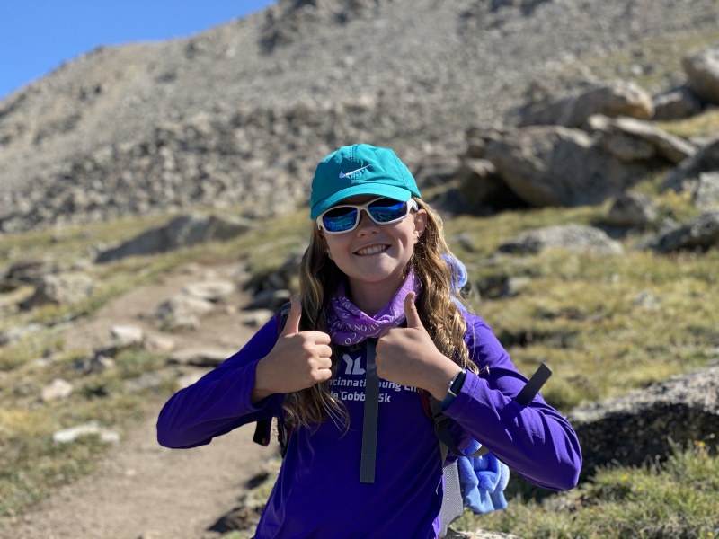
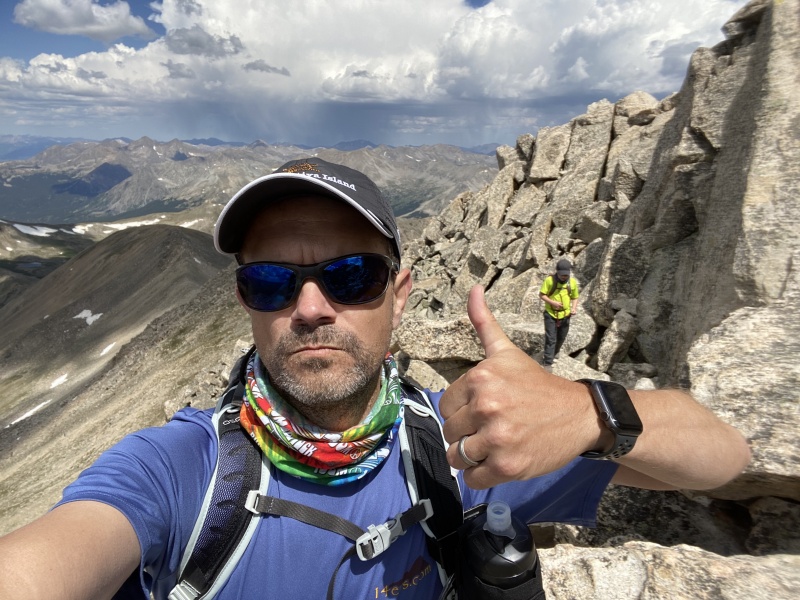
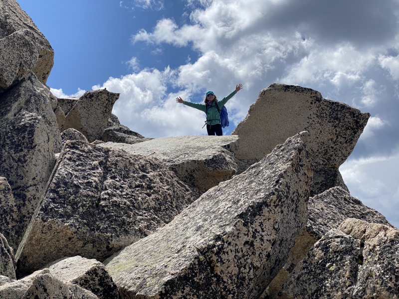
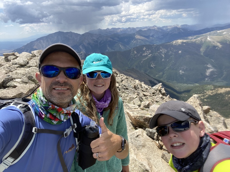
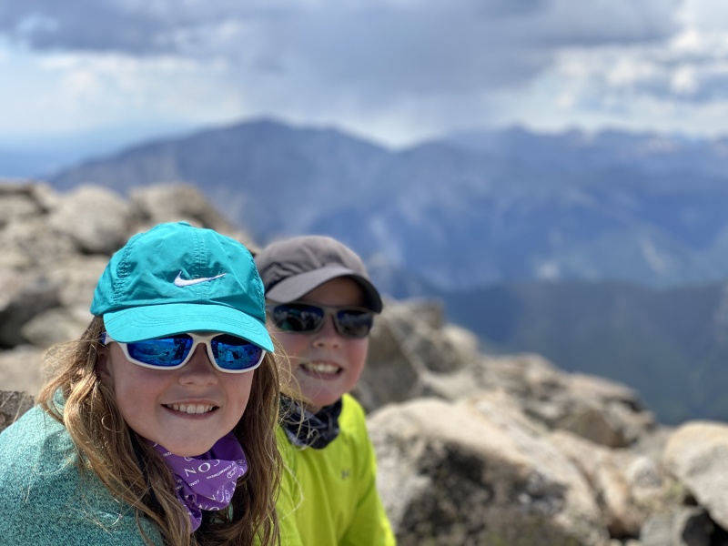
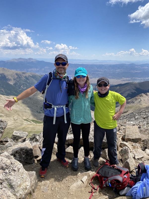
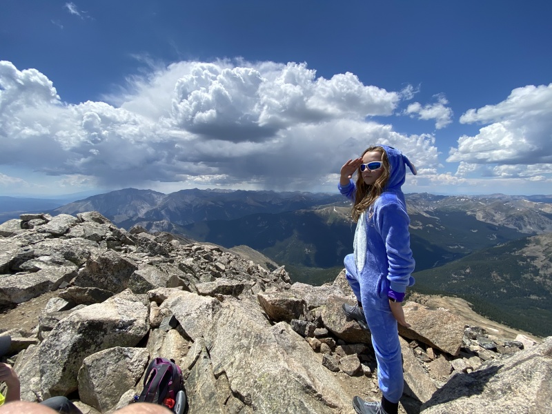
When we got above treeline, things seemed to slow down. At that point, we could see the summit in the distance and that made it seem so far away. There were some moderately steep sections, as we got closer to the bottom of the ridge, but nothing too crazy. The steepest section was the climb up to the ridge, but we were mentally prepared for that, since people had warned us it was coming. Even though that section was steep, we made great progress up to the ridge. Once we got on the ridge, we took a very short break. I estimate that we were still 20-30 minutes from the top, and the skies were looking a bit mean. We started up the ridge, and stayed mostly to the right on the ridge. The ridge was a very mild scramble, but overall pretty easy. We made the summit in just over 6 hours. The kids were strong the whole way, and they were definitely feeling better than they were on Fletcher. We stayed 30 minutes on top, then started back down. 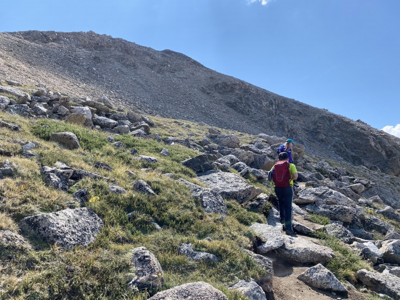
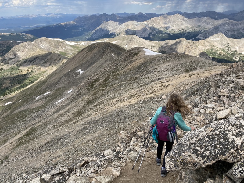
We scampered down the ridge pretty quick; probably half the time it took us to go up the ridge. Once we got off the ridge, we were back on solid trail. We made great progress off the ridge, and back down to treeline. I should mention at this point, that we did get Anna new shoes on Monday, and her new shoes were working out great. Anna said that her feet were feeling great. The rain never did hit us hard. I think we had a few mild sprinkles as we got below treeline, but nothing notable. We cruised below treeline, and ultimately made it back to the trail head in about 3 hours from leaving the summit. Round trip was 9 hours 20 minutes. In previous years, the kids have struggled to achieve anything near a 1 mile per hour overall pace. This route was 9.5 miles per the guidebook and 10.25 mi per our GPS. Either way, the kids had achieved sub-1 mile per hour pace overall. And, they had killed the pace on the descent. They earned another break day, and TBD on what we would tackle next. Back to the Buena Vista Camp ground... 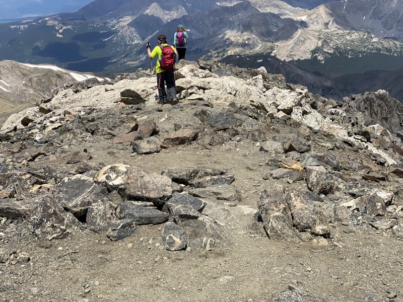

Thumbnails for uploaded photos (click to open slideshow): ")
")
")
")
")
")
")
")
")
")
")
")
")
")
")
")
")
")
")
|
| Comments or Questions | |||
|---|---|---|---|
|
Caution: The information contained in this report may not be accurate and should not be the only resource used in preparation for your climb. Failure to have the necessary experience, physical conditioning, supplies or equipment can result in injury or death. 14ers.com and the author(s) of this report provide no warranties, either express or implied, that the information provided is accurate or reliable. By using the information provided, you agree to indemnify and hold harmless 14ers.com and the report author(s) with respect to any claims and demands against them, including any attorney fees and expenses. Please read the 14ers.com Safety and Disclaimer pages for more information.
Please respect private property: 14ers.com supports the rights of private landowners to determine how and by whom their land will be used. In Colorado, it is your responsibility to determine if land is private and to obtain the appropriate permission before entering the property.

