| Report Type | Full |
| Peak(s) |
Dyer Mountain - 13,861 feet Gemini Peak - 13,961 feet White Ridge - 13,698 feet Mt. Sherman - 14,043 feet Mt. Sheridan - 13,757 feet |
| Date Posted | 07/12/2020 |
| Date Climbed | 07/11/2020 |
| Author | daway8 |
| Dyer to Sheridan via White Ridge |
|---|
|
I'd been pondering this loop for a while and was determined to come back for Dyer since backing out on doing the Dyer-Gemini ridge this past winter. With a rare rain-free Saturday in the forecast I finally made it happen. This is basically a modified version of the Sherman Grand Slam of which I have seen a couple people post differing versions of. I'll highlight a few key points of interest for this variation and touch on the main points along the route. Route: Iowa Gulch - Dyer (Southeast Slopes) - Gemini (both twins) - White Ridge - Sherman - Sheridan - Iowa Gulch (via Sherman West Slopes route) Total distance: 9.7mi Total elevation gain: 4,217ft (according to GPX tracks - didn't verify) Included in this report will be:
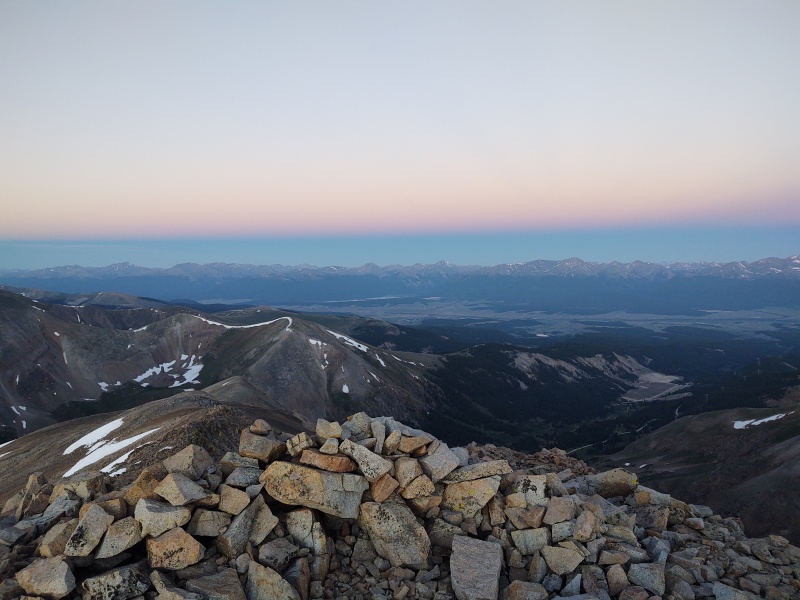
Intro/Overview So after some brief excitement the night before (see my SOS post in the forum) I finally got some sleep and went ahead and started the trek at a quarter till 4 in the morning, just in case the weather forecast turned out to be wrong. 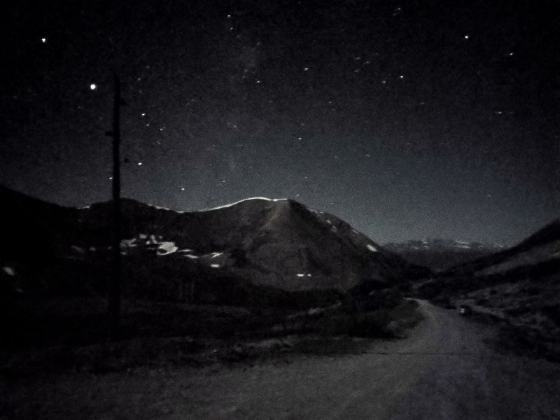
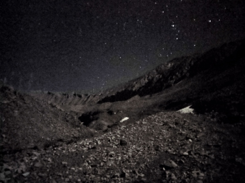
There was a half moon that was bright enough that I left my headlamp off most of the time. 
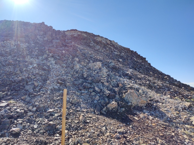
Much of the route up Dyer (Southeast Slopes) follows an old mining road (lots of those in the Iowa Gulch). Upon leaving the road you'll find yourself more or less following the S shape curve of the GPX tracks if you simply stick to where the slopes are the least steep. It's over 1,700 ft of gain in less than a mile and half so it's a decent incline to get you warmed up but it's by far the largest single elevation gain of this entire route so once you're up you just have to deal with the all day roller coaster. 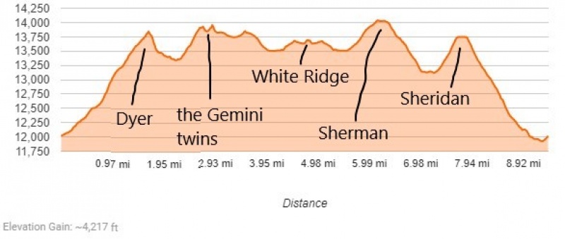
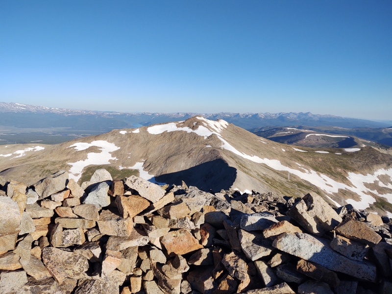
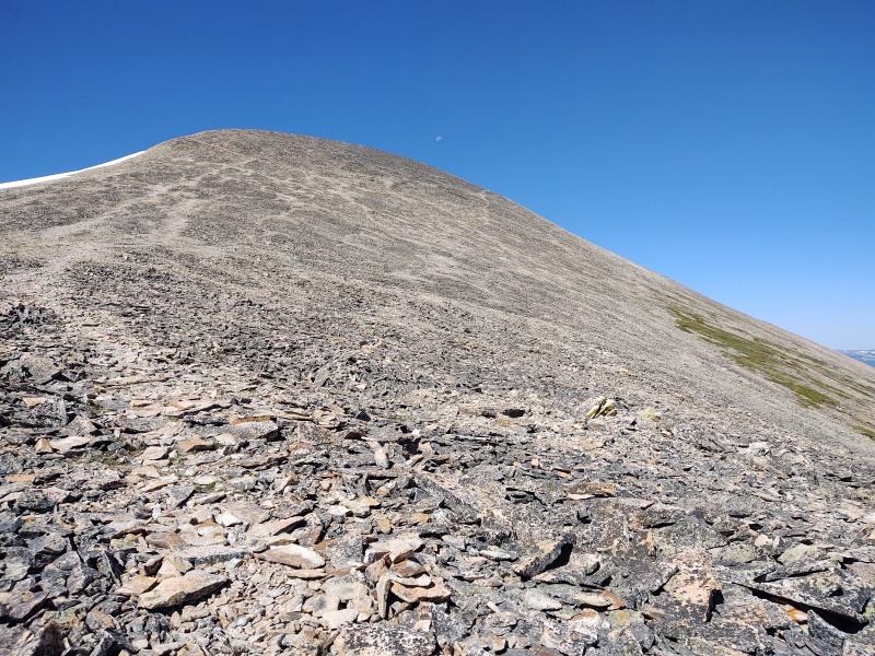
Dyer The bulk of the way up Dyer is just a glorified hill but it takes on a little more character near the top. 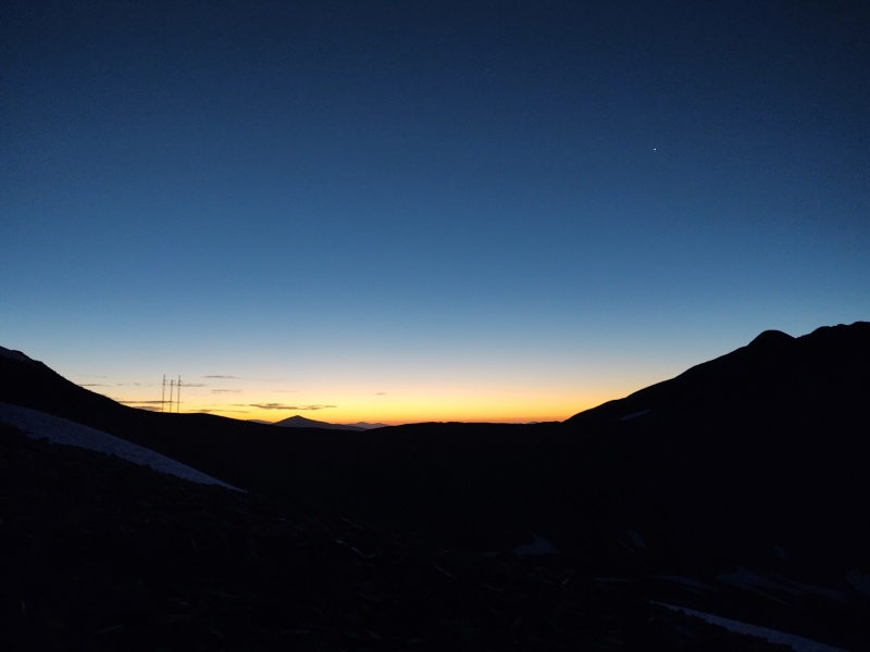
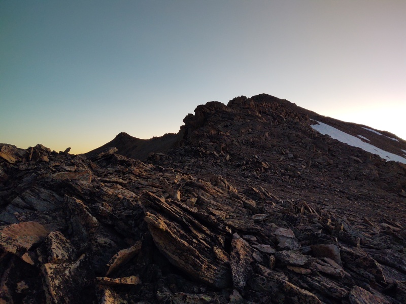

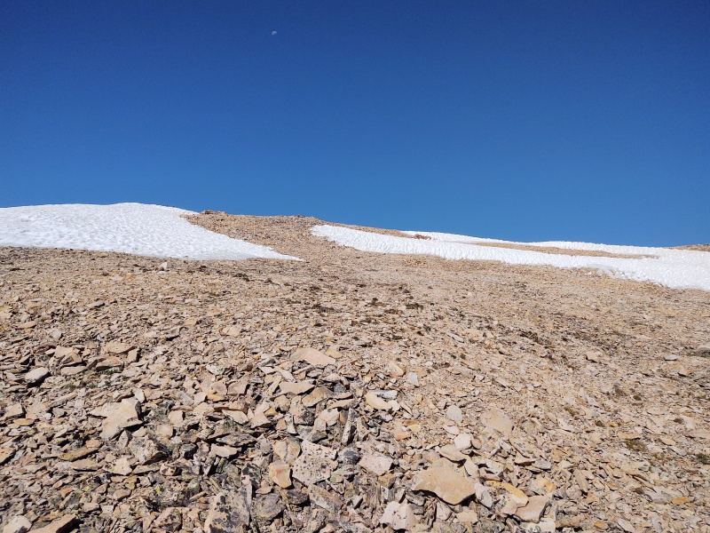
The down climb to the ridge still had a small snowfield partly blocking it but it was trivial to go over or could have been circled around with a little extra work. 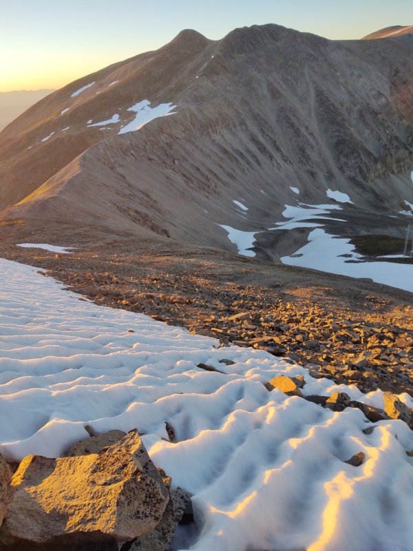
Dyer-Gemini Ridge I had trouble finding much detail about this ridge when I had researched it earlier - that's one of the reasons I backed out this winter after reaching Gemini and seeing the snow come to a perfect peak atop the ridge with huge, steep snow slopes on either side. But now I can say this is a trivial class 2 ridge and although it does become somewhat narrow in the thinnest points closest to Gemini, it's never remotely like a knife edge, well unless you come in winter... (I might be a little more willing to try this ridge next winter now that I've seen how trivial it is when dry but I might still be a little uneasy if the snow had turned it into a Knife Edge again). 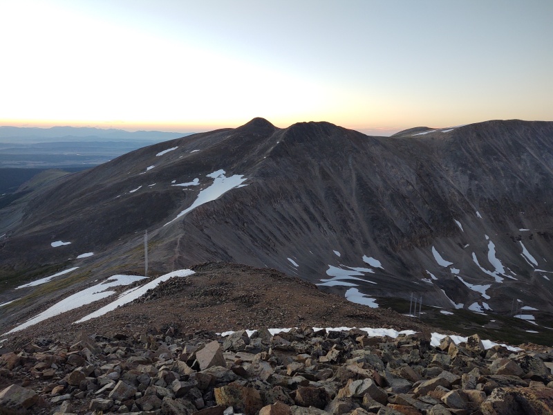
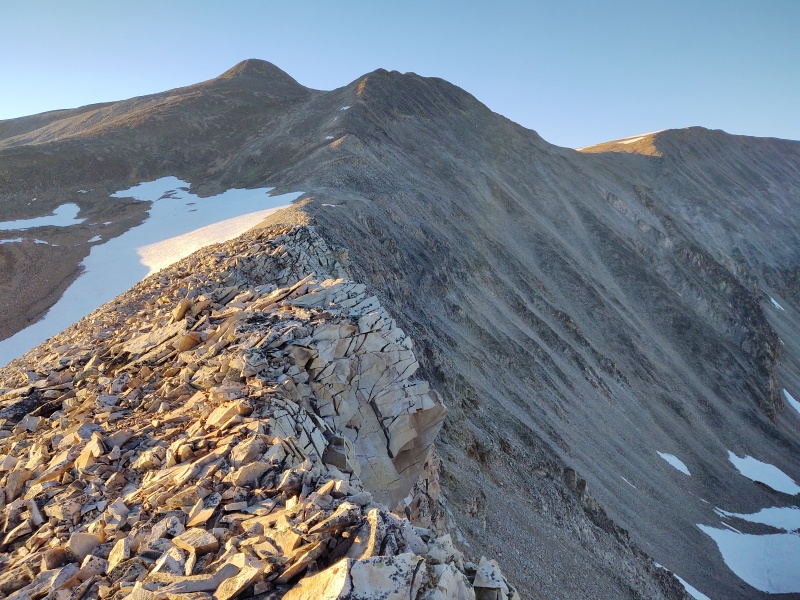
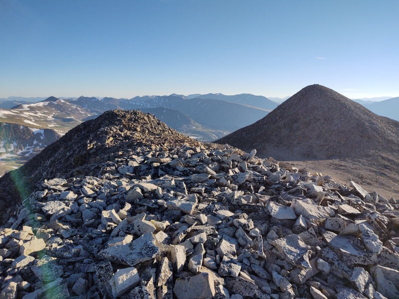
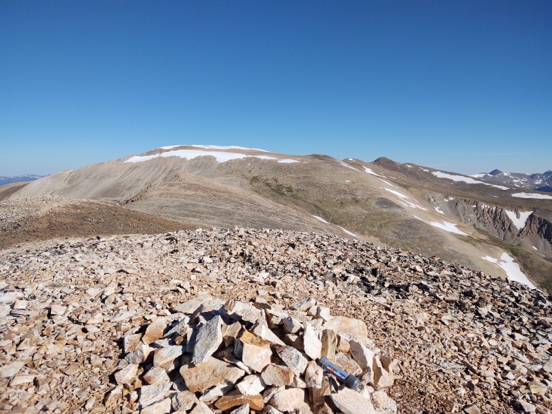
Gemini On my first visit to the region I mostly ignored the younger brother so this time I made sure to go up both the twins. Only the eastern, bigger brother is listed on the map but when you consider the name Gemini and see them from the right angle (or even look on the elevation profile) you'll see there are two humps here - though the western twin is more like a series of little humps (I wasn't 100% positive which was the high point so I just hiked over them all). 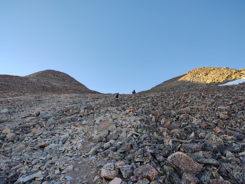
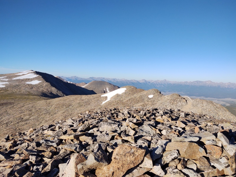
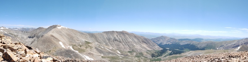
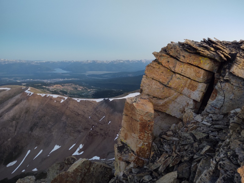
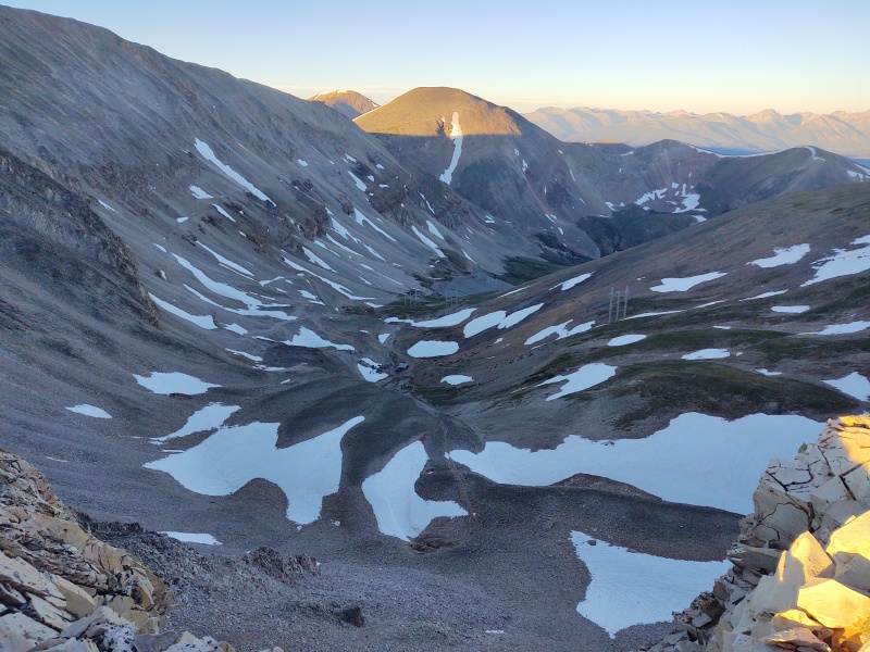
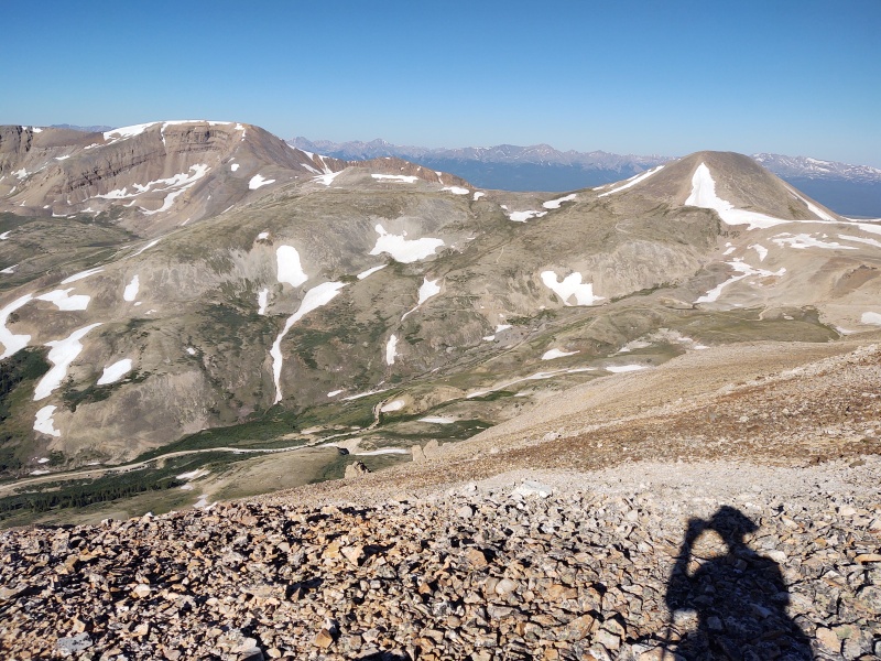
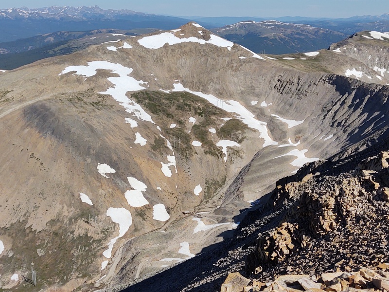
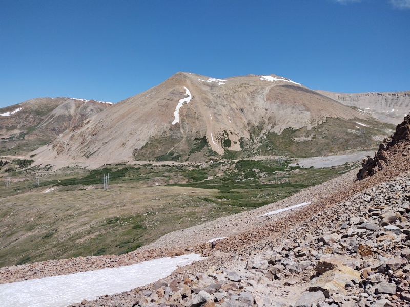
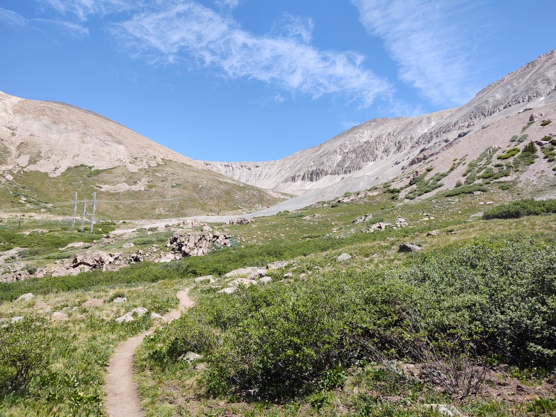
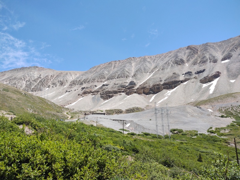
White Ridge Much of this entire region is just barren rocks but there are a few patches of green on the long trek over to White Ridge. There were a few tiny frozen streams glistening in the morning sun from yesterday's snow melt that had frozen overnight. As others have observed, the trek over to White Ridge is long - very long! There are at least a couple false summits, the first of which is a very long ways from the real one. This is roughly a 2.5mi detour round trip for an unranked 13er - but the real beauty of this summit: being able to look down from a place of utter solitude upon the mass of cars at the Fourmile Creek trailhead! 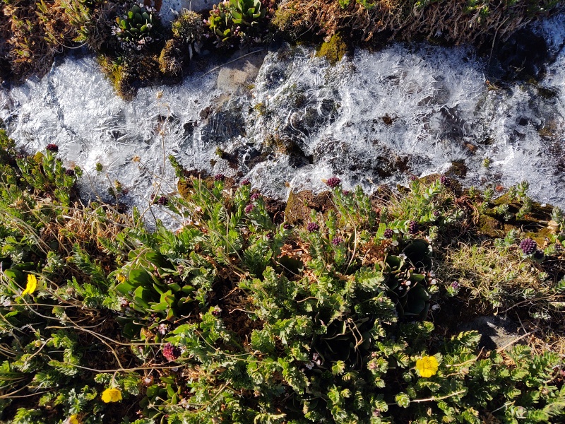
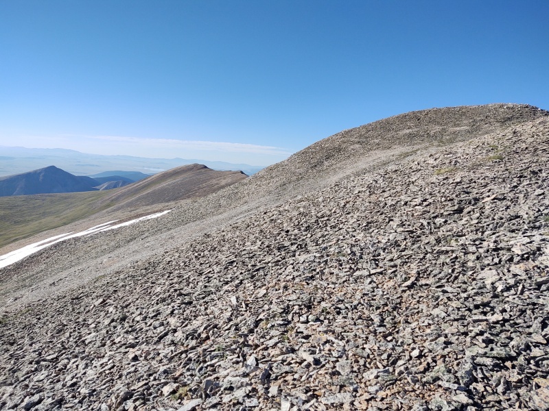
By the time you've walked the 1.25mi or so over to White Ridge you can't even really noticed the sea of humanity over on Sherman. 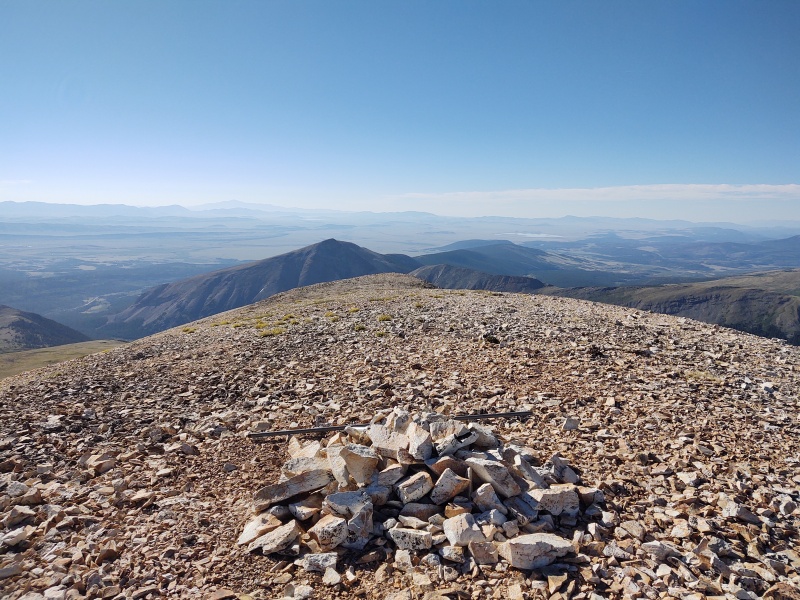
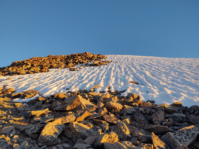
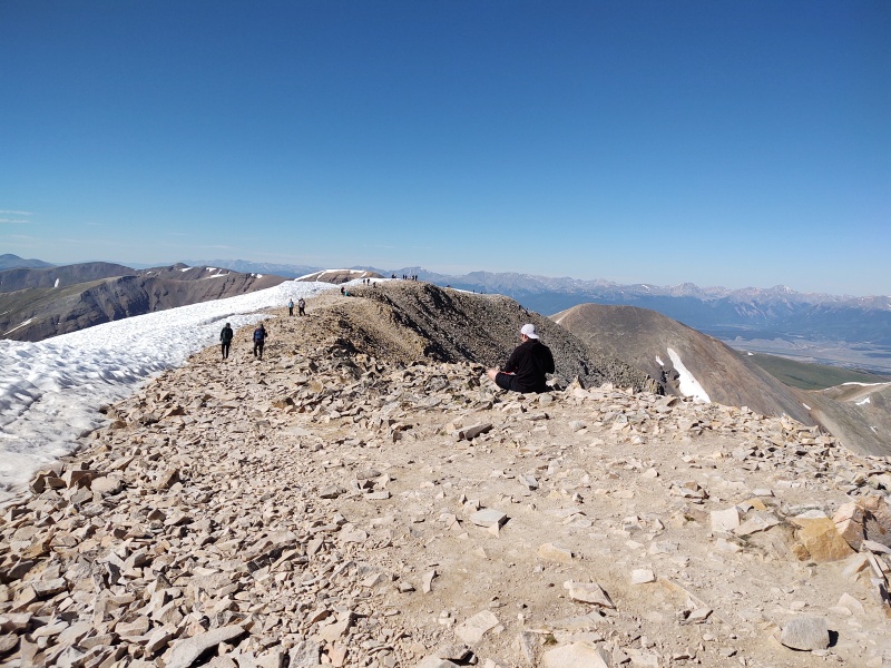
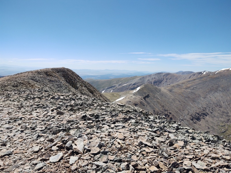
But after soaking in the solitude you have to pay the price by hoofing it back another 1.25mi to Sherman. I disagree with others who say there are no bailout options from the ridge (I'm coming to see more and more how there are often all sorts of options in places where at first glance there appears to be none) but by far your easiest option (especially if coming from Iowa Gulch) is to simply return via Sherman (or Dyer if going the other direction). There were a fair number of snow fields left on this side but they were easy to skirt through, using the smaller snow splotches as visual guideposts to line up with the openings in the snowfields. 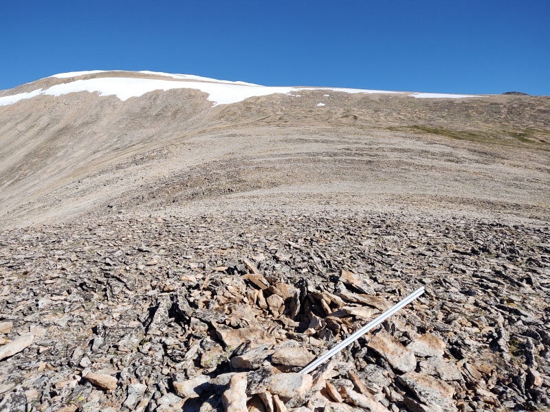
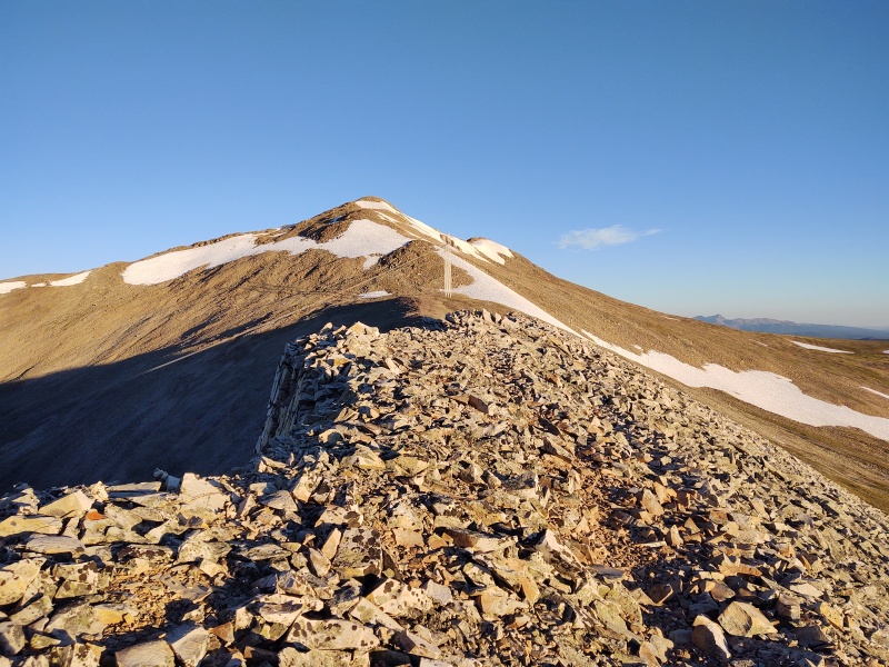
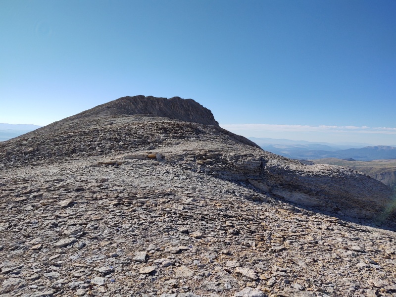
Sherman Ahh Sherman - that much loved and much maligned peak. Much loved because it's so easy (for a 14er) but at times much maligned because that easiness attracts the masses. After seeing not a single soul on the whole way to and from White Ridge the contrast upon summitting Sherman was somewhat jarring. I'll happily chat with a hiker or two I meet along the way but when I find myself in the middle of a crowd on a 14er it just kind of doesn't seem right somehow. 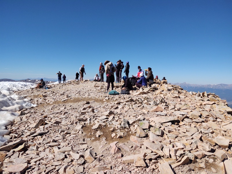
Sheridan After escaping the sea of humanity going up and down Sherman I went over to Sheridan and only saw a few other people the entire time going up and down it. 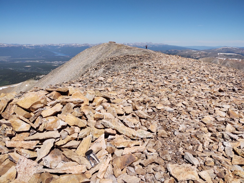
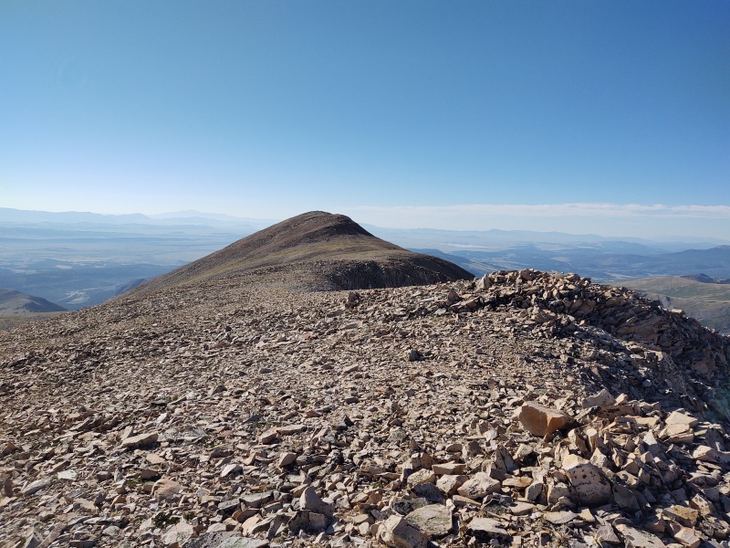
The Trio Beyond From the top of Sheridan I looked over to the next three 13ers that I was contemplating tacking on to an already long day: Peerless, Horseshoe Mountain and Finnback Knob. Peerless looked easy enough to do. Horseshoe looked like a bit more work but a fairly gentle, easy slope and Finnback Knob from this view looks like it might have a neat little ridge going out to it. The weather was holding perfectly and I still had adequate food/liquids but after debating a while I finally decided I'd likely be too tired to enjoy those peaks if I crammed them in and since they're in such a nice, neat little package together I decided to save that trio for some future day. 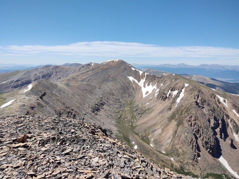
The Return The return route is just a very straightforward drop to the West Slopes trail from Iowa Gulch. You can shortcut a little distance by cutting down sooner but the rock has just enough slight instability that you might get down just as fast by sticking to the trail along the ridgeline. 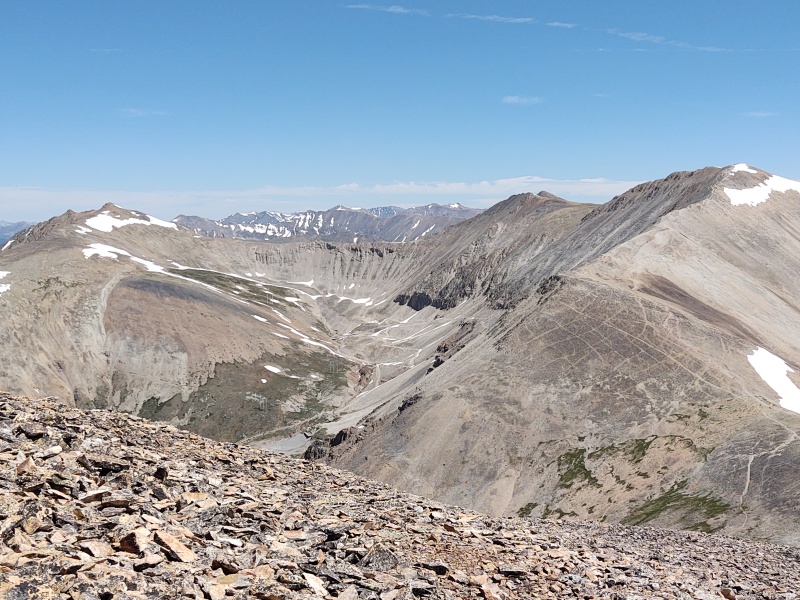
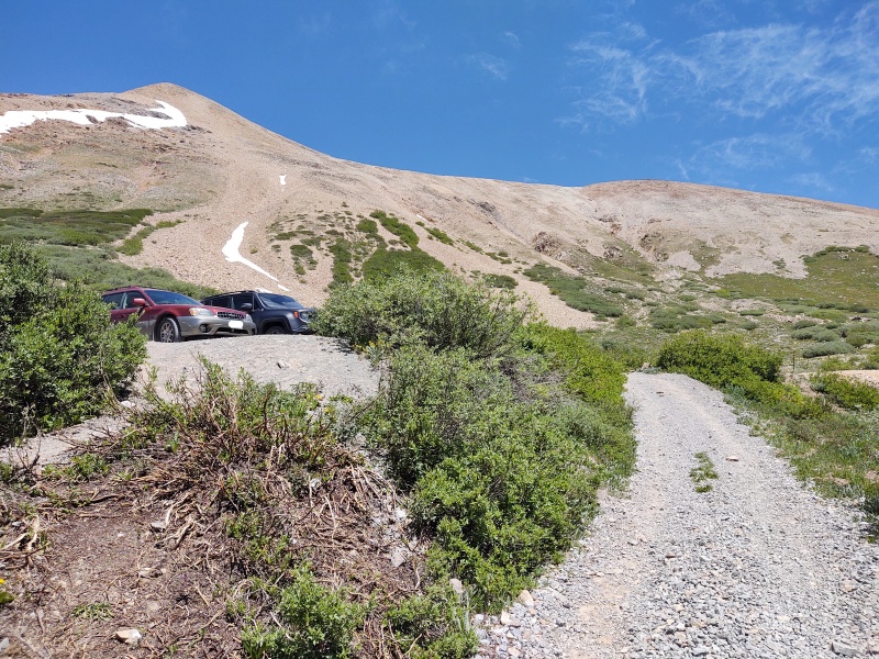
My times: 3:45am start from Iowa Gulch trailhead 4:35am leave the mining road to head uphill 5:39am Dyer summit 6:46am Gemini saddle 6:52am Gemini II summit 7:02am Gemini I summit 7:20am start for White Ridge 8:23am White Ridge summit 8:42am start for Sherman 9:27am Sherman summit 9:45am leave the masses and head for Sheridan 10:11am Sherman-Sheridan saddle 10:52am Sheridan summit 11:30am Cast a wistful glance at the next three 13ers then decide to call it a day 12:25pm back at the Jeep at Iowa Gulch Thumbnails for uploaded photos (click to open slideshow): ")
")
")
")
")
")
")
")
")
")
")
")
")
")
")
")
")
")
")
")
")
")
")
")
")
")
")
")
")
")
")
")
")
")
")
")
")
")
")
")
")
")
|
| Comments or Questions | ||||||
|---|---|---|---|---|---|---|
|
Caution: The information contained in this report may not be accurate and should not be the only resource used in preparation for your climb. Failure to have the necessary experience, physical conditioning, supplies or equipment can result in injury or death. 14ers.com and the author(s) of this report provide no warranties, either express or implied, that the information provided is accurate or reliable. By using the information provided, you agree to indemnify and hold harmless 14ers.com and the report author(s) with respect to any claims and demands against them, including any attorney fees and expenses. Please read the 14ers.com Safety and Disclaimer pages for more information.
Please respect private property: 14ers.com supports the rights of private landowners to determine how and by whom their land will be used. In Colorado, it is your responsibility to determine if land is private and to obtain the appropriate permission before entering the property.


