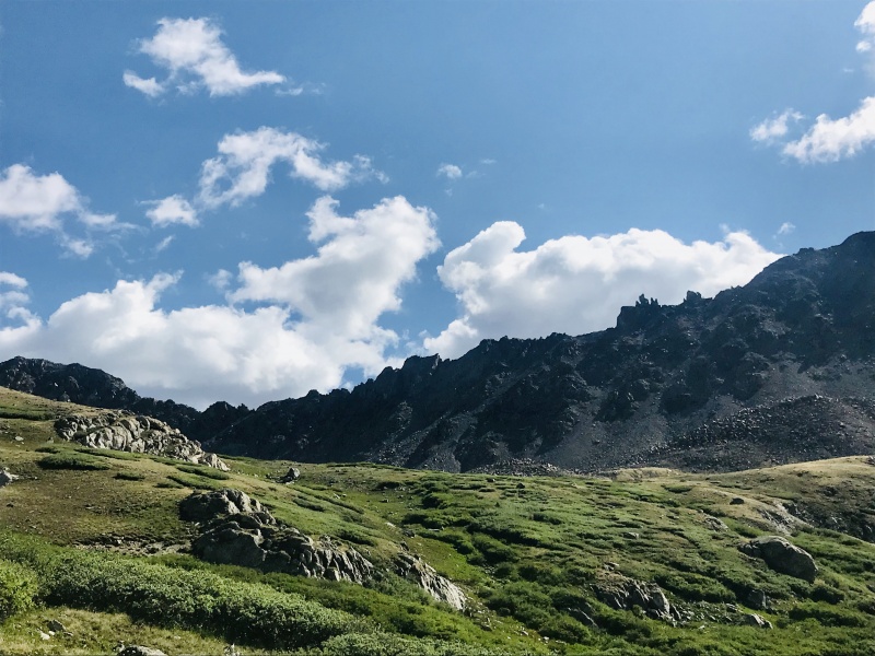
I couldn't find much concrete info about the Rabbit Ridge traverse out there beyond "DON'T DO IT" on SummitPost and rumblings of 5.7 cruxes. Here's my experience.
I set out from North Cottonwood TH about 0600 with 12oz. of water, 3 Muir gels, a water filter and not a cloud in the sky. I uploaded my intended route on my Ambit3 to take the south ridge of Columbia direct but I never encountered a decent turnoff from Horn Fork. Instead I just kept running until the Y-fork turning off for the west slopes at 0650. There were a couple dozen CFI volunteers already working to improve the notoriously awful trail. And their hard work has paid off. Solid boulder steps have replaced the loose scree.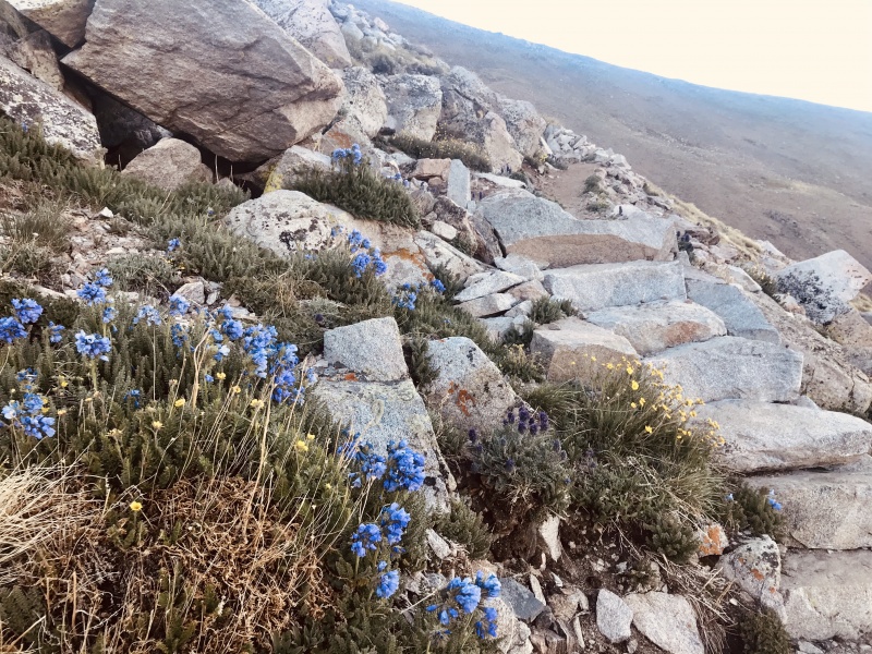
It was a painless power hike up to the summit. I passed 3 other parties, summiting in 1hr 53 min from the TH.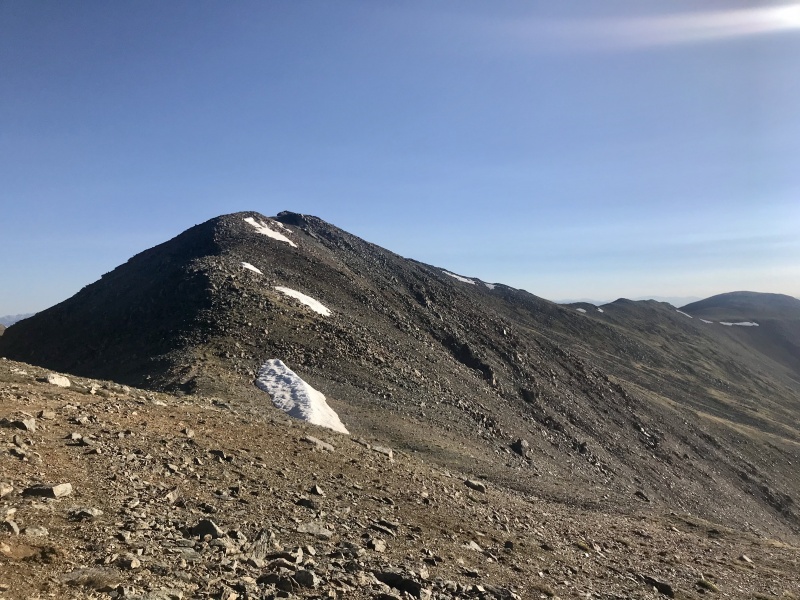
Rabbit Ridge is obvious atop Columbia... and simultaneously enticing and intimidating; the Rabbits and the jagged difficulties beyond in clear view.
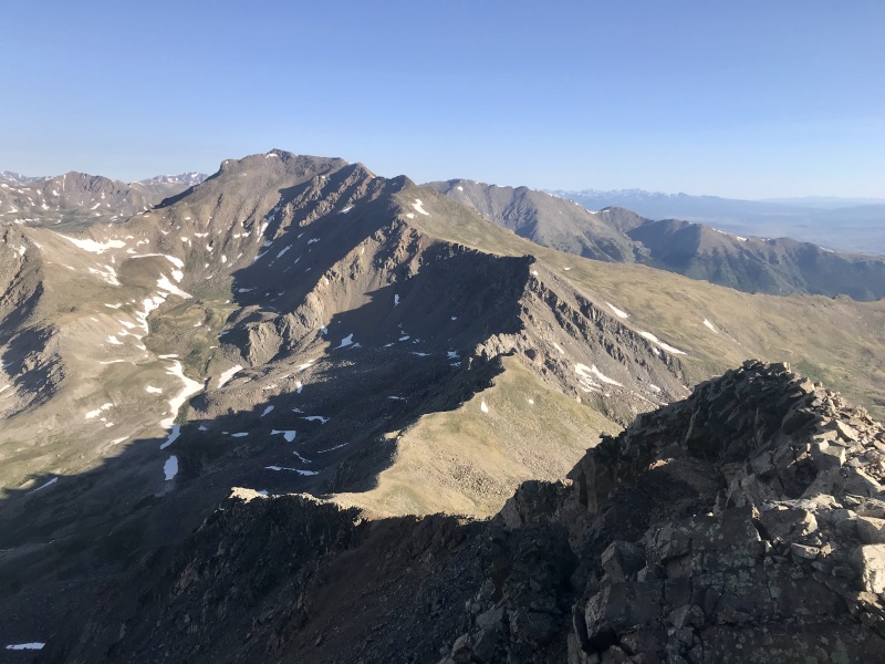
I set off down the loose scree from Columbia toward the grassy saddle. The hikers route turns off hard right here.

Staying on the ridge, I trended west (climber's left) to gain a narrow catwalk beyond the iconic Rabbits. 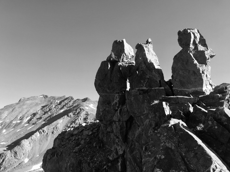
This was a mistake. The catwalk abruptly ends in a cliff surrounded peninsula. I backtracked and down climbed back down to the west, regaining the ridge beyond the 40 foot cliff. The climbing is primarily 2nd and 3rd class initially after the rabbits. The first impassable slab I encountered I dodged east on grassy ledges regaining the ridge with a succession of chossy gullies having not dropped more than 40 ft off the ridge. I continued along the ridge proper, slightly favoring the west side to bypass any difficulties. Eventually I was stopped by a 30 ft wall with a distinct crack splitting it. I assume this was the "5.7 crux". Looked more like low 5th class climbing to me. Not knowing what lie beyond and wanting nothing to do with a down climb of that crack, I chose to bypass it to the east. The bypass was both obvious and painless. At the base of the crack wall, one simply down climbs a 3rd cl gully and then contours below the ridge until a series of blocky ledges and gullies present an opportunity to regain the ridge. I looked back on the opposing side of the crux and it appeared to be a reasonable 3rd cl walkoff the other side if the crack is climbed.
I tried to stay ridge proper here but the terrain became increasingly complex, cliffy and seemingly impassable in places. I was gradually pushed west until I found myself on some fairly exposed ledges. As exposed as they were, they were equally solid. Traversing horizontally along the ledges on 3rd-4th cl terrain, the ridge proper soon got away from me as it rose toward Harvard. I started climbing ribs and gullies interspersed amongst sheer slabs above and below. Every slab I encountered could be skirted onward without backtracking. After a couple hundred feet of 4th cl climbing, the terrain eased and I regained the ridge on the hikers trail beneath Harvard.
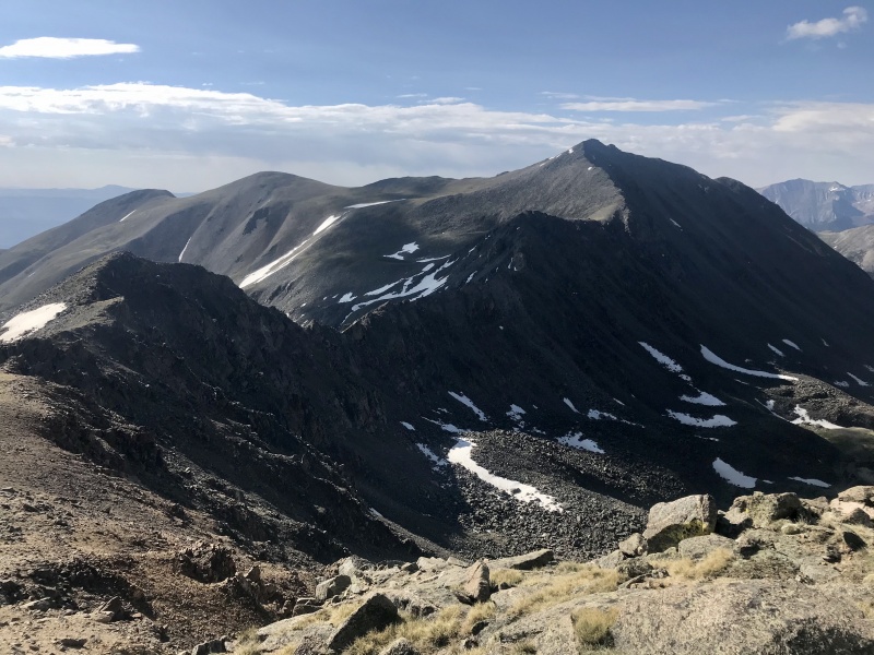
I summited Harvard on the 2nd class trail completing the traverse in 1:30 and ran down the standard trail, arriving back at my car in 1:15. The whole route took 4:45 with 5800 ft of vertical and 15 miles.
