Mount Harvard - 14,424 Feet

The 3rd highest peak in Colorado is located in the Collegiate Peaks Wilderness of the San Isabel National Forest, just northwest of the town of Buena Vista. Unlike Mounts Princeton, Antero, Yale and Columbia, Harvard isn't as visible from paved roads as you drive through the Arkansas River Valley. If you want to see Harvard in all its grandeur, you'll have to drive to the trailhead and hike to the peak.

Climbing the standard, easiest route on Mt. Harvard requires backpacking into Horn Fork Basin from the North Cottonwood Creek Trailhead where the trail climbs nearly to the summit before you'll have to scramble through the upper, rocky terrain to reach the summit.
  360° Panorama from the summit of Mount Harvard.
360 Pano

Harvard seen from Columbia.
pic1
Mount Harvard seen during a climb/ski.
pic2 pic3 pic4 pic5 pic6 pic7 pic8 pic9
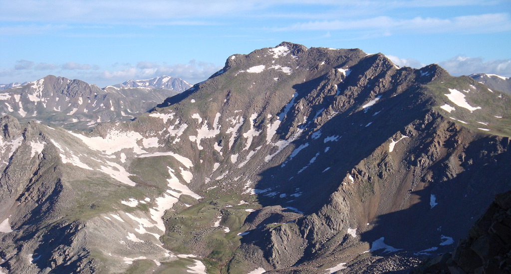
Mount Harvard seen from Mt. Oxford.
pic10
Mount Columbia and Harvard from the east.
pic11 pic12 pic13
Taken during a hike on Harvard.
pic14 pic15 pic16 pic17 pic18 pic19 pic20 pic21 pic22 pic23 pic24 pic25 pic26 pic27
Harvard seen from Columbia
pic28
Harvard seen during a hike on Columbia.
pic29 pic30 pic31 pic32
Harvard and Columbia seen from Mt. Yale.
pic33
Harvard and Columbia seen from the summit of Missouri Mountain.
pic34 pic35 pic36
Columbia (left) and Harvard seen from the East near the base of the Buffalo Peaks.
pic37
Harvard seen from the east near the base of the Buffalo Peaks.
pic38 pic39

More Photos 


This map can only be accessed by registered 14ers.com users. If you don't have an account, you can register in the forum.

Log In_