Download Agreement, Release, and Acknowledgement of Risk:
You (the person requesting this file download) fully understand mountain climbing ("Activity") involves risks and dangers of serious bodily injury, including permanent disability, paralysis, and death ("Risks") and you fully accept and assume all such risks and all responsibility for losses, costs, and damages you incur as a result of your participation in this Activity.
You acknowledge that information in the file you have chosen to download may not be accurate and may contain errors. You agree to assume all risks when using this information and agree to release and discharge 14ers.com, 14ers Inc. and the author(s) of such information (collectively, the "Released Parties").
You hereby discharge the Released Parties from all damages, actions, claims and liabilities of any nature, specifically including, but not limited to, damages, actions, claims and liabilities arising from or related to the negligence of the Released Parties. You further agree to indemnify, hold harmless and defend 14ers.com, 14ers Inc. and each of the other Released Parties from and against any loss, damage, liability and expense, including costs and attorney fees, incurred by 14ers.com, 14ers Inc. or any of the other Released Parties as a result of you using information provided on the 14ers.com or 14ers Inc. websites.
You have read this agreement, fully understand its terms and intend it to be a complete and unconditional release of all liability to the greatest extent allowed by law and agree that if any portion of this agreement is held to be invalid the balance, notwithstanding, shall continue in full force and effect.
By clicking "OK" you agree to these terms. If you DO NOT agree, click "Cancel"...
This is a repeat of a report I put up around this time last year. Then, I set out to climb the S Ridge on Snowmass and descend the East Slopes route, traversing high above Snowmass Lake to intersect the section of the "4 Pass Loop" that ascends from Snowmass Lake to Trail Rider Pass. I somehow missed the S Ridge and ended up on the West Slopes route. This time, I hit it right and will provide detailed information for anyone looking to climb the S Ridge, and also repeat a bit about the circuit, basically circling around Hagerman Pk, that I think is an excellent way to spend a day.
The splits on this hike were as follows:
7:30 a.m. start hike from Lead King Basin trailhead.
10:30 a.m. access the S Ridge via the left of two gullies.
12:45 p.m. Snowmass Summit.
3:00 p.m. reach Trail Rider Pass
5:00 p.m. return to Camp.
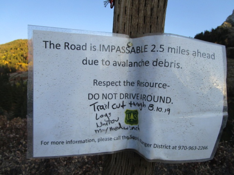
The road to Lead King Basin is a tough one. There is an upper and lower option. The upper road has been closed much of this summer because of avalanche debris across the road. On October 3, 2019 there was still a sign indicating that the road was closed. But as others have noted, it is passable.
Sign still up as of 10/3/2019
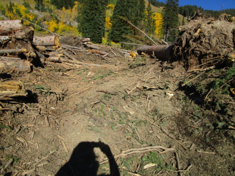
I found it easy to drive through the path that has been cleared, but there is still snow underneath the debris, so this may still change with time, but it appeared pretty stable when I was there.
Slide path
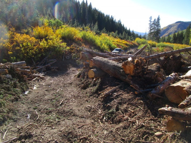
The obstruction is about 100 years wide, but the path that has been cut through is excellent.
Plenty of room for just about any vehicle.
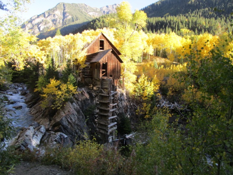
I made my way down to the trailhead, which is 14.8 miles from the turn off from Hwy. 133 to Marble. The split for the high or low road comes at 8.1 miles from the highway. The high road is easier on your vehicle, but there are long stretches where passing would be difficult. The low road, through Crystal and passing by the famous Crystal Mill, is MUCH rougher. Either way is about 6 miles and either way takes about an hour and a half from the split. On the high road I took 1 hour 15 minutes to get to the trailhead and on the low road coming out, it took 1 hour 30 minutes, both times just to get to the intersection where high and low roads split.
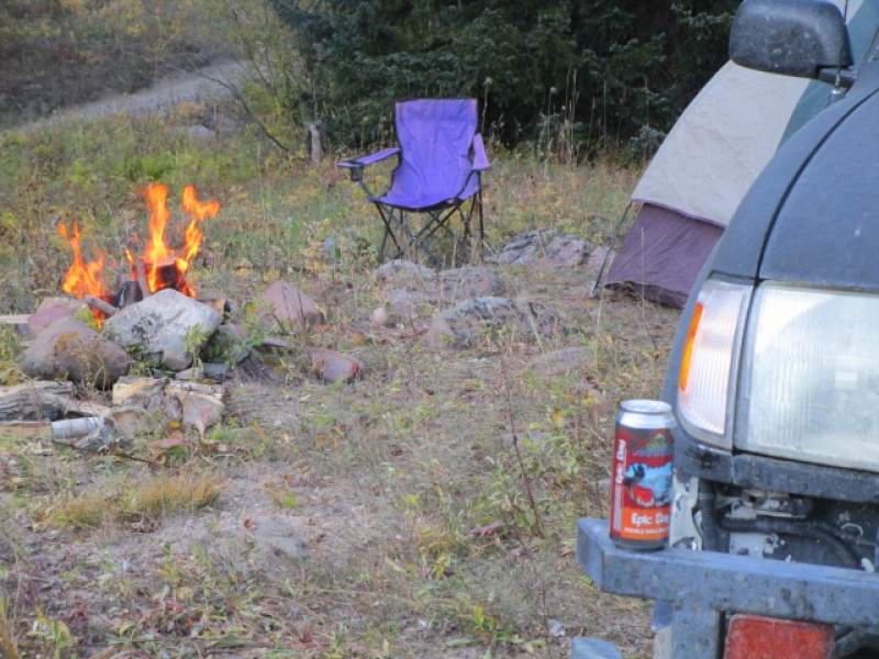
There are a couple good camping spots close to the trailhead.
My new favorite beer, thanks to Julian and his lost axe.
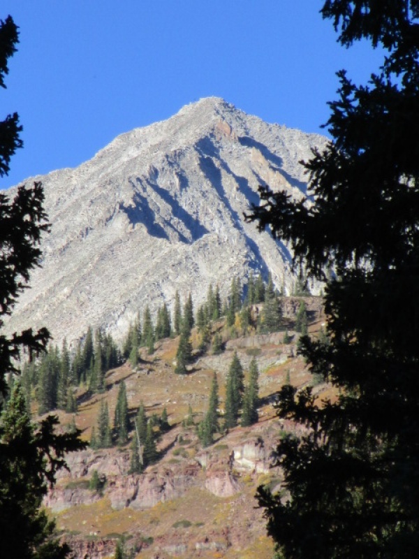
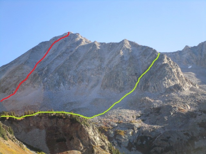
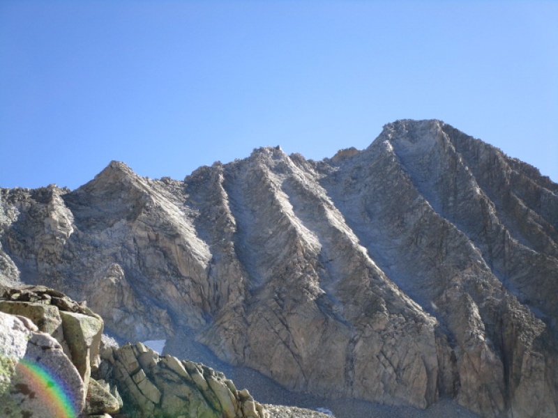
The S Ridge is visible from a couple vantage points near the trailhead.
Snowmass "S" Ridge
I shared the parking lot campsite with a couple other 14er.com members, John and Dave, who were planning on the West Slopes route in the morning. I did spy them making their way up when I was on my way to the S Ridge, but don't know how their day went, their truck gone when I got back. If you guys are reading this, give a shout out. Hope your day went well.
One thing to be aware of, when I did this last year and climbed the West Slopes route there was considerable ice built up at the start of the cliffs which block easy access to the upper portion of the West Slopes route. It was possible to climb around it with some creativity, and it was just one short section of ice on the whole route, but it could easily be a show stopper. The S Ridge is a good alternative if ice ruins your day, consider this route as a good alternative.
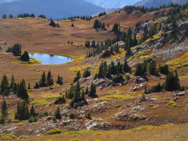
It takes a little more than an hour to get up and around Lake Geneva. As you pass the designated sites, keep in mind that when you get to site 4, turn to the left as if going to the site. The climbers trail to the Snowmass routes continues past the site. If you stay on the main trail to the right, you will end up no where near where you want to be!
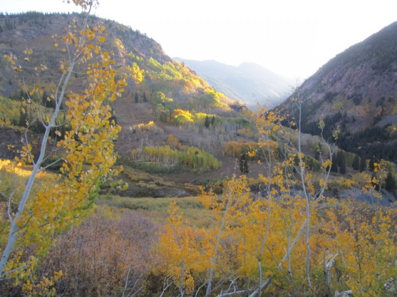
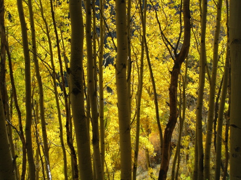
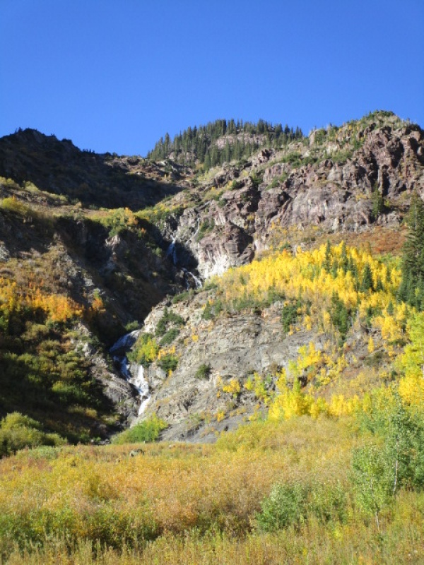
Early morning light on the Fall colors
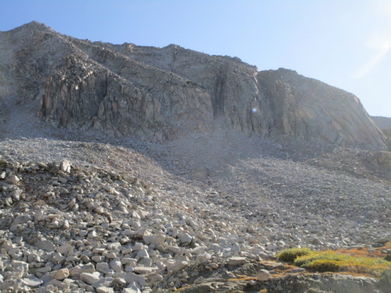
After campsite 4 there is another steep climb up to the bench below the two routes on this side of the mountain.
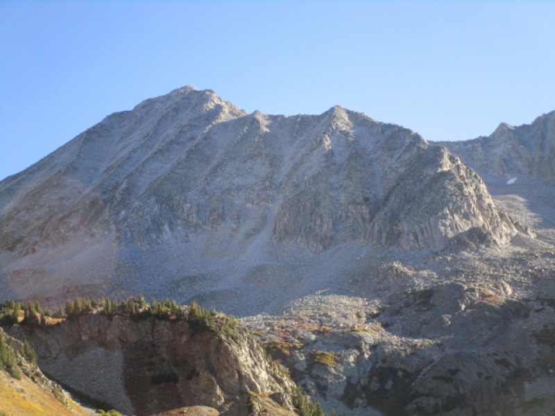
Snowmass from the area between Lake Geneva and Little Gem Lake
I have highlighted the routes in the following photo.
Red - West Slopes Green - "S" Ridge a/k/a South Ridge
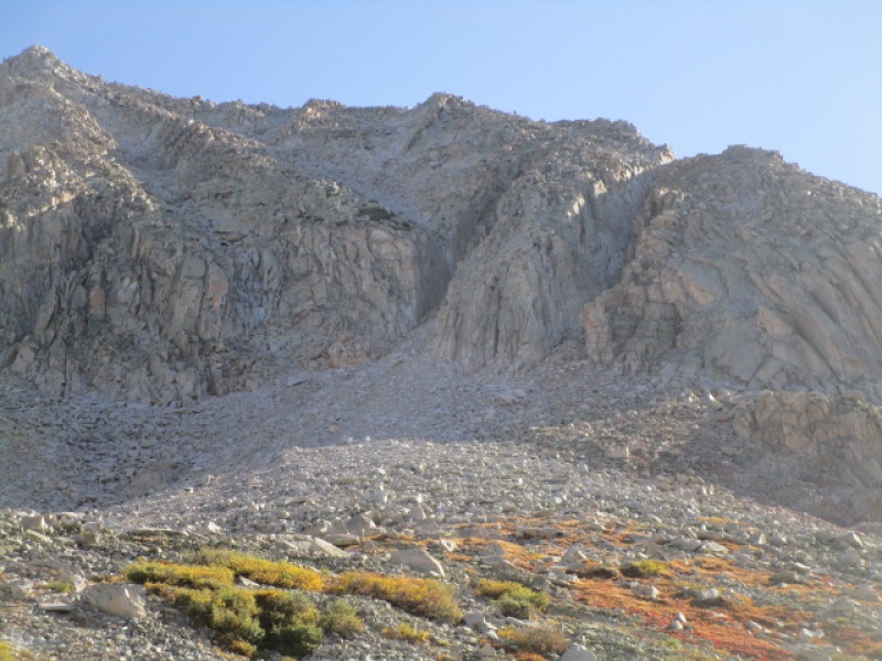
It is not obvious where to leave the trail and head for the S Ridge. I did not find any hint of a climbers trail. But it was not complicated. Once I got to Little Gem Lake I continued past to a low point on the trail and just turned right heading for the two obvious gullies at the lower end of the ridge.
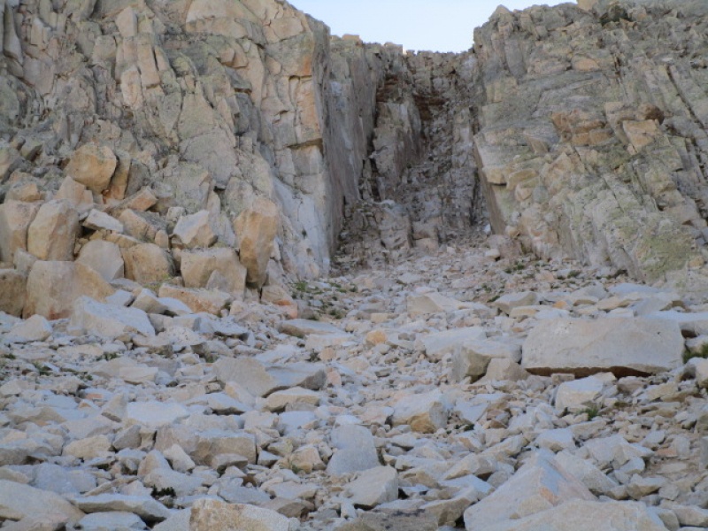
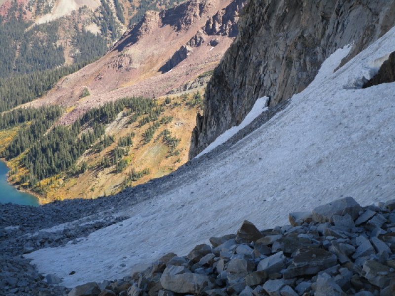
Two Gullies
It looks like either of these will work. I also read one trip report that suggested the rock between the gullies goes with nothing past class 3, which actually looked pretty good and I almost tried that myself. But I went with the left hand gully which was loose and would not be a great option with a group. Hard to get up without knocking rocks loose, but not too hard to climb.
Little Gem Lake from the only cairn I found the whole way across to the gullies.
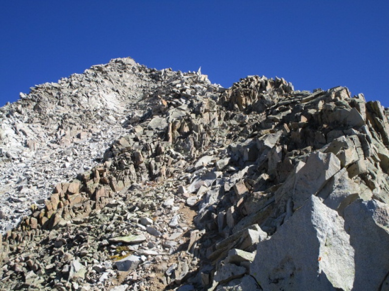
The hiking up to the gullies is straightforward and not very difficult. Mostly solid underfoot with only occasional loose scree to contend with.
Nearing the Gullies
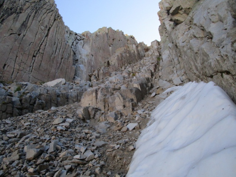
Left Gully
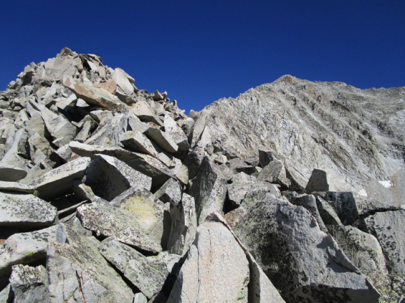
About 1/3 of the way to access the ridge.
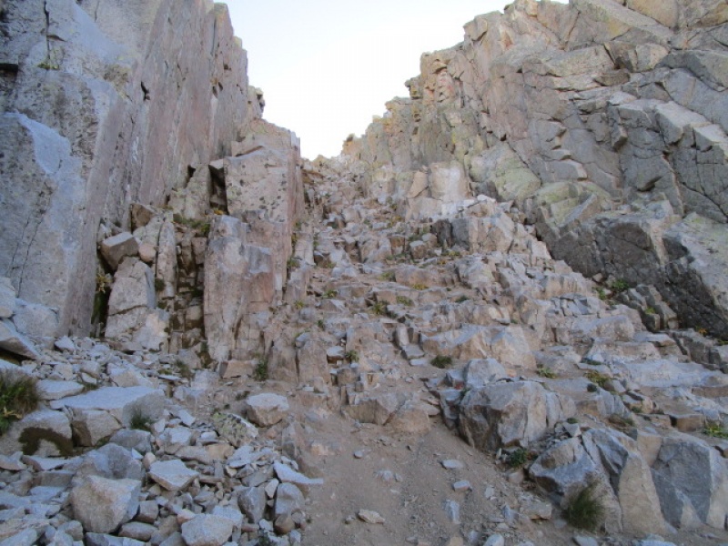
Top 1/3 of gully. A firing squad for a second in here. Stay close if in a group.
Looking back after topping out on the ridge.
It took about 3 hours to get to this point. The ridge itself is a real joy. I can only describe it like an enormous jungle gym for climbers. There are lots of variations along the ridge. From here to the summit was about 2 hours of fun scrambling which would be hard to beat with any other route.
Haggerman Pk and ridge connecting to saddle with Snowmass.
Starting on the ridge. False summit ahead, actually mark less than 1/2 way to summit.
Summit in view after 45 minutes scrambling on the ridge.
A little past the 1/2 way point there are some interesting moves that require some thinking. I have read there is a class 3 walk around, but staying on the ridge is fun.
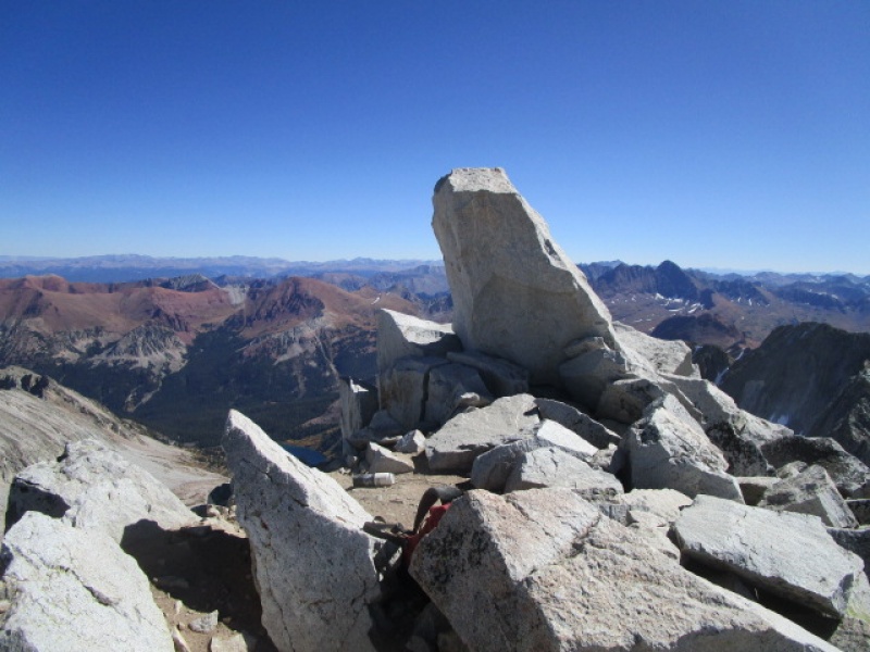
About two hours after gaining the ridge the summit is underfoot!
Summit Block
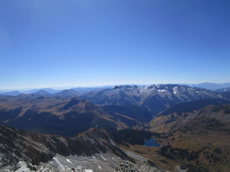
There was a chopper buzzing around Capitol for a while when I was on top and he eventually started heading south toward Snowmass and passed close enough to the summit that I actually waved at the pilot, who acknowledged me and waved back. Hoping it was a routine training flight.
Chopper flyby.
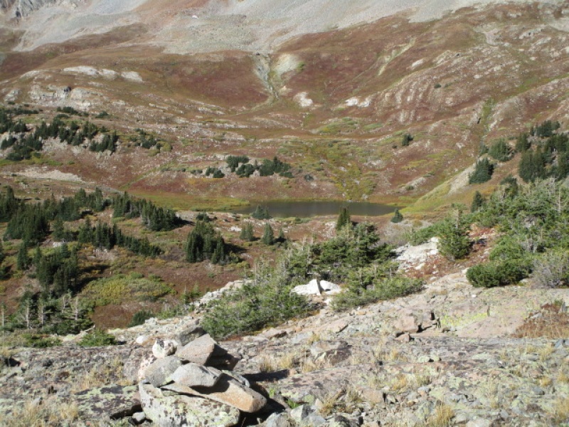
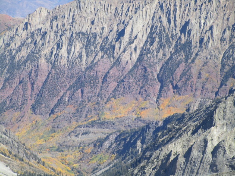
Fall Colors
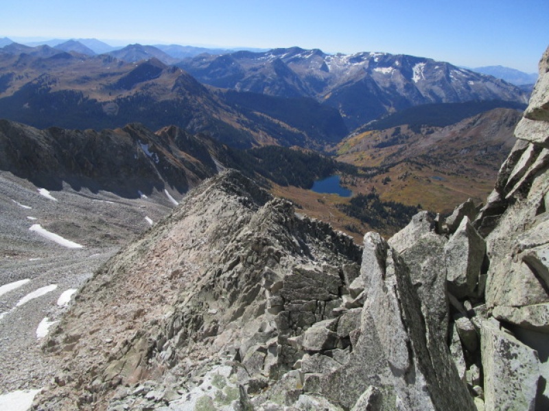
After lunch on the summit I took off down the East Slopes route. This is well cairned and easy to follow. If you had not come up this way you might assume that the trail gets you down to the saddle between Snowmass and Haggerman but that would be wrong. Keep an eye out for the cairns that mark the point where you drop off the ridge into the East Basin well before you reach the low point of the saddle. Once in the Basin, the tricky part of the circuit begins. Once down to where the terrain levels out, focus your attention on the cliffs at the far east side of Haggerman Pk.
Easternmost point of Haggerman Peak.
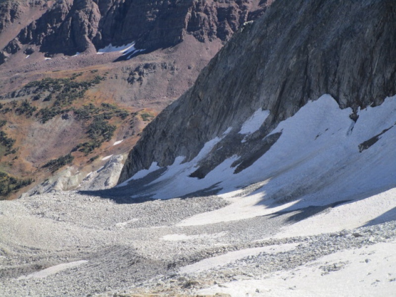
Once you turn the corner, pick up animal tracks that lead to the trail heading up to Trail Rider Pass. It is possible to do this without giving up any more elevation that what you lose to turn the corner around the cliff. The snow made a small detour necessary over what I did the year earlier, but not as long a diversion as I feared might be necessary given how much more snow there was this year than last.
Only pleasant surprises around the corner!
You intersect the good trail coming up from Snowmass Lake maybe 400 vertical feet below the pass. The Maroon Bells are visible most of the way up.
Maroon Bells from below Trail Rider Pass
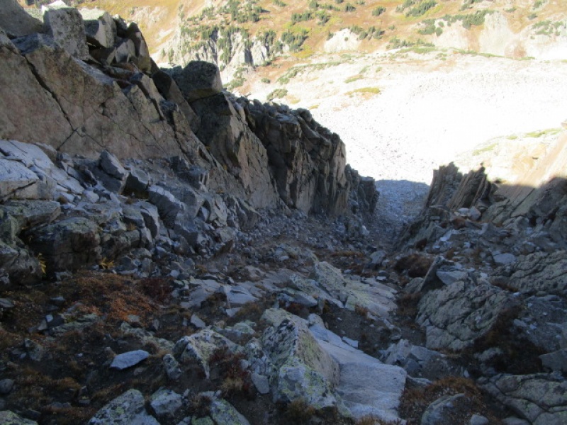
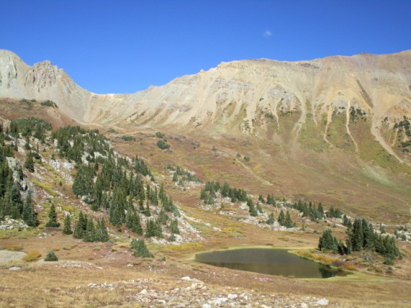
The hike out from the pass has two options. After a mile or two there is a fork in the trail, one leading back to Lake Geneva and the other called the "Cutoff trail". I have done both and can't recommend one over the other. They are both nice. If you like the scenery around the lake, take the Lake Geneva trail to the right. This will bring you back to the intersection with Camp 4 which you passed earlier in the day. If you want to see more of the country, take the Cutoff which drops steeply to the river and intersects with the trail to Frigid Air Pass and then intersects with the trail to Lead King Basin just a 1/2 mile or so from camp.
Small lake on the West side of Trail Rider Pass
Looking back up at Trail Rider Pass before dropping back into Lead King Basin
Fall Colors
This is where the "Cutoff Trail" comes back into Lead King Basin
Back at camp around 5:00 p.m. An excellent circuit which I highly recommend.
Crystal Mill
Thumbnails for uploaded photos (click to open slideshow):
On my day back that way in July I snow climbed up the couloir between Snowmass Peak (13er) & Hagerman. On my return I also decided to try the Cutoff Trail. The trail required a wading through the creek (mid thigh deep) at the piers for an old bridge. Luckily the spot I crossed also had a large log acting as a strainer & more importantly as a handrail for me! I'm guessing you managed to rock hop across? In any case - I'm just sharing this info for anyone hoping to try that section of trail when the runoff is significant. Thanks for writing this up! I hope to make it back that way in the future to get the S Ridge myself!
Wow, that was some runoff. Waterfall must have been awesome to see in that condition. The bridge pier is still there, obviously. A bit muddy next to the creek, but easily crossed with dry feet this time.
We should've listen to you and tried the S ridge. Instead we tried the standard route and ran into ice like you said we would . I managed to climb around it but John couldn't make the move and turned around so I came back down . We saw you on the ridge and waved. Maybe we can hook up on the Wilsons.
Oh that is a bummer. Next time then. I remember the ice seemed really intimidating at first, but the more I looked at it, the easier the walk around turned out to be. I am guessing maybe it was even worse last week since it was much colder the night before when we were there. Yeah, hit me up when you head out to the Western Slope and maybe we can tackle something in the Wilson Group.
With the weather forecast for this Friday (10/18), I'm bumping my plan to do this exact route to 10/26. This will complete the whole list of 74 14ers (official and unofficial) for me and I'd love to squeeze it in this year. If anyone has an update on ice or snow accumulation on this route in the coming weeks (or currently), I'd appreciate it! I know its getting late season, and I might be pushing it....
Caution: The information contained in this report may not be accurate and should not be the only resource used in preparation for your climb. Failure to have the necessary experience, physical conditioning, supplies or equipment can result in injury or death. 14ers.com and the author(s) of this report provide no warranties, either express or implied, that the information provided is accurate or reliable. By using the information provided, you agree to indemnify and hold harmless 14ers.com and the report author(s) with respect to any claims and demands against them, including any attorney fees and expenses. Please read the 14ers.com Safety and Disclaimer pages for more information.
Please respect private property: 14ers.com supports the rights of private landowners to determine how and by whom their land will be used. In Colorado, it is your responsibility to determine if land is private and to obtain the appropriate permission before entering the property.

")
")
")
")
")
")
")
")
")
")
")
")
")
")
")
")
")
")
")
")
")
")
")
")
")
")
")
")
")
")