Download Agreement, Release, and Acknowledgement of Risk:
You (the person requesting this file download) fully understand mountain climbing ("Activity") involves risks and dangers of serious bodily injury, including permanent disability, paralysis, and death ("Risks") and you fully accept and assume all such risks and all responsibility for losses, costs, and damages you incur as a result of your participation in this Activity.
You acknowledge that information in the file you have chosen to download may not be accurate and may contain errors. You agree to assume all risks when using this information and agree to release and discharge 14ers.com, 14ers Inc. and the author(s) of such information (collectively, the "Released Parties").
You hereby discharge the Released Parties from all damages, actions, claims and liabilities of any nature, specifically including, but not limited to, damages, actions, claims and liabilities arising from or related to the negligence of the Released Parties. You further agree to indemnify, hold harmless and defend 14ers.com, 14ers Inc. and each of the other Released Parties from and against any loss, damage, liability and expense, including costs and attorney fees, incurred by 14ers.com, 14ers Inc. or any of the other Released Parties as a result of you using information provided on the 14ers.com or 14ers Inc. websites.
You have read this agreement, fully understand its terms and intend it to be a complete and unconditional release of all liability to the greatest extent allowed by law and agree that if any portion of this agreement is held to be invalid the balance, notwithstanding, shall continue in full force and effect.
By clicking "OK" you agree to these terms. If you DO NOT agree, click "Cancel"...
-took about 5.5 hours (which includes stretches of the approach, tundra, and exit that I ran)
Yesterday I completed the Shoshoni - Apache - Navajo traverse, with a descent down Airplane Gully. My goal for this route was to keep the entire thing 4th class or lower while staying as close to the ridge as possible. I didn't carry a rope or other climbing gear. While there is some excellent detail available on the Kasparov Traverse between Shoshoni and Apache, which entails climbing all the Chessmen along the ridge, I found less beta about the 4th class traverse between Shoshoni and Apache. There was a bit more about the 4th class between Apache and Navajo, including this great trip report, but I would have liked even more. I hope this report helps provide more info for those looking to do this route without getting into 5th class territory.
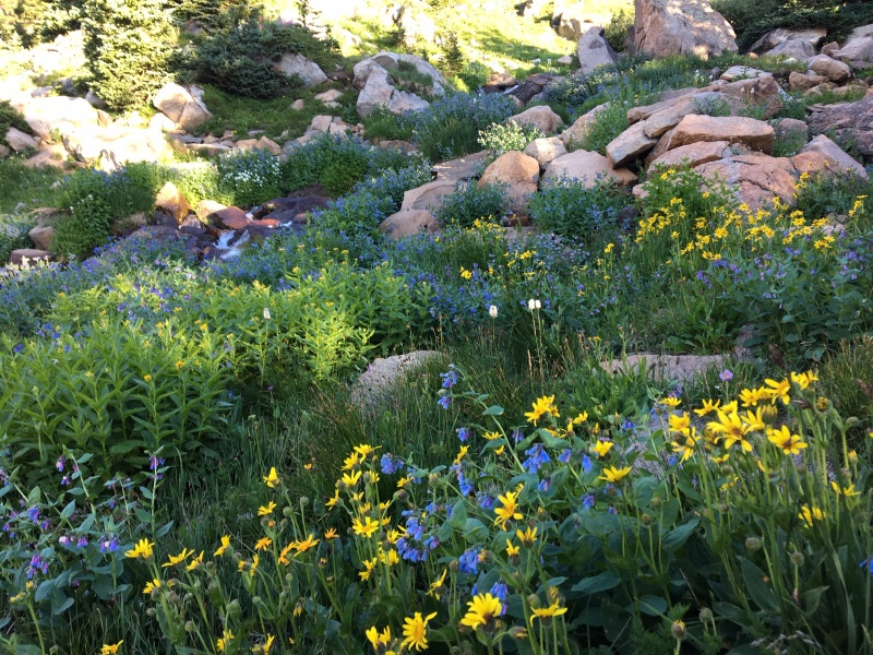
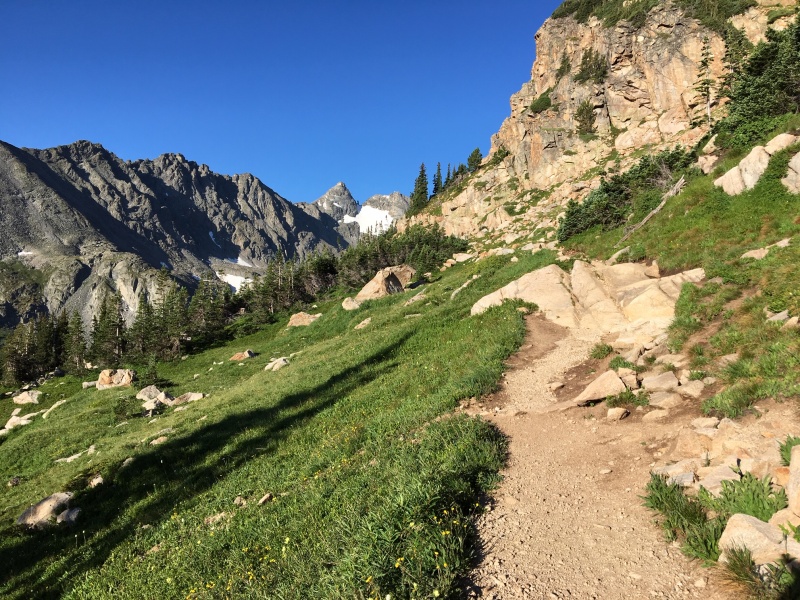
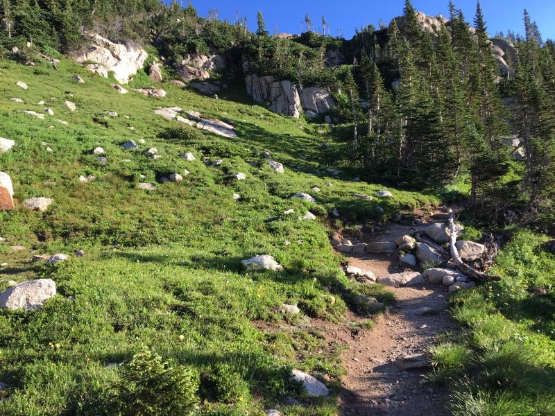
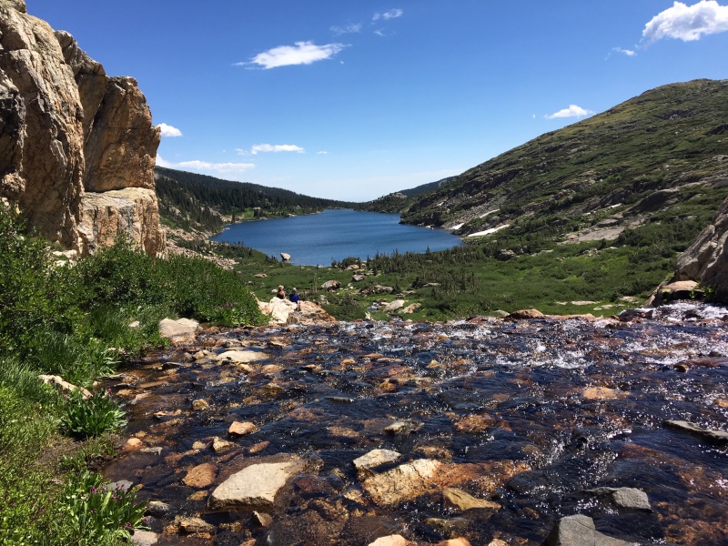
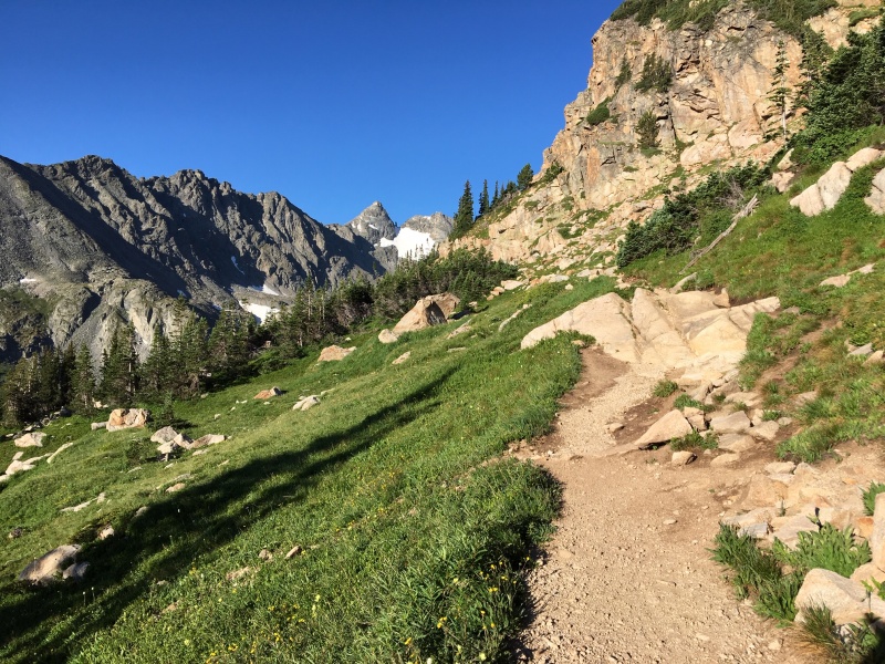
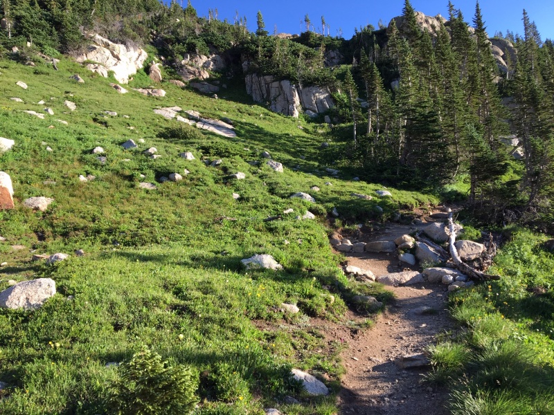
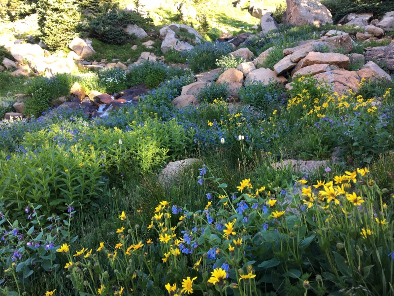
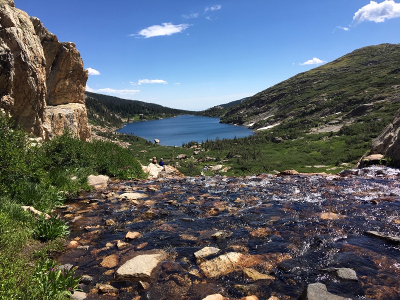
I started on the Pawnee Pass trail from the Long Lake trailhead, and took the standard route heading up to Pawnee Pass. Not that the IPW are ever not beautiful, but this seemed to be a magical window of peak beauty, with the grasses still lush and green, wildflowers everywhere, glacial streams flowing, and great weather.
Niwot Ridge and Navajo from the Pawnee Pass trail
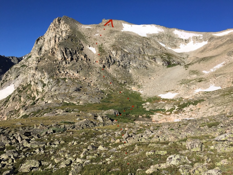
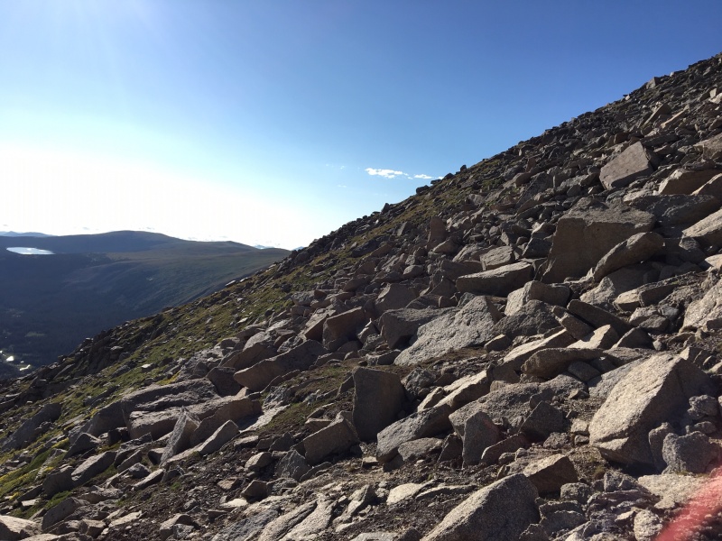
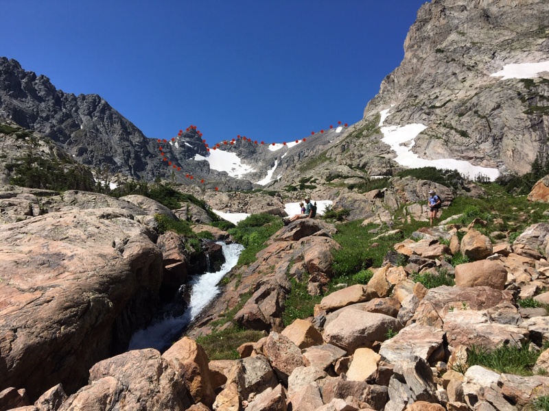
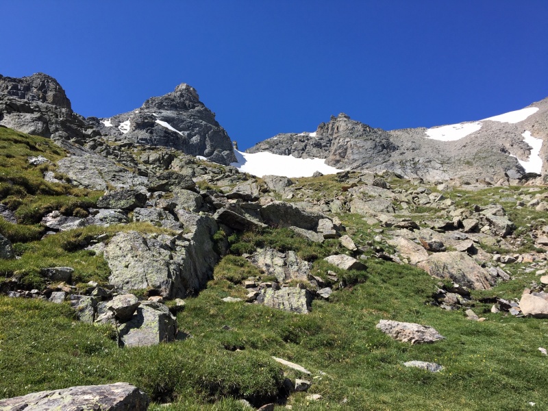
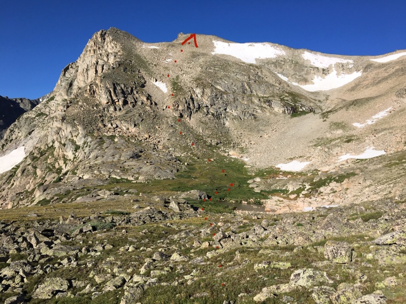
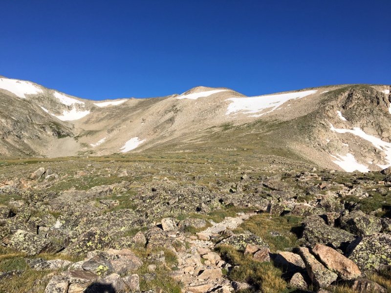
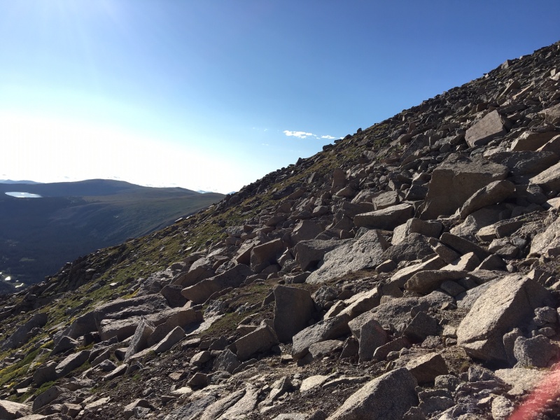
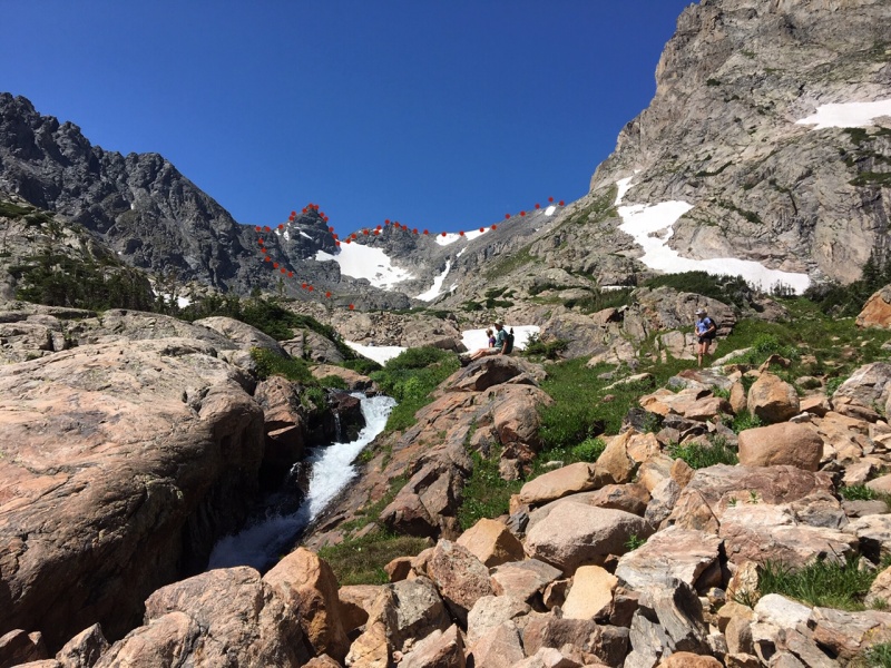
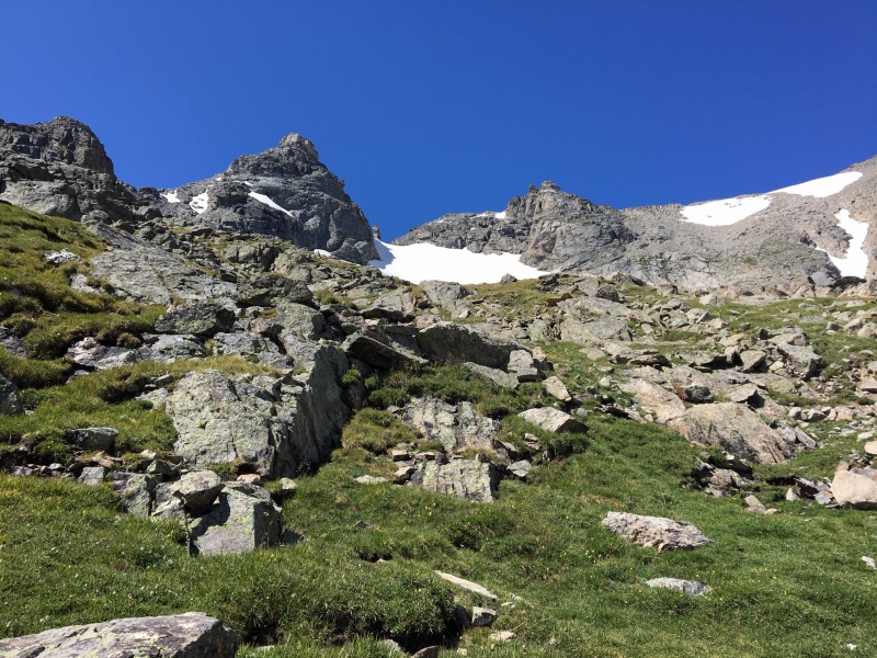
I split off from the trail on the upper plateau before the final switchback climb up to Pawnee Pass so that I could go directly up Shoshoni's northeast talus field. I had gone down this face once before, but never up. It's a steep class 3 climb but fun to be making such a direct line for the summit. Once on top, you get a great view of the day's work ahead.
Shoshoni's NE talus field route, as seen from the split off the Pawnee Pass trail
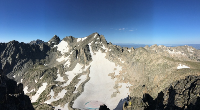
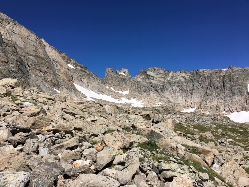
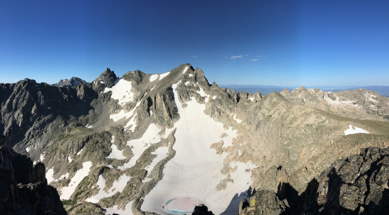
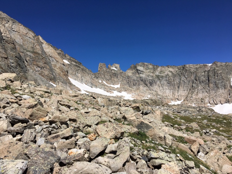
A look SE from Shoshoni's NE face
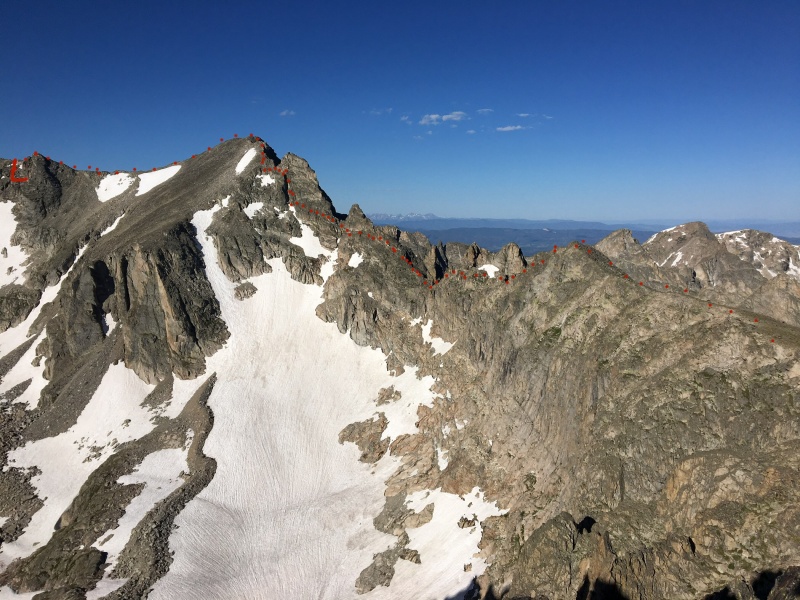
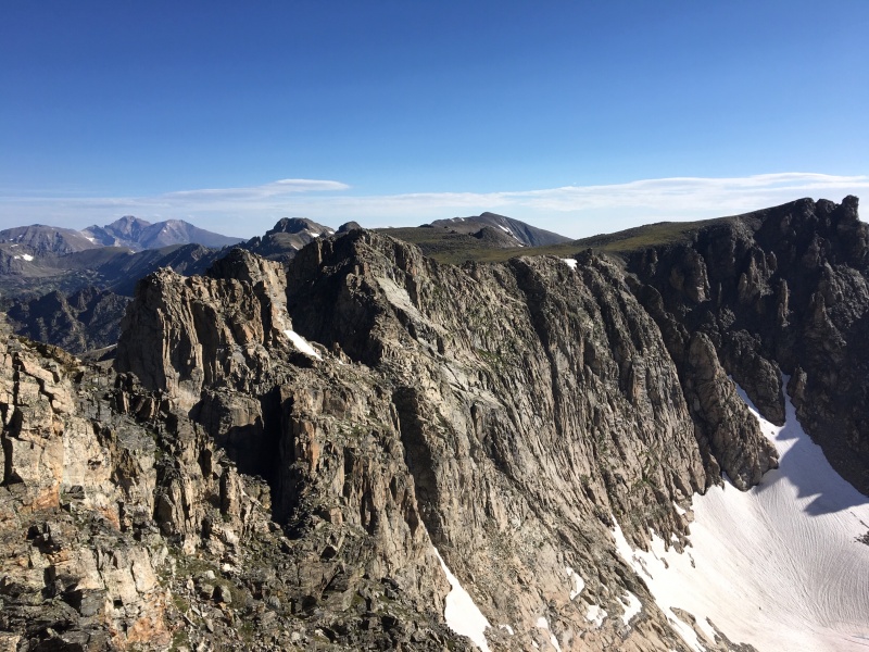
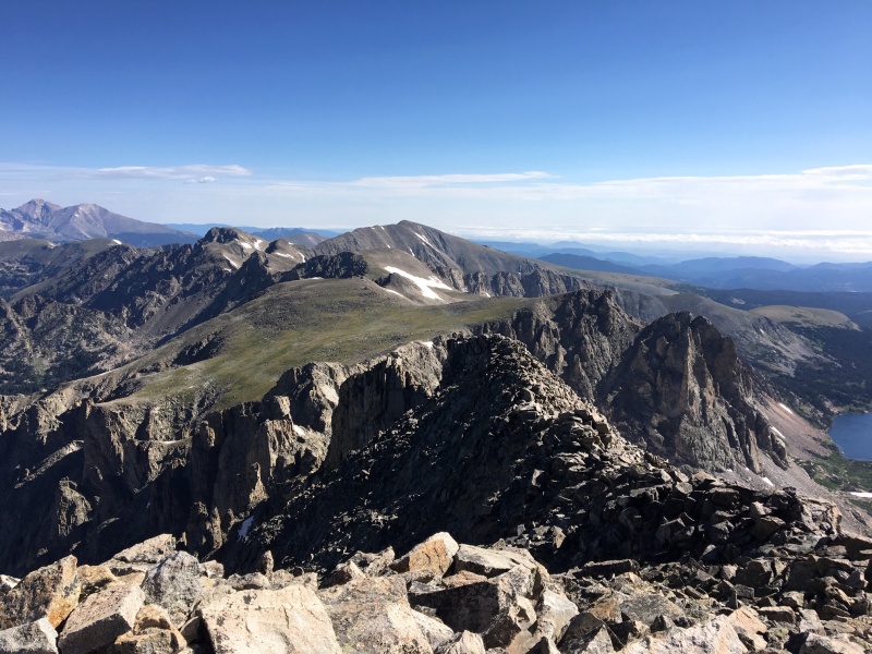
Looking ahead at the Kasparov Traverse, and the route I would try to find along its edges, was slightly intimidating. The rock looks steep and it's hard to imagine that a 4th class ledge system exists in there somewhere. But it does.
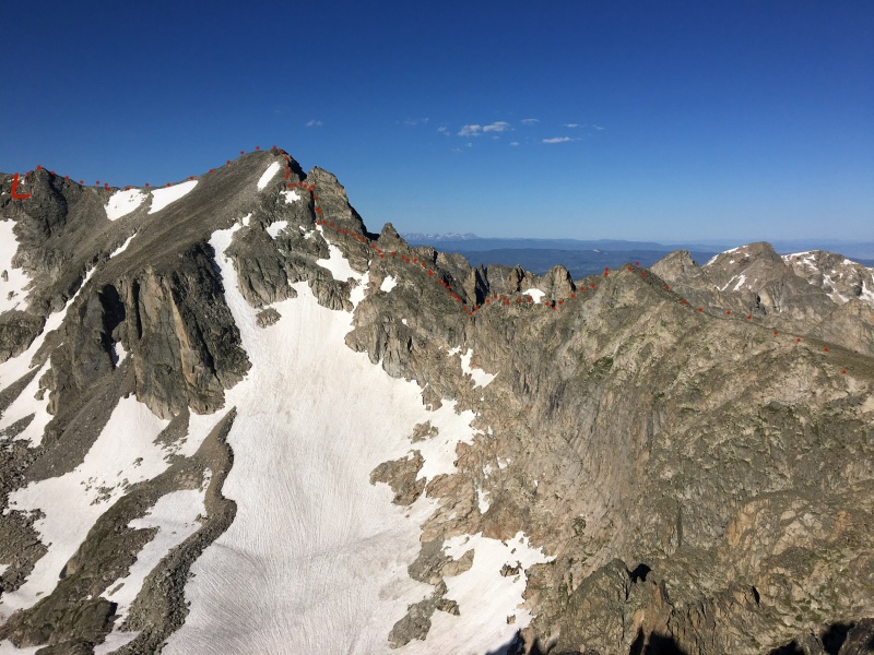
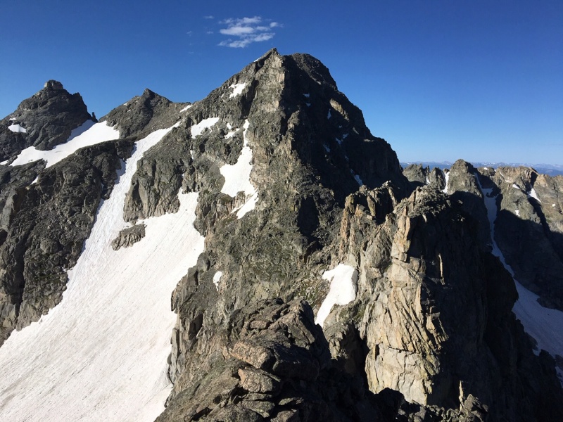
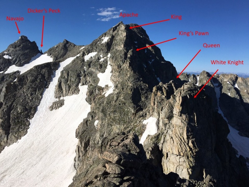
From left, the end of Niwot Ridge, Navajo, Apache's false summit, Apache, the Kasparov Traverse, and Shoshoni's SW ridge
Roughly the route I took, except I was on the west side of the White Knight and Knight's pawn.
The traipse along Shoshoni's southwest ridge went quickly and I reached the notch where the traverse begins in earnest. I lowered myself down about 200 feet following the ridge and then was looking right at the White Knight, the first of the Chessmen.
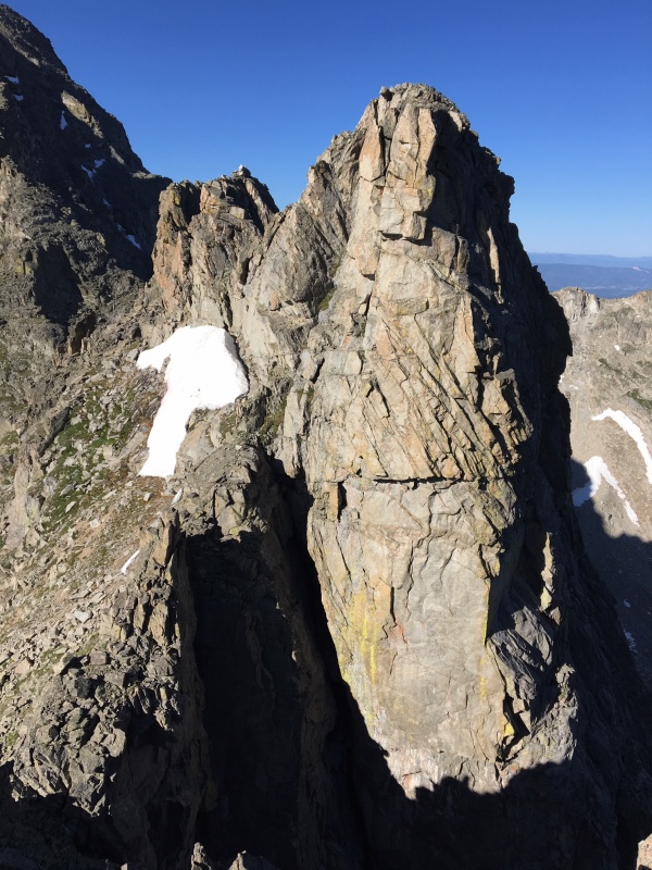
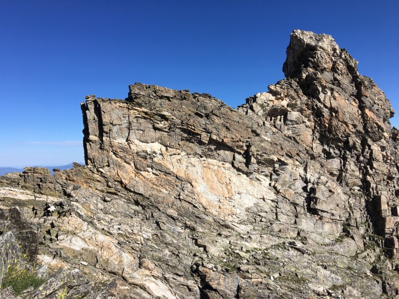
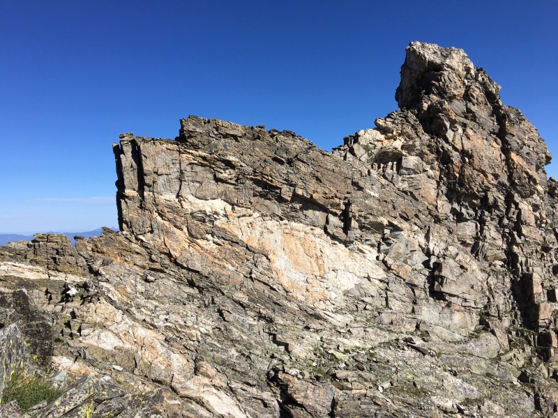
White Knight up close and personal
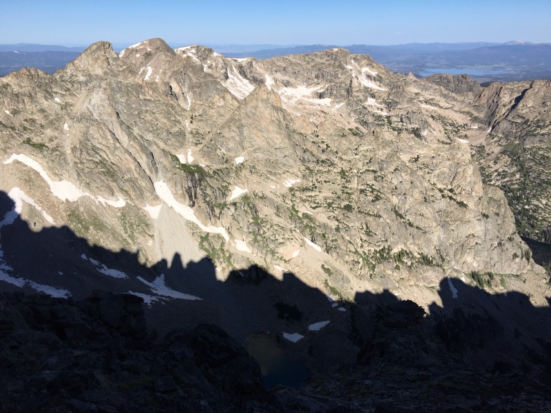
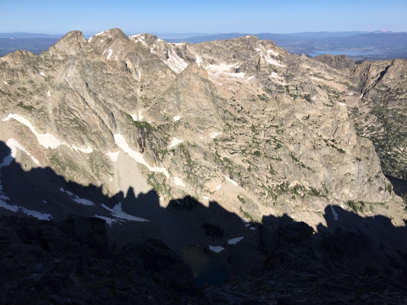
The Kasparov Traverse silhouetted against the Lone Eagle Cirque to the west
From here on I took fewer pictures, and my memory of the exact route is a bit blurry. It was sort of difficult to know exactly where I was along the ridge at any given moment, and my focus was completely absorbed in routefinding. So this is not a step-by-step plan but a general guide to get through it.
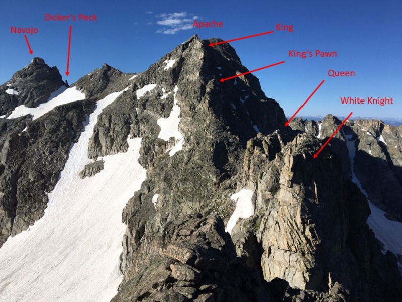
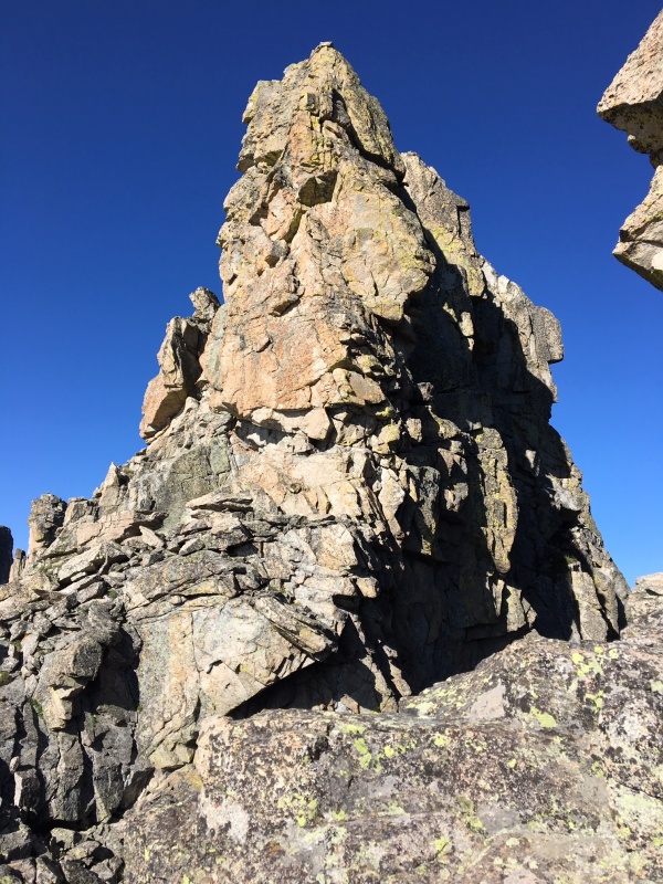
To bypass the first Kasparov tower, the White Knight, head to the west side and move along its base. I cut east again between the White Knight and the Queen, the second unique Kasparov tower.
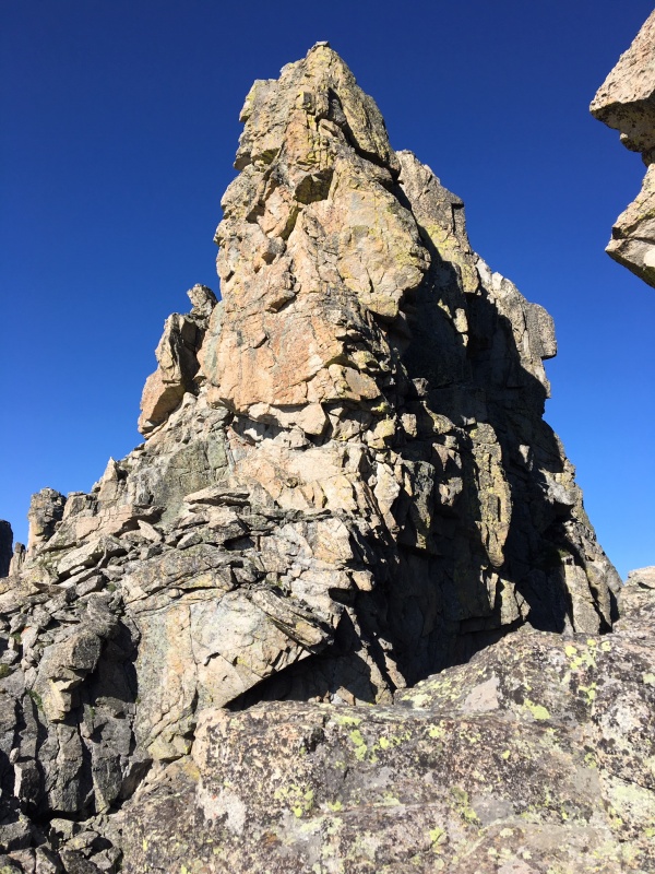
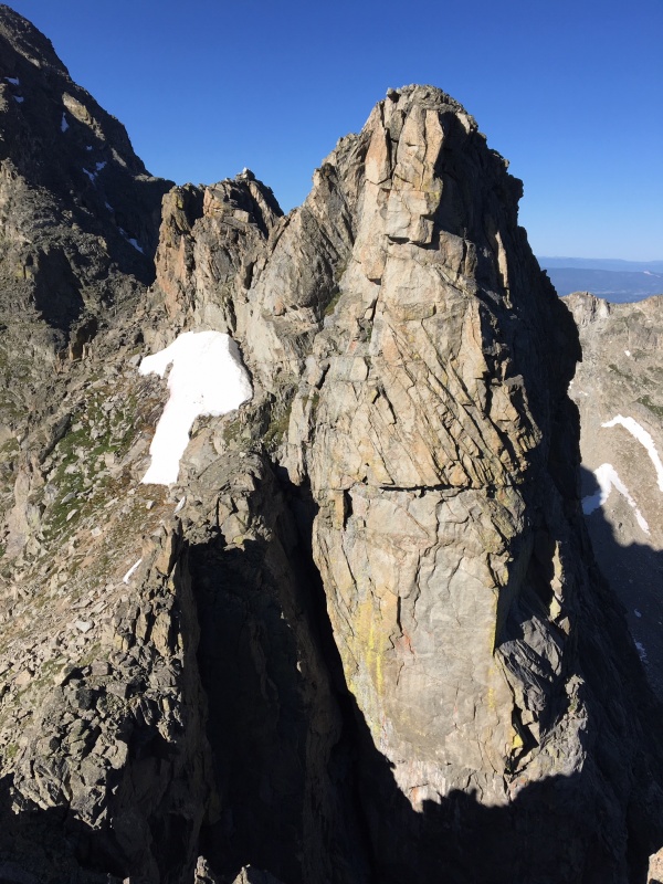
The Queen
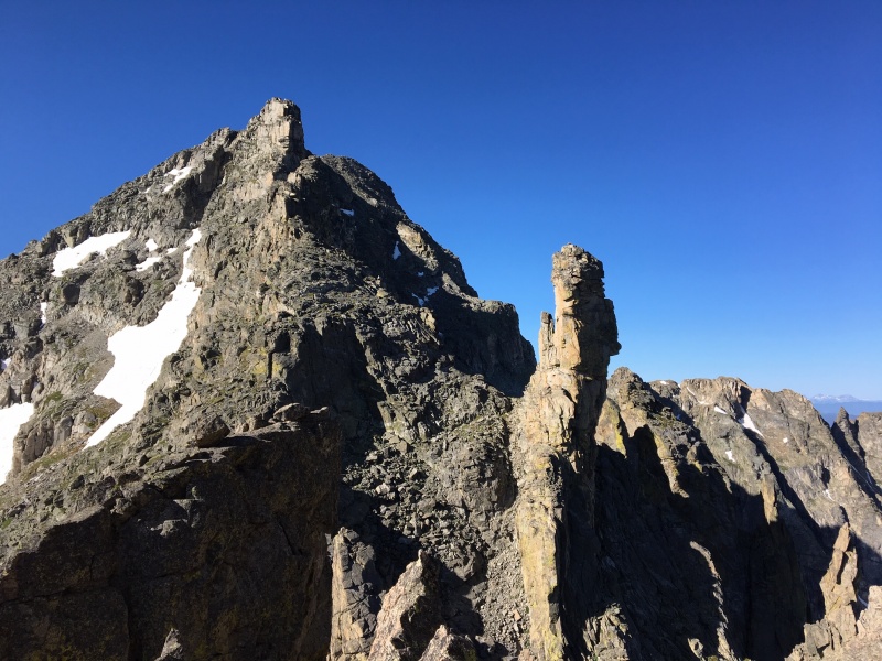
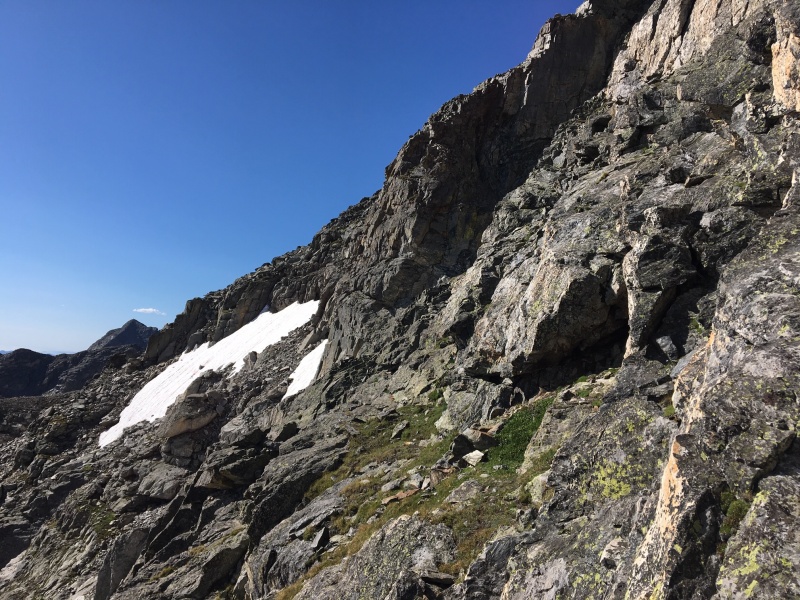
From there, I had to descend more than I initially thought I'd need to, and got cliffed out and had to backtrack a few times, to drop down into the Rook notch, the low point of the traverse. From here on, avoiding 5th class moves and avoiding summitting the Chessmen means defaulting to the east, not the west. There is also a route from here that stays 3rd class, apparently, but moves you pretty far off the ridgeline and dumps you onto Apache's east face, from which you can easily scramble to the summit. My goal was to stay as close to the ridge as possible so I didn't choose that option.
The King towering over the Rook
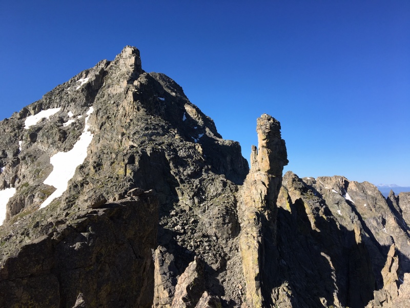
Just after leaving the Rook notch
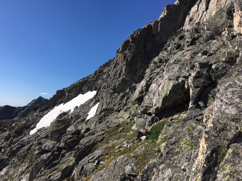
The entire traverse required full attention but the next section was the most attention-grabbing and technical for me. From here movement was mostly along angled grassy slopes and short chimneys of chossy rock. At one point I was bordering on 5th class, and the holds and moves felt solid, but the exposure is no joke. Eventually by just cautiously angling myself upwards I was able to find the path of least resistance. Before I knew it I emerged just above the King, the last Chessman before the Apache summit.
From left, the Queen, the White Knight, and Shoshoni's SW ridge extending to Shoshoni summit block on the right. Longs Peak photobombing just above and left of Queen.
Looking back at the King's Pawn, I believe
An easy talus scramble led to the peak. The views were phenomenal and refreshed me mentally. Overall, this first traverse required conscientious routefinding and careful movement, but was exhilarating. I never felt like I was taking undue risk, and I felt confident in the holds and moves. Still, a fall on certain stretches would have been extremely consequential.
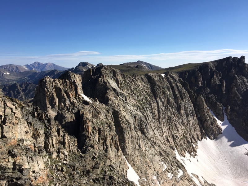
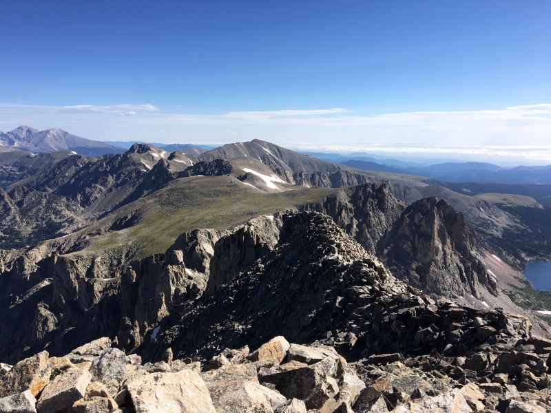
Looking east from Apache's summit
Looking NE from Apache's summit
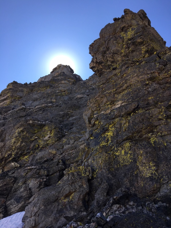
Prior to this outing I had done the most research on the S-A traverse since it seemed like the crux of the route. And it probably was, but summiting Navajo was just as difficult and routefinding felt a little more difficult (though Navajo doesn't take nearly as long). Even though there is apparently a way to keep it 4th class (see hyperlink in my first paragraph), I at one point found myself in a narrow chimney that required airy 5th class moves. I managed to do the same on the way down from the summit as well. Whoops.
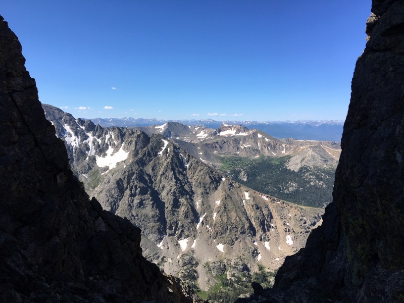
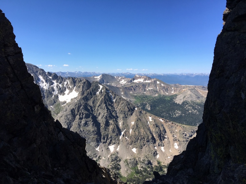
The view west between DP and Apache
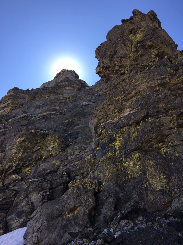
A bit more detail on the Navajo ascent: leaving Apache's summit, you stay on a high ridge before reaching a false summit. You descend from there into a col below Navajo, which is where Dicker's Peck is located. (I imagine Gerry Roach smirking to himself when he named this one.) I bypassed it and kind of just brailled my way up the Navajo north face. The rock here was very mixed -- good holds available but abundant choss. Place hands and feet with care. Same deal as the S-A traverse -- pay attention, choose your route judiciously, and you can avoid class 5. If attempting this entire thing, you should probably have some confidence in your ability to handle basic 5th class, since the odds of nailing the routefinding perfectly on the first try are low and you'll probably have to utilize manageable but slightly more technical moves at some point.
Navajo's haloed summit and DP
The Navajo summit block is tiny and rewarding. It is just a few dozen feet lower than Apache's, so the views are also spectacular. At this point the wind was sort of soul-crushing, and I had to get back to go to work later, which was more soul-crushing, so I didn't spend too long on the summit. A couple minutes later I was done with the class 4 for the day and headed to Airplane Gully for the descent.
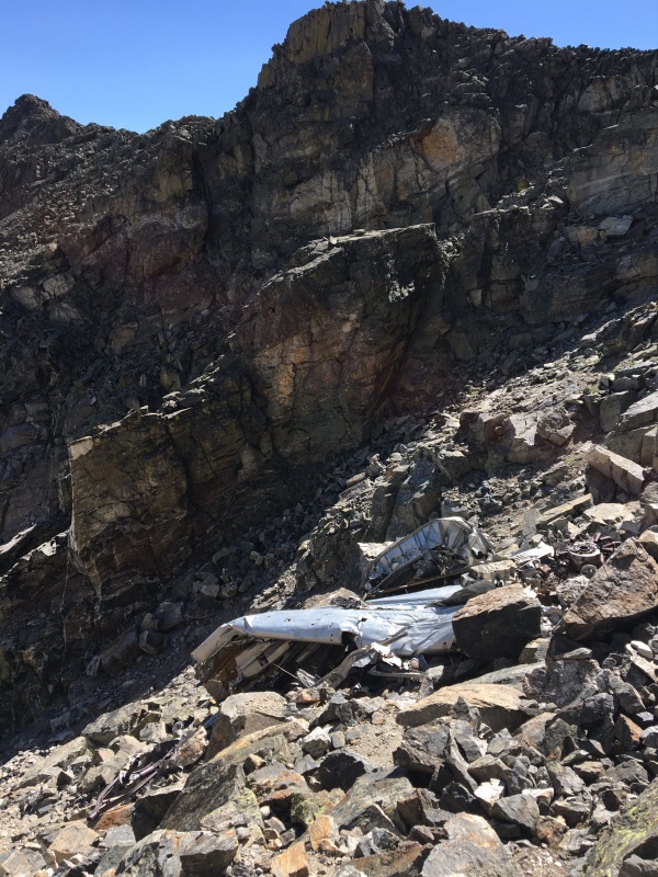
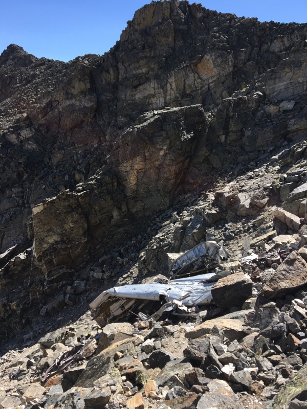
This scree chute was fairly straightforward. The terrain is somewhat loose. The debris from the airplane crash here 70 years ago was kind of spooky, I thought, as the mangled metal creaked plaintively in the wind.
Airplane carcass
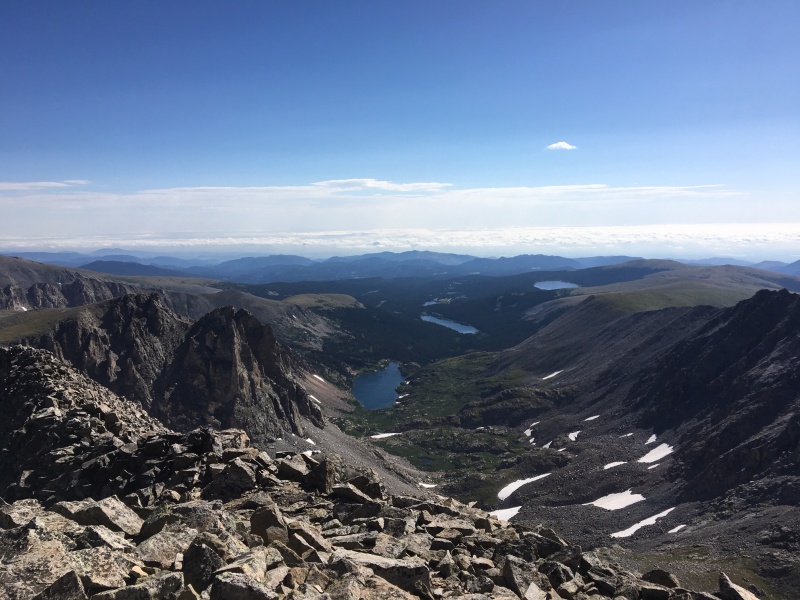
The gully releases you into an upper basin with some grass and some talus. This plateau is roughly the same altitude, maybe slightly lower, as Isabelle Glacier across the cirque. From here, there is one more fairly steep descent that brings you from here to the unnamed lake below Isabelle Glacier and above Isabelle Lake. It was on this descent that I finally made an error and got sort of banged up. I think my guard was down since the technical and mentally taxing traverse was over. I was sort of careless and took a tumble with some scree and battered my left knee and right leg and scraped up my hands. Nothing to do at that point other than just make it back to the car.
You rejoin the trail on the northern shore of the unnamed lake. Follow it and it brings you back to the Pawnee Pass trail and Long Lake Trailhead.
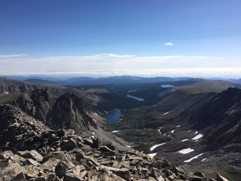
Looking east to Isabelle Lake
The Queen, Knight's Pawn, and White Knight, as framed by the Rook notch on the left and the notch to Shoshoni's SW ridge on the right
Additional resources and beta related to this route:
a fun climb. You did well in one trip (I did Navajo free up the North face from the snowfield and down Airplane Gully one day and Shoshone to Apache - Kasparov - a different day - stopping to do a few of the easier towers along the way). Such memorable climbs. Interesting I found the climb up Apache from the traverse to be the worst part of the climb (loose). Great trip report and photos.
to do it that way -- I was thinking it'd be nice to move a little slower and savor each portion a bit more. Those both sound like great outings. Interesting about the final ascent up Apache. Maybe we took slightly different routes. Happy exploring.
Caution: The information contained in this report may not be accurate and should not be the only resource used in preparation for your climb. Failure to have the necessary experience, physical conditioning, supplies or equipment can result in injury or death. 14ers.com and the author(s) of this report provide no warranties, either express or implied, that the information provided is accurate or reliable. By using the information provided, you agree to indemnify and hold harmless 14ers.com and the report author(s) with respect to any claims and demands against them, including any attorney fees and expenses. Please read the 14ers.com Safety and Disclaimer pages for more information.
Copyright: Route information, text, risk factors, maps, GPX files, charts, photos, 14ers.com-created map imagery, flythroughs, and other content provided in this route description are copyrighted by 14ers.com and may not be copied, reproduced, republished, distributed, modified, or used to create derivative works without prior written permission.
Please respect private property: 14ers.com supports the rights of private landowners to determine how and by whom their land will be used. In Colorado, it is your responsibility to determine if land is private and to obtain the appropriate permission before entering the property.