Download Agreement, Release, and Acknowledgement of Risk:
You (the person requesting this file download) fully understand mountain climbing ("Activity") involves risks and dangers of serious bodily injury, including permanent disability, paralysis, and death ("Risks") and you fully accept and assume all such risks and all responsibility for losses, costs, and damages you incur as a result of your participation in this Activity.
You acknowledge that information in the file you have chosen to download may not be accurate and may contain errors. You agree to assume all risks when using this information and agree to release and discharge 14ers.com, 14ers Inc. and the author(s) of such information (collectively, the "Released Parties").
You hereby discharge the Released Parties from all damages, actions, claims and liabilities of any nature, specifically including, but not limited to, damages, actions, claims and liabilities arising from or related to the negligence of the Released Parties. You further agree to indemnify, hold harmless and defend 14ers.com, 14ers Inc. and each of the other Released Parties from and against any loss, damage, liability and expense, including costs and attorney fees, incurred by 14ers.com, 14ers Inc. or any of the other Released Parties as a result of you using information provided on the 14ers.com or 14ers Inc. websites.
You have read this agreement, fully understand its terms and intend it to be a complete and unconditional release of all liability to the greatest extent allowed by law and agree that if any portion of this agreement is held to be invalid the balance, notwithstanding, shall continue in full force and effect.
By clicking "OK" you agree to these terms. If you DO NOT agree, click "Cancel"...
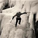
| Hell March Part 2 |
The numbers:
Mileage: ~18
Elevation gain: ~7500
Antero West Slopes:
Start - 10:15pm
Summit - 12:40am
Back at car - 3:15am
Tabeguache West Ridge:
Start - 5:30am
Summit - 9:30am
Back at car - 1:45pm
I wanted to polish off the Sawatch range and Dan wanted to have a big day so we decided to combo Antero/Tabeguache. Or initial plan was to drive to the river crossing on Antero, camp, then start at 3 or 4am. We were having dinner and beer at Eddyline in Buena Vista when I blurted out "Hey why don't we just start when we get up there?". Dan was all about that idea since there is something wrong with both of us.
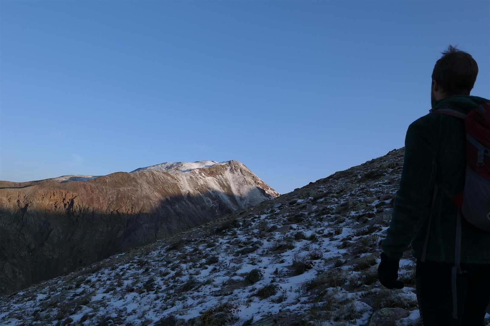
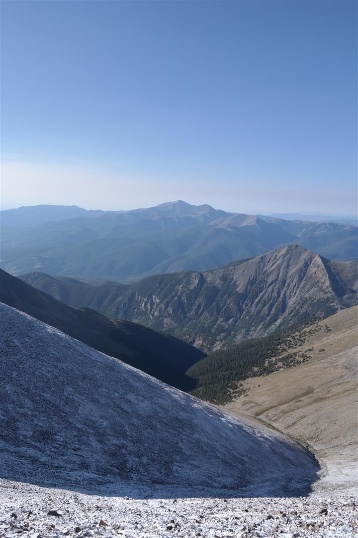
I forgot my credit card at the restaurant and we were on our way to Antero. The road up to the river crossing had a few spicy sections. I drive an Xterra and it required some careful driving and determination in these parts. I was able to get up it, however, and the river crossing was nothing at all. We parked right past this section and began the slog up Antero. Near the start of the final summit ridge push (image 20 in the West Slopes description) we took a left instead of a right. After a few minutes we were unsure of that decision and checked the GPS and realized our error and backtracked to the proper turn.
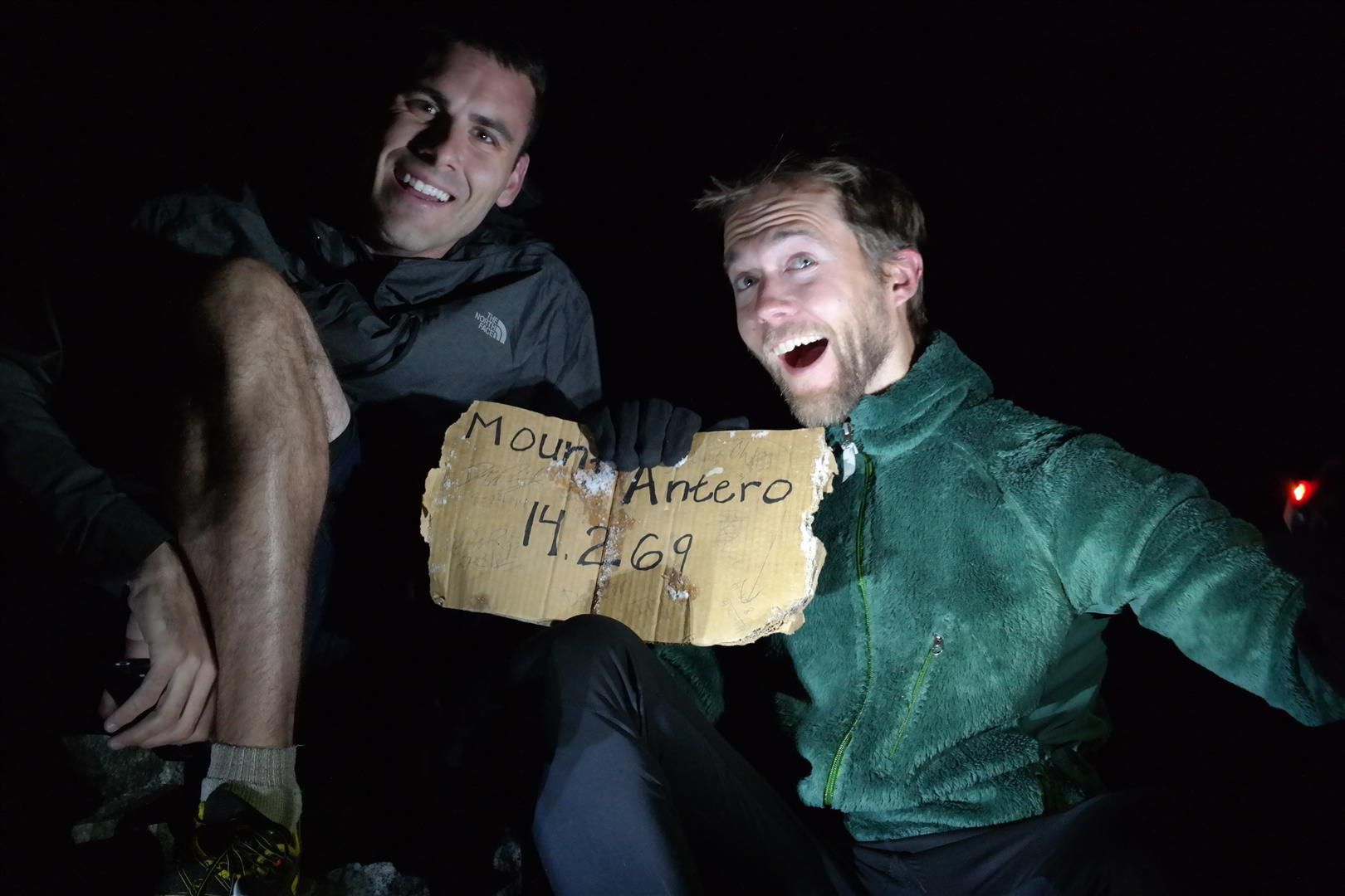
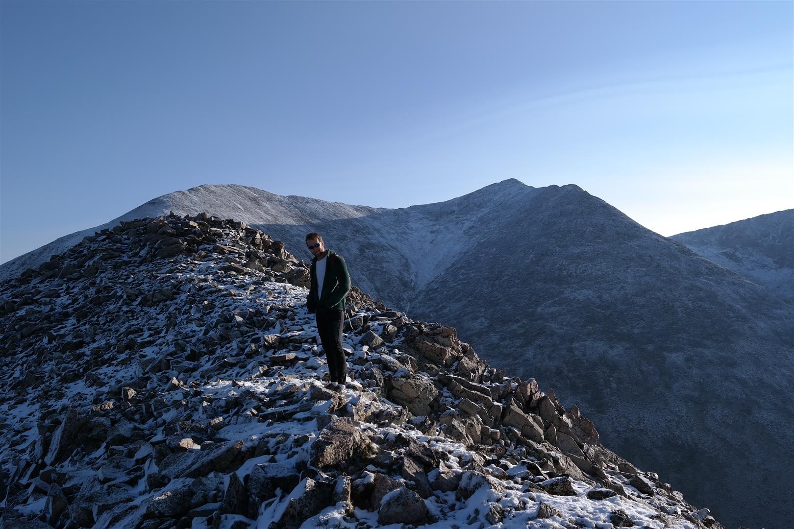
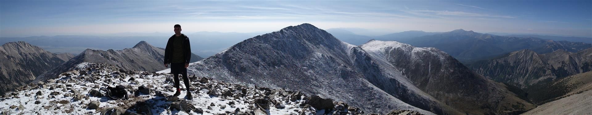
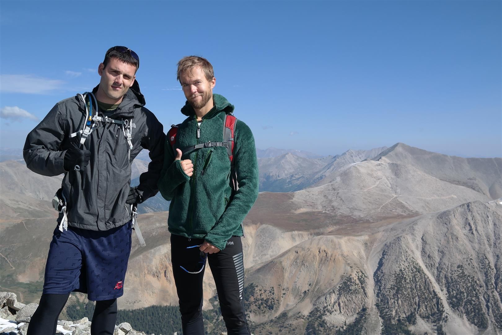
After some talus hopping we were on the summit at roughly 12:40. Dan was excited to summit Antero for the 3rd time, just take a look..
After taking in the amazing views, we started down. Once past the talus hopping and back on the road we started our run back to the car. We were so in the zone that we took yet another wrong turn on the road. After another GPS consultation we fixed this issue and worked our way back to the correct road. After we started running again Dan said "your pack sure does sound loose!" I agreed, it was flopping all over the place! After a few more minutes of running like this I took a look. Yep, I had forgotten to zip my pack. I noticed my brand new Samsung compact mirrorless camera had fallen out along with a pair of pants. Great!
We started backtracking for the camera and after a minute we found my pants laying in the middle of the road. Good sign. After a few more minutes we stumbled upon my camera case in the road. I was elated and quickly tested the camera to make sure it still functioned, it did. $10 camera case most likely saved my camera. Once again, we started our way back to the car and arrived back a little after 3.
We began the drive from the Antero river crossing to the obscure "trailhead" of the West Ridge route of Tabeguache. Little did we know that it would take two full hours to drive this. We ended Antero chock full of energy and the longgggg two hour car ride zombified both of us, I was actually concerned that I didn't have it in me to do Tabeguache. I had put the coordinates for the "trailhead" on to my phone prior to the trip so I assumed we would have no issue finding it. Wrong! We slowly drove by the marker on the GPS and saw no trailhead. Did I enter in the wrong coordinates??? We turned around and on the return past the GPS waypoint we were easily able to see the start of the trail. Weird. We parked and pounded down as many calories and liquids as we could possibly stuff down our throats.
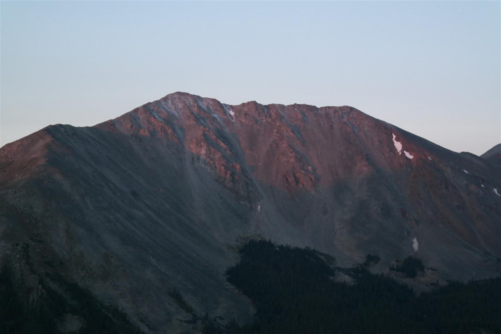
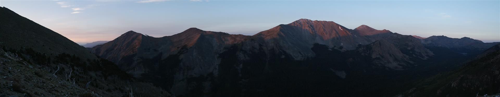
Shortly after starting up we were both shocked at how good the trail was. Nice log steps in places, even! Such a great trail I turned off the GPS and didn't once look at it to double check that we were headed the correct way. Once out of treeline we took in the alpenglow of the surrounding peaks and I checked the GPS out of curiosity. Turns out that we royally screwed up and ended up on the old southwest ridge route, exactly what we were trying to avoid. We debated on what to do and decided that we would do more damage to the slope back to treeline by descending so we ended up hopping on the southwest ridge and taking it all the way down to link up with the route on Pt. 13,936.
Please learn from our mistake! If you zone out and put yourself on cruise control it's VERY easy to end up on the southwest ridge route that is now closed instead of the standard west ridge route. We saw no markers going up the trail, take extra time to study the west ridge route, especially photo 3 on the route description by Bill. It's VERY easy to make this mistake in the dark, study the map/route very well ahead of time and have an idea for when you should be splitting off the trail. If using a GPS, check it. Don't assume (like we did) that since it was a solid trail that it's correct.
Some pics headed up Tab:
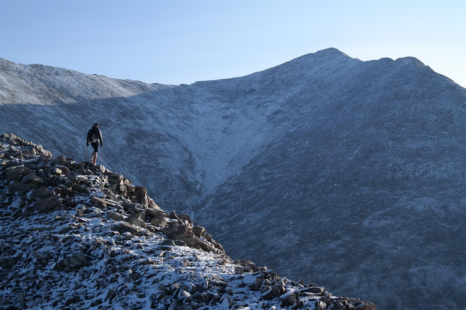

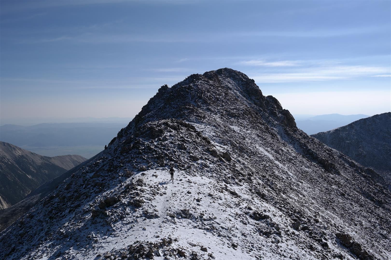

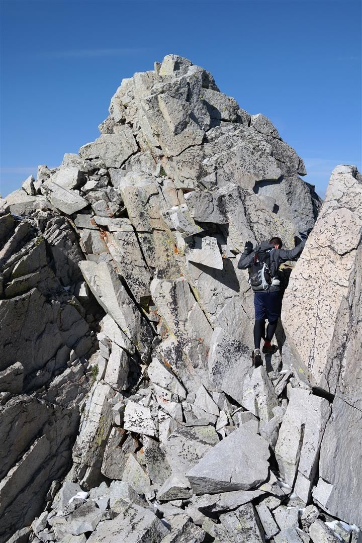
There was minor snow coverage from the start of the southwest ridge all the way through the summit of Tabeguache. Shavano had a nice blanket on it as well. We make our way to the couple up-and-downs before the summit of Tabeguache and decided we would like some scrambling for a change and added in some class 3 stuff over the tops of these bumps on the ridge crest.
Some of the class 3 stuff:
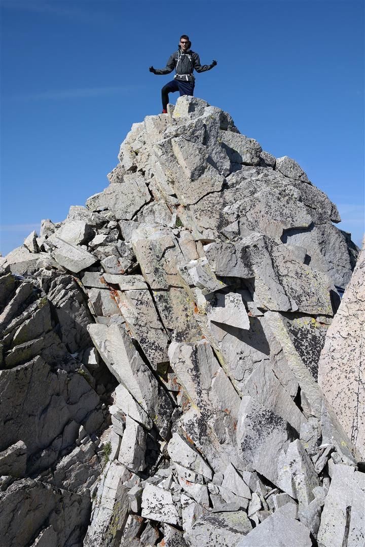
We topped out at 9:30 and were joined by another hiker that had ventured over via Shavano, the first other person we had seen. We took some photos of the summit views, flipped off Antero, ate a bag of sour patch kids, and started back down.
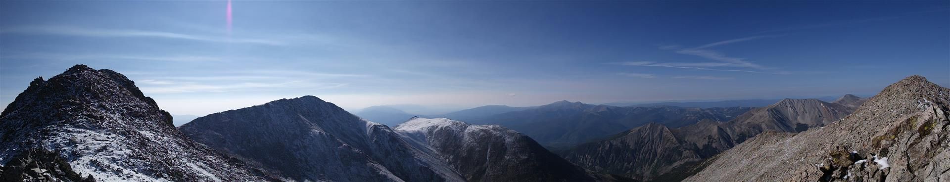
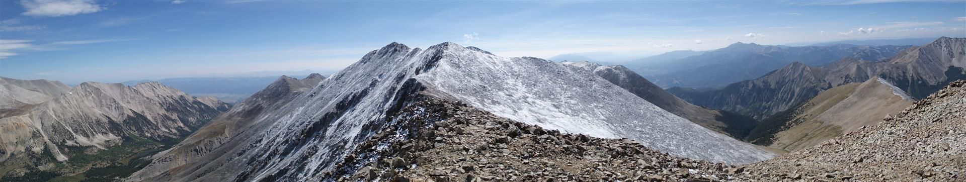
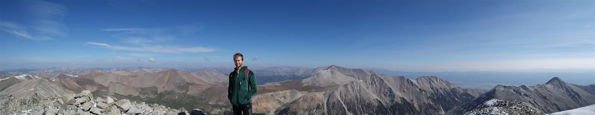
Summit photos:
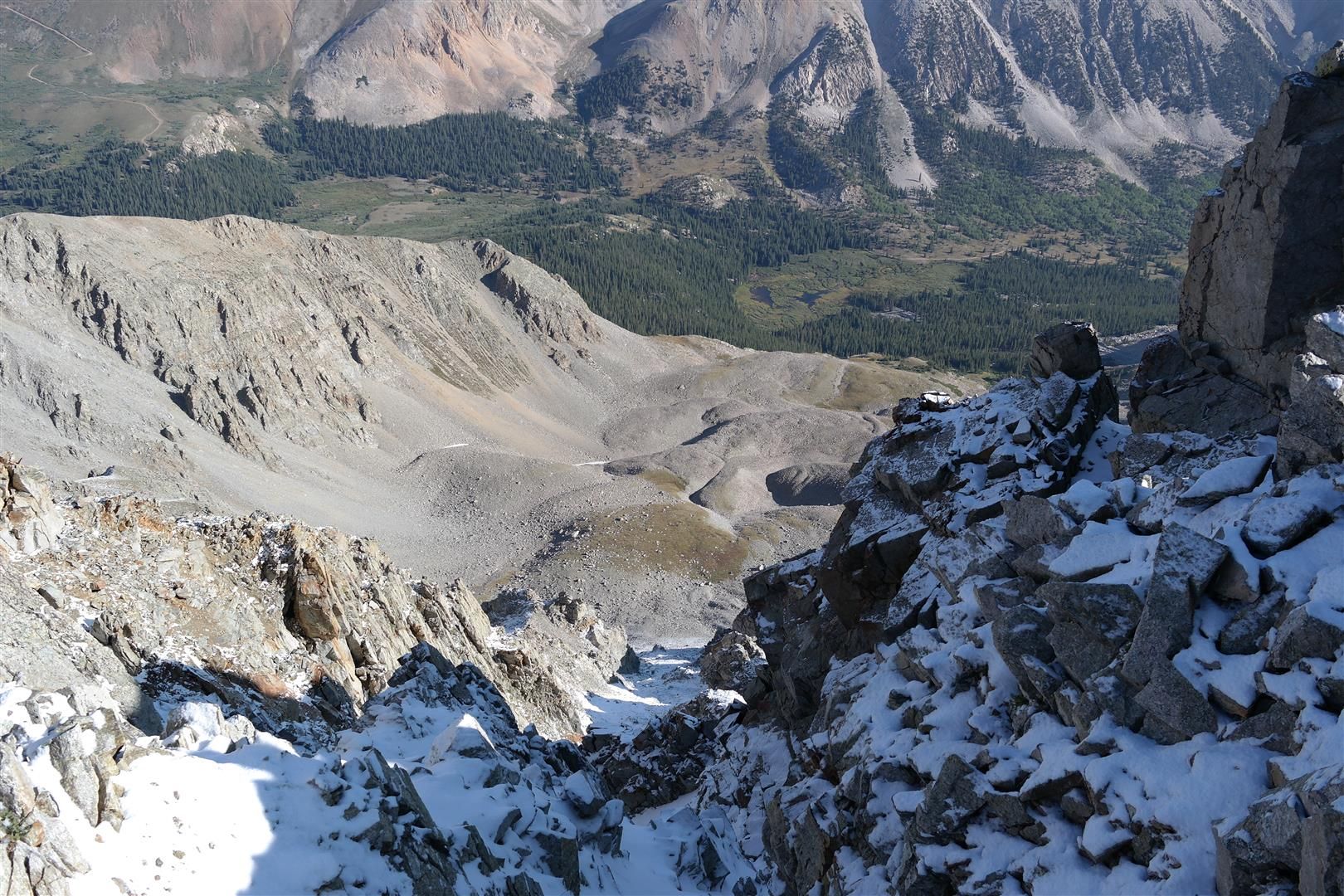
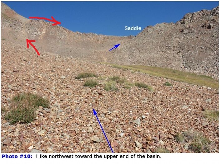
On the descent we made triple sure to take the correct route down to avoid what had happened earlier in the day. We took a very lackadaisical descent taking lots of photos. Once on the saddle ridge that links the saddle with the valley below we took a nice long break and were trying to decide the best way down. The route description had us descending a very chossy, somewhat steep, gully. I was about to have no part of that and Dan with his amazing route finding skills spotted a gentler slope down at the very end of the saddle.
Follow the red arrows to avoid a Challenger-esque chossy slope from Hell:
Once in the valley we navigated our way down hugging the rocks and getting scraped by a few willows. From what we saw, there are few cairns (well, one more now) and absolutely no trail from the bottom of the saddle all the way back to image 3 of Bill's route description. It's a solid mile of choose-your-own adventure type route finding. If you follow the route description advice of staying right next to the talus you will be just fine. Linking up with the trail that takes you back to the "parking lot" requires some patience as it's not that easy to spot.
We made our way back to the car at 1:45pm and just as the clouds were turning gray and the rain was imminent we cracked open our Dew/Beer and laughed about how much fun we just had torturing our bodies. Despite all of our setbacks we had accomplished what we set out to do and agreed that there was something to be said for that. Other than some fatigue we were both feeling rather well on our drive back to Eddyline to pick up my credit card.
Feeling so well that we started throwing out ideas of 10k+ days, etc. Must have been altitude sickness.
|
Caution: The information contained in this report may not be accurate and should not be the only resource used in preparation for your climb. Failure to have the necessary experience, physical conditioning, supplies or equipment can result in injury or death. 14ers.com and the author(s) of this report provide no warranties, either express or implied, that the information provided is accurate or reliable. By using the information provided, you agree to indemnify and hold harmless 14ers.com and the report author(s) with respect to any claims and demands against them, including any attorney fees and expenses. Please read the 14ers.com Safety and Disclaimer pages for more information.
Please respect private property: 14ers.com supports the rights of private landowners to determine how and by whom their land will be used. In Colorado, it is your responsibility to determine if land is private and to obtain the appropriate permission before entering the property.