Winter Dayhike: Mt. Evans
Approach: Duck Lake, Guanella Pass Road
Date: 2-11-12
Length: 14 miles RT
Vertical: 3700 feet
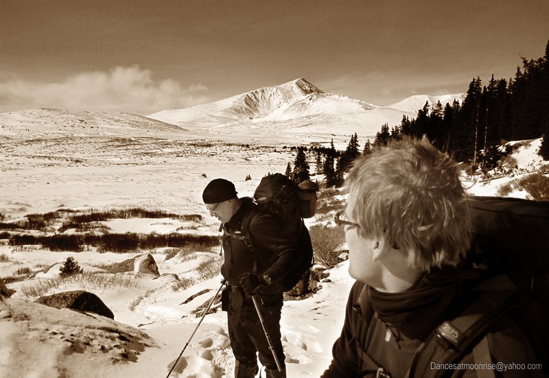
Ascent Party: Greg, Andy, Jim
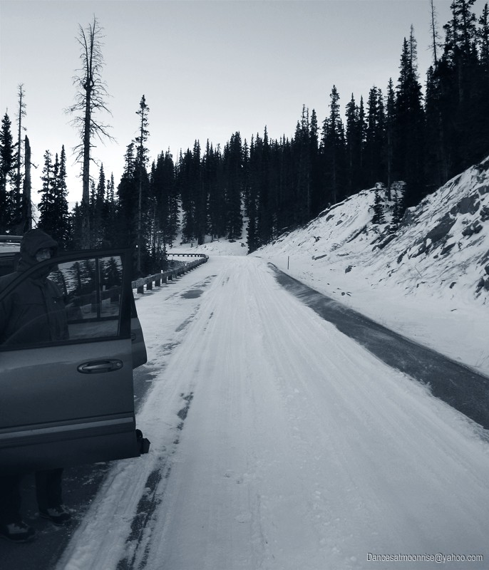
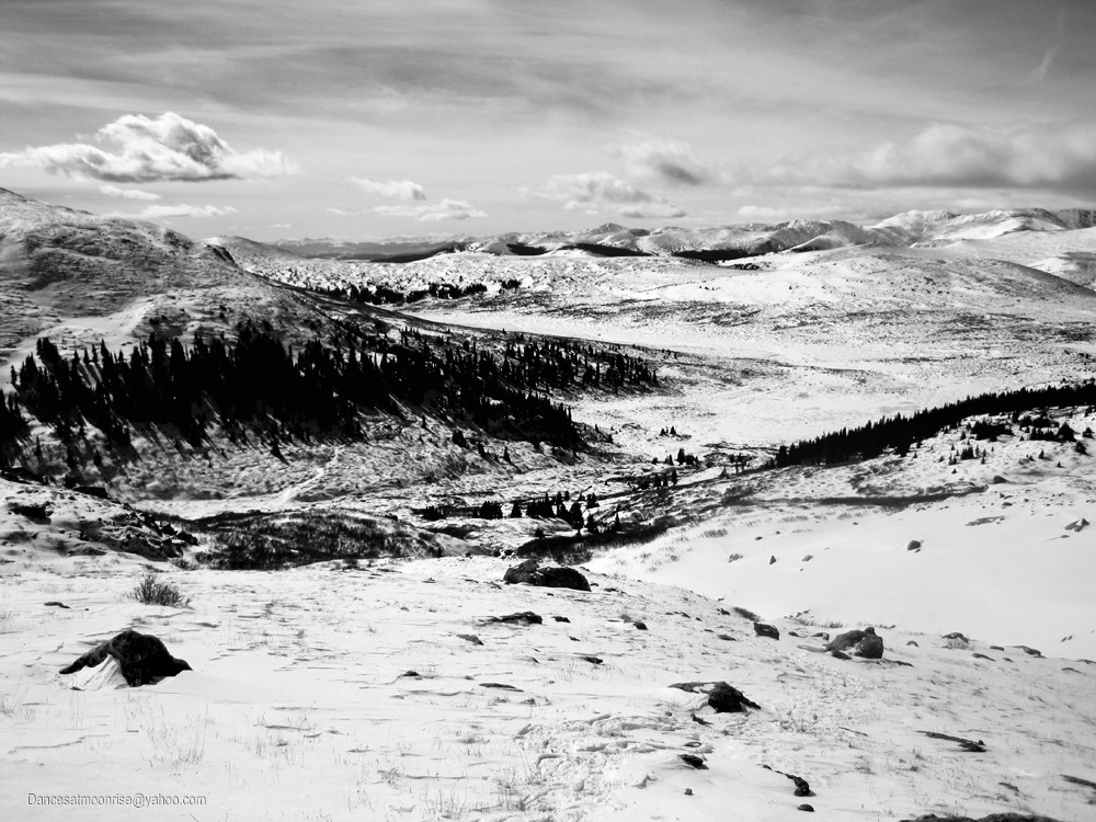
Avalanche risk has been considerable over the last three to four weeks this winter, so there was some concern for approach from the Georgetown side, where one would have to travel below a steep NE-facing slope near treeline. Steep, NE, and treeline have been problematic in the area, so we opted for the Grant side. After some inquiries we learned that the road should be more or less clear to the usual Duck Lake closure. We found about four inches of snow starting at the six to seven mile point, which presented little difficulty. The switchbacks were dry. There were drifts at the corner below Duck Lake, so we turned around and parked the cars on the last good stretch, which was at about the 10.5 mile point, or about a half mile below the usual Duck Lake gated closure.
Starting the day's drive in the pre-dawn freezing drizzle nearly derailed plans. We chose to wait it out and give it another shot after an hour, knowing we'd be getting a late start. We snowshoeing up the road at 9:30 am.
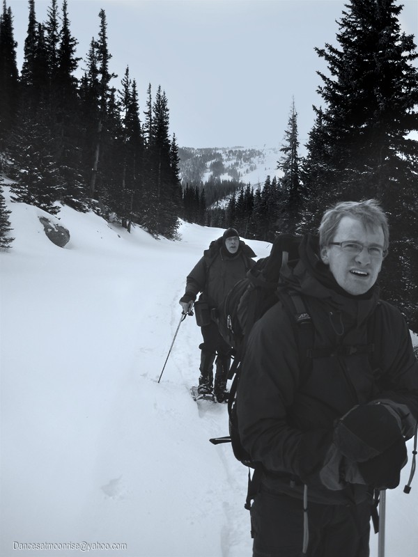
There was some theoretical concern for remote triggering below steep west-facing slopes on the road, but the snowpack was fortunately discontiguous across the road, alleviating concerns, though we still carried avy gear for the remainder of the day's trip.
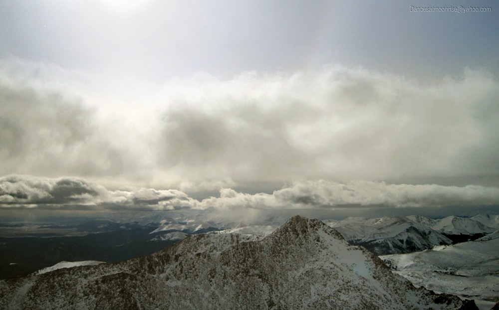
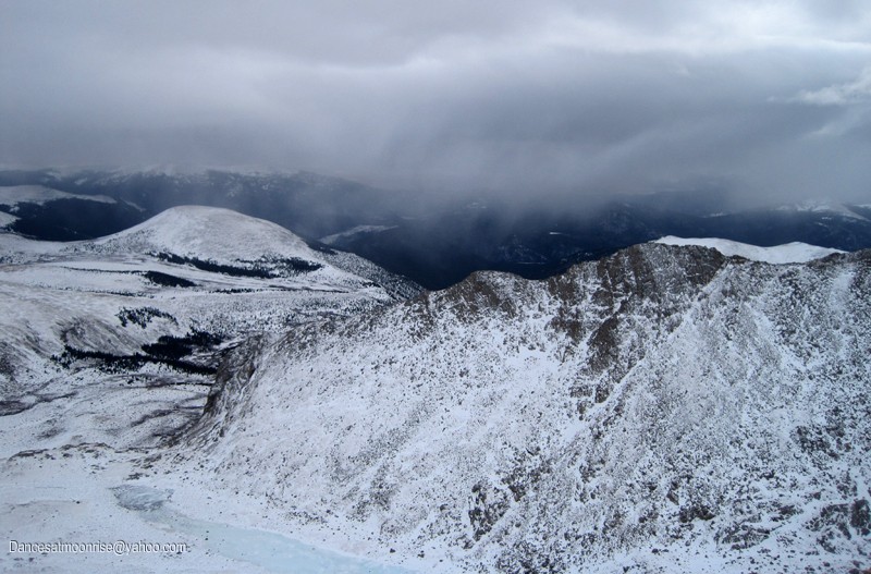
Weather looked somewhat threatening throughout the day. None of us had a GPS, so we were anticipating pushing map and compass skills to the limit in the event of a white out, and were hoping to be back down before dark if weather came in.
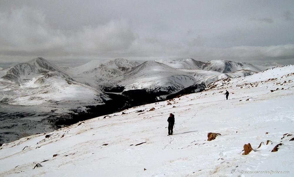
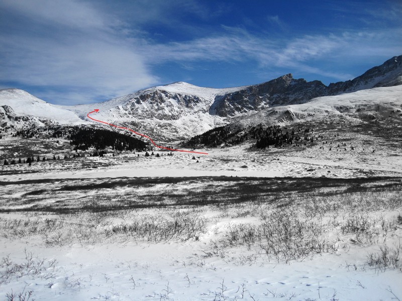
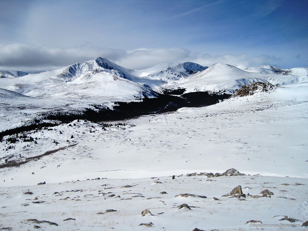
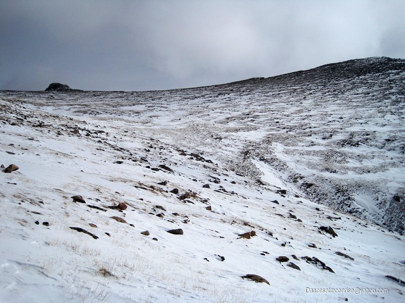
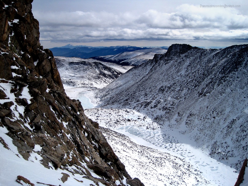
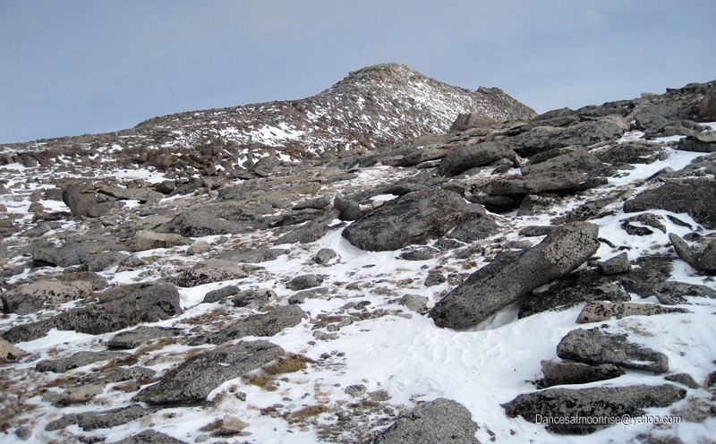
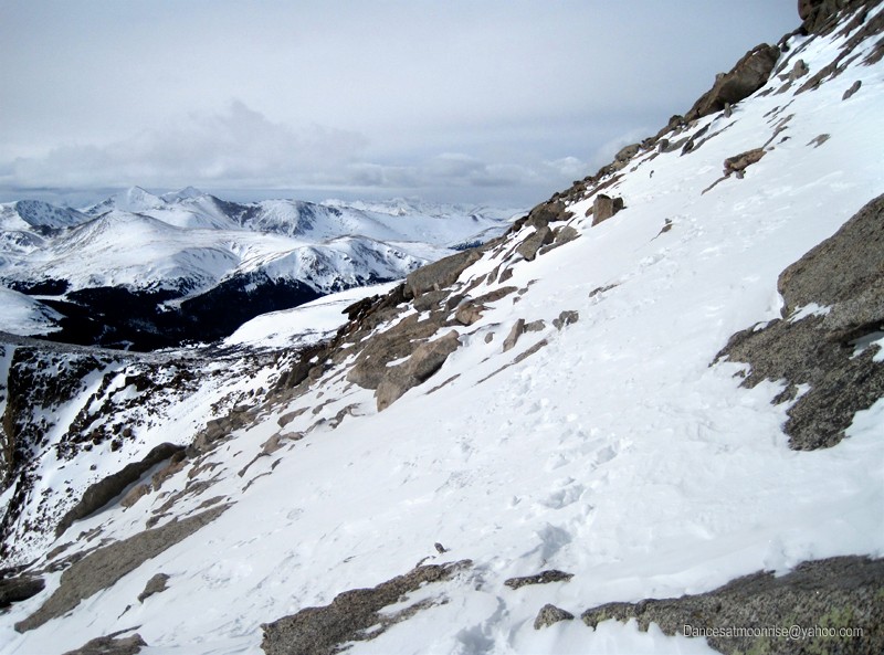
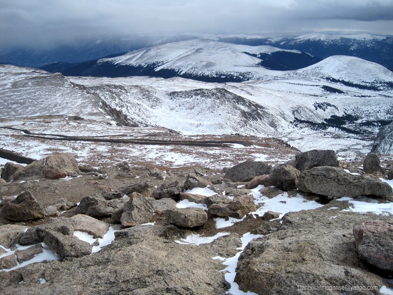
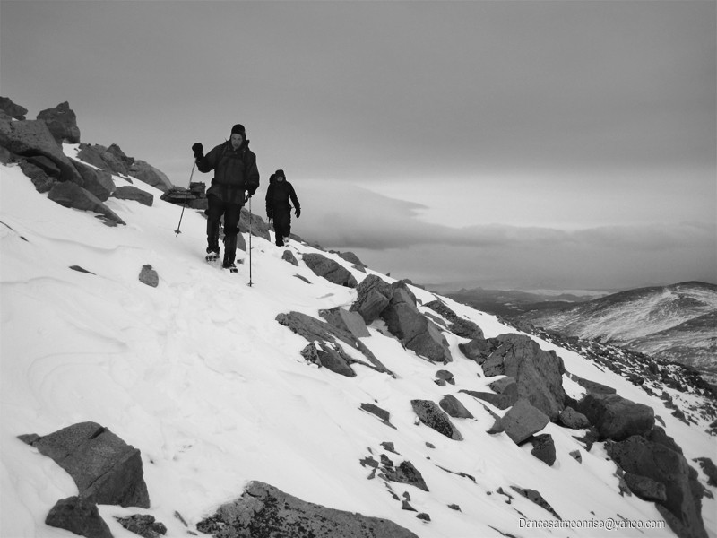
At the summer TH, three reasonably avy-safe lines presented. We chose the line to the right side of the Gomer gulley. We were soon to learn that the route Brad's crew took the day before coincided with our plans. Thanks, Brad! During the ascent, we did have some post-holing in the willows, but there were no tactile or audible clues to instability. We encountered a minimum of snow in the alpine on this route.
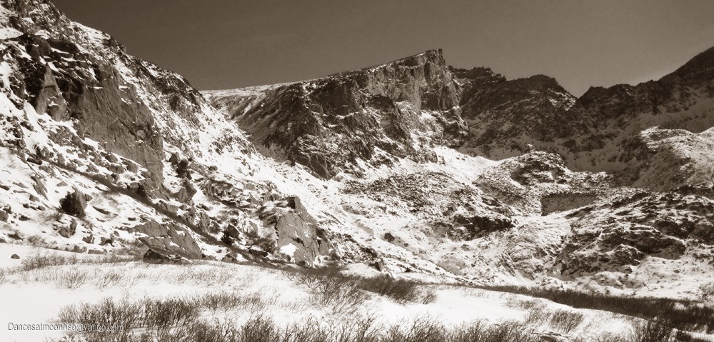
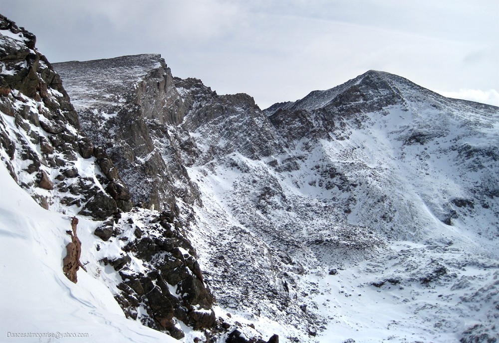
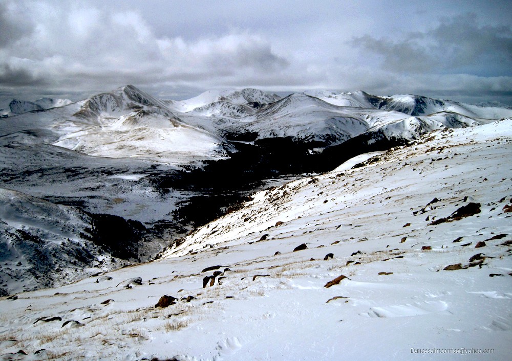
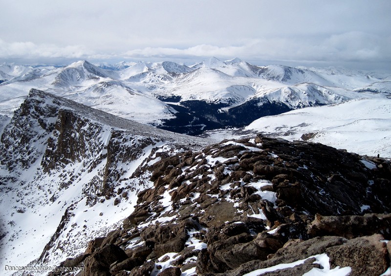
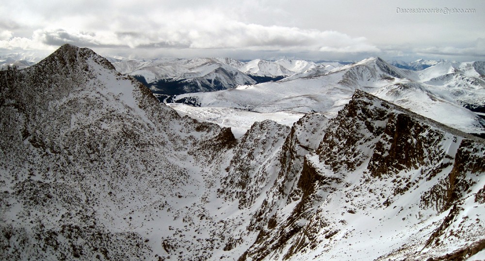
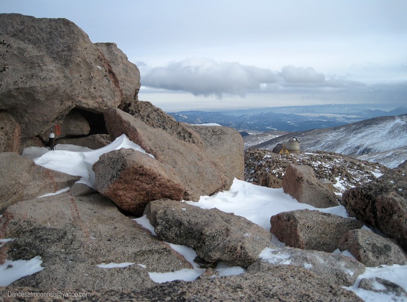
With reasonable visibility, the point at about 13,900 could be easily seen to guide the way up the slopes and onto Evan's summit ridge. Taking the ridge directly would be time consuming and involve a greater degree of technical difficulty. Large cairns are easily visible on the south aspect of this west summit ridge. Most of the route follows along the south side, below the actual ridgecrest. The ridge seems longer than it is.
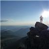
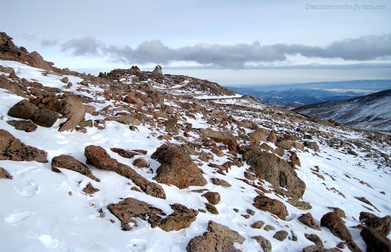
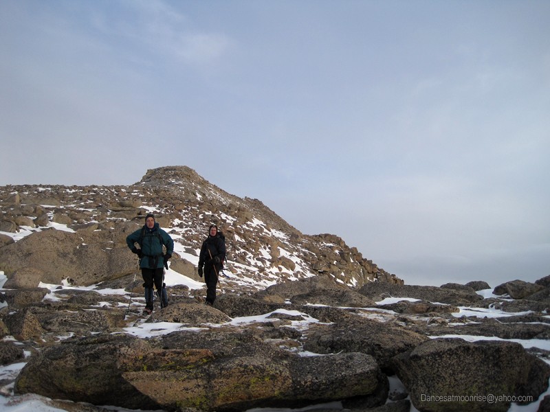
Curiously, when one reaches the road and the buildings, one is not on the actual summit, which is perhaps another 50 vertical feet above and to the west of the buildings. My only ascent of Evans was a bike race many years ago. It occurred to me that today could actually have been my 14er finisher, if I did not go all the way to the summit back at the time of the bike race. Hmm... a winter finisher after all?
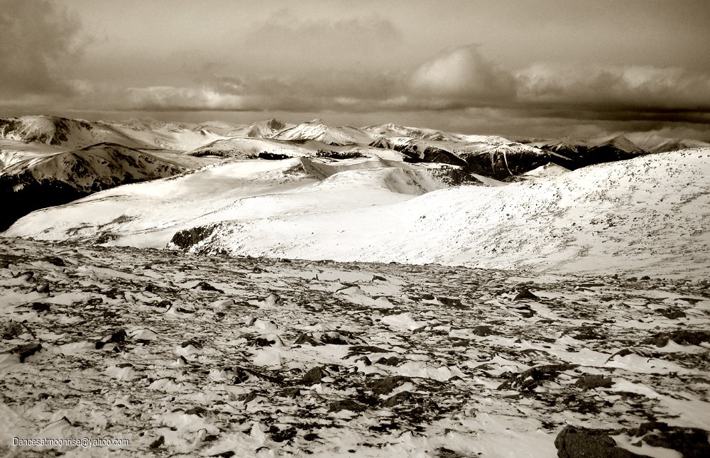
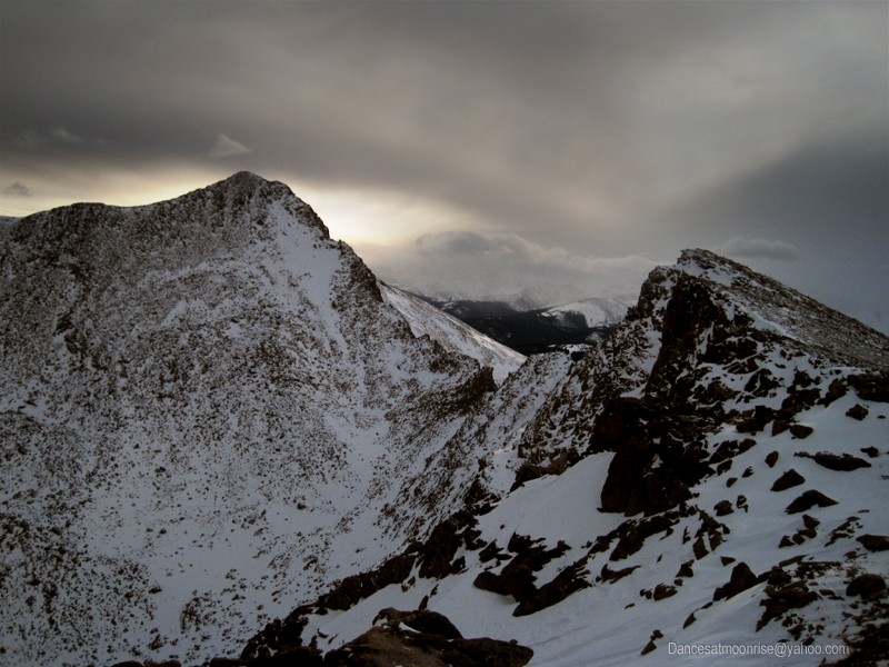
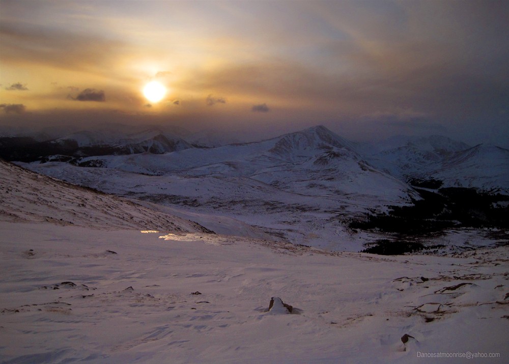
Weather threatened most of the day, and with the late start, things were looking fairly dark on the summit. I was virtually certain we'd be finding our way back in a white-out. Or worse, a black-out. No moon in the sky, either. No matter, we had a great, level-headed crew and I was sure we'd be fine.
Not unexpectedly, it got dark before we were down to the pass, though we did manage to get off the summit ridge before sundown. Sunset in the clouds gave us some fine views and photos, and to our surprise, the evening then became clear, warm, and calm. We made it back to the cars by about 7:30 pm, for roughly a ten-hour round trip.
Anyone who is interested in this route, the track is fairly solid at this time, though you will likely want snowshoes for the willows. Snowshoes can be stashed upon leaving the willows in the upper Gomer drainage area.
.
|