Download Agreement, Release, and Acknowledgement of Risk:
You (the person requesting this file download) fully understand mountain climbing ("Activity") involves risks and dangers of serious bodily injury, including permanent disability, paralysis, and death ("Risks") and you fully accept and assume all such risks and all responsibility for losses, costs, and damages you incur as a result of your participation in this Activity.
You acknowledge that information in the file you have chosen to download may not be accurate and may contain errors. You agree to assume all risks when using this information and agree to release and discharge 14ers.com, 14ers Inc. and the author(s) of such information (collectively, the "Released Parties").
You hereby discharge the Released Parties from all damages, actions, claims and liabilities of any nature, specifically including, but not limited to, damages, actions, claims and liabilities arising from or related to the negligence of the Released Parties. You further agree to indemnify, hold harmless and defend 14ers.com, 14ers Inc. and each of the other Released Parties from and against any loss, damage, liability and expense, including costs and attorney fees, incurred by 14ers.com, 14ers Inc. or any of the other Released Parties as a result of you using information provided on the 14ers.com or 14ers Inc. websites.
You have read this agreement, fully understand its terms and intend it to be a complete and unconditional release of all liability to the greatest extent allowed by law and agree that if any portion of this agreement is held to be invalid the balance, notwithstanding, shall continue in full force and effect.
By clicking "OK" you agree to these terms. If you DO NOT agree, click "Cancel"...
Day two of our Peakbagging weekend saw Bierstadt and Evans via the Sawtooth. I know this TR is also a week late but I'm hoping it'll help those who want to try the traverse in the near future. Wait, what's the deal with the Guanella Pass road and construction, when is it open?
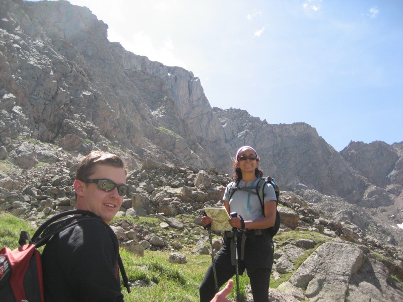
We left the trailhead at 4:15am, and ran into Noelle who joined us for the entire day. It was her first class 3 and she did awesome!
The Bierstadt trail is easy to follow and features very good footing. A little sore from our big Saturday, we reached the summit at 6:15am. It was another beautiful morning in the Front Range.
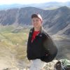
Reaching the Bierstadt summit
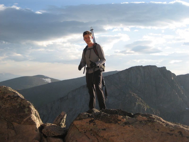
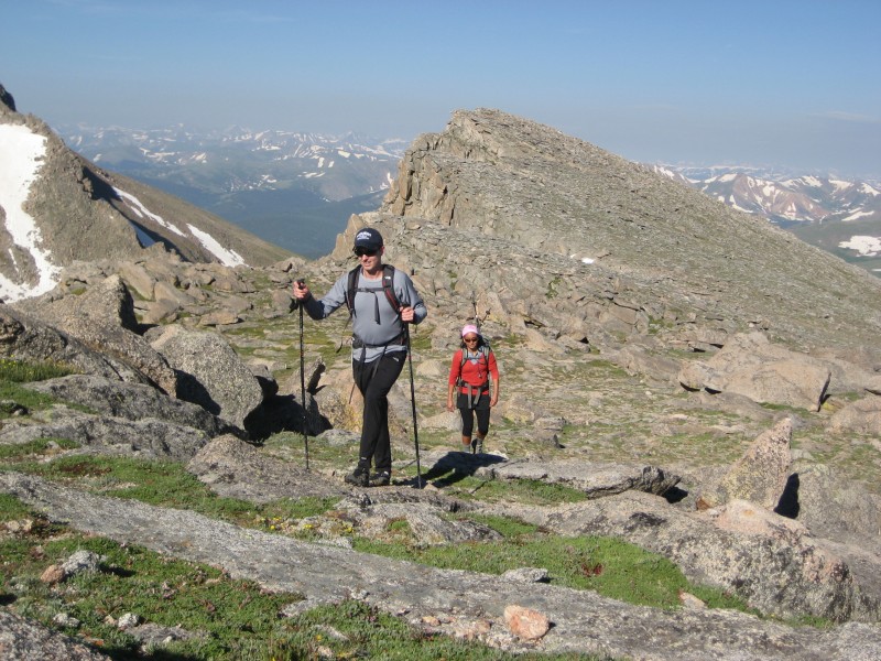
Tyler and Noelle on a beautiful morning
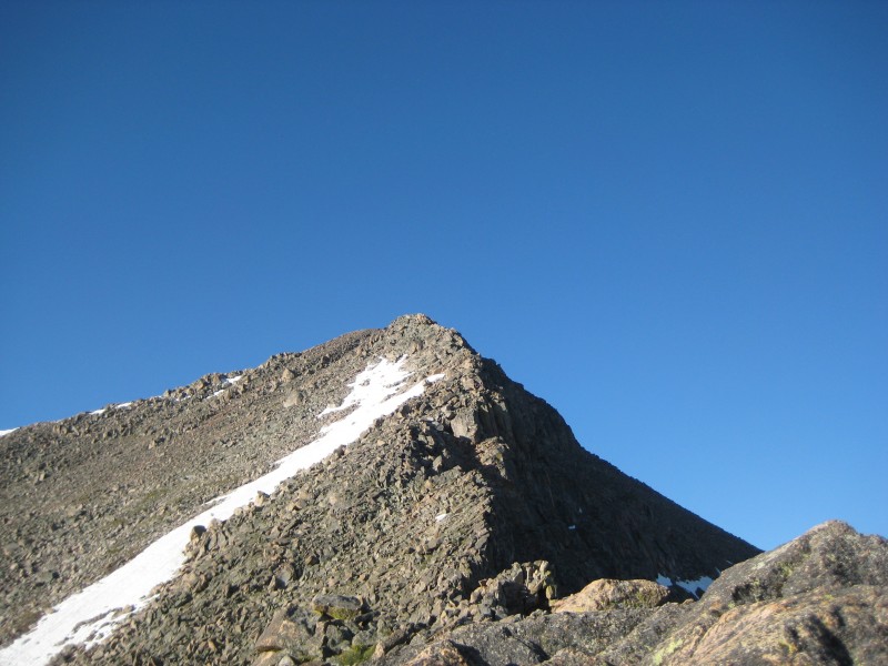
I've done class 5 before, but the Sawtooth looked a little intimidating from the summit. However, once we started down it unfolded into a fairly straightforward traverse that we didn't think was all that challenging. Very fun though! First view of the Sawtooth from Bierstadt
Front Range waking up
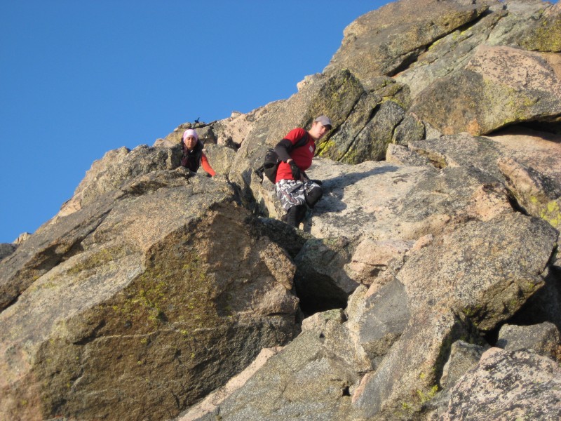
Scrambling down good rock from the Bierstadt summit
The descent from Bierstadt was simple, and there were cairns the entire way. Some good talus hopping and two small snowfields to cross that are probably melted by now. While there is big exposure on the left side of the ridge, you are never forced to get very close to it as you meander through the rock.
Nearing the lower portion of the ridge
Tyler loving the fun scrambling on good rock!
It is fun to lean over the edge as long as you don't get too close!
There is exposure to the left but you are never forced to get too close to the drop
Looking back up to Bierstadt
The big gendarme is pretty straighforward as well, and there are two ways around it as depicted in the route description on this site. We stayed left and never climbed near the top of it. Eventually you come around to the other side and the ledge traverse stares you in the face. It looks like a loose nightmare but actually isn't bad once you get to it.
Approaching the ledge traverse
I can see how the ledge would give some people shivers if you are uneasy about exposure, but it was a very fun climb. The broader, looser section near the end seems to have a few different routes, and this picture makes it look worse than it actually is.
Climbing up the ledge.
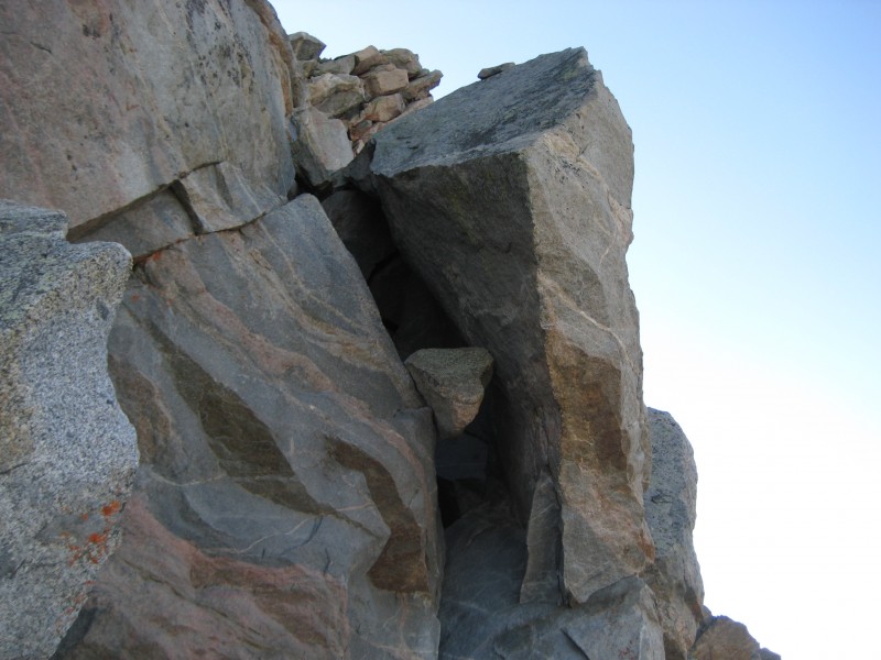
How does this happen?
An interesting situation...
We rounded the corner coming off of the ledge traverse and the broad summit plateau of Evans lay before us. Initially there is no trail, but the ground it tame and we made quick time along the ridge, eventually picking up the trail as we headed for Evans.
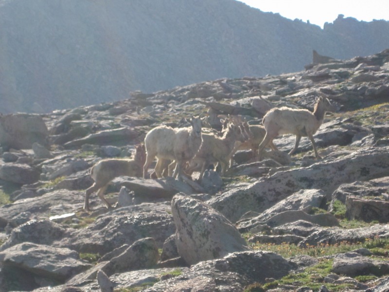
Some of the local residents.
Cruising up the plateau below Evans.
Eventually you reach a trail junction where the route drops right around the ridge. It doesn't loose much elevation, and there is a good trail from here around to the true summit of Evans.
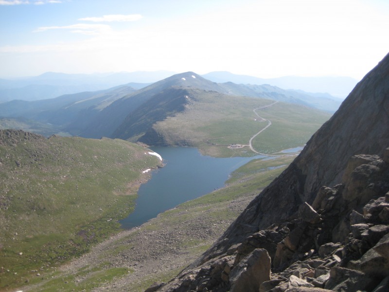
Summit Lake
After traversing below the ridgeline, we rounded a corner and knew the summit was close:
Eventually you come around a corner and see this.
It was this kind of weekend.
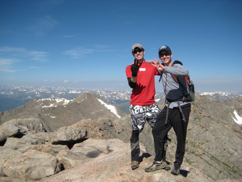
7 peaks in 29 hours!
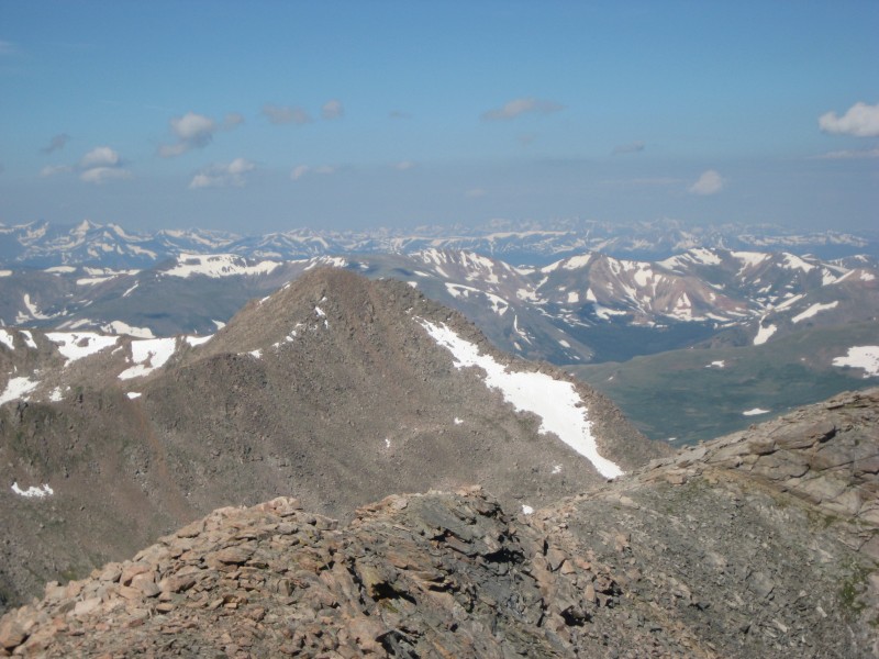
Looking back at Bierstadt from Evans
There has been lots of activity on the forum regarding the descent from Evans back to Guanella Pass, and it is pretty much as described on this site. We descended the plateau toward the natural gully, where there was a good yet somewhat loose trail the whole way down. When the gully finally ends, the trail contours left and weaves through the hot, wet, buggy willows until it joins the main Bierstadt trail. It was very wet and muddy, but relatively easy to follow. Unfortunately I didn't take any pictures during this section.
At the bottom of the gully
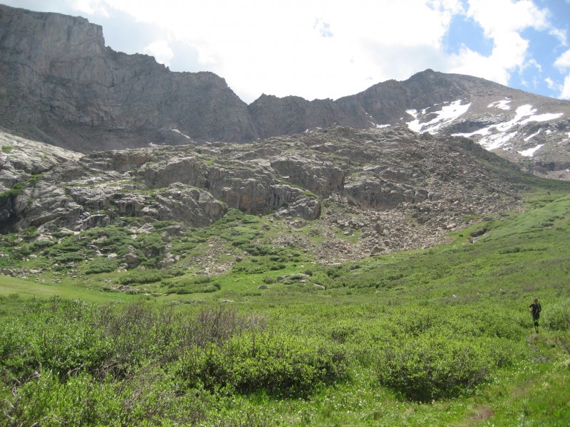
This basin is beautiful
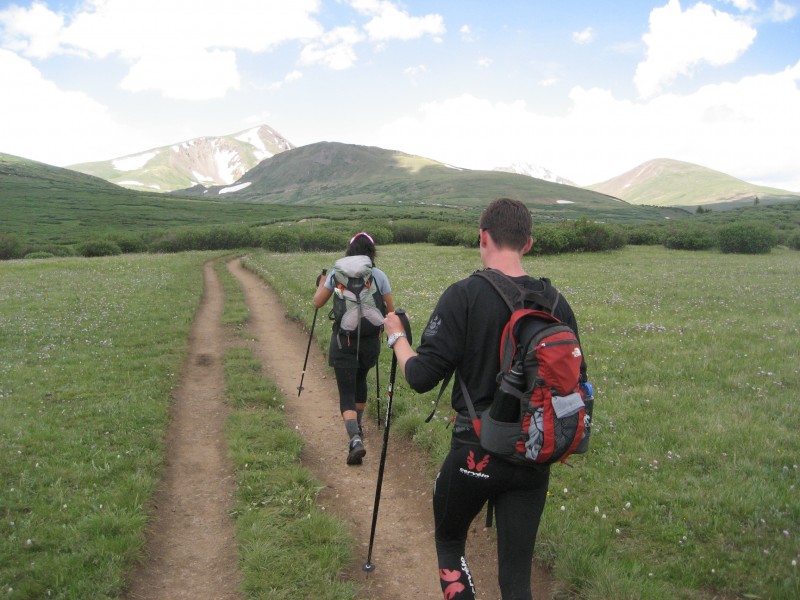
Hiking out through the willows.
Once we hit the Bierstadt trail, Dales Pale Ale floated in our minds and we scurried up to the car.
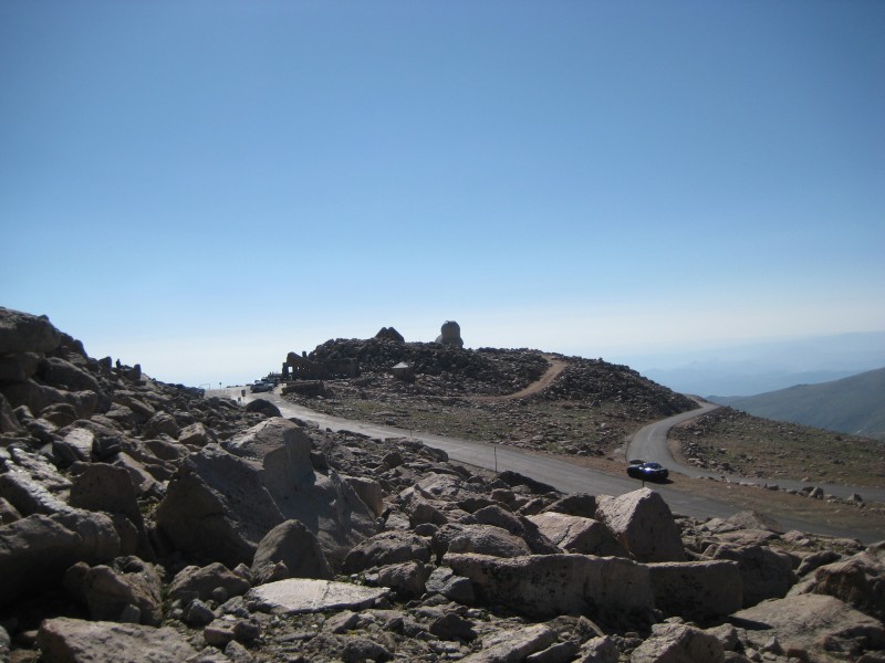
Car in sight!
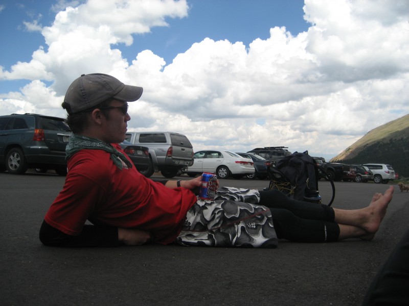
Required after a huge weekend.
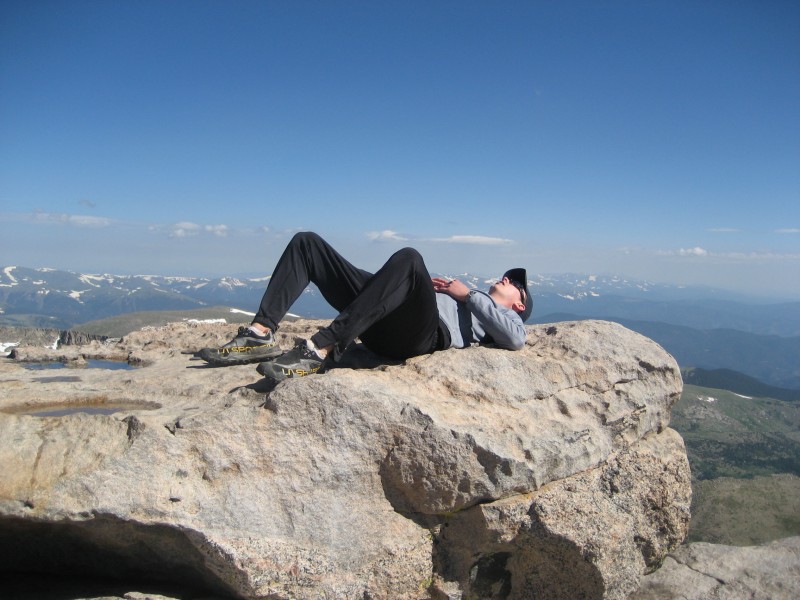
Contemplating what had just happened.
Zzzzzzz...
This was a really fun day on a solid, exciting traverse. The weekend as a whole was also spectacular. I think the stats were 7 14ers in 29 hours, 25 miles hiked and just over 11,000' vertical gained. As long as you have good weather it makes for a great outing close to Denver.
If anyone has any questions about these peaks or routes, feel free to PM me.
Thanks for reading, and hope to see you in the hills!
Robert
Thumbnails for uploaded photos (click to open slideshow):
You guys ripped it up in the mountains! I hope to have the gumption to attempt a long weekend like this. Great time in the mountains!! Great job and bragging rights after this trip... :D
Caution: The information contained in this report may not be accurate and should not be the only resource used in preparation for your climb. Failure to have the necessary experience, physical conditioning, supplies or equipment can result in injury or death. 14ers.com and the author(s) of this report provide no warranties, either express or implied, that the information provided is accurate or reliable. By using the information provided, you agree to indemnify and hold harmless 14ers.com and the report author(s) with respect to any claims and demands against them, including any attorney fees and expenses. Please read the 14ers.com Safety and Disclaimer pages for more information.
Please respect private property: 14ers.com supports the rights of private landowners to determine how and by whom their land will be used. In Colorado, it is your responsibility to determine if land is private and to obtain the appropriate permission before entering the property.


 Reaching the Bierstadt summit")
 Tyler and Noelle on a beautiful morning")
 First view of the Sawtooth from Bierstadt")
 Front Range waking up")
 Scrambling down good rock from the Bierstadt summit")
 Nearing the lower portion of the ridge")
 Tyler loving the fun scrambling on good rock!")
 There is exposure to the left but you are never forced to get too close to the drop")
 Looking back up to Bierstadt")
 Approaching the ledge traverse")
 Climbing up the ledge.")
 An interesting situation...")
 Some of the local residents.")
 Cruising up the plateau below Evans.")
 Summit Lake")
 Eventually you come around a corner and see this.")
 It was this kind of weekend.")
 7 peaks in 29 hours!")
 Looking back at Bierstadt from Evans")
 At the bottom of the gully")
 This basin is beautiful")
 Hiking out through the willows.")
 Car in sight!")
 Required after a huge weekend.")
 Contemplating what had just happened.")
 Zzzzzzz...")