Download Agreement, Release, and Acknowledgement of Risk:
You (the person requesting this file download) fully understand mountain climbing ("Activity") involves risks and dangers of serious bodily injury, including permanent disability, paralysis, and death ("Risks") and you fully accept and assume all such risks and all responsibility for losses, costs, and damages you incur as a result of your participation in this Activity.
You acknowledge that information in the file you have chosen to download may not be accurate and may contain errors. You agree to assume all risks when using this information and agree to release and discharge 14ers.com, 14ers Inc. and the author(s) of such information (collectively, the "Released Parties").
You hereby discharge the Released Parties from all damages, actions, claims and liabilities of any nature, specifically including, but not limited to, damages, actions, claims and liabilities arising from or related to the negligence of the Released Parties. You further agree to indemnify, hold harmless and defend 14ers.com, 14ers Inc. and each of the other Released Parties from and against any loss, damage, liability and expense, including costs and attorney fees, incurred by 14ers.com, 14ers Inc. or any of the other Released Parties as a result of you using information provided on the 14ers.com or 14ers Inc. websites.
You have read this agreement, fully understand its terms and intend it to be a complete and unconditional release of all liability to the greatest extent allowed by law and agree that if any portion of this agreement is held to be invalid the balance, notwithstanding, shall continue in full force and effect.
By clicking "OK" you agree to these terms. If you DO NOT agree, click "Cancel"...
Pretty standard route here, but a lot of people have been asking about snow conditions, so I figure that this effort will be worthwhile.
With my friend Eric in from Wisconsin, our initial plan was to climb La Plata Peak on Saturday, Mount Yale on Sunday, and Missouri Mountain on Monday (more on this later). Driving in from Denver on Friday evening, we met in Leadville for dinner (at the Golden Burro), and then arrived at the La Plata Peak trailhead around 8pm.
La Plata Peak, Friday evening:
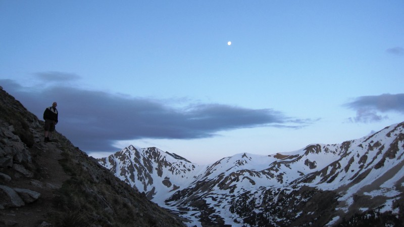
Seventeen months earlier, we attempted the winter variation of the Northwest Ridge route, and after postholing to the hip for several hours, turned around just above treeline. We were eager to finally get back at this one, and after a car alarm woke us at 3am, we were off at approximately 3:30.
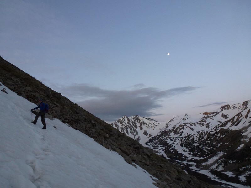
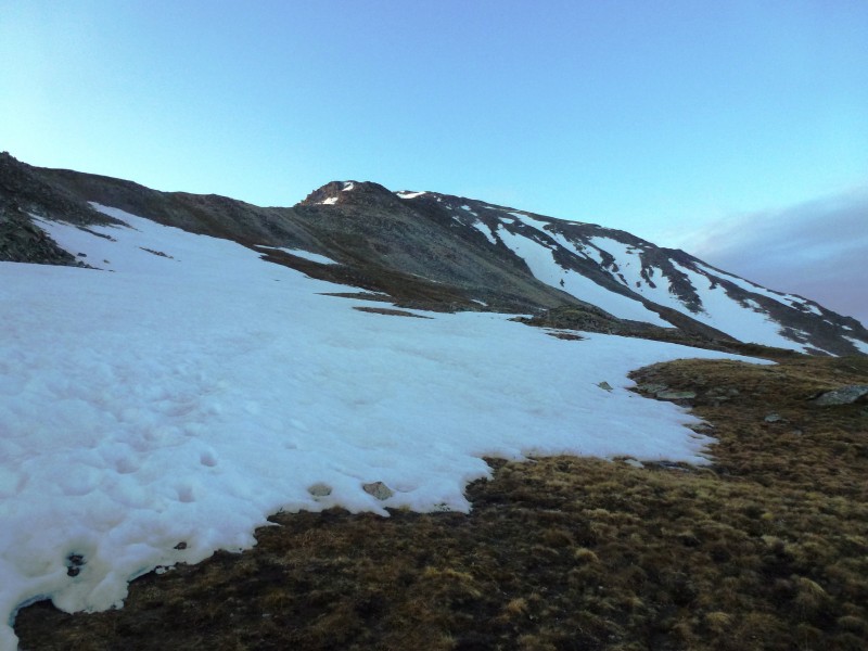
It's always nice to get the formalities out of the way in the dark, and by the time we could take clear photos, we were starting to work our way up the side of the ridge itself:
Fortunately the snow was hard, at least on the way up. Here we are above the first set of switchbacks (which were encased in snowpack):
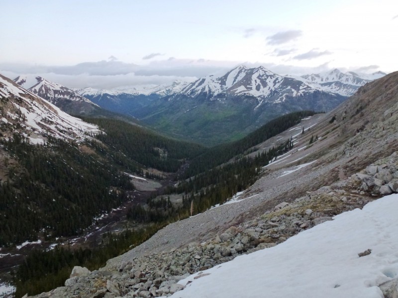
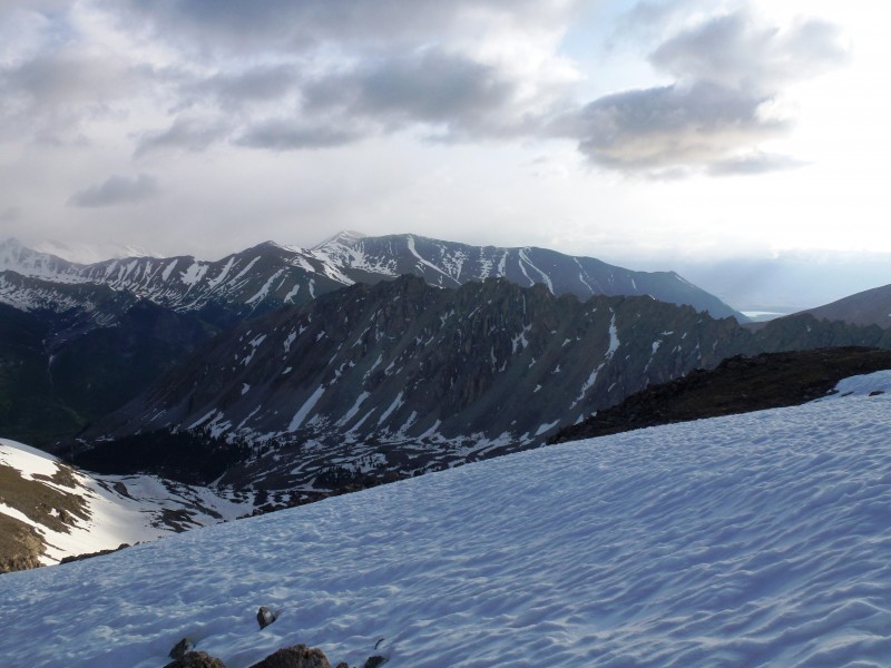
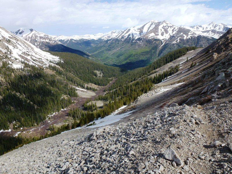
And a broader view of the La Plata Gulch:
A look over to Sayers with the full moon in effect:
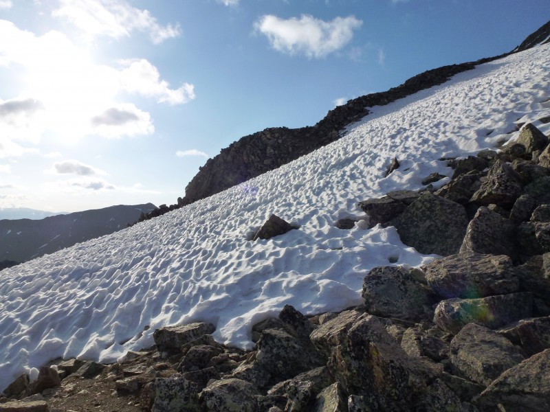
And a look at the largest snowfield we would have to cross. On the ascent, we circumvented this to climber's right. On the descent, I glissaded in shorts using my hiking boots for "control". Hilarious video available on Facebook.
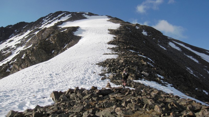
Once we've gain the ridge proper. Photos never really properly convey steepness - the journey ahead:
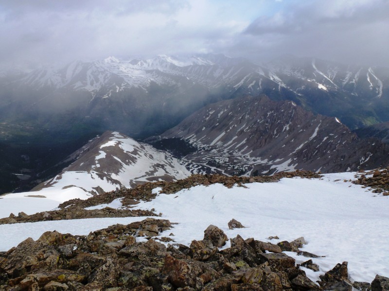
Our destination is the point in the back, shrouded in clouds. We had had decent weather to this point, but clouds were coming in early this morning:
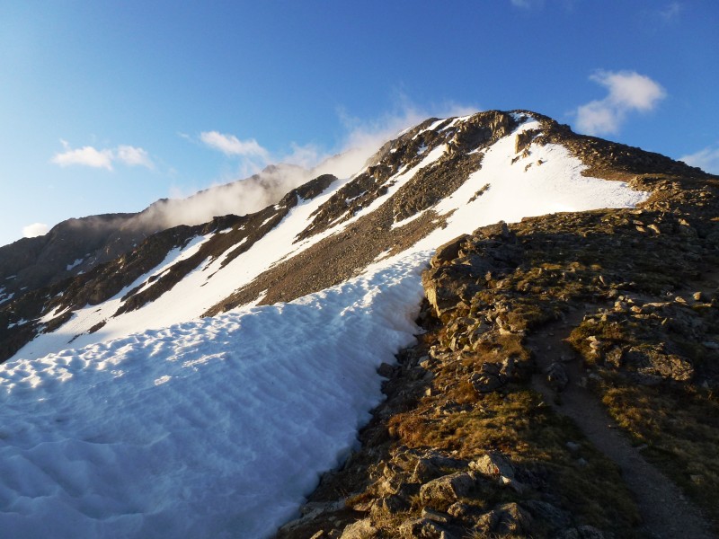
A look across at the mighty Ellingwood Ridge and Mount Elbert:
I always love to see suncupped snow in the morning:
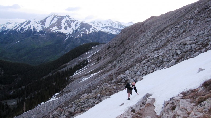
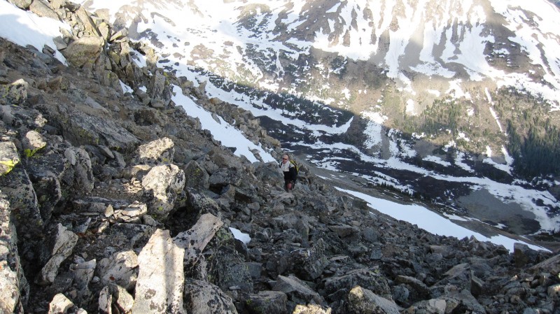
We take slighty different paths through the boulder hopping - the snow is reasonably avoidable:
Here comes the storm! This is a look back from whence we came:
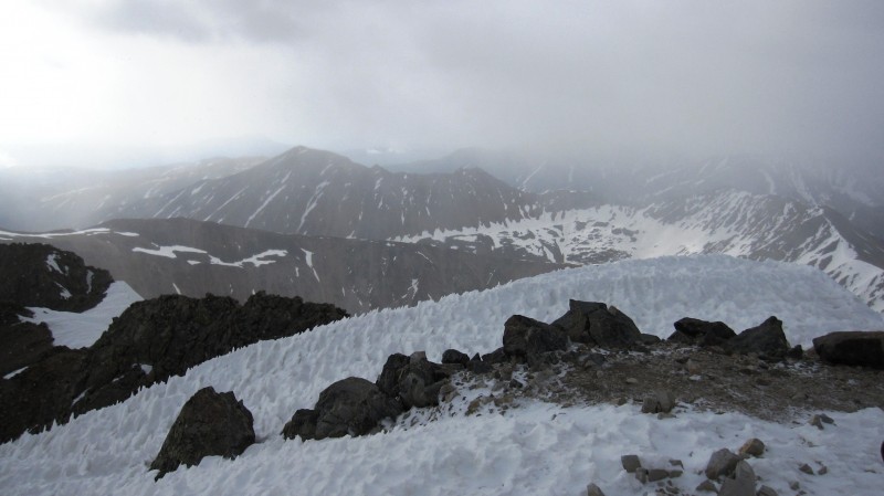
We summit at approximately 8am - this is my twentieth unique fourteener, and the visibility is probably worse than any other:
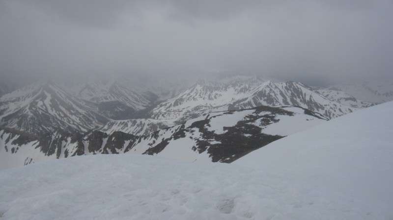
You really couldn't see very far in the snow and the wind. For instance, the Belford group was nowhere to be seen. Some examples:
I never get cold on these things, but on the descent I couldn't feel my left hand for about a half hour:
It's time to go - I'm either yawning or complaining (possibly both):
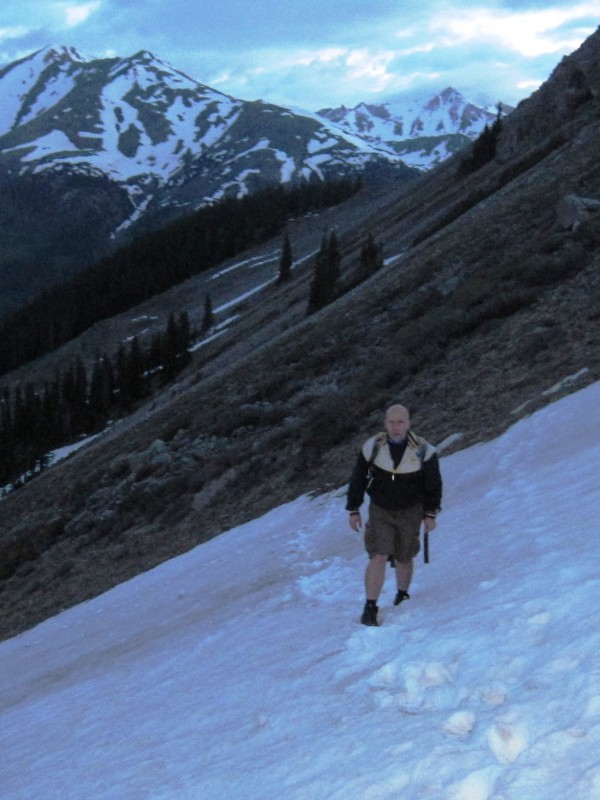
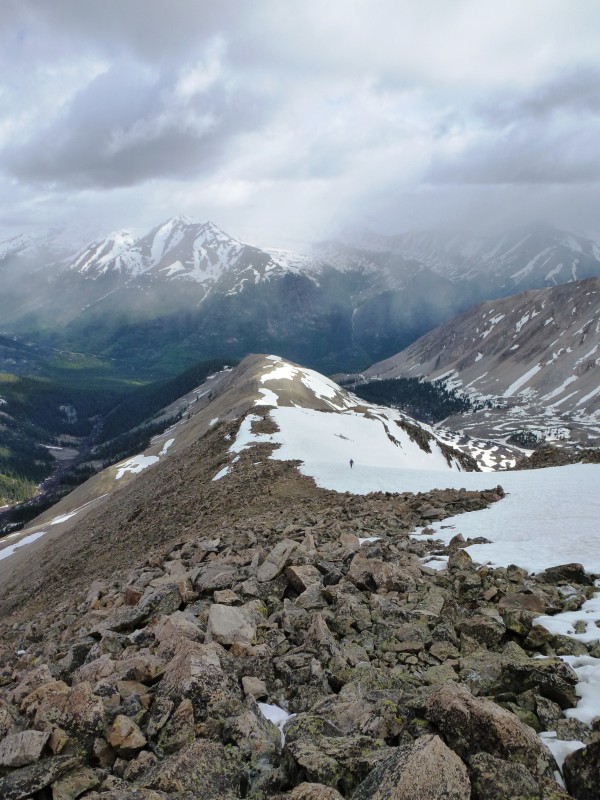
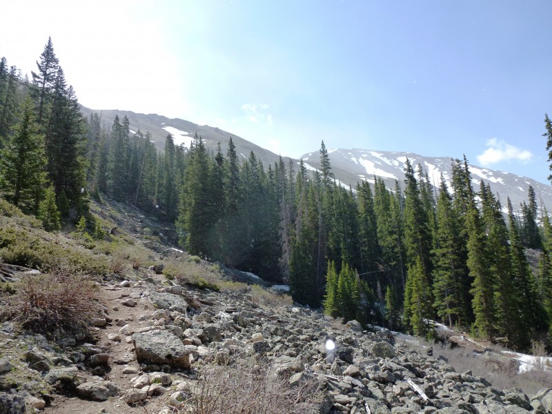
We begin to descend north - the road ahead:
Here, we glissaded for about as long as possible - the angle wasn't too severe:
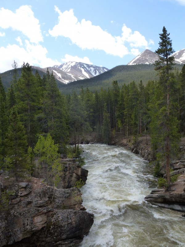
Looking back into the valley, with highway 82 and the cars way in the distance:
Working our way to the last main snowfield on the switchbacks - for which I bushwacked to descender's right:
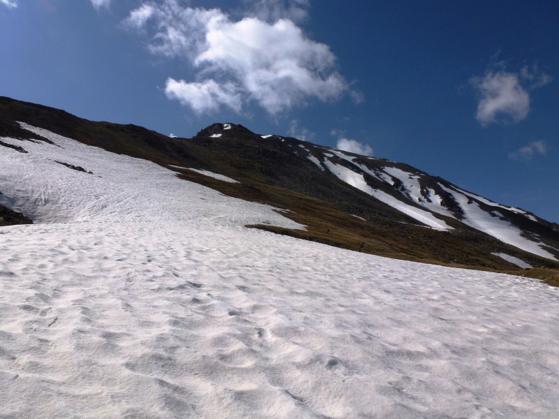
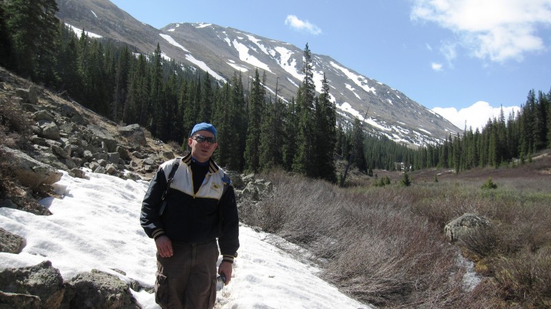
Now that it's light out, a look back towards the peak from lower in the valley:
Trying not to add "sunburn" to my case of "windburn":
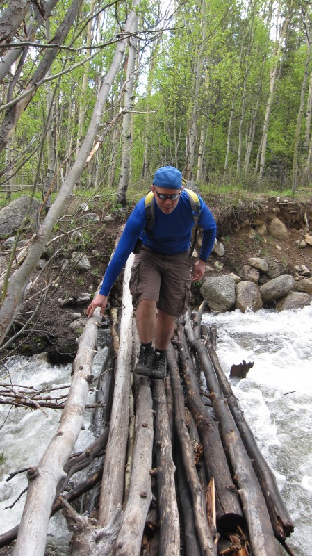
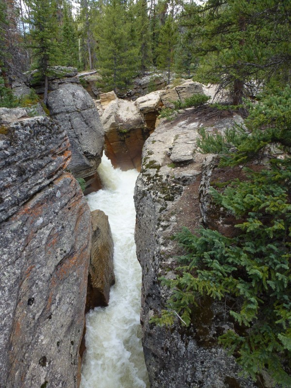
Lot of creekwater going through at this time of year - although it could have been worse (17 months ago, I slipped on the icy bridge and fell into the water:
Lots of runoff!
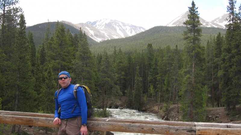
And we are back at the bridge, right around 11am sharp:
Lake Creek is quite full:
.
And there you have it! Back to the Buena Vista Best Western and lunch in town, all to get ready for another tomorrow. Thanks to Eric for great company, and for some of the photos in this report.
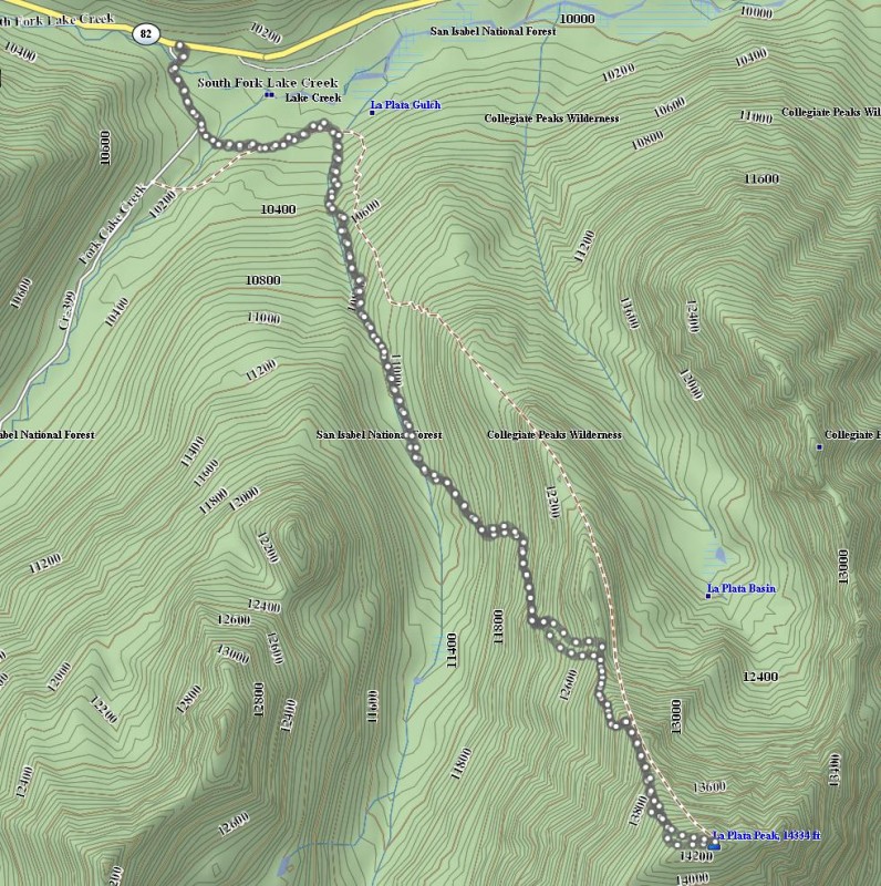
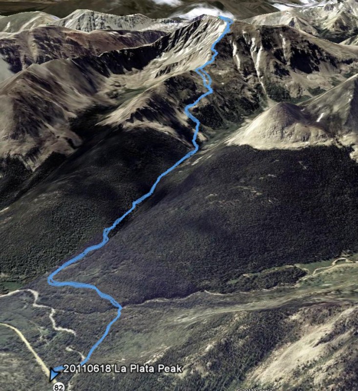
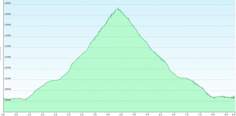
My GPS Tracks on Google Maps (made from a .GPX file upload):
Felt awfully good after bonking back in January 2010. :lol:
Caution: The information contained in this report may not be accurate and should not be the only resource used in preparation for your climb. Failure to have the necessary experience, physical conditioning, supplies or equipment can result in injury or death. 14ers.com and the author(s) of this report provide no warranties, either express or implied, that the information provided is accurate or reliable. By using the information provided, you agree to indemnify and hold harmless 14ers.com and the report author(s) with respect to any claims and demands against them, including any attorney fees and expenses. Please read the 14ers.com Safety and Disclaimer pages for more information.
Please respect private property: 14ers.com supports the rights of private landowners to determine how and by whom their land will be used. In Colorado, it is your responsibility to determine if land is private and to obtain the appropriate permission before entering the property.