Log In 

Culebra (Main) Trailhead

Sangre de Cristo

Road Difficulty
3 3  Easy 4WD/AWD, good clearance 
Location
Driving Directions
From Alamosa or Walsenburg, take U.S. 160 to the town of Fort Garland and...
  • Turn south on Highway 159 and drive just over 15.5 miles to reach the town of San Luis.
  • Near a Conoco gas station, turn left on 4th Street (P.6 Road) and drive 4.0 miles to the town of Chama.
  • Turn left on the L.7 Road.
  • Drive 3.6 miles on L.7, cross a bridge and turn right on the 25.5 Road (dirt).
  • Drive 0.5 mile on 25.5 and turn left on the M.5 Road.
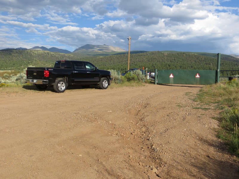
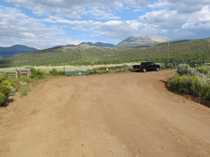
  • Drive 0.9 mile on M.5 to reach the Cielo Vista Ranch at the North Headquarters gate.
  • The gate will be closed/locked and ranch representatives will meet you for an escort to the ranch headquarters, usually at 6am on the morning of your hike.
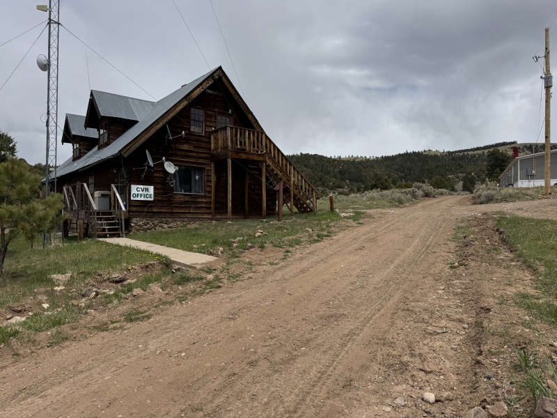
  • Once through the north HQ gate, continue 2 miles to the ranch headquarters for check-in.
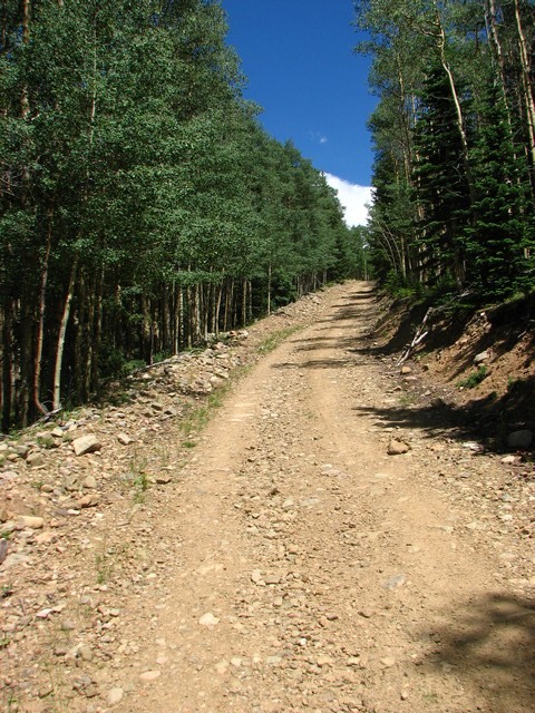
  • Leave HQ on the steep AWD/4WD road (It's 4.4 miles to the upper trailhead).
  • At 0.1 mile, stay right.
  • After about 2.5 miles, the steepness of the road eases.
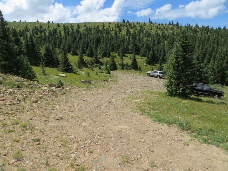
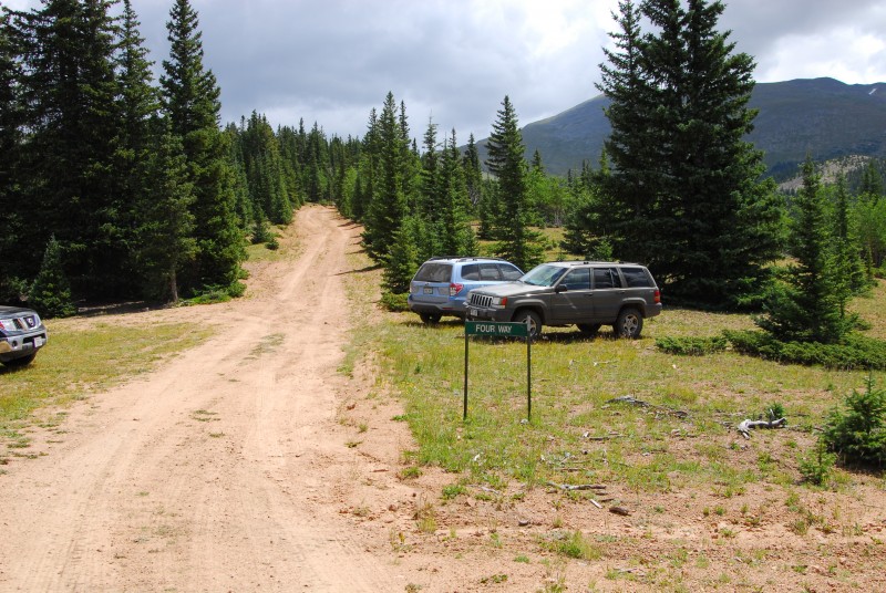
  • After 3.4 miles, reach "Four Way" at 11,250'. Plenty of parking here if you choose this as your starting point.
  • To reach the upper trailhead, continue straight to the end of the road at 4.4 miles.
 Notes
2WD dirt to the ranch. Steep 4WD to the upper TH.

Trailhead Status Updates

Most Recent Update 6/13/2026:

Winter Access

The ranch does allow some winter/spring hiking so email the ranch or check there website to determine availability.

Trailhead Facilities & Fees

Parking: Plenty at the ranch headquarters and higher.
Camping: The ranch allows you to set up a tent near the gate before they let people in each morning. They don't allow people to go in the night before and camp on the property.
Restrooms: Yes, at the gate and headquarters
Fees: Yes
Trailhead added by BillMiddlebrook