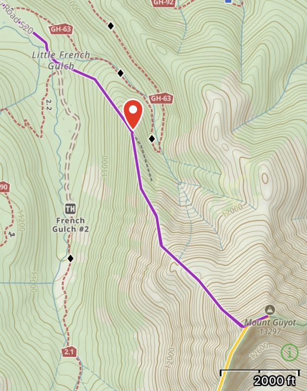
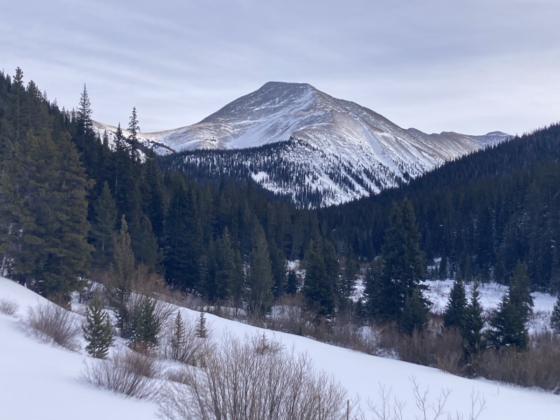
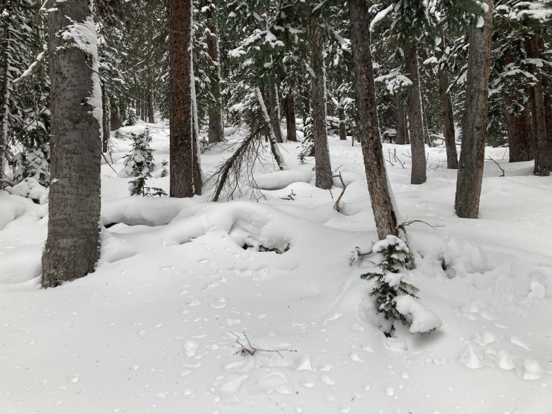
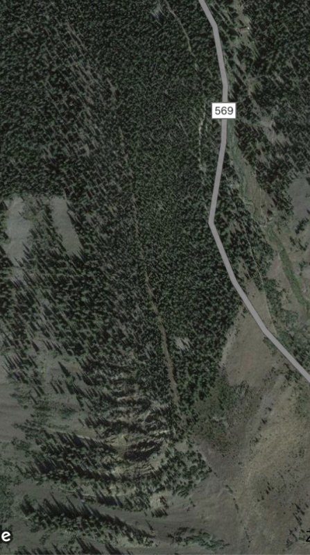
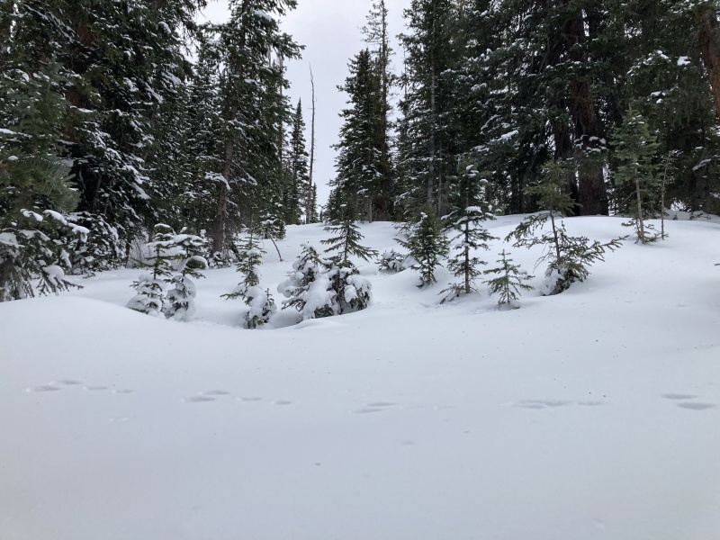
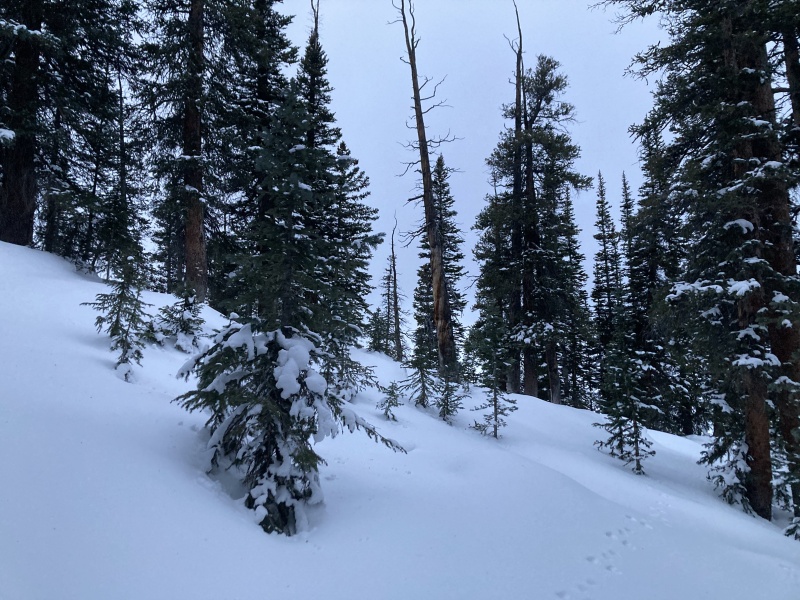
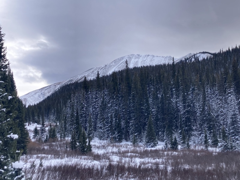
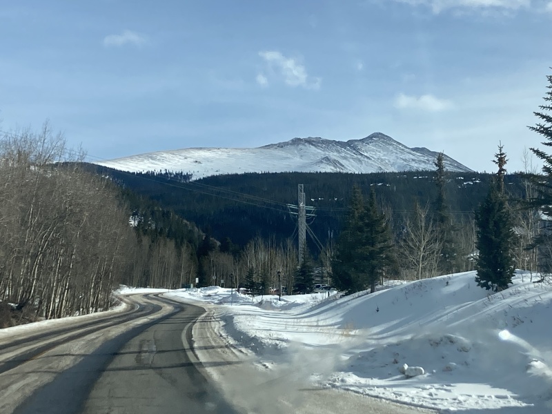
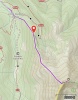
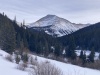
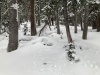
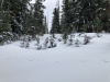
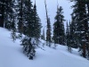
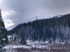
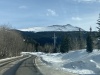
Wanted to try out a route I put together after looking at topo, satellite and slope angle but it ended up being way less feasible than I anticipated. On satellite I noticed a cleared-out strip on the NW ridge proper that started halfway up the ridge and went all the way to treeline. I left the plowed and packed-down road where the Little French Gulch creek meets the road at 10,600ft and headed SE up to the ridge. I had hoped that this would be a safe & direct way of summiting but I didn't account for how much deadfall and deep wind-drifted snow there would be on the ridge. Snow had variable consistencies but was mostly a thick soft crust with a weaker layer below that I punched and slogged through over my knees even with snowshoes with every step. Made it up to 11,280ft before calling it--I had started pretty late, it was getting dark and I was done hurdling logs. This is probably feasible with more time in the day but definitely one to earn. There were some ski tracks heading out from the standard NW ridge/E slopes route turn-off to Little French Gulch, might be a better option to follow thru the trees just to avoid deadfall.
|