| Peak: | Mt. Blue Sky |
| Route: | West Ridge from Guanella Pass |
| Range: | Front |
| Posted By: | the_hare |
| Date of Info: | 1/12/2022 |
| Date Posted: | 1/13/2022 |
| Condition Update |
|---|
|
Road has a very nice bootpack but I'd still recommend gaiters from here on for the occasional off-track posthole. The "shortcut" for the second switchback isn't trenched now. The trail through the willow marsh has a decent bootpack except for where the moose have destroyed it. Moose tracks abound everywhere here even on the road. No moose for me today tho :( There is a packed down snowshoe trench shooting off the main trail just past the first large pond, will attach picture of location. It goes over the hills in the marsh to the northeast and continues on to a small kidney-shaped pond just west of the low-angle Scott Gomer drainage at 11,860 ft elevation. I ran into this trench after branching off from the summer Sawtooth return trail. The person who made the trench apparently climbed the boulders to gain the drainage above so I followed. The drainage slope northeast of the creek is snow-covered, it has a hard crust that supported me at times but I mostly punched through to mid-calf. I crossed the beautiful frozen Scott Gomer Creek with microspikes, the snow on the banks has a thick windblown crust that held me but the creek is still very slick. The northwest facing slope on the other side of the creek and the slopes onwards to Evans W ridge has light patches of crusty snow and avoidable snowfields. The trail through the boulderfield on the ridge has small snowdrifts at some points but they're mostly avoidable. Summit is clear of snow. Will attach pictures of the Sawtooth. Looked super loaded on the east side. The big steep gully that holds the Sawtooth return trail looked bare for the most part. I did not see a trench going between the gully and the main trail. Great day for my 10th total winter 14er. Perfect weather and not too strenuous of a hike. Scott Gomer creek in the drainage had an incredible glacial blue color to the ice. What a wonderful & peaceful time snowshoeing through the middle of the frozen willow ponds after dark under moonlight too. 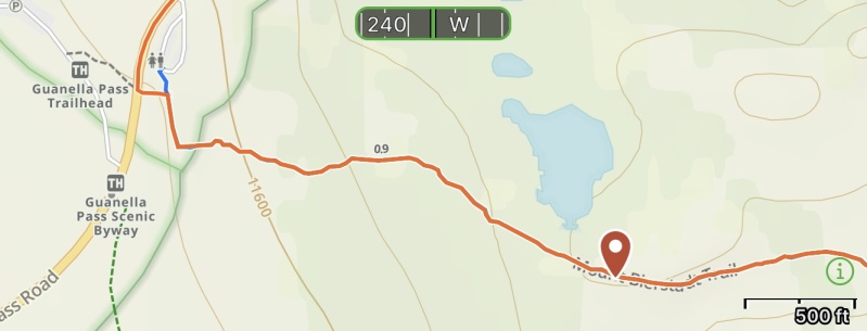 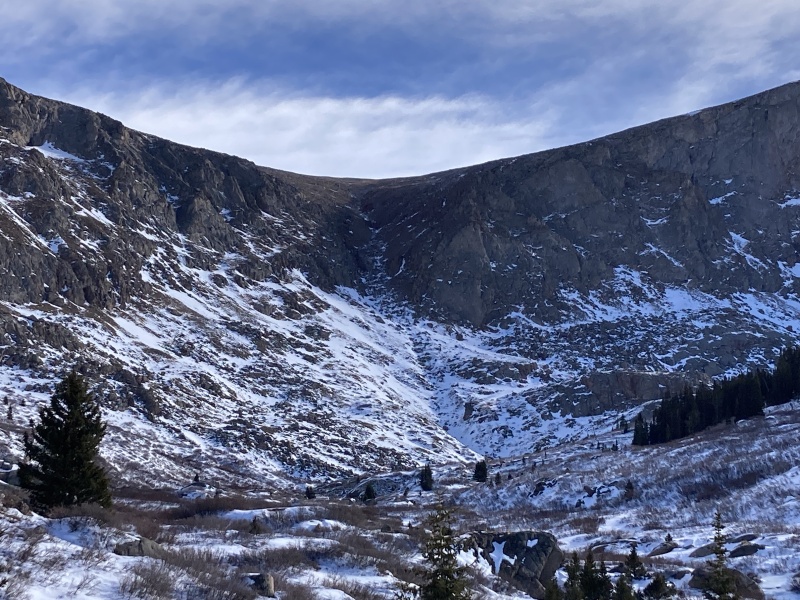 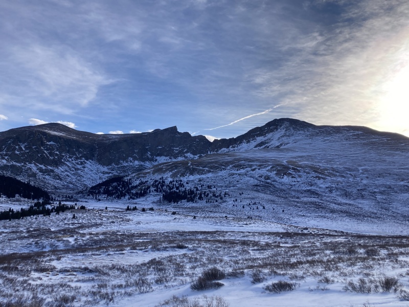 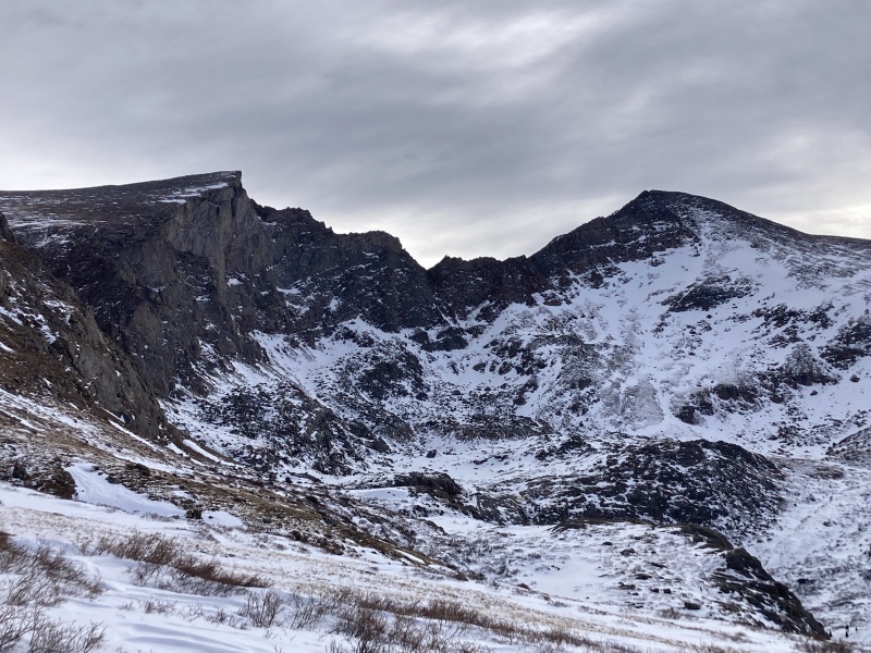 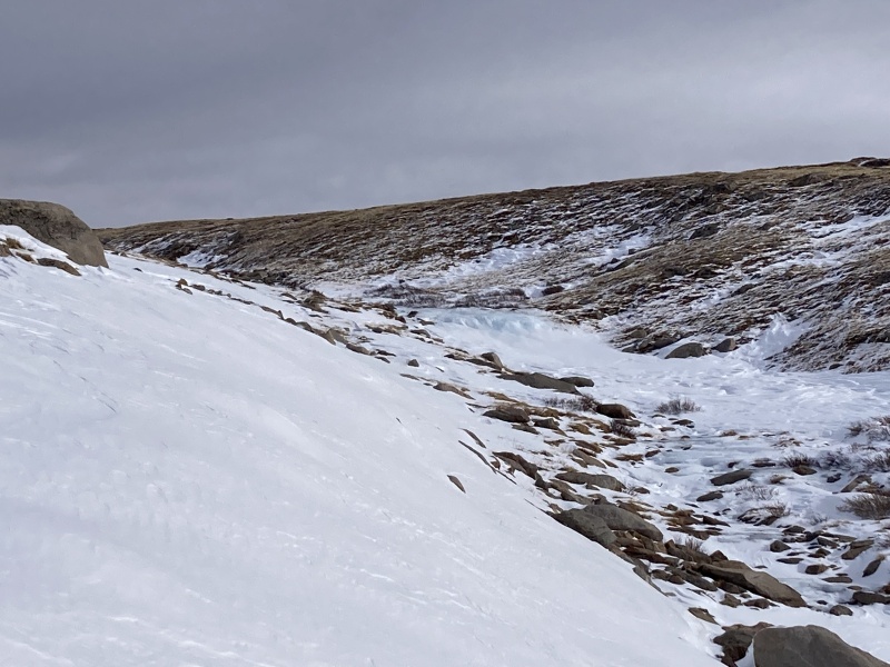 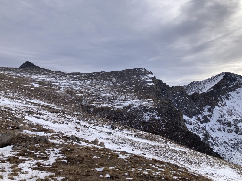 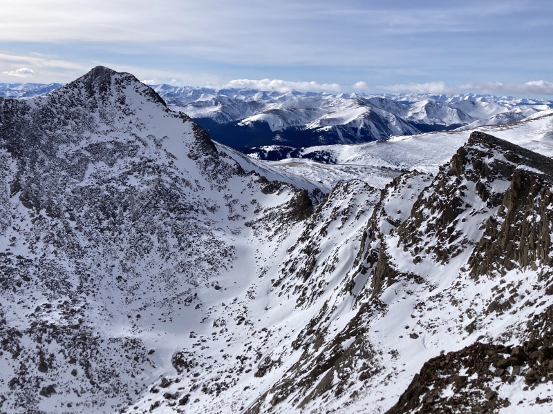 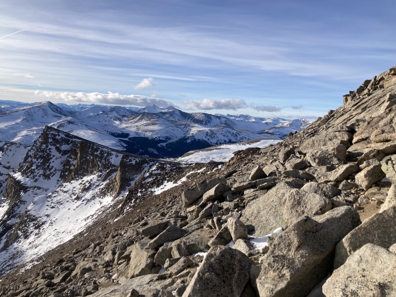 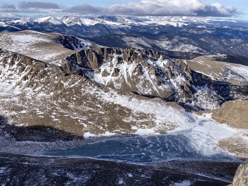 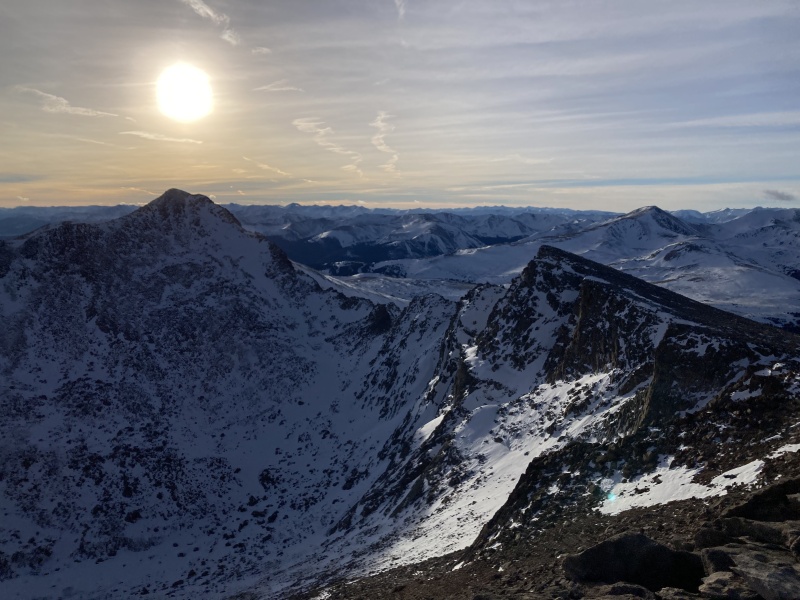 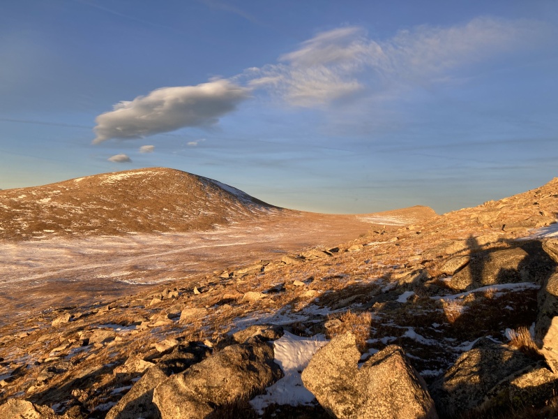 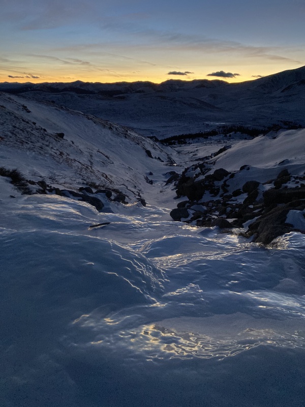
|
| Comments or Questions | ||||||||||||||||||||||||||||||
|---|---|---|---|---|---|---|---|---|---|---|---|---|---|---|---|---|---|---|---|---|---|---|---|---|---|---|---|---|---|---|
|