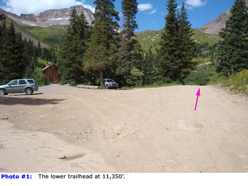
Starting at the outhouse parking area
, head west along the road (
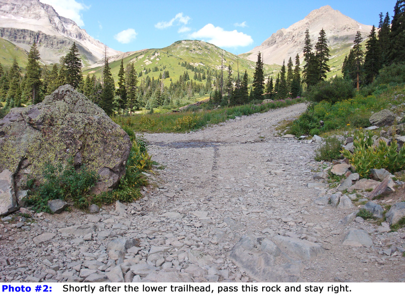
1). After 100 yards, pass a large rock and stay to the right at a junction (
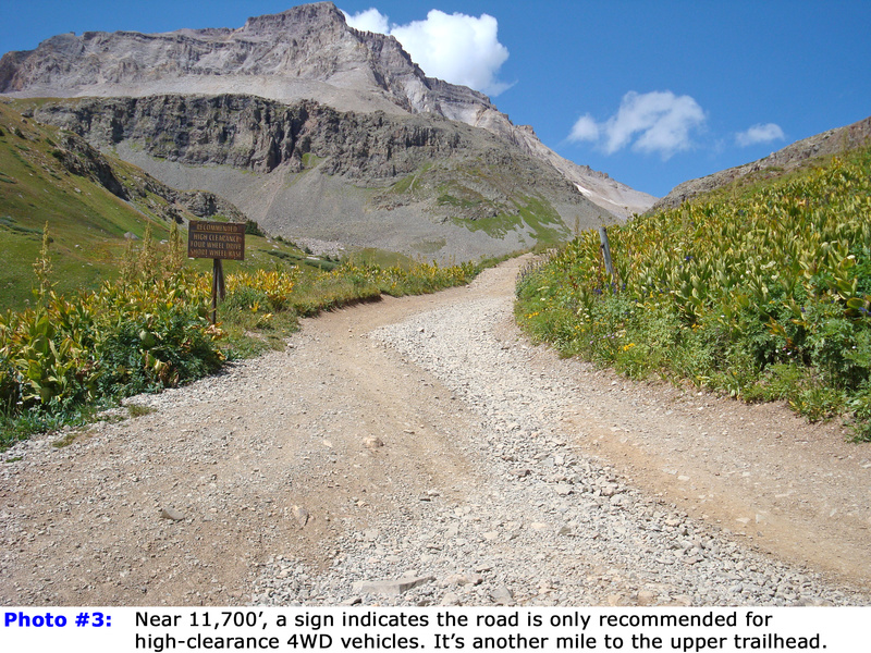
2). Follow the road for 0.75 mile to 11,700', where the road conditions worsen (
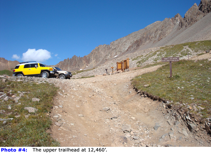
3). The remaining mile to the upper trailhead is very rough and should only be attempted by 4WD vehicles with high clearance and a short wheelbase. Continue to the signed, upper trailhead
, located at 12,460' (
4).
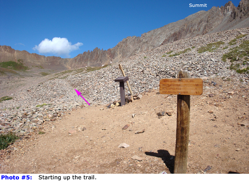
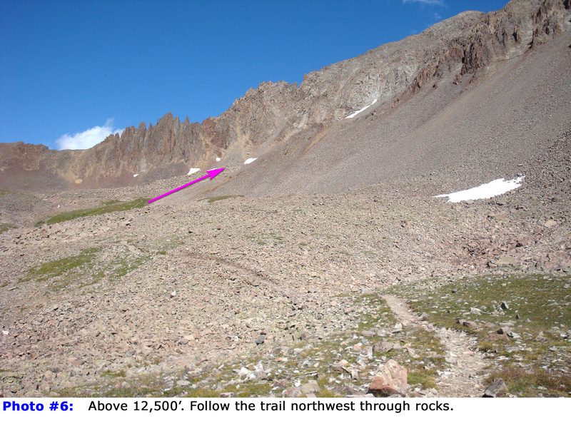
From the upper trailhead, follow a well-defined trail heading northwest across talus (
5,
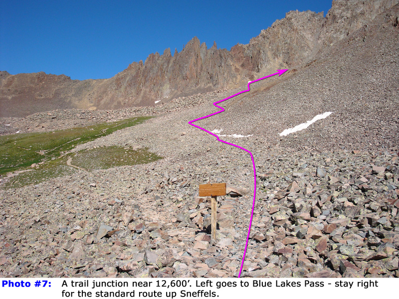
6). After approximately 0.25 mile and near 12,600', stay right at a trail junction
(
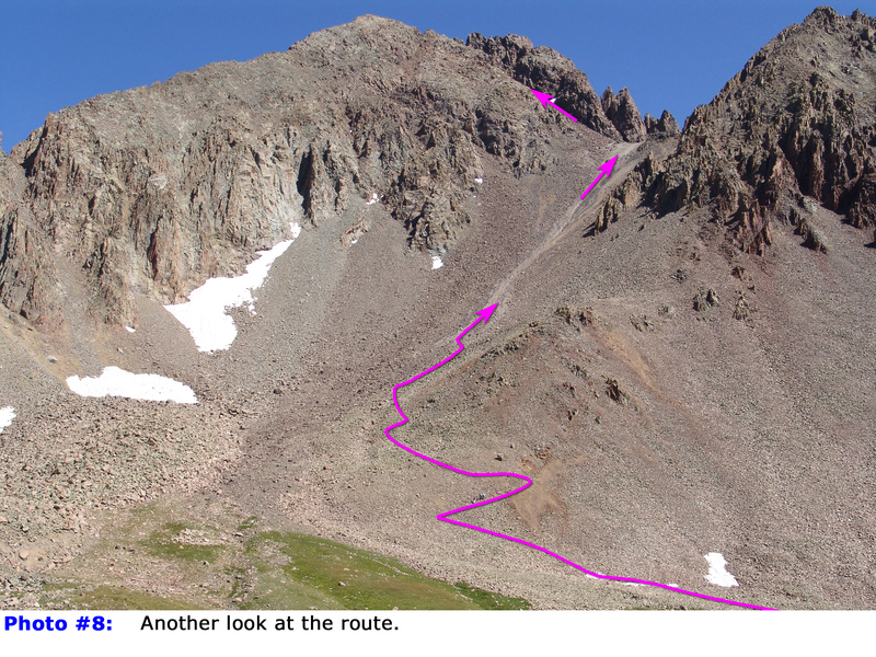
7). Continue for a short distance, then ascend a series of switchbacks before the trail enters a broad, scree-covered slope (
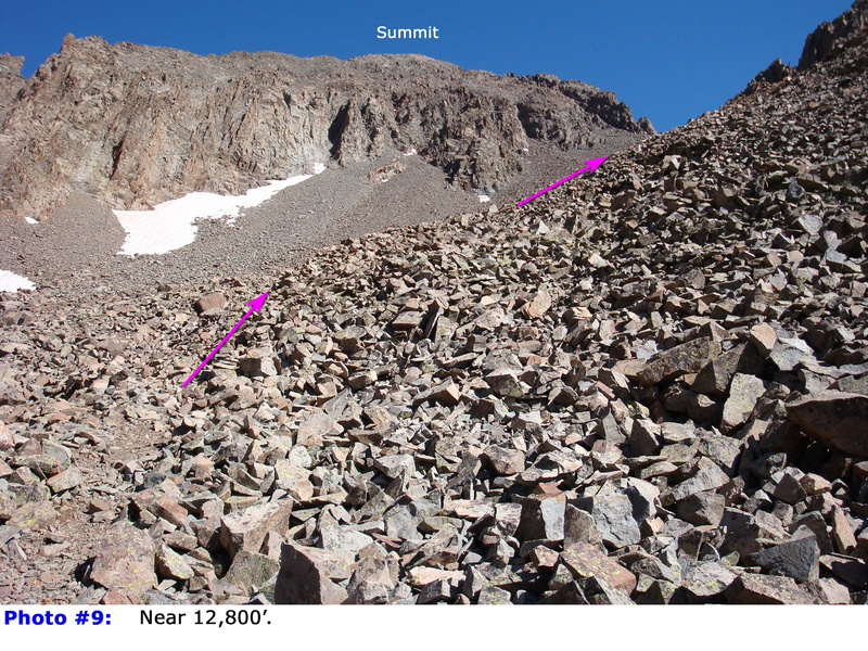
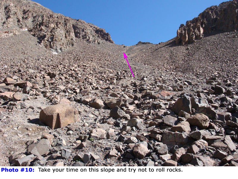
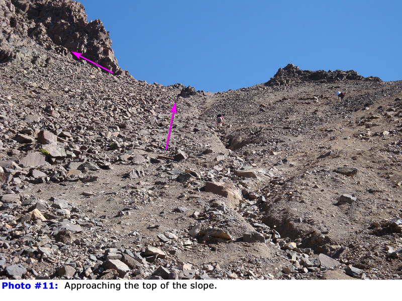
8,
9). Here, the trail becomes less defined. Pick your line and climb, with the best route typically staying just to the left of the slope's center. This Class 2 section is loose and unpleasant (
10,
11). At the top of the slope, you'll reach "Lavender Col," a saddle situated at 13,560'. If you found it very difficult to get to this point, consider turning back, as the climb ahead becomes more difficult.
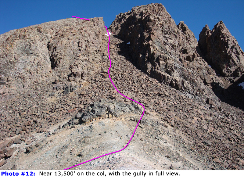
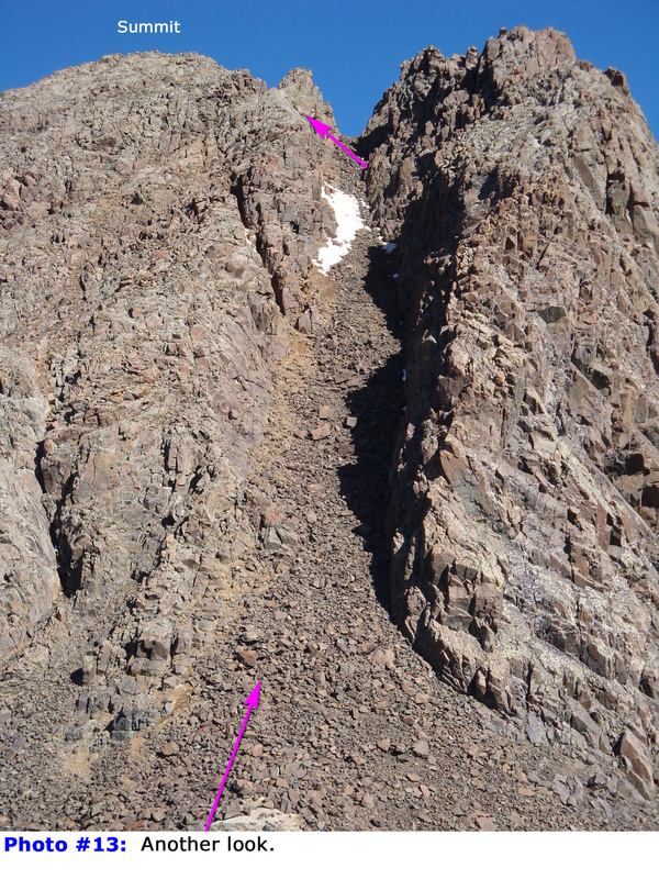
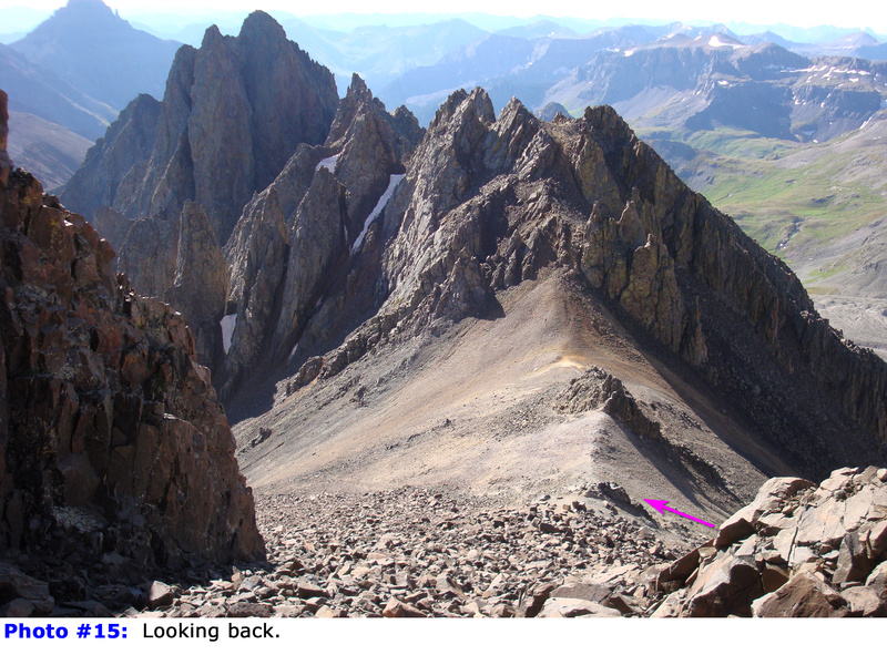
From the col
, turn left, where you'll see a steep gully ascending northwest toward the summit (
12,
13). Begin climbing the gully (
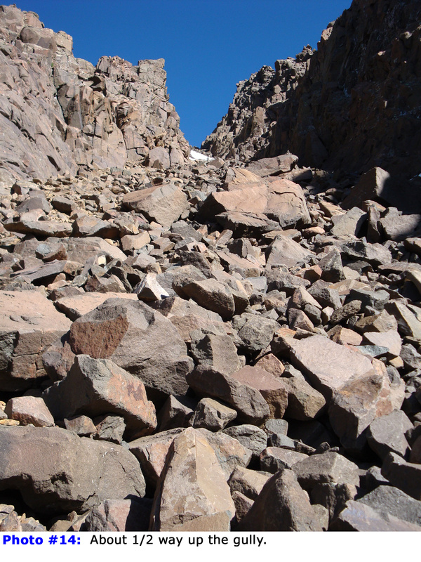
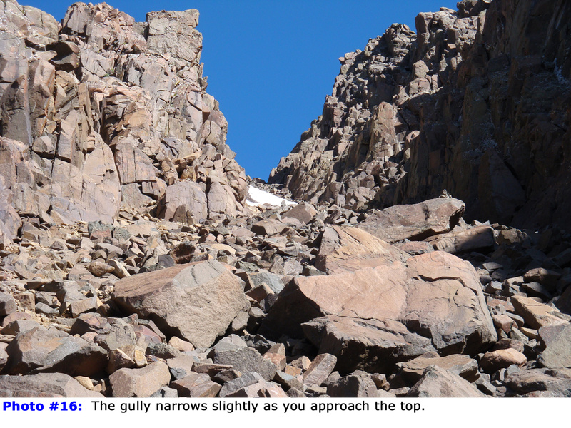
14,
15). If there is snow, crampons and an ice axe are recommended. There is no established trail in the gully, so carefully pick your line as you ascend toward the top (
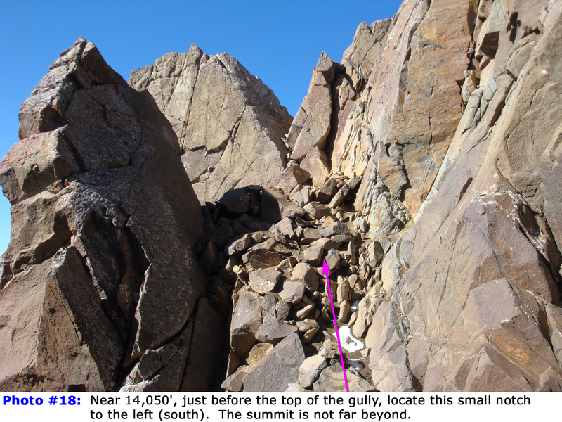
16). About 30 feet before the gully ends at an overlook, look to your left for a small "V" notch, which provides the easiest access to the summit (
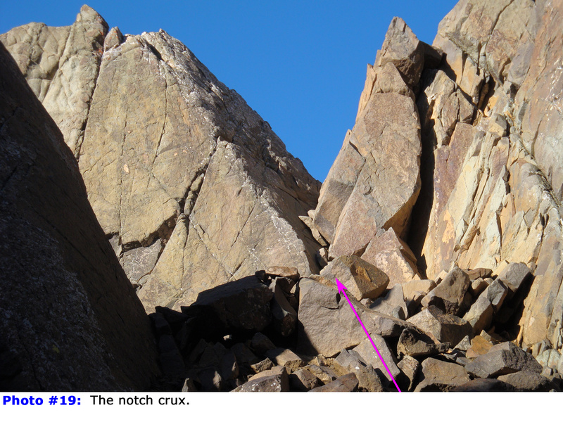
18,
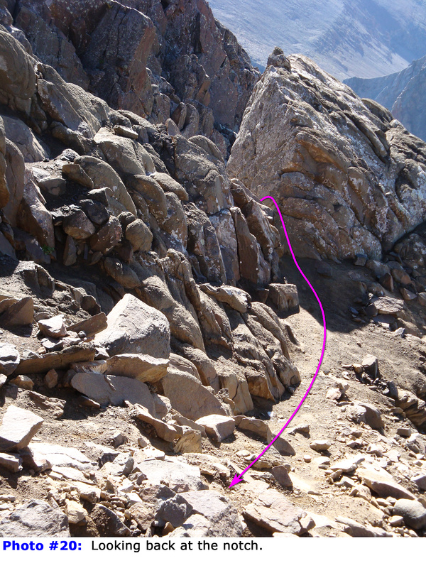
19). Scramble (Easy Class 3) through the notch. There is a bit of exposure to your left. Beyond the notch (
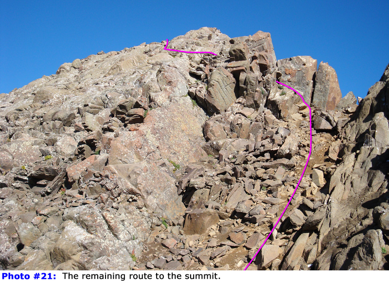
20), the summit is very close. Finish by scrambling up easy, stable rock to reach the top (
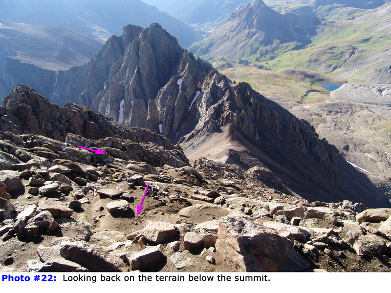
21,
22). Enjoy the breathtaking views from the summit (
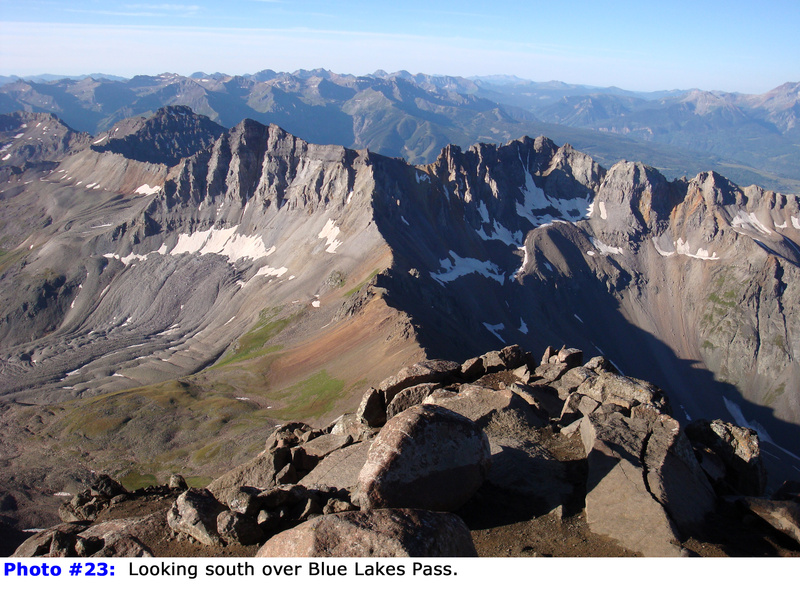
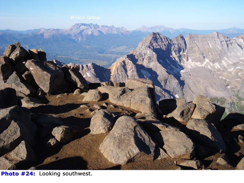
23,
24).

 GPX Track File


