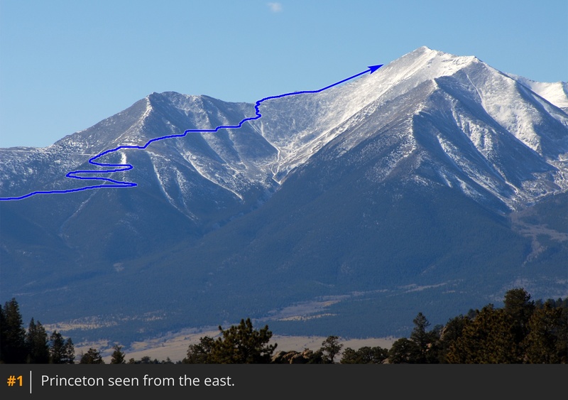
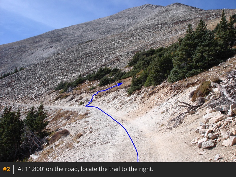
1 shows the route from the east. Leave your vehicle and walk up the road. Above 11,200', it ascends the east side of unranked, 13,300-foot "Tigger Peak" with a couple of large switchbacks. Near 11,700', it swings to the left side of the ridge, offering views of Tigger. Near 11,800', find the Princeton trail
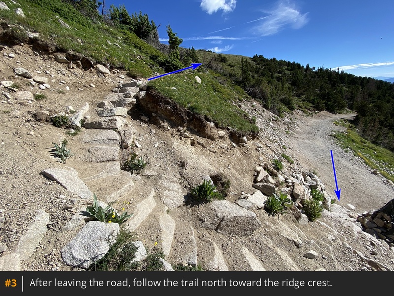
on the right before the road turns left. Leave the road and take the trail -
2,
3.
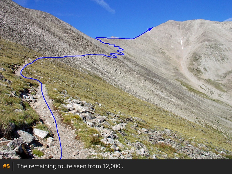
Hike to 11,900', where the trail crosses to the north side of Tigger, revealing much of the remaining route up Princeton -
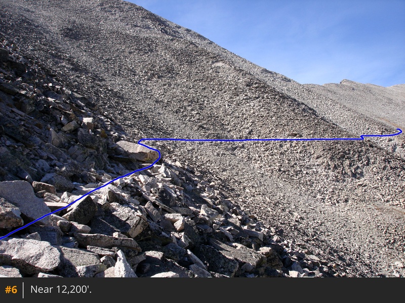
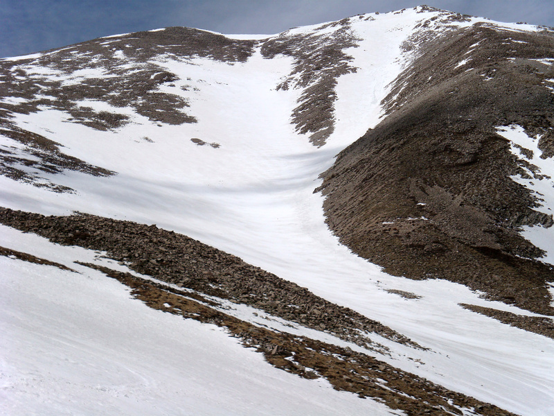
5. Head west over rocky terrain, traversing gullies, which may hold snow in spring or early summer -
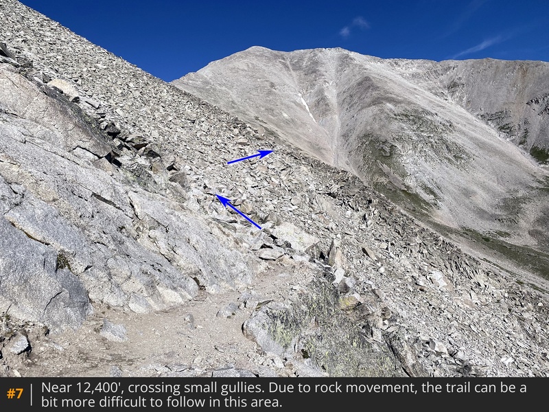
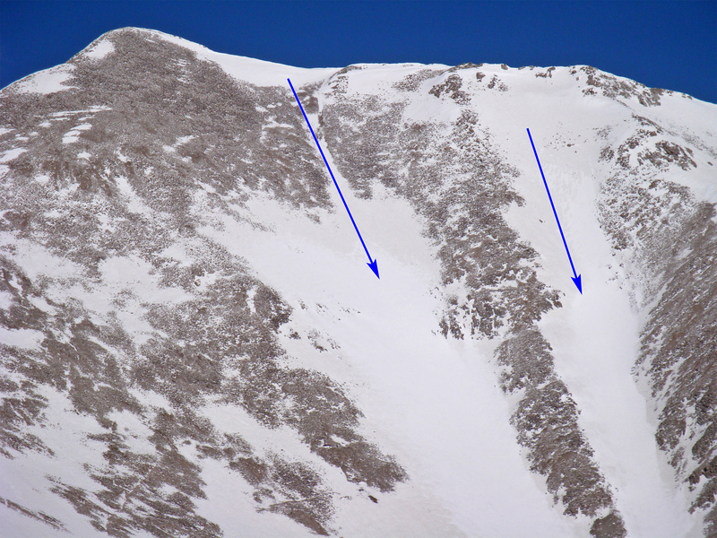
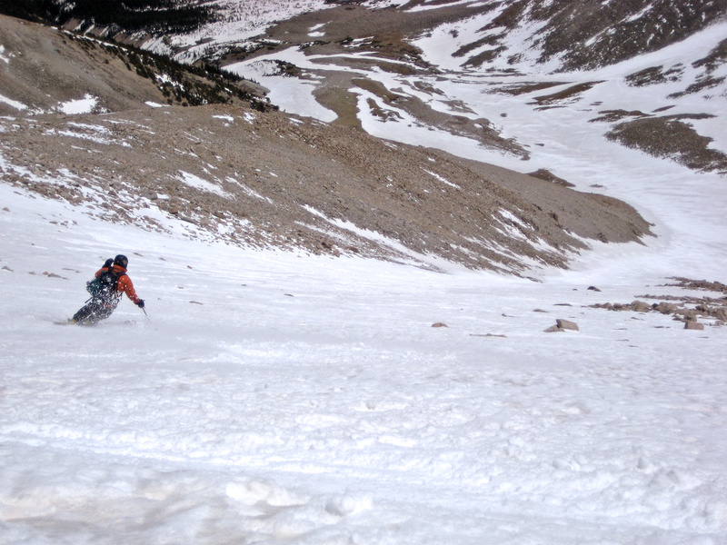
6,
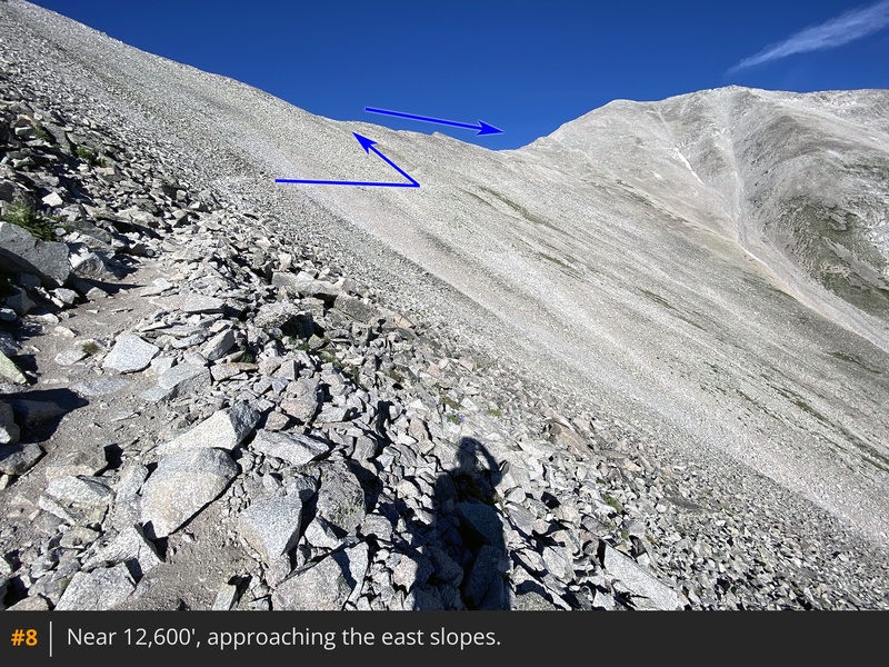
7. The trail is generally stable, although it may be briefly obscured in some areas due to occasional rock movement. After crossing the final gullies, reach easier terrain on Princeton's east slopes -
8. Near 12,800', arrive at a small rock wall, built to block hikers from continuing into difficult terrain -
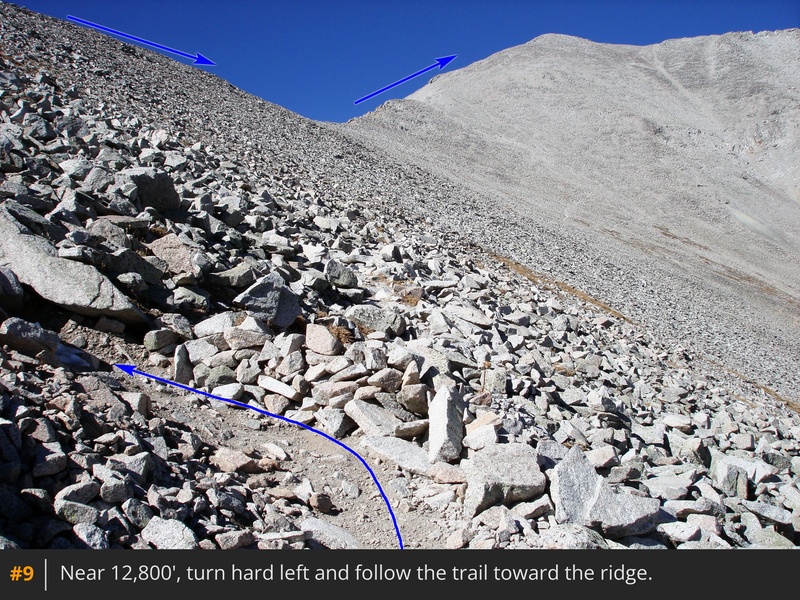
9. Turn sharply left
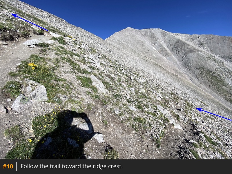
and follow the trail (
10) to the Tigger-Princeton connecting ridge
, at 13,100'.
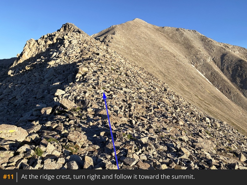
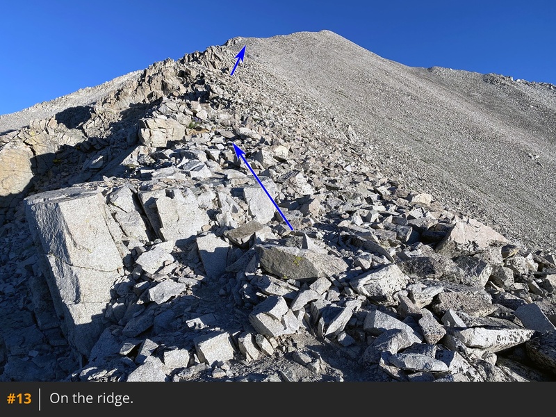
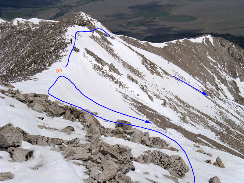
On the ridge, turn right and follow it northwest toward the summit -
11. Around 13,300', reach a small flat section before ascending the southeast ridge -
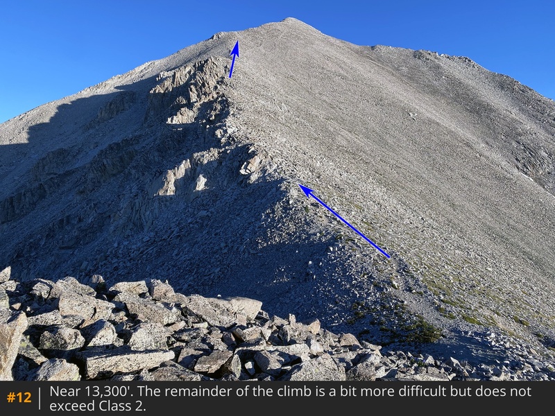
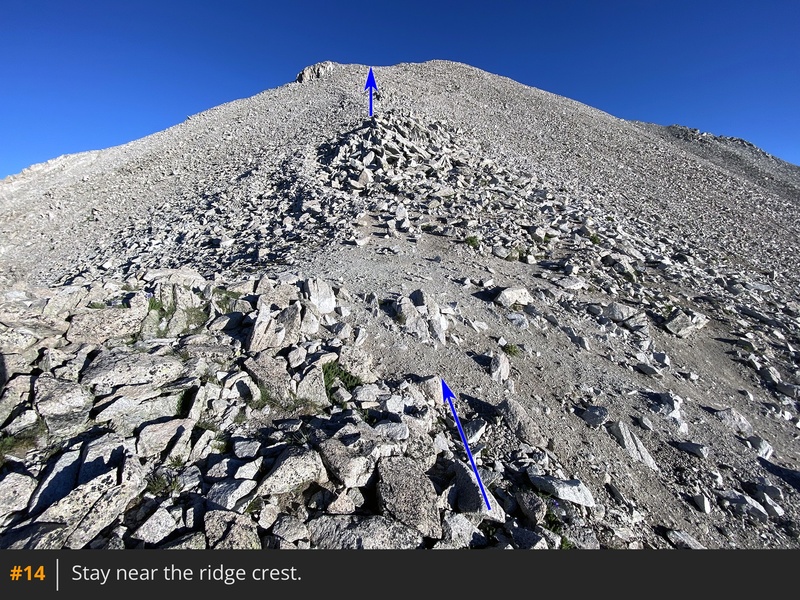
12,
13,
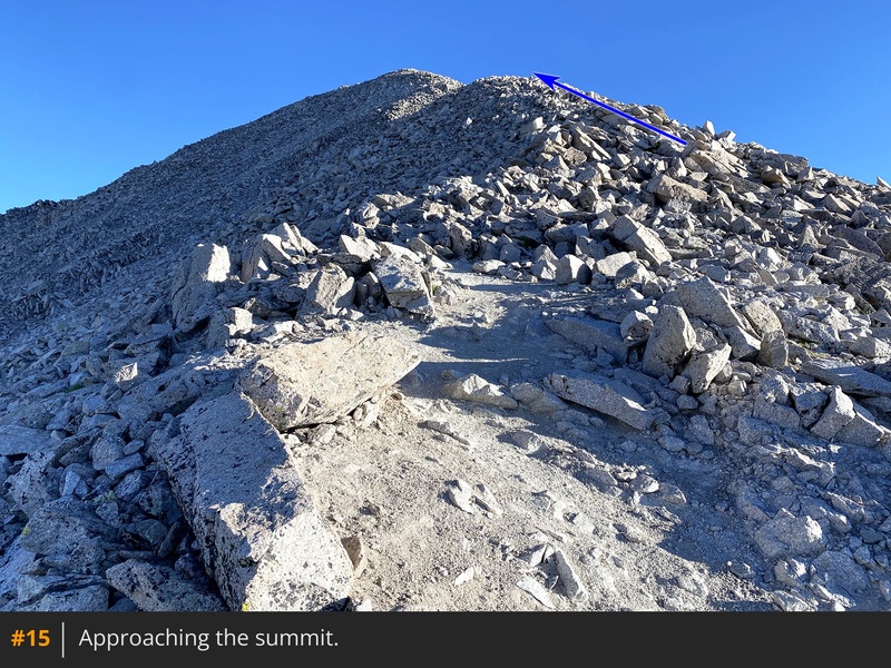
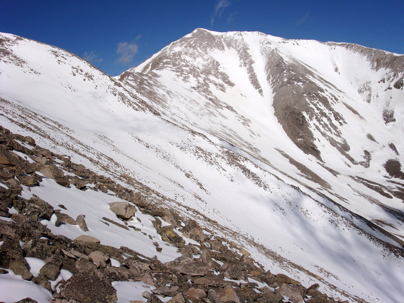
14. The route becomes steeper between 13,600' and 14,000', but it remains Class 2 in difficulty. The final pitch comes into view around 14,000' -
15. Stay near the ridge crest and continue to the summit -
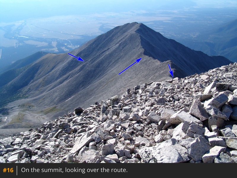
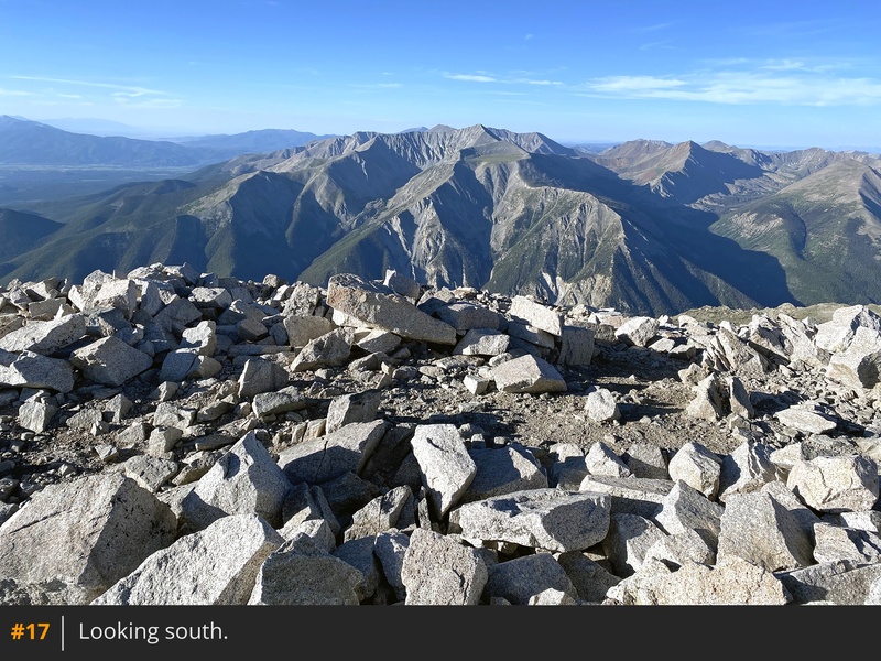
16,
17.


 GPX Track File
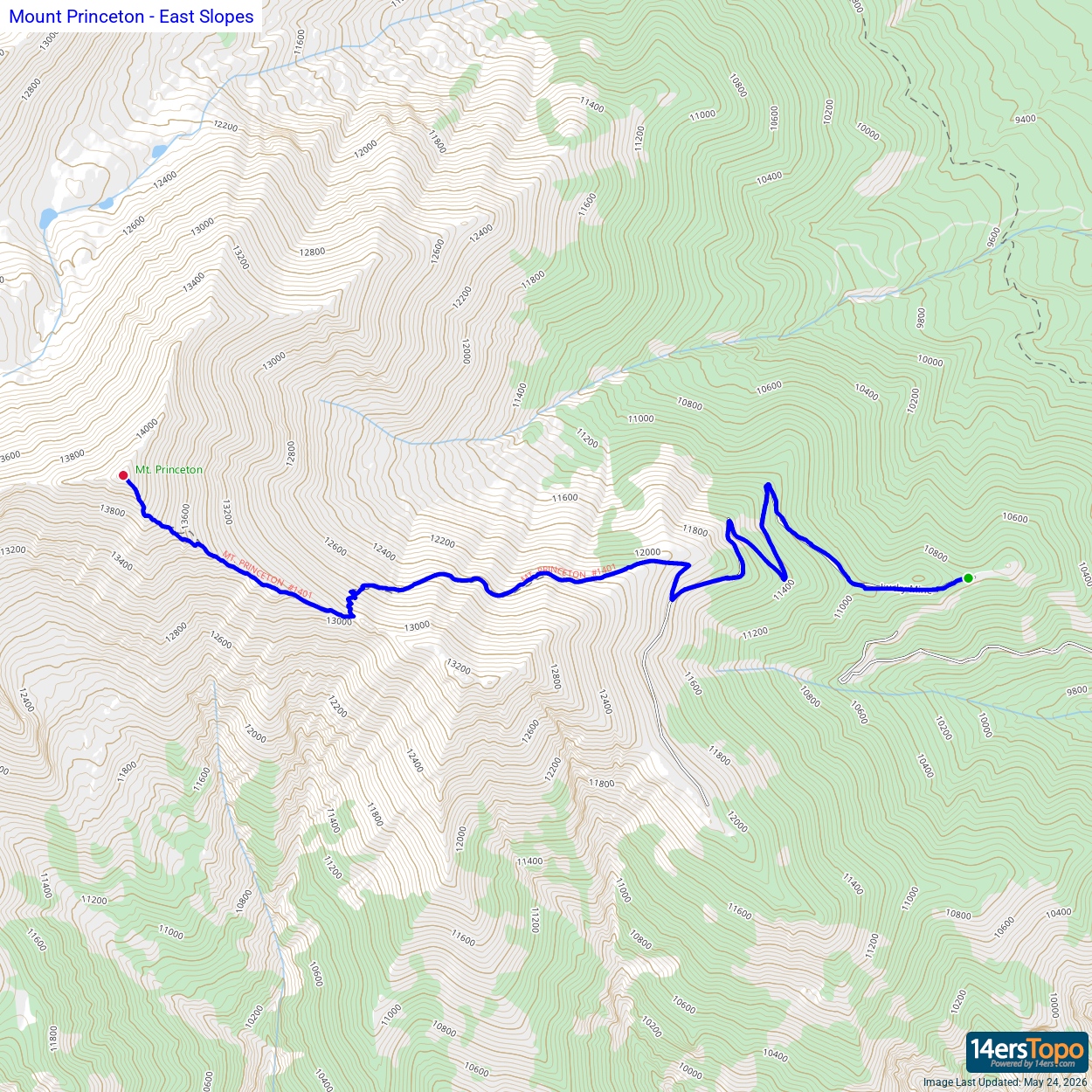


