From the parking area, start up the trail and cross a footbridge -
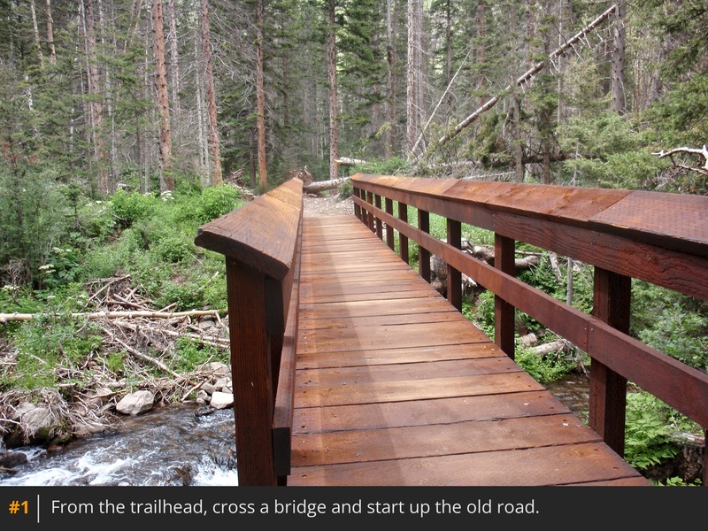
1. Walk 2.5 miles up the old South Colony Lakes (Approach) road to reach a junction, near 11,100' -
2. Turn right, leave the road, and continue west through the forest -
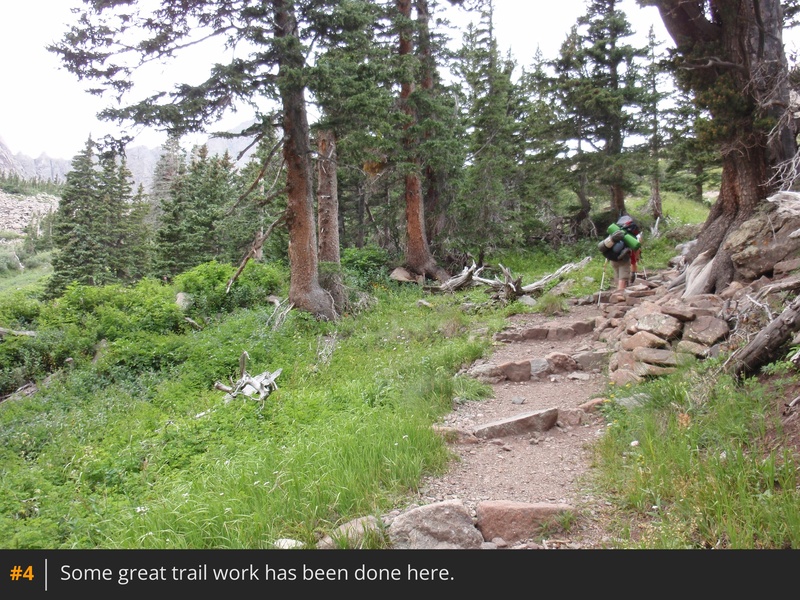
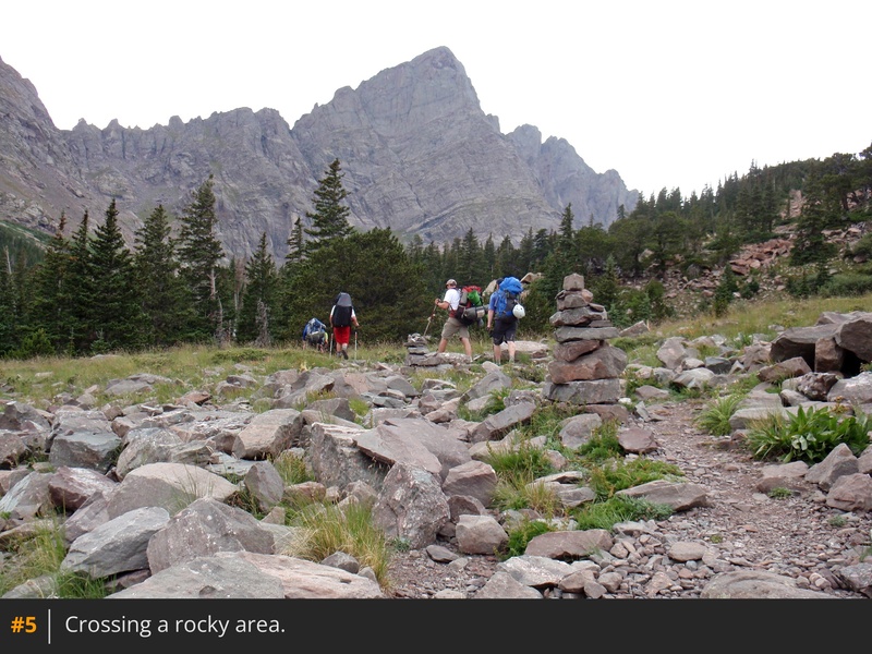
3 and
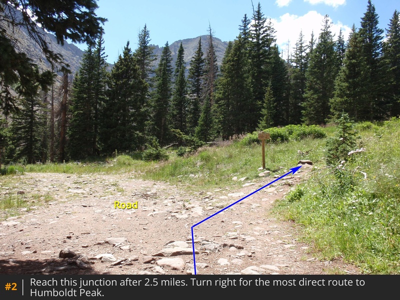
4. After 0.6 mile on the trail, cross a rocky area -
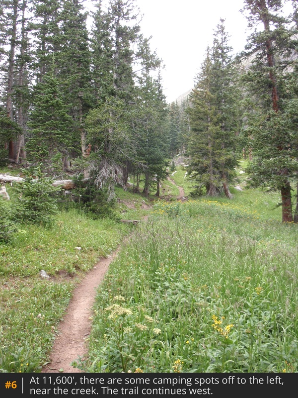
5. Near 11,600', the trail passes some camping spots off to the left -
6. After nearly a mile on this trail, exit the trees and continue through willows to the north of the creek and Lower South Colony Lake -
7.
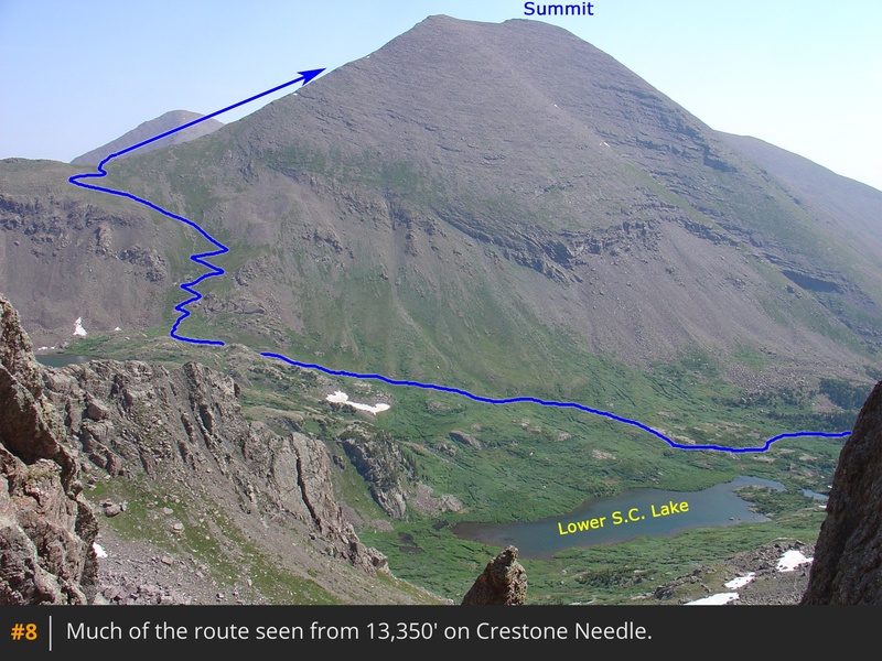
Taken from Crestone Needle,
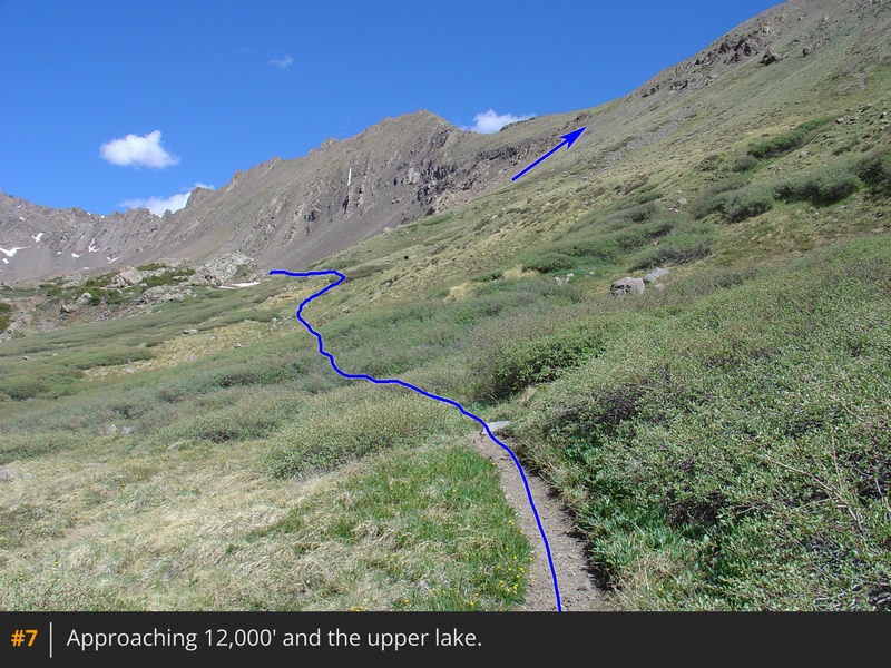
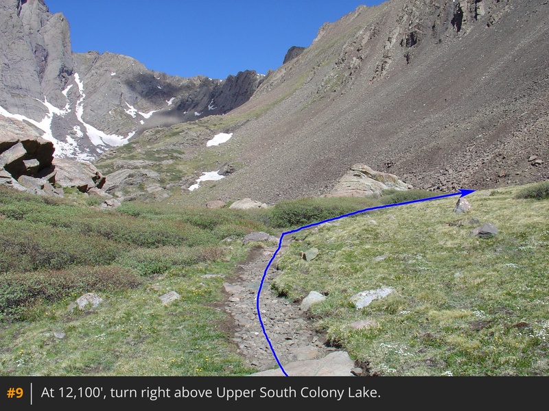
8 is a look at the remaining route. Follow the trail northwest up the hillside and locate a trail junction
above the upper lake -
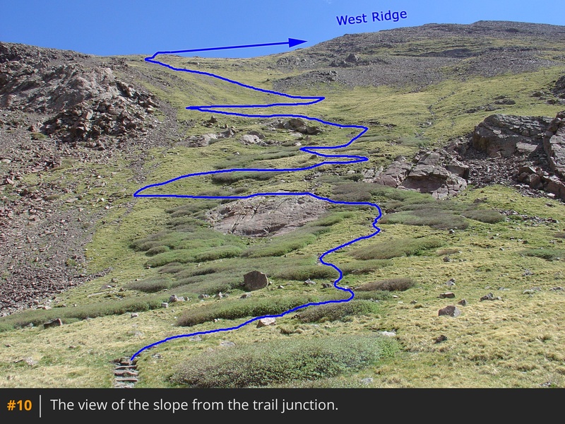
9. Turn right and continue toward a slope below the west ridge -
10.
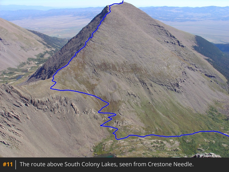
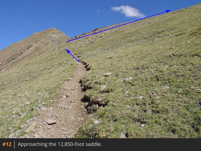
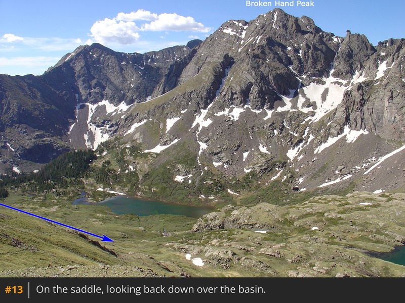
11 is another broad look at the route from Crestone Needle. Switchback north toward the saddle between Unnamed Point 13,290' and Humboldt. After about 700 feet of gain, reach the 12,850-foot saddle
-
12 and
13.
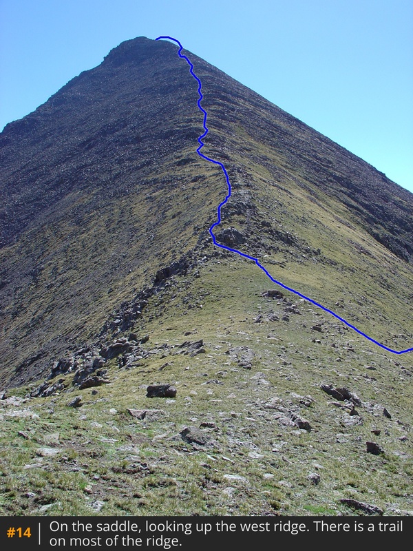
From the saddle, Humboldt's west ridge rises to the east -
14. Start up the ridge by following the trail on or slightly left of the ridge crest -
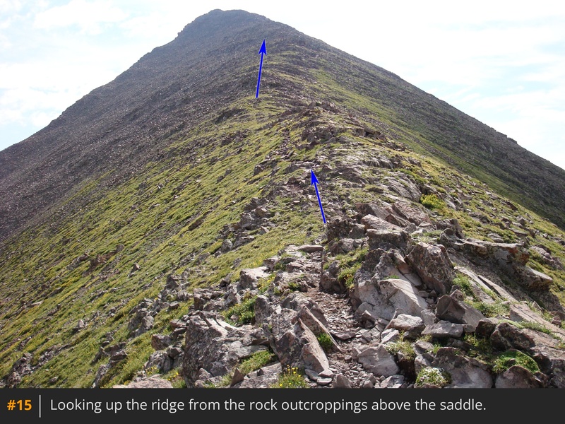
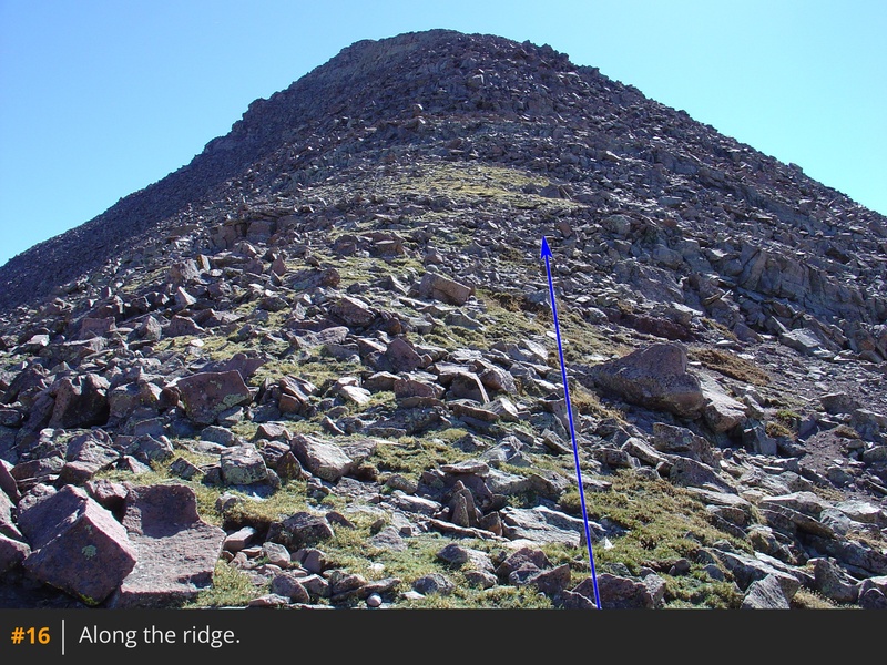
15. Above 13,700', there are some areas where it's easy to lose the trail, so stay near the ridge and look for small cairns and trail segments -
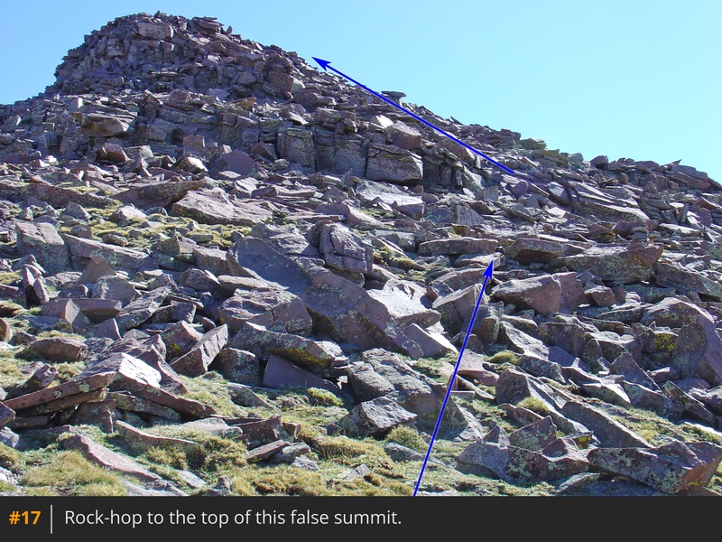
16. Keep hiking until you reach a bit more difficult terrain below a false summit. Traverse right for a short distance (
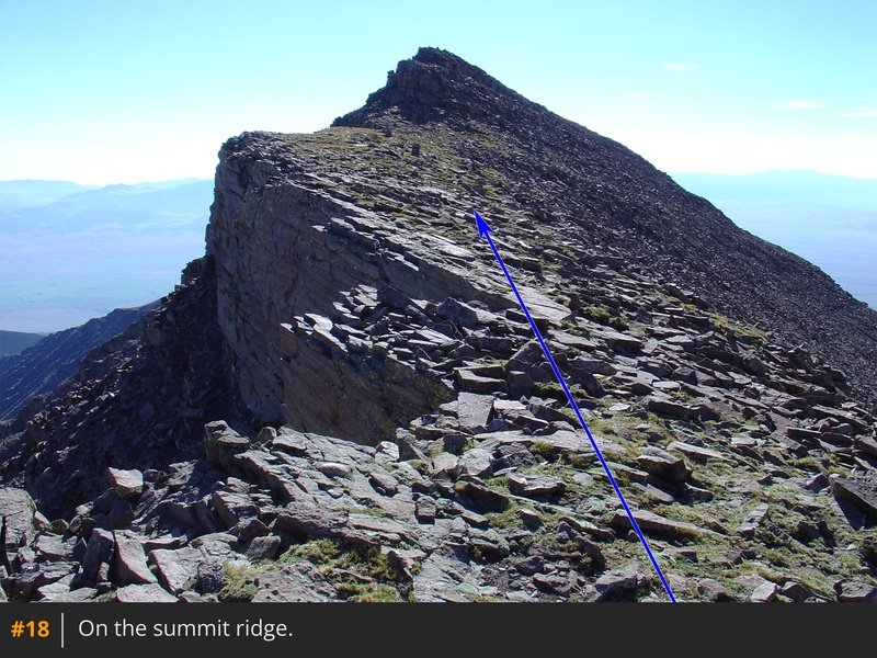
17) before zig-zagging up through the rocks to reach the west end of the summit ridge. As you approach the top of the ridge, the summit comes into view -
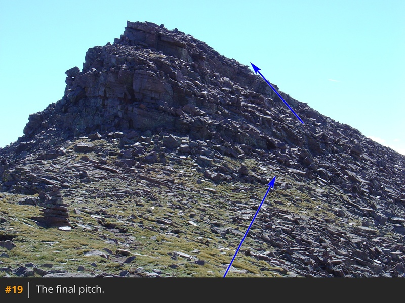
18. Walk 0.25 mile east and climb the right side of the final pitch (
19) to reach the summit -
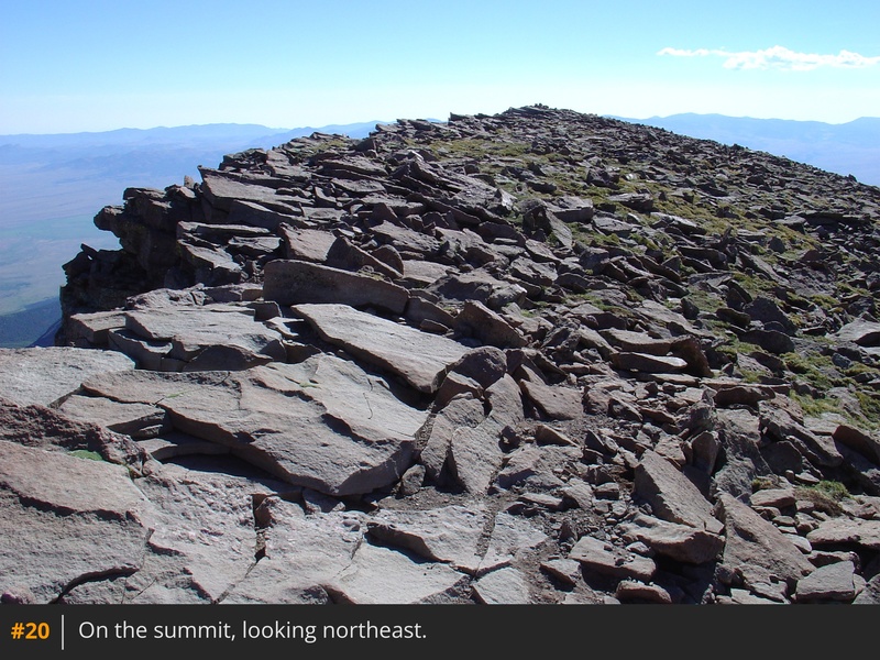
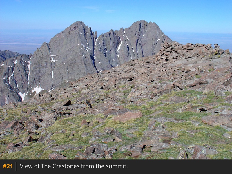
20 and
21.


 GPX Track File
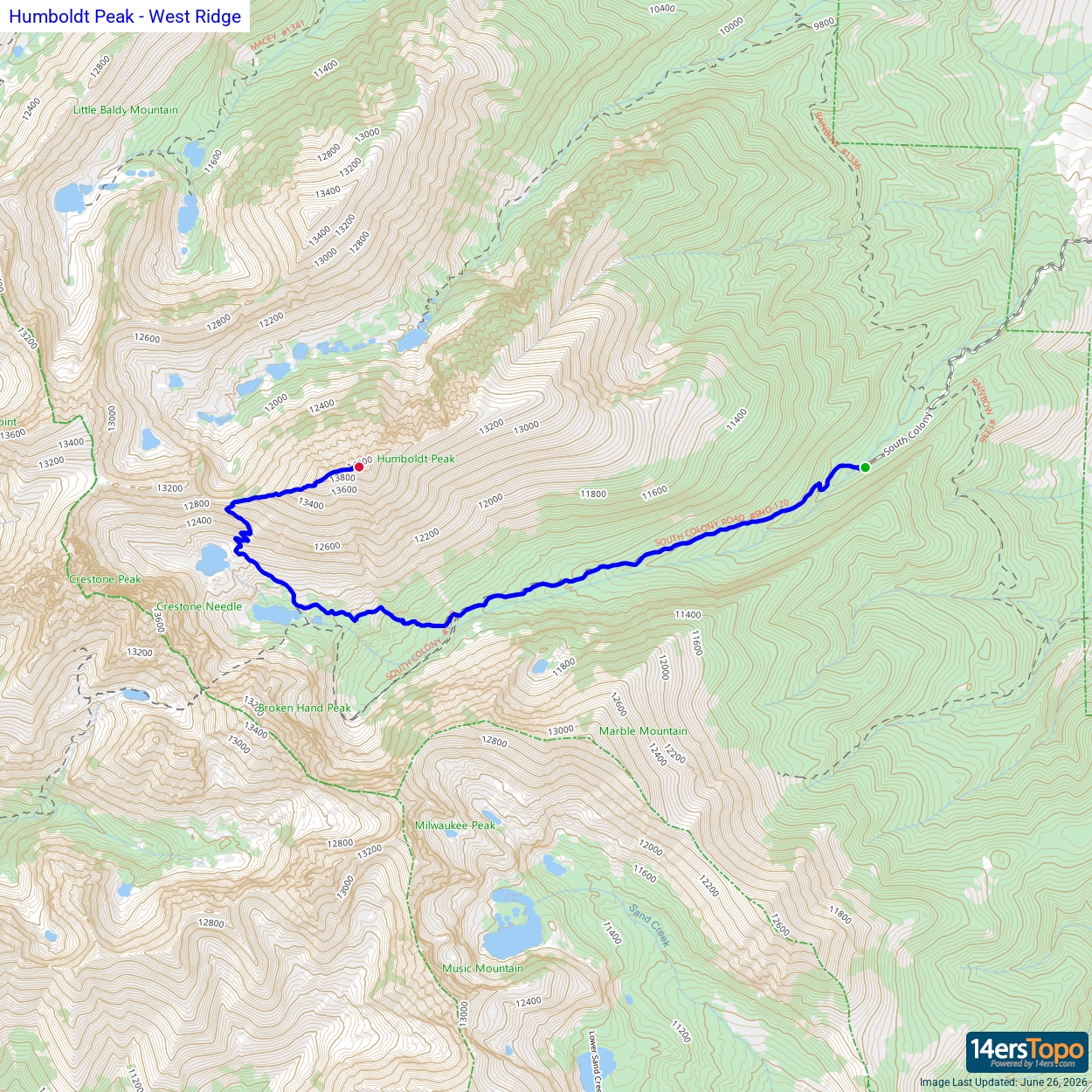


