This is a long, difficult, Class 3 route; If you're looking for an easier Class 3 in the area, try Father Dyer's East Ridge.
First, follow the
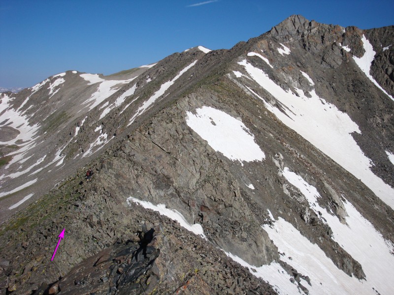
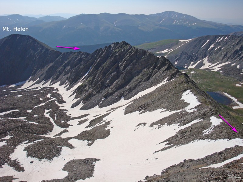
Mt. Helen - East Slope route to reach the summit of Helen. Look west to see the long ridge to Father Dyer and Crystal Peaks -
1 and
2. Hike down the rugged ridge (
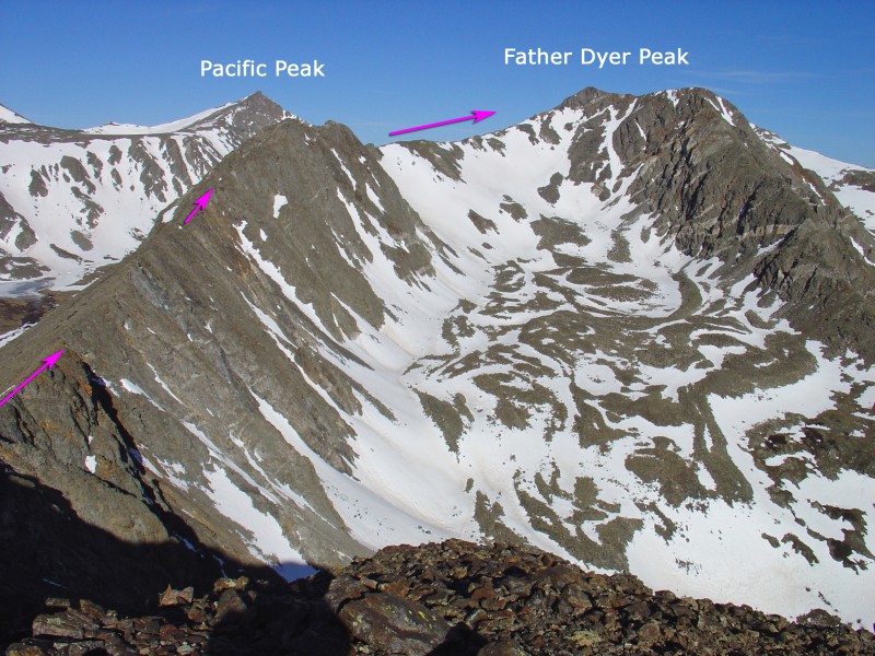
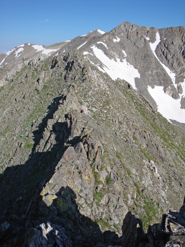
3 and
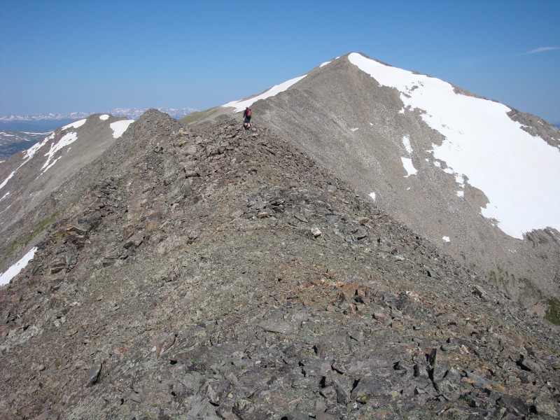
4) to reach a low point, nearly 300' below the summit of Helen -
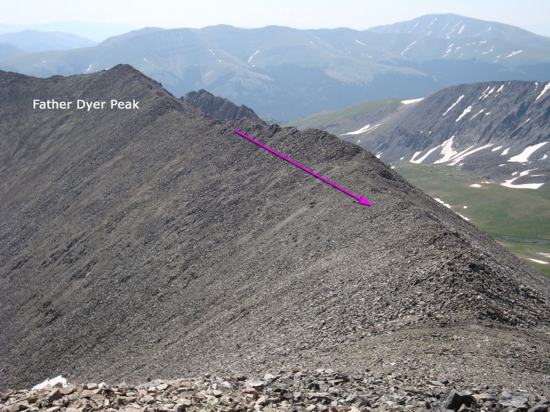
5 and
6. Continue west along the ridge crest (
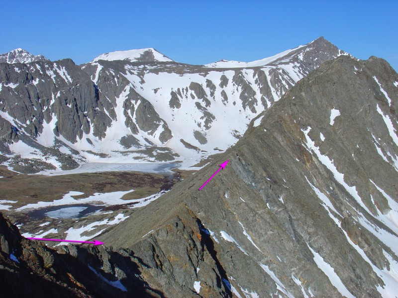
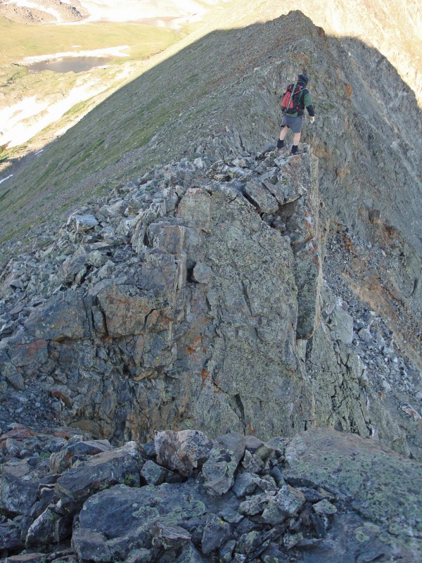
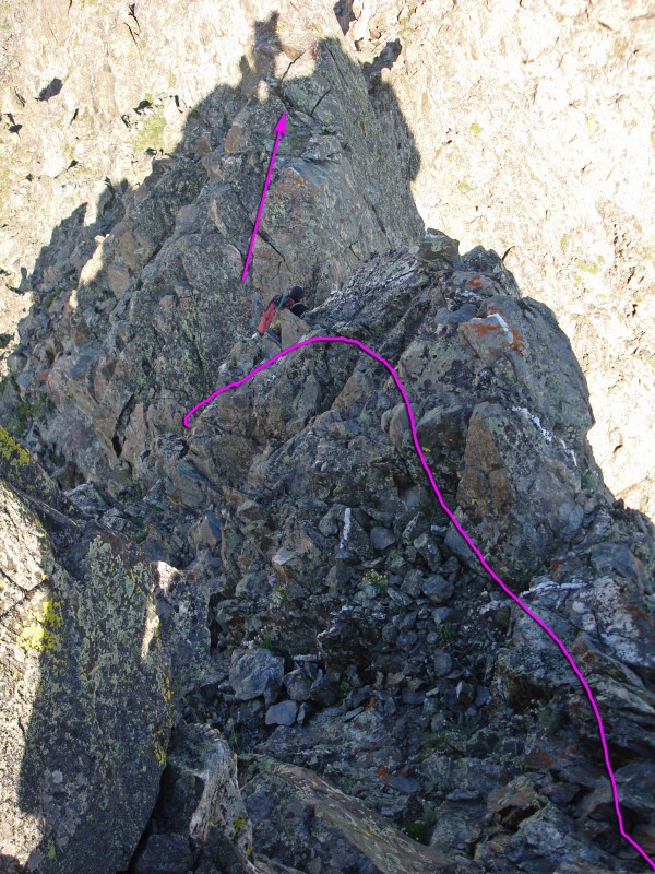
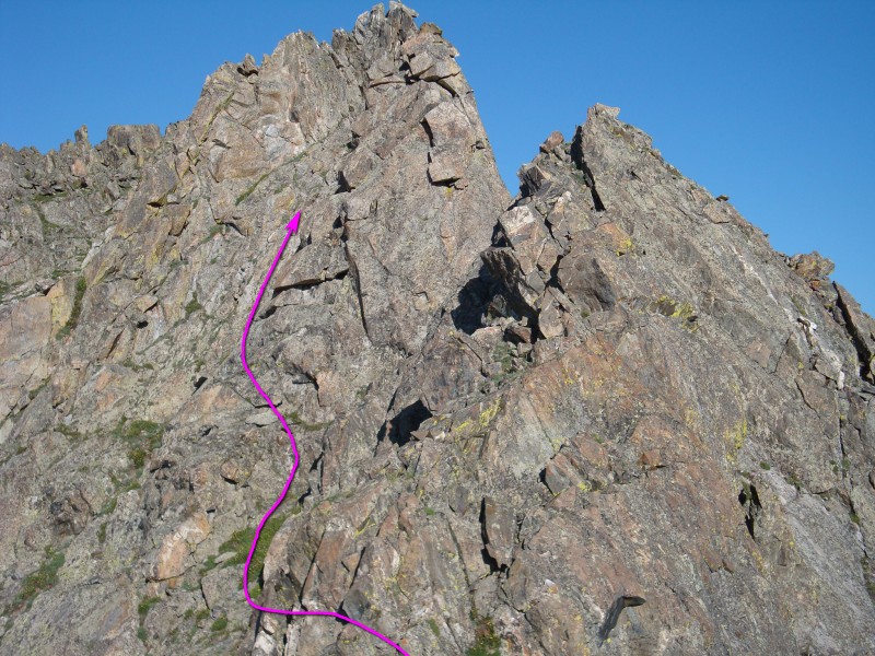
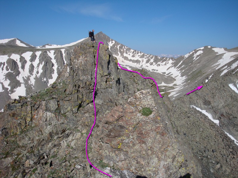
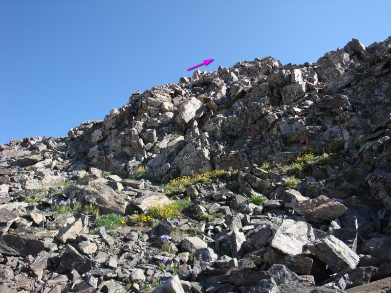
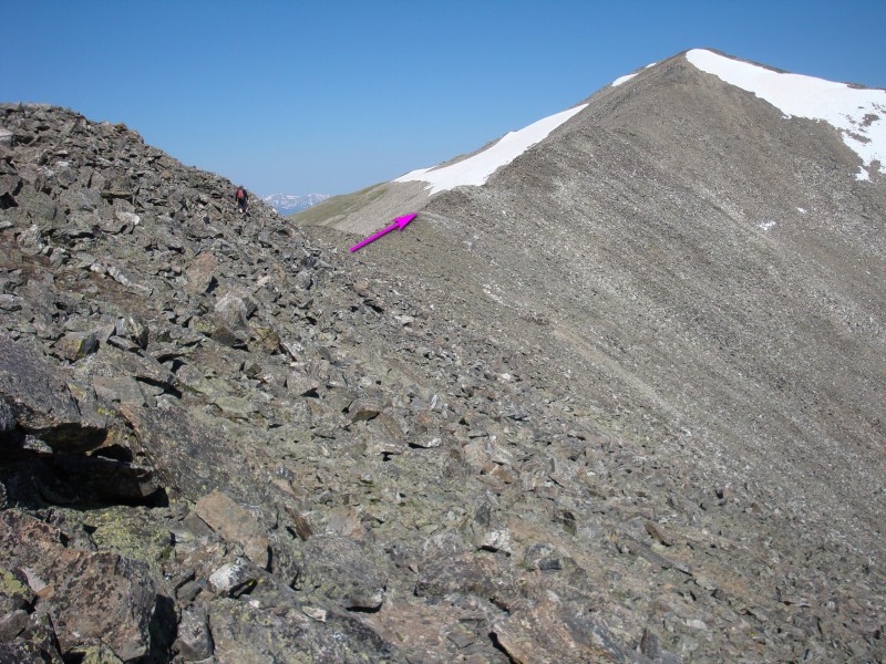
7) to reach more difficult terrain near 13,000' -
8 and
9. Stay on the ridge crest (
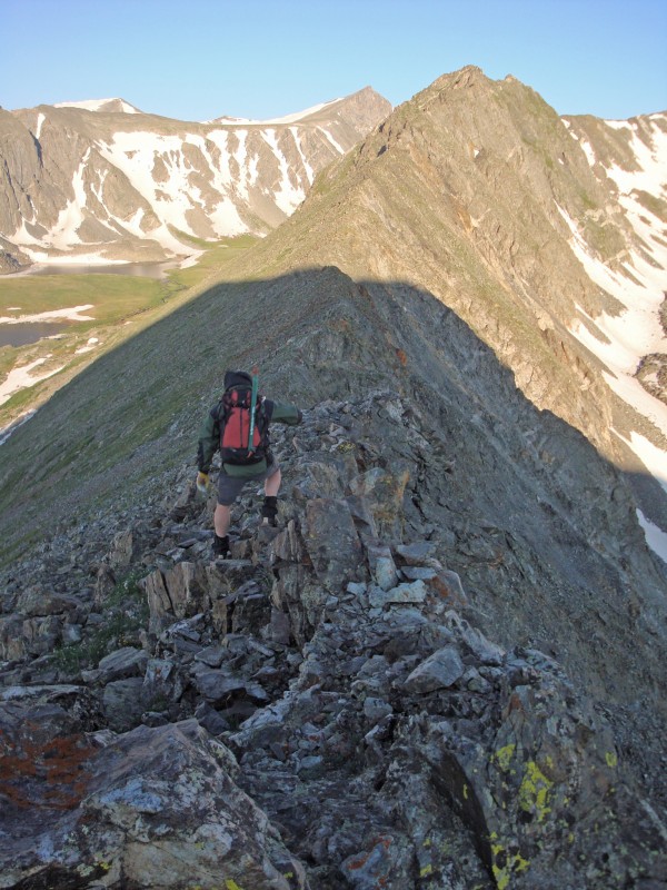
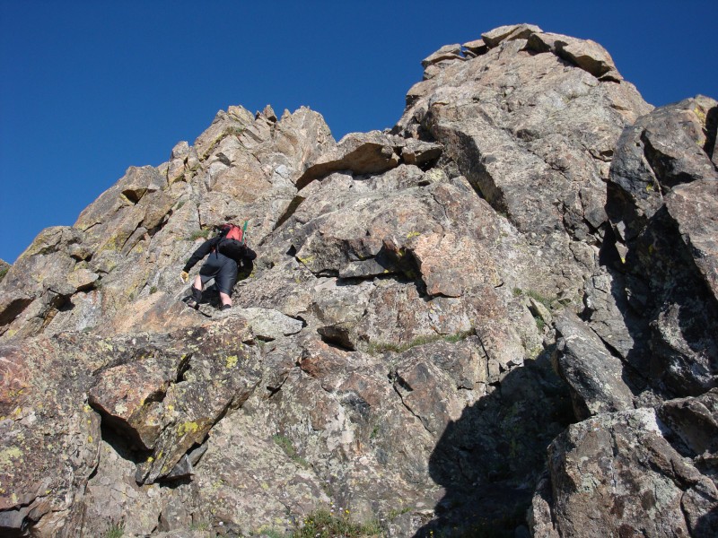
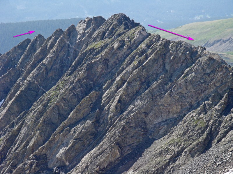
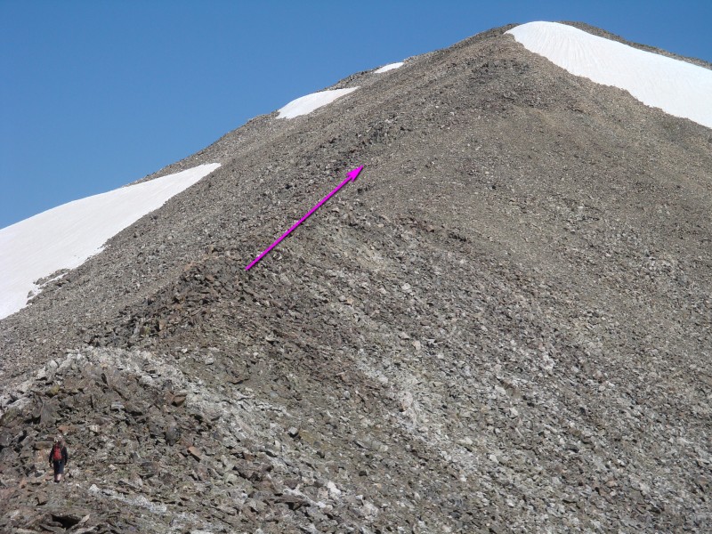
10 and
11) and scramble over a few points along the ridge -
12 and
13.
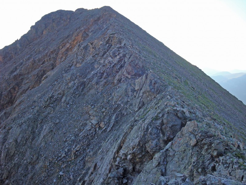
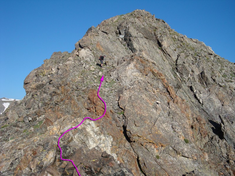
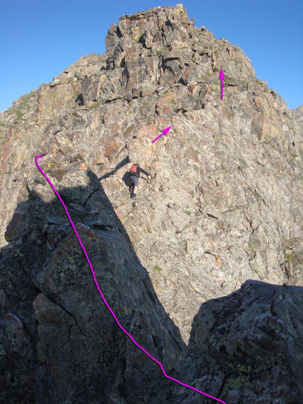
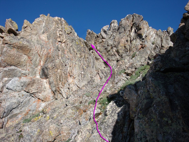
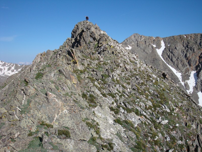
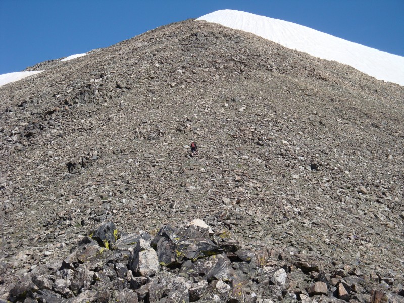
14 and
15 show the location of a difficult, narrow notch which holds some loose rock. Downclimb a steep, exposed section (
16) and climb left of the ridge crest to reach the highest part of the ridge -
17,
18,
19 and
20.
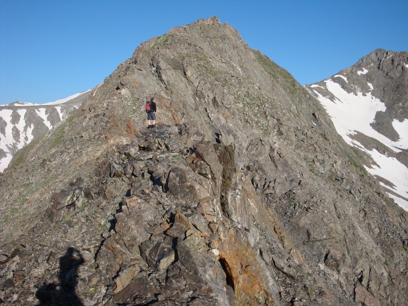
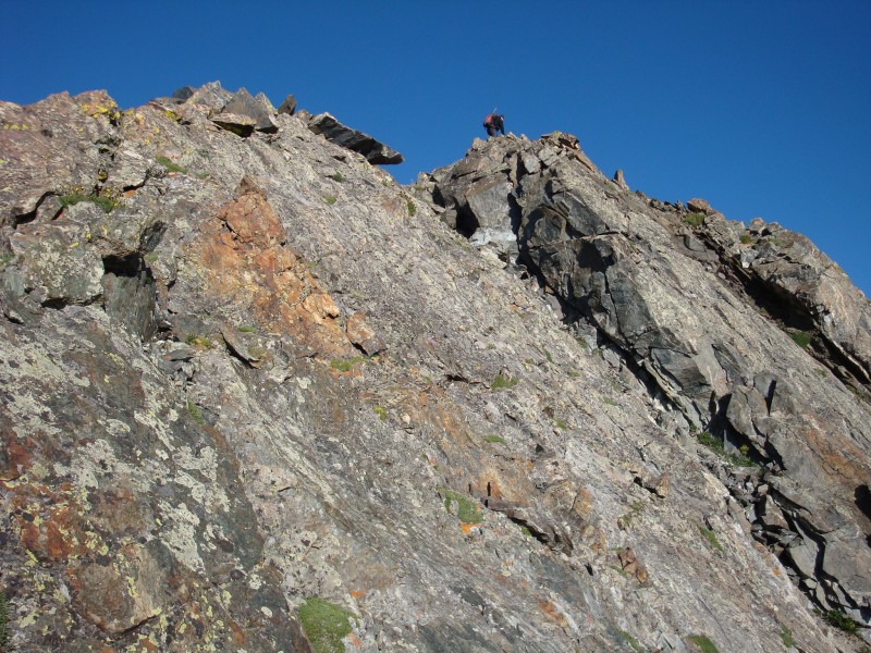
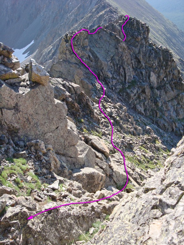
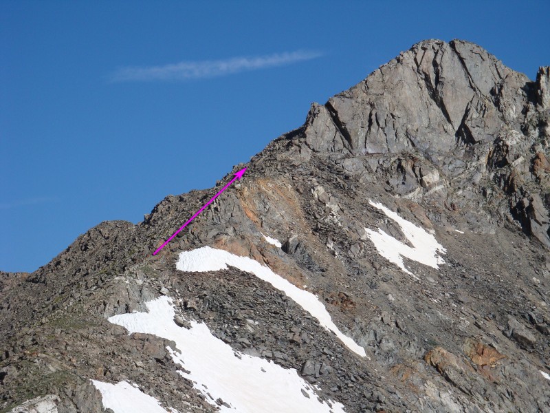
Plenty of tedious climbing is behind you, but it's not over -
21. Continue along the ridge to reach another prominent point -
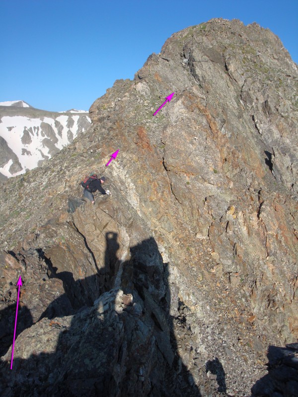
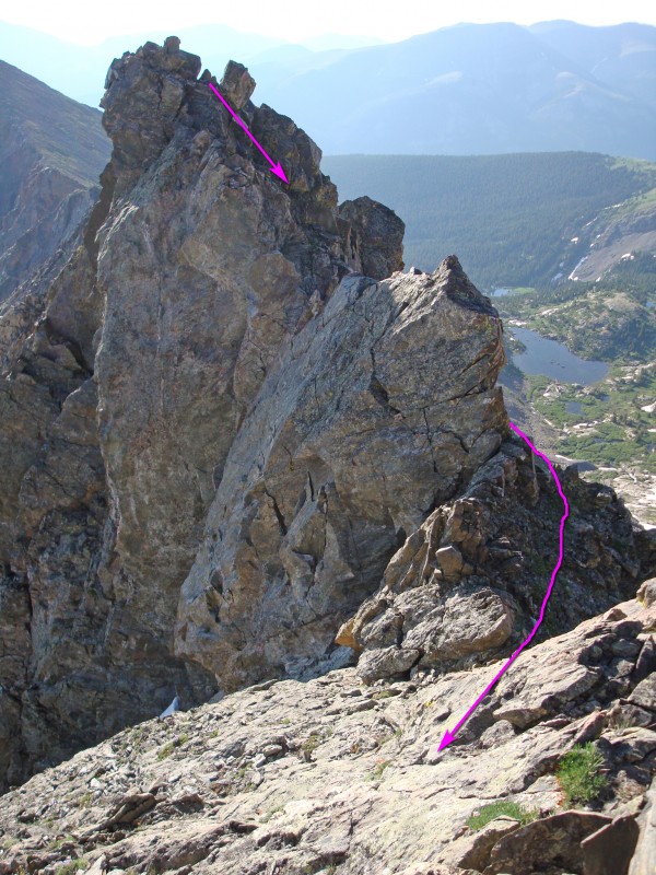
22. Keep scrambling (
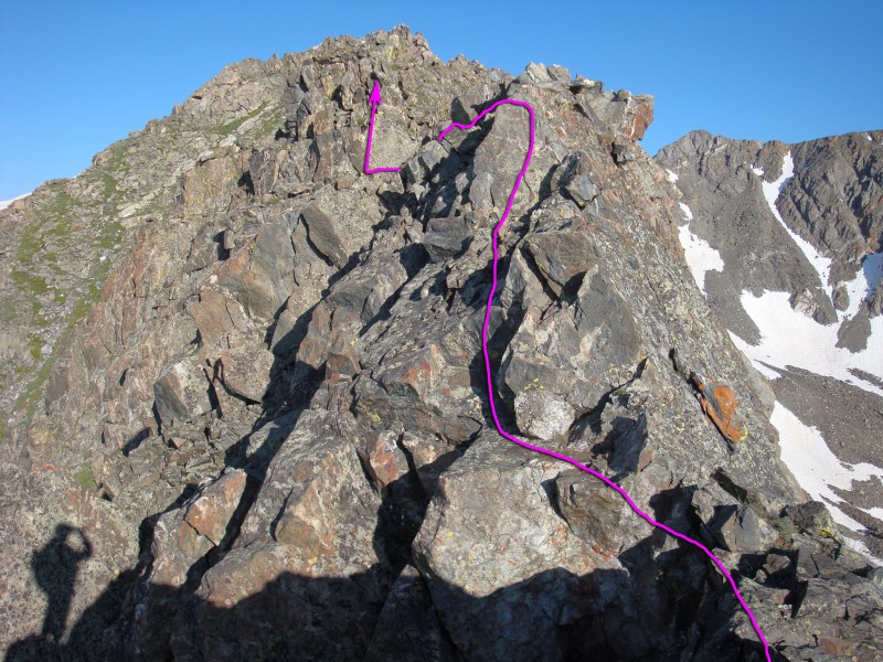
24), downclimb some tough rock (
25) and pass over one last point (
26) to reach the saddle before the summit of Father Dyer -
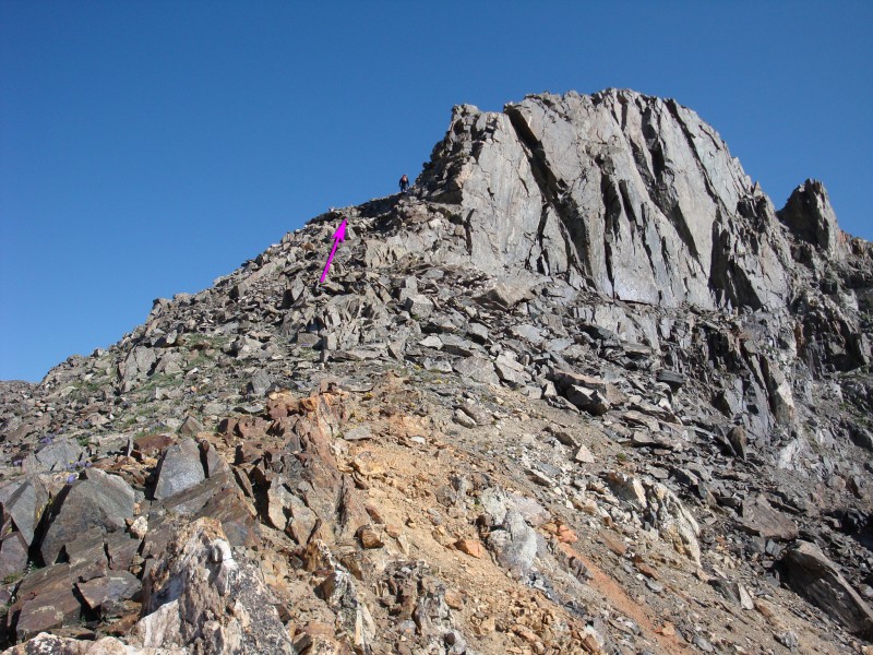
27. Walk along the saddle, begin climbing toward the top (
28) and rock-hop up the final pitch (
29 and
30) to reach the summit -
31.
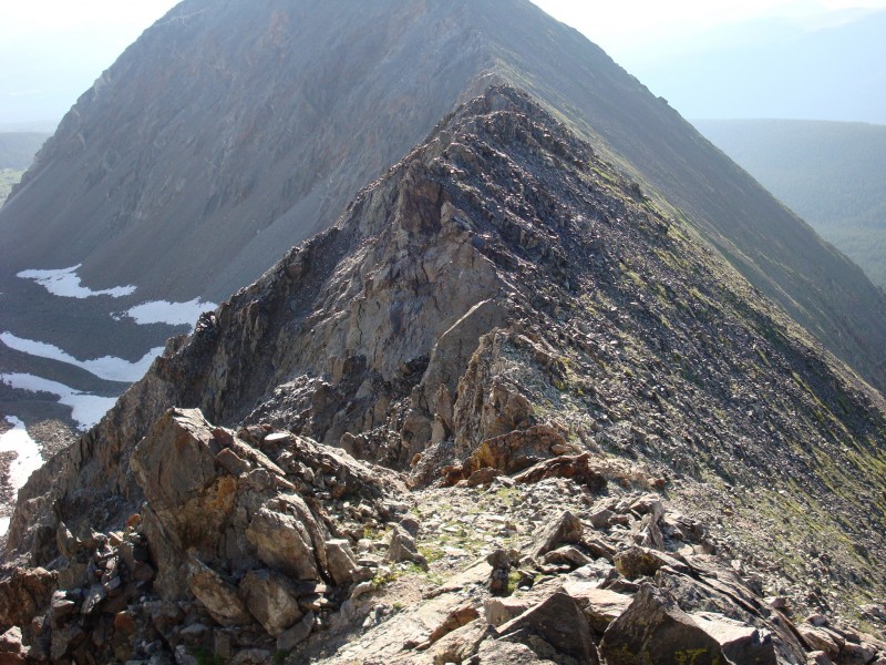
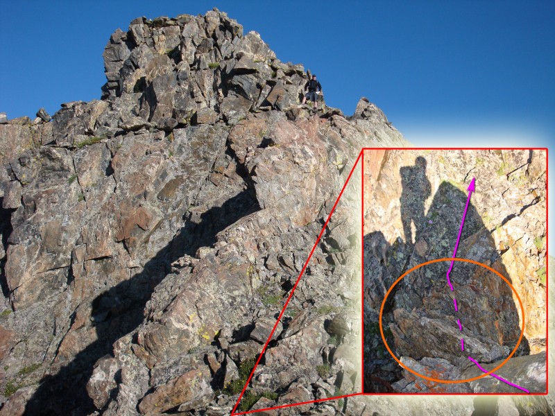
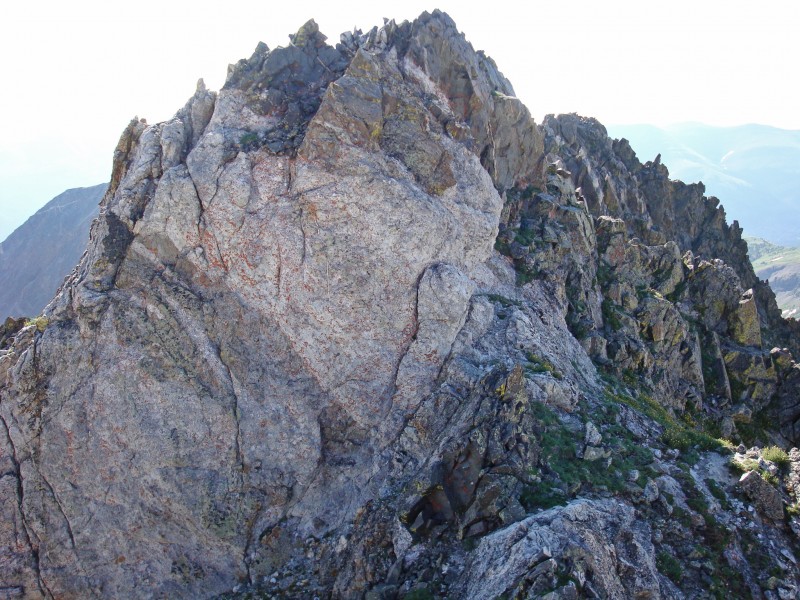
32 is a close-up of the ridge between Helen and Father Dyer.
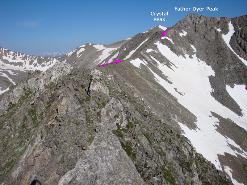
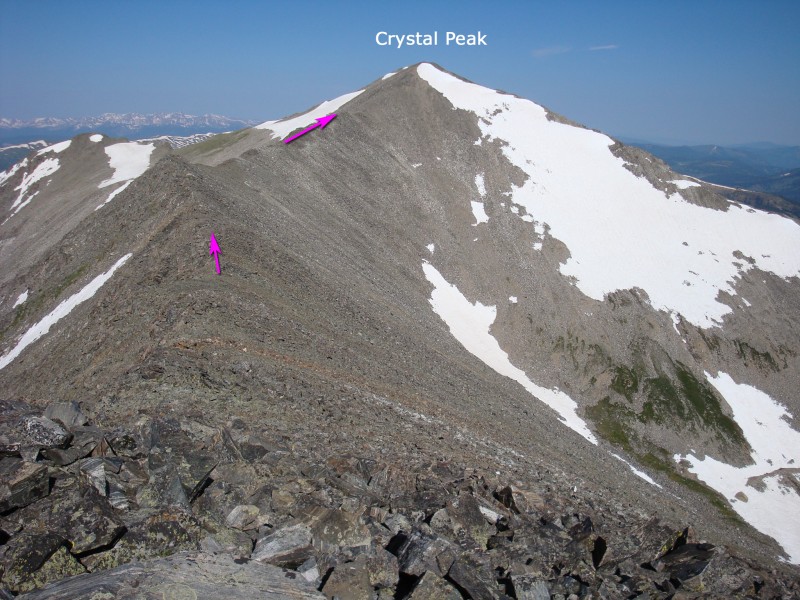
From the summit of Father Dyer, hike west along the ridge to Crystal Peak -
33 and
34. Rock-hop (
35) down to the saddle between the two peaks and hike the final 350' to the summit -
36,
37 and
38. Descend Crystal Peak's
Northeast Ridge to the Wheeler trail, at 11,400' in lower Crystal Creek. Turn right (south) on the Wheeler Trail and hike 0.7 mile back to your starting point on the south end of the Aqueduct road.


 GPX
GPX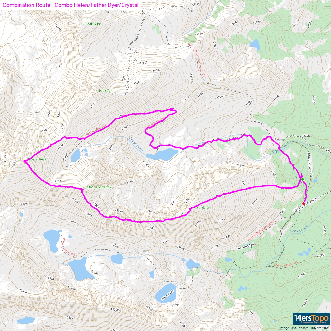


