From the trailhead, follow the signed trail for Grizzly Gulch. Walk a few hundred feet and cross a bridge -
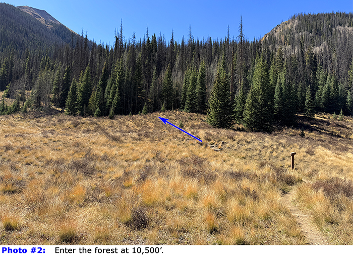
1. Pass through a meadow to enter the forest at 10,500' (
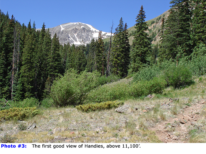
2) and follow the well-defined trail for about a mile before Handies comes into view -
3. Continue another mile through trees and clearings to reach 11,800' where the view opens up, and Handies is straight ahead -
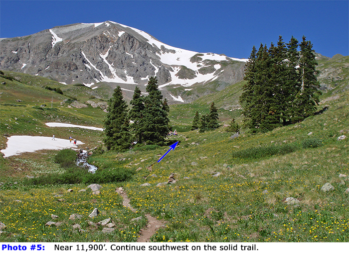
4. Pass the final trees (
5), and cross the stream once or twice as you hike up the center of the gulch -
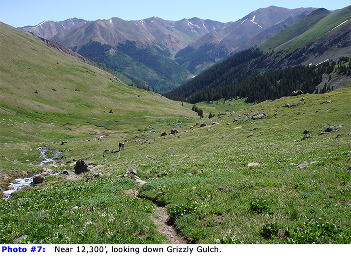
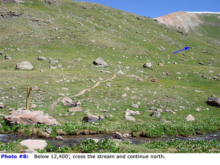
7. Above 12,300', you'll reach a trail sign at the final creek crossing -
8.
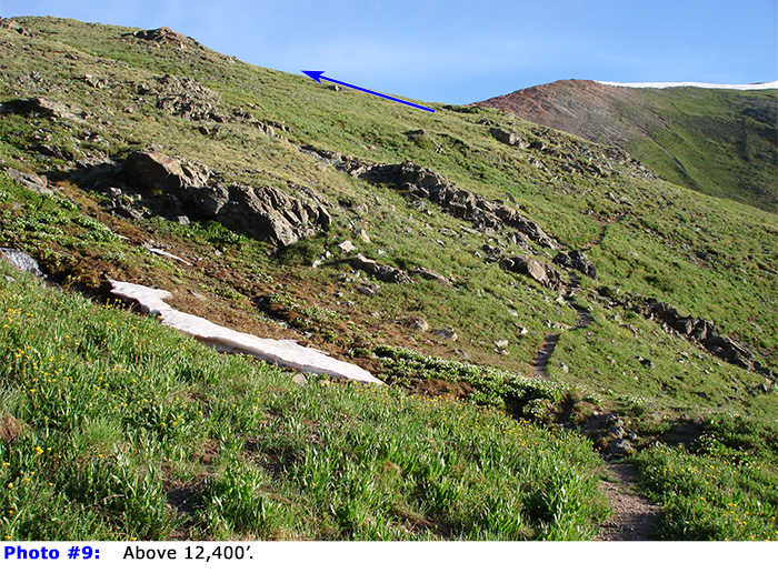
From here, it's roughly 1.5 miles to the summit, but the route takes a bit of a tour to the north before it gains Handies' north ridge. Follow the trail north up a hillside -
9. Near 12,600', the trail turns left and gains a flatter area, just west of the ridge -
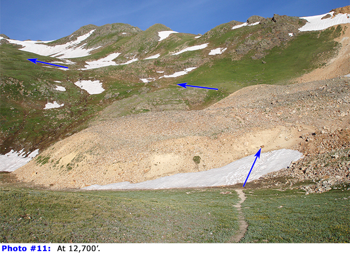
10. Continue to a yellow-colored, dirt runout -
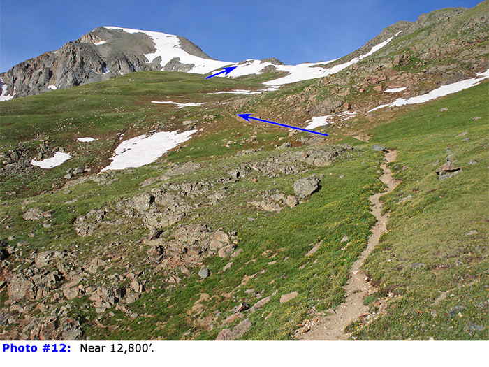
11. After hiking over the dirt pile, turn left and hike southwest up grassy terrain -
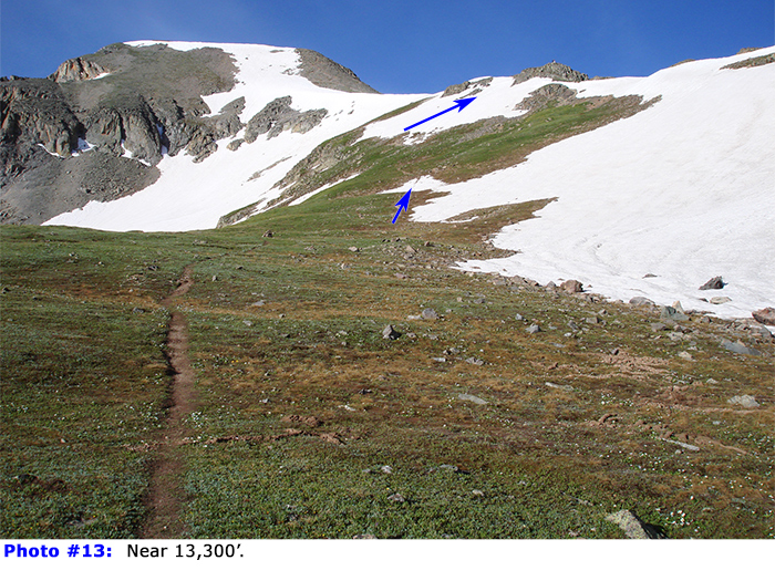
12. Continue to 13,300' where most of the remaining route is visible -
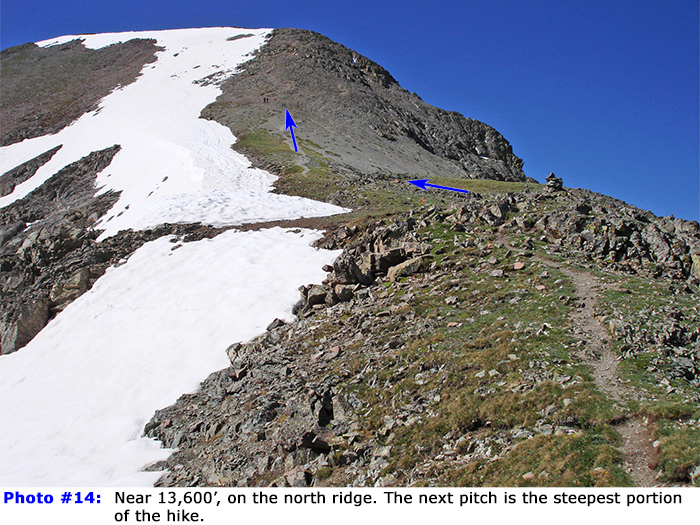
13. Follow the trail (or the general location of the trail if snow-covered) as it climbs to the ridge crest, at 13,600' -
14.
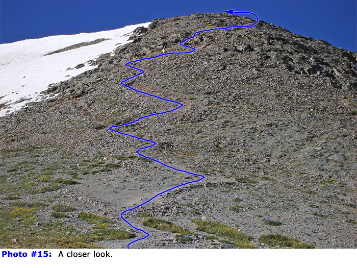
Walk south to reach a steeper pitch on the upper ridge and zigzag higher -
15 and
16. Near 13,950', the angle eases as the summit comes into view -
17. Stroll across the summit ridge to reach the top -
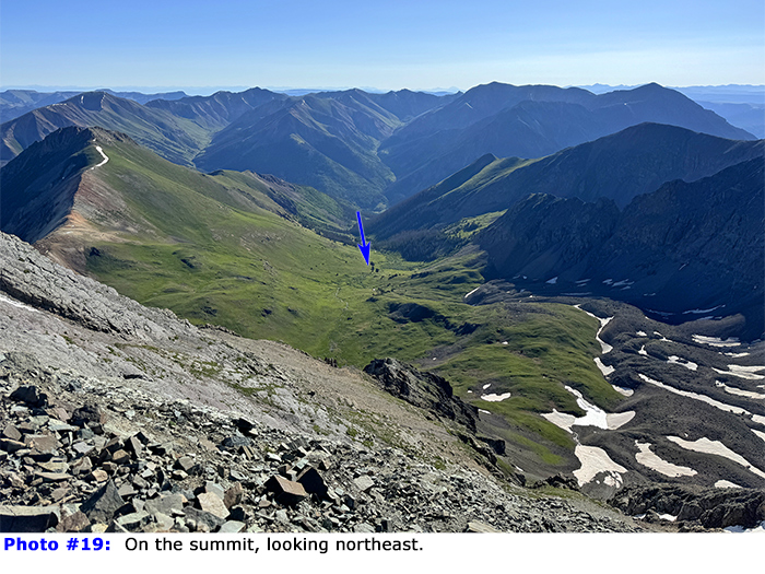
18 and
19.

 GPX Track File


