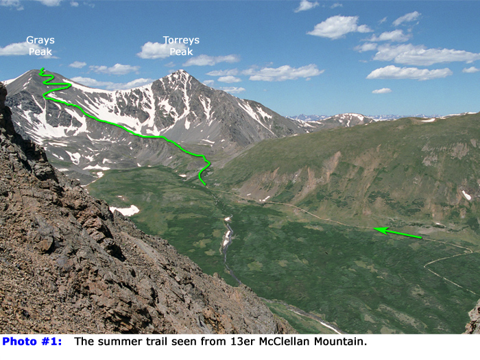
1 provides a distant view of the route. Begin the hike by crossing the large bridge that spans the stream in Stevens Gulch and follow the well-defined Grays trail -
2 and
3. Grays Peak will soon come into view -
4. From the trailhead, hike approximately 1.5 miles to reach an information sign
-
5. Shortly after passing the sign, continue up to a flat, rocky area -
6. Follow the trail around a small ridge extending south toward the east side of Grays -
7. Torreys Peak will be to your right, while Grays lies ahead to the southwest.
Above 12,600', the trail swings left, following along the west side of the rocky ridge -
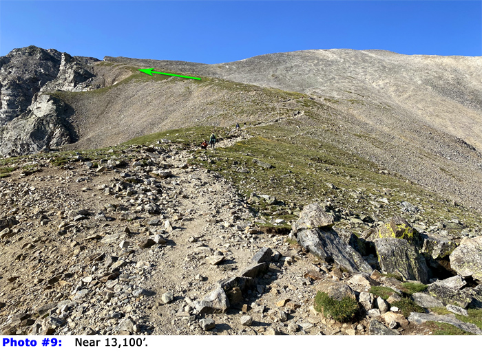
8. Continue upward beyond 13,000' (
9) to reach a trail junction
-
10. Stay left on the Grays trail as turning right leads to Torreys Peak. Proceed east to reach a 13,400-foot corner overlooking Stevens Gulch and a rock tower
-
11. From this corner, the trail continues toward the upper, north slope -
12. After a brief elevation gain, the trail turns right and begins a long westward traverse across the slope. Use switchbacks to ascend the final stretch of the slope (
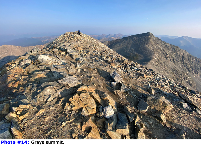
13) and reach the summit -
14 and
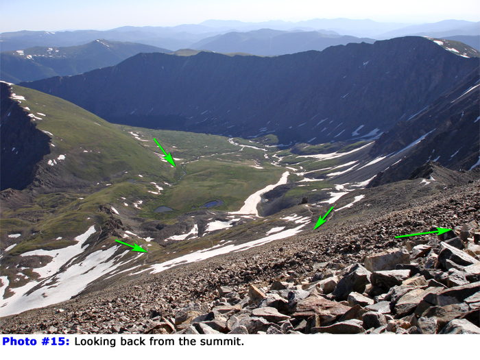
15.

 GPX Track File


