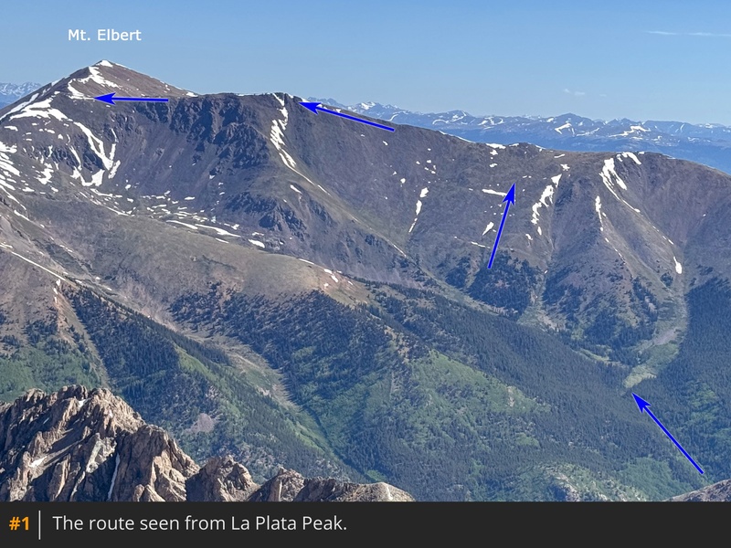
Taken from the southwest on La Plata Peak,
1 and
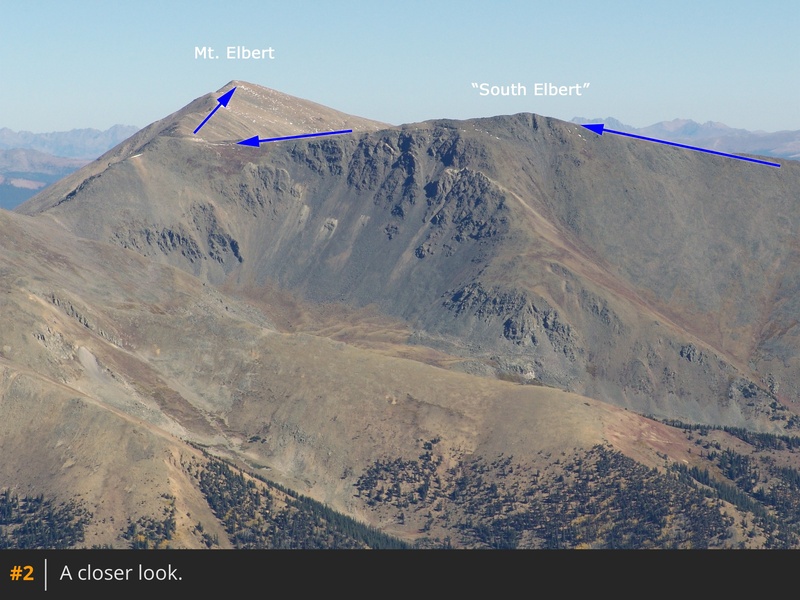
2 provide an overview of much of the route. Begin your hike by locating the trail behind the first few parking spots in the trailhead parking area -
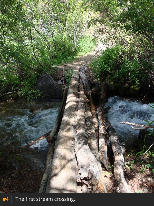
3. Hike 1 mile up through the forest until you cross to the west side of Black Cloud Creek using a small log bridge -
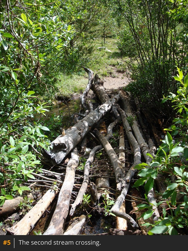
4. Continue over 0.25 mile before crossing back to the east side of the creek -
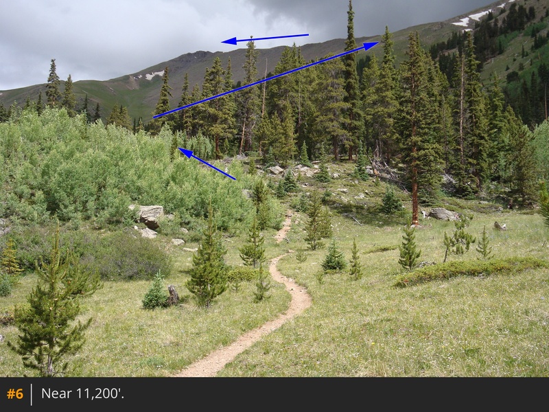
5. Ascend through a grove of small aspens to reach more open terrain near 11,200' -
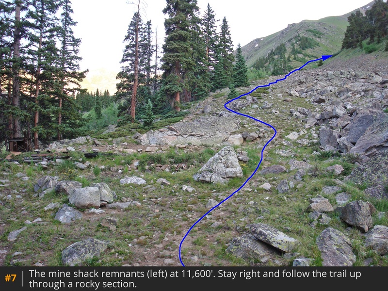
6. After 2 miles, you'll reach the remnants of an old mining shack at 11,600' -
7. Follow the trail up through rocky terrain on the right, heading toward the drainage below "South Elbert," the 14,134-foot point along Elbert's southeast ridge.
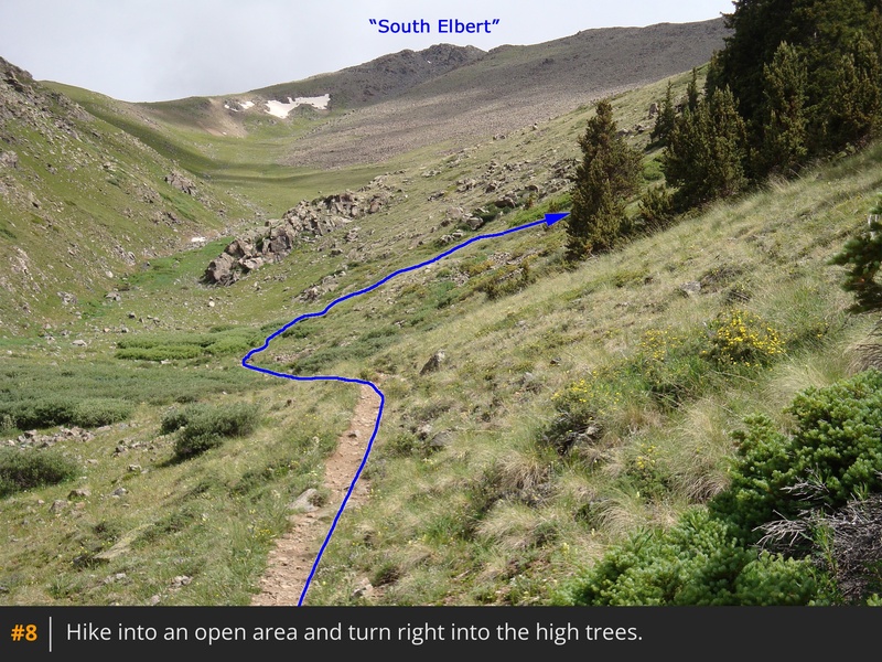
As you hike higher into the drainage, South Elbert will be directly ahead; however, the trail soon takes an easterly turn instead of continuing up the drainage -
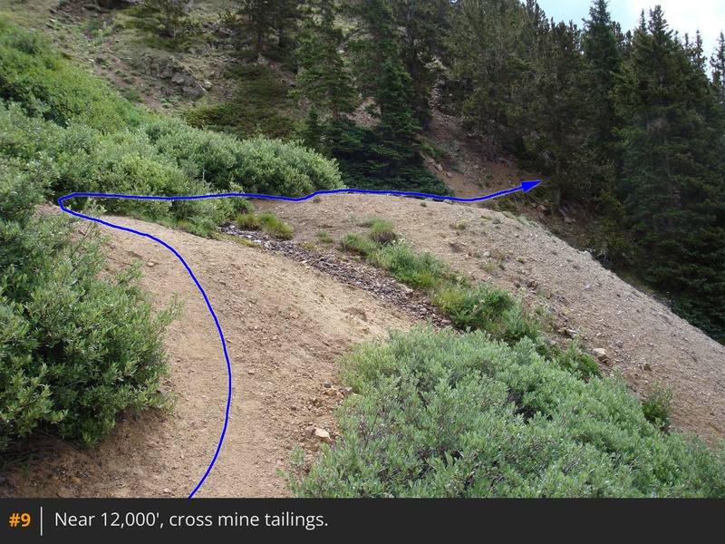
8. Continue up the hillside to reach mine tailings at 12,000' -
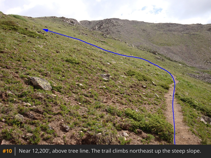
9. Cross the top of the tailings and continue eastward through the trees. Eventually, around 12,200', the trees thin out, and you begin the climb northeast up a steep slope -
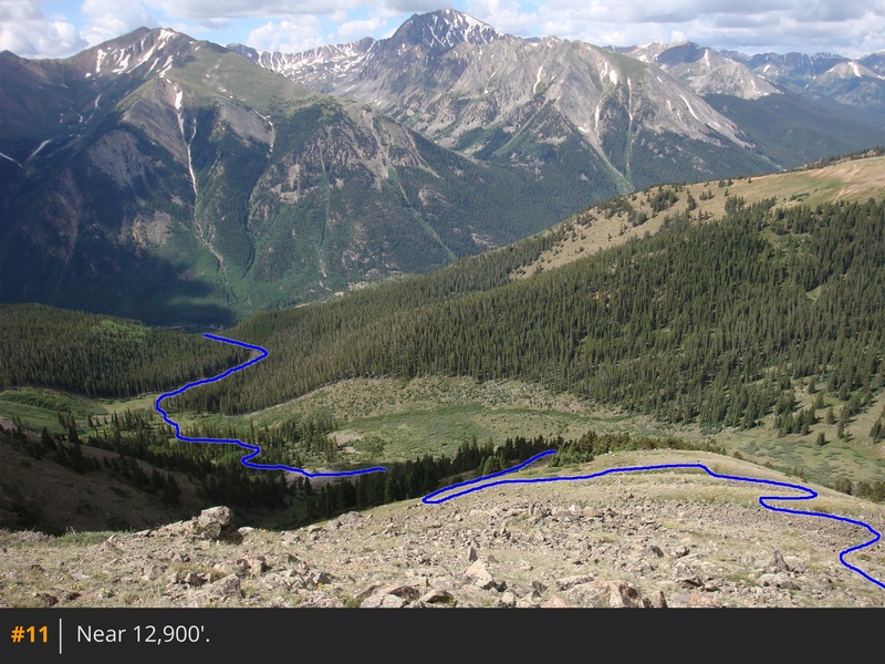
10,
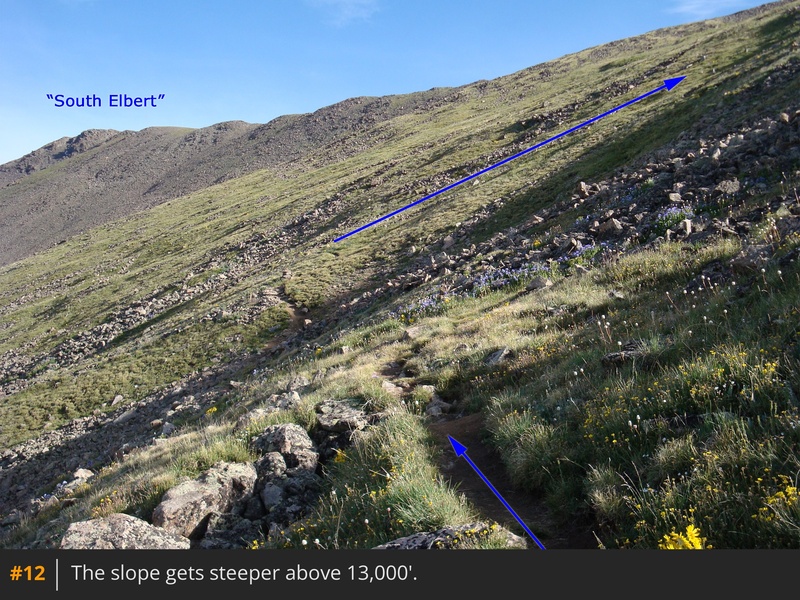
11. Above 12,900', the trail gets steeper—just keep pushing toward the ridge crest -
12.
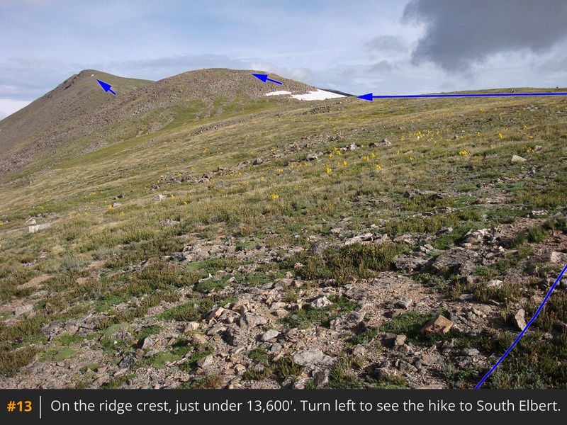
Reach the ridge crest just short of 13,600', where the next challenge awaits: nearly a mile of ridge hiking to reach the top of South Elbert -
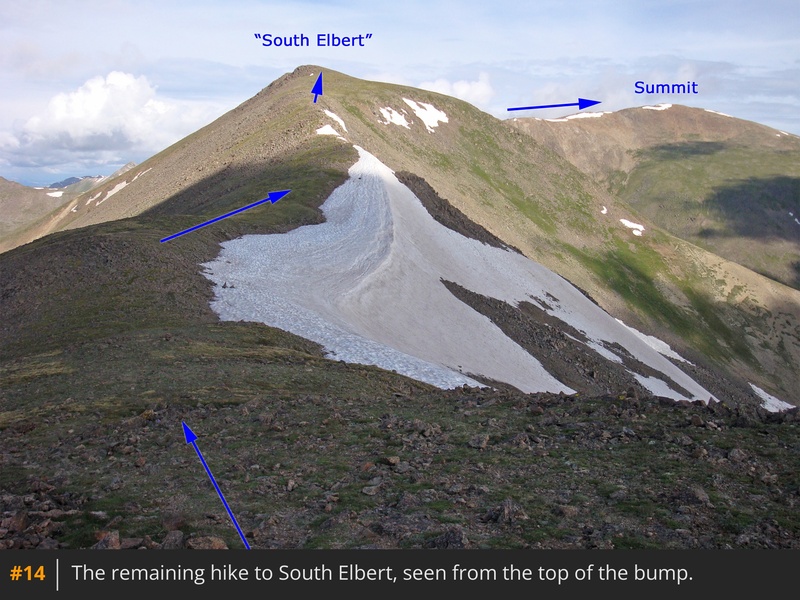
13. Hike over a gentle bump on the ridge and continue to a clearer view of the ridge -
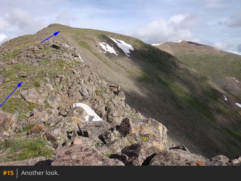
14. Descend slightly and follow a faint trail along the ridge crest -
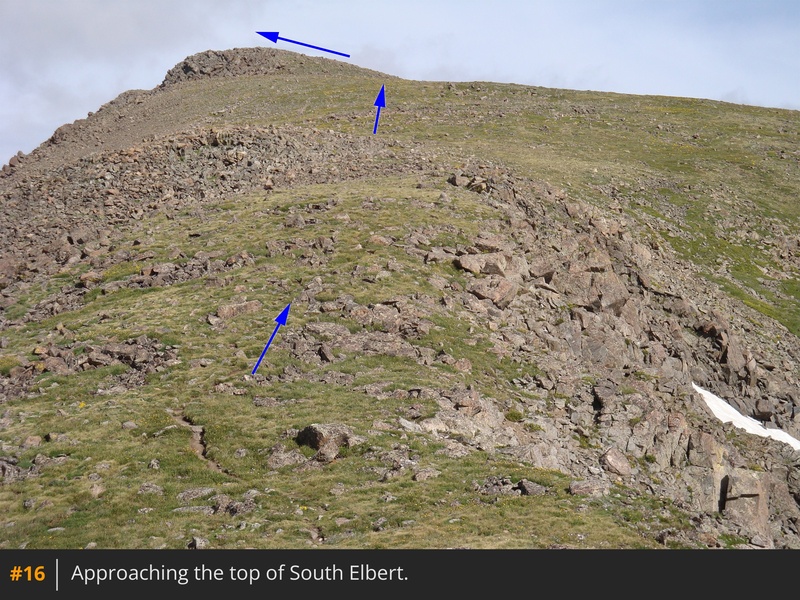
15. Hike up easy terrain (
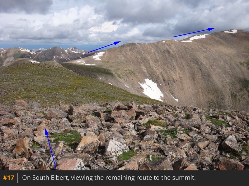
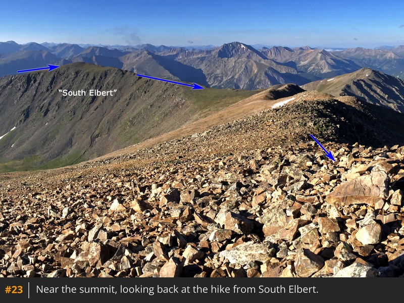
16) to reach the top of South Elbert, where you'll gain a view of the remaining route -
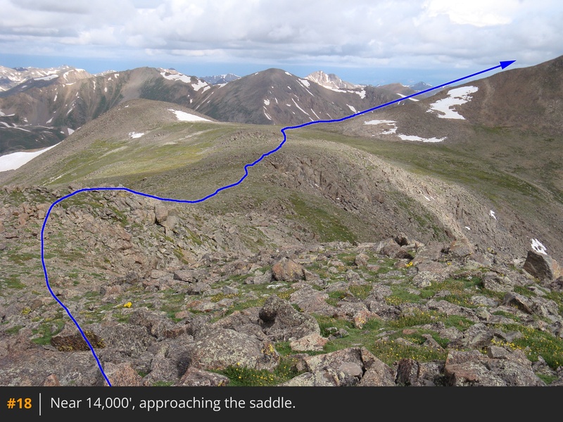
17. Continue northwest along the ridge for approximately 0.5 mile to reach the broad saddle between South Elbert and the true summit -
18,
19.
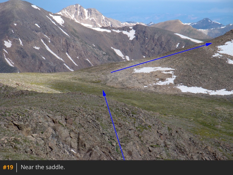
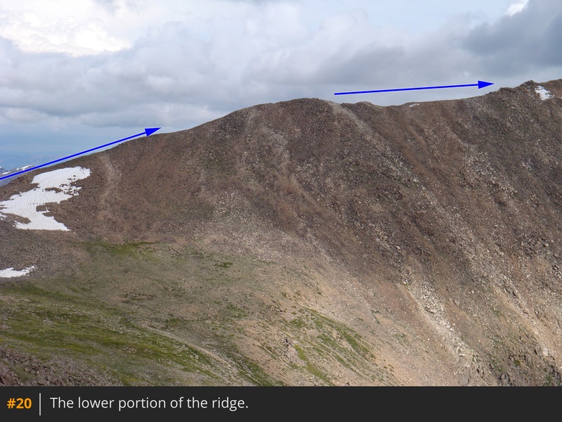
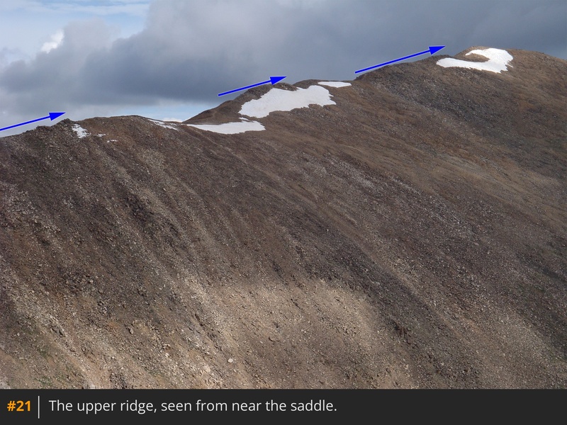
At the 13,900-foot saddle, head right (north) and hike the last 0.75 miles up the ridge to the summit -
20,
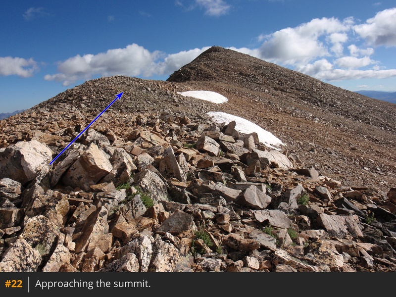
21. As you get closer, the route is straightforward—just follow the ridge crest to the summit -
22,
23.


 GPX Track File
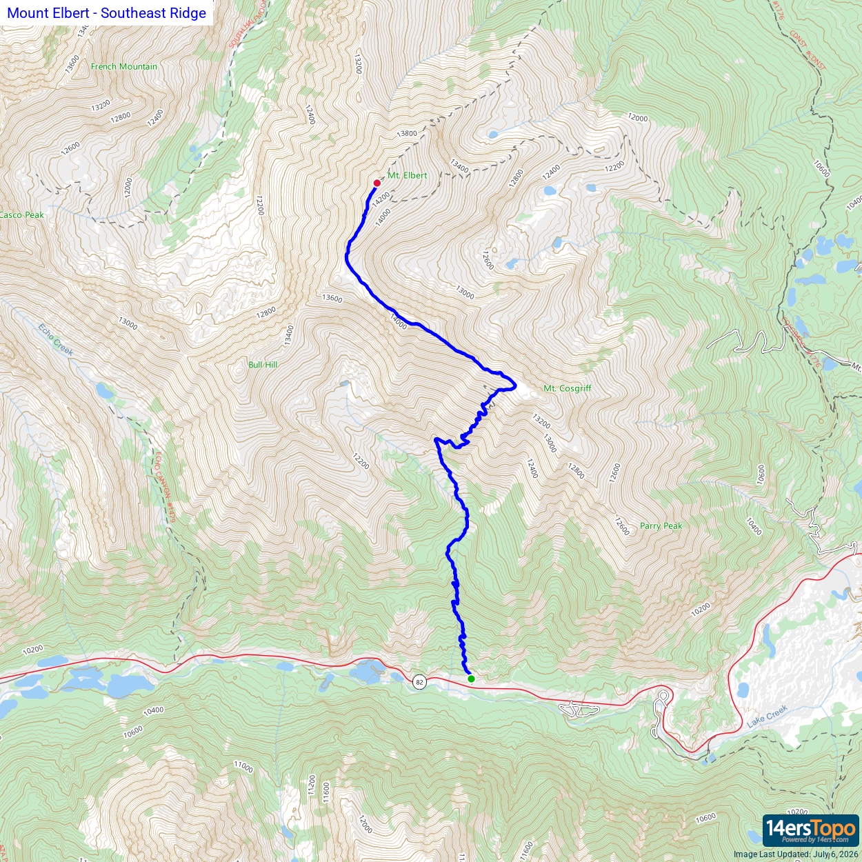


