The Cottonwood Creek trail begins at the signed trailhead parking area at 8,450 feet. Follow the well-defined path eastward through pinyon and juniper trees
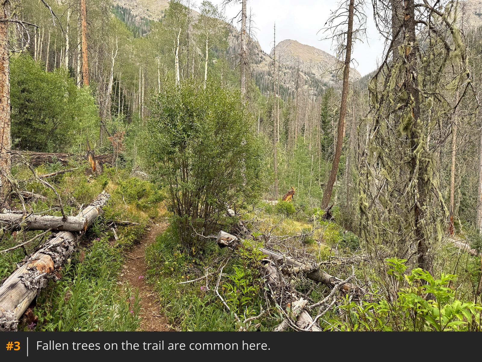
1 2. The first three miles are mostly clear, with occasional downed trees
3 and rocky sections
4. Just past the three-mile mark, you will enter the unsigned Sangre de Cristo Wilderness. The trail soon leads to the edge of Cottonwood Creek, where a short detour to the right reveals a hidden set of waterfalls
5.
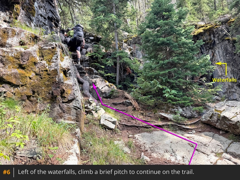
A few steps back on the trail, you will immediately encounter the first scrambling pitch on this approach
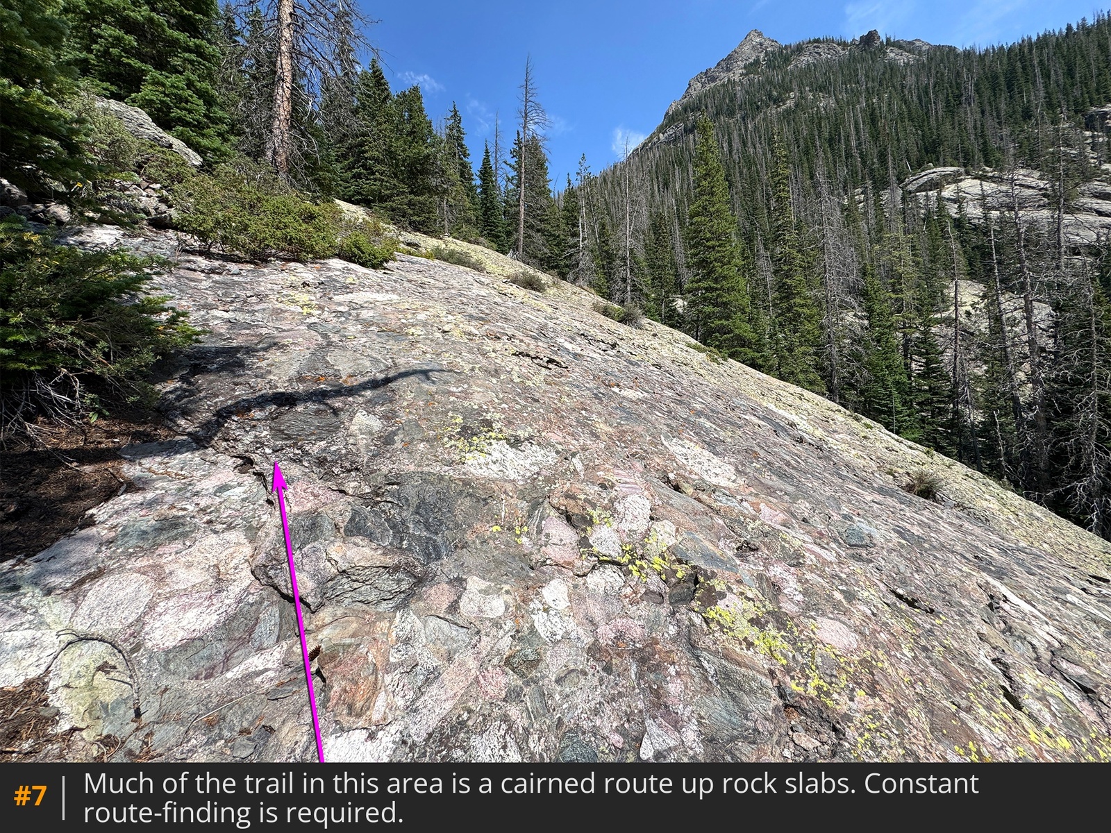
6. Climb it and continue upward. The next two miles require careful route-finding through connecting trail sections marked only by cairns on rock slabs. Using the GPX track included in this route is highly recommended, as your pace will likely slow above 10,400 feet while navigating the confusing terrain
7 8. Keep the creek close on your right. Near 11,200 feet, the route curves north to a campsite at 11,250 feet
9. If you've carried your camp gear, consider camping here; hauling a heavy pack through the upcoming terrain to the Cottonwood Lake area is not ideal.
Beyond this campsite, ascend a steep, heavily-treed pitch where the trail turns west, following the stream from Cottonwood Lake, before veering north to a massive boulder and a larger campsite at 11,370 feet
10. Pass the boulder on the right and climb the steep headwall along the right edge of a boulder field
11. After 200+ feet of climbing, weave through the trees to reach boulder fields left of the creek, where you can see the upper terrain of Crestone Needle
12. Follow cairns through the boulders to a flat resting spot overlooking an upcoming waterfall
13. This is a scenic spot. Staying in the willows on the left side of the creek, advance to the base of a rock wall. Here, just left of the water, lies the Class 3 crux of the approach
14. Scramble up this angled pitch
15, continue higher to a second pitch just left of the falls
16, and turn right near the top
17.
Above the waterfall, cross the meadow ahead
18, weave through the willows, and ascend the rock slabs of another headwall on a rightward angle
19 20. Reaching the top of this headwall near 12,000 feet reveals a confusing view of the remaining route
21. It is not easy to determine the location of the trail beyond a short distance. Carefully follow the trail segments and cairns north across the basin
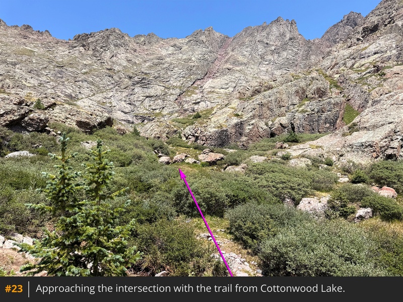
22 23. You will finally intersect the standard Crestone Peak trail coming from the South Colony Lakes side
24. Cottonwood Lake sits to your right (east), while the route up Crestone Peak turns to your left (west).











 GPX
GPX KML
KML