From the corner of the road, walk west into the unmarked trailhead and locate a trail beyond the final parking spots -
1. Hike southwest on the sometimes-faint trail as it parallels Nutras Creek -
2,
3 and
4. If you lose the trail, simply walk along the creek until you pick it up again. Just over 2 miles up, the trail is even more difficult to follow and you'll reach a small creek which comes down from the northwest. Swing right about 50 yards, turn left, cross the small creek (
5) and walk west a short distance to get back to Nutras Creek. Continue along Nutras a bit further to reach a boulder field and follow the faint trail through the bottom of the rocks to reach the other side of the boulder field -
6 and
7. Parallel Nutras for another 1/4 mile to reach 11,800, near some Bristlecone Pines.
Your next goal is to reach Stewart's east ridge. From 11,800 near the creek, turn right and hike northwest up through the trees -
8 and
9. Continue northwest up through the trees to reach the final Bristlecones, near 12,300' -
10. Once on the ridge, continue northwest/west -
11 and
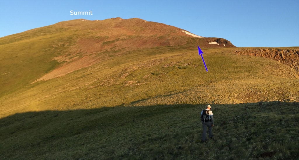
12. Now with the summit in view, the remaining route is fairly obvious. Bypass a rugged point and regain the ridge at 13,100' -
13 and
14. Now staying on the ridge crest, hike up through some rocky sections (
15) and then easier terrain to reach the summit -
16,
17 and
18.
19 looks back on the ridge and
20 looks south to 13er Baldy Alto and 14er San Luis Peak.
