If you parked near North Rock Creek (
1 and
2), turn east and walk 0.7 mile on FS 982 and cross South Rock Creek (
3) to reach the trailhead, at 9,650' -
4. Pass the wooden gate (
5 and
6) and start up an old road and into the Ox Cart burn area -
7. Walk approx. 1.4 miles up the road and make a sharp left, near 10,800' -
8. Still on the road, continue a few hundred yards north (
9) to reach a corner, just below 10,900' -
10.
As the corner, turn right (
11), leave the road and hike east up a ridge on the west side of Hunts -
12 and
13. The entire ridge has been burned, so take your time and look for the most stable terrain. Near 11,800', the trees thin out and you'll reach the boundary of the burn area -
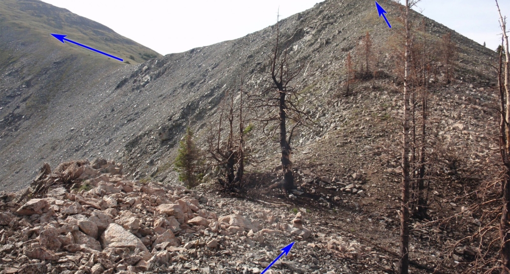
14. Continue southeast along the ridge (
15) and ascend a point (
16) to reach 12,100'.
From the top of the point, you'll have a great view of Hunt's west slopes and the remaining route to the summit -
17. Descend slightly and continue east toward the final pitch. As you ascend, the view back over the burn area and to the west is beautiful -
18. Continue up the easy slope (
19) to reach the seldom-visited summit -
20,
21 and
22.
