Log In 
Photo

Mount Audubon

North slope
Difficulty Class 2 
Risk FactorsExposure:
Rockfall Potential: Moderate  
Route-Finding:   
Commitment:   
 
Start10,500 feet
Summit13,217 feet
Total Gain2,850 feet
RT Length8 miles
Authorkrishcane
Last UpdatedJan 2014
DownloadsgpxGPX File
Show More
Photo

Trailhead

From Highway 72, just a mile or so north of the town of Ward, turn west onto America St./Brainard Lake road. Drive over 2 miles to reach the entrance to the Brainard Lake Recreation Area, pay the fee and continue 2 more miles to reach Brainard Lake. Pass the lake and continue 1 mile to the Mitchell Lakes trailhead. It has a large, paved parking area and restrooms. The Mitchell Lakes and Audubon Peak trails start on the north (upper) end of the parking lot.

Route

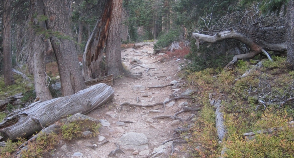
The route to Mt. Audubon begins at 10,500 feet with a mild path through the forest ( 1). At around three-quarters of a mile and 10,900 feet it opens out of the forest ( 2) and begins a series of switchbacks ( 3).

Treeline breaks at around 1.5 miles and 11,300 feet ( 4) and the trail splits at 1.7 miles at 11,400 where the Mt. Audubon trails goes left from the Beaver Creek Trail ( 5). Go left. Mt. Audubon's summit comes into view shortly ( 6).

Proceed through cairned open tundra ( 7,  8) until you approach the saddle north of the summit. You are looking for a cairn on the saddle that indicates you should turn left and enter the talus to begin the summit push ( 9). There is a faint trail at this point turning left but it's easy to miss and walk right over the saddle because the trail you've been on continues that way to great views of Upper Coney Lake. The saddle sits at 12,700.

The summit is a moderately steep pile of rocks ( 10). There are some cairns and trails leading up it ( 11), but there seem to be several routes developing. Just keep heading up ( 12). At 13,000 feet it gets a bit less steep ( 13)

The pitch levels off at 3.9 miles and 13,200 feet ( 14). Walk several hundred feet across the summit and around the many wind shelters to reach the technical summit at 4.0 miles and 13,223 feet.
Notes

None
#1 #2 #3 #4 #5 #6 #7 #8 #9 #10 #11 #12 #13 #14

This page is only available to registered 14ers.com users. If you don't have an account, you can register in the forum.

Log In_

Caution: The information contained in this route may not be accurate and should not be the only resource used in preparation for your climb. Failure to have the necessary experience, physical conditioning, supplies or equipment can result in injury or death. 14ers.com and the author(s) of this route provide no warranties, either express or implied, that the information provided is accurate or reliable. By using the information provided, you agree to indemnify and hold harmless 14ers.com and the route author(s) with respect to any claims and demands against them, including any attorney fees and expenses. Please read the 14ers.com Safety and Disclaimer pages for more information.

Please respect private property: 14ers.com supports the rights of private landowners to determine how and by whom their land will be used. In Colorado, it is your responsibility to determine if land is private and to obtain the appropriate permission before entering the property.
Heading to a 14er soon? Don't forget the 14ers.com mobile app.
Google Play     Apple App Store