From the Homestake Road, start up the trail -
1 and
2. Continue on the excellent trail (
3 and
4) for approx. 2.75 miles to reach Whitney Lake at 10,960' -
5. Your next goal is to reach the crest of the southeast ridge, without a trail. From the lake, walk back on the trail a few yards, leave the trail and begin bushwacking south/southeast up through the thick forest. After approx. 0.1 mile you'll reach easier terrain on the ridge. Turn right and continue west and then northwest up the ridge to reach tree line, near 11,800' -
6. It's important to note that the hike between the lake and tree line is heavily-forested and requires some route-finding.
With the trees behind you, you're now faced with the talus-covered, upper east ridge -
7. Climb directly up the steep talus or swing slightly left (west) before climbing north to the top -
8. Expect some Difficult Class 2 rock-hopping (
9) before reaching the top of the ridge, near 13,200' -
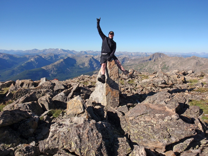
10. Continue higher to reach a large block on top of some other rocks -
11 and
12. Recent measurements identify this block as the true summit. Technically, climbing the summit block/boulder requires a couple of Class 5 moves (5.6) but this route description has not been assigned that rating because it's just this one block, not very high, and you can touch the top from the surrounding rocks. So, touch the top or climb up there!
13 looks north to 14er Mt. of the Holy Cross. Whitney's western summit, which is 0.25 west across the broad summit plateau, was once considered the highest point and is worth visiting -
14 and
15.


 GPX Track File


