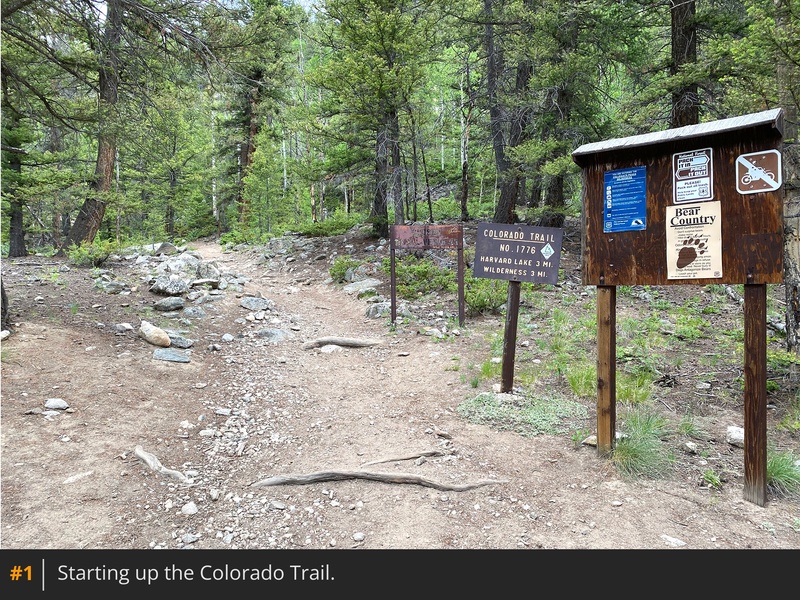
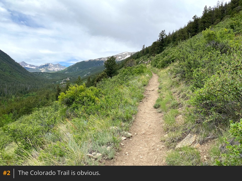
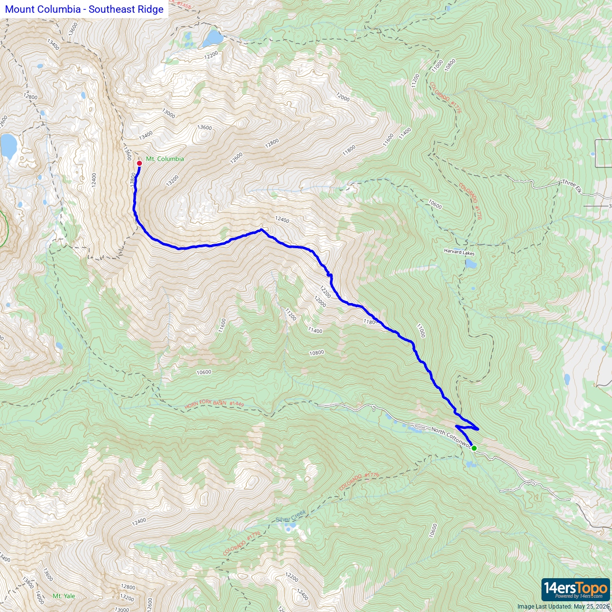
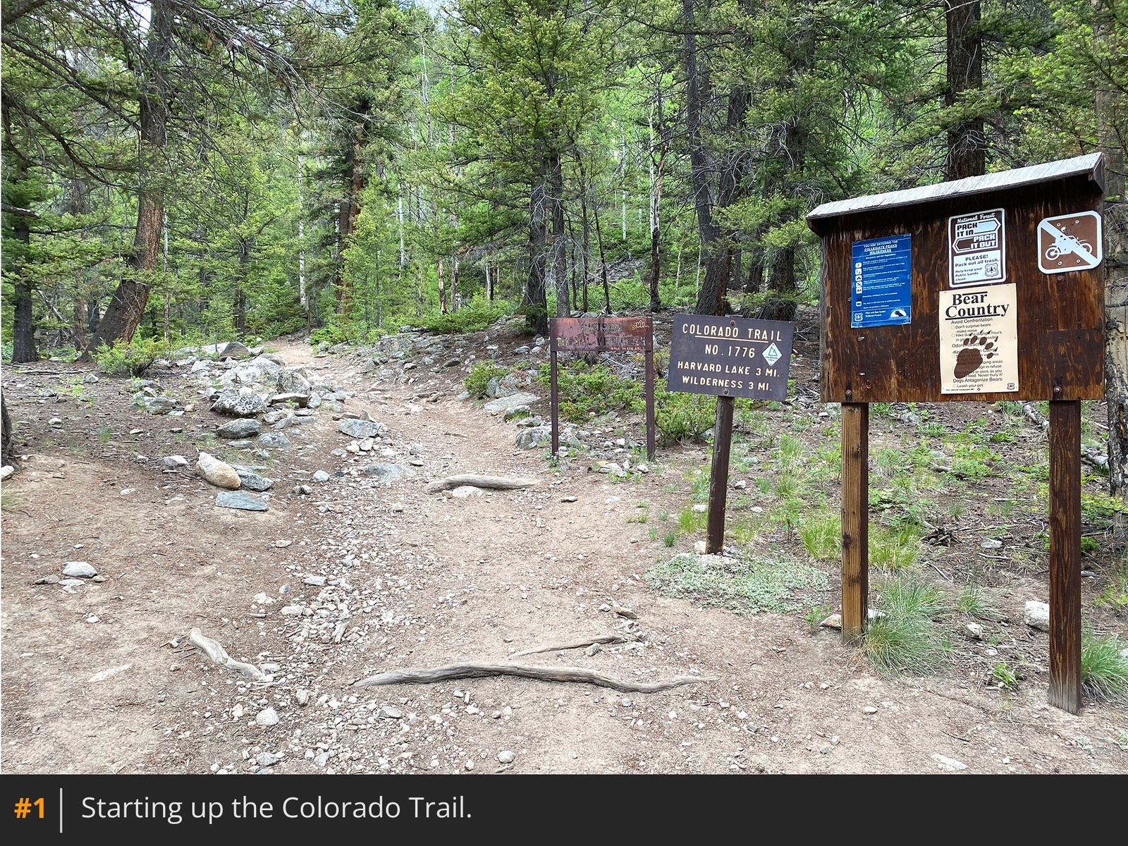
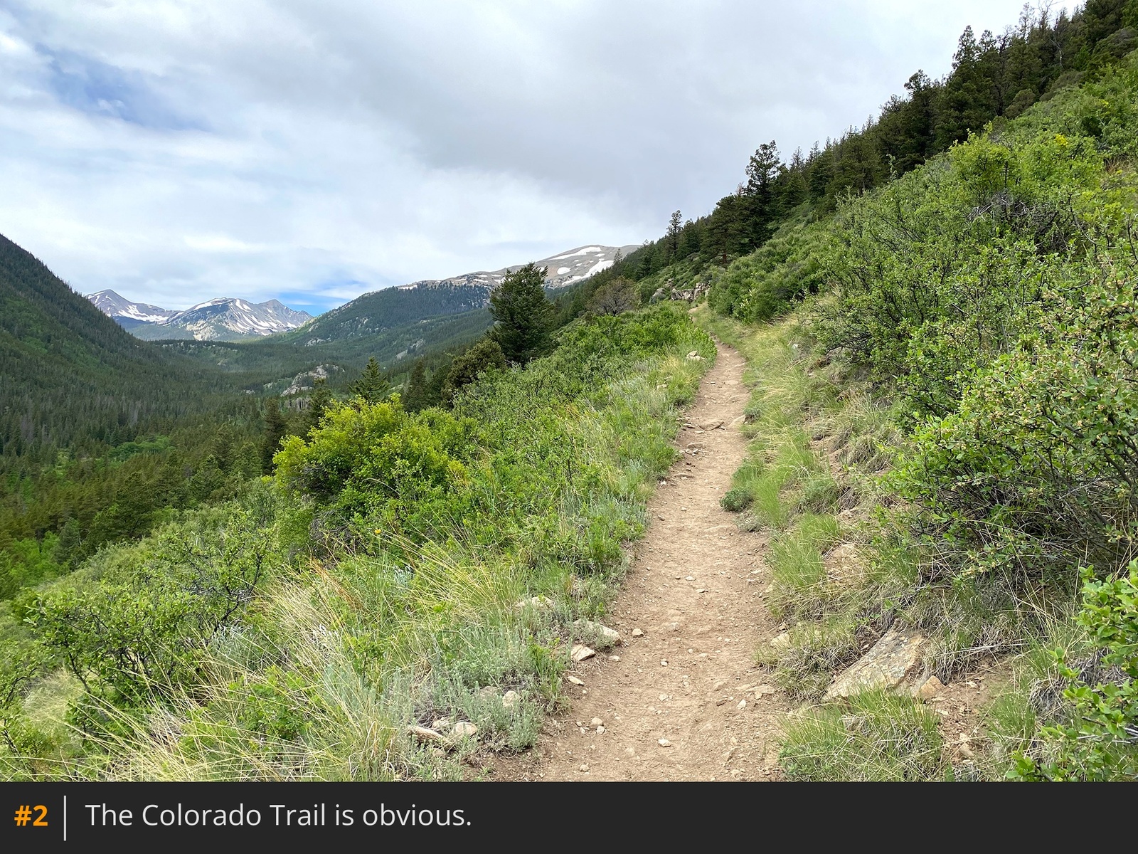
From the trailhead parking, walk up the road a short distance and turn right to begin hiking up the Colorado Trail
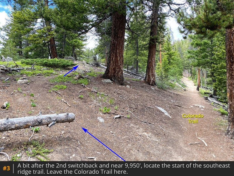
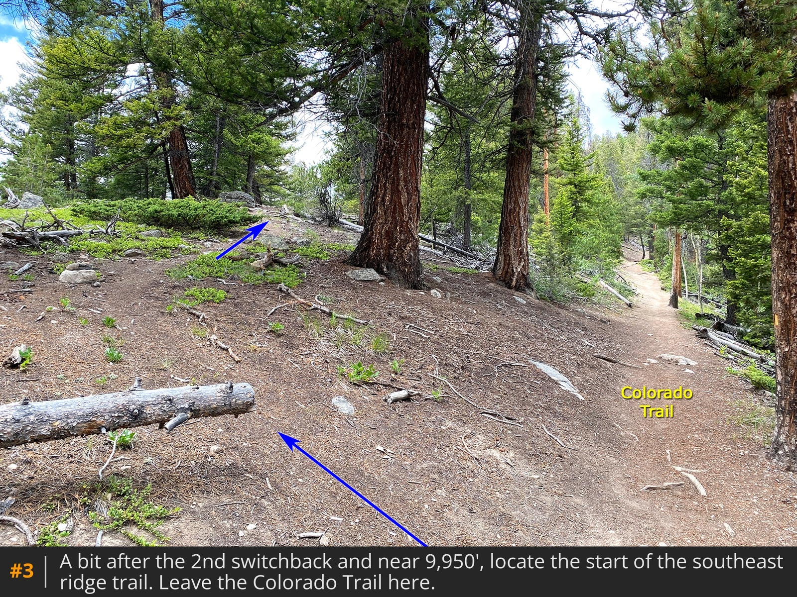
1 2. Shortly after the second switchback, locate the start of your southeast ridge trail, on the left
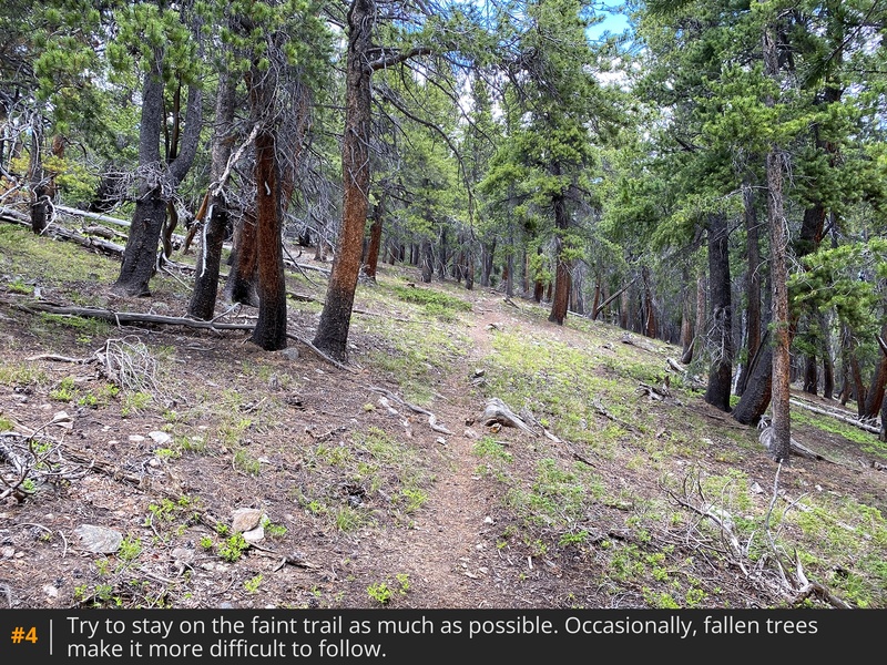
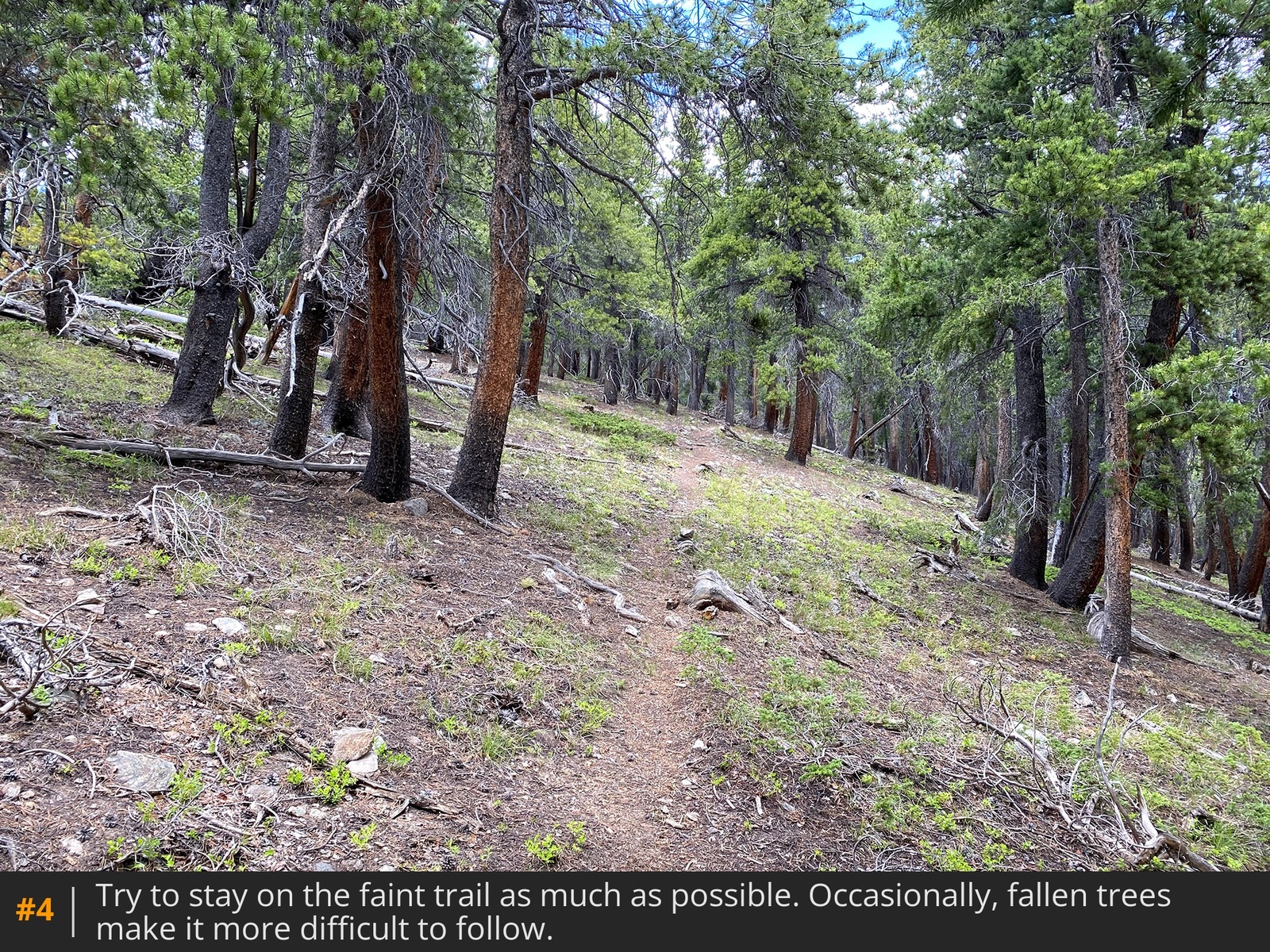
3. It's easy to miss and at 9,950', 50yds before the Colorado trail makes a turn to the right. Since this is not the standard route on Columbia, it doesn't see a lot of hikers so don't expect a well-beaten path. However, you'll likely find a lot of small cairns along the way. Grind up through the forest
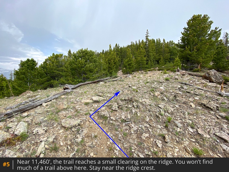
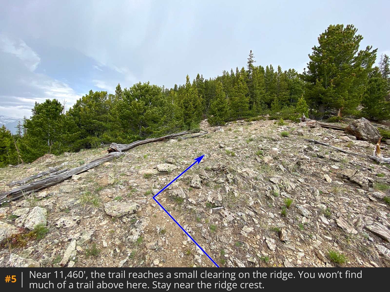
4 as you follow the lower portions of Columbia's southeast ridge. As you hike higher, the terrain gets rockier. Near 11,460', the faint trail will all but disappear at a small overlook on the ridge
5.
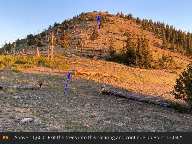
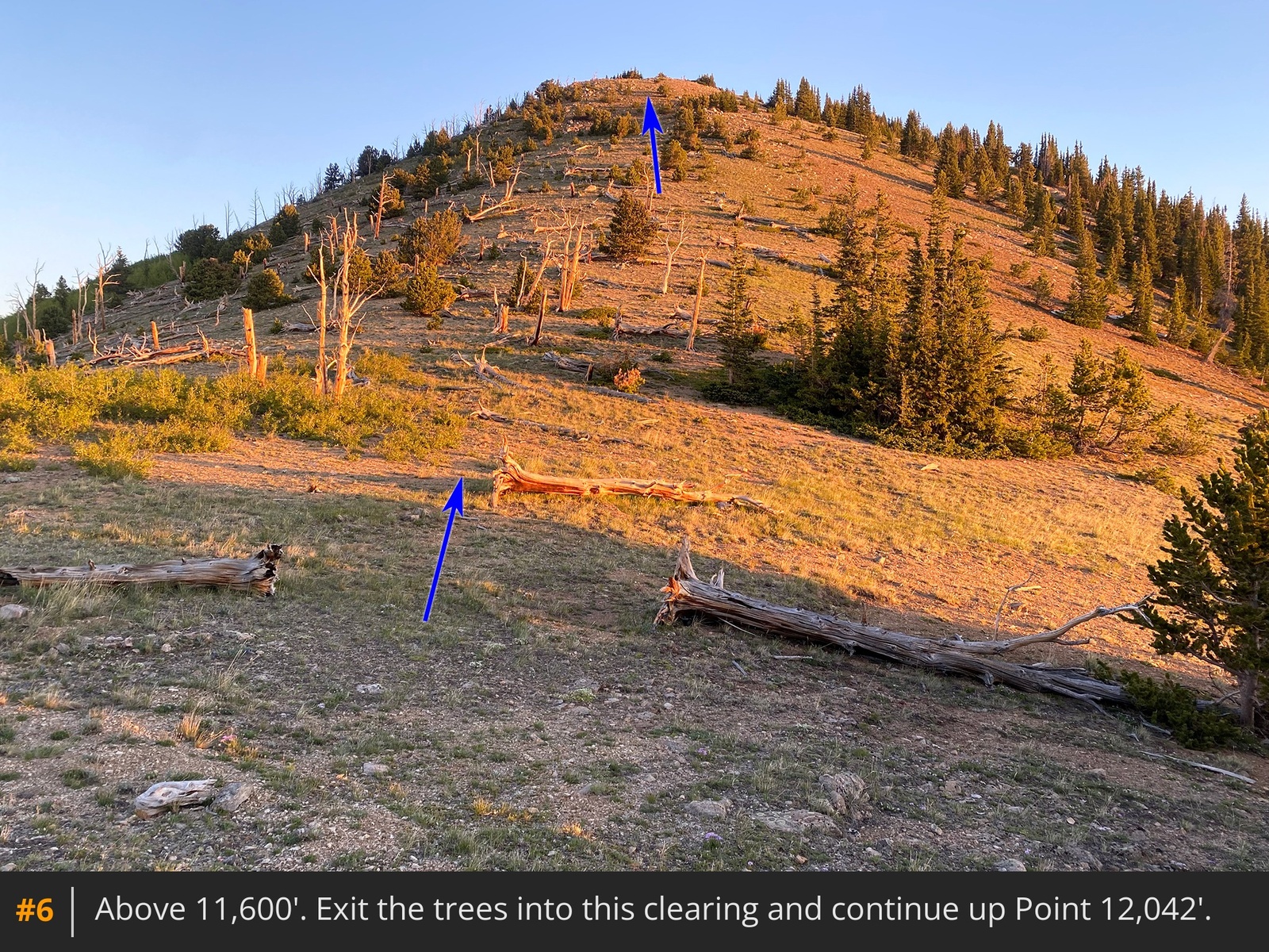
Turn right, bushwhack through some trees and pass a rock outcrop to reach a clearing, above 11,600'
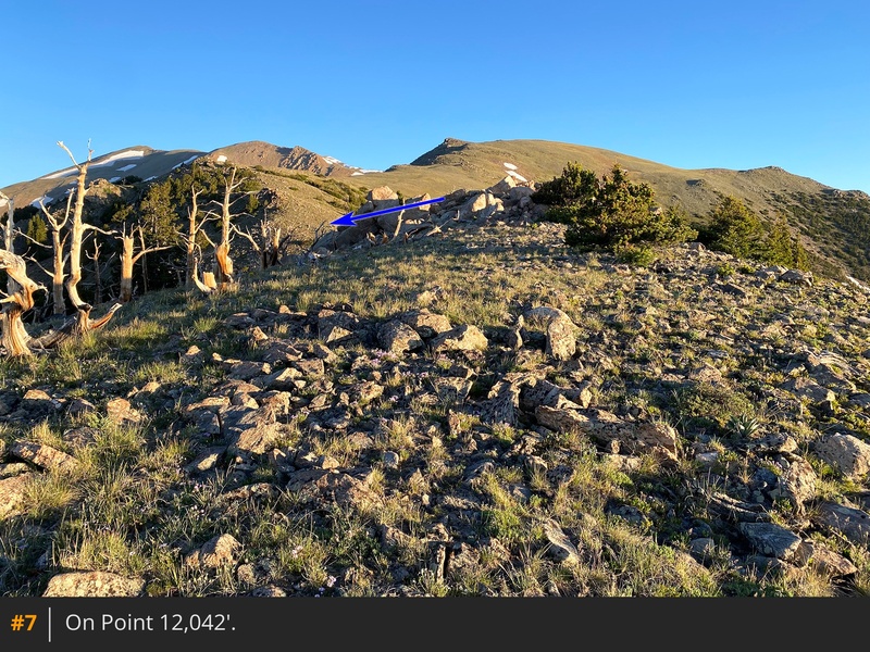
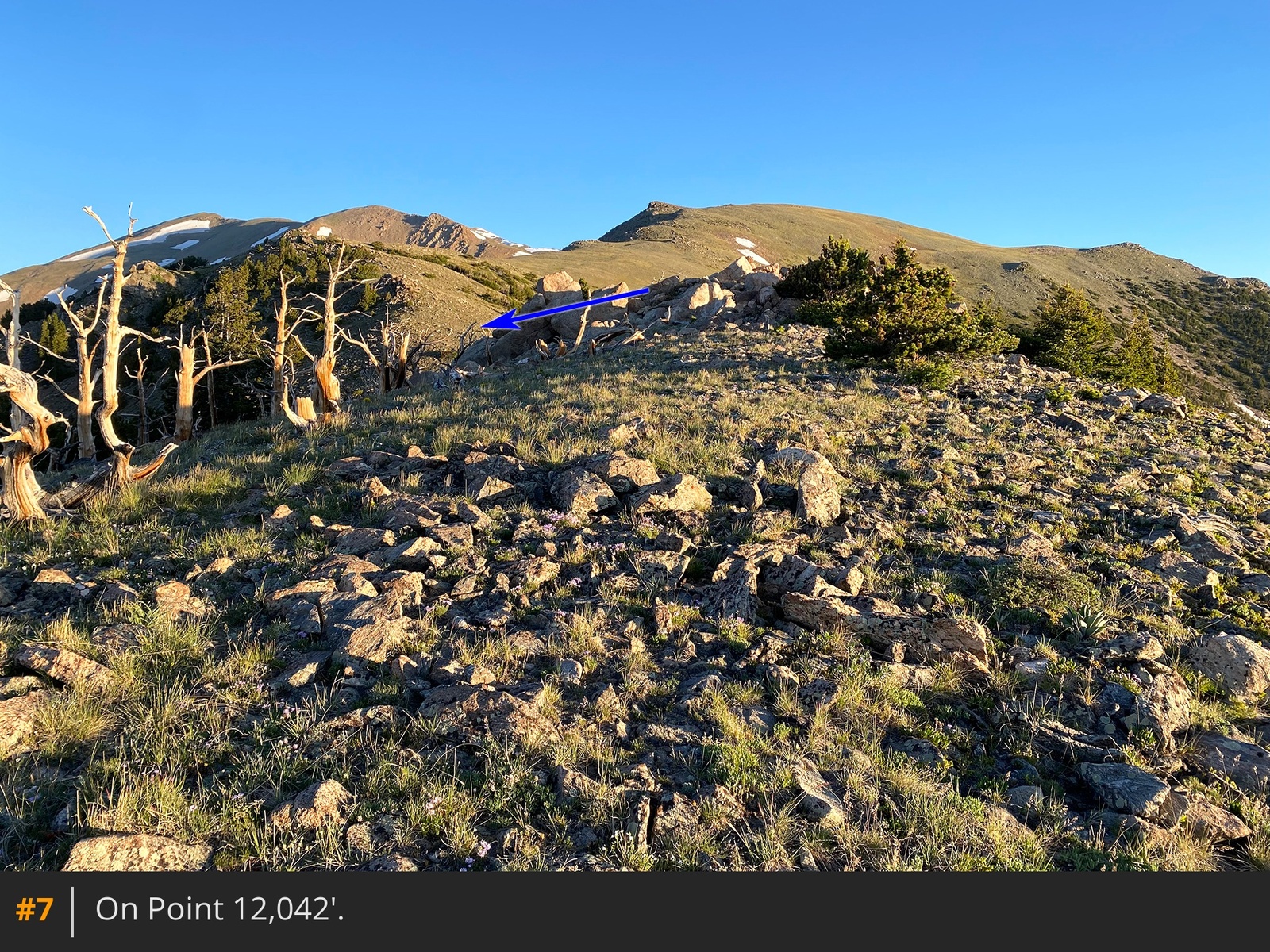
6. Cross the clearing and hike to the top of Point 12,042'. At the top, you'll notice a stand of dead trees to your left and a whole lot of southeast ridge ahead
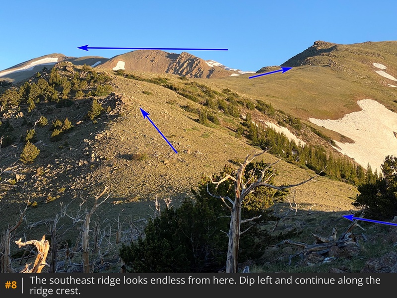
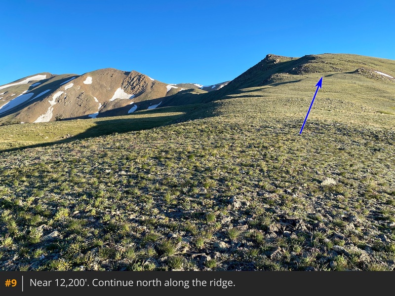
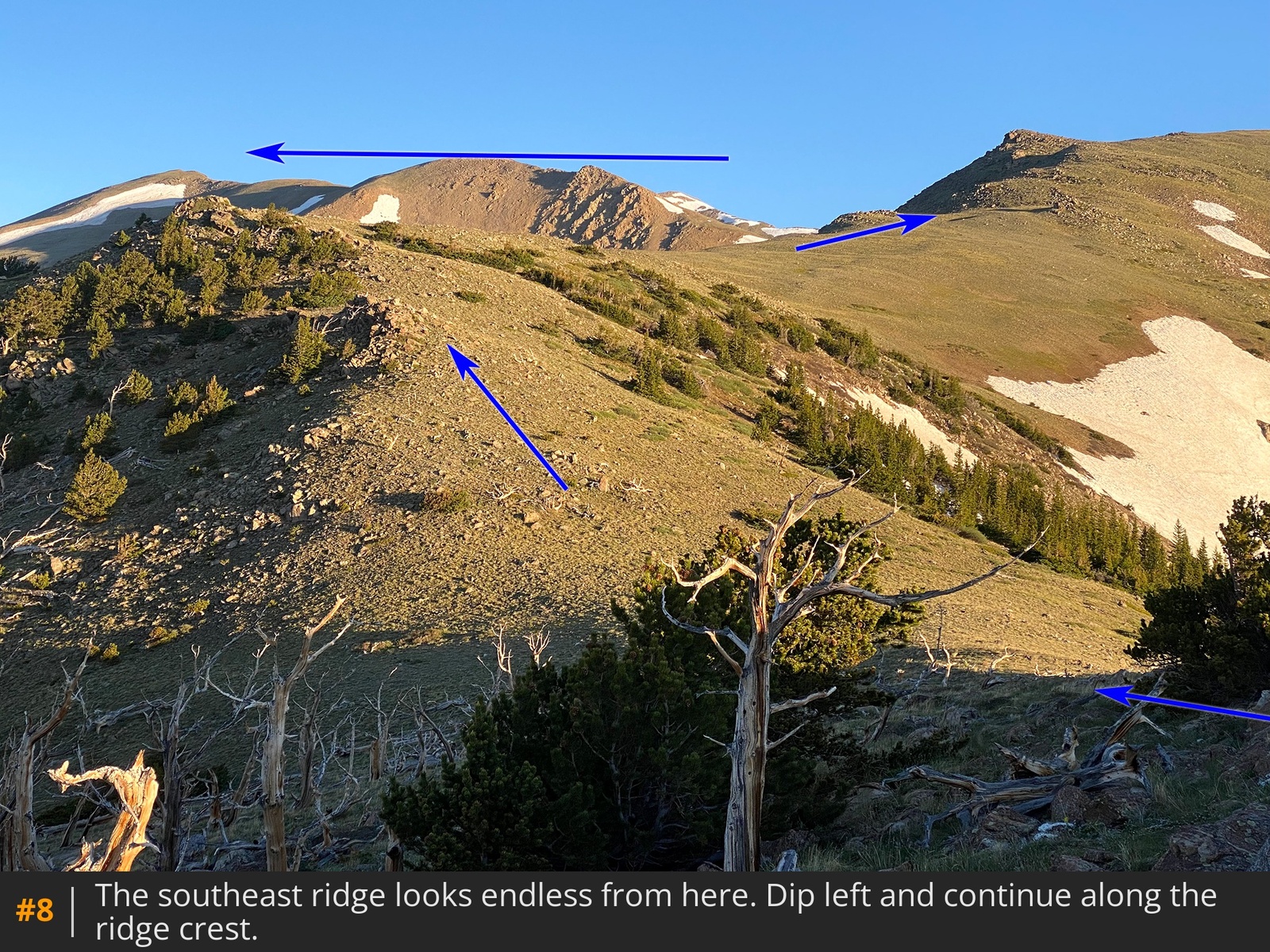
7 8. Drop left and continue along the ridge as it turns north/northwest
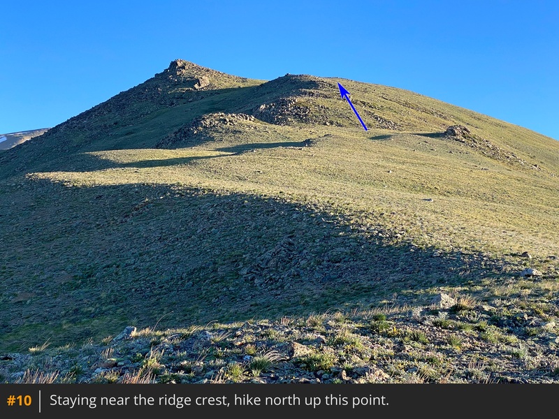
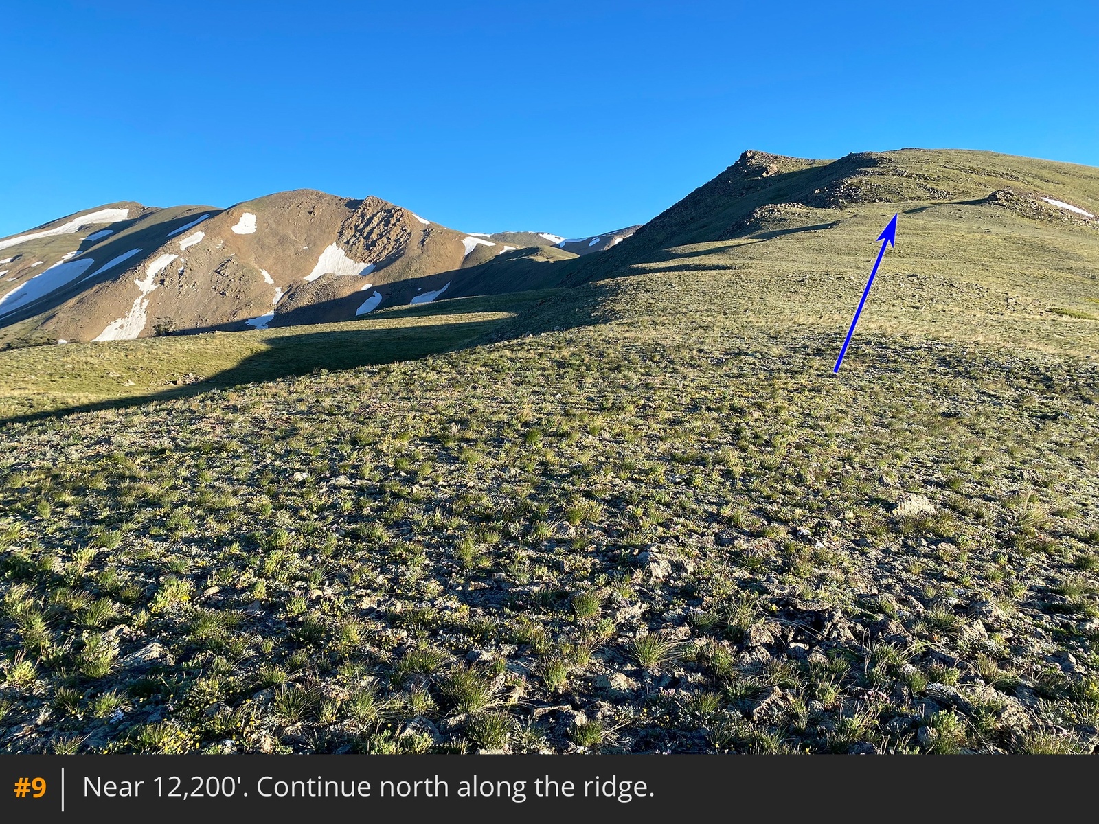
9. Continue toward the next point on the ridge and avoid any temptation to take a shortcut across the left side
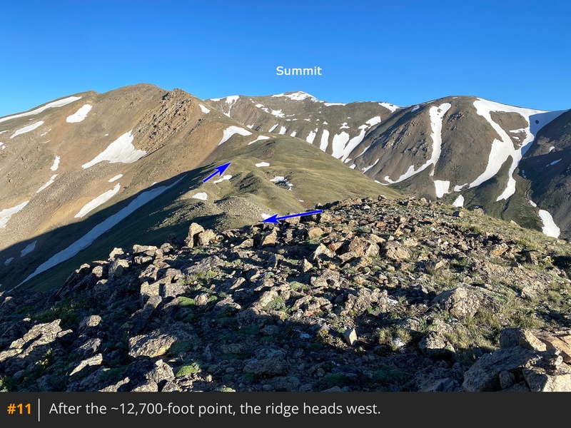
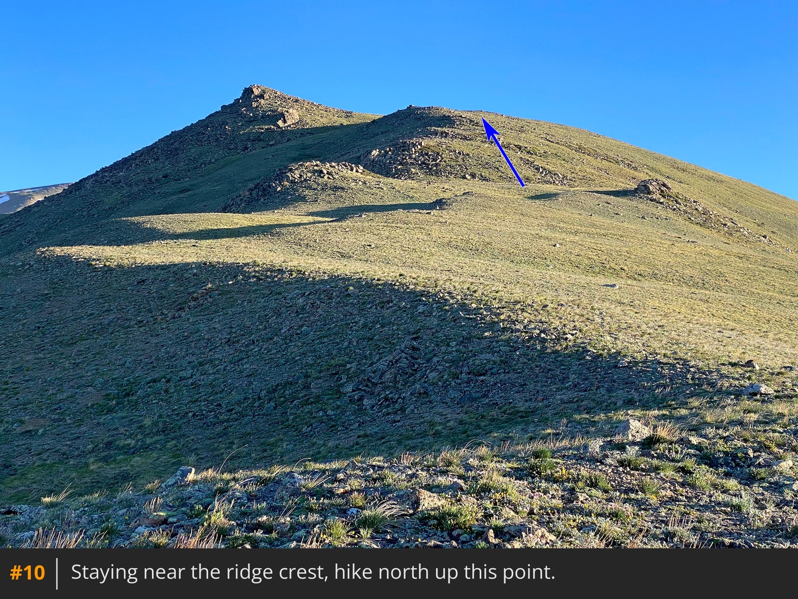
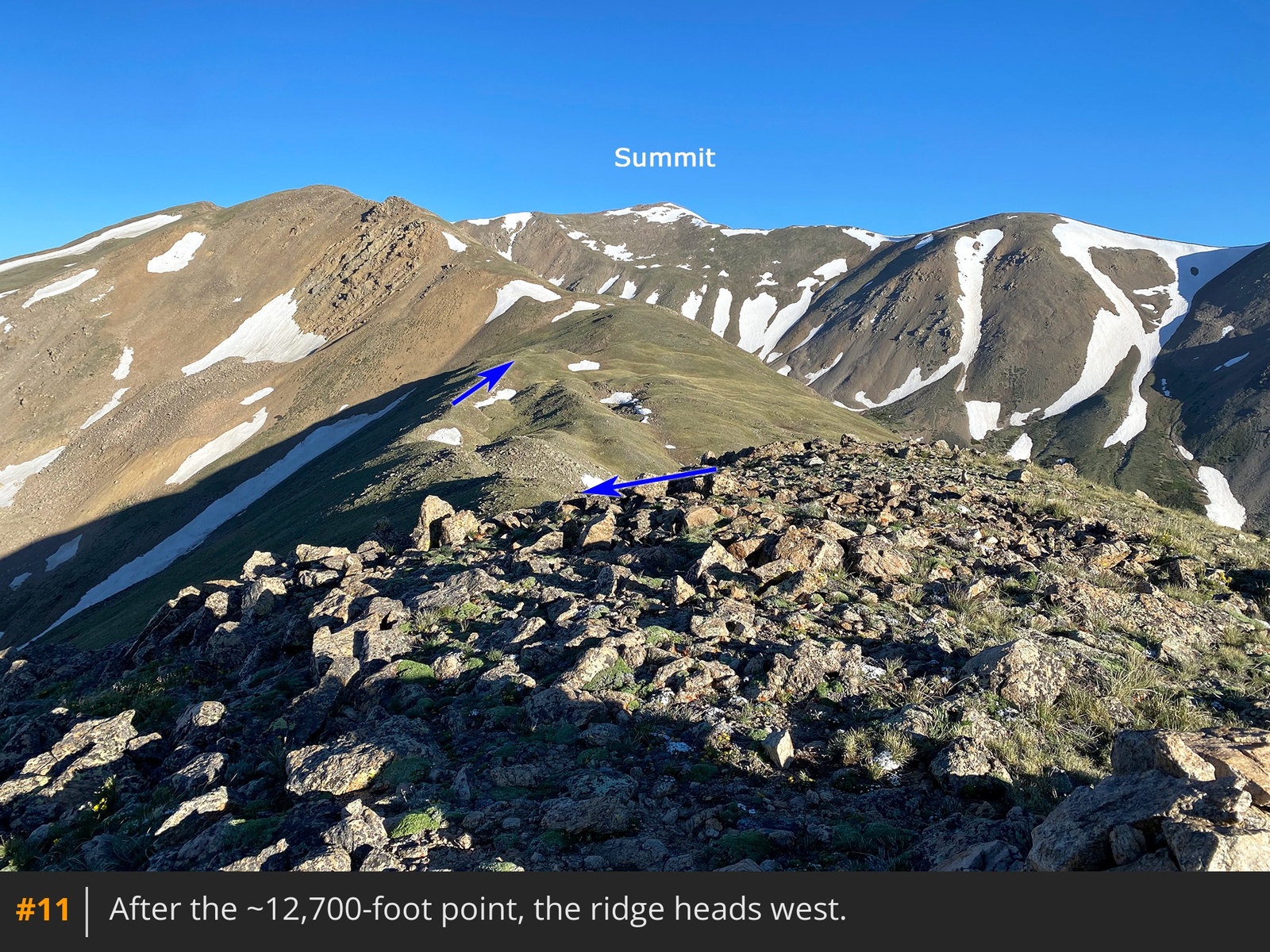
10. From the top of this ~12,700-foot point, the ridge swings left
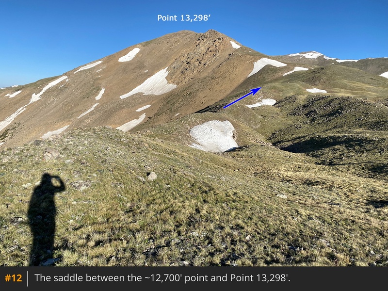
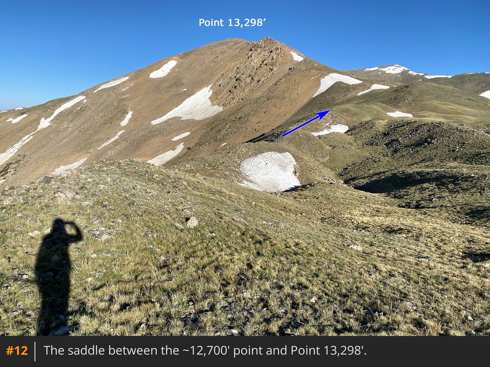
11. Drop 100 feet to reach a convoluted saddle
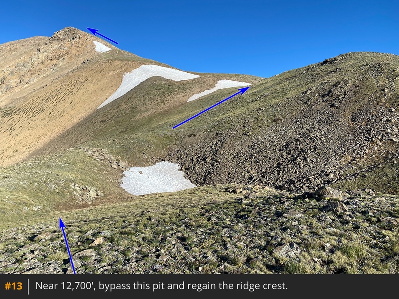
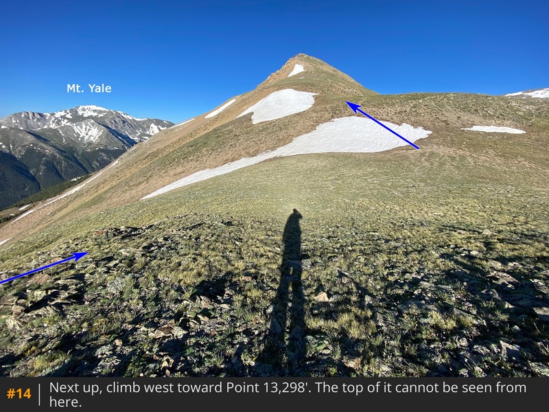
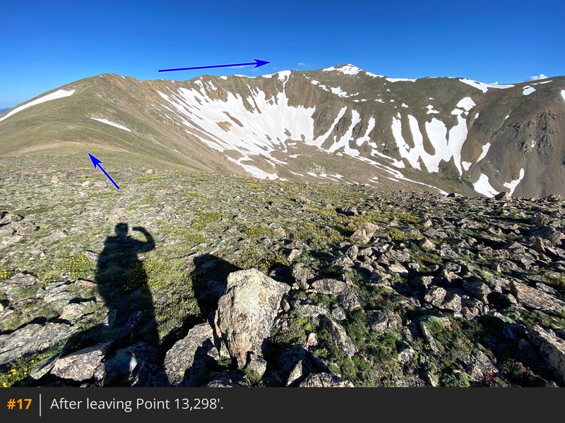
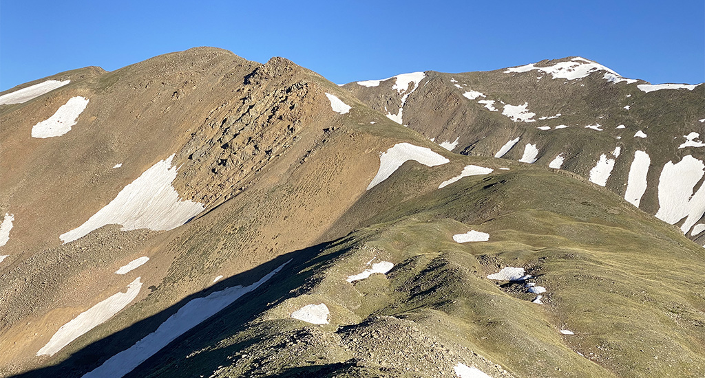
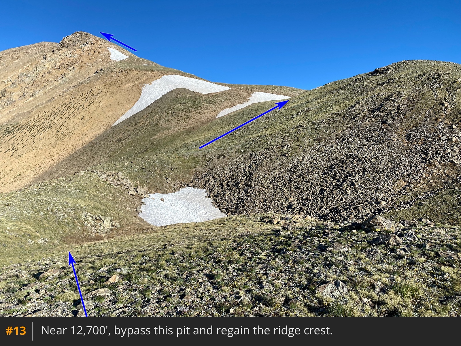
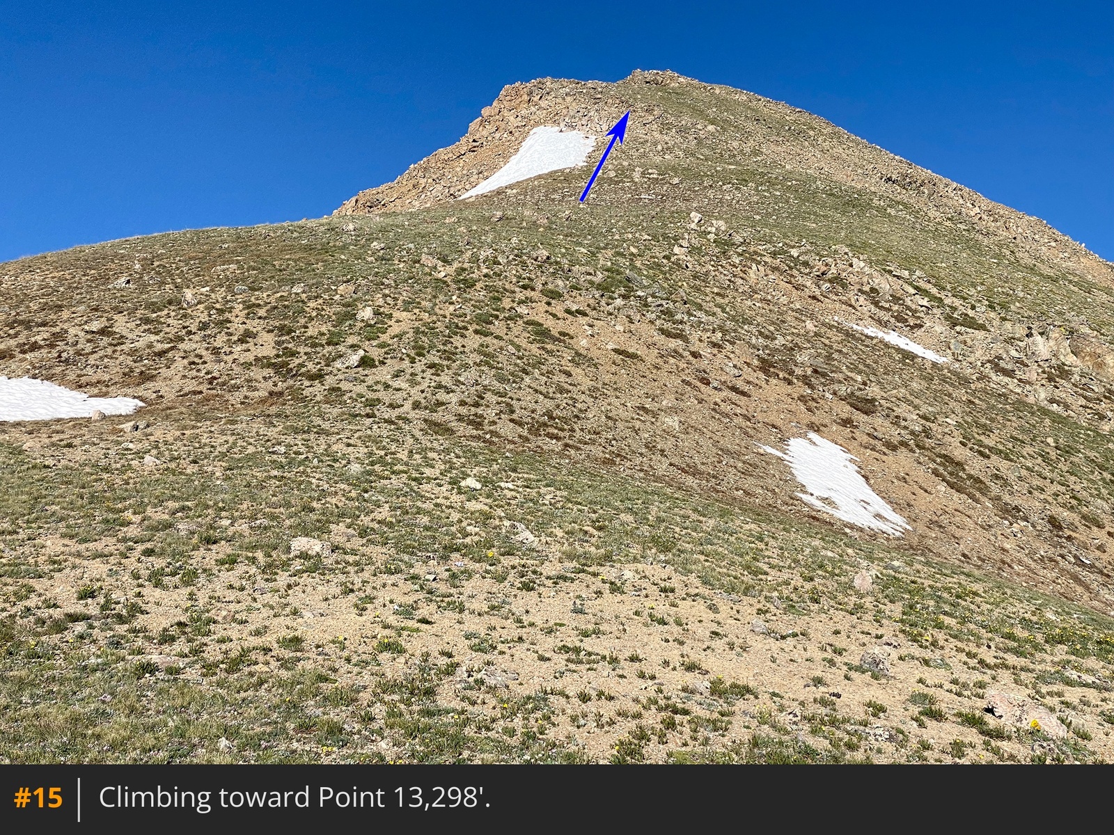
12. The next major point on the ridge is Point 13,298', which is off in the distance. Follow the left side of the ridge and ascend to 12,800'
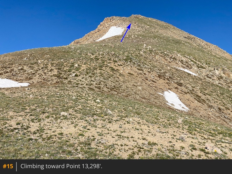
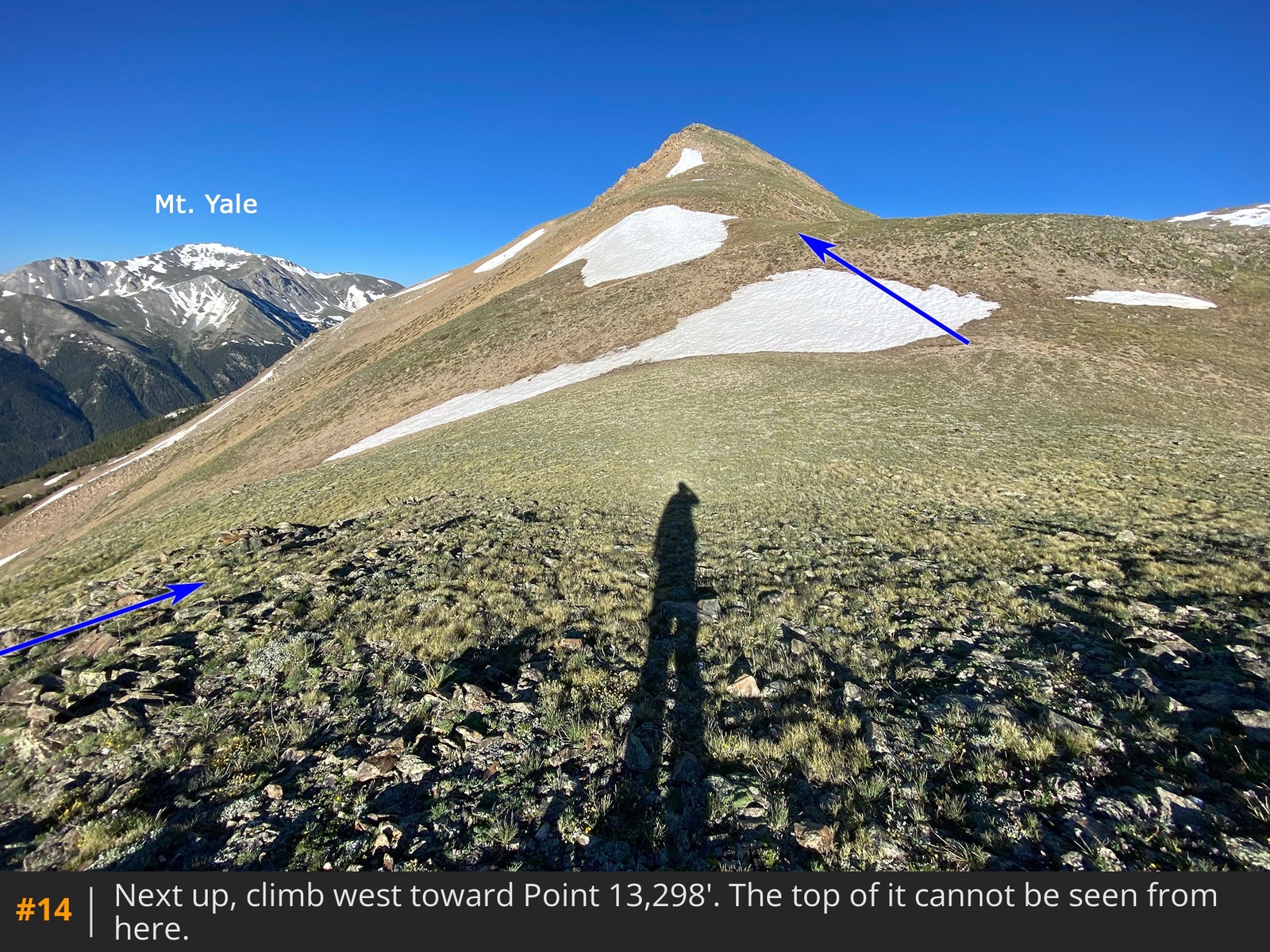
13 14. Next, begin climbing toward Point 13,298'
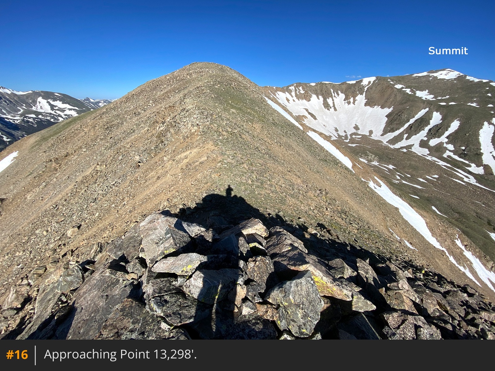
15. You can't see the top of it from here but it eventually comes into view once you gain some ground
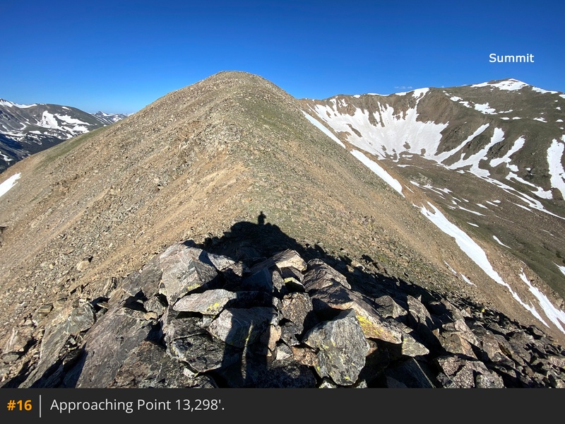
16.
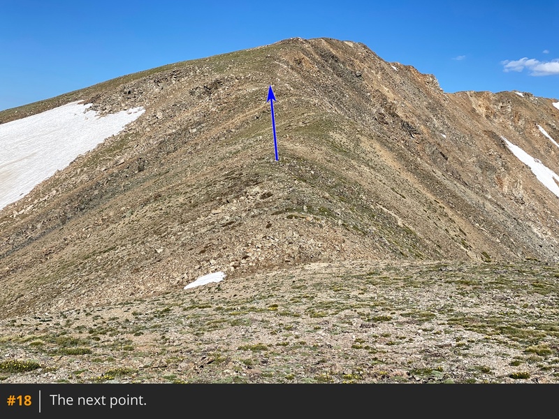
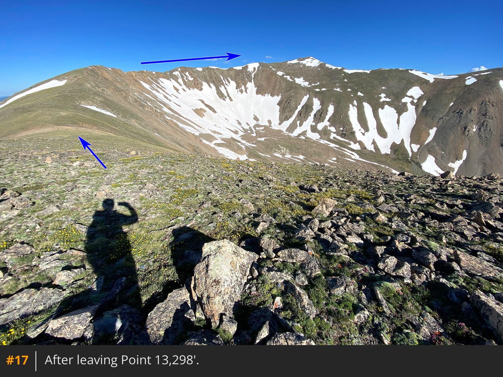
From Point 13,298', you have a great view of the remaining route and the upper end of Three Elk Basin
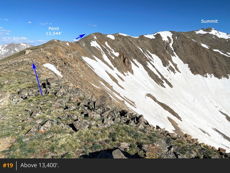
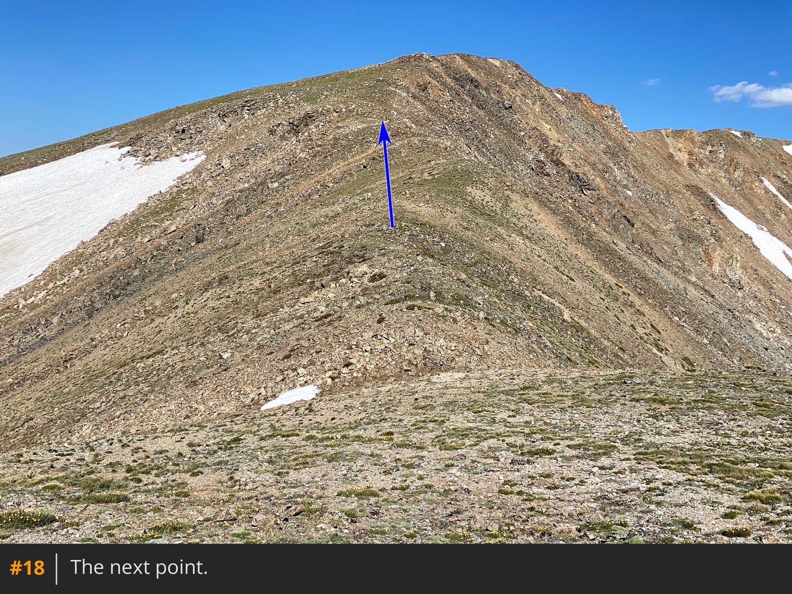
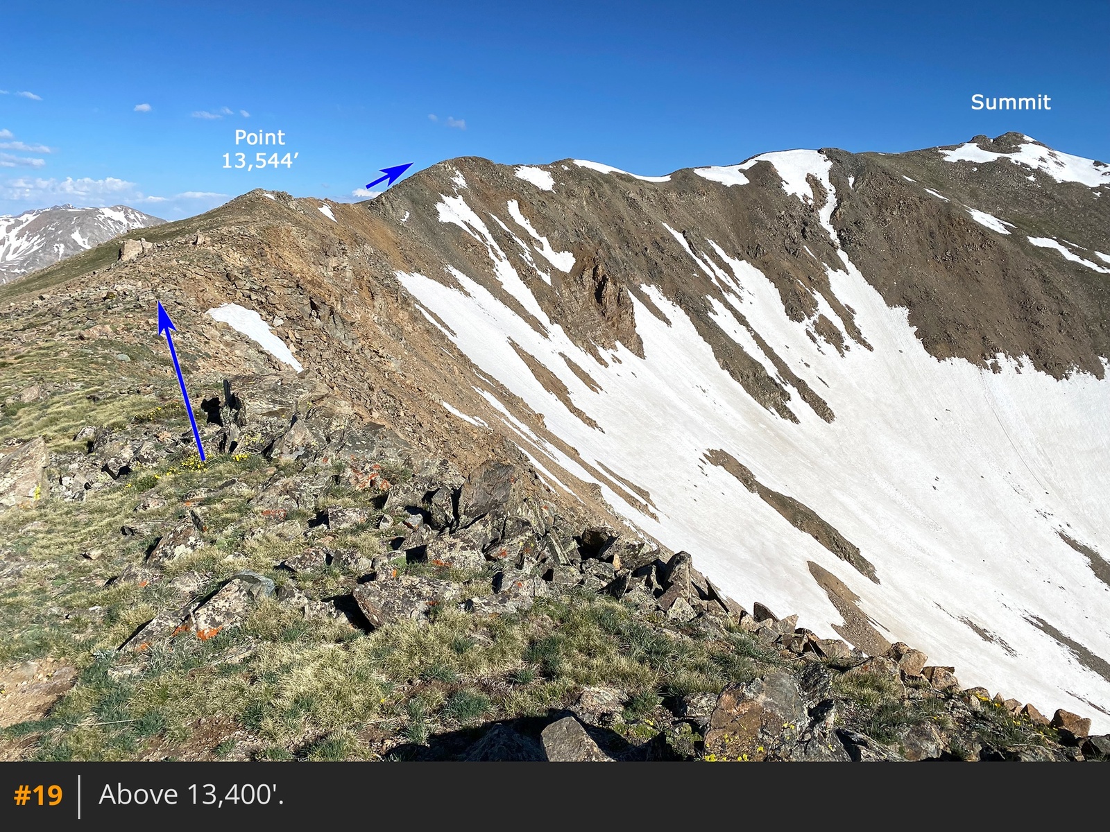
17. Gain the next point to reach easier terrain, above 13,400'
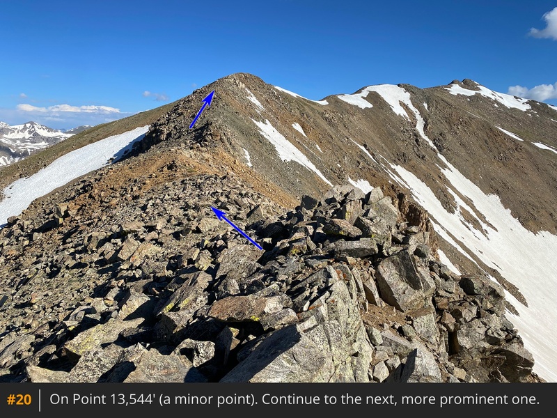
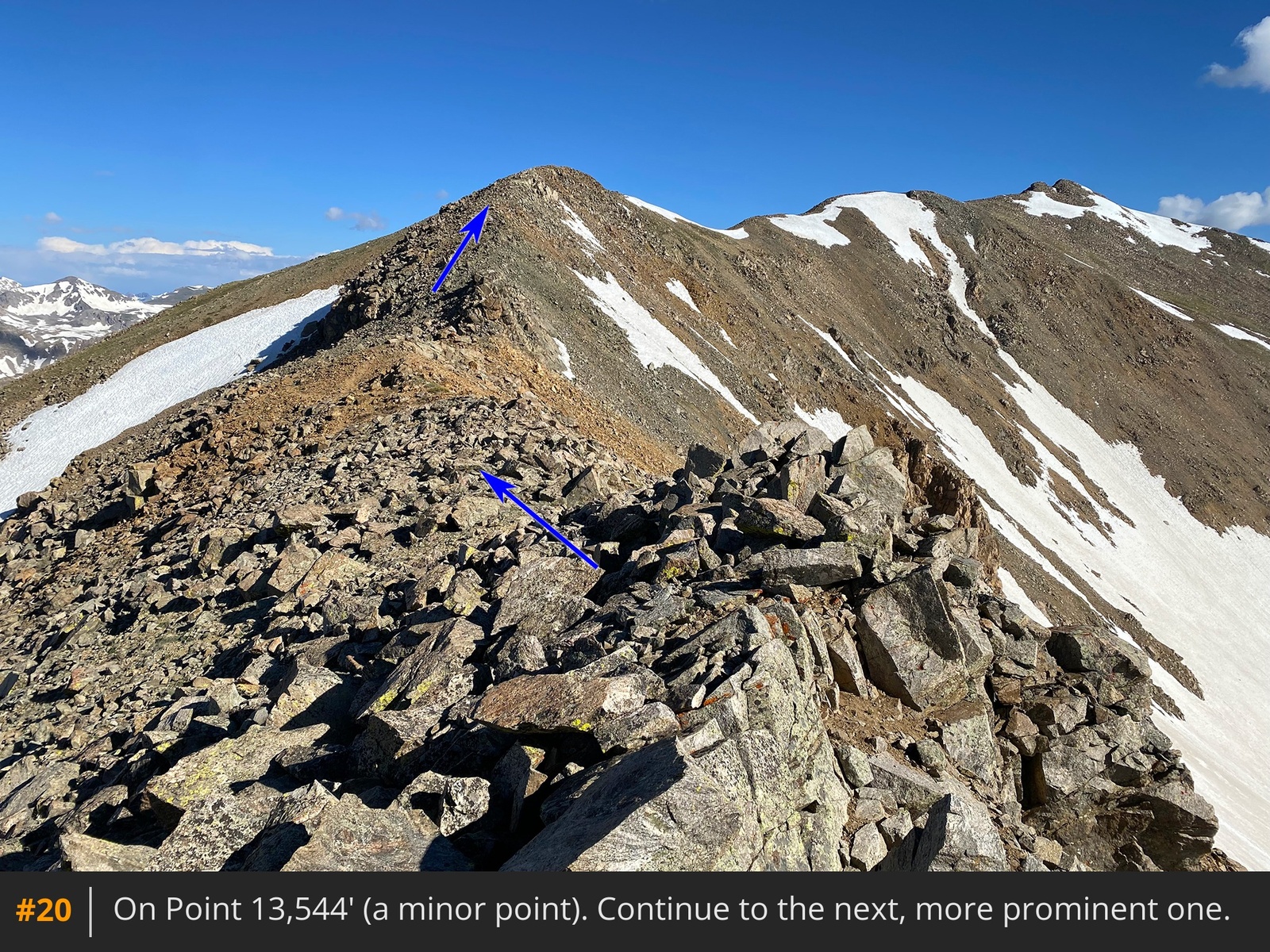
18 19. Walk to another, minor point which is shown on most topographical maps as Point 13,544'
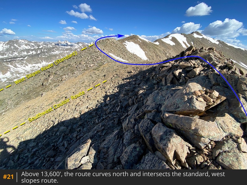
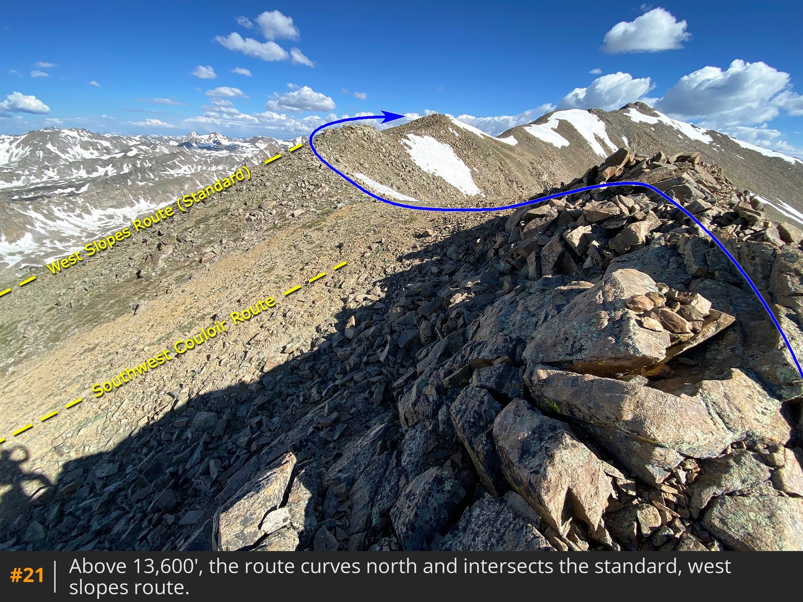
20. Continue to yet another point where the ridge begins to curve north toward the summit
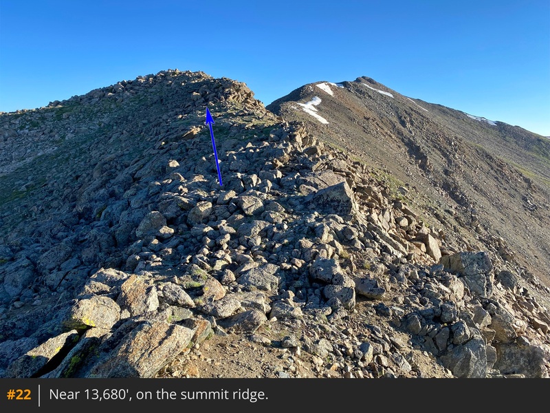
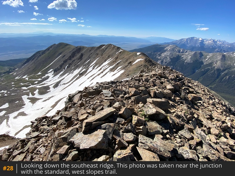
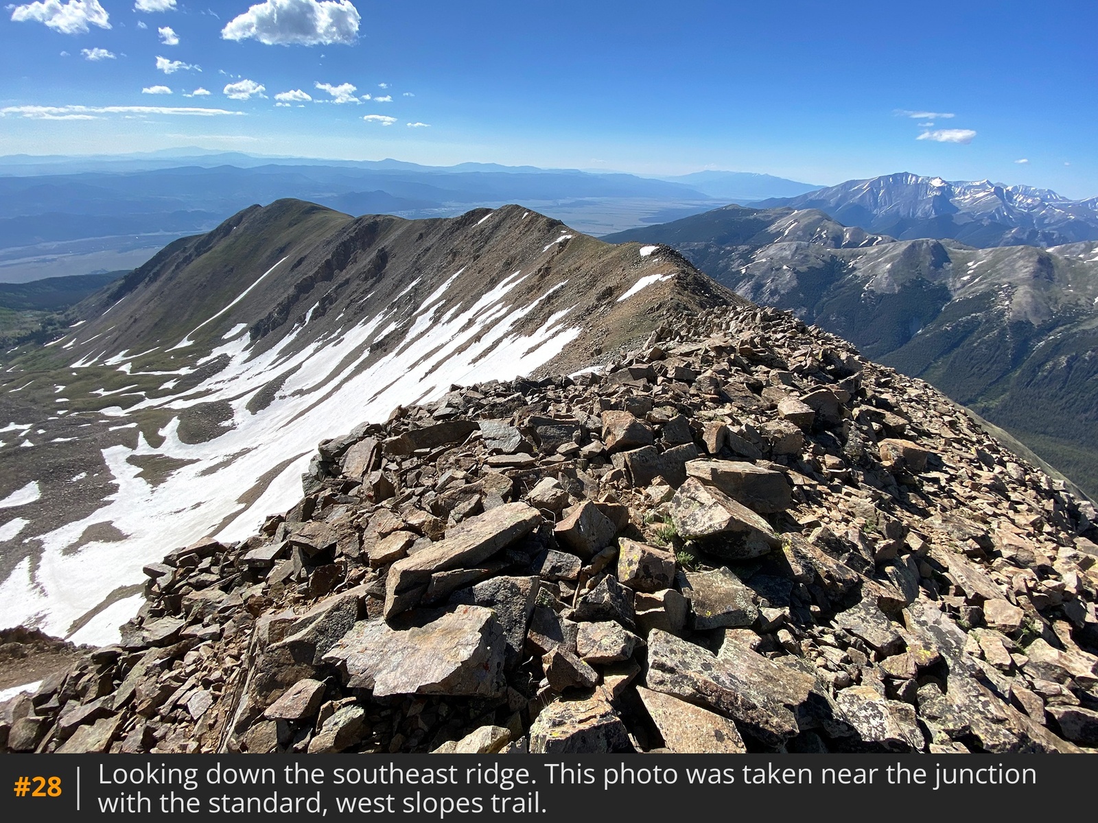
21. Shortly after this point, you'll intersect Columbia's standard, west slopes trail that comes up from the left. Stay near the ridge crest and continue toward the summit that's 1/2 mile away
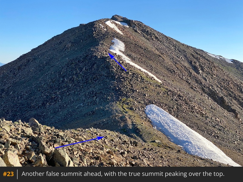
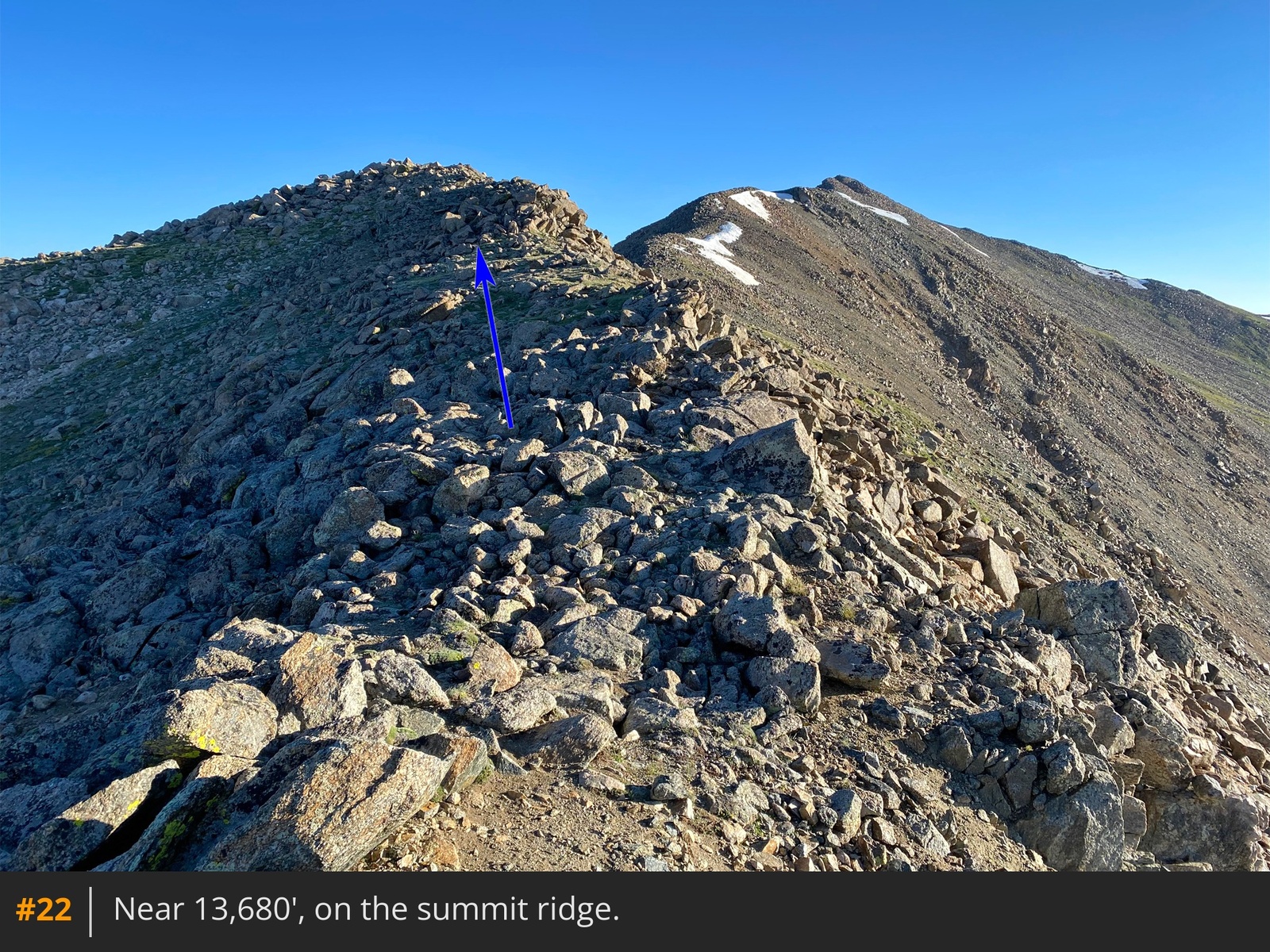
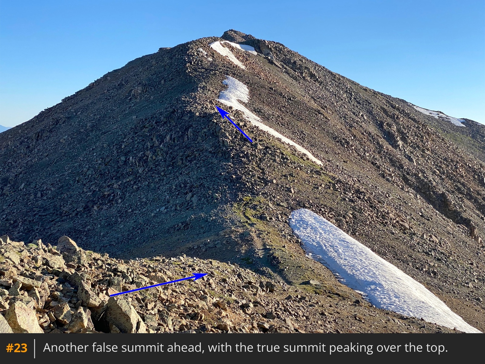
22. With the remaining route now in view, hike north along the ridge over more bumps
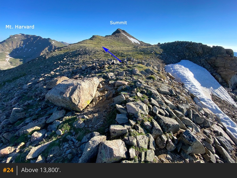
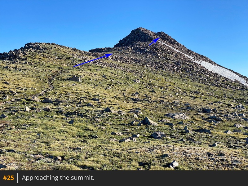
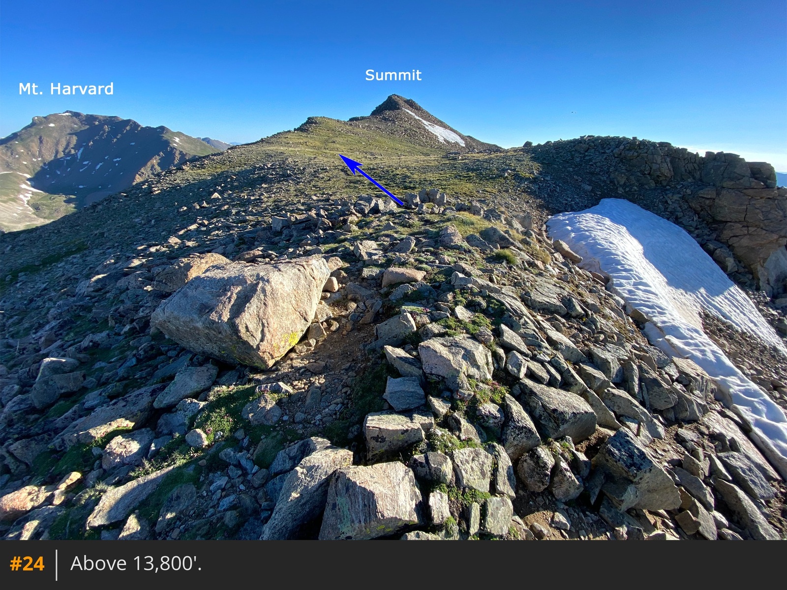
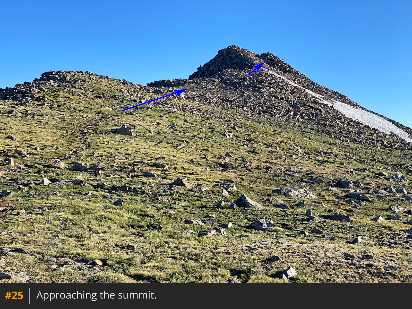
23. Near 13,800', reach a point where you can once again see the summit, beyond a flat section
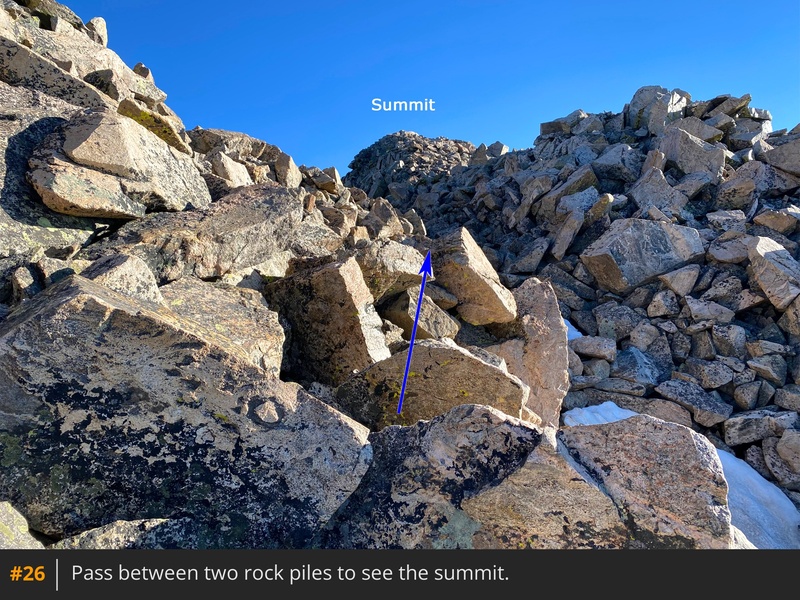
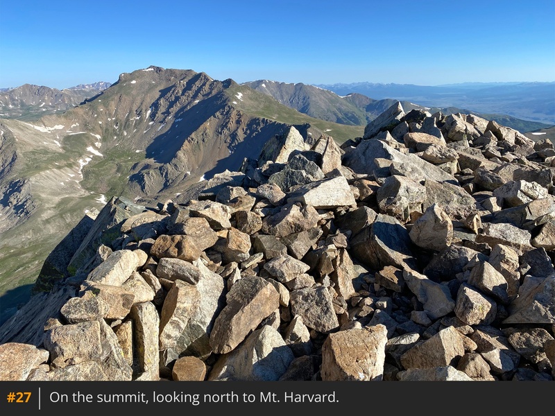
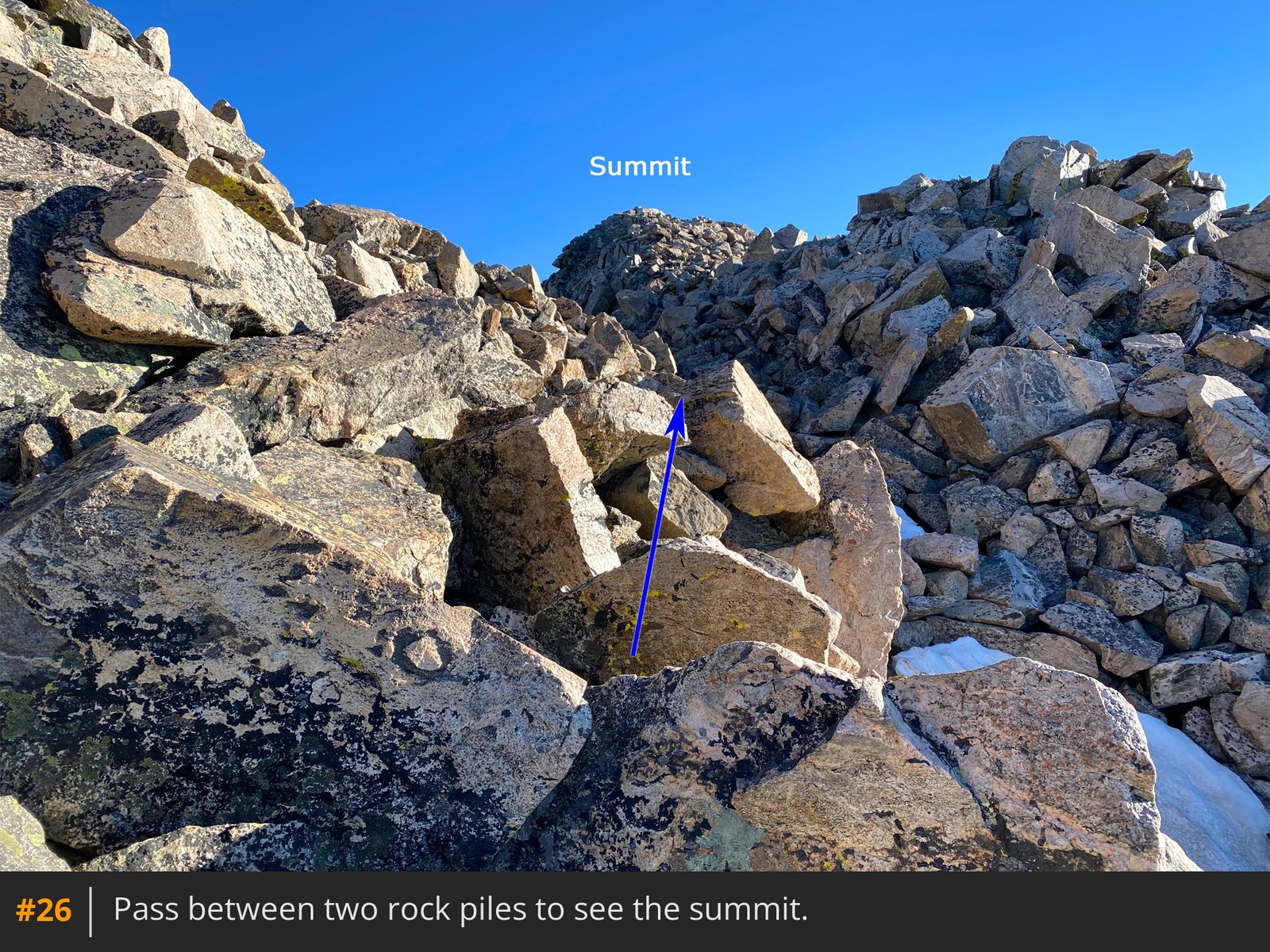
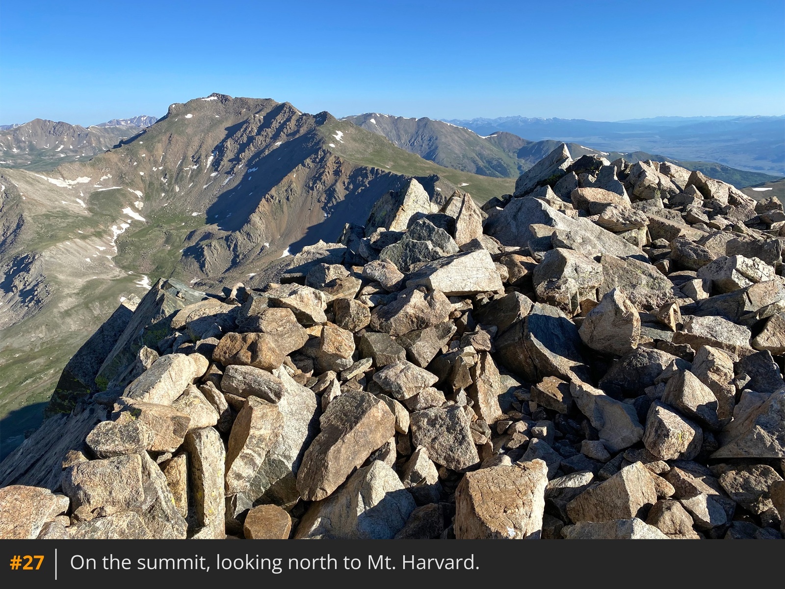
24 25. Pass between two rock piles and gain the summit
26 27. On your descent, be sure to stay on your ascent route all the way back down the southeast ridge
28.





 GPX
GPX KML
KML