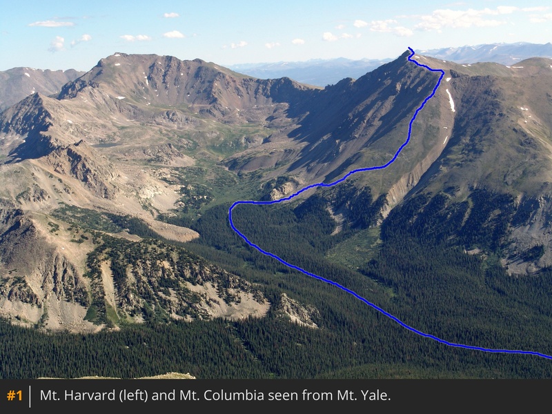
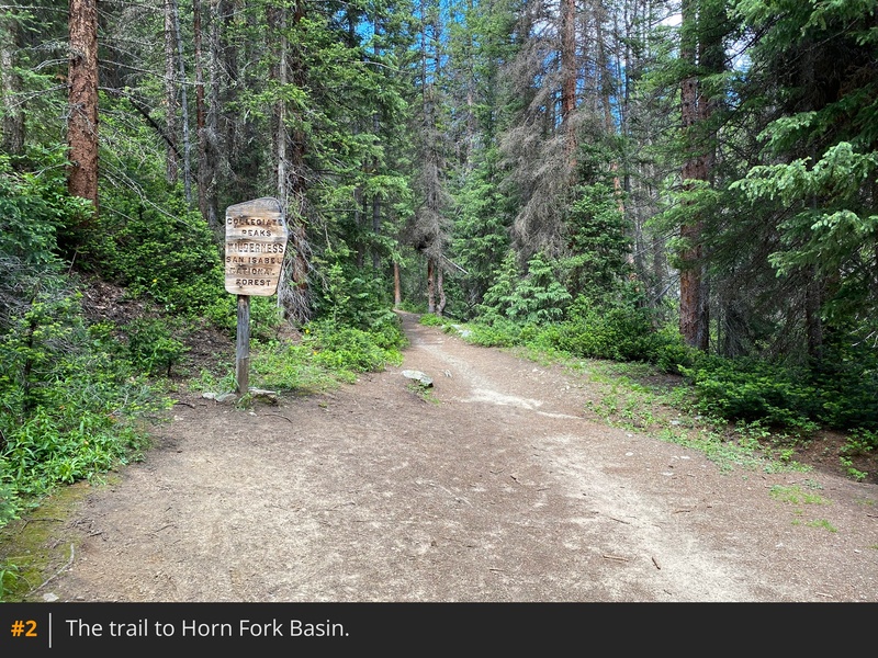
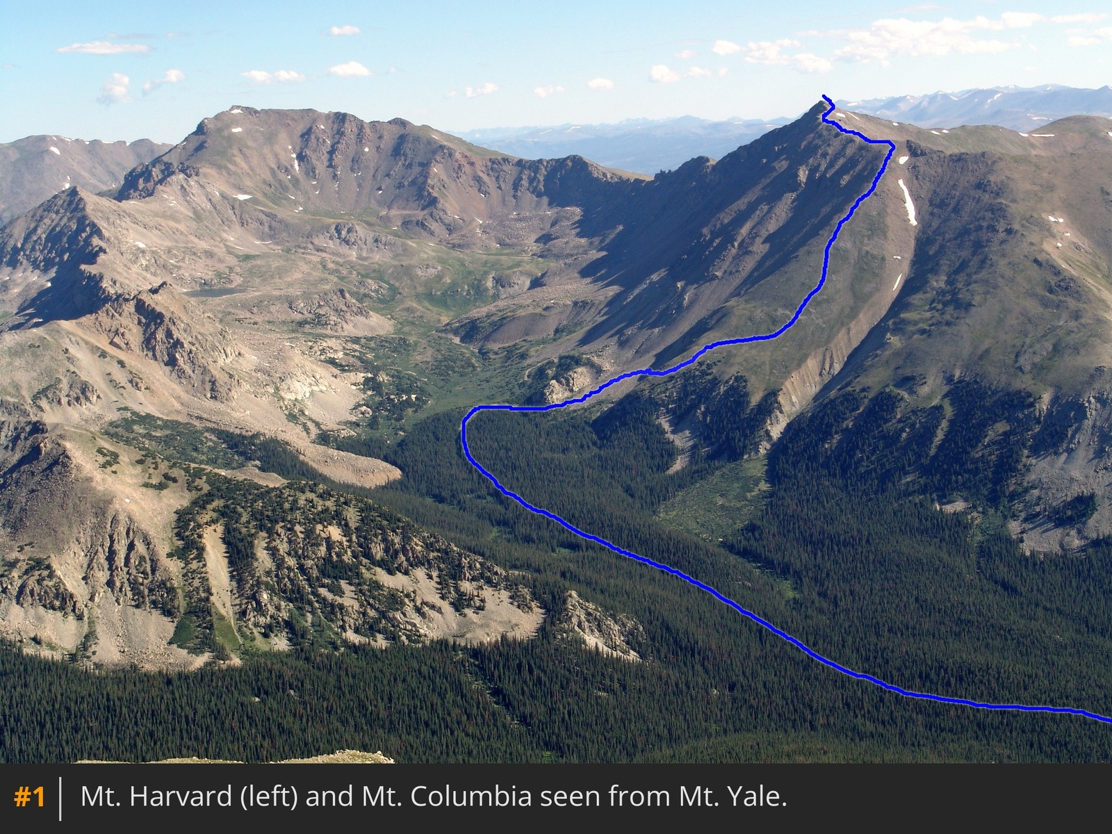
1 shows the route above the tree line. From the trailhead, take the excellent trail downhill to a bridge crossing, and follow it
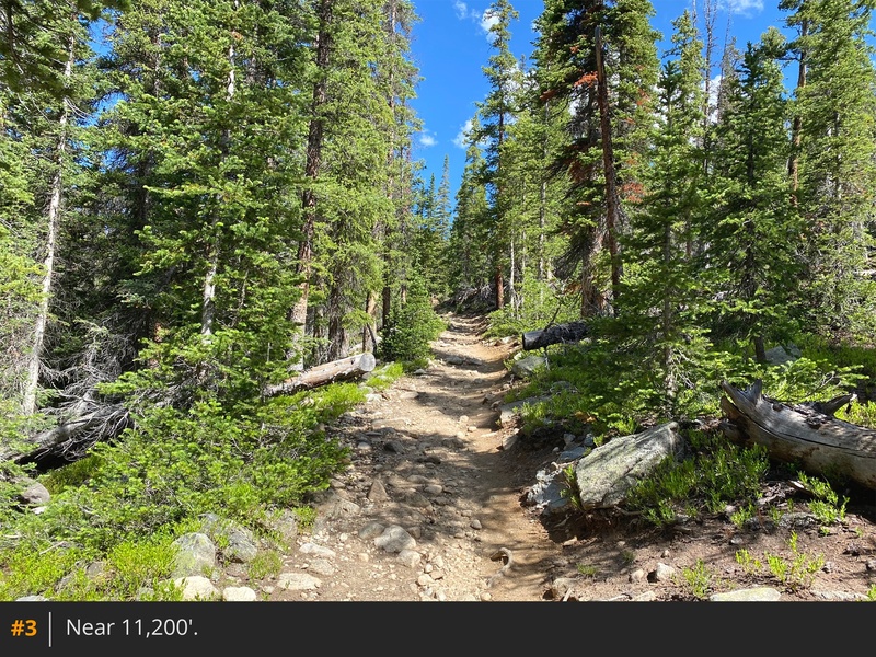
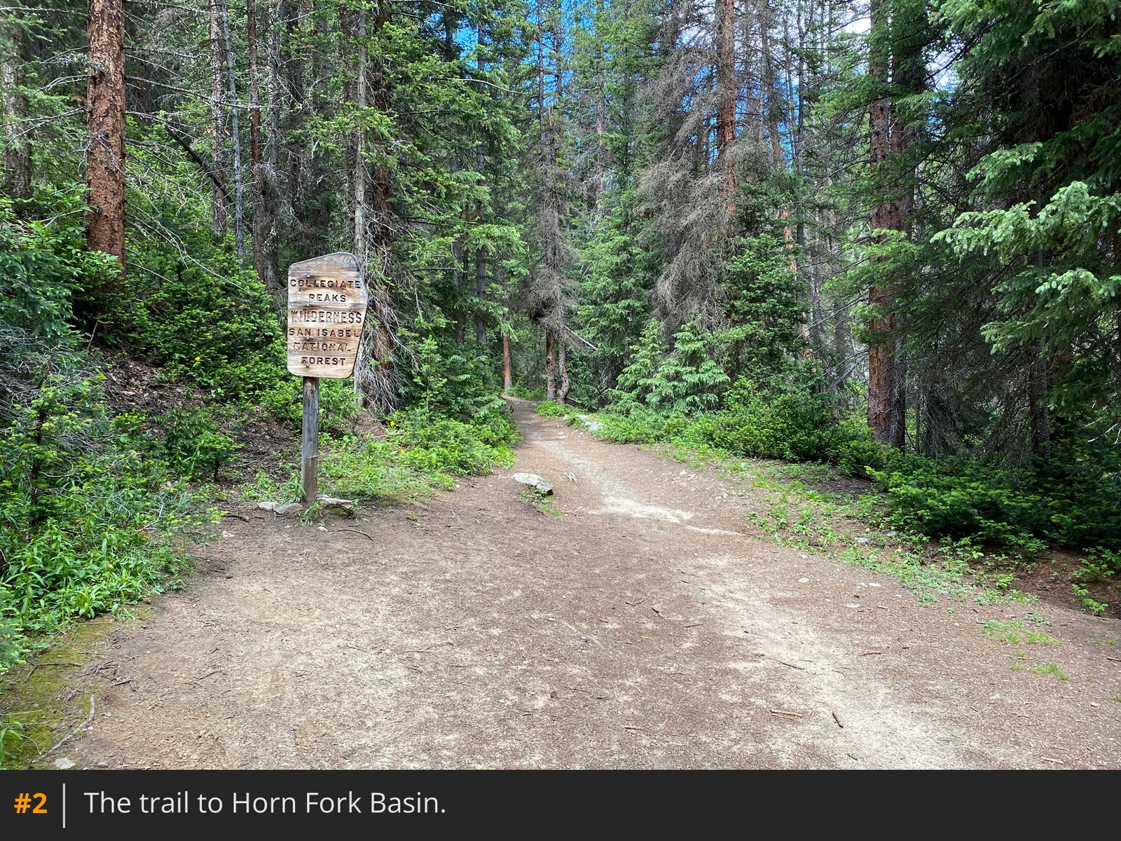
2 for 1.4 miles to another bridge. Shortly after crossing it, you'll arrive at a trail junction. Stay right for Horn Fork Basin and Bear Lake. Follow the trail
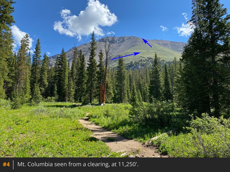
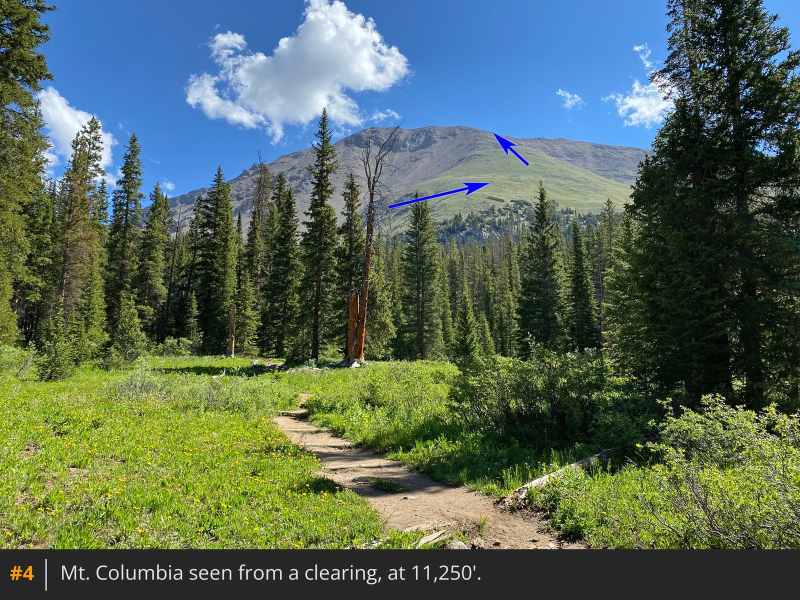
3 for another 1.75 miles to a small clearing at 11,250', where Columbia's southwest shoulder becomes visible to your right
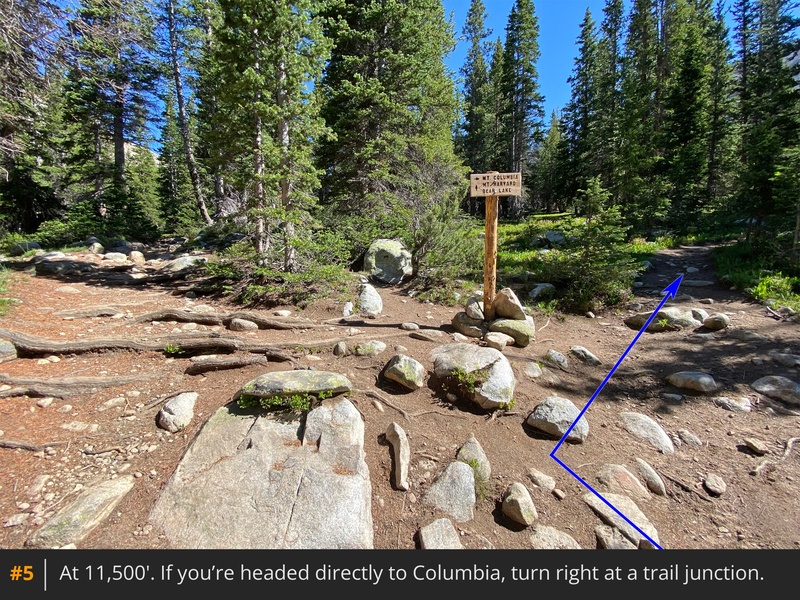
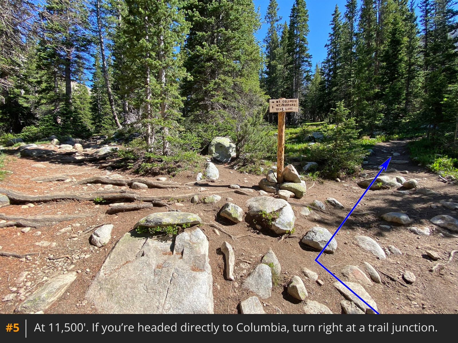
4. Continue on the main trail for another 0.3 mile to the Columbia trail junction
5. Turn right for Mt. Columbia.
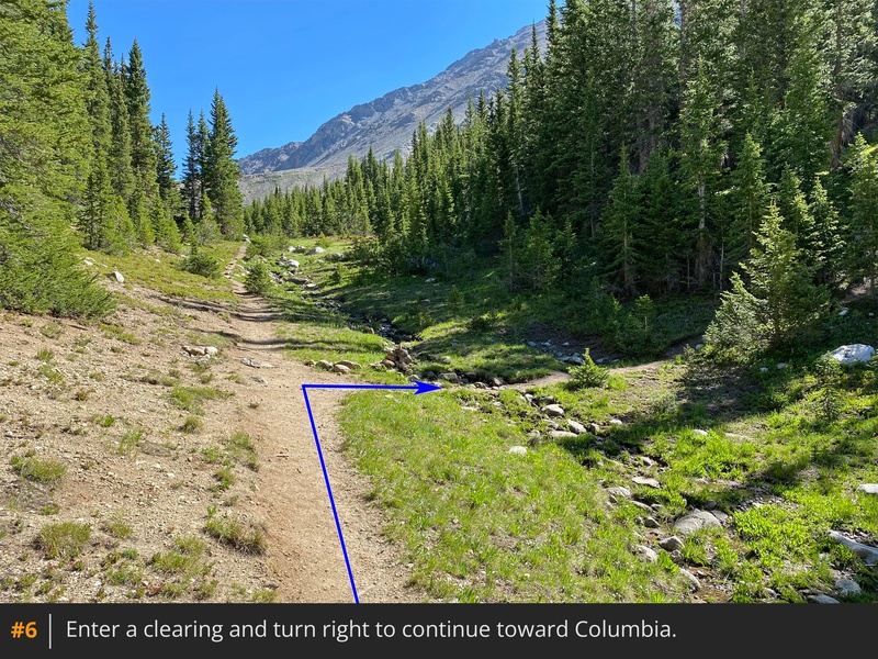
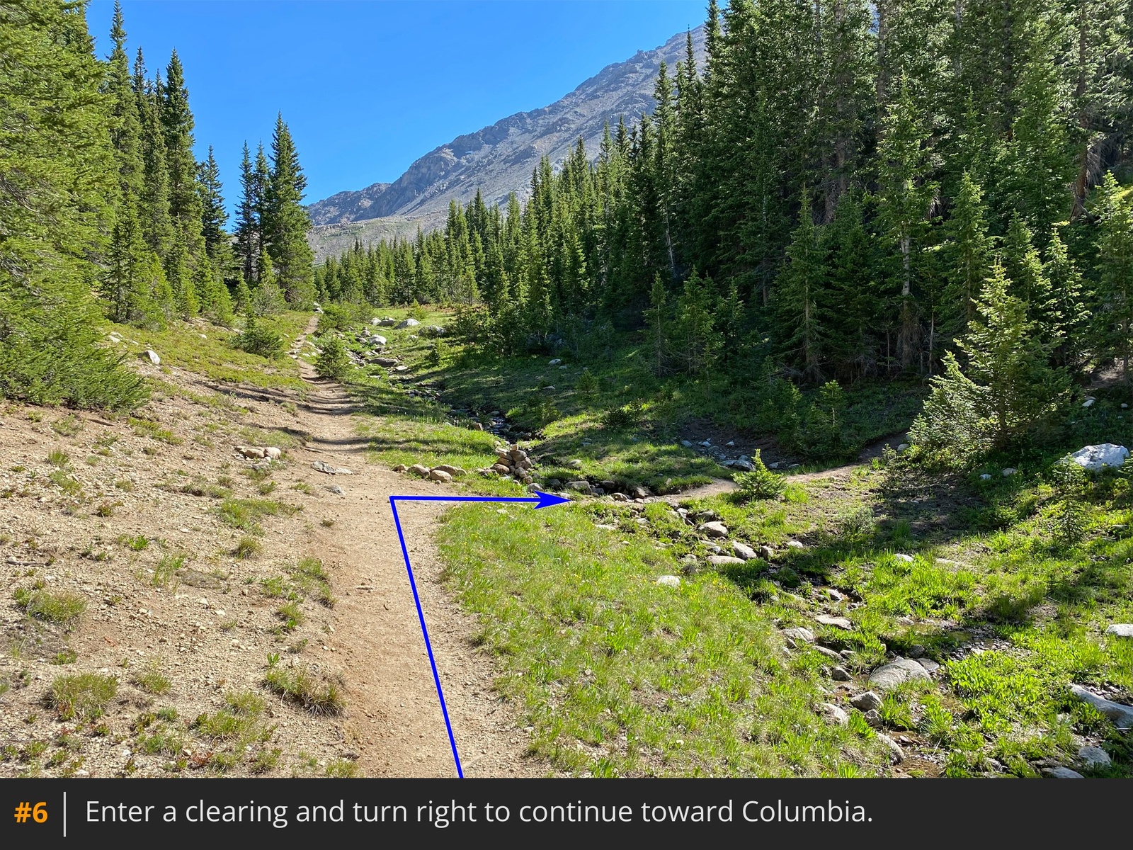
Hike a short distance through the forest and enter a linear clearing to arrive at another trail junction
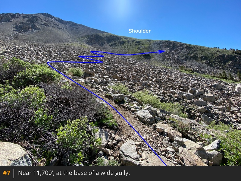
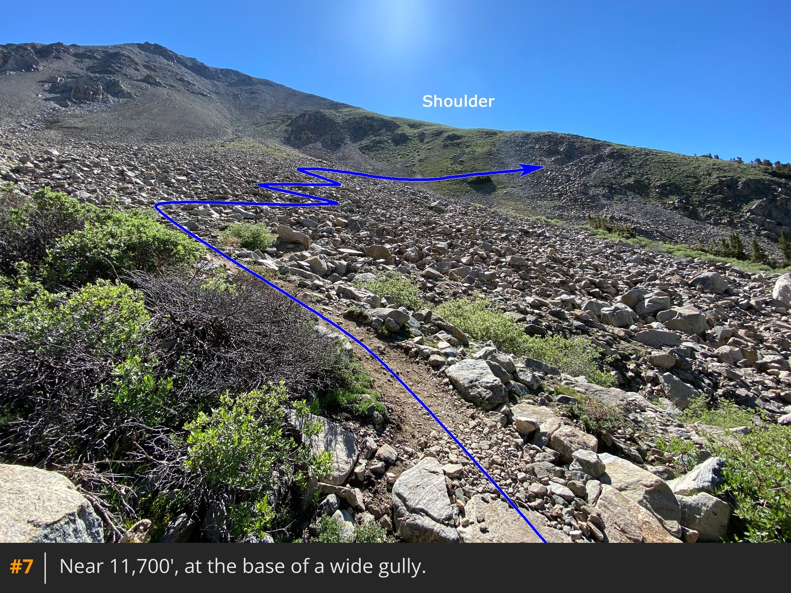
6. Turn right and continue through the forest until reaching another small, linear clearing. Cross this clearing and head southeast, exiting the trees at the base of a wide gully
on Columbia's southwest side
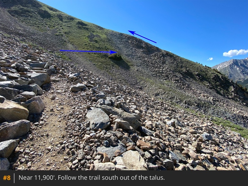
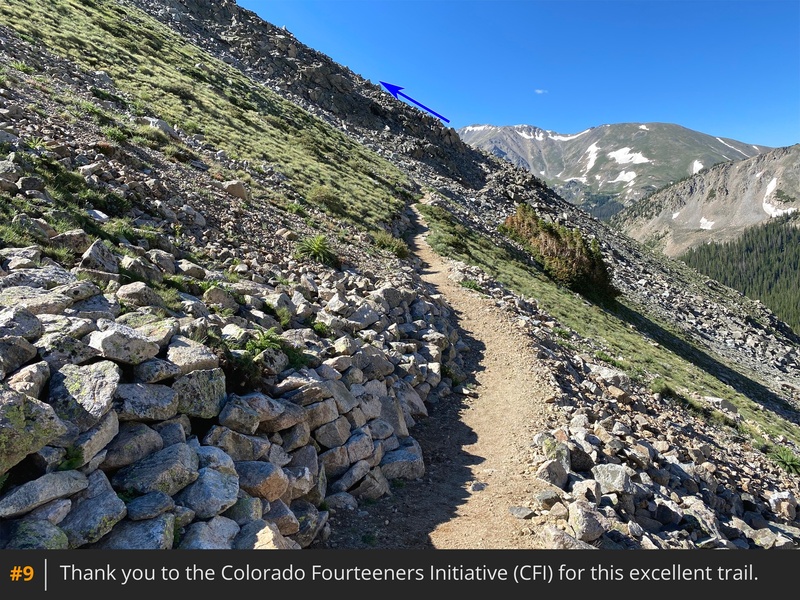
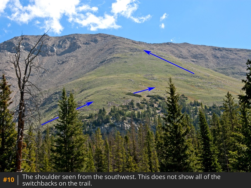
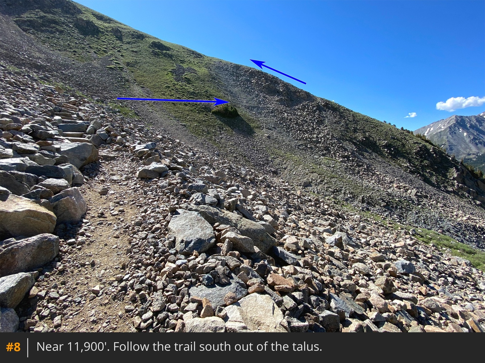
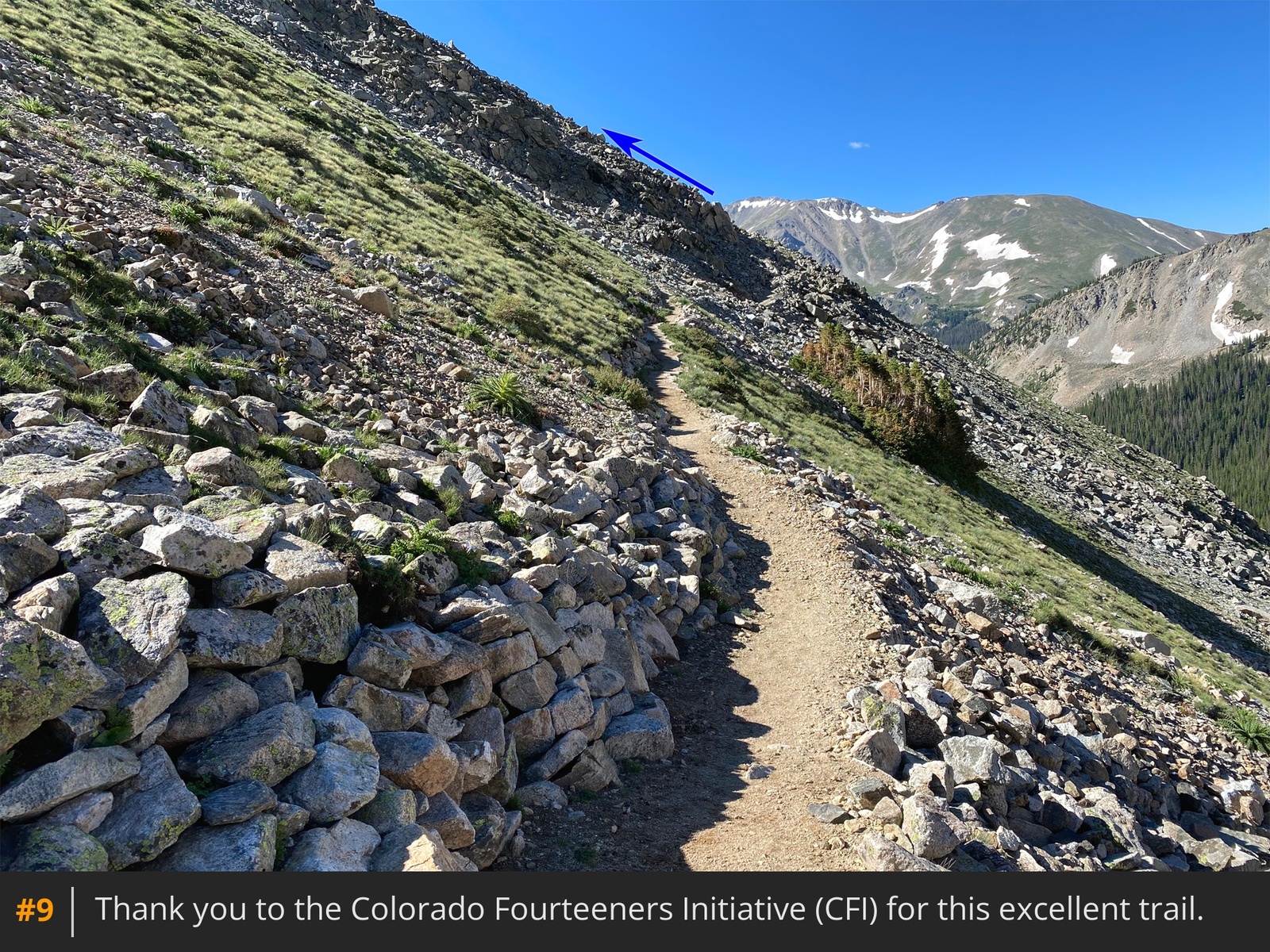
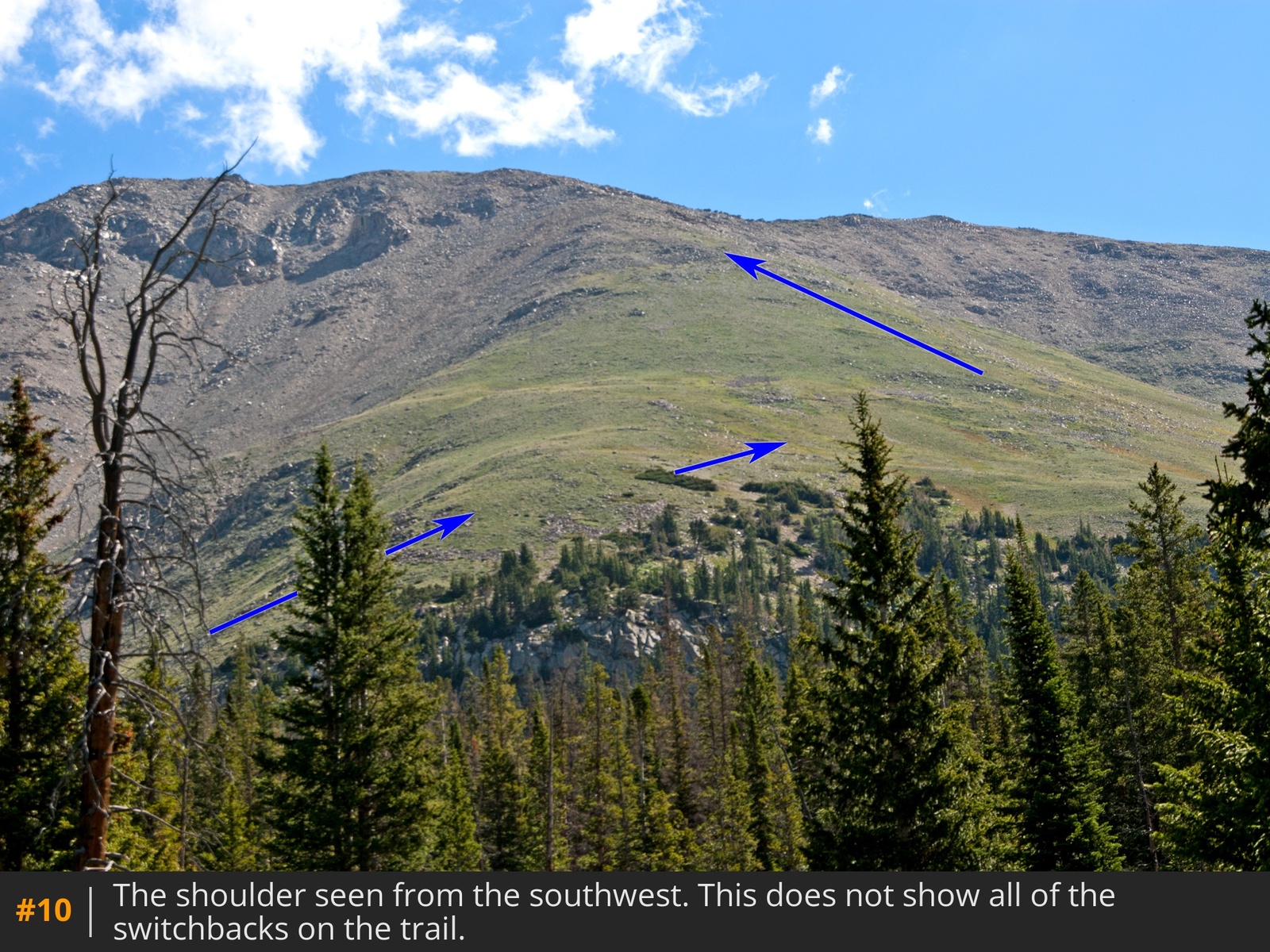
7. Follow the defined trail up through talus, then swing right (southeast) to gain a shoulder
8 9 10.
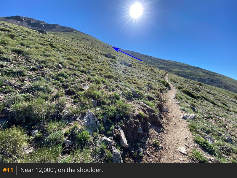
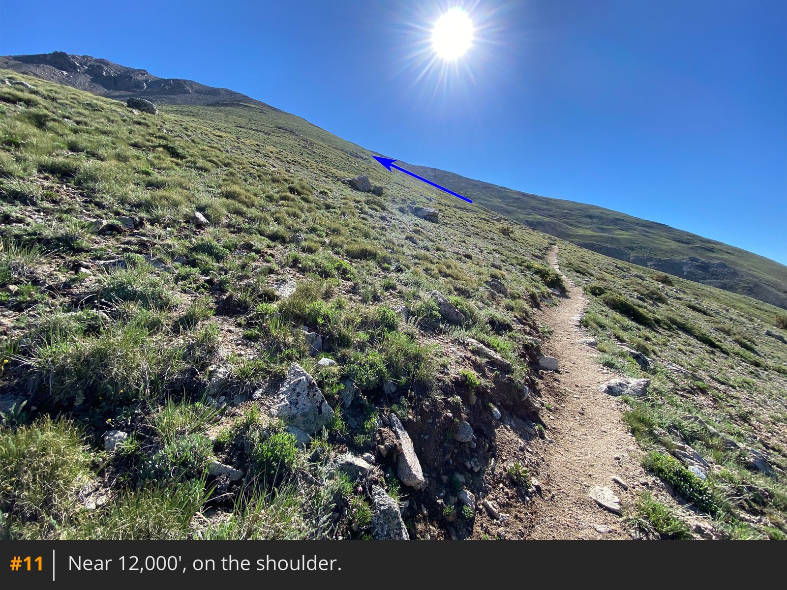
Once on the shoulder
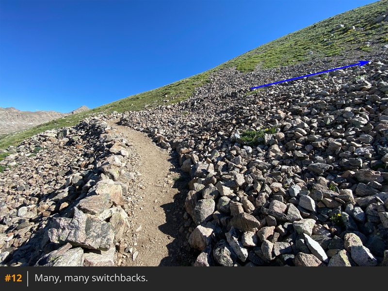
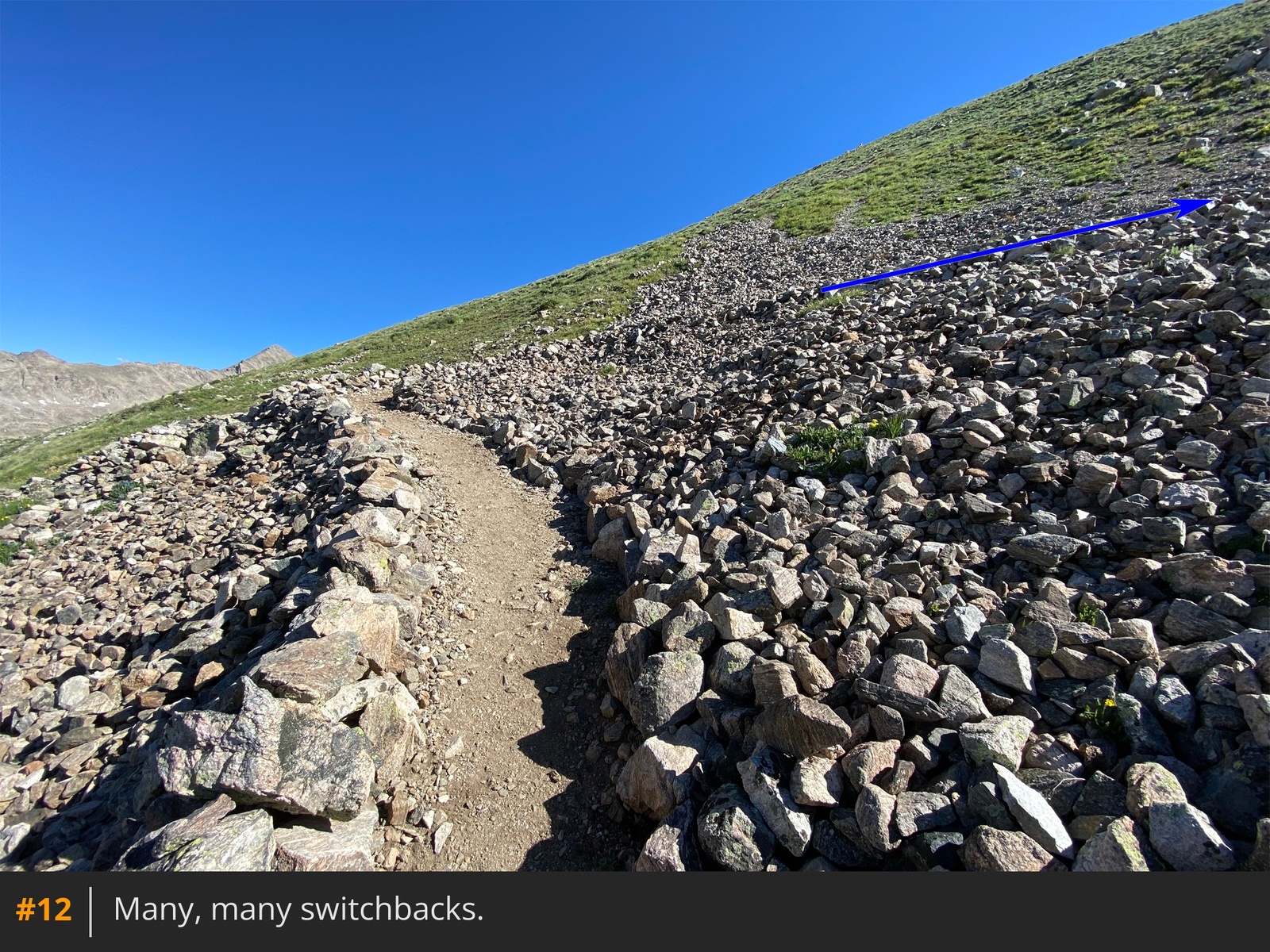
11, follow the trail as it traverses east and then north up the shoulder
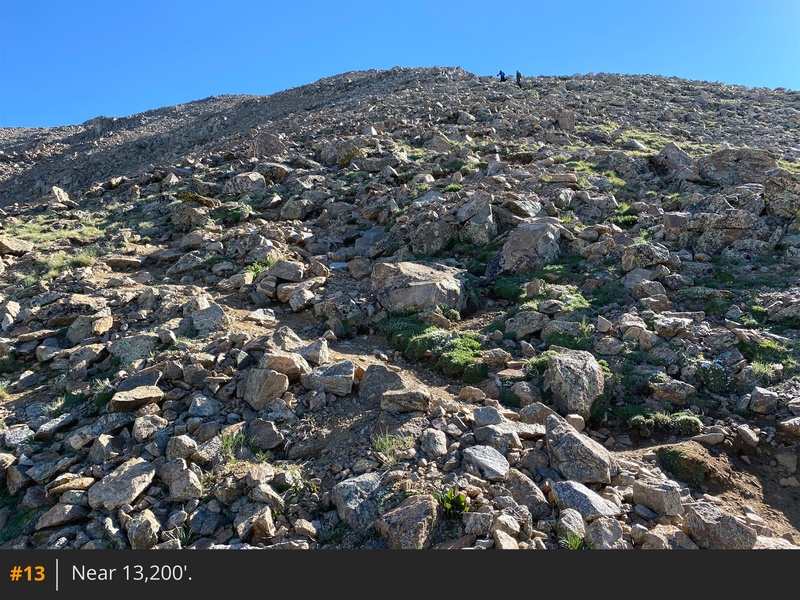
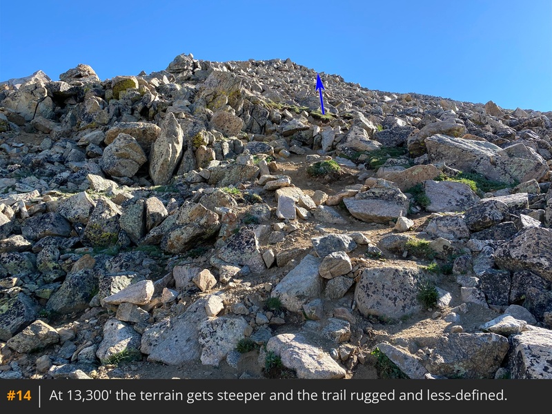
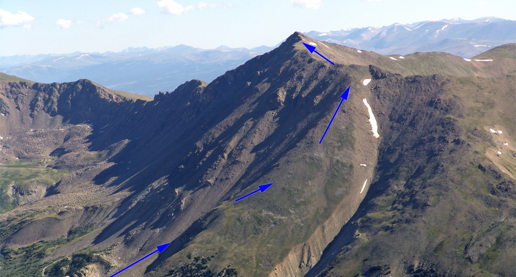
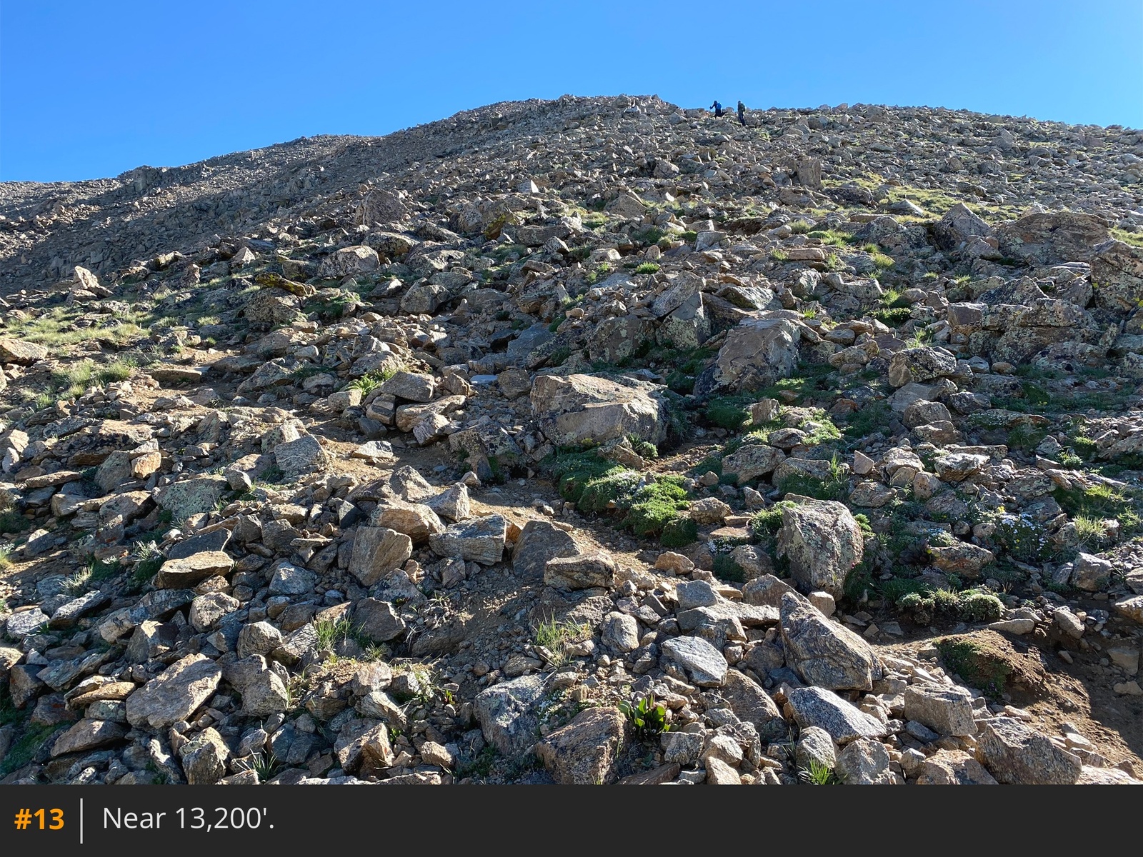
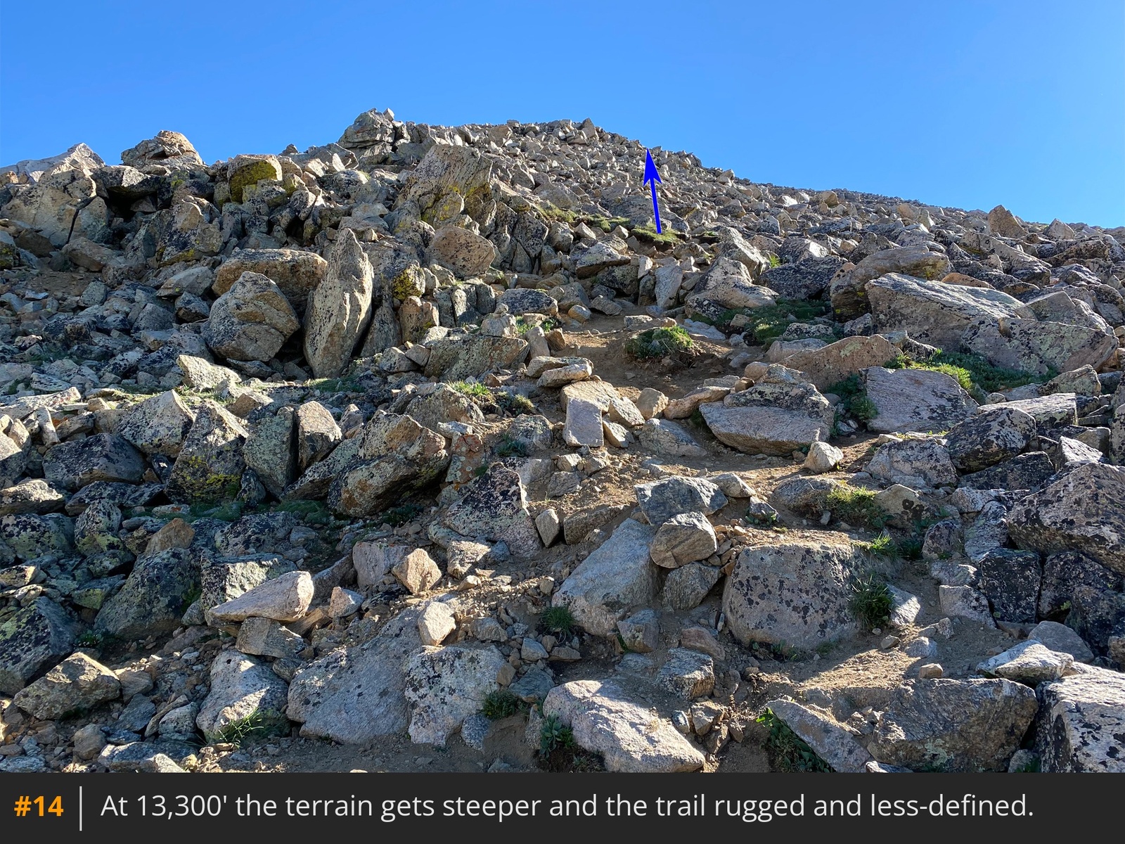
12 13. Near 13,300', the terrain becomes steeper, and the trail becomes more rugged and less defined
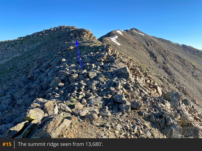
14. Carefully zigzag through the rocks until the terrain levels slightly at 13,500', then follow the trail to the ridge
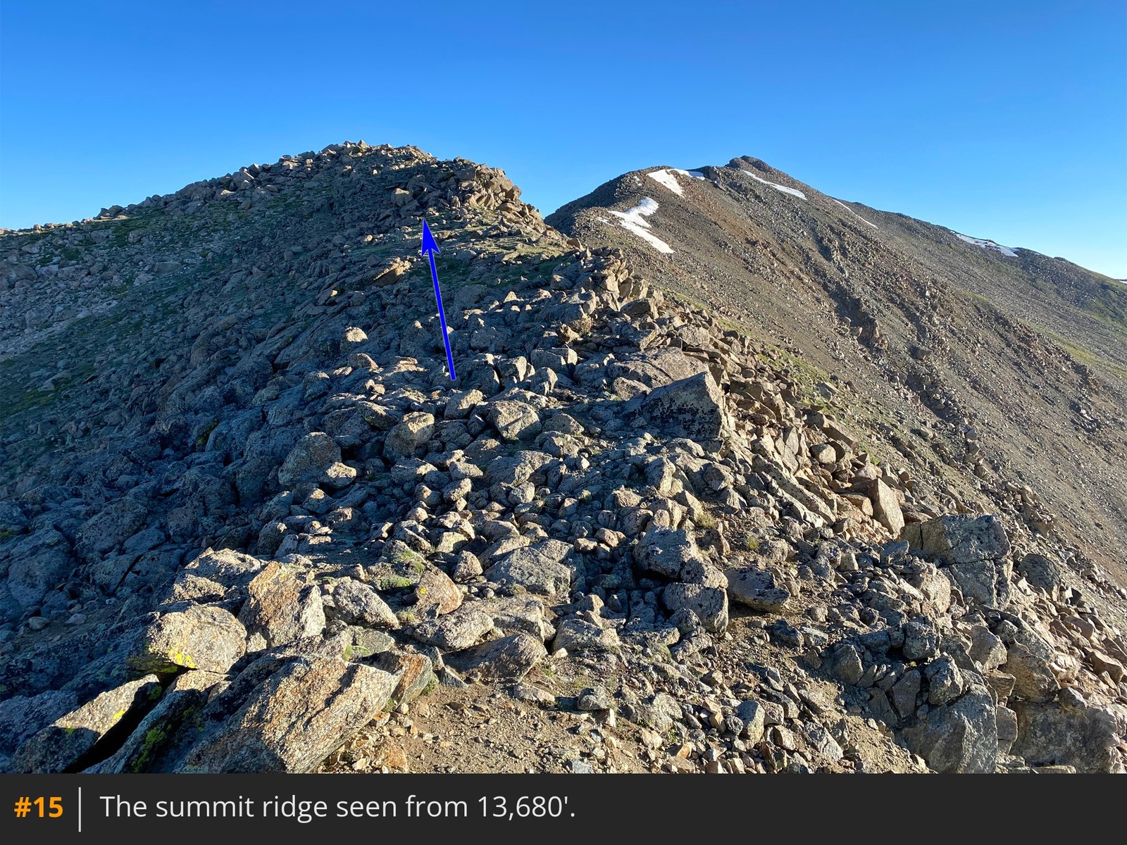
at 13,680'
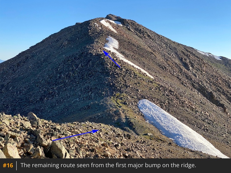
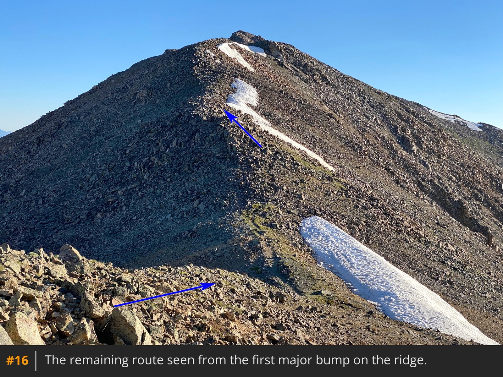
15. The summit is still a half mile away. With the remaining route now visible, hike north along the ridge, navigating rock bumps
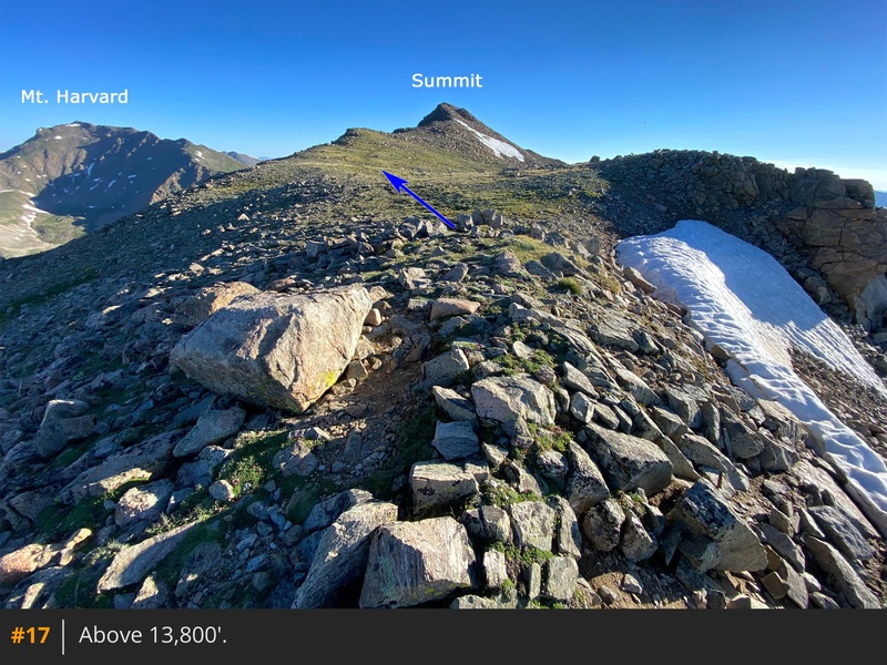
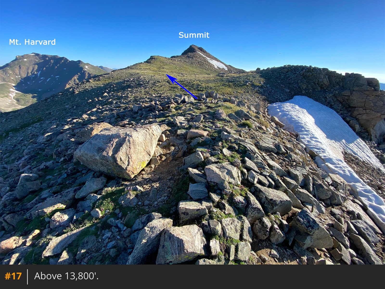
16. Near 13,800', you'll reach a point where the summit comes into view again, across a flat section
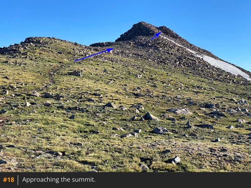
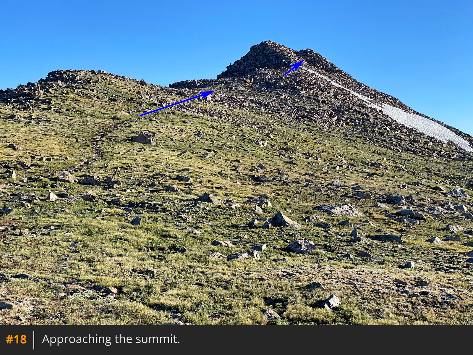
17. Continue along the ridge
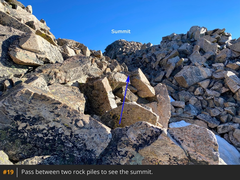
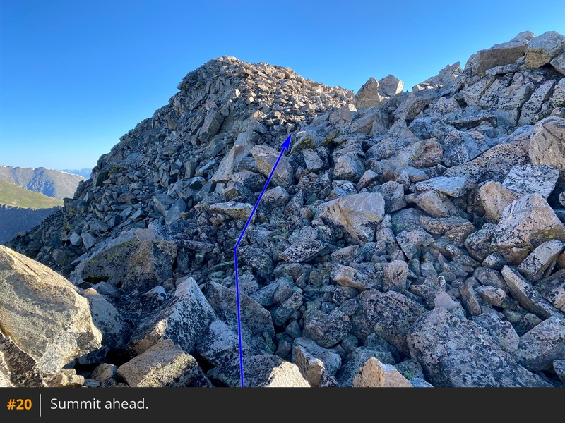
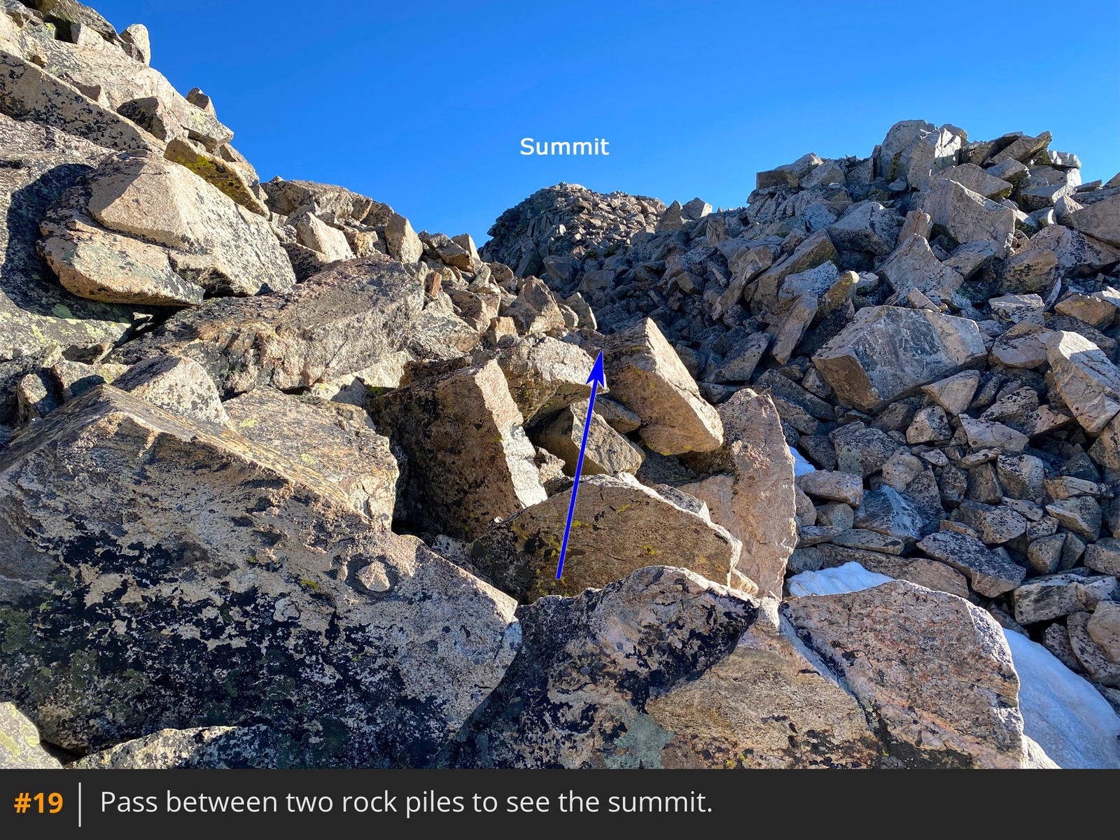
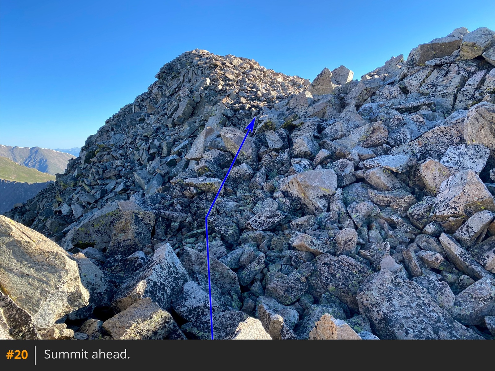
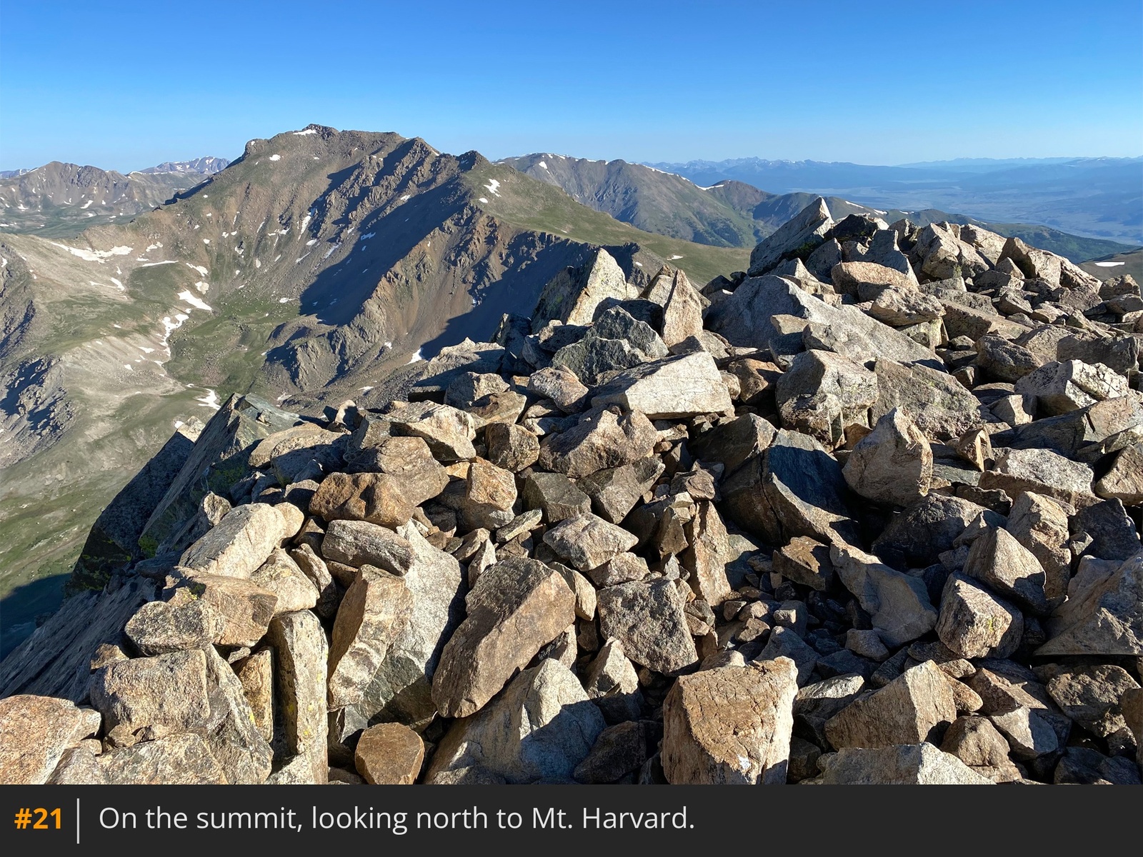
18, pass between two rock piles, and finally gain the summit
19 20 21.






 GPX
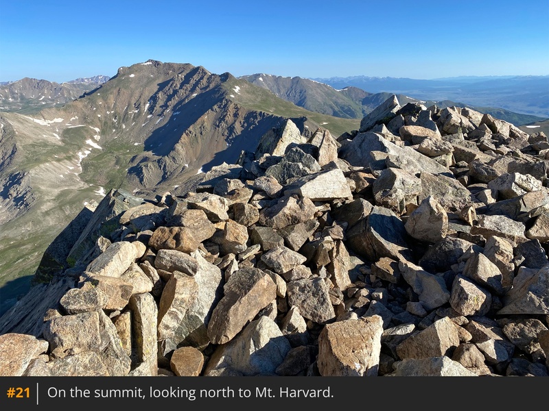
GPX KML
KML