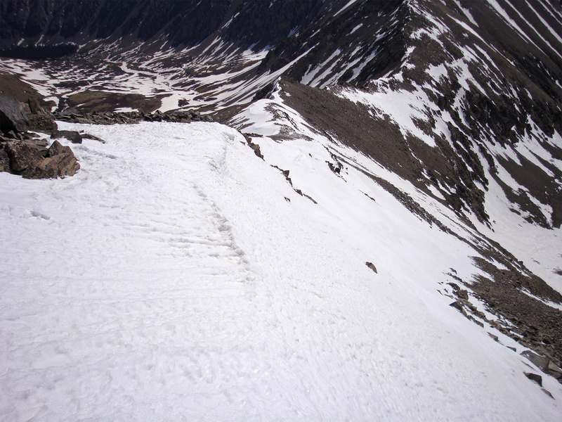
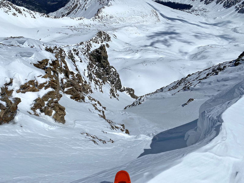
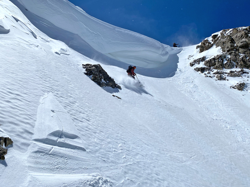
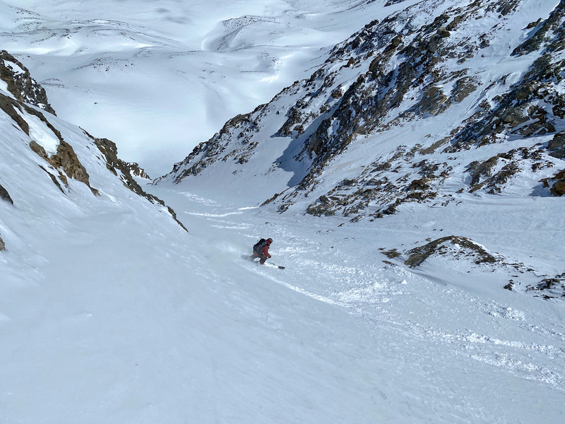
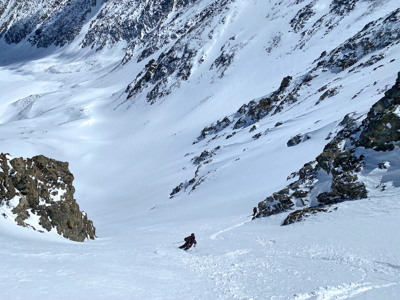
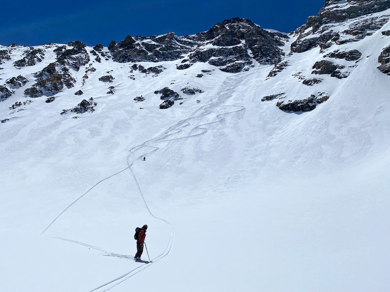
From the summer trailhead, cross the bridge that spans the stream in Stevens Gulch and follow the well-defined Grays trail up the hill into Stevens Gulch.
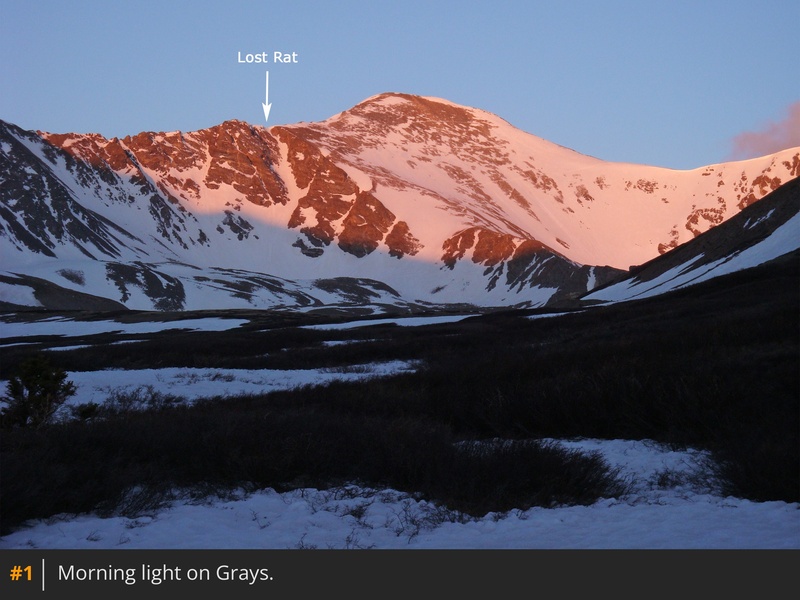
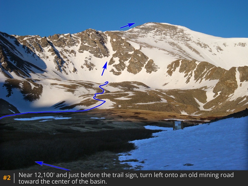
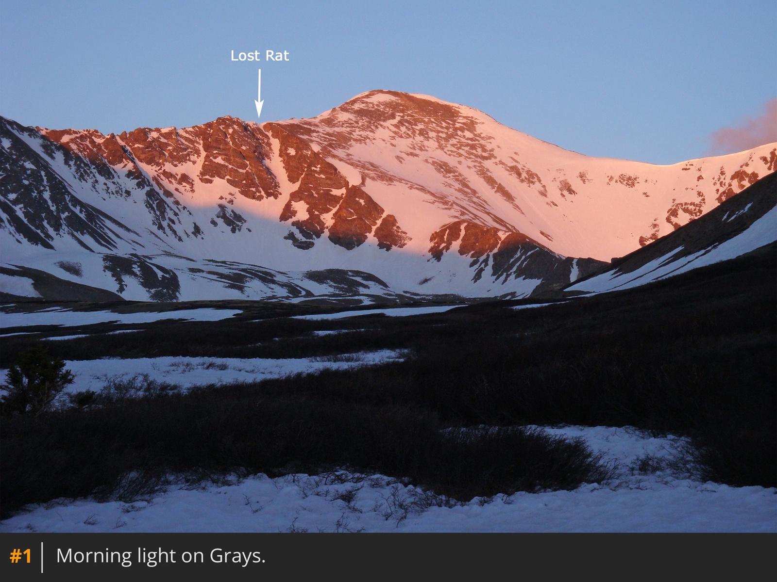
1 is the view of Grays from near 11,700'. Continue on the Grays trail for nearly 1.5 miles until you are near the trail sign near 12,100'. Just before the sign, locate a small road that leaves the left side of the Grays trail
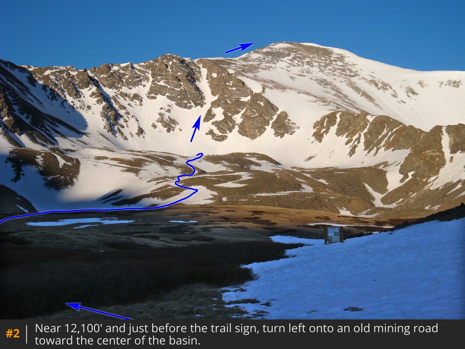
2. Follow the small road down a bit and then south towards the center of the basin.
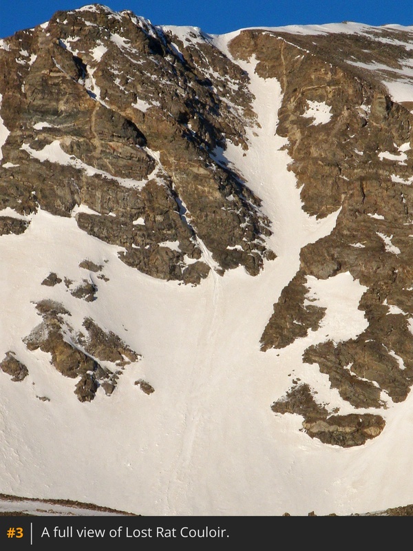
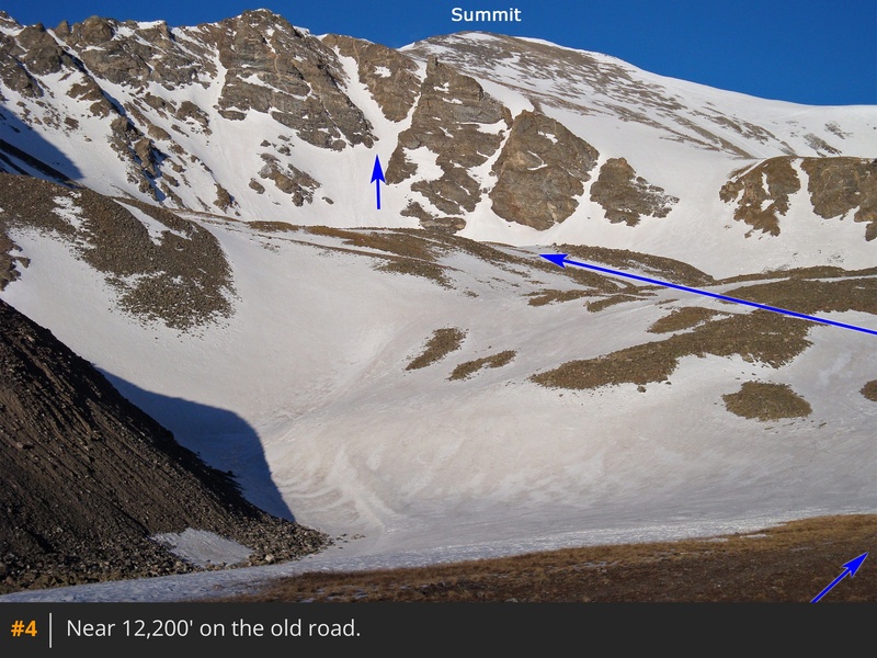
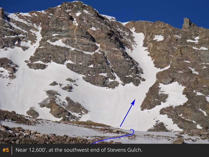
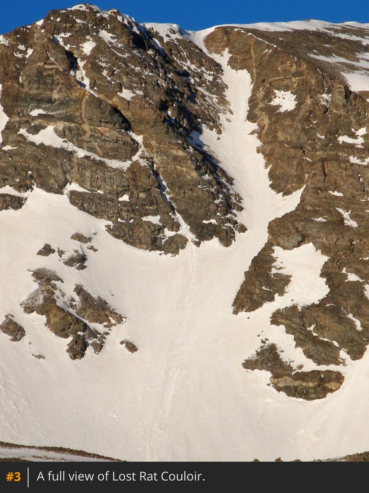
3 is another close-up view of Lost Rat. After heading south for a bit, continue on the road as you approach the southwest end of the basin
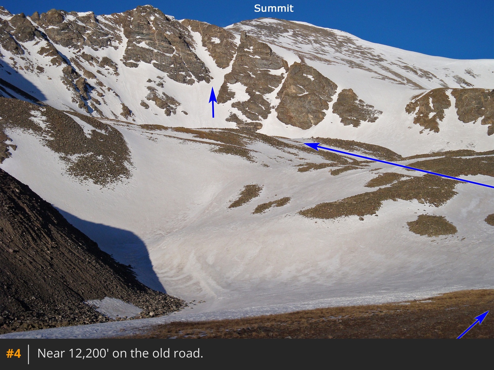
4. Stay on or near the road as it climbs onto the talus below Lost Rat
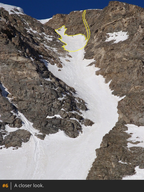
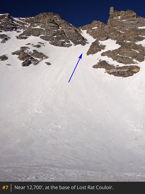
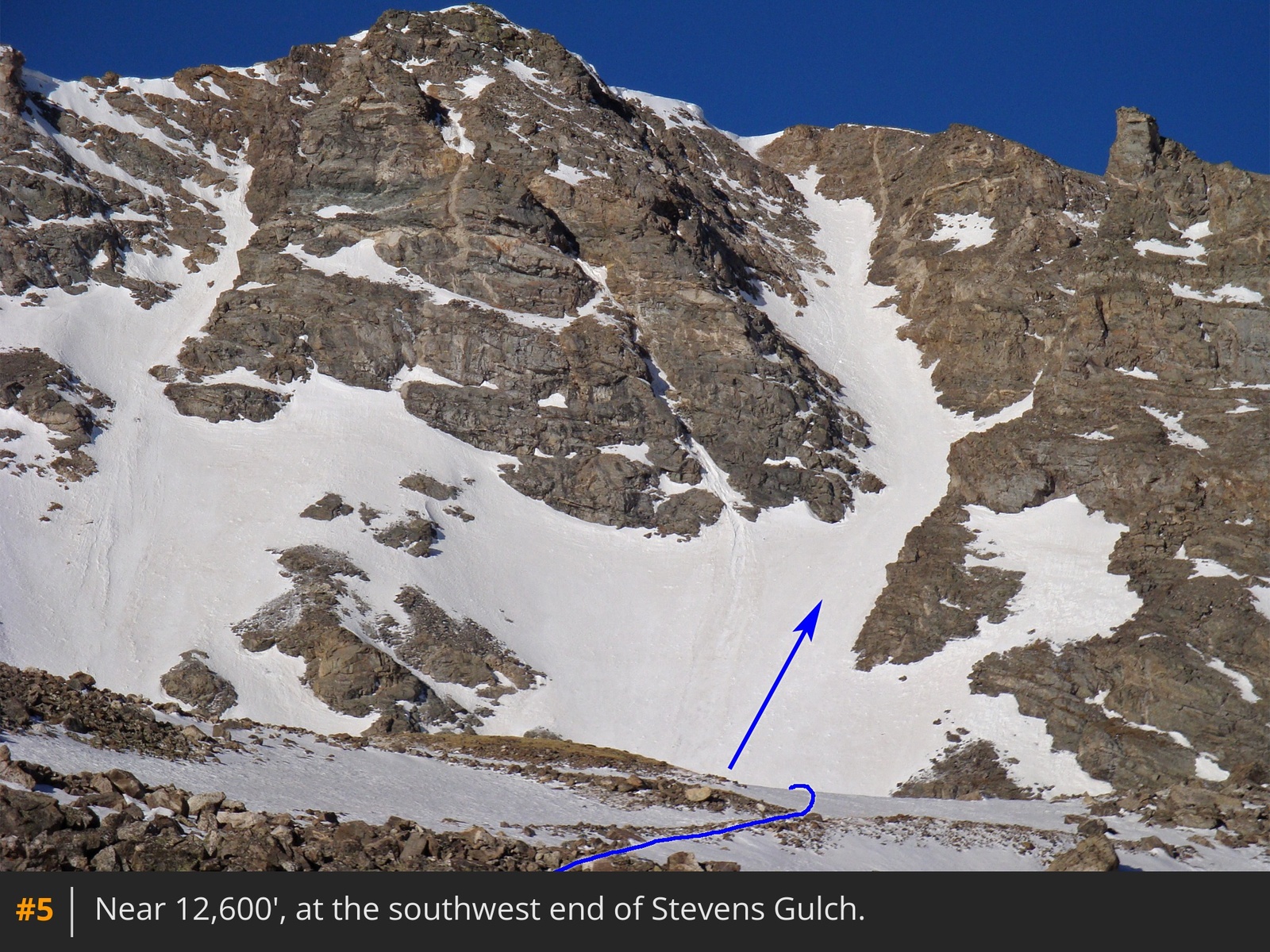
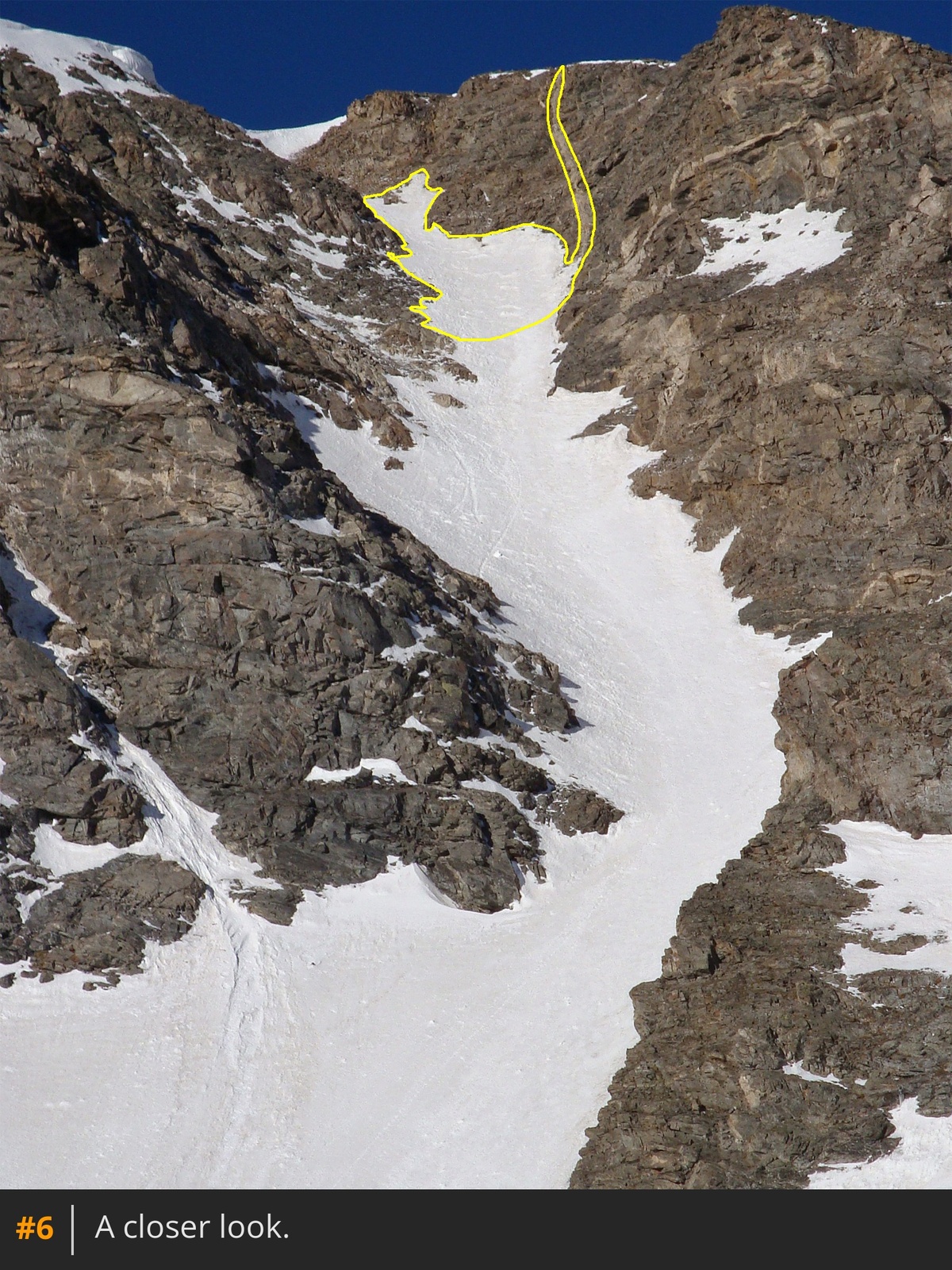
5 6. Hike over to the base of the couloir
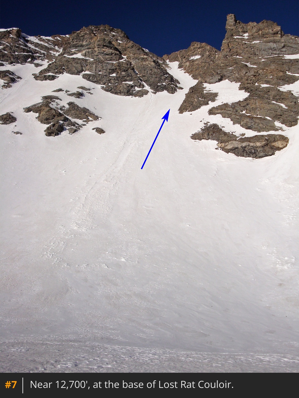
7. Crampons, axe, helmet, and avalanche gear are recommended.
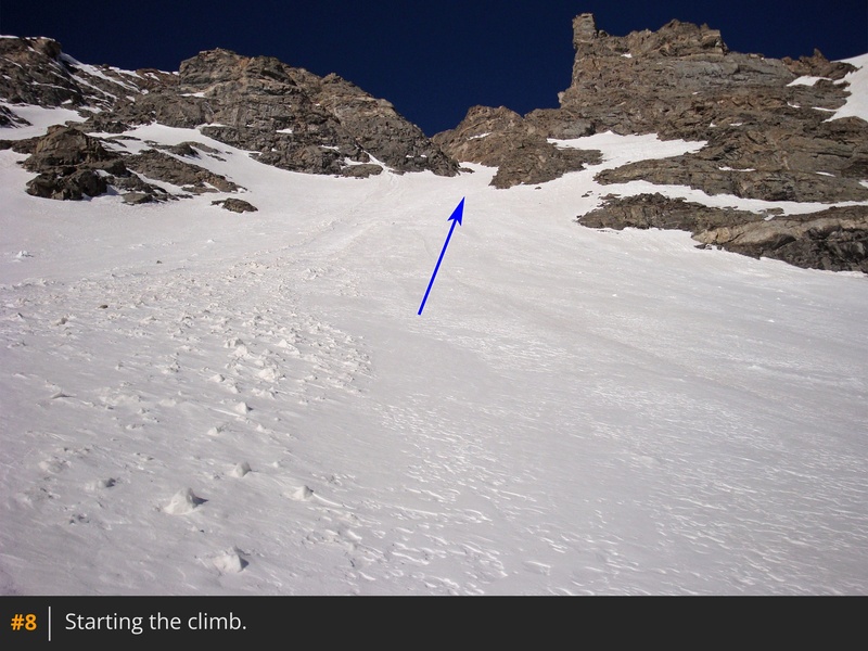
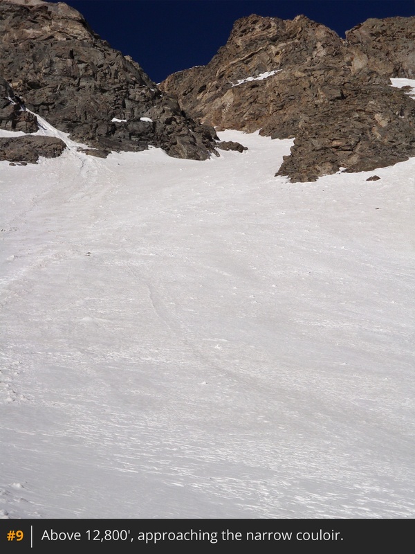
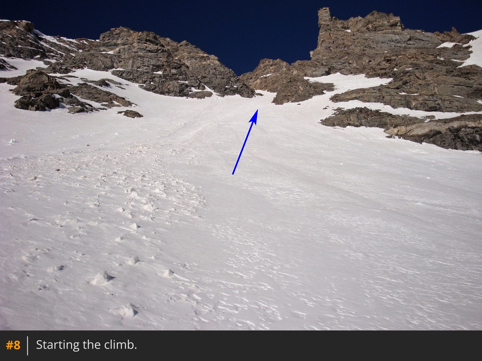
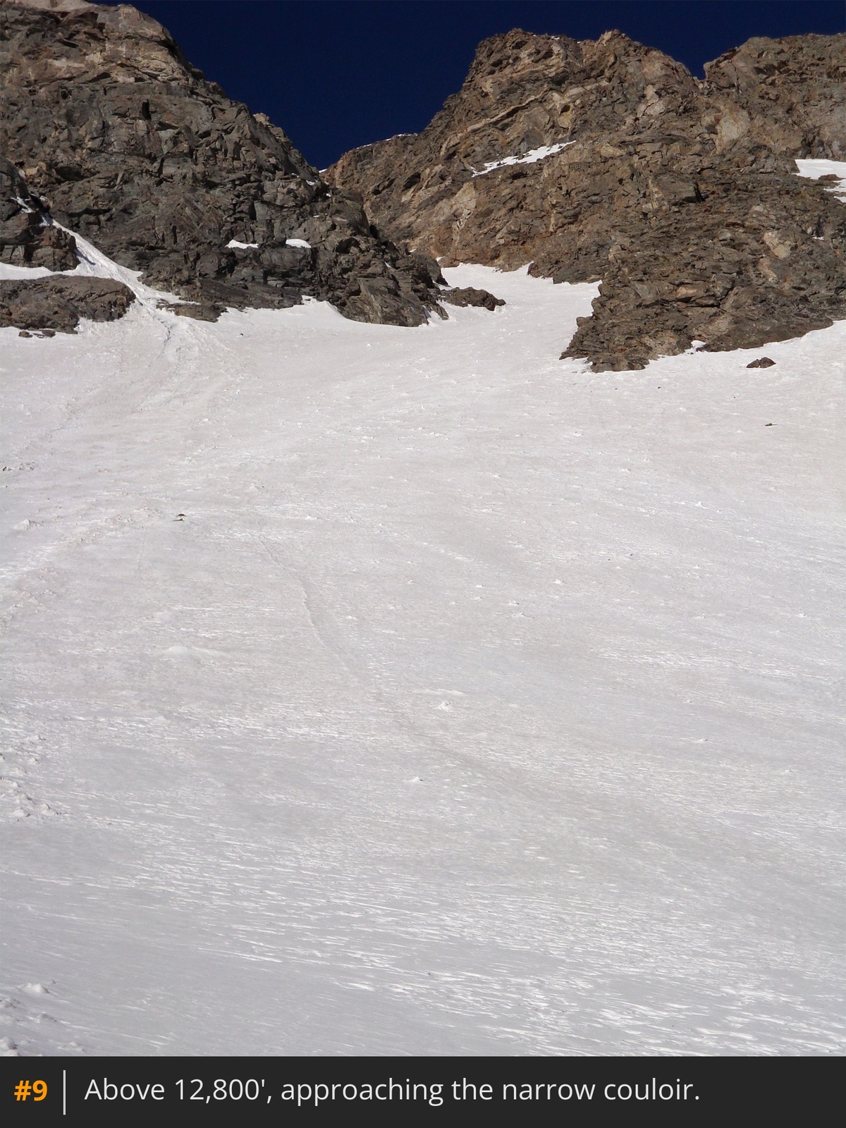
Start climbing. Above 12,800', the terrain steepens as you approach the confines of the couloir
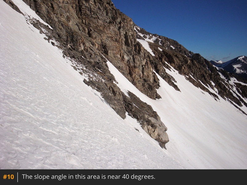
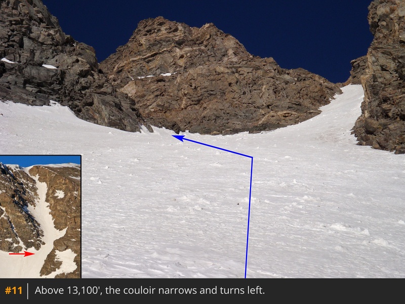
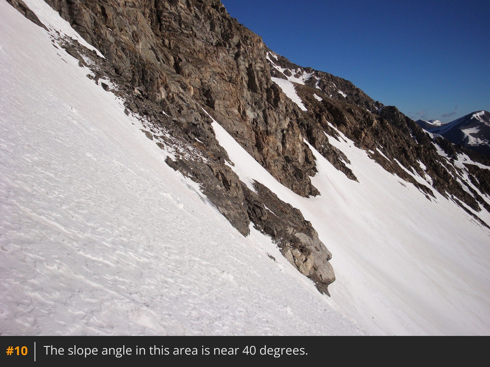
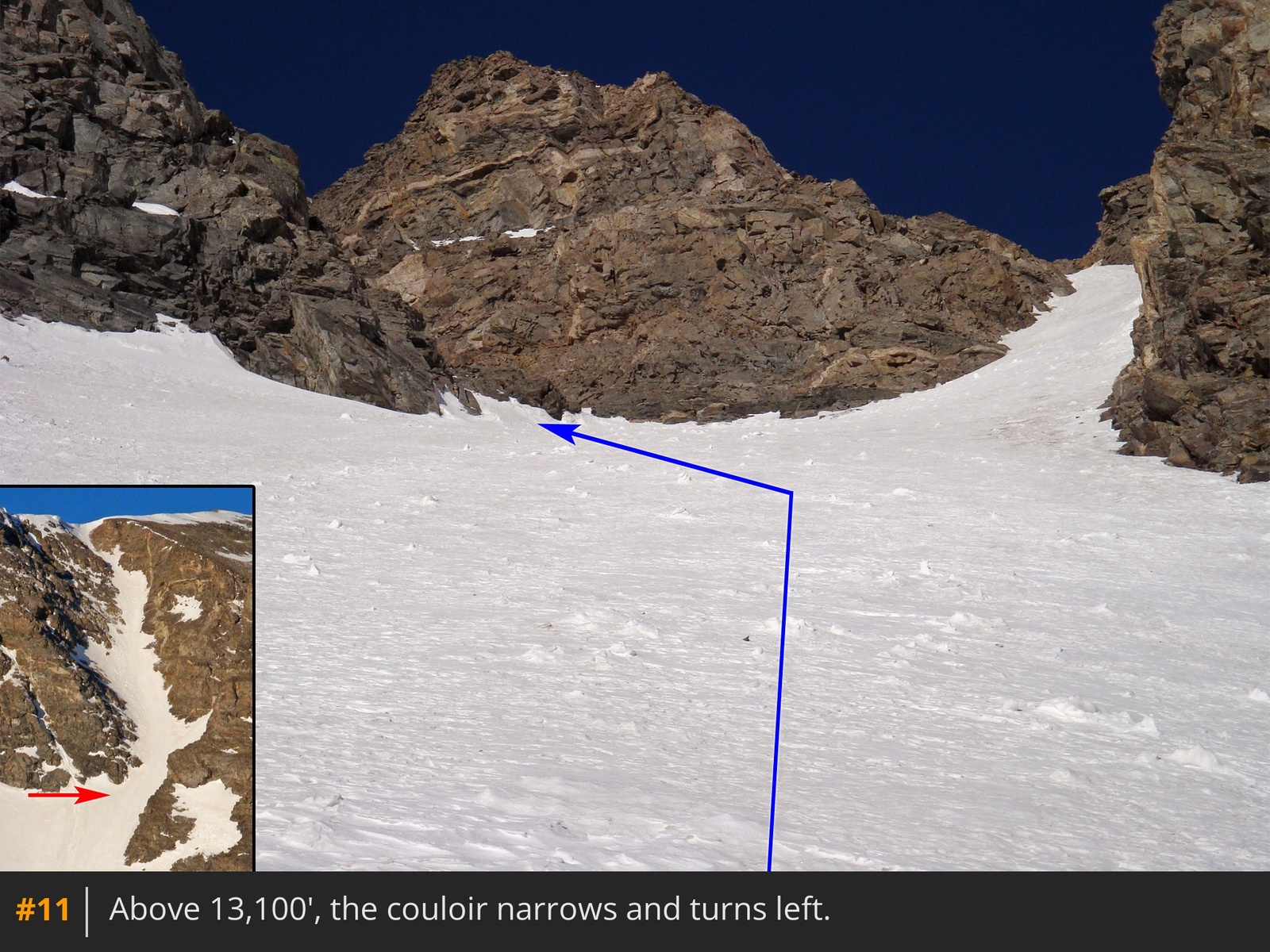
8 9 10. Above 13,100', reach a fork in the couloir
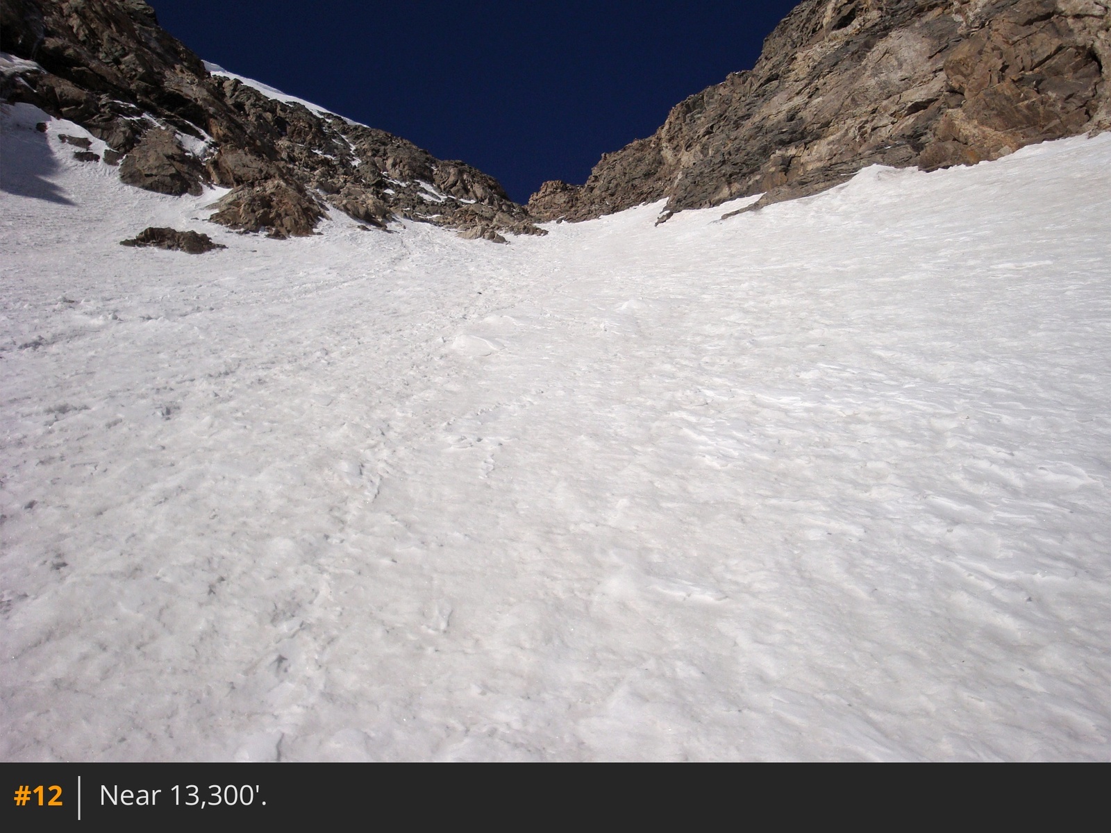
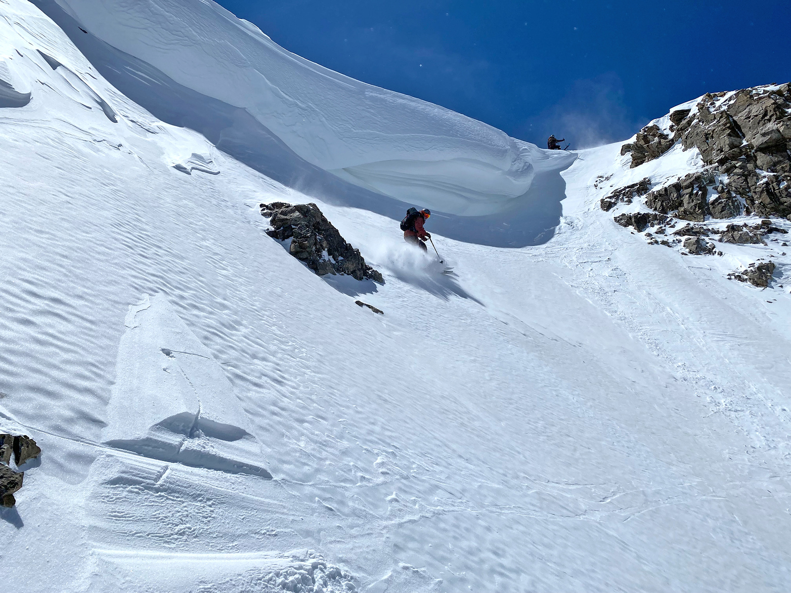
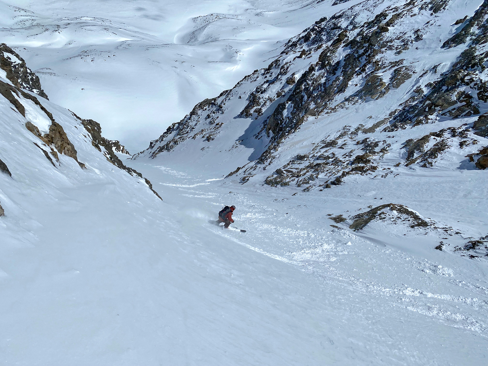
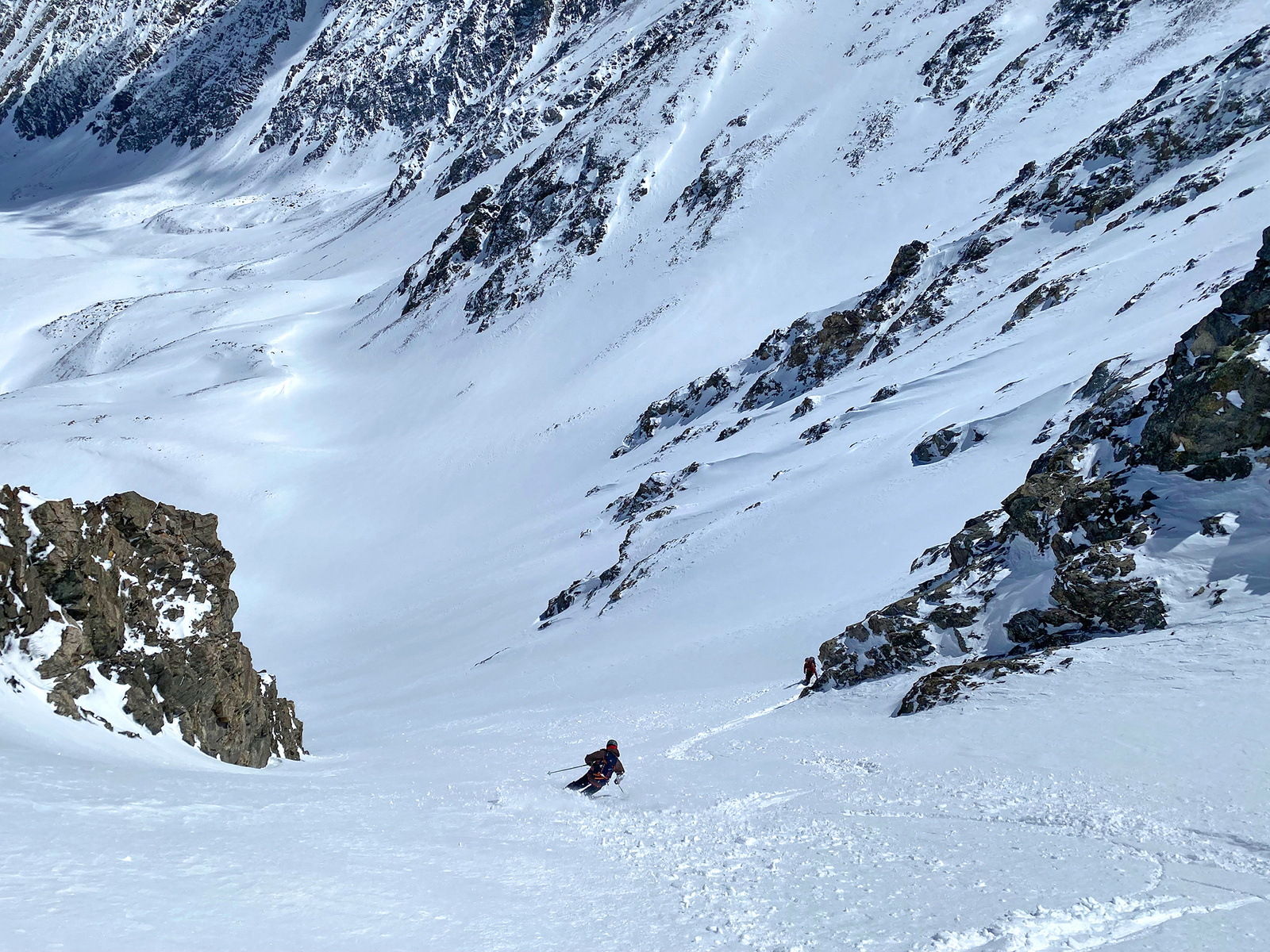
11. Stay left and continue up the main couloir. The next 300 feet is straightforward and the slope angle reaches 45 degrees
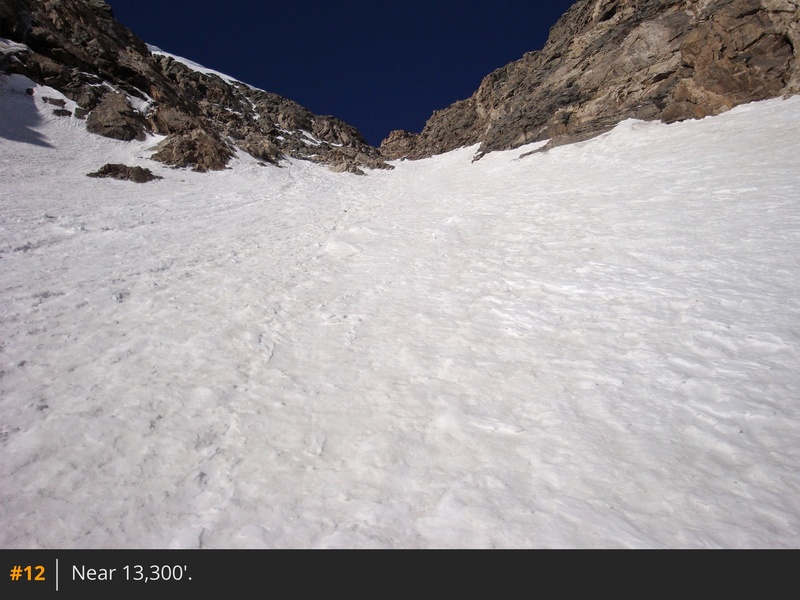
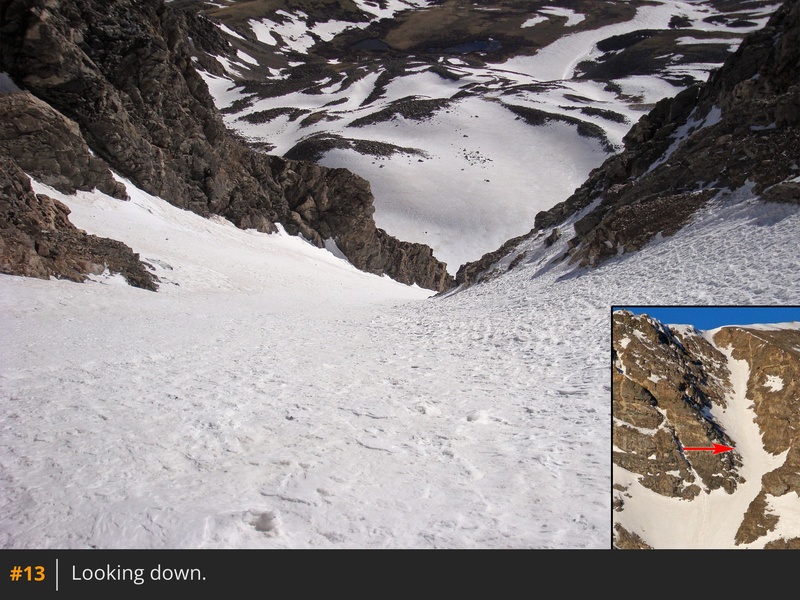
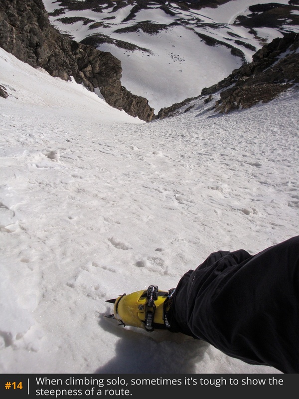
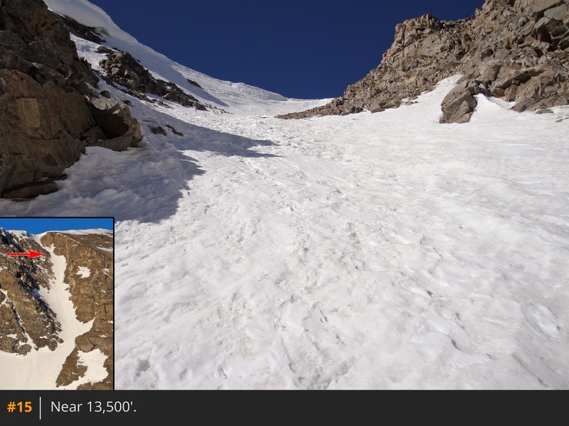
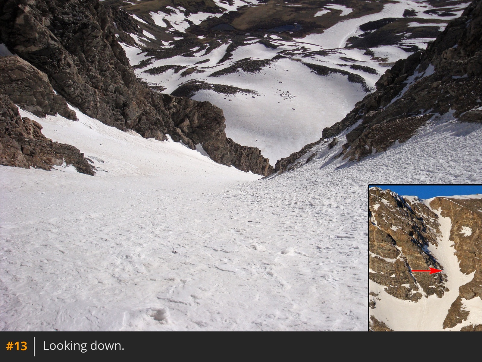
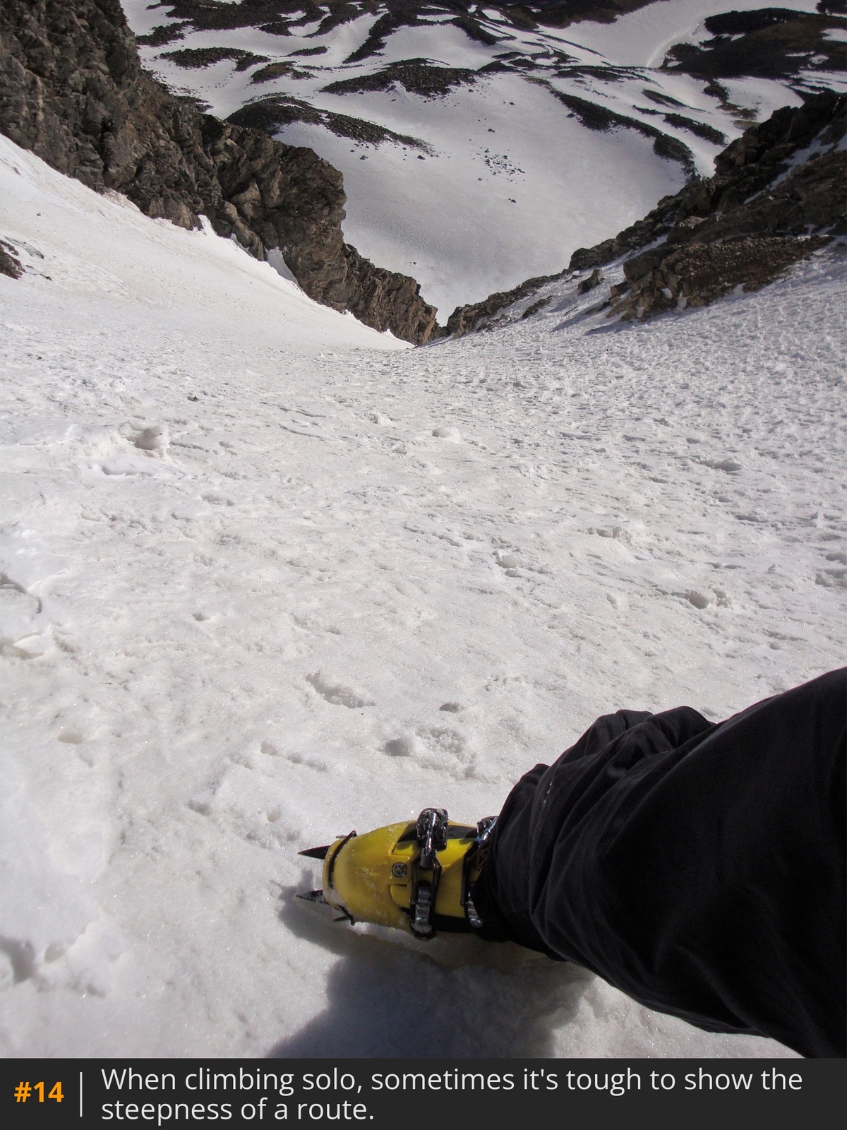
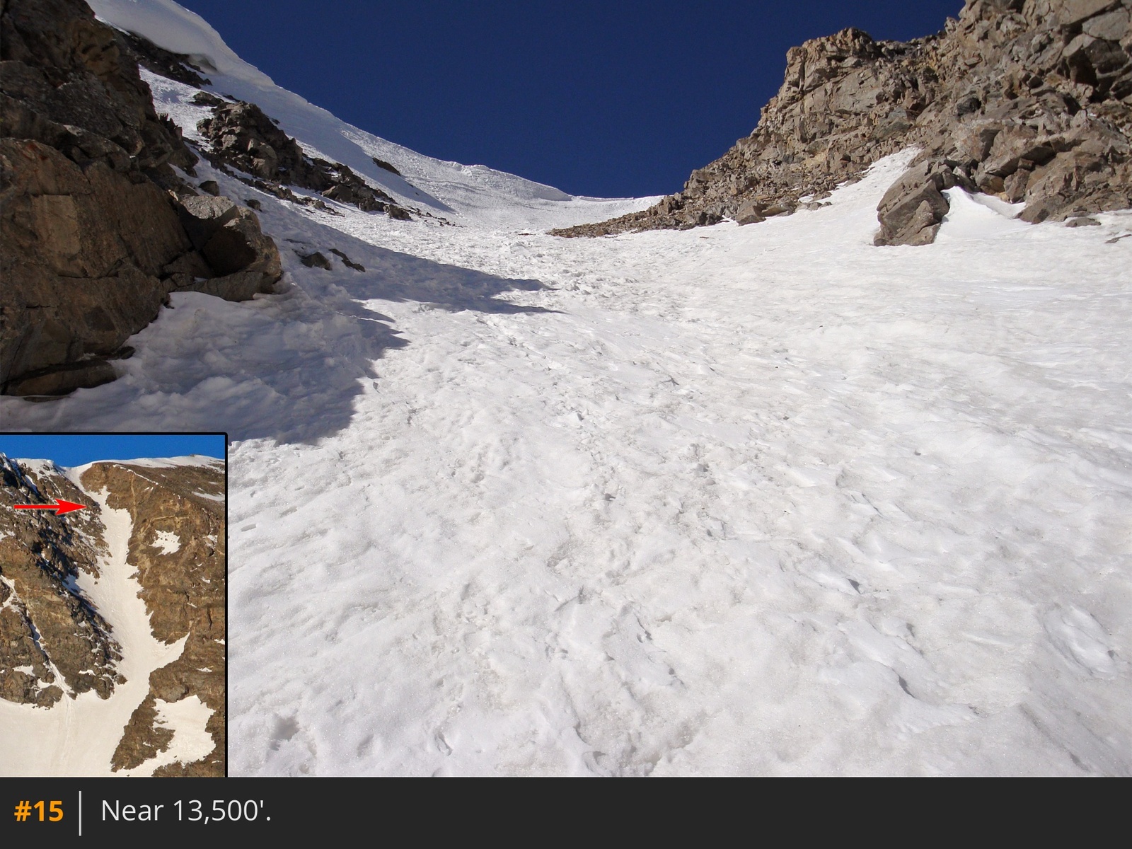
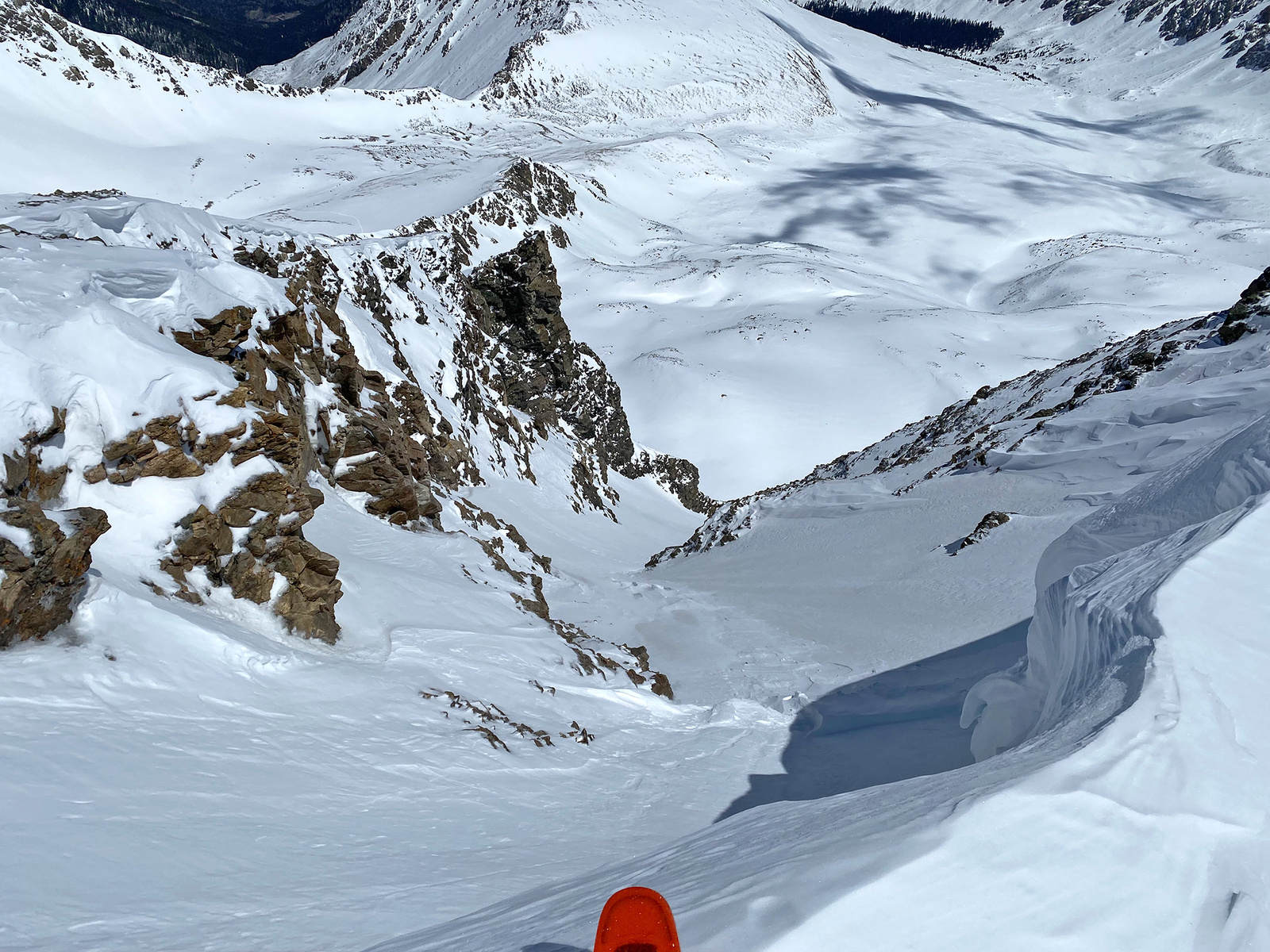
12 13 14. Near 13,500', the couloir turns slightly left as you pass through the narrowest section
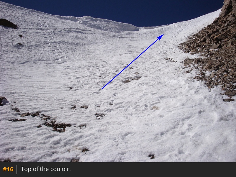
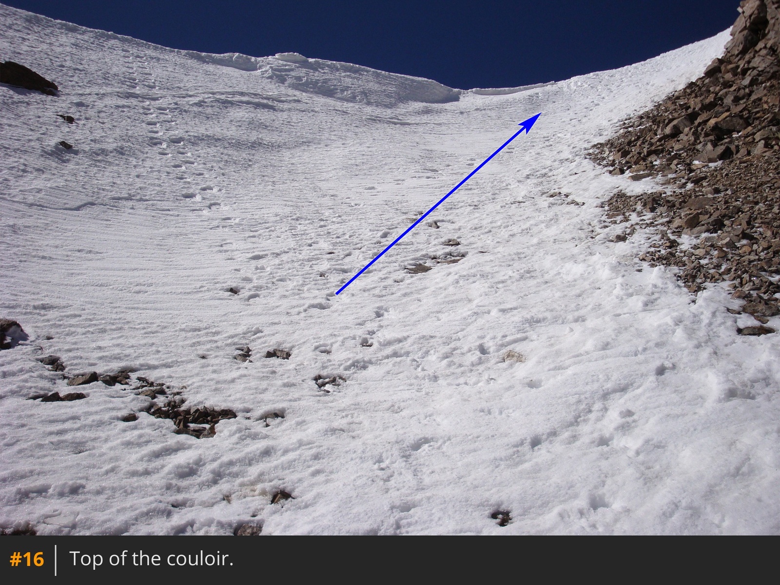
15. Climb the last 100 feet to reach the top of Lost Rat
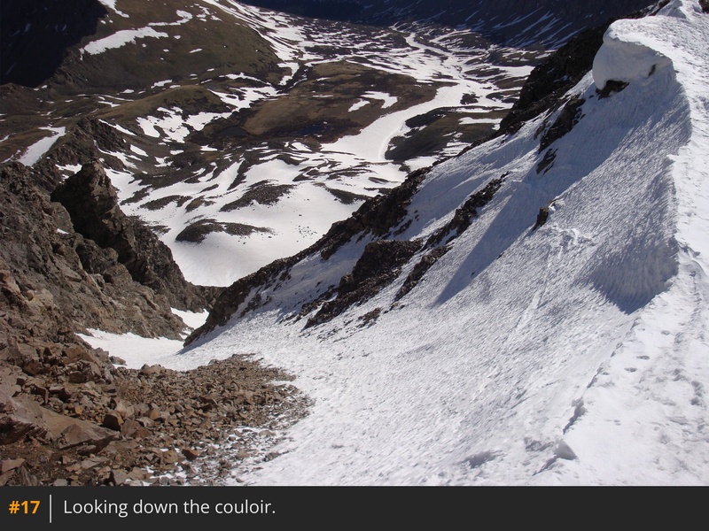
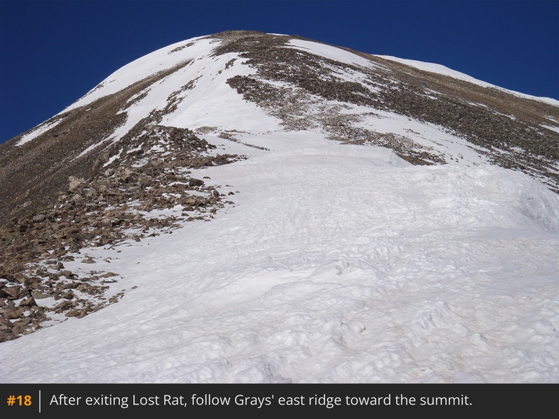
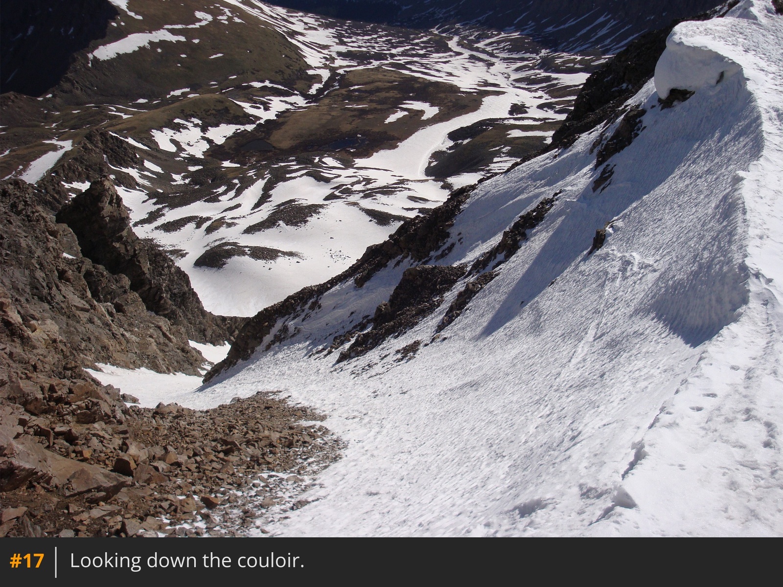
16 17. Turn right (west) to see the remaining 700 feet up Grays' east ridge
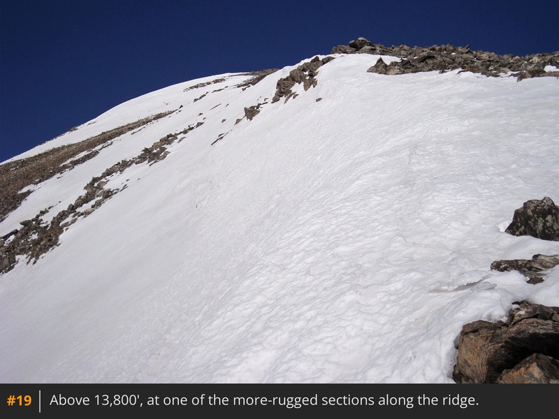
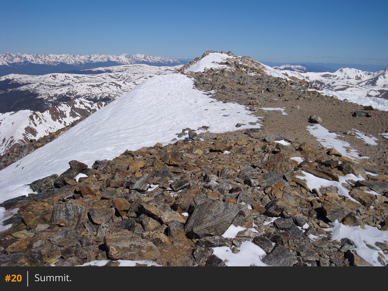
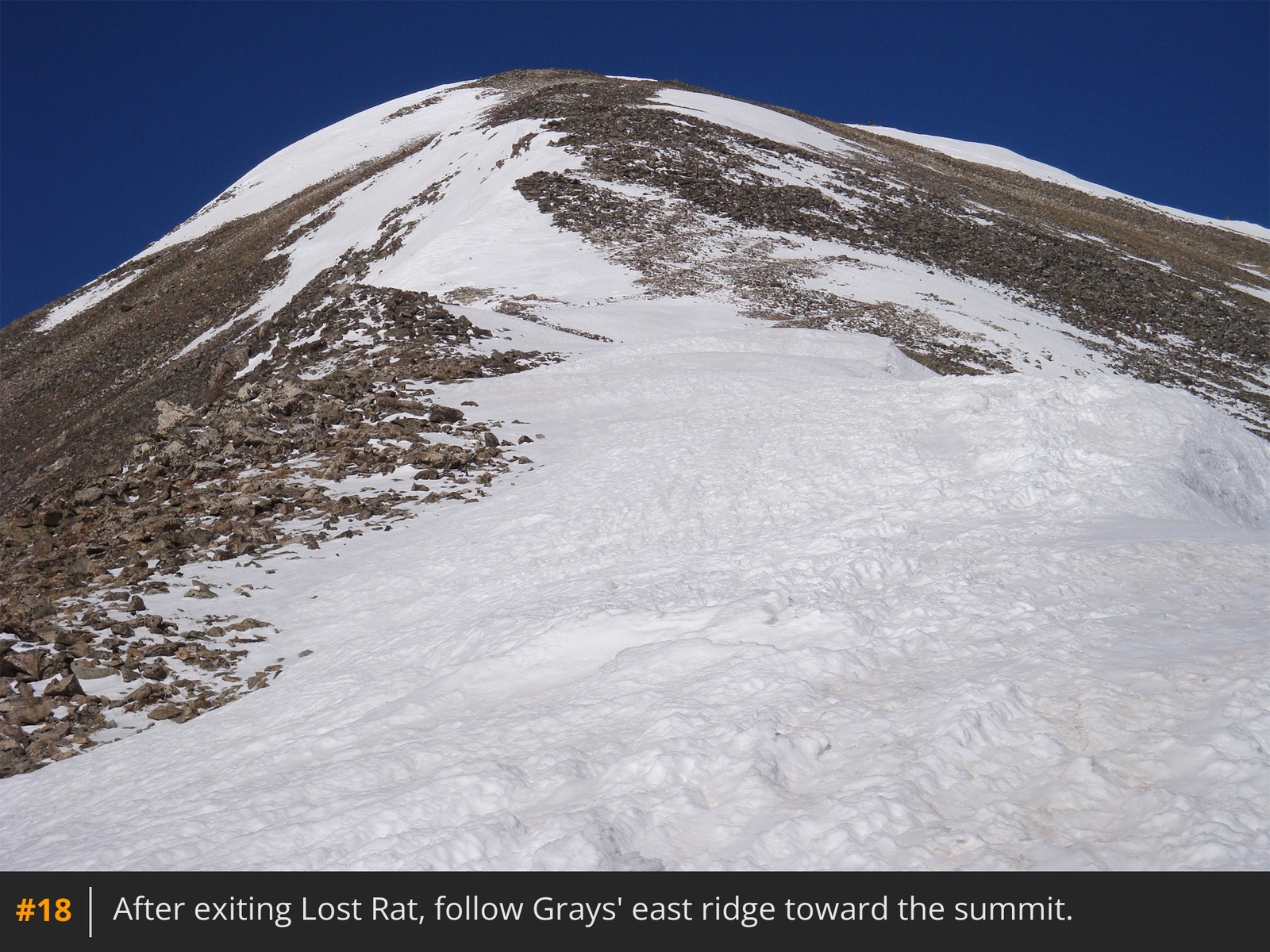
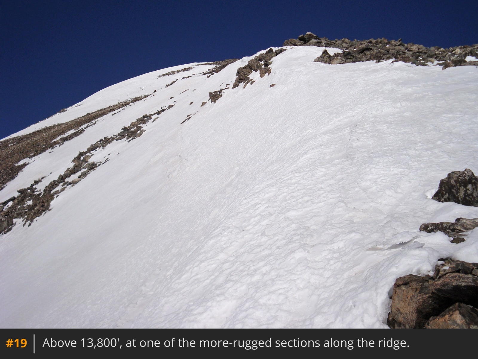
18. Follow the ridge to the summit
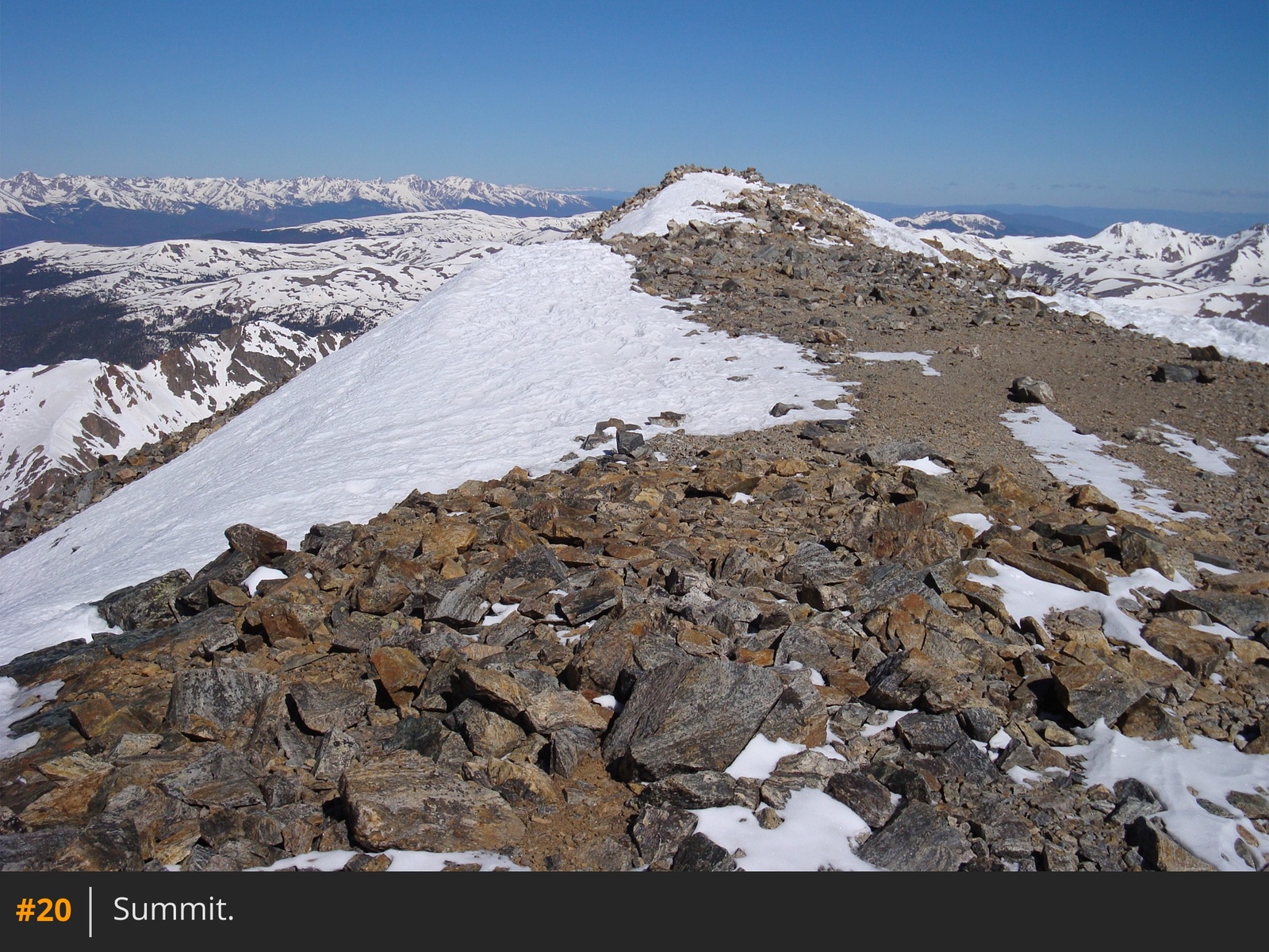
19 20.




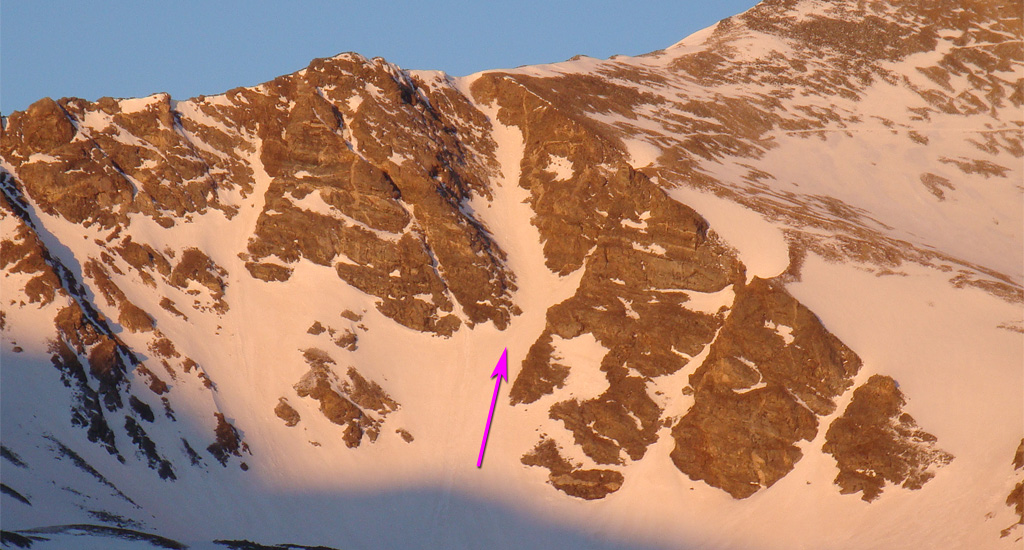
 Lost Rat Couloir


 GPX
GPX KML
KML