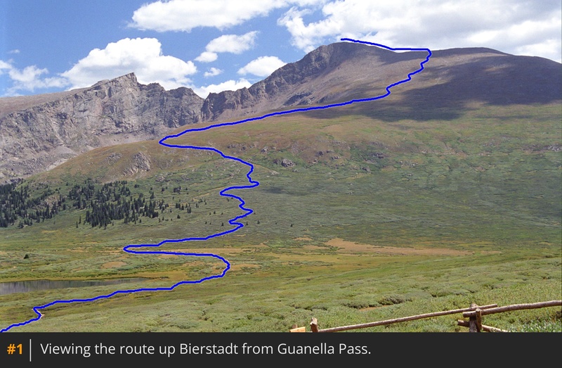
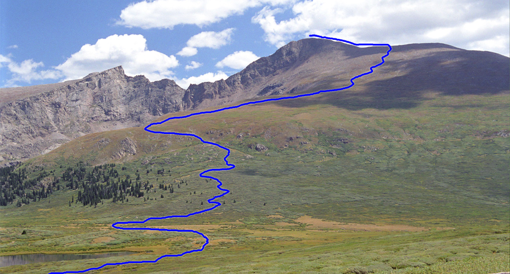
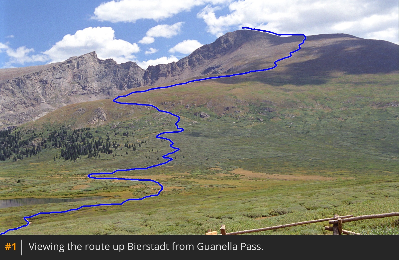
Taken from Guanella Pass,
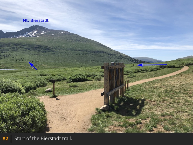
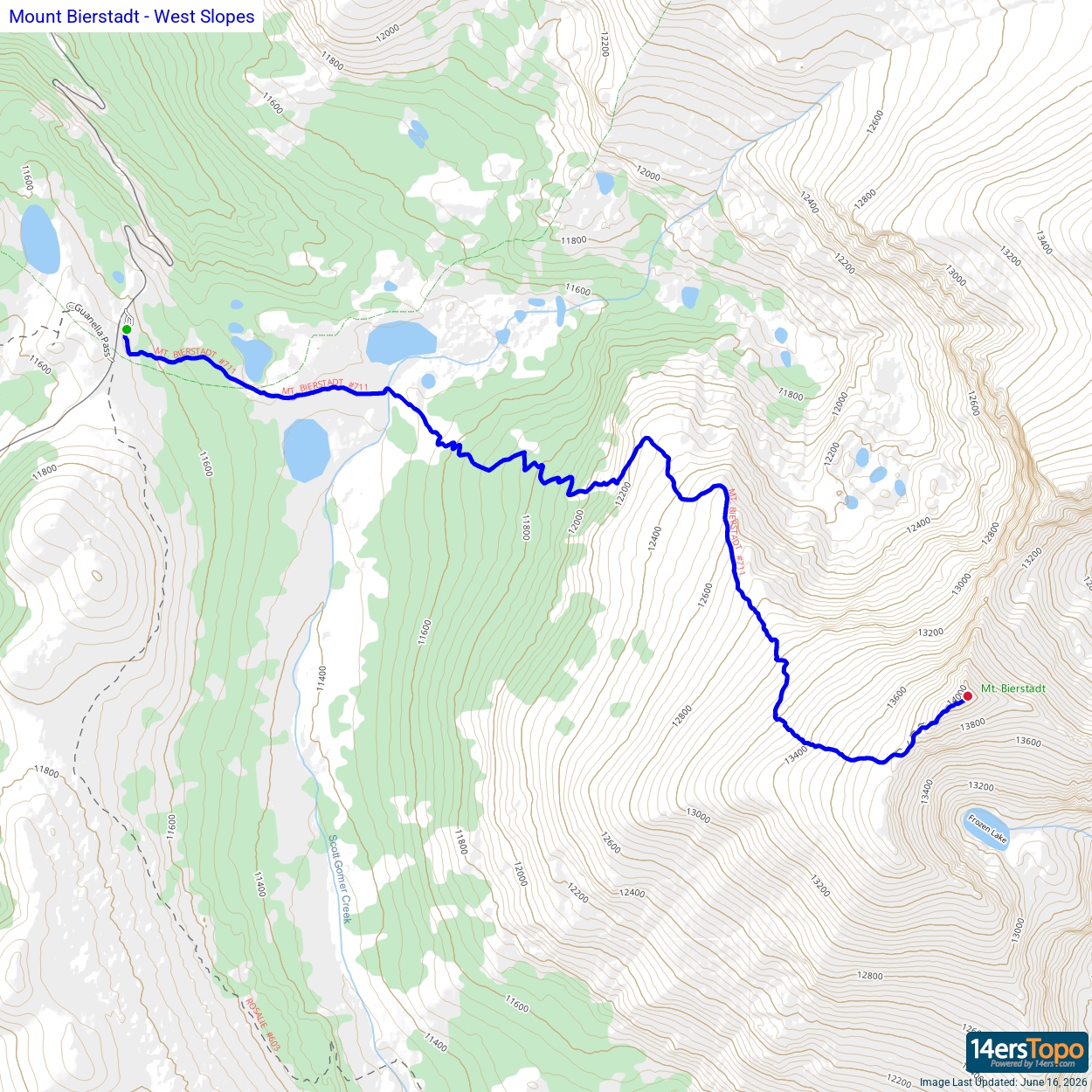
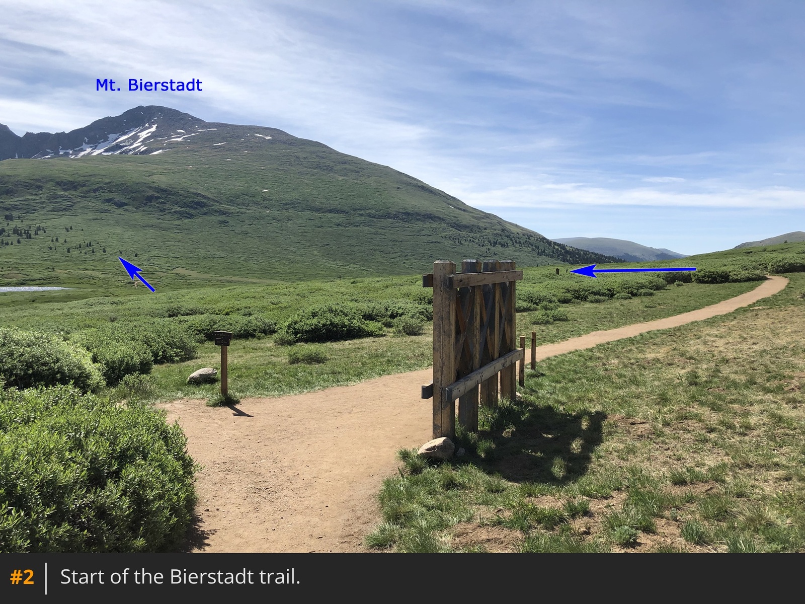
1 provides an overview of the route. Locate the Bierstadt Trail and begin by descending east toward Scott Gomer Creek
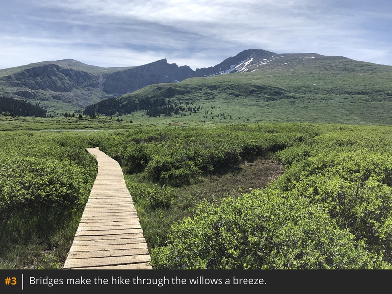
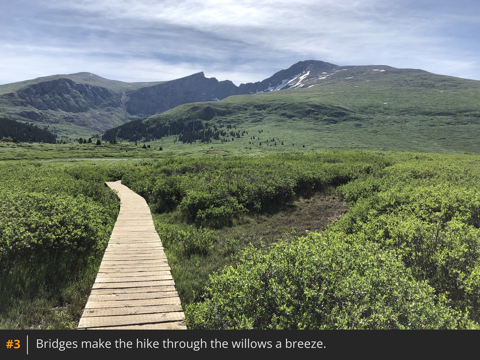
2. Navigate through willows on wooden bridges and trail sections for nearly a mile
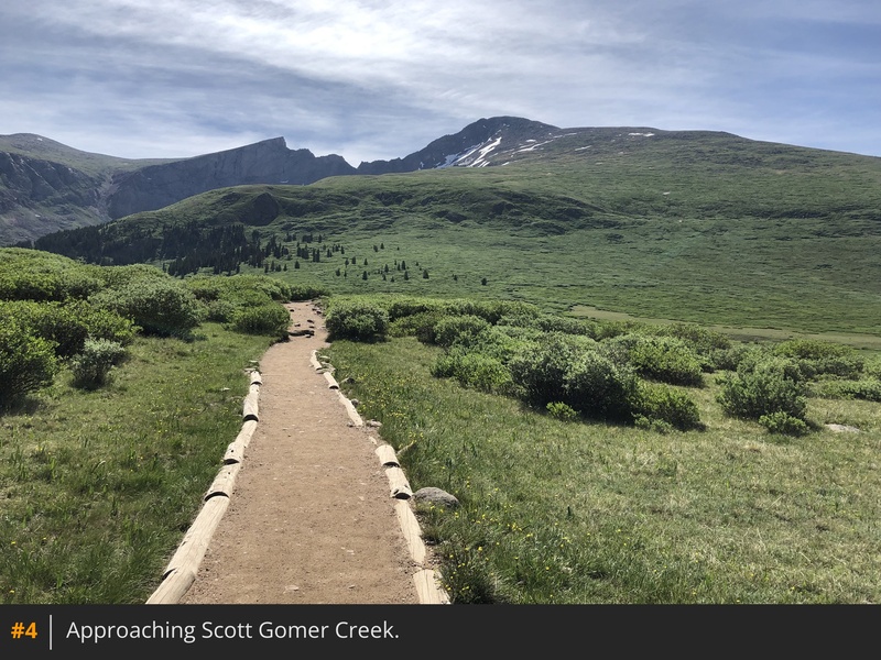
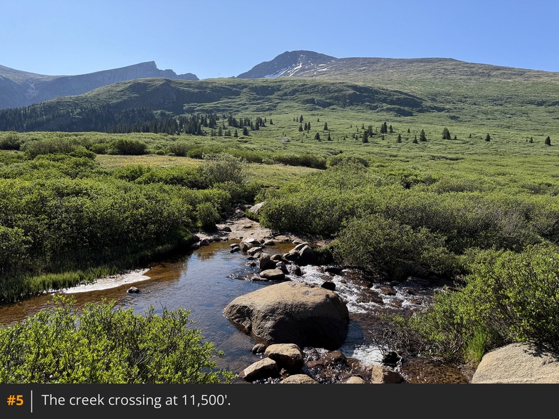
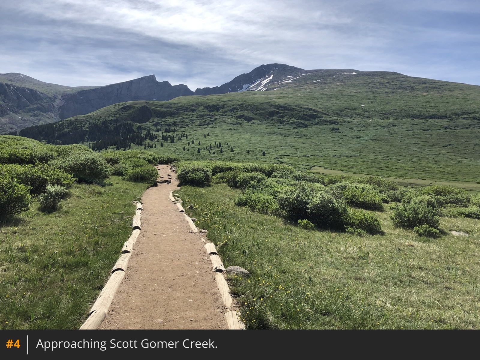
3 4 to reach the creek
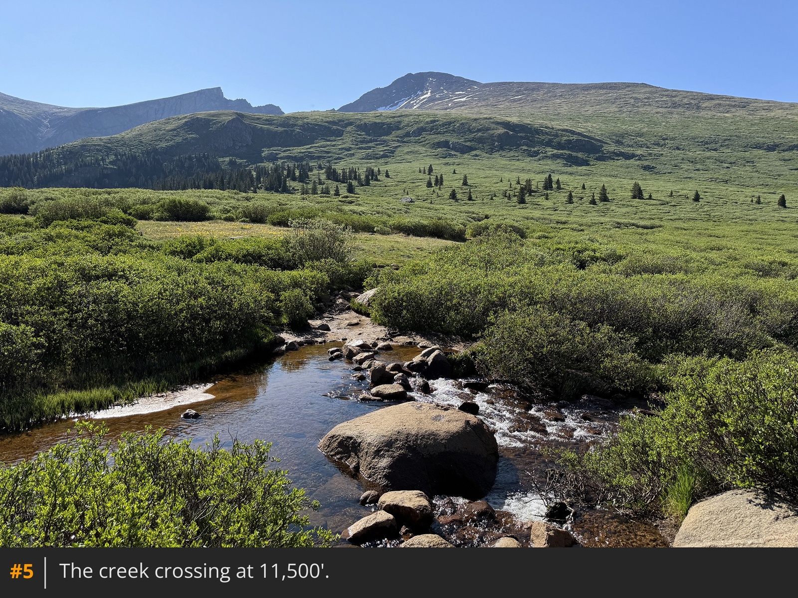
, near 11,500'
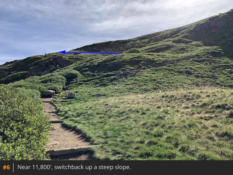
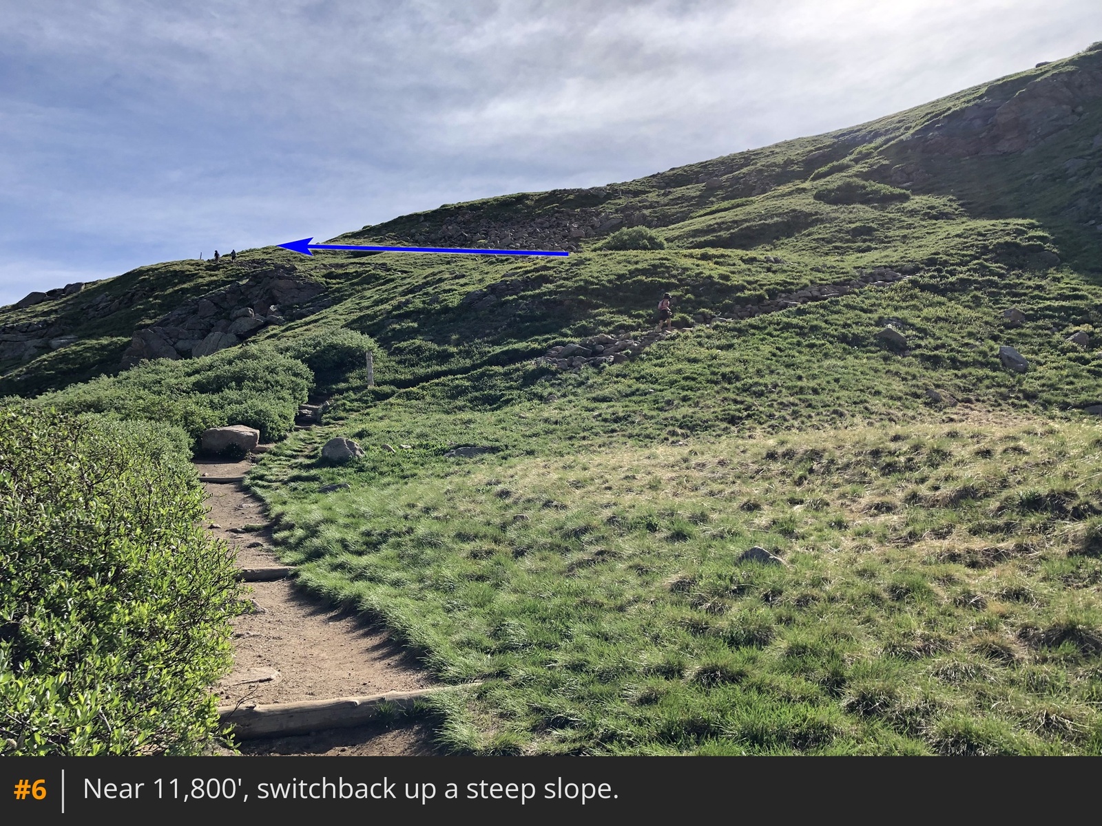
5. Cross the creek and continue through the willows as you approach Bierstadt's west slopes. Near 11,800', switchback up a steep slope and exit the willows
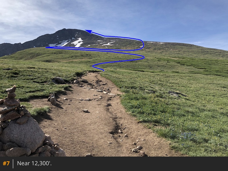
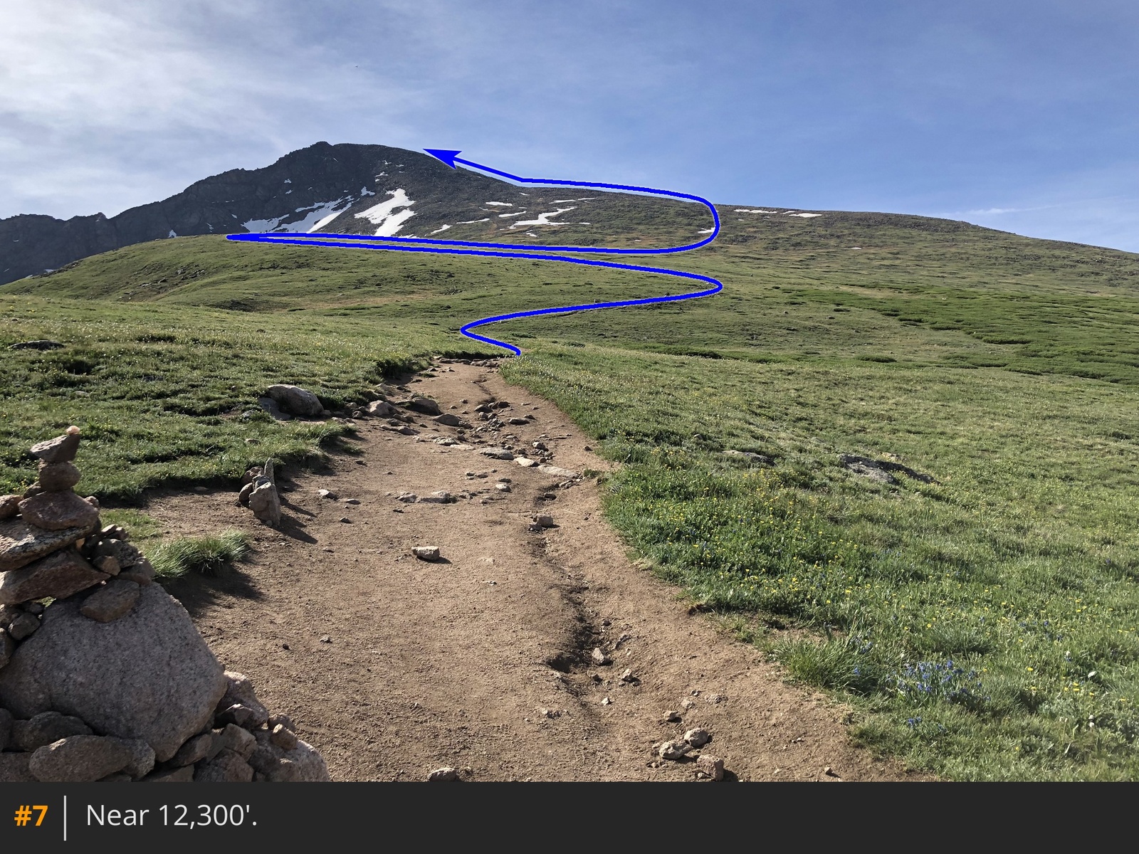
6. You'll then reach flatter terrain, near 12,300', on the north end of a shoulder
.
With the remainder of the route now in view, hike southeast up the shoulder
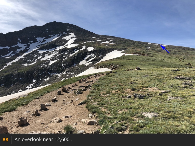
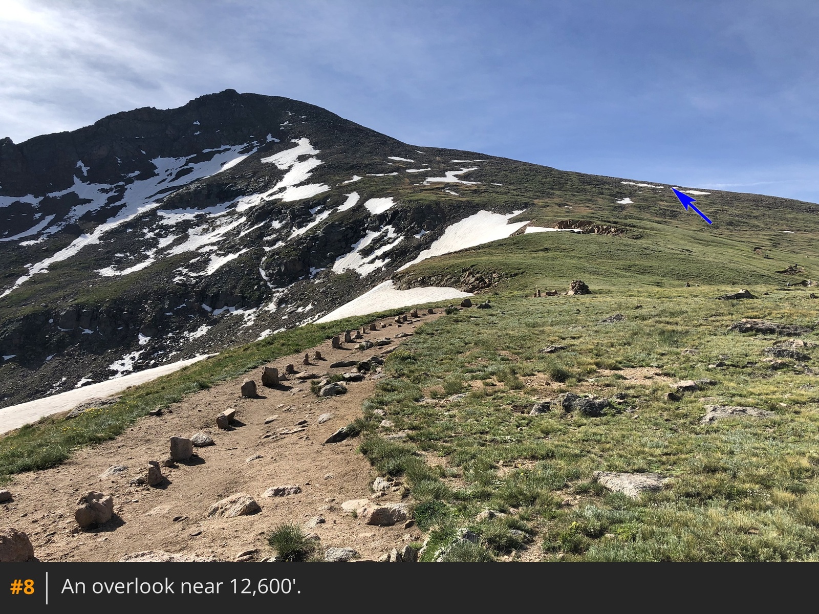
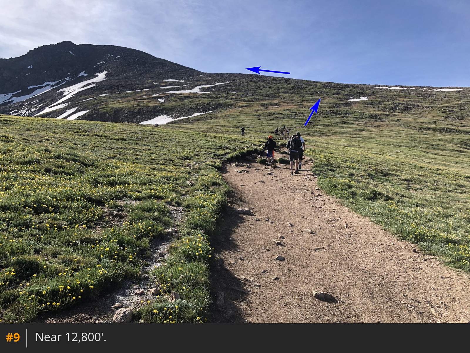
7. Pass an overlook at 12,600' and continue higher
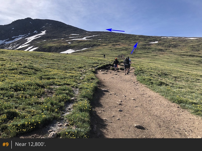
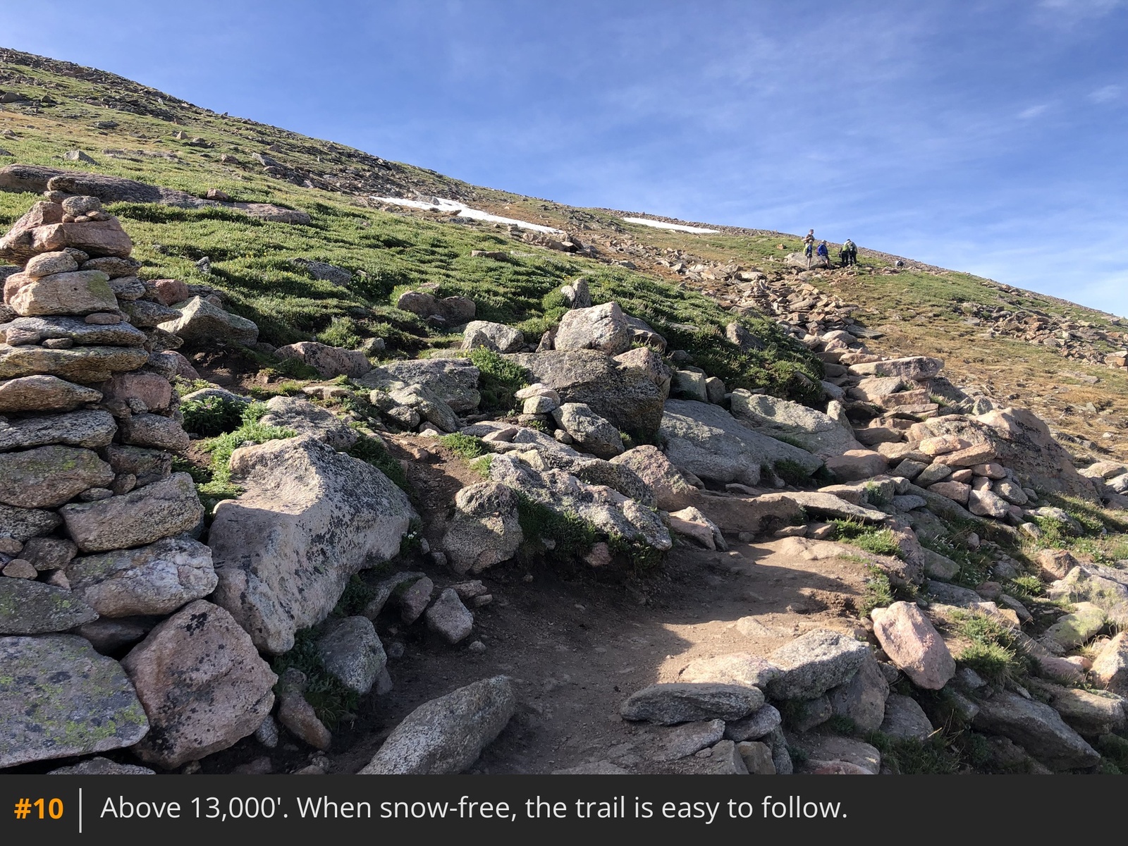
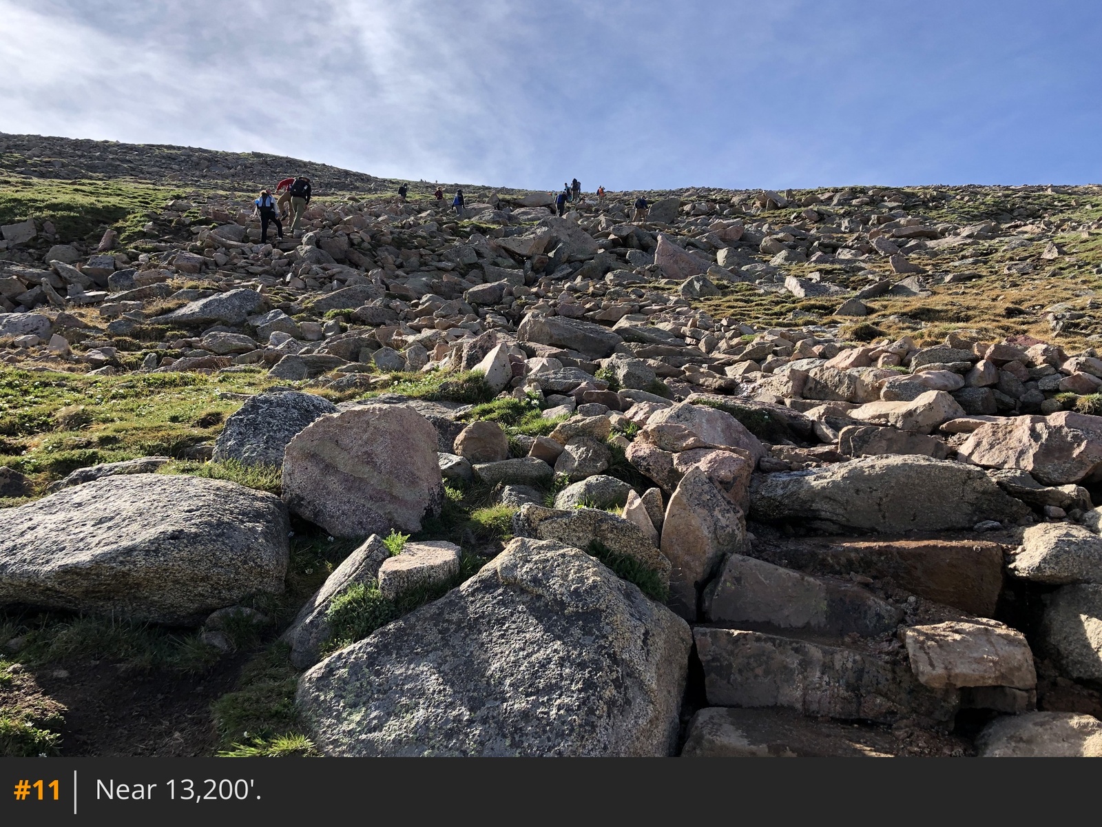
8 9. Around 13,000', the terrain becomes noticeably steeper
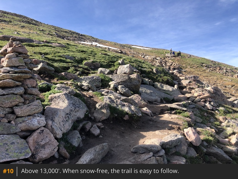
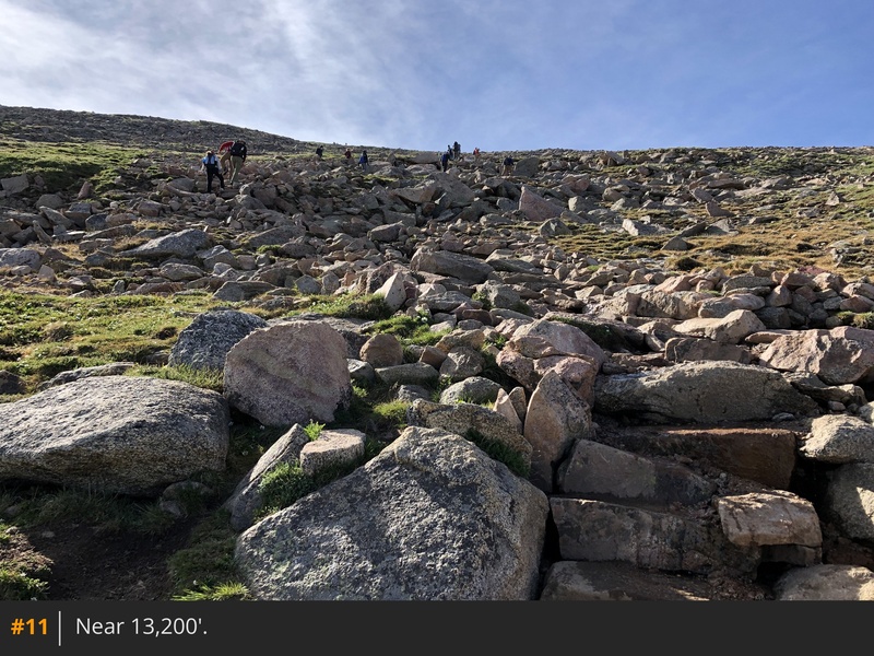
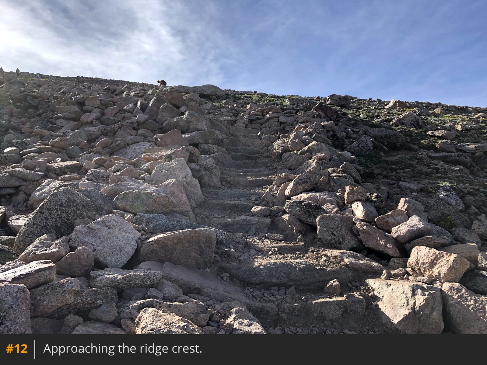
10. Follow the well-defined trail
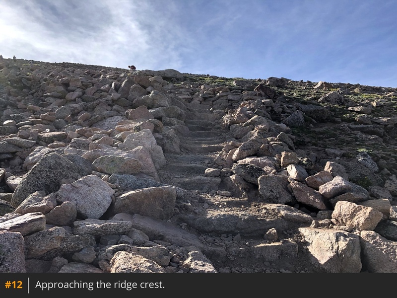
11 12 and zigzag your way up to a ridge
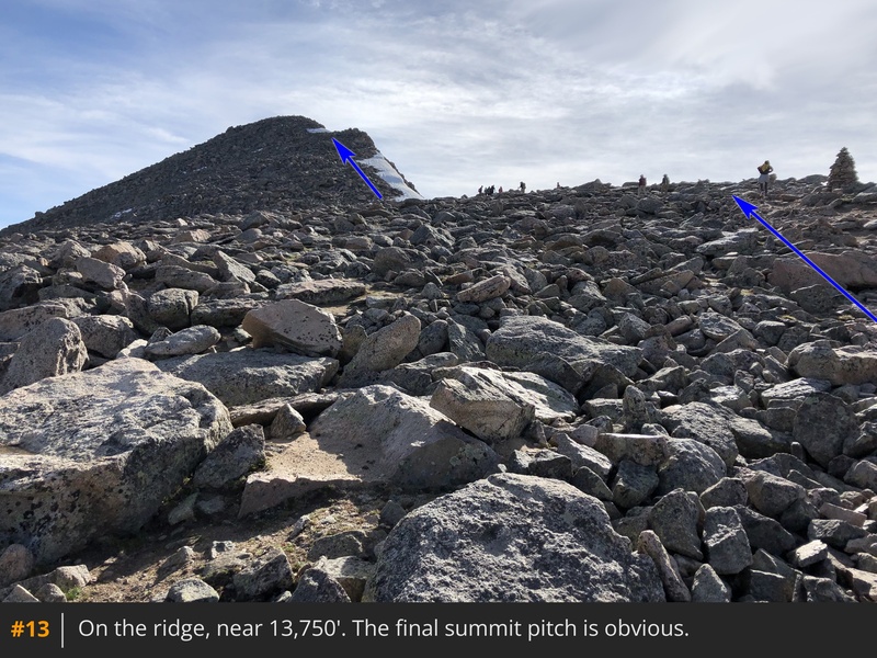
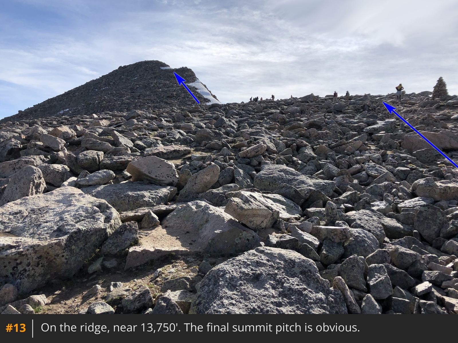
crest, at approximately 13,750'
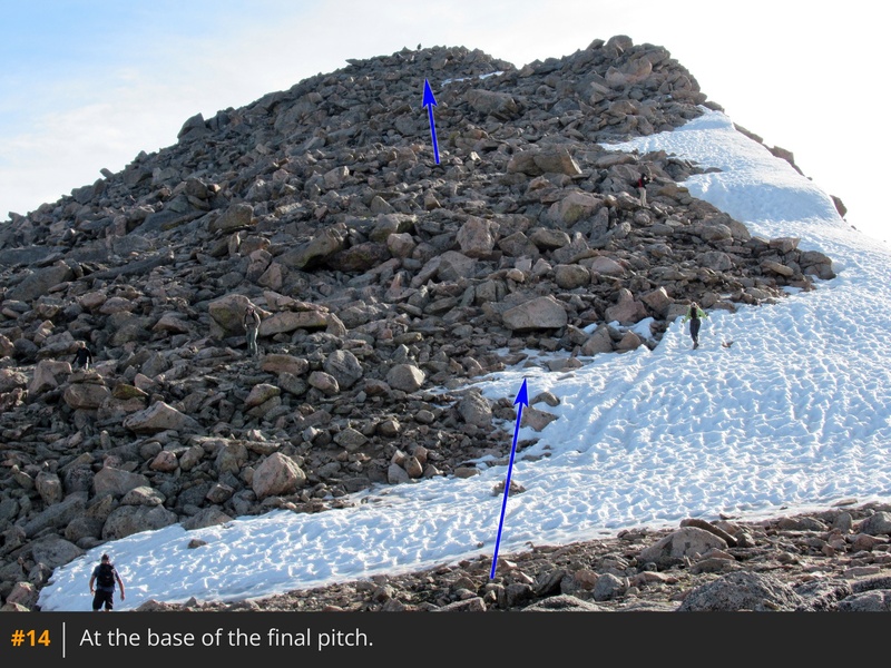
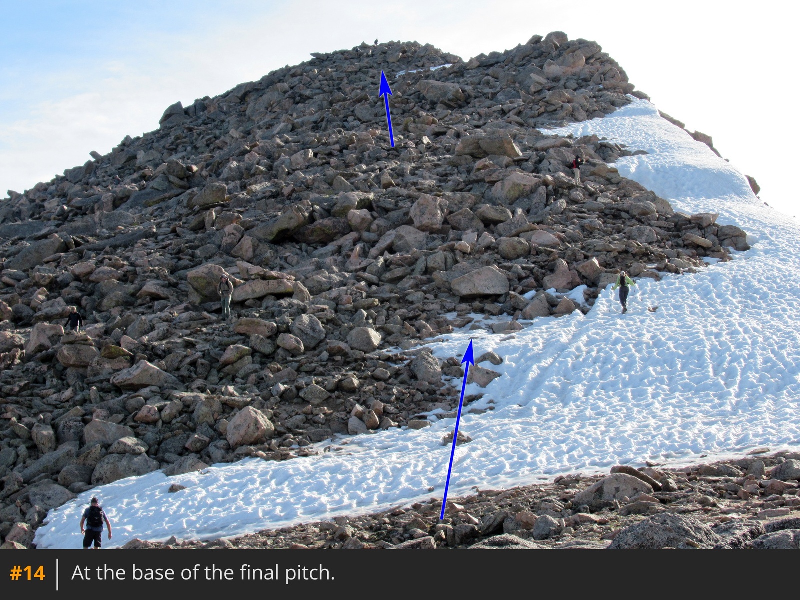
13. Walk northeast to the base of the final pitch
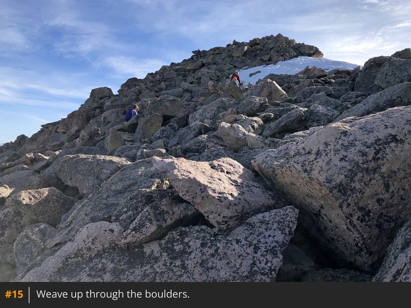
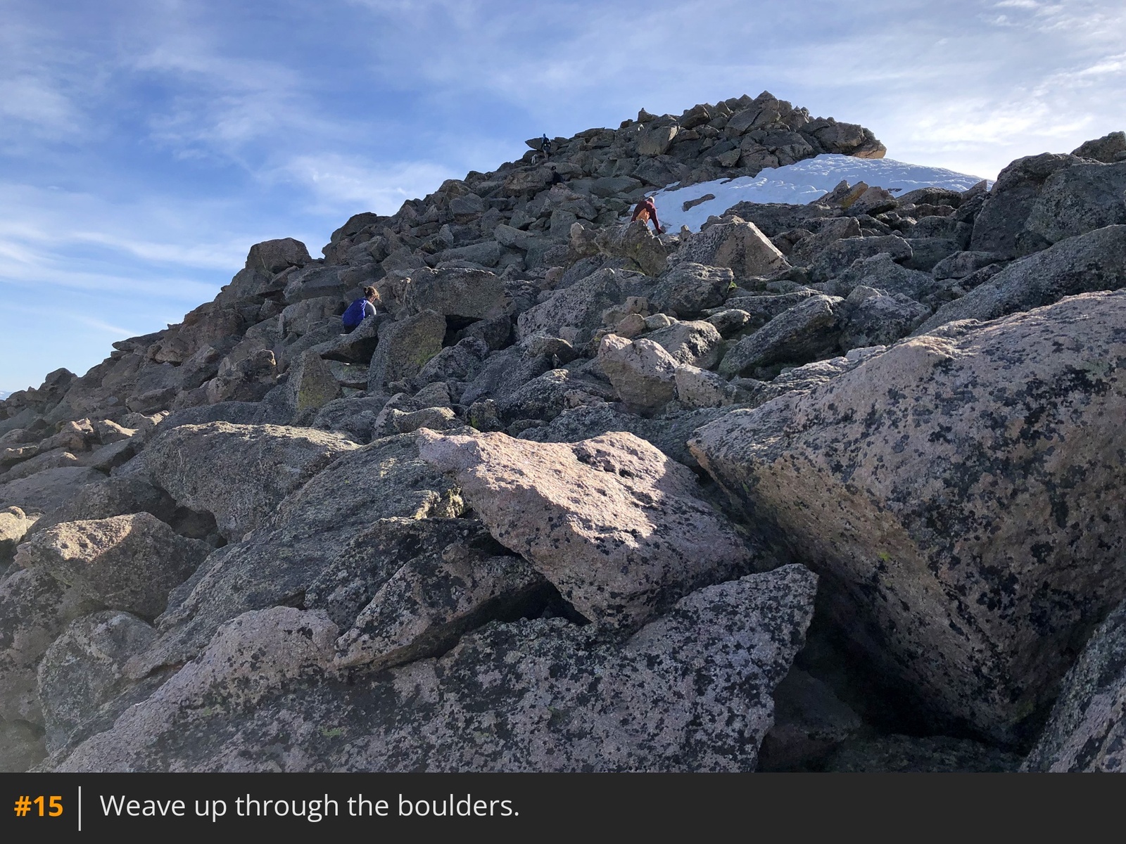
14. While the summit may not yet be visible, only 250 feet of elevation gain remains. This final section is the crux of the route and the reason it earns a Class 2 difficulty rating. Without a trail, navigate your way through the boulders, staying on or just left of the ridge crest
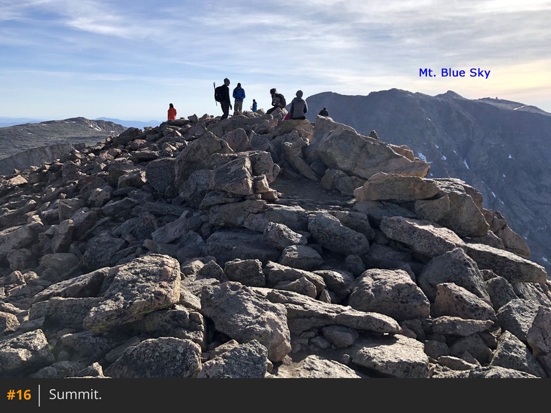
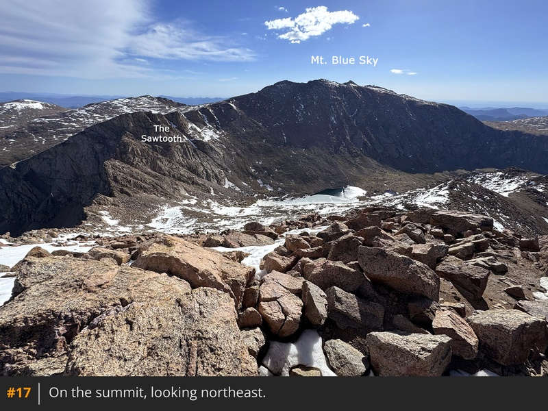
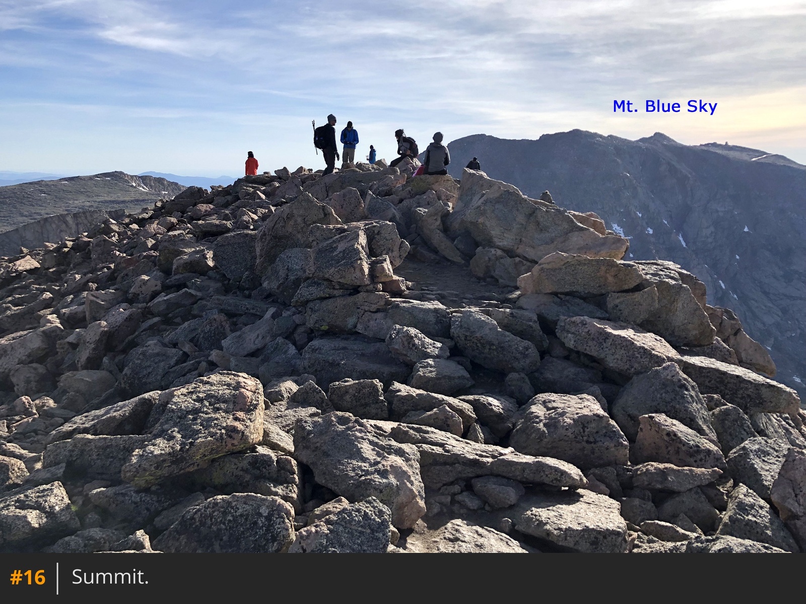
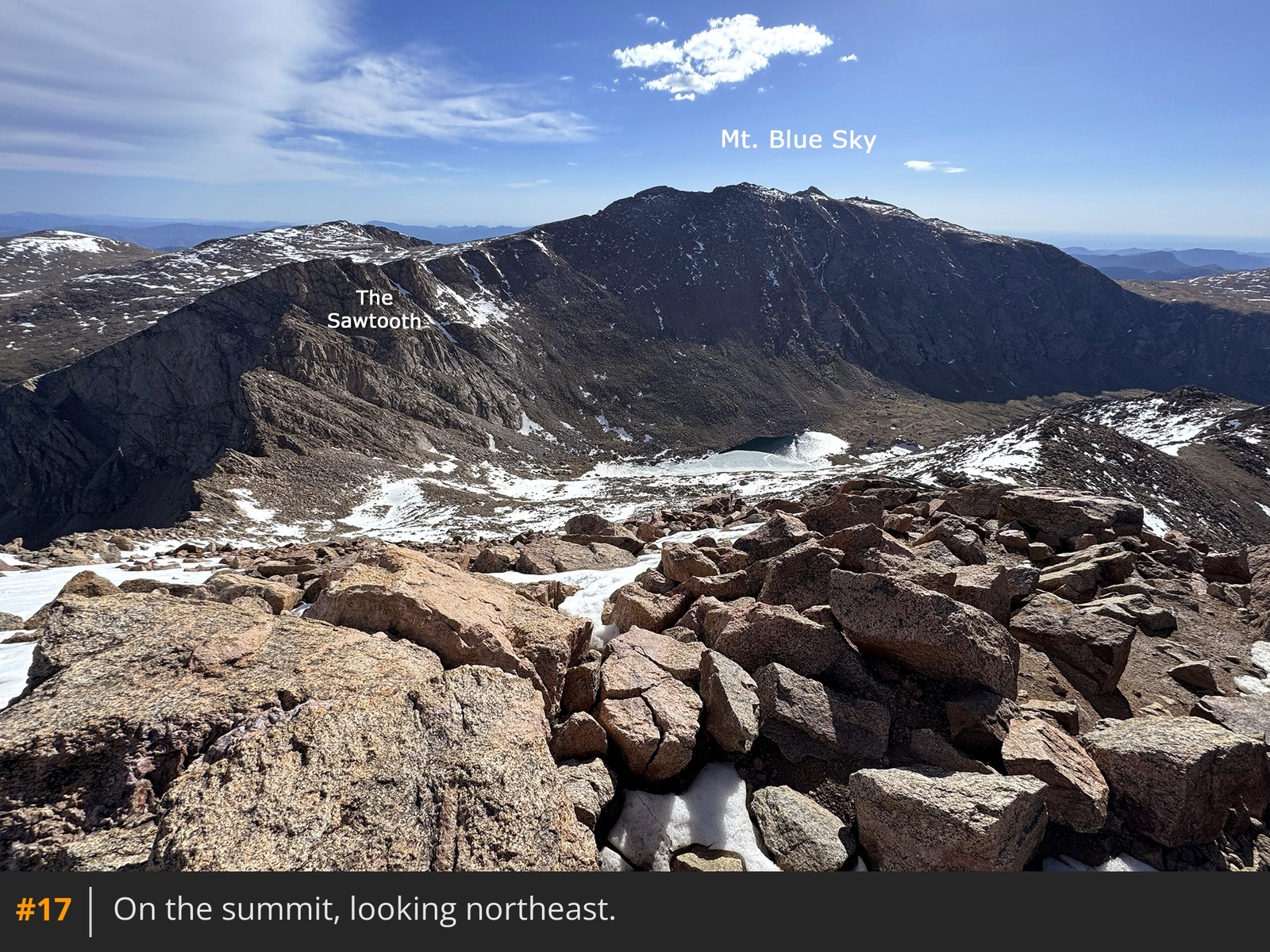
15. When the terrain eases, walk a short distance further to reach the summit
16 17.





 GPX
GPX KML
KML