Download Agreement, Release, and Acknowledgement of Risk:
You (the person requesting this file download) fully understand mountain climbing ("Activity") involves risks and dangers of serious bodily injury, including permanent disability, paralysis, and death ("Risks") and you fully accept and assume all such risks and all responsibility for losses, costs, and damages you incur as a result of your participation in this Activity.
You acknowledge that information in the file you have chosen to download may not be accurate and may contain errors. You agree to assume all risks when using this information and agree to release and discharge 14ers.com, 14ers Inc. and the author(s) of such information (collectively, the "Released Parties").
You hereby discharge the Released Parties from all damages, actions, claims and liabilities of any nature, specifically including, but not limited to, damages, actions, claims and liabilities arising from or related to the negligence of the Released Parties. You further agree to indemnify, hold harmless and defend 14ers.com, 14ers Inc. and each of the other Released Parties from and against any loss, damage, liability and expense, including costs and attorney fees, incurred by 14ers.com, 14ers Inc. or any of the other Released Parties as a result of you using information provided on the 14ers.com or 14ers Inc. websites.
You have read this agreement, fully understand its terms and intend it to be a complete and unconditional release of all liability to the greatest extent allowed by law and agree that if any portion of this agreement is held to be invalid the balance, notwithstanding, shall continue in full force and effect.
By clicking "OK" you agree to these terms. If you DO NOT agree, click "Cancel"...
Weminuche: wem-ih-NOO-chee
From the name of a Ute band, but the actual meaning of the word is unknown. Name given to a creek and a Wilderness Area within the Rio Grande and San Juan national forests.
--------------------------------------------------------------------------------
I find it fitting that the actual meaning is unknown. This was my first trip to the east side of the Weminuche and I felt like I was stepping into the unknown. I've never felt such an overwhelming sense of solitude in my life. It's was incredible. I just wish it wasn't so far away. Hmmm. I guess you can't get one without the other.
I set off on Friday morning from the Springs with the expectation of having to hike the last 5-6 miles of the Rio Grande Reservoir Road to reach the Thirty Mile Campground before even starting the real work. My plan was to hike to camp on Friday, climb on Saturday, and pack out on Sunday. The reason I thought this was because when I called the well-informed people at the Forest Service office in Creede, they told me the gate was still closed and it usually didn't open until the end of May. I'd like to thank the USFS Office in Creede for not knowing what they're talking about. It was a great surprise when I found the road completely dry and open all the way to the trailhead...and it wasn't even my birfday.
I did see a few car tracks...maybe from the Dam caretaker. From that point on, the only sign of human existence was the faint ski tracks from the 2 guys that were here back in March. The last people to sign the trail register were Bob and Betty Barnes from Westminster, Oct. 29-31. With the bullsh*t from work piling up and closing in, this was exactly the kind of trip I was craving.
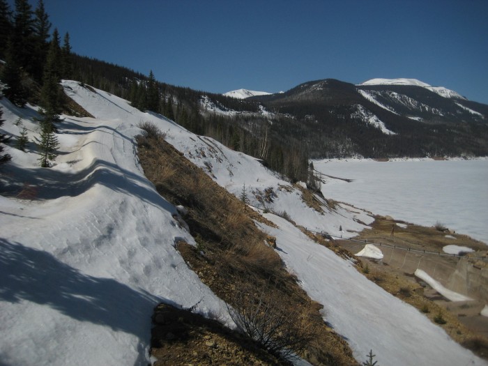
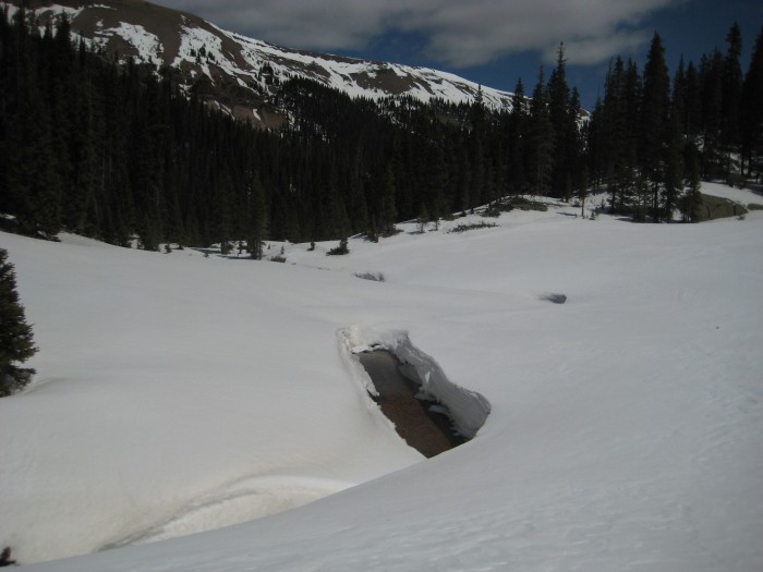
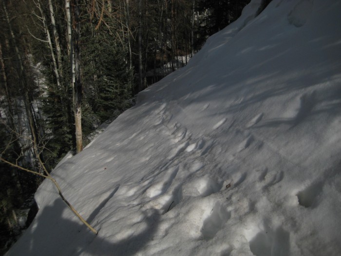
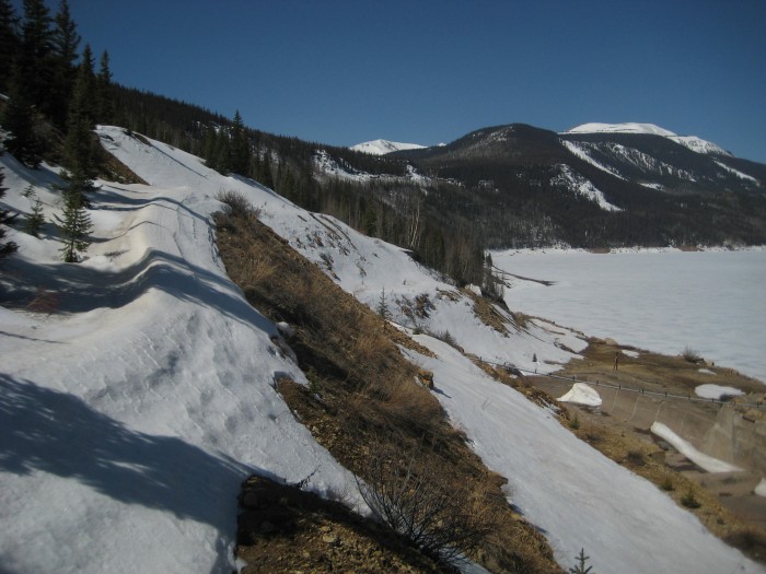
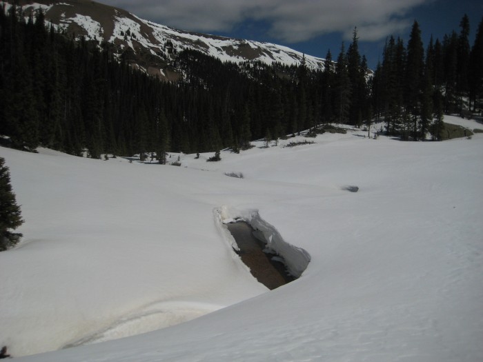
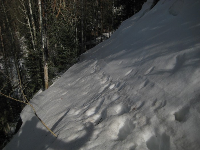
I hate to bring up anything negative about my experience, but it wouldn't be right to not warn you about the trail along the side of the resevoir. Because of the snow, the sidehilling effort on this part of the trail was annoying and frustrating on the way the way in. That was at 10am when the snow was nice and firm. On the way out, when the snow was crap, it was extremely painful. I don't think I've ever cursed that much in such a short period. Good thing there was no one there to hear me. I was thinking it was like playing the best 17 holes of your life only to blow up on the last. It was hard to get that 18th hole out of my mind.
My advice...deal with it. The only other option that I could see would be to climb down to the resevoir and walk along the shore until you get to the outlet of Weminuche Creek. The problem is that the hill back up to the trail from the resevoir at this point would be steep with deep snow. Take your pick.
Pictures:
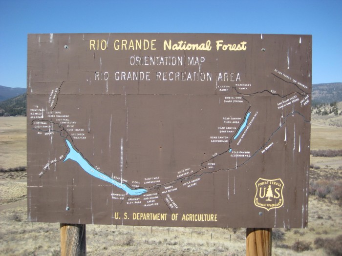
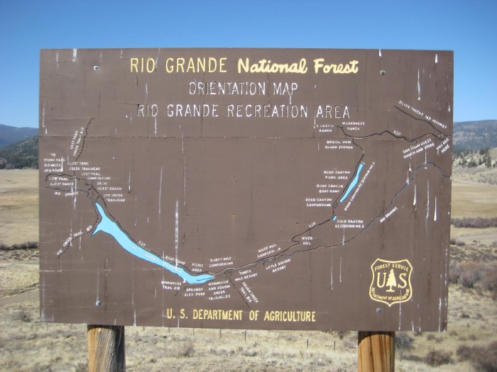
Sign at the start of the Rio Grande Reservoir Road...the gate is at the end of the Road Canyon Reservoir
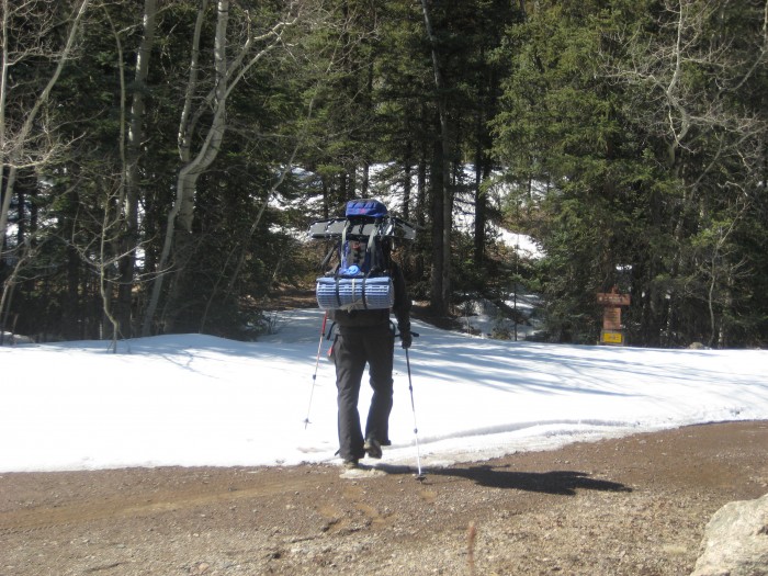
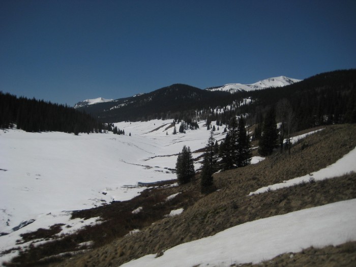
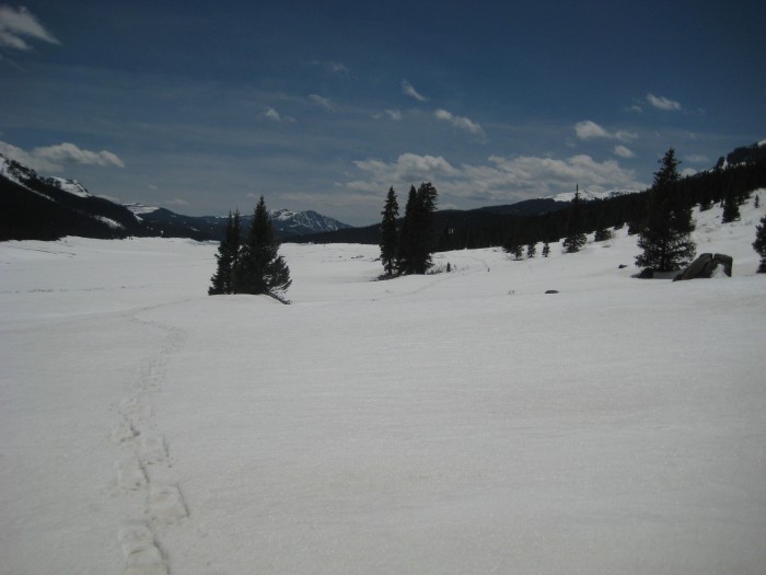
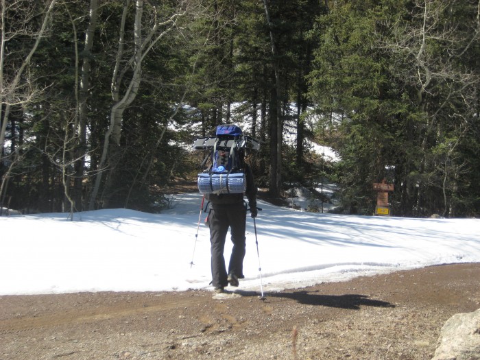
Start of the Weminuche trail
Let the fun begin
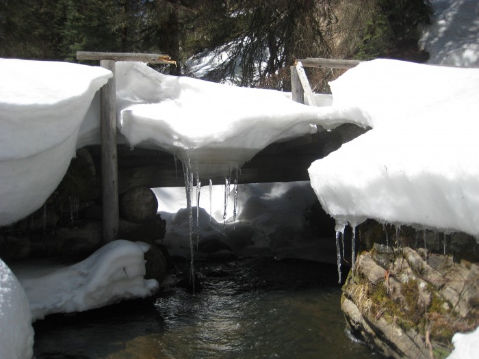
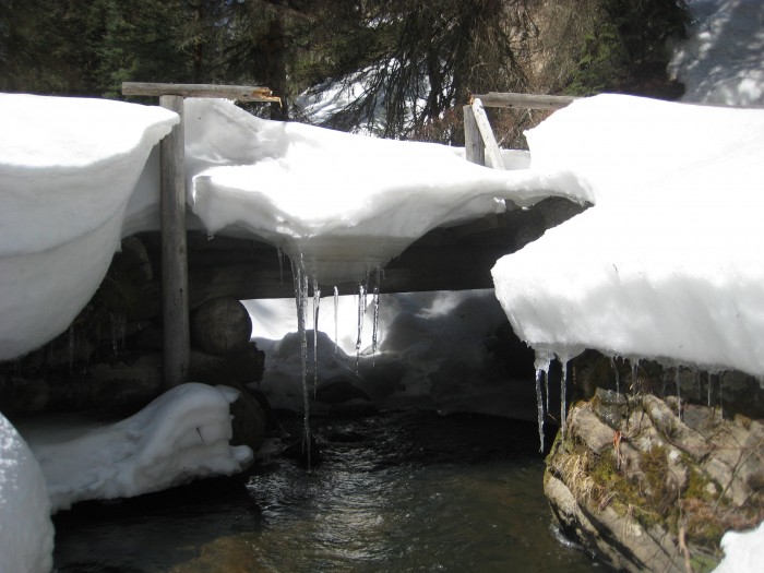
This bridge crosses over to the west side of the creek
Wem-ih-NOO-chee
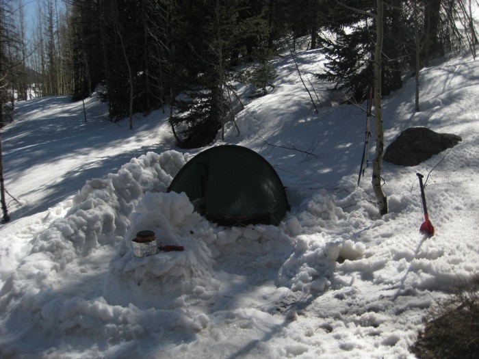
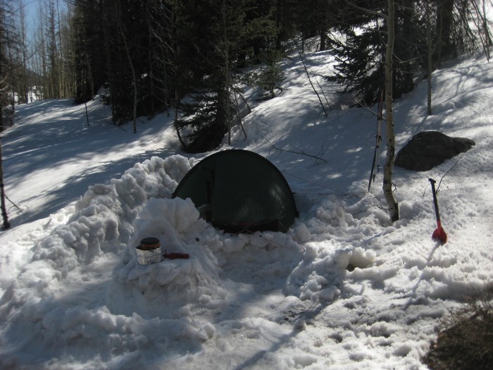
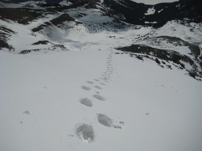
I used my unexpected extra time to constuct a comfortable campsite and break some trail for the next day
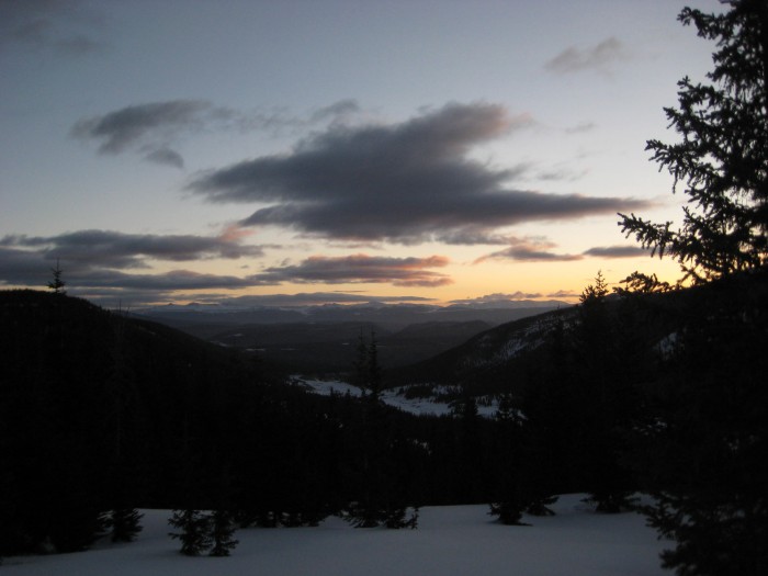
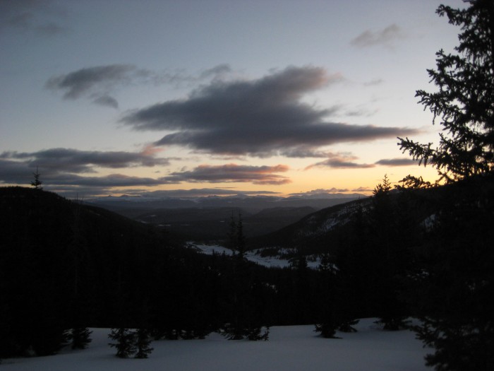
First light over the La Garitas (isn't that like saying "the the" or "la la"?)
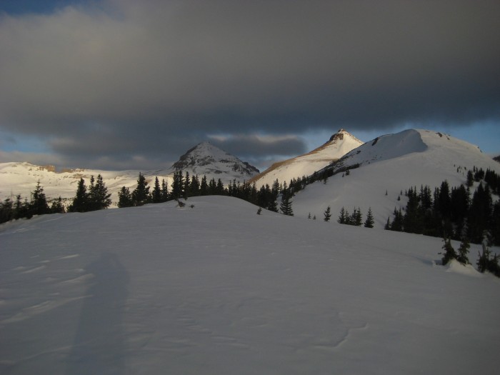
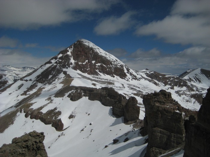
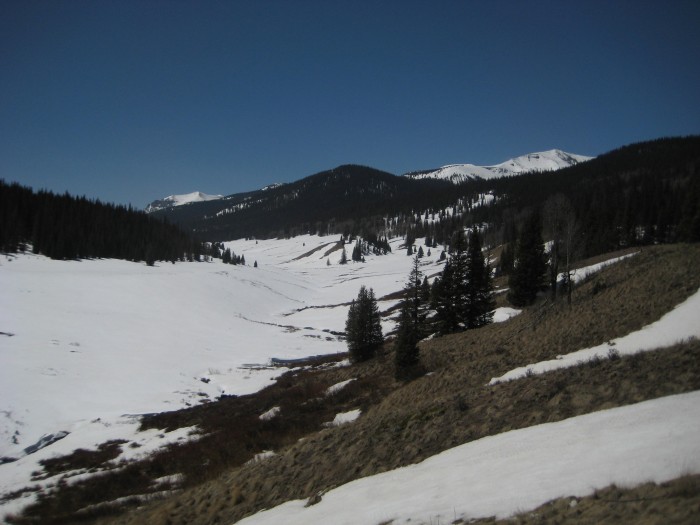
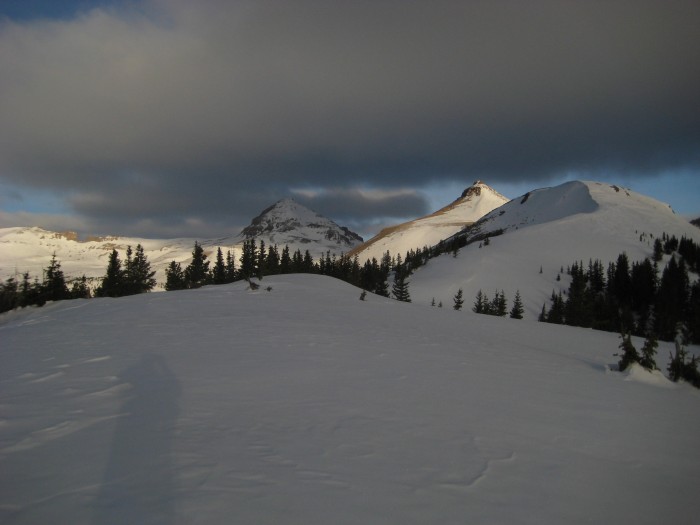
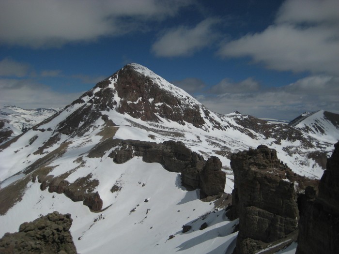
As I crested this hill, I was greeted to my first view of Window Peak, the Window, Rio Grande Pyramid, and Point 12,724
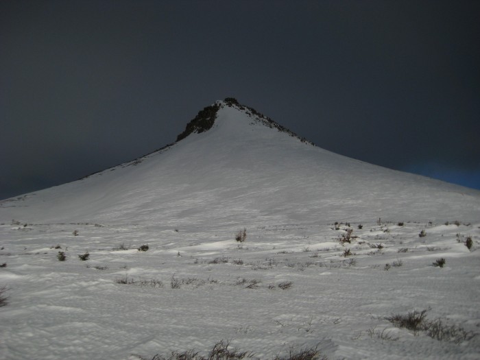
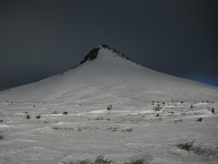
Pt. 12,724
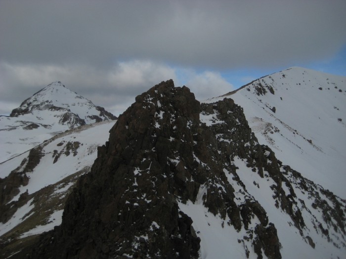
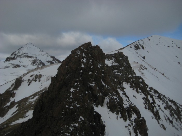
Some fun scrambling over to Pt. 13,278 (seen in the far right)
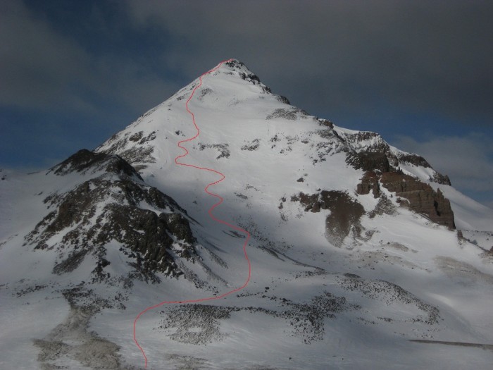
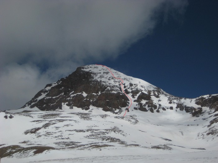
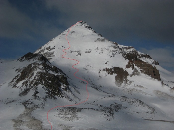
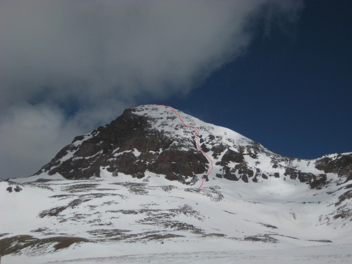
View of my route up the northeast face of the Pyramid from Pt. 13,278
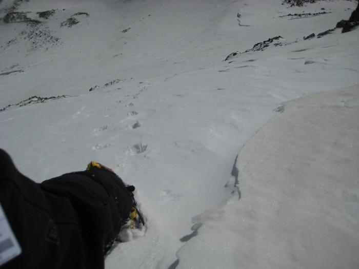
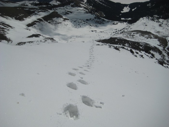
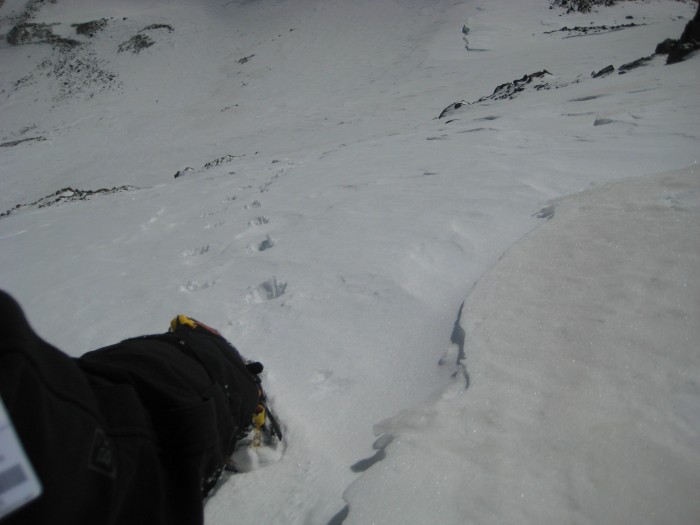
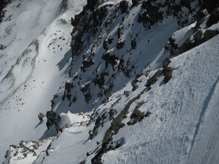
Looking back down the face
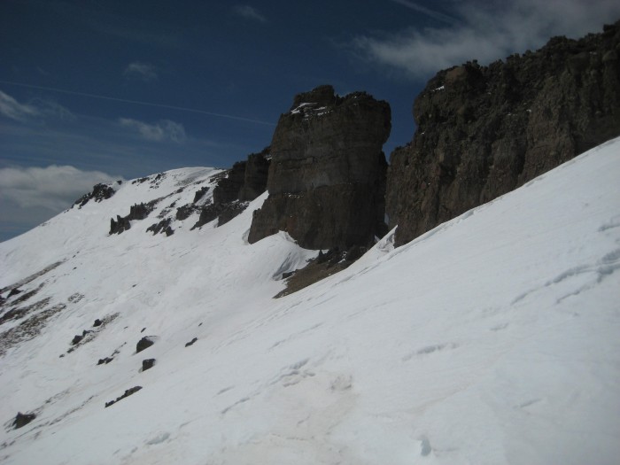
Final steps up the east ridge
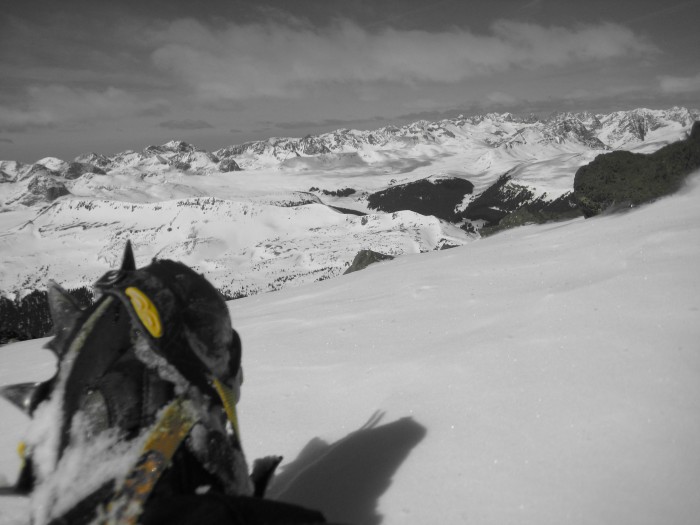
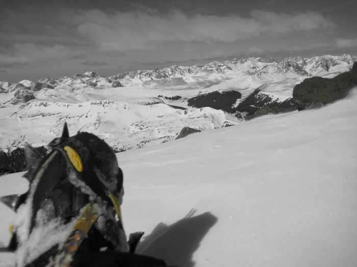
I took some time to admire the view...
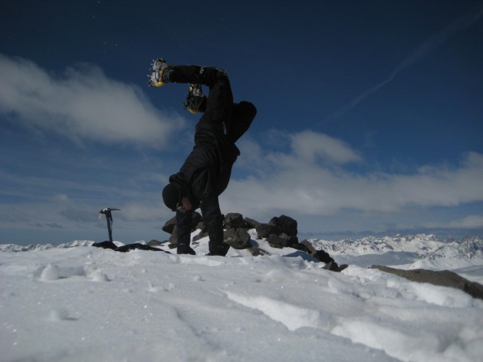
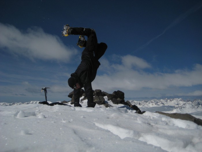
and do a handstand
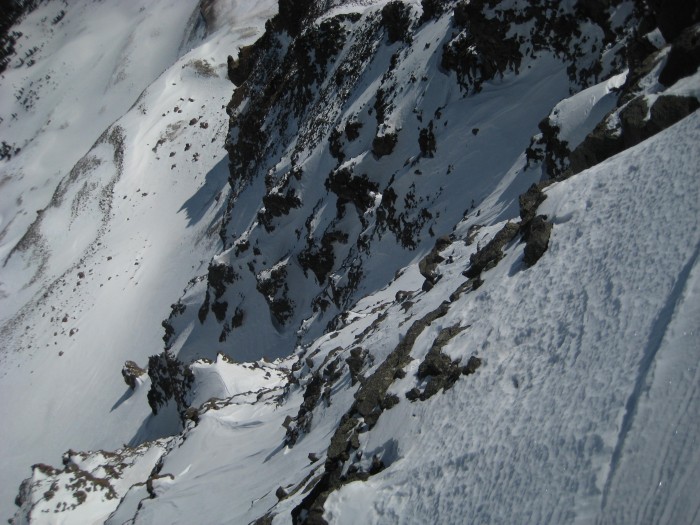
Looking down the Rio Nieve couloir...damn, should have come up that way
My glissade route down the southeast face
Making my way over to the Window and Window Peak
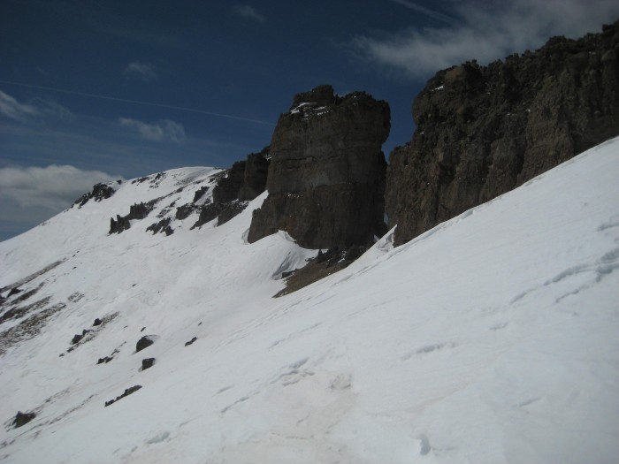
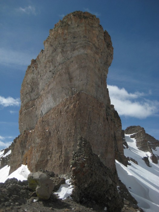
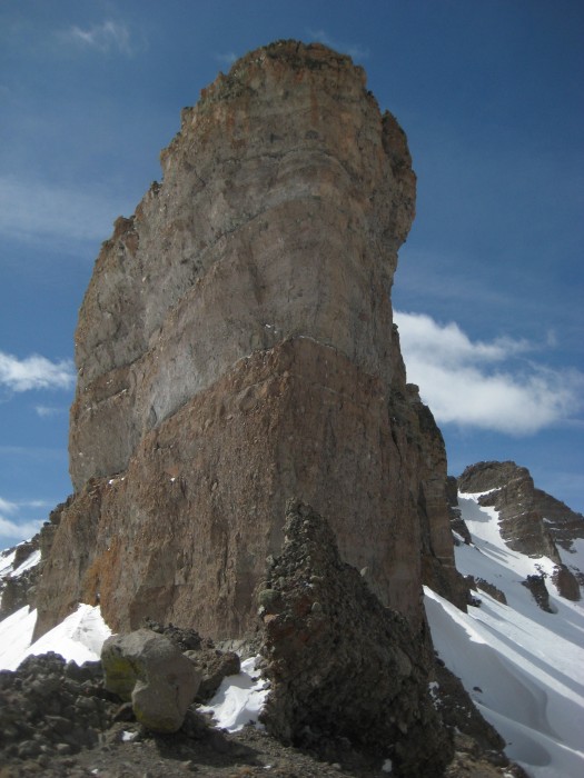
In the Window...turned out to be even cooler than I thought it would be...and so much larger than I expected...this is the south wall and it has to be at least 100 feet tall
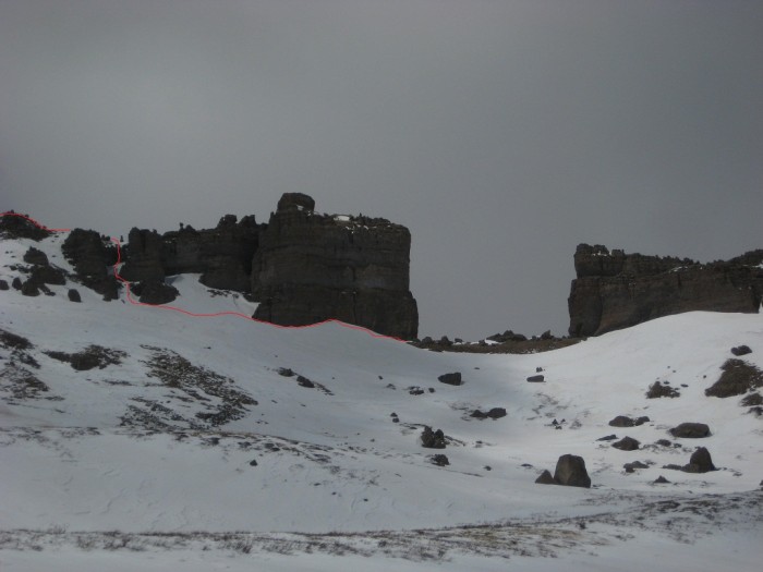
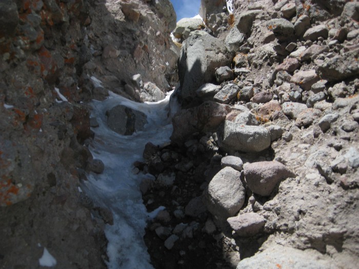
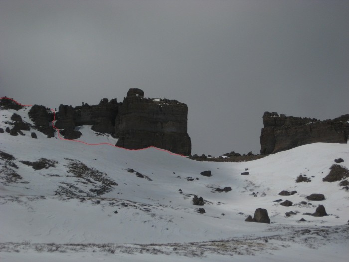
This shows the route I chose to get from the Window to Window Peak...I decided to call it the Window Crack
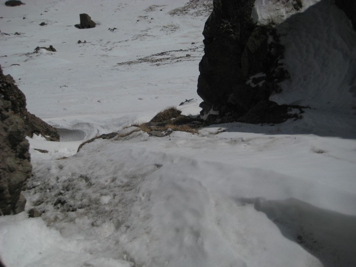
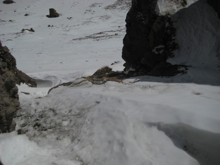
It was about 100 feet of mixed snow, ice and rock...this picture was taken looking back down from about half way up
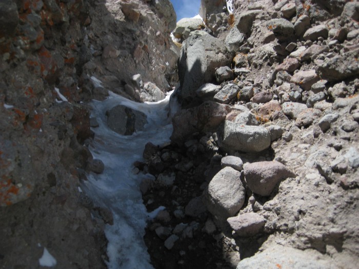
And the upper section
Looking back at Rio Grande and the Window from Window Peak
I followed the Rincon La Vaca back to Weminuche Pass...it made for a nice loop, but I lost elevation fast and was then stuck with a long, flat, sometimes uphill, hike back to camp
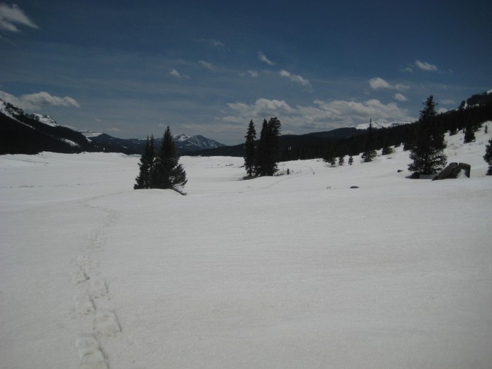
Weminuche Pass
The 18th hole
Stats:
Elevation...7000' (including recon hike and all the ups & downs)
Mileage...29 miles
FRIDAY
5:15am...Left Colorado Springs
9:38am...Start of Rio Grande Resevoir Road
10:06am...Thirty Mile Trailhead
10:40am...Start of the Weminuche Trail
12:45pm...Arrive at camp
4:00pm...Start recon hike
6:00pm...Back at camp
SATURDAY
4:45am...Wake Up
5:15am...Onward and upward
7:45am...Pt. 12724
8:38am...Pt. 13278
10:00am...Rio Grande Pyramid
11:00am...Window
11:30am...Window Peak
2:35pm...Back at camp
3:40pm...Leave camp
5:30pm...Back at car
10:15pm...Back in Colorado Springs
Thumbnails for uploaded photos (click to open slideshow):
I'm going to give you lessons on how to do a handstand. Poor form.
However, I'll give you some credit, you came a long way to do that. I recently read a book about Carl Blaurock, and I think he must have started that trend. He would be proud of you for your attempt, I'm sure.
Kidding aside, nice Mike! I look forward to getting down there for my cent' finisher. Someday.
Caution: The information contained in this report may not be accurate and should not be the only resource used in preparation for your climb. Failure to have the necessary experience, physical conditioning, supplies or equipment can result in injury or death. 14ers.com and the author(s) of this report provide no warranties, either express or implied, that the information provided is accurate or reliable. By using the information provided, you agree to indemnify and hold harmless 14ers.com and the report author(s) with respect to any claims and demands against them, including any attorney fees and expenses. Please read the 14ers.com Safety and Disclaimer pages for more information.
Copyright: Route information, text, risk factors, maps, GPX files, charts, photos, 14ers.com-created map imagery, flythroughs, and other content provided in this route description are copyrighted by 14ers.com and may not be copied, reproduced, republished, distributed, modified, or used to create derivative works without prior written permission.
Please respect private property: 14ers.com supports the rights of private landowners to determine how and by whom their land will be used. In Colorado, it is your responsibility to determine if land is private and to obtain the appropriate permission before entering the property.