Download Agreement, Release, and Acknowledgement of Risk:
You (the person requesting this file download) fully understand mountain climbing ("Activity") involves risks and dangers of serious bodily injury, including permanent disability, paralysis, and death ("Risks") and you fully accept and assume all such risks and all responsibility for losses, costs, and damages you incur as a result of your participation in this Activity.
You acknowledge that information in the file you have chosen to download may not be accurate and may contain errors. You agree to assume all risks when using this information and agree to release and discharge 14ers.com, 14ers Inc. and the author(s) of such information (collectively, the "Released Parties").
You hereby discharge the Released Parties from all damages, actions, claims and liabilities of any nature, specifically including, but not limited to, damages, actions, claims and liabilities arising from or related to the negligence of the Released Parties. You further agree to indemnify, hold harmless and defend 14ers.com, 14ers Inc. and each of the other Released Parties from and against any loss, damage, liability and expense, including costs and attorney fees, incurred by 14ers.com, 14ers Inc. or any of the other Released Parties as a result of you using information provided on the 14ers.com or 14ers Inc. websites.
You have read this agreement, fully understand its terms and intend it to be a complete and unconditional release of all liability to the greatest extent allowed by law and agree that if any portion of this agreement is held to be invalid the balance, notwithstanding, shall continue in full force and effect.
By clicking "OK" you agree to these terms. If you DO NOT agree, click "Cancel"...
RT-Length: 12.2 Miles
Time: 11hrs 29min
Weather: Sunny, upper 30's-40's, EXTREME Winds
Winter-TH: About .4 miles below Paris Mine
Trail Conditions: 6 inches of new snow, Broke my own trail (snowshoes would probably help until the ridge but do-able without)
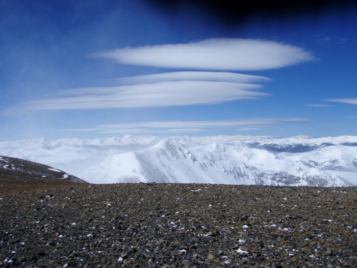
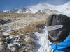
First off, the forecast suggested a sunny day with 30mph winds and 50mph gusts. The weatherman got the temps right but underplayed the winds, I'll get to that later. The area had received 5-9 inches the previous night which prevented me from getting all the way to the Paris Mine Winter T/H. I parked about .4 miles below the mine with my Honda Element and got started at about 4:45 am. I usually like to get very early starts because I don't sleep well the night before 14ers anyway (I get too excited). From the looks of it, the area received about 6 inches of new snow which made my Democrat push pretty slow without snowshoes. For those looking to go up there soon, I'd suggest snowshoes until about 12,850 ft, then you're golden until you get back down to Buckskin creek. Micro-spikes may help out above 12,850, but I went without. Mt. Democrat from the south
When I first rounded the corner and got a good look at Democrat, I immediately wished I had brought my board. That new snow opened up a number of beautiful descent lines across the south face. Turns out, with the wind being the way it was up top, I would have been screwed with a board on my back. The only avy suggestive terrain that I had to cross was from about 12,650-12,850 ft while making my way up Democrat. I dug a pit and found layering of the un-bonded new snow but after a shear test I found the pack to be stable. With the winds that I encountered from the North and West during the day, I'm guessing there has been a lot of wind loading on the south and east side slopes, so I'd be careful on this south slope of Democrat right now.
Mt Cameron from Democrat Summit
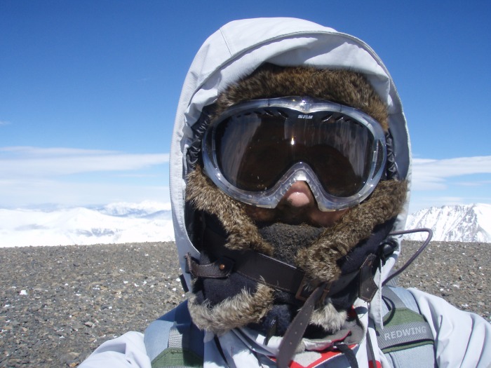
Me on Democrat Summit, Mood: Happy
The winds seemed to pick up ten-fold when I got back down the saddle between Democrat and Cameron. As I ascended up the ridge I was continuously knocked down from winds out of the north. I continued on up Cameron, crawling up the ridge towards summit, thinking that the winds would die down on the other side of the mountain. I've experienced strong winds on winter ascents on Elbert and Yale which clocked 70-90 km/hr (43-56 mph) on my digital anemometer. Unfortunately, I didn't bring my anemometer on this trip, but judging by comparison, during my traverses I was continuously being hit by >60mph winds. At times it sounded like a jet engine was on top of me, and a few times I thought the winds would rip my clothing right off my back.
Mt Democrat from Cameron Summit
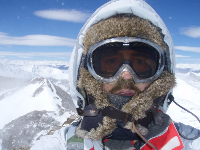
Me on Cameron Summit; Quandary in Background
My exit plan had been to follow the Mt Bross ridge south towards my vehicle near Paris Mine, but when I started making my way towards Lincoln, I realized the winds wouldn't be changing for me all day.
Mt Democrat and Mt Cameron from Lincoln Summit
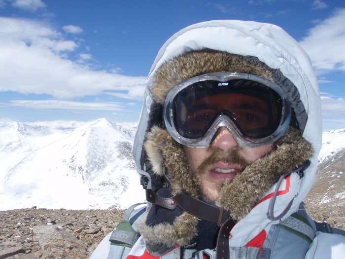
Me on Lincoln Summit; Mood: Starting to become unhappy from wind
After tagging the summit of Lincoln and capturing a couple pictures of the moment, I made my way down towards Cameron with the intention of descending back below 13,000 ft to avoid the danger of being blown off the mountain. At the last second I chose to continue on. I made this choice partially because I was afraid of the warm snow pack that had been building on the south face, and partially because Bross looked so easy from the Lincoln-Cameron saddle. Looking back on it, I definitely put my self in danger as the winds continued to put me on my ass until the South Bross descent, but I still think it was the right decision to make given the avy danger I would have had to face, otherwise. My strategy to cope with the strong winds during my traverses was to stay on the windward side of the ridge so that when the wind did knock me down, it was towards the mountain instead of away. The wind was frightening to say the least, especially since I chose to do the trip solo. I think what makes this shit so dangerous is that when you decide you're not having fun anymore, you can't just quit, walk away, and do something else. It's a continuous effort to survive until you're back on flat ground.
Mt Democrat from Bross Summit
Me on Bross Summit; Mood: Thoroughly unhappy from wind
Mt Cameron and Lincoln from Bross Summit
After hitting up Bross, I continued on to South Bross then planned my descent.
Pikes Peak from S Bross Summit
I had been above 13,500 feet for about 4.5 hours during the trip and I was starting to experience altitude sickness (horrible headache). Instead of continuing the ridge as I had planned, I decided to get out of the wind and below 13,000 ft in a hurry by dropping into the bowl to the south of S. Bross. There was no snow almost all the way back down to Buckskin creek, but it was a very slow descent moving down the scree field. If anyone plans on following the garmin topo tracks that I'm posting, I'd suggest choosing a different descent than mine. Once back down at the main trail I walked back to my vehicle through the softened snow. The day ended up much longer than I had anticipated thanks to the wind. I suppose it could have been done faster with snow shoes as well. The headache went away two hours later.
My GPS Tracks on Google Maps (made from a .GPX file upload):
Killer trip, it's a trudge like yours that really challenges the will to continue. Nice work, glad it went safely.
Caution: The information contained in this report may not be accurate and should not be the only resource used in preparation for your climb. Failure to have the necessary experience, physical conditioning, supplies or equipment can result in injury or death. 14ers.com and the author(s) of this report provide no warranties, either express or implied, that the information provided is accurate or reliable. By using the information provided, you agree to indemnify and hold harmless 14ers.com and the report author(s) with respect to any claims and demands against them, including any attorney fees and expenses. Please read the 14ers.com Safety and Disclaimer pages for more information.
Please respect private property: 14ers.com supports the rights of private landowners to determine how and by whom their land will be used. In Colorado, it is your responsibility to determine if land is private and to obtain the appropriate permission before entering the property.