Download Agreement, Release, and Acknowledgement of Risk:
You (the person requesting this file download) fully understand mountain climbing ("Activity") involves risks and dangers of serious bodily injury, including permanent disability, paralysis, and death ("Risks") and you fully accept and assume all such risks and all responsibility for losses, costs, and damages you incur as a result of your participation in this Activity.
You acknowledge that information in the file you have chosen to download may not be accurate and may contain errors. You agree to assume all risks when using this information and agree to release and discharge 14ers.com, 14ers Inc. and the author(s) of such information (collectively, the "Released Parties").
You hereby discharge the Released Parties from all damages, actions, claims and liabilities of any nature, specifically including, but not limited to, damages, actions, claims and liabilities arising from or related to the negligence of the Released Parties. You further agree to indemnify, hold harmless and defend 14ers.com, 14ers Inc. and each of the other Released Parties from and against any loss, damage, liability and expense, including costs and attorney fees, incurred by 14ers.com, 14ers Inc. or any of the other Released Parties as a result of you using information provided on the 14ers.com or 14ers Inc. websites.
You have read this agreement, fully understand its terms and intend it to be a complete and unconditional release of all liability to the greatest extent allowed by law and agree that if any portion of this agreement is held to be invalid the balance, notwithstanding, shall continue in full force and effect.
By clicking "OK" you agree to these terms. If you DO NOT agree, click "Cancel"...
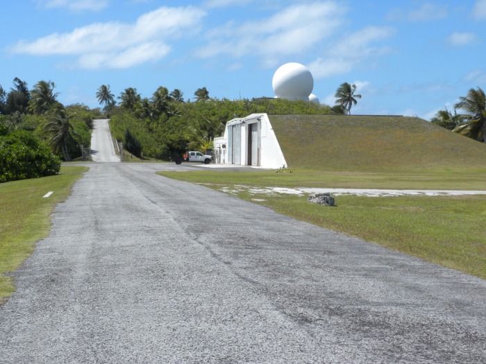
Mount Olympus, Kwajalein Island, Republic of the Marshall Islands
Some of you out there may have noticed the absence of my incline conditions reports while I've been out of the country. Fortunately I was able to squeeze in a little hiking while I was gone. I spent some time on Kwajalein Atoll, in the Marshall Islands. The natural elevation is 9 feet above sea level. When I flew in, I saw this bump and knew that I had to climb it. I had absent minded in my packing for this trip and had forgotten my crampons, ropes, hiking poles, even my back pack, sleeping bag and pad, even the tent! No matter! I was just gonna have live dangerously and take a chance with out any hiking gear.
I wanted this hike to have as much of an elevation gain as possible, so I started at sea level... at glass beach. It's called glass beach because this is where a lot of junk was disgarded into the ocean for a lot of years. All the glass breaks up and is polished into small rounded clear pebbles ranging from the size of a grain of sand to an inch or more. Most are about 1/4 inch in size but it's easy to find 1/2 inch and larger. There is also metal along the beach. Aluminum shards that have also been worked on my the waves and the rocks. Those chunks are beaten into some neat pieces of metal that look like they are fluid, or molten wax, or some kind of large polished ore. I have some pictures at the end of the trip report.
The first leg of the trail leaves the beach via a little hill through the vegetation.
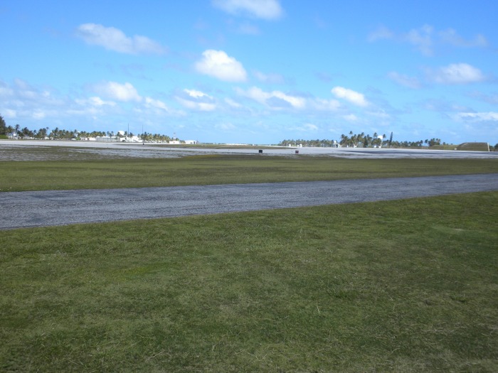
This is the view beyond. The airfield.
Looking back toward the trailhead.
Looking toward the peak.
Enroute to the peak. Luckily a false summit along the right is easily traversed to its left.
View to the right from this area.
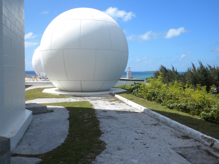
View of Mt Olympus in all it's glory; and apparently the death star as well.
Another angle.
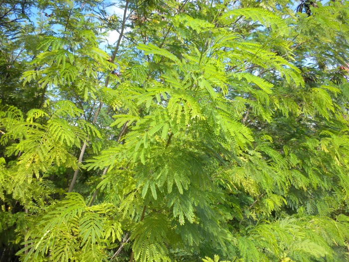
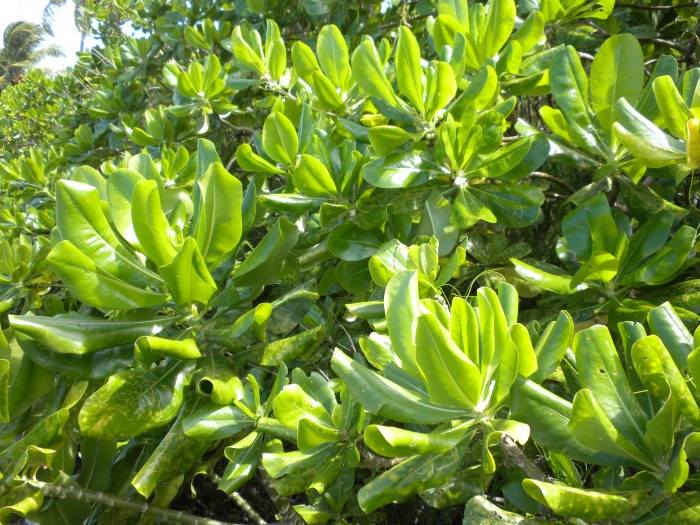
Vegetation along the East side of the trail.
Vegetation along the West side of the trail
Nearing the summit, I discovered a nice side trail off to the right.
Local wildlife.
The final push to the summit, and yes, the death star as well.
Baby death stars surrounding the big death star.
The view from the top is pretty nice for ~40 feet elevation. Okay, I really don't know exactly how high it is here, but it's not a lot. Yep, it's a man made hill, but it really is named Mount Olympus.
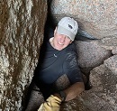
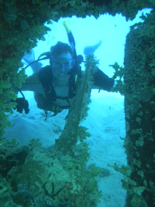
Yes, that is indeed a 14ers.com shirt that I am wearing. This was the only day I wore long sleeved shirt on the island, other than a few times scuba diving around the island. But that wasn't actually on the island, so those don't count.
View back toward the trailhead.
View from about half way down the mountain.
The sky looks clear from here, although it's not the clouds you gotta keep an eye out for.
Back at the trailhead, some local wild life in a life and death struggle over who gets the biggest shell.
On the far end of the beach lies the rusting relics of WW2, long ago cast aside and now weathered by wind, water and salt. I didn't really take enough picture of this area. The dark hulks in the back ground are tons and tons (literally) of metal that has become fused together by rust and coral rock into a sort of metal cement. The metal has rusted and eroded into some bizarre shapes.
Yes, those are old truck frames in the foreground.
My take after about 90 minutes of beach combing around the trailhead.
Oh wait, that shell is already claimed. Those bastard hermit crabs always claim the best shells! Any claimed shells I picked up were always left with their original owners, no matter how pretty.
Gotta pause for a second and watch an airplane take off. Those signs you saw earlier are there for a very good reason. The trail that circles the airfield is only about 30 feet from the edge of the runway.
Better view of this afternoon's collection. On the left are some examples of aluminum alloy, the glass is on the bottom sorted by white or colored. No blue glass today, but lots of reds, greens, and browns. The shells are sorted by type and even some nice coral chunks today. Click on the picture, and then click it again to get a large version of the picture for a closer look.
Well, that is about it. Oh, and a couple of days before this hike, a friend in Salida said that it was -25° F at her house. Brrrrrrrr! I'm so glad I was on the beach instead!
And since I have room for 4 more pictures, here are a few pics of what it looks like to NOT be surrounded by snow:
That's me, behind the propeller of a WW2 wreck.
Same wreck. Bow of the ship.
Entire bow of the wreck as the wreck disappears into the distance.
This shot is actually on Roi-Namur, an island 20 minutes to the north, but a really cool view.
I'm home now. It's snowing outside as I put this all together. Stupid winter weather! I miss Kwajalein!
Thumbnails for uploaded photos (click to open slideshow):
Not many trip reports on this site that have pictures of a hiker below sea level! Great pics, really makes me long for better weather!
Caution: The information contained in this report may not be accurate and should not be the only resource used in preparation for your climb. Failure to have the necessary experience, physical conditioning, supplies or equipment can result in injury or death. 14ers.com and the author(s) of this report provide no warranties, either express or implied, that the information provided is accurate or reliable. By using the information provided, you agree to indemnify and hold harmless 14ers.com and the report author(s) with respect to any claims and demands against them, including any attorney fees and expenses. Please read the 14ers.com Safety and Disclaimer pages for more information.
Please respect private property: 14ers.com supports the rights of private landowners to determine how and by whom their land will be used. In Colorado, it is your responsibility to determine if land is private and to obtain the appropriate permission before entering the property.


")
")
")
")
")
")
")
")
")
")
")
")
")
")
")
")
")
")
")
")
")
")
")
")
")
")
")
")
")
")