Log In 
Report Type 
Mini
Peak(s)  Mt. Oso  -  13,689 feet
Date Posted  02/25/2011
Modified  02/27/2011
Date Climbed   04/24/2010
Author  Manky
 Oso nice-Ski descent of Mt. Oso   
Been wanting to get this TR together for a while. This is my first TR on 14ers, so here we go!!

After a few recon and ski trips deep into the Weminuche, we finally sussed out a decent ski descent on Mt. Oso. Our goal was the giant snowfield visible from the south that drops right off the top and then curves you around beautifully into upper Roell Creek. Our access point was the Vallecito Creek Trailhead. After a stop at Comida Mexicana at Vallecito for burros, vitamin water and provisions we hit the trail about 1 p.m.
Image
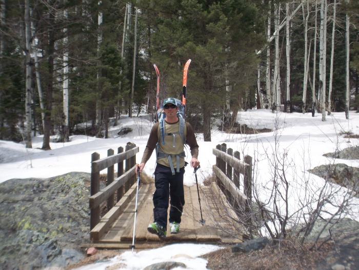
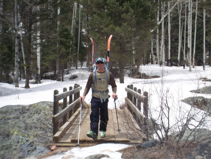
First bridge on Vallecito Creek

Image
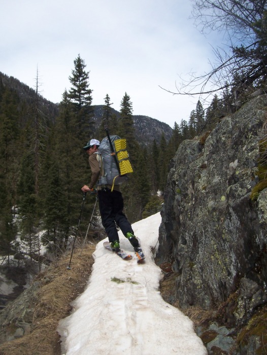
Vallecito trail-finally skinning

After a nice dinner and brew at our camp at the mouth of Roell Creek, we slept fairly good despite the long approach. In the morning we set off up Roell Creek with skis and a smile.
Image
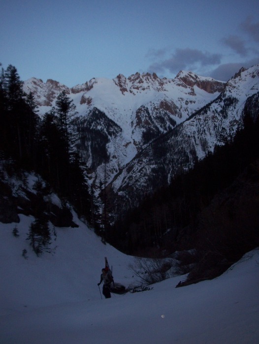
Roell Creek-Graylock and Thunder behind

A million dollar view preceded a very cold day.
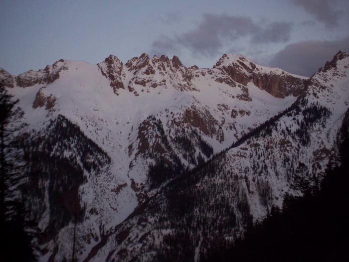
Image
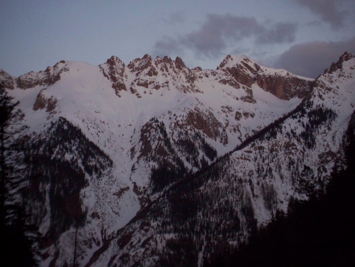
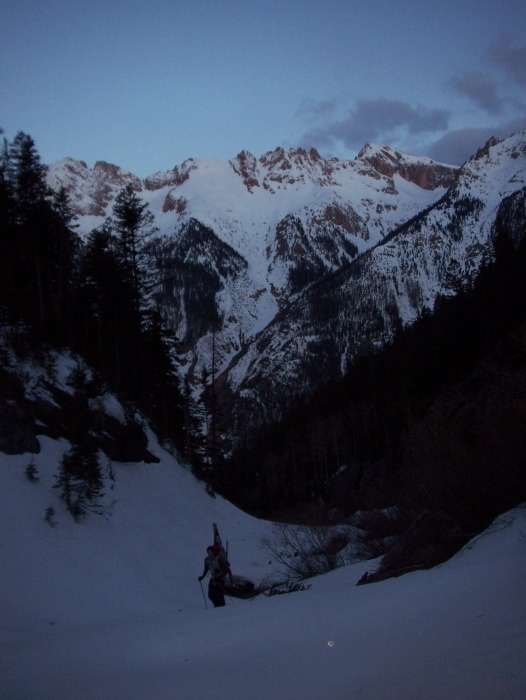
Alpenglow

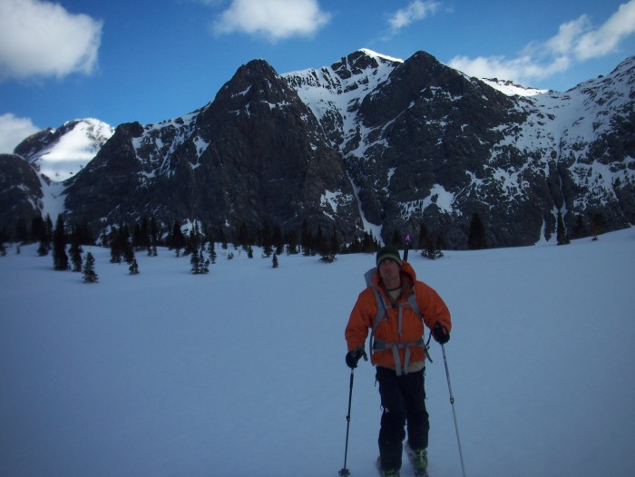
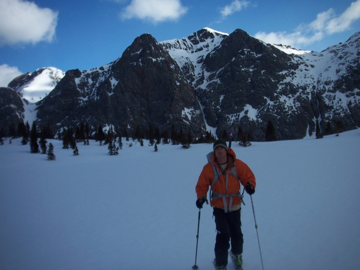
After cruising up Roell creek and then up a steep portion at treeline, we got higher in the basin above Lost Lake. Peters Peak welcomes us as well as winds that force us to hike in puffy coats.
Image
Skinning above lost lake with Peter's Peak behind

Image
Point 13,179 that we skied a week prior.

Image
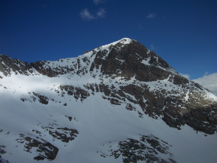
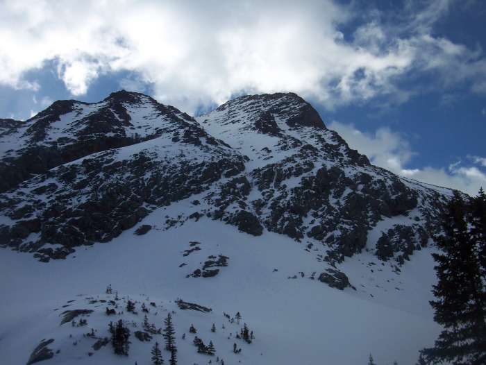
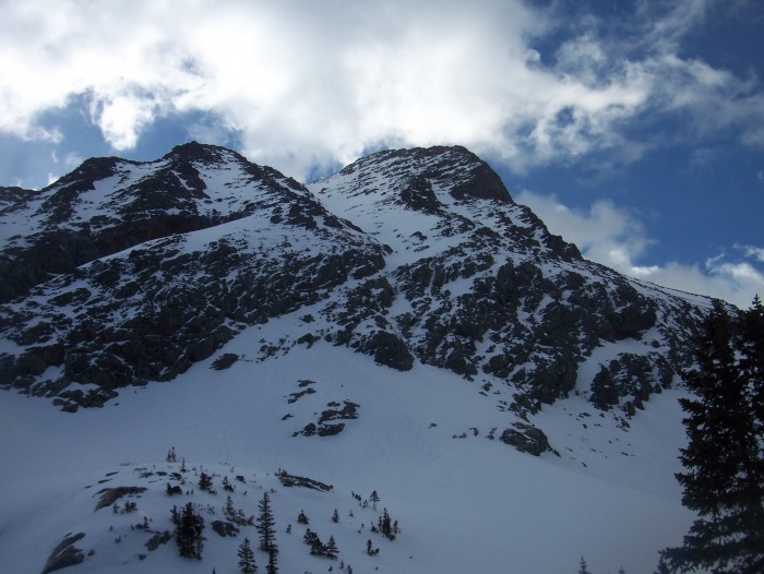
Neat couloir off west side of Oso

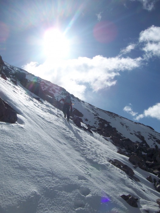
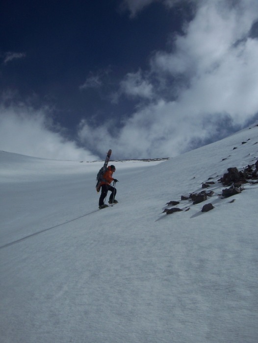
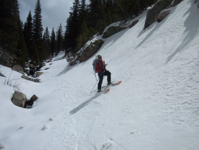
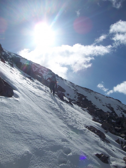
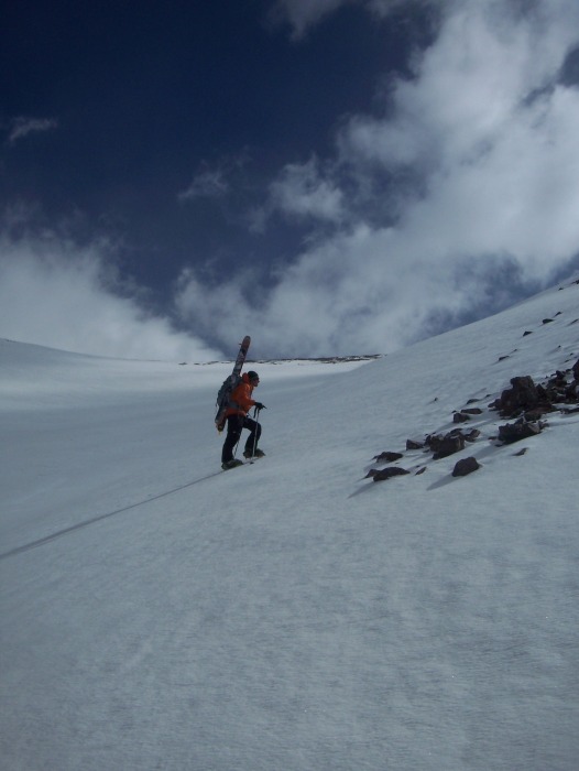
Finally the frozen corn and increase in angle forces us to put the skis on the pack and boot up. Good corn for the climb, but pretty frozen on the descent.
Image
Bootpack

Image
Bootin it

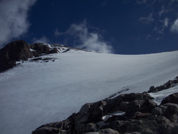
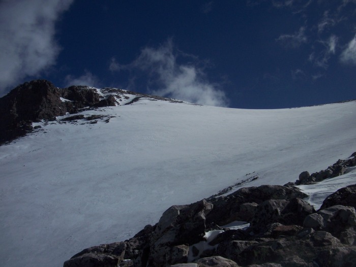
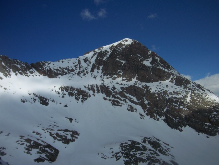
All the way up on the boot pack we had to look at this tiny snowfield that we get to ski on the way down.
Image
The huge snowfield

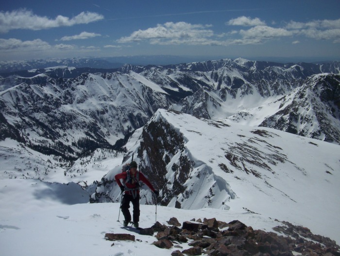
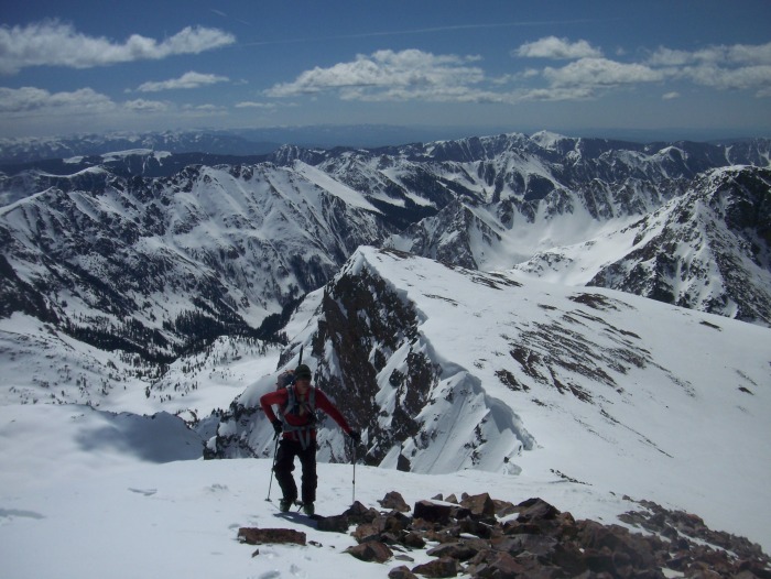
A long interesting ridge to the top with a huge drop to climbers right finally put us on the windy summit.
Image
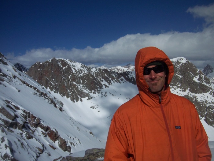
Happy summit but cold

Image
Andy on top

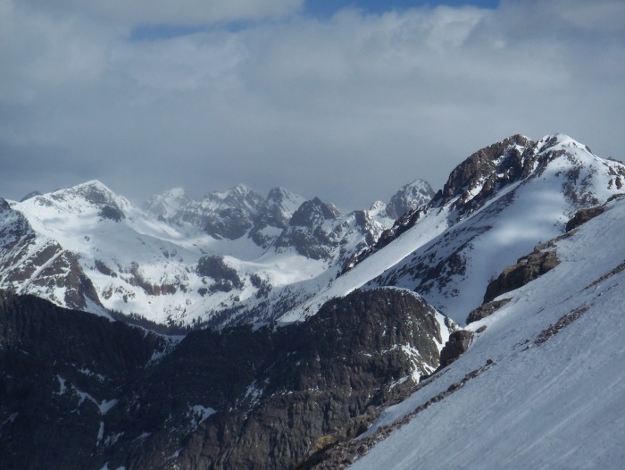
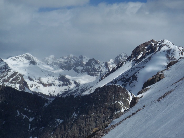
The view up here was awesome despite some clouds around us.
Image
San Juans

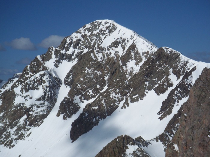
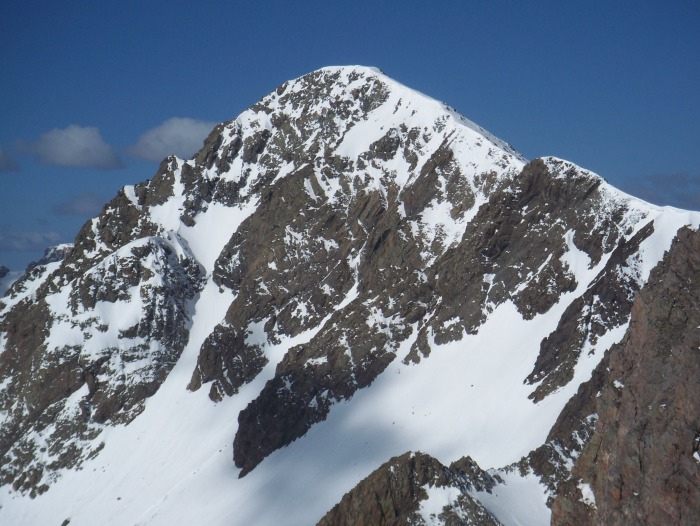
An excellent view of remote neighbor Mt. Irving-hoping to ski this one this year!
Image
Mt. Irving

Skiing the upper portion of Oso.

Skiing the huge snowfield.

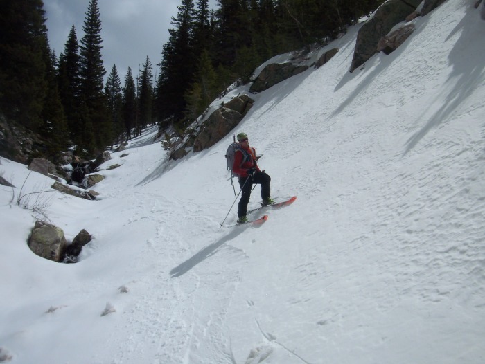
Skiing Roell creek just above camp.

After a cold, varied descent directly from the summit, we reached high camp at the mouth of Roell Creek tired and satisfied. For every great line we ski, we see ten more that we dream of doing. We have not heard of anyone else skiing Mt. Oso, so let us know if you have!!
Image
Skiing back down Roell Creek

Image
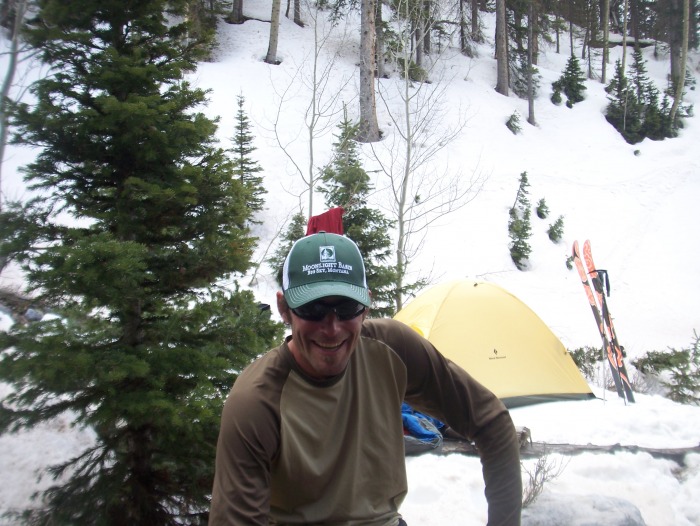
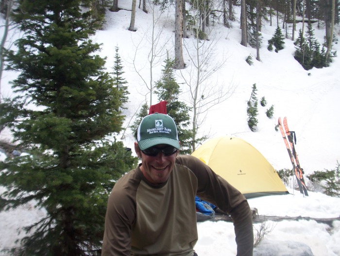
Back at high camp


Thumbnails for uploaded photos (click to open slideshow):
1 2 3 4 5 6 7 8 9 10 11 12 13 14 15 16


Comments or Questions
sgladbach
User
Great Job!
2/26/2011 2:38am
I'd love to hear more about the expedition attack. Where, exactly, were you able to park? How was the approach to high-camp? Is it reasonable to continue further up the Vallecito (i.e. Sunlight Creek? )A week ago, you mentioned a carry to high camp. How long did that take; was the snow still broken when you climbed?

”We have not heard of anyone else skiing Mt. Oso, so let us know if you have!! ”

No, I haven't.
If it has been skied, I'll bet my boots it wasn't during true winter.

Looking forward to more TR's on this very remote stuff.

Steve


d_baker
User
cool
2/26/2011 3:07am
Nice to see a TR on part of the state, in winter, that probably sees few, if any visitors this time of year!!
Awesome! Thanks for posting...
(btw...the youtube vid's didn't load)


Manky
User
Not in winter.....
2/26/2011 3:33am
This trip took place last April-see the climb date at the top. Finally figured out the youtube links.


traderaaron
User
Wow!
2/26/2011 3:41am
I know this is a serious effort to get there in the summer, I had to do a double take at first when I saw the date and the fact it was a ski trip.

Wow!


Floyd
User
Nice!
2/26/2011 4:43am
Great pictures, but I bet they don't come close to doing THAT scenery justice. Thanks for posting.


d_baker
User
Re: Not in winter
2/26/2011 12:49pm
Oh...still, very cool to see a report from that area! I saw a post of yours a week ago which led me to think, without looking at the above date, that this was recent! Still Awesome!


Manky
User
sgladbach...
2/27/2011 2:06pm
The road is plowed right to the campground where the Vallecito trail head starts. The approach to Roell Creek high camp took about 5-6 hours of skiing (about 11ish miles). We skied Oso the next day and skied all the way back to the truck-a total of around 30 miles in a day and a half. Vallecito creek is an awesome approach for any climbs in this area. It is a very flat trail with gentle gain most of the way. Our carry two weeks ago took about a 10 hour round trip and we cached food around 8 miles near the foot of Mt. Irving. Planning on trying to ski Irving and some other secret projects soon!


PKelley
User
Nice work!
3/1/2011 10:55pm
That is a lot of skinning/hiking to ski a peak. Cool.


SchralpTheGnar
User
Nice slog
3/3/2011 4:17pm
Way to get out there, that must have been an amazing trip. Thanks for posting.


Easy Rider
User
Tanks for posting
3/13/2011 5:13pm
looks like a great trip. Way to get out there!


swbackcountry
User
Impressive trip, great first.
6/21/2013 4:51am
A few pics a report surely don't do an effort like this justice, so hopefully a few words of appreciation help. Great Job, especially for being the first!!


   Not registered?


Caution: The information contained in this report may not be accurate and should not be the only resource used in preparation for your climb. Failure to have the necessary experience, physical conditioning, supplies or equipment can result in injury or death. 14ers.com and the author(s) of this report provide no warranties, either express or implied, that the information provided is accurate or reliable. By using the information provided, you agree to indemnify and hold harmless 14ers.com and the report author(s) with respect to any claims and demands against them, including any attorney fees and expenses. Please read the 14ers.com Safety and Disclaimer pages for more information.

Copyright: Route information, text, risk factors, maps, GPX files, charts, photos, 14ers.com-created map imagery, flythroughs, and other content provided in this route description are copyrighted by 14ers.com and may not be copied, reproduced, republished, distributed, modified, or used to create derivative works without prior written permission.
Please respect private property: 14ers.com supports the rights of private landowners to determine how and by whom their land will be used. In Colorado, it is your responsibility to determine if land is private and to obtain the appropriate permission before entering the property.