Log In 
Report Type 
Mini
Peak(s)  Quandary Peak  -  14,272 feet
Date Posted  08/05/2010
Modified  08/08/2010
Date Climbed   07/31/2010
Author  Fairlight
 Quandary - From Monte Cristo Trailhead   
I had flown in from Chicago three days earlier and had already hiked Elbert, but this was by far the best weather day. I car-camped a bit past the trailhead at a turn off the night before and was underway by 5:30 a.m. About a dozen or so others left at the same time.
Image
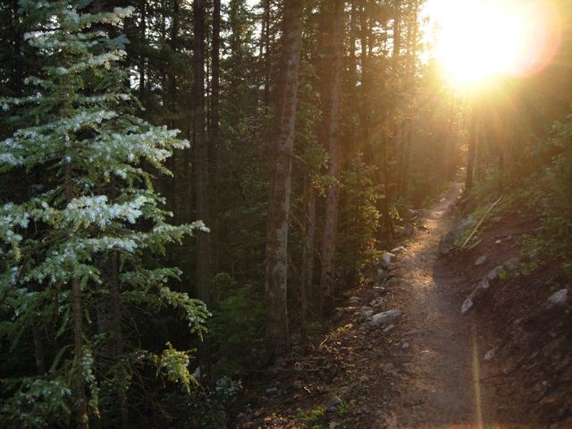
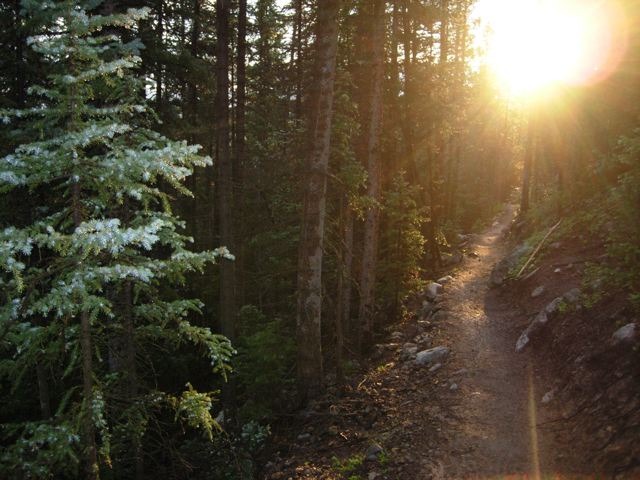
Trail Sunrise

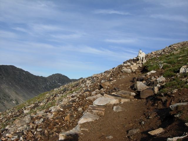
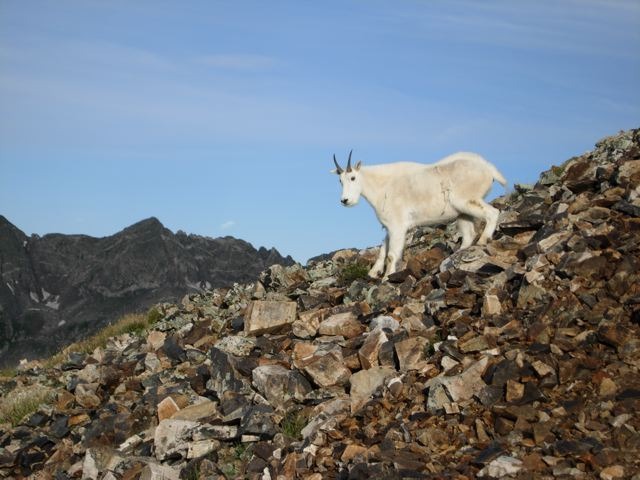
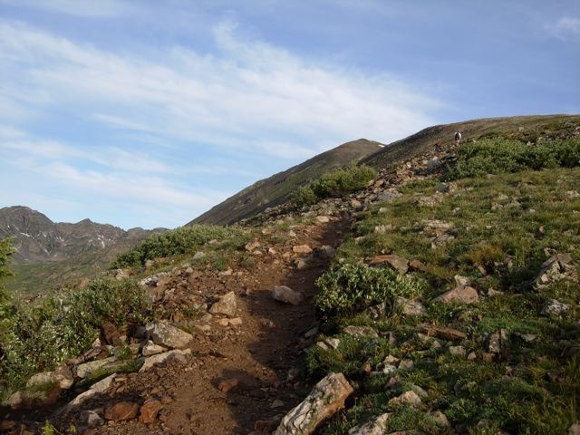
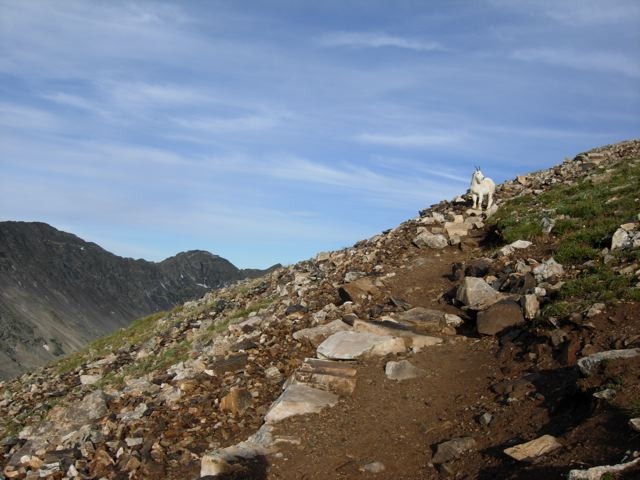
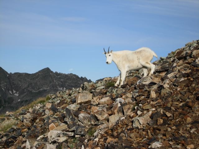
The path through the trees was easy to follow and soon I approached the tree line. A mountain goat greeted me on the way up.
Image
Just past the tree line

Image
Goat ahead

Image
Mountain Goat

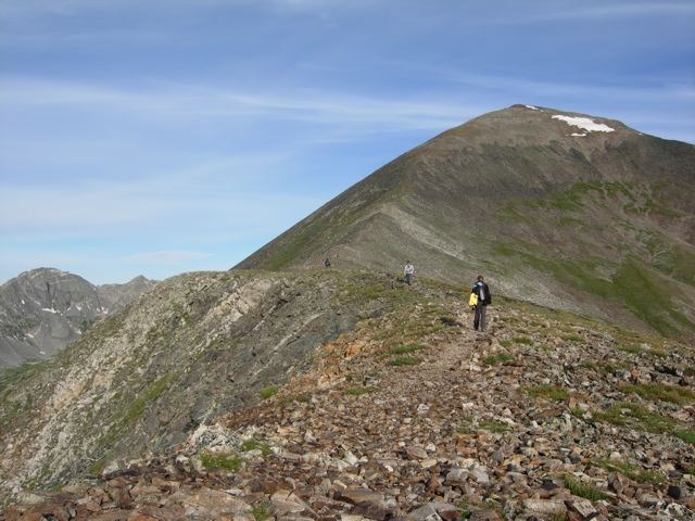
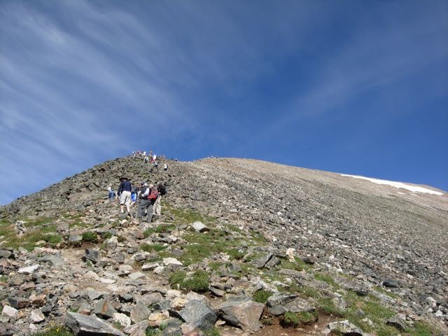
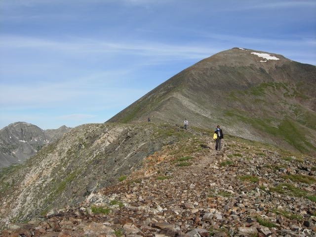
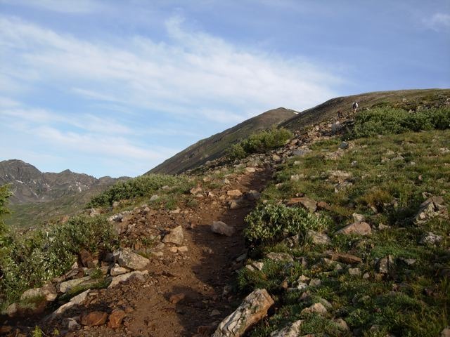
A big false summit was the first challenge. Folks on the trail were still few and spread far apart, but that would soon change.
Image
False summit

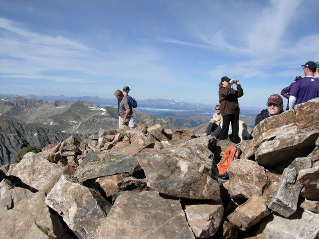
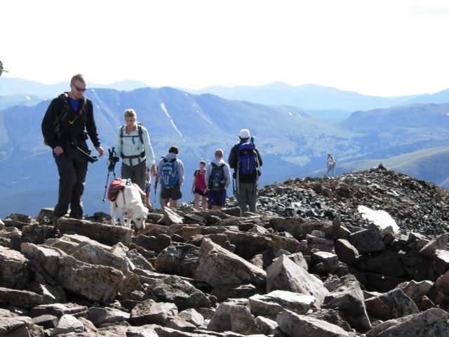
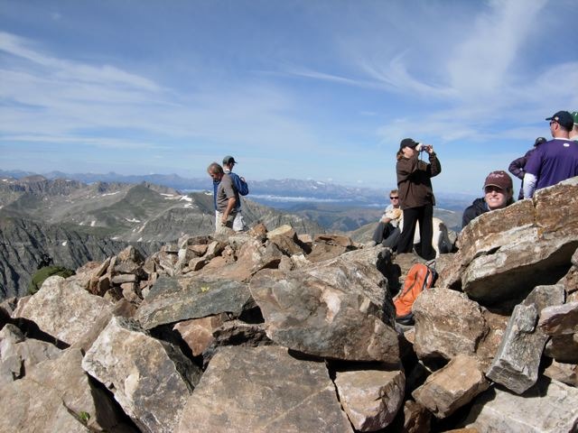
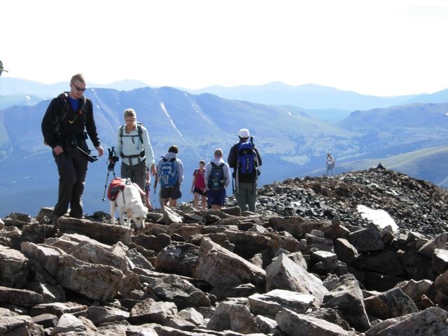
The path turned from dirt to very rocky. Many of the stones required knee-high step ups and it felt very much like stair climbing in spots. I reached the summit in about 3.5 hours and was greeted by a handful of people and several dogs.
Image
Summit

Image
Summit

Image
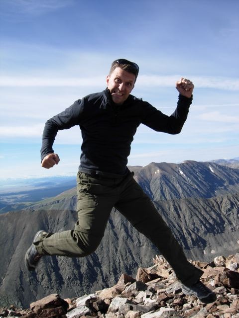
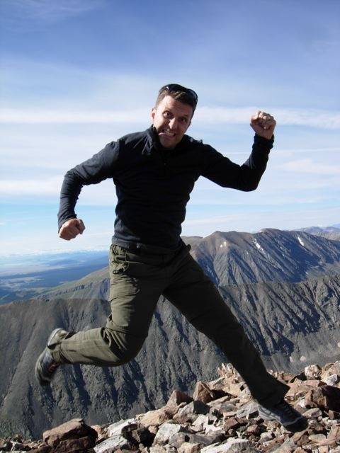
Victory!

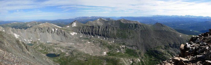
Image
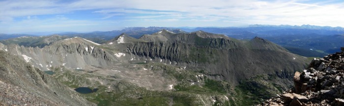
Panorama

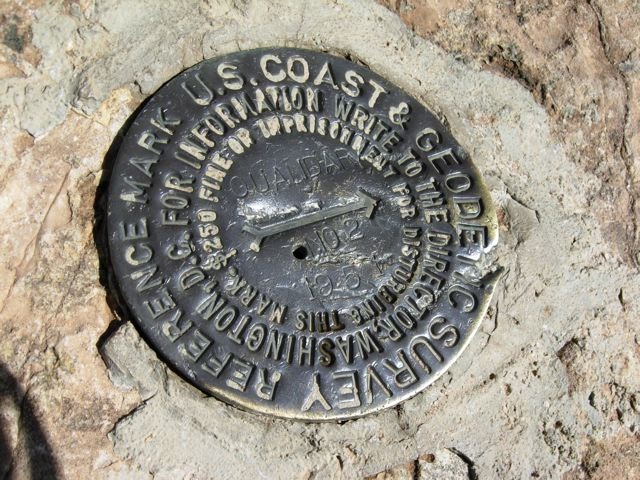
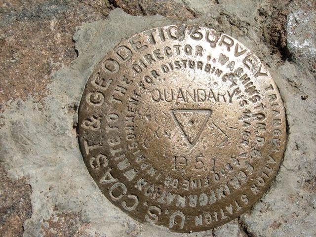
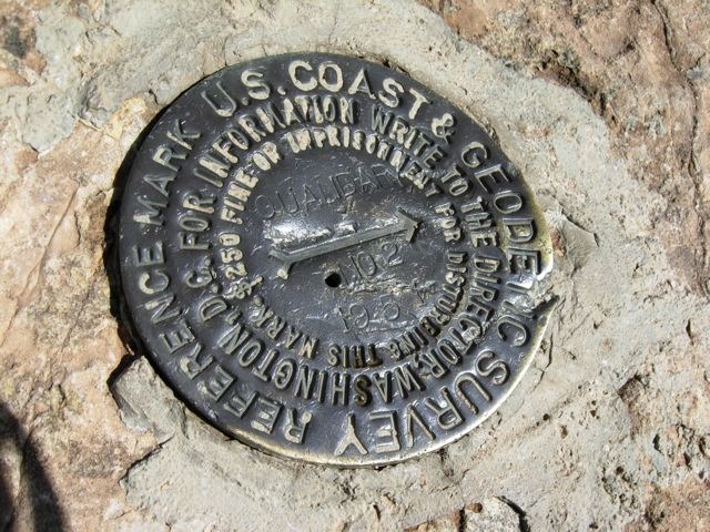
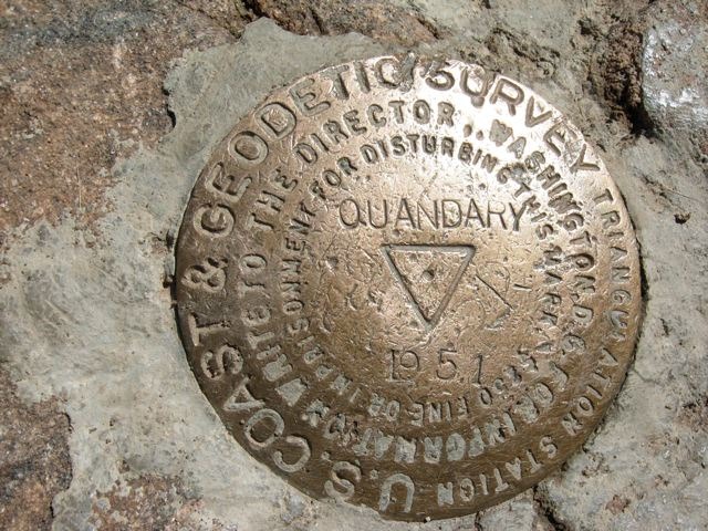
Several of us exchanged photo ops; I found the Survey Markers (there were two) and started heading down.
Image
Marker 1

Image
Marker 2

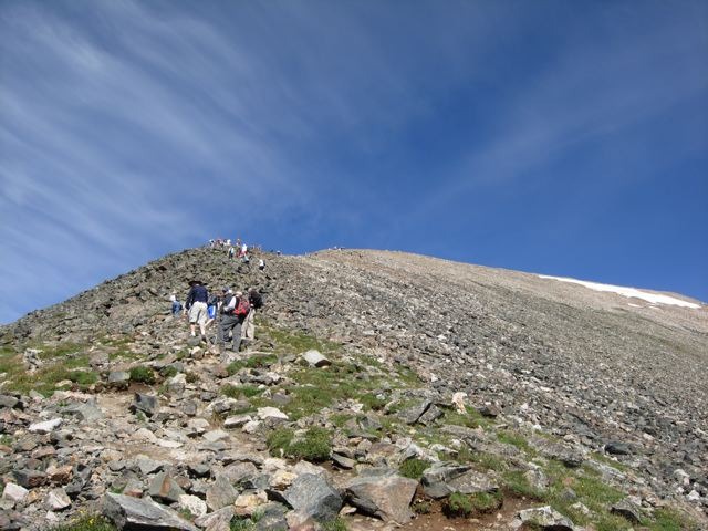
Going down the first false summit there were now several dozen people on the way up. I had to stop frequently to allow others to pass. By the time I reached the tree-line I estimated over a hundred hikers were on the trail.
Image
Looking back up a false summit

The hike back down over the rocks and boulders was a challenge. I passed several who looked at my trek poles with envy. On the Quandary descent I would highly recommend them to save your knees. The down-stepping is especially brutal on this hill at the higher elevations.
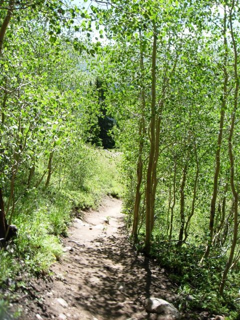
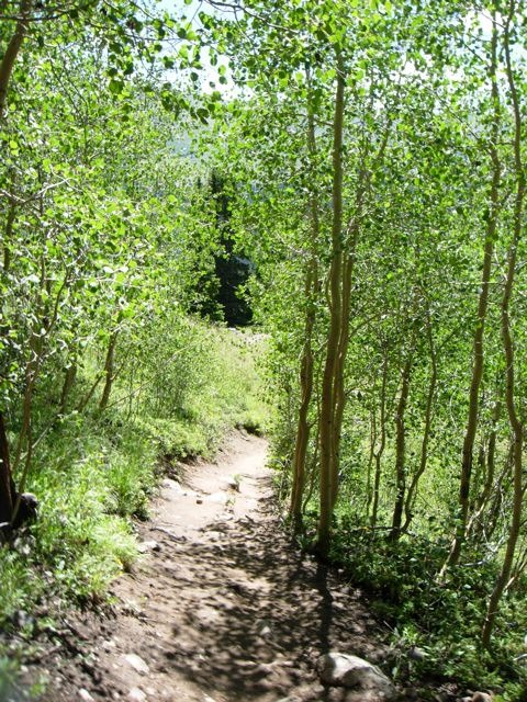
With a cool breeze blowing through the Aspen, I reached the trailhead at about 10:30. Many were still coming up the path. There were no parking spots in sight all the way down to the entrance off Rt. 9 on the drive out. I would suggest an early start to avoid the crowds!
Image
Aspens

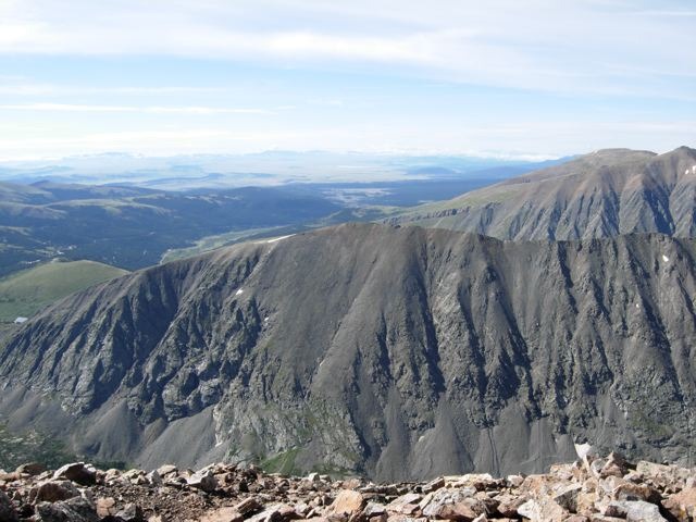
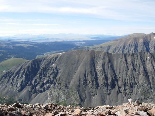
Overall, this was a very beautiful hike with the summit in sight a majority of the way. Most of the climbing stays on the straight, side ridge of the mountain and you can measure your progress by the stream/dam below and the enormous ridge across the valley to the left.
Image
Valley and ridge on left during climb


Thumbnails for uploaded photos (click to open slideshow):
1 2 3 4 5 6 7 8 9 10 11 12 13 14


Comments or Questions
   Not registered?


Caution: The information contained in this report may not be accurate and should not be the only resource used in preparation for your climb. Failure to have the necessary experience, physical conditioning, supplies or equipment can result in injury or death. 14ers.com and the author(s) of this report provide no warranties, either express or implied, that the information provided is accurate or reliable. By using the information provided, you agree to indemnify and hold harmless 14ers.com and the report author(s) with respect to any claims and demands against them, including any attorney fees and expenses. Please read the 14ers.com Safety and Disclaimer pages for more information.
Please respect private property: 14ers.com supports the rights of private landowners to determine how and by whom their land will be used. In Colorado, it is your responsibility to determine if land is private and to obtain the appropriate permission before entering the property.