Download Agreement, Release, and Acknowledgement of Risk:
You (the person requesting this file download) fully understand mountain climbing ("Activity") involves risks and dangers of serious bodily injury, including permanent disability, paralysis, and death ("Risks") and you fully accept and assume all such risks and all responsibility for losses, costs, and damages you incur as a result of your participation in this Activity.
You acknowledge that information in the file you have chosen to download may not be accurate and may contain errors. You agree to assume all risks when using this information and agree to release and discharge 14ers.com, 14ers Inc. and the author(s) of such information (collectively, the "Released Parties").
You hereby discharge the Released Parties from all damages, actions, claims and liabilities of any nature, specifically including, but not limited to, damages, actions, claims and liabilities arising from or related to the negligence of the Released Parties. You further agree to indemnify, hold harmless and defend 14ers.com, 14ers Inc. and each of the other Released Parties from and against any loss, damage, liability and expense, including costs and attorney fees, incurred by 14ers.com, 14ers Inc. or any of the other Released Parties as a result of you using information provided on the 14ers.com or 14ers Inc. websites.
You have read this agreement, fully understand its terms and intend it to be a complete and unconditional release of all liability to the greatest extent allowed by law and agree that if any portion of this agreement is held to be invalid the balance, notwithstanding, shall continue in full force and effect.
By clicking "OK" you agree to these terms. If you DO NOT agree, click "Cancel"...
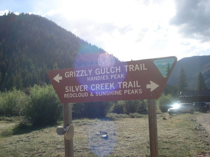
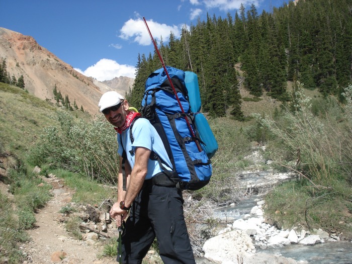
We arrived at Grizzly Gulch & Silver Creek TH on Friday afternoon.
We always prefer to backpack a little bit into the trail rather than car-camp, so we started hiking up Grizzly Gulch trail to about 11,200 feet where we had a great view of Handies Peak.
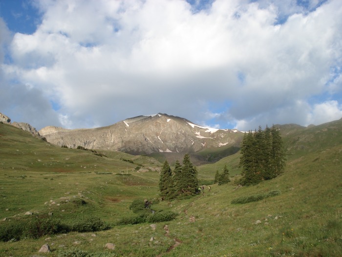
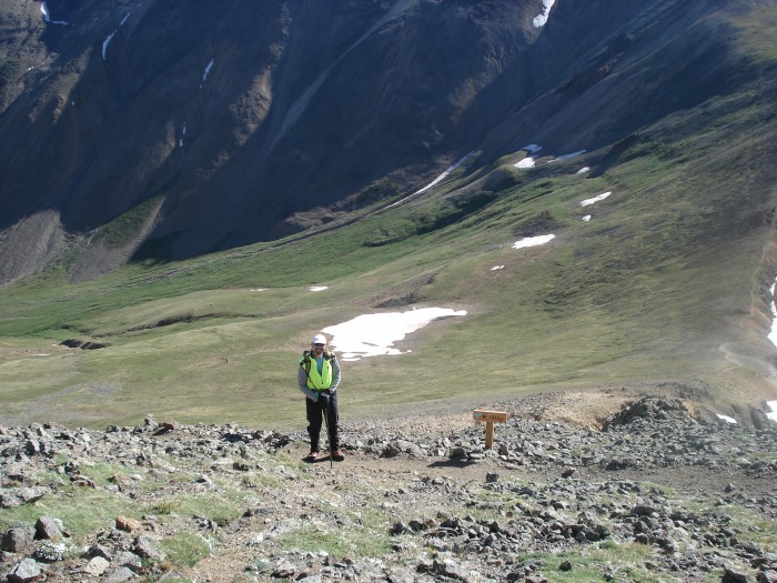
Next morning we woke up at 5.30 am and started our hike at 6.15am. The valley looked beautiful with many flowers along the side of the creek. Even at that hour in the morning the clouds were already starting to form.
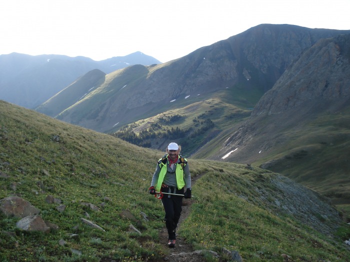
The hike was pretty gentle and easy to follow.
Looking back at the trail
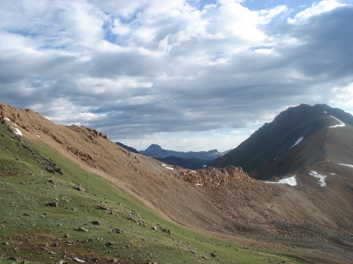
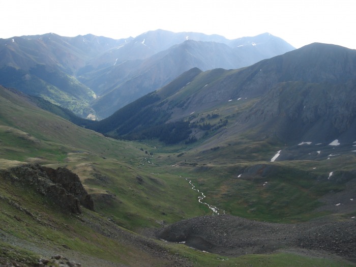
Looking down into the valley.
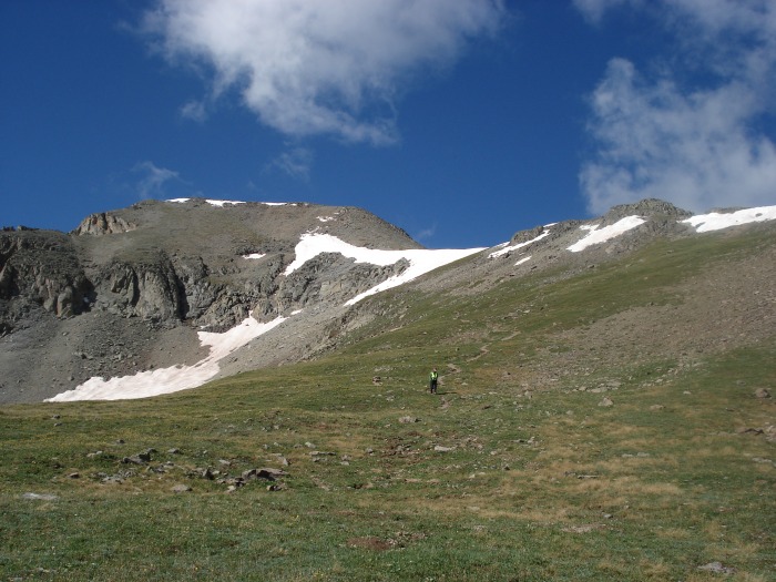
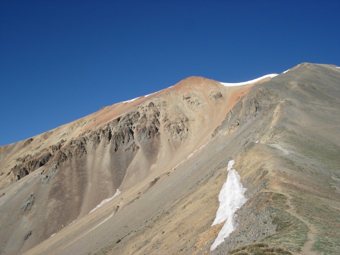
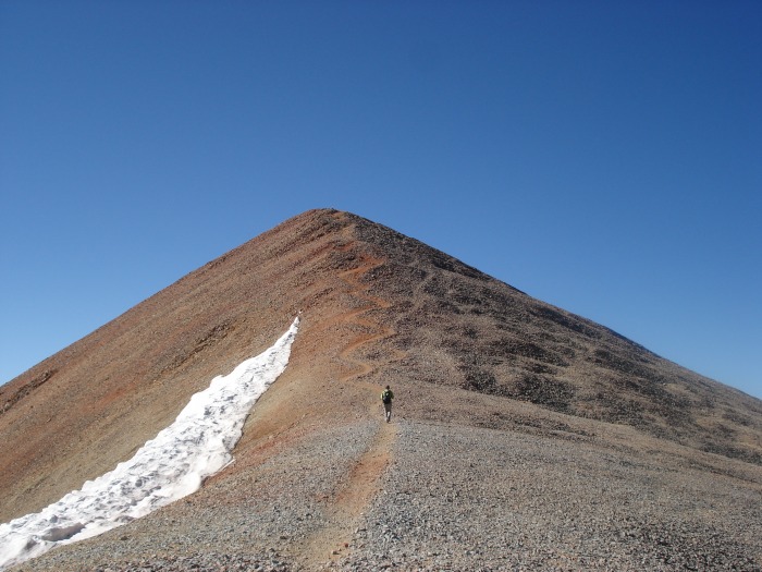
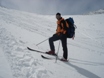
The final climb up to Handies.
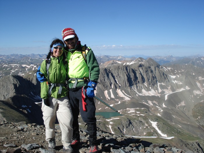
We summited at 8.30 am (I think this is our record for the earliest summit).
We spent about half an hour at the top (the wind was starting to blow hard) and then we headed down.
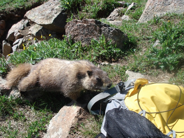
Marmots are really curious...
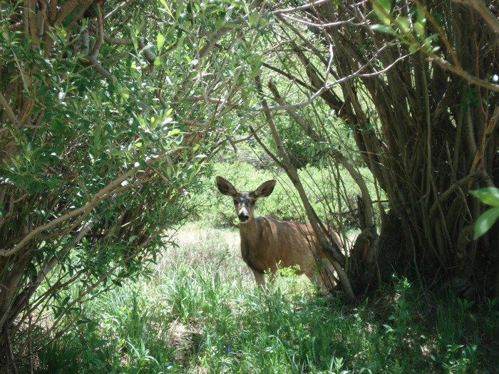
And so are deer...
It took us about 1 hour and a half to get back to our campsite. Took a rest and then packed and headed down to start going up on the other side (Grizzly Gulch) since the next goal was Redcloud and Sunshine the next day.
We made it to the junction of the trail and the creek, at about 11,300 feet and camped there.
Next day (4th of July) we started at 6.45 am from our campsite. These guys were doing an amazing job:
The hike up to Redcloud was enjoyable and not too steep.
With some nice views of Wetterhorn and Uncompahgre.
The final climb to the top of Redcloud.
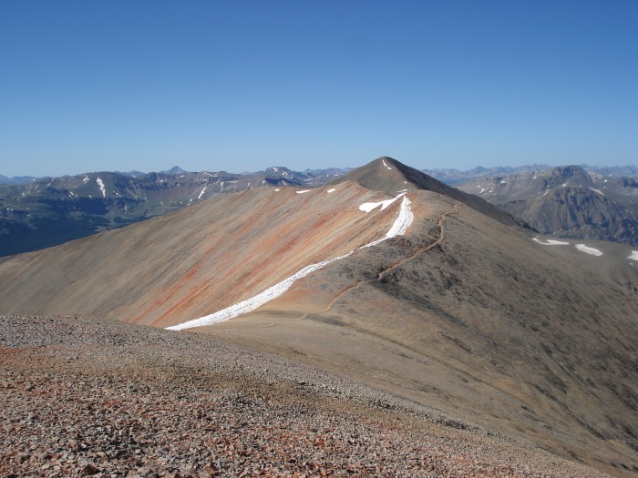
We made it to the summit at exactly 9am. We could see the trail going up to Sunshine, our next goal for the day. After a quick snack we were headed off to Sunshine.
It took us about one hour from Redcloud.
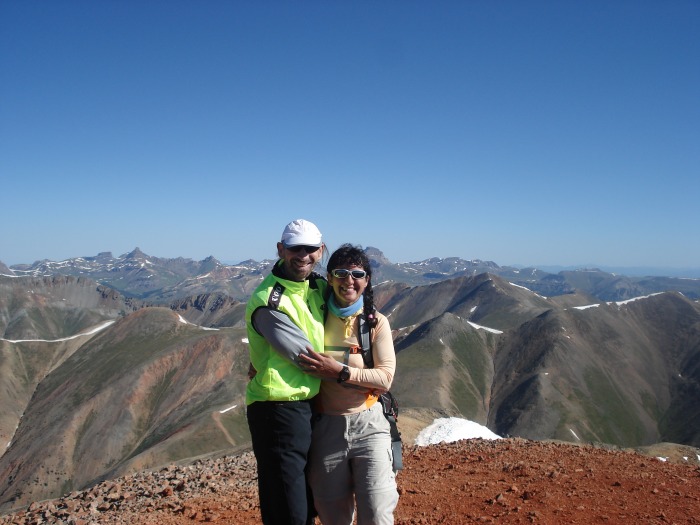
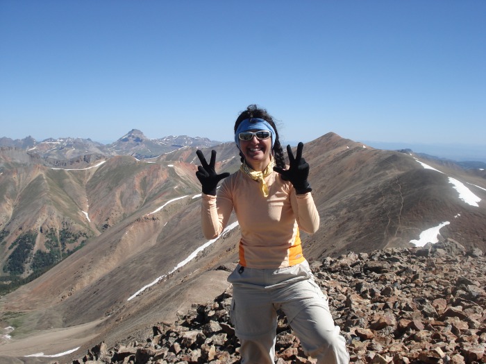
My 33 14er!
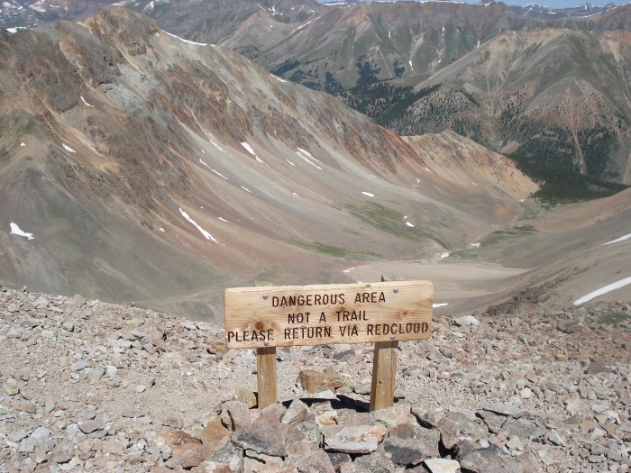
We spent some time at the top since there was supposed to be a flyover but it never happened. We met San Juan Ron at the summit, it was nice to meet you! As well as other folks there who were waiting to see the flyover. Well, after waiting for almost one hour we decided to head down. We had read about an alternate route going down to the valley without having to climb Redcloud again, and sure enough there was a sign for it:
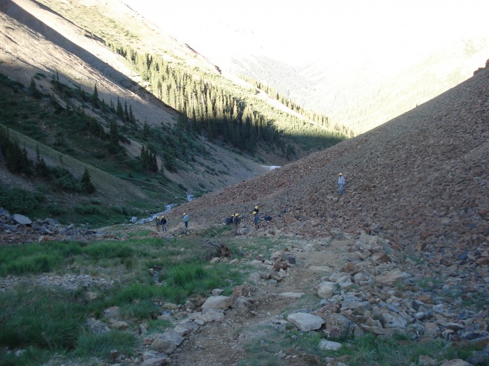
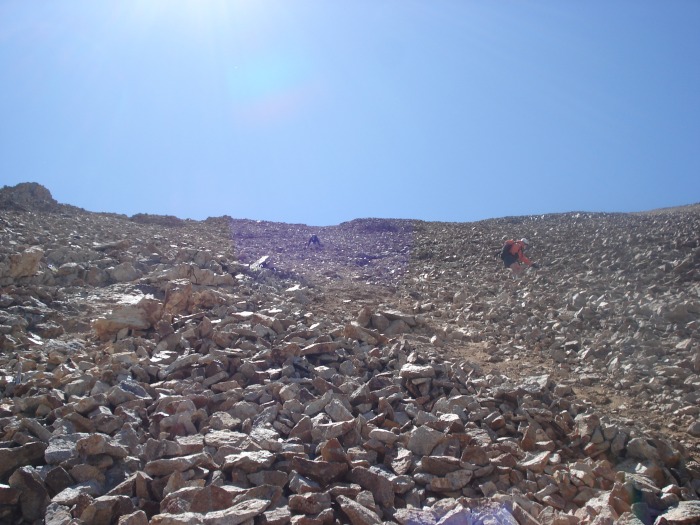
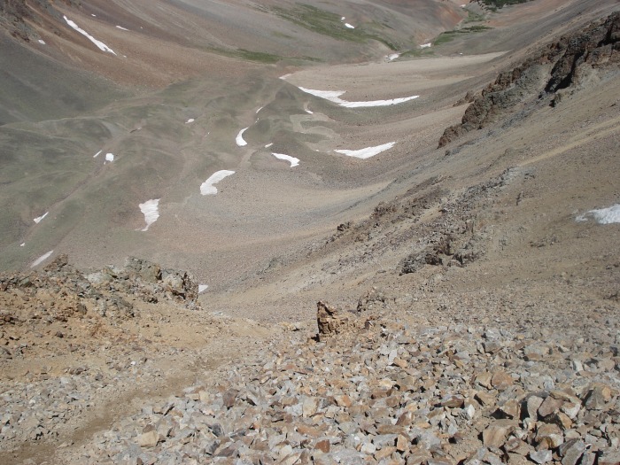
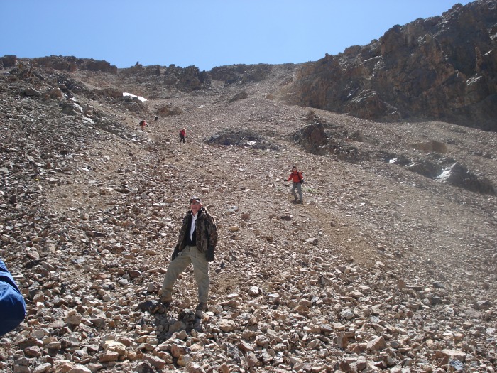
It looked steep and loose, but San Juan Ron had done this route before and said it saves quite a bit of hiking time. So we decided to give it a try, why not? Mike went first leading the group that now had followed behind us. It was not that bad, some loose rocks along the way, a couple of butt glissades, but we made it down safely. There are some pics I took of the group that went down with us.
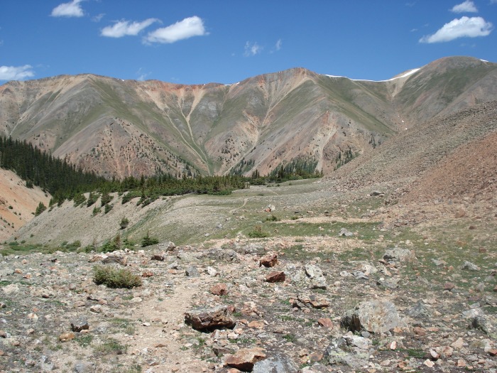
Once down it was an easy trail to follow along the valley, and in fact it is a pretty route, we were glad we chose to go down this way. Thanks again San Juan Ron for the tip!
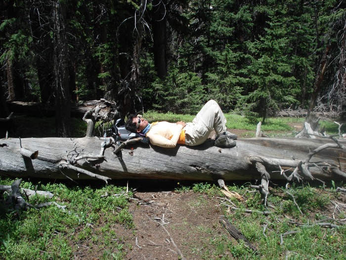
A nap felt good, I slept like a log...
We encountered a rare wild red columbine. Flowers were everywhere...
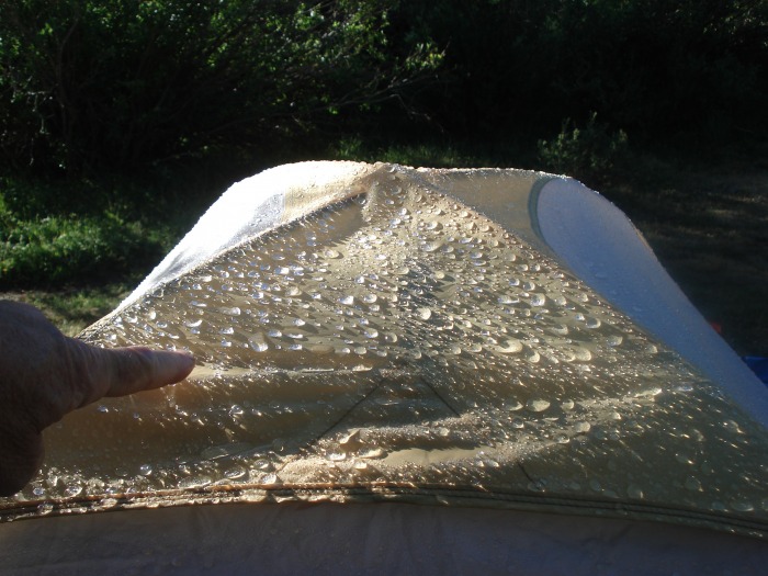
We finally made it back to our campsite and rested for the day. Oh, the next day a snow storm had passed by and left ice on the tent! I thought it was summer...
Thumbnails for uploaded photos (click to open slideshow):
Hi Kitten, nice to meet you and Longmont Mike. I still haven‘t been able to get to the bottom of the non-existent flyover. The Lake City locals are as mystified as me. At least the fireworks show was great! I also forgot my flag that I had placed on Sunshine. Great trip report! (go Spain!). SJ Ron
I was down there a few years ago and the rumored flyover never happened that day either. Maybe it‘s a recurring rumor? I wonder if they ever actually have one. Apparently there were a ton of you I barely missed by being next door over on 13,832 and 13,811.
The flyover has occurred the past couple of years -- and I had heard from several hikers about the great view from Sunshine when the flyover occurred. But, alas, for some undisclosed reason, no flyover as planned this year. Maybe next year, maybe not. But the hike is always beautiful.
Caution: The information contained in this report may not be accurate and should not be the only resource used in preparation for your climb. Failure to have the necessary experience, physical conditioning, supplies or equipment can result in injury or death. 14ers.com and the author(s) of this report provide no warranties, either express or implied, that the information provided is accurate or reliable. By using the information provided, you agree to indemnify and hold harmless 14ers.com and the report author(s) with respect to any claims and demands against them, including any attorney fees and expenses. Please read the 14ers.com Safety and Disclaimer pages for more information.
Please respect private property: 14ers.com supports the rights of private landowners to determine how and by whom their land will be used. In Colorado, it is your responsibility to determine if land is private and to obtain the appropriate permission before entering the property.