Download Agreement, Release, and Acknowledgement of Risk:
You (the person requesting this file download) fully understand mountain climbing ("Activity") involves risks and dangers of serious bodily injury, including permanent disability, paralysis, and death ("Risks") and you fully accept and assume all such risks and all responsibility for losses, costs, and damages you incur as a result of your participation in this Activity.
You acknowledge that information in the file you have chosen to download may not be accurate and may contain errors. You agree to assume all risks when using this information and agree to release and discharge 14ers.com, 14ers Inc. and the author(s) of such information (collectively, the "Released Parties").
You hereby discharge the Released Parties from all damages, actions, claims and liabilities of any nature, specifically including, but not limited to, damages, actions, claims and liabilities arising from or related to the negligence of the Released Parties. You further agree to indemnify, hold harmless and defend 14ers.com, 14ers Inc. and each of the other Released Parties from and against any loss, damage, liability and expense, including costs and attorney fees, incurred by 14ers.com, 14ers Inc. or any of the other Released Parties as a result of you using information provided on the 14ers.com or 14ers Inc. websites.
You have read this agreement, fully understand its terms and intend it to be a complete and unconditional release of all liability to the greatest extent allowed by law and agree that if any portion of this agreement is held to be invalid the balance, notwithstanding, shall continue in full force and effect.
By clicking "OK" you agree to these terms. If you DO NOT agree, click "Cancel"...
Memorial Day Weekend Mission: climb El Diente and Mt Wilson
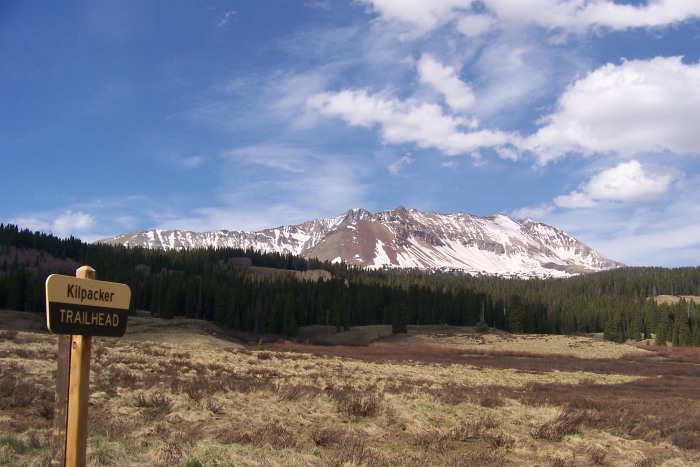
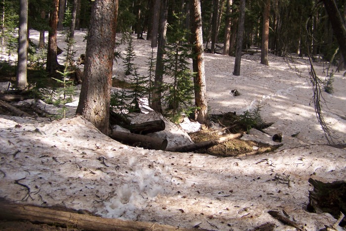
The game plan was to get to Navajo Lake Friday night and have a few days to attempt these peaks. Our intended approach was parking at the Kilpacker Trailhead and joining up with the Navajo Lake Trail for a 6 mile or so backpack (which I wrongly thought was only 4.5 miles). The trailhead is dry but we had the pleasure of hiking in an additional 2ish miles due to an suv blocking the road. The trail is probably half dry and half covered in snow drifts. Due to a number of factors (most notably the two just mentioned) the hike in was both longer and harder than we thought and we camped roughly 1.5 miles from the lake Friday night. Arriving at the TH - EL D in view Snow drifts on the hike in
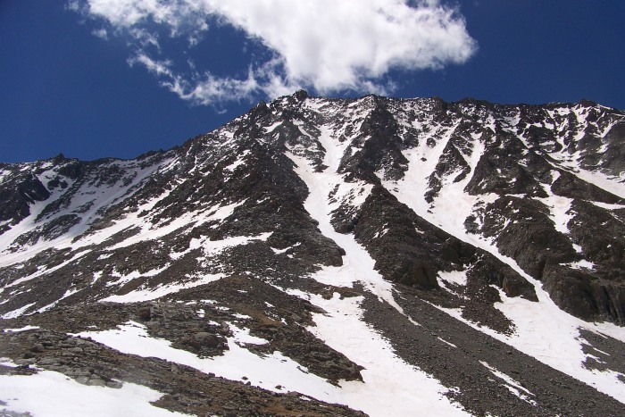
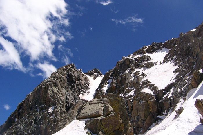
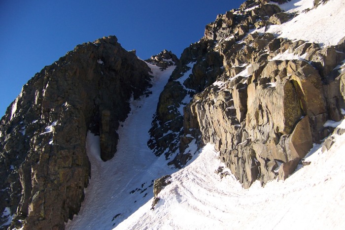
On Saturday morning we got a pretty late start and leisurely made our way to the lake. We arrived at 11am. I dumped my pack and grabbed my climbing gear and decided to head on up into the upper basin to scout out conditions and if comfortable and safe get high on a mountain. I was not expecting much departing at this hour and I did not have any illusions of a summit. That changed when I got into the upper basin and saw that the North Buttress on El Diente was dry. I decided to climb up and have a look around. It was fun climbing on the buttress and I made quick work of it. I got to a point roughly 100ft below the summit and had to decide if crossing a sun exposed snow section with some dropoffs was worth the risk of getting the summit. I chuckled to myself (as this was not the first time El Diente denied my access this close to the summit) and made the relatively easy decision to head down. At my high point on the buttress I noticed and followed some boot tracks to discover (in the new to me sense) a route up the mountain that linked a few couloirs. It seemed like an easy, quick, and safe way to ascend El D in the early morning hours. I named the gullies 1,2 and 3 (yea creative) - Gully 1 was the lowest and accessed from the basin. You ascend that and cut right into gully 2. Gully 3 (not visible from the upper basin) angles left toward the summit. It was a full on snow climb from the upper basin to the summit (skiable from the summit for those interested). This was to be the route of attack on Sunday. I high tailed it back to camp and counted the hours until my 3am wake up. I was very anxious to get some climbing in.
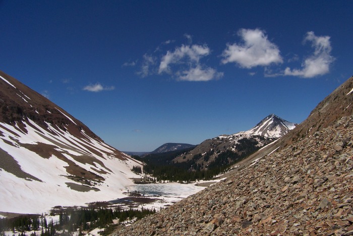
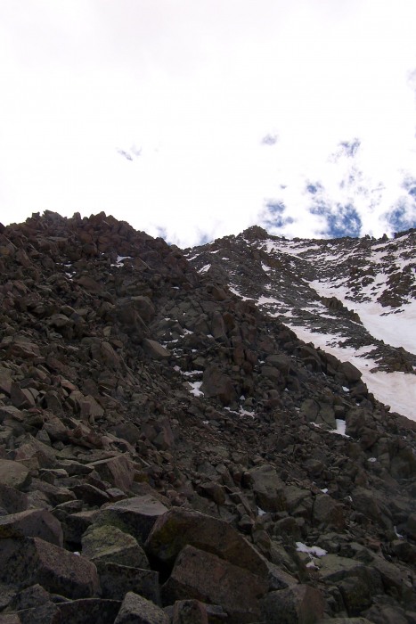
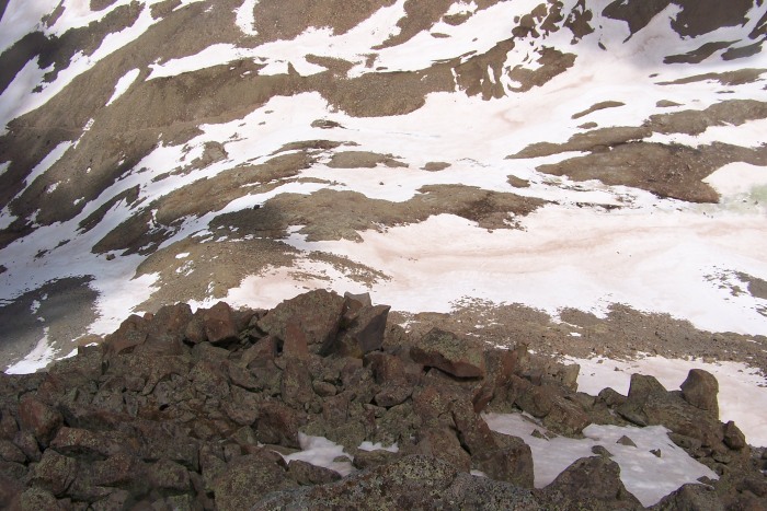
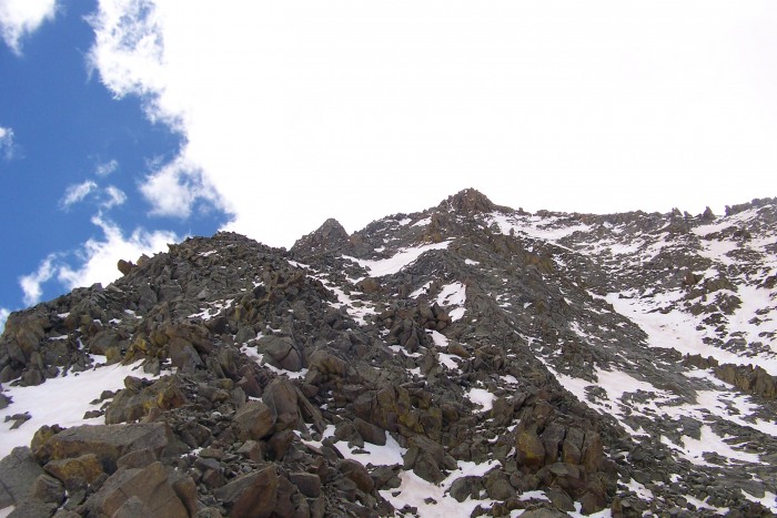
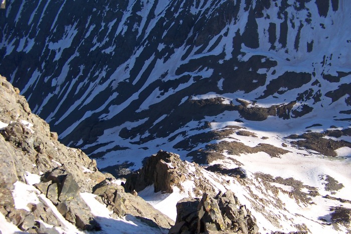
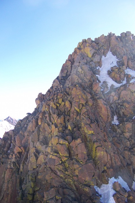
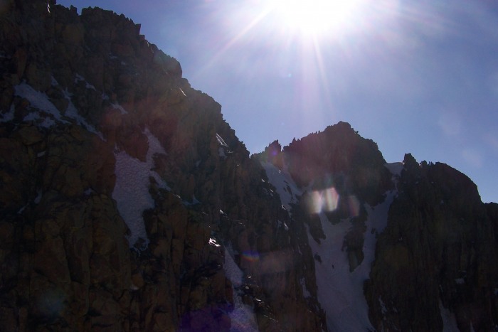
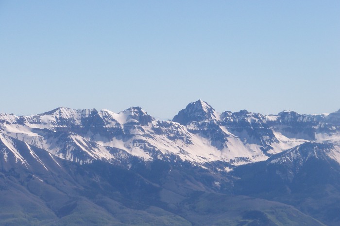
Some pics from Saturday: Looking back at the lake From the upper basin - it shows El Diente and the 2 routes I tried on it. The rock buttress left of center and 2 of the gulli A better look at the gullies (center - Gully 1 lower and Gully 2 connects off to the right) The terrain on the buttress - large relatively solid blocks High on the buttress looking down more buttress fun First glimpse at the ridge leading over to Mt Wilson Last 100 ft of El Diente - summit can be accessed via that gully on the left (with boot prints) or across snow and up rocks
Sunday the alarm went off and I was chomping at the bit to get high quickly so I wouldn't have to worry about the sun making the snow unstable as the traverse was now my only realistic option of getting both peaks this trip and I was concerned about descending Mt Wilson later in the day. As I was charging in an attempt to gain as much time high with solid snow my partner wasn't feeling it. He demonstrated quite a bit of drive making it to roughly 13,900ft on El D before calling it quits. I made pretty steady (but rather tedious) progress up the gullies and made it to my high point from Saturday a little after sun up. I followed the boot track up a gully and was at the summit. Nolan was in sight for most of the climb up and I waited for him on the summit for 20 minutes or so with a view where I could see the last few hundred ft. When he didn't show or respond to my calls I correctly guessed he turned back.
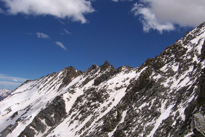
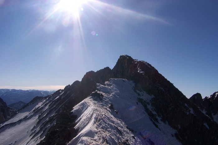
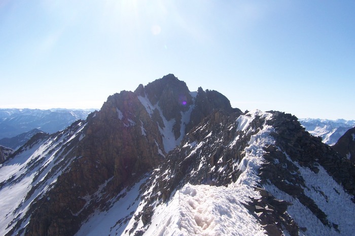
I enjoyed the traverse. I kept my crampons on the whole way (they were needed roughly 60% of the time). I'll let my pictures do the talking here.
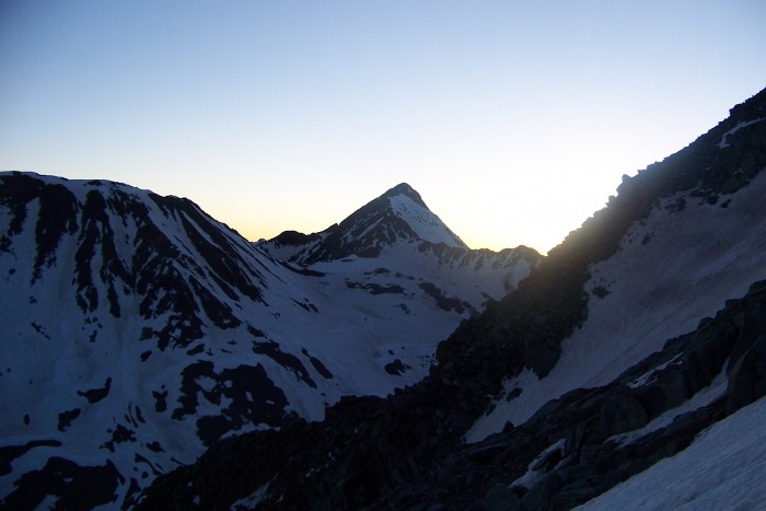
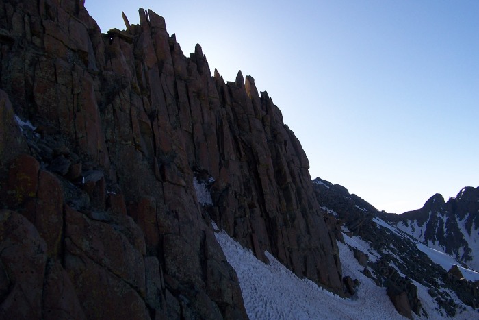
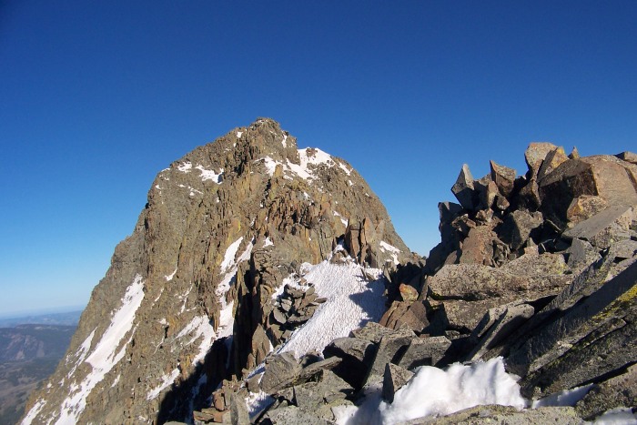
Wake up Wilson Peak The snow gully that turned me around on Sat - The last few feet before El Diente's summit The Shadow Traverse Looking down at my high point on the butress deep breath - ridge traverse time - with the prize - Mt Wilson on the end traversing below the organ pipes Looking back at El Diente - gotcha another fun obstacle to traverse around some ridge running The last bit involves a sharp dowclimb and then upclimb (the crux?) before traversing over to the left snow gully - hitting t The upclimb (crux?) - my first thought was left but that failed miserably so I went up to the right - success soo close
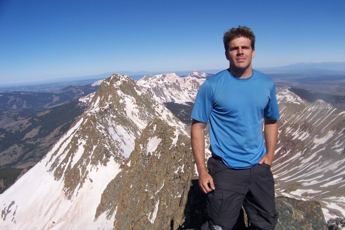
Some summit shots from Mt Wilson:
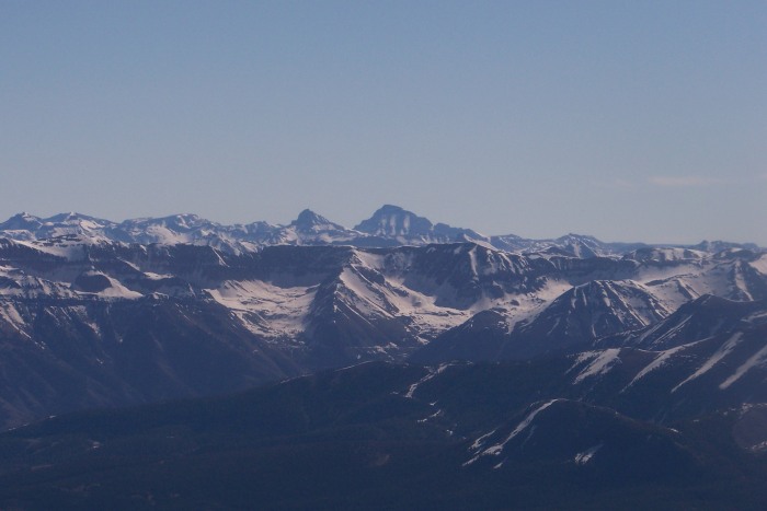
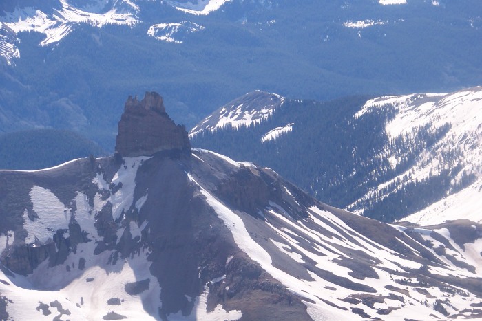
Atop Mt Wilson!! My finisher off yonder Lizard Head
Fortunately I was not alone on Mt Wilson and was able to get a decent summit shot (and assurance that the snow should be good for at least another hour or 2). It was the same couple who had put in the footsteps on El D the previous day - thanks guys for tipping me off to that route. I hung out for a few minutes and began my descent. My camera died here and I wasn't able to get any shots of Gladstone or Mt Wilson but I enjoyed the views nonetheless. I made it back to camp (after a detour in the upper basin) by 12 and was more than ready for a nap. We opted to hike out on Monday in order to enjoy one more night in Navajo Basin. The hike out was a lot more pleasant than the hike in even though I was exhausted. Thanks to the 2 guys who gave us a ride back to our car.
Thumbnails for uploaded photos (click to open slideshow):
I‘ve got to run to work right now, but I‘ll try to send you the shots from near the summit this evening. Great weekend in the Wilsons, we‘ve taken to calling the line on El Diente the ”Luttrell Line” after Easyrider, but I‘m sure locals have climbed and skied it before and we just don‘t know the name. One of my favorite lines to ski or climb all-time.
We were the two 4Runners at Kilpacker. We seriously thought about yanking that truck (from AZ with bald tires) off the road. It was gone by Saturday night.
Nice job on a solo Mt. Wilson.
Frank - It was my pleasure meeting you and Brittany up there. Whatever name that line gets it‘s a fun one. I‘ll pm you my email address so you can send the pics my way - thanks for that.
Nolan - wish you could have made it man - probably smarter to turn back.
Carl - looks like you guys had a blast on sunshine,redcloud, and handies - good luck on Lizard Head - that mountain looks intense
Joe, Matt, and Presto - thanks for the comments - looking to take it easy on Wetterhorn on a bluebird morning in July some time
Ryan - yea - that truck sucked - I was real happy to see people driving the road on Monday and had no qualms hitch hiking back to my car.
I agree, Wetterhorn is a fine peak to finish your journey on. Sorry I couldn‘t join, but RMNP is the only place in the world that could ever take priority over the San Juans (or free Chipotle). Glad everything worked out for you down there, lets get out on some scrambles this summer. I‘ll email you a few of my set dates thus far.
Kim, Yog, Nancy - Thanks for the kind words guys. It was a good time up there.
Brian - No worries on missing out on the fun - I‘m sure the park kept you plenty entertained. This trip definitely got me back in the mood to do some exposed scrambling - looking forward to getting out
Nice work! That looks like a good day. Certainly more successful than my attempt on the traverse... Killpacker seems like a good way to get in there late season. Did you descend Wilson into Killpacker, or roundabout through Navajo?
Frank, glad it went this time, because I would have felt really bad about my beta. I bet you guys were thinking I was just blowing smoke signals. Easier to put the puzzle together from the top down I think.
Easy Rider - as a secondary beneficiary to your beta - thanks. I descended into Navajo (as that was where we were camped) although I believe Ryan‘s group got Mt Wilson from Kilpacker (i‘m guessing I saw their ski tracks while i was up there)
Nice shots. Glad to see one of Lizard Head too, hope to get down there soon. Have fun on Wetterhorn. That will be an awesome one to finish on.
Caution: The information contained in this report may not be accurate and should not be the only resource used in preparation for your climb. Failure to have the necessary experience, physical conditioning, supplies or equipment can result in injury or death. 14ers.com and the author(s) of this report provide no warranties, either express or implied, that the information provided is accurate or reliable. By using the information provided, you agree to indemnify and hold harmless 14ers.com and the report author(s) with respect to any claims and demands against them, including any attorney fees and expenses. Please read the 14ers.com Safety and Disclaimer pages for more information.
Please respect private property: 14ers.com supports the rights of private landowners to determine how and by whom their land will be used. In Colorado, it is your responsibility to determine if land is private and to obtain the appropriate permission before entering the property.