Download Agreement, Release, and Acknowledgement of Risk:
You (the person requesting this file download) fully understand mountain climbing ("Activity") involves risks and dangers of serious bodily injury, including permanent disability, paralysis, and death ("Risks") and you fully accept and assume all such risks and all responsibility for losses, costs, and damages you incur as a result of your participation in this Activity.
You acknowledge that information in the file you have chosen to download may not be accurate and may contain errors. You agree to assume all risks when using this information and agree to release and discharge 14ers.com, 14ers Inc. and the author(s) of such information (collectively, the "Released Parties").
You hereby discharge the Released Parties from all damages, actions, claims and liabilities of any nature, specifically including, but not limited to, damages, actions, claims and liabilities arising from or related to the negligence of the Released Parties. You further agree to indemnify, hold harmless and defend 14ers.com, 14ers Inc. and each of the other Released Parties from and against any loss, damage, liability and expense, including costs and attorney fees, incurred by 14ers.com, 14ers Inc. or any of the other Released Parties as a result of you using information provided on the 14ers.com or 14ers Inc. websites.
You have read this agreement, fully understand its terms and intend it to be a complete and unconditional release of all liability to the greatest extent allowed by law and agree that if any portion of this agreement is held to be invalid the balance, notwithstanding, shall continue in full force and effect.
By clicking "OK" you agree to these terms. If you DO NOT agree, click "Cancel"...
First off, many thanks go out to Bill for putting this route up, and for Dancesatmoonrise for posting the excellent trip report last month. Both were tremendous helps and provided much encouragement.
After a great 2009 hiking season, I found myself moved from Denver to Houston. I have been training hard to maintain hiking fitness, but was very apprehensive approaching this hike. I am not sure that my schedule would allow for harder training; if this hike were a failure (due to fitness), my hopes of completing the 14ers may be on indefinite hold.
I had this weekend scheduled to be in Denver, so my thoughts centered around 3 options; Humboldt if the weather was great, Quandry if the weather was iffy, and Bear Peak (Boulder) if the weather was poor. The weather turned out to be great. As much as I would have liked to join the spring gathering, I didn't want to be on that summit wondering if I could have done Humboldt, so Friday afternoon found me driving south on I-25 for my first attempt at a Sangres peak versus west on I-70 or 285. All of my normal hiking buddies had other plans, so this would be a solo spring attempt.
I scouted the winter trailhead and the mountain on Friday afternoon, then settled in for an early sleep at the hotel. One benefit of living on Central Time is that it is easier both to get to sleep and to wake up early. Saturday morning, the alarm went off at 3:45am and I was at the trailhead just before 5am. I was comforted to see another car parked, but that guy had a snowmobile and had plans to ski Humboldt if the conditions looked good. He passed me later on the road, and I never saw him (or anybody else) for the rest of the day.
With the microspikes, walking up the road to the Rainbow trail was pretty easy. The surface was not smooth, and occasionally I found myself rut hopping to find the easier steps. If you want to know the meaning of "the grass is always greener", try walking up a icy and snow packed road looking for the smoothest parts.
I got to the Rainbow Trail junction at about 6:15, right about on my schedule. I was hopeful to shut off the headlamp and by then there was plenty of morning light. I stashed a bit of water, put on the snow shoes, and took off. After crossing the bridge, I probably left the trail a bit too soon and ascended a pretty steep slope. At times I was crawling as my shoes didn't give me enough traction. On the descent, I went further to the east and the slope was much more manageable.
As Bill describes, the first part of the route is fairly tame, the trail was pretty obvious. Thanks again to the previous hikers
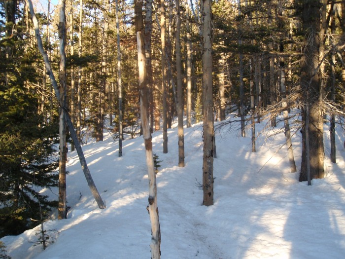
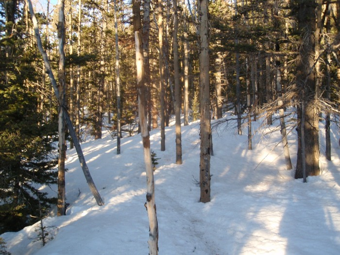
When the route gets steeper and the trees thicken, I found the going quite a bit slower, but the trail was still evident. At times it branched a little; I always took the dirtier looking one, and it seems they always joined back up. Once the trees thinned out, so did the trail, but as the route suggests, I just headed west and up and soon found tree line.
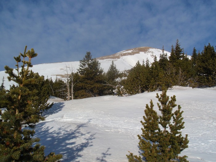
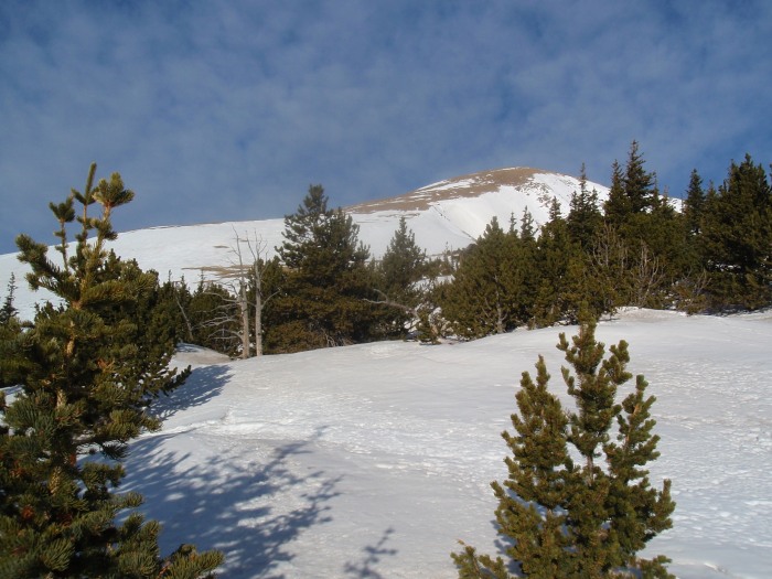
Coming out of the trees, getting a look at the next section
At tree line, there is a nice scrub tree that has some fallen trees around it. I took a rest break there, stashed the snow shoes under a log, put the spikes back on and headed up. There was a snowfield to cross down low, but up higher on the slope, most of the snow was gone. Gaining the 1,200' here was a bit of a grind; the top of this area seemed to roll away as I climbed, but these sections are kind of a nice way to eat up elevation.
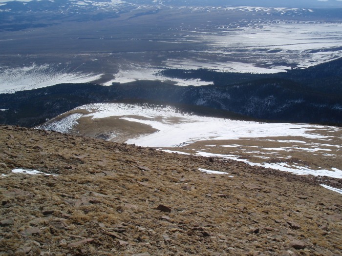
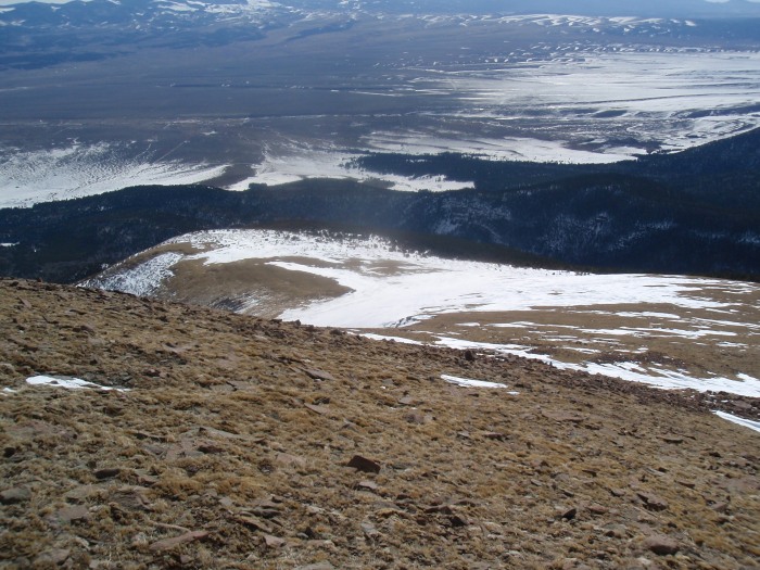
Looking back down toward tree line, showing the snow field down low and the dry slope up high.
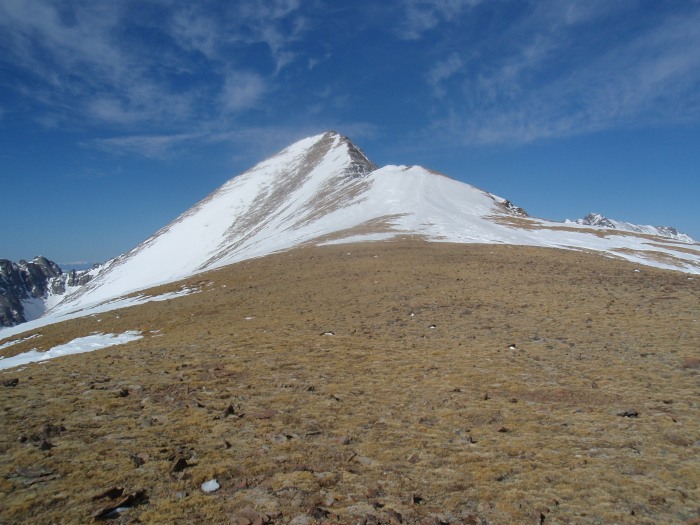
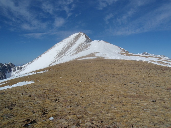
Finally, I reached the top and saw the summit and the remainder of the route. It looks a bit snowy, but not really once I was on it. With the snow on the slope to the hump, as Bill mentions, the climbing was easy
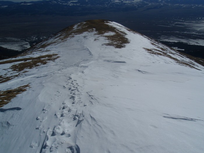
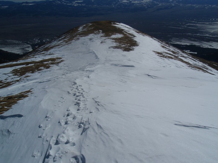
Looking back down on the snow slope; very easy walking
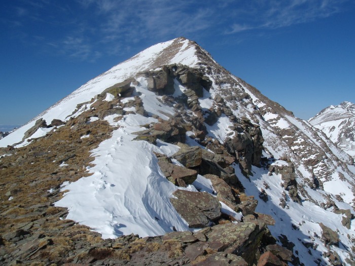
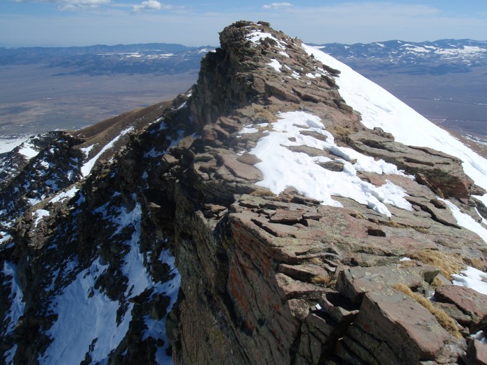
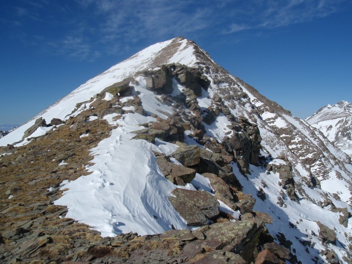
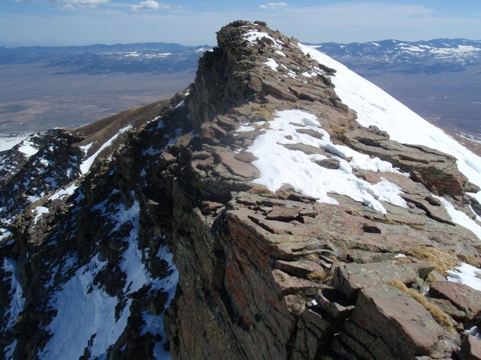
A closer shot at the terrain along the narrow ridge. This is pretty representative of the conditions all the way to the summit; mostly dry with a bit of snow here and there which can be avoided.
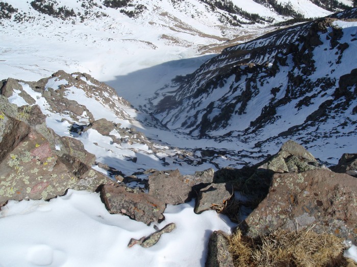
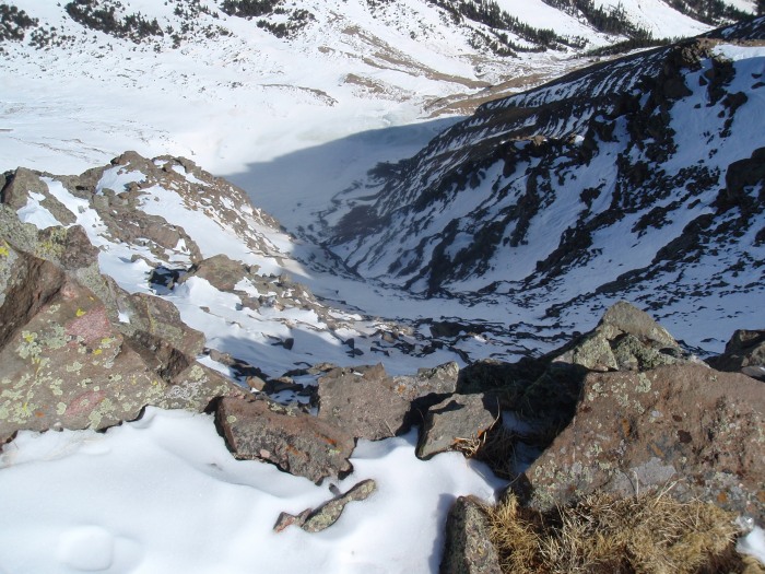
Looking down to the north
I found the ridge to be very enjoyable. It would have been much more challenging loaded with snow, but mostly dry and it was very stable, fairly wide, and lot's of fun. I mostly stayed about 3 - 10 feet to the left of the edge. I never felt the need to put the poles away, and rarely had to put my hand out for support.
Getting closer, still mostly dry
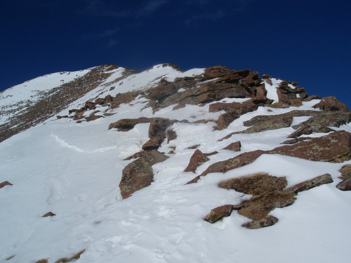
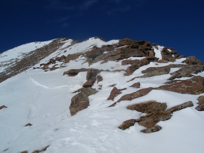
Looking up at the final section, it is much dryer than it looks
I could feel the affects of altitude a bit. My headache came a bit earlier (usually comes on the descent) and I was stopping every 50 - 100' for a quick breath. Considering that this was over 5,000' up and 6 miles in, I was happy with my performance. Finally, just after 10am, I reached the summit.
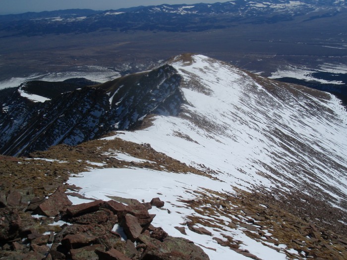
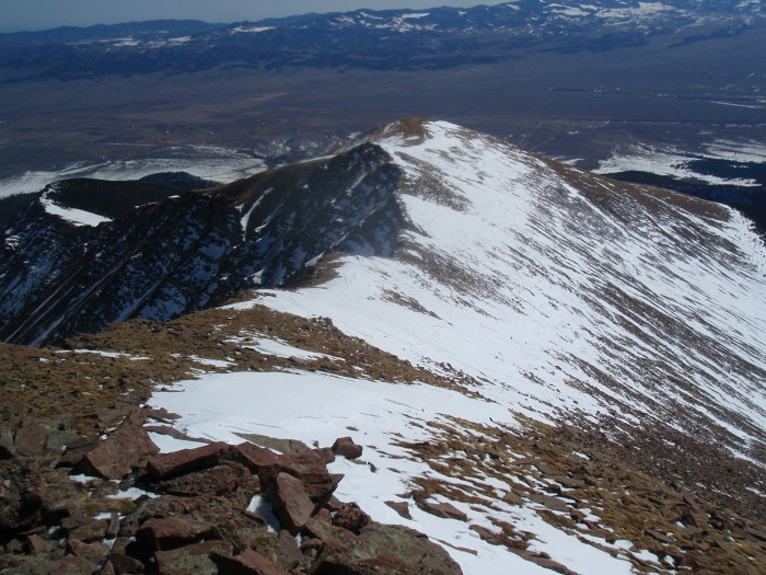
A quick glance back at the terrain up high
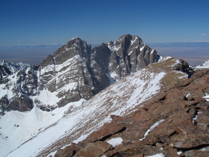
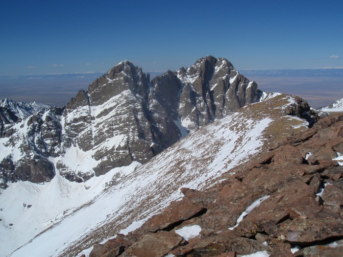
The great thing about this route is that you don't see the Crestones until the summit. What a treat. That was the first time I had seen them in person, and they are incredible
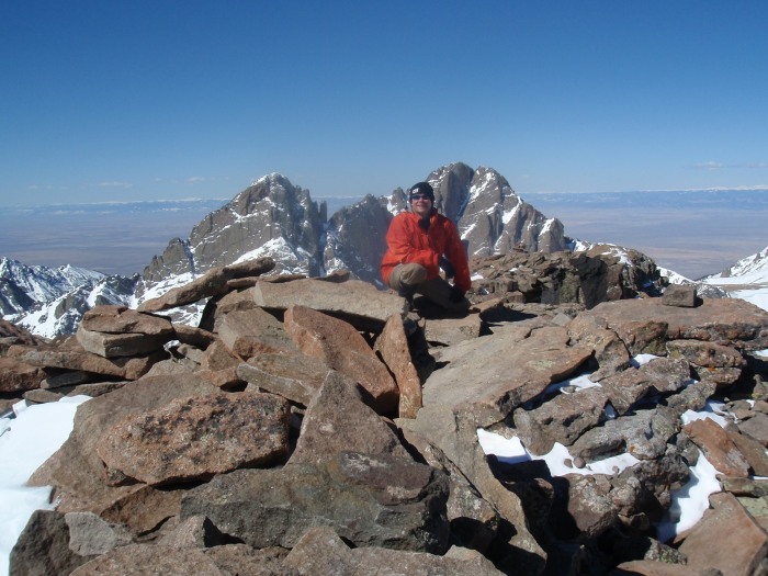
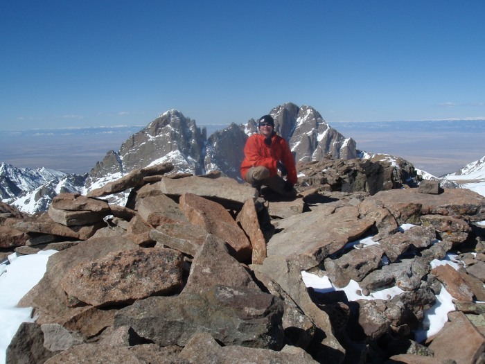
A tired but happy me on the summit
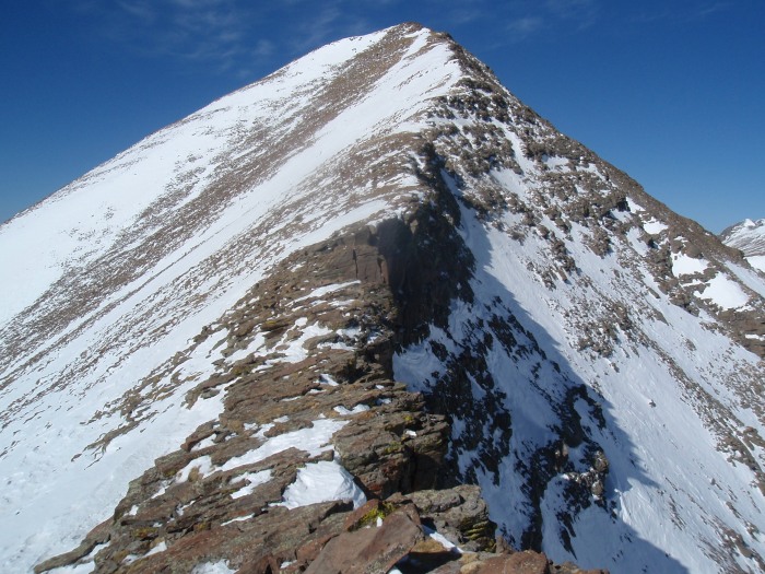
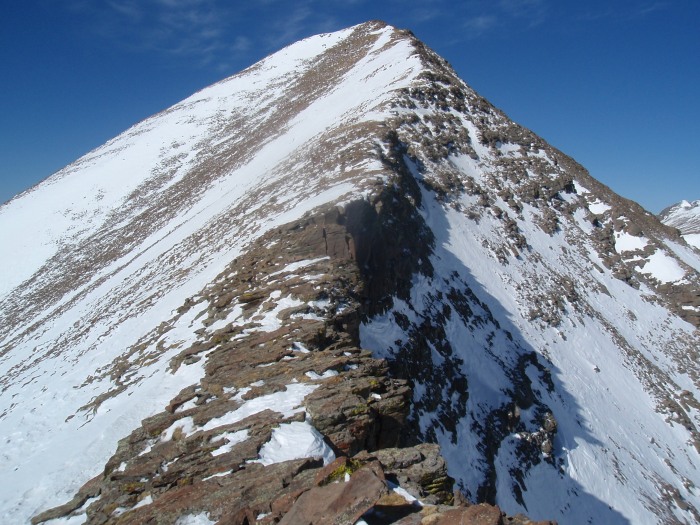
After some rest, some food, and some hot chocolate, I headed back down. Again, the return off the summit was fun, mostly solid rock, and friendly soft snow. The following shot may be my favorite of the day, showing the drops to the north, but the mostly dry area right on the ridge, with only a bit of friendly snow.
Tree line is where the reality of such a warm, nice day set in. Post holing to the knee with snowshoes is not a fun way to end a great hike. It took me nearly as long to get back to the Rainbow trail as it did earlier to get up it. Sliding around on the snow left me with some great souvenirs in the form of blisters on my feet, but eventually, I got back to the road.
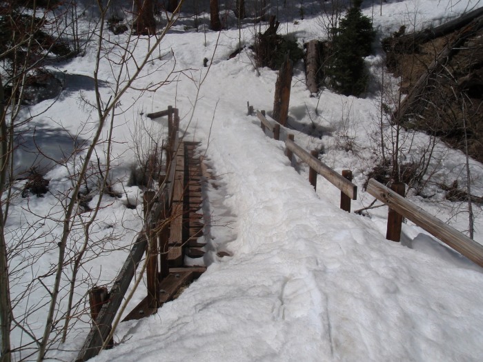
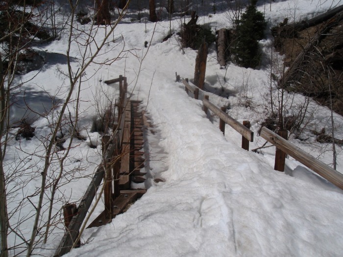
The bridge on the rainbow trail, that snow band is much harder with snow shoes than it might look from the photo. My catwalk for the day.
Back at the road, grabbed my water and headed down. The snow was really soft, much post holing left, but eventually got back to the car. I was very tired, my feet were very sore, but it felt great to be back in the mountains, and I had the confirmation that my training has maintained the legs and lungs that I will need this summer.
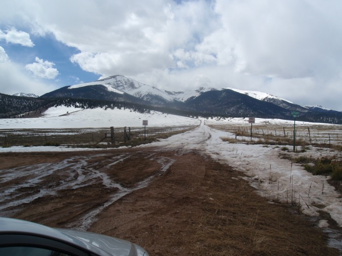
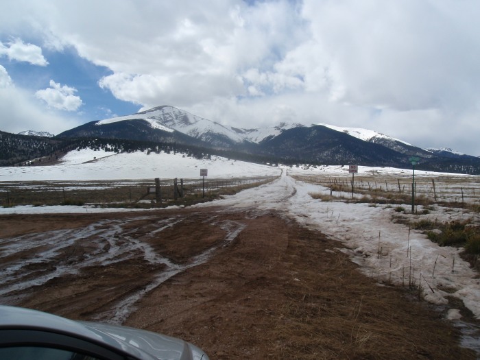
Looking back up the road shows the snowmelt and the runoff.
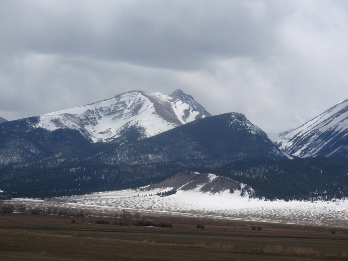
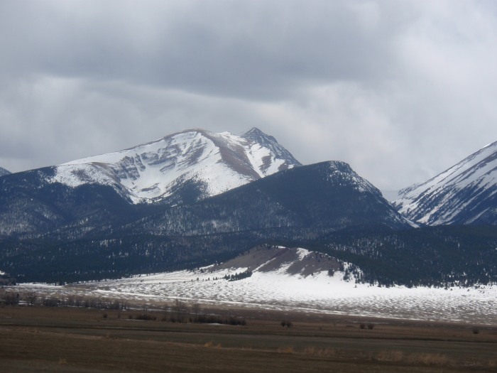
On the road out, a quick shot looking back on the mountain. I am glad I got an early start; as the clouds were definitely moving in.
A great hike, notwithstanding the soft snow below tree line. I am very surprised that this route is not more popular in the summer. I probably think this on almost every mountain I have hiked, but that ridgeline above about 13,200' may be one of my favorite stretches of ridge walking and 14er trail to date. I am glad that I attempted this route, and felt very grateful for my successful introduction to the Sangres.
Thumbnails for uploaded photos (click to open slideshow):
amazing how fast that snow has melted on that east ridge, it was nearly covered when we did it last month and the SE face had much better coverage. Nice pace by the way, and I agree, the soft snow down low is NOT fun after a long day.
Sounds like you had some great Spring conditions. We were over on Shavano and Tabeguache a day later, and enjoyed a similar afternoon punch-fest slog on the descent.
Yes, that east ridge of Humboldt was a real favorite. We were blessed with a little spice at the end of winter: winds and fresh snow - some of the narrow chimneys at the tops of the steep north-side couloirs were bridged with snow, adding a little excitement. Fortunately, the winds were out of the north.
I‘ll bet with the road closure and the TRs this season, the east ridge will see more action this summer. Enjoyable route, and enjoyed seeing it through your TR and photos.
PS - Doesn‘t look like the hyperbaric treatment has has held you back at all. Good trip times, keep up the good work.
Looking forward to hiking with you at some point this summer.
Caution: The information contained in this report may not be accurate and should not be the only resource used in preparation for your climb. Failure to have the necessary experience, physical conditioning, supplies or equipment can result in injury or death. 14ers.com and the author(s) of this report provide no warranties, either express or implied, that the information provided is accurate or reliable. By using the information provided, you agree to indemnify and hold harmless 14ers.com and the report author(s) with respect to any claims and demands against them, including any attorney fees and expenses. Please read the 14ers.com Safety and Disclaimer pages for more information.
Please respect private property: 14ers.com supports the rights of private landowners to determine how and by whom their land will be used. In Colorado, it is your responsibility to determine if land is private and to obtain the appropriate permission before entering the property.