Download Agreement, Release, and Acknowledgement of Risk:
You (the person requesting this file download) fully understand mountain climbing ("Activity") involves risks and dangers of serious bodily injury, including permanent disability, paralysis, and death ("Risks") and you fully accept and assume all such risks and all responsibility for losses, costs, and damages you incur as a result of your participation in this Activity.
You acknowledge that information in the file you have chosen to download may not be accurate and may contain errors. You agree to assume all risks when using this information and agree to release and discharge 14ers.com, 14ers Inc. and the author(s) of such information (collectively, the "Released Parties").
You hereby discharge the Released Parties from all damages, actions, claims and liabilities of any nature, specifically including, but not limited to, damages, actions, claims and liabilities arising from or related to the negligence of the Released Parties. You further agree to indemnify, hold harmless and defend 14ers.com, 14ers Inc. and each of the other Released Parties from and against any loss, damage, liability and expense, including costs and attorney fees, incurred by 14ers.com, 14ers Inc. or any of the other Released Parties as a result of you using information provided on the 14ers.com or 14ers Inc. websites.
You have read this agreement, fully understand its terms and intend it to be a complete and unconditional release of all liability to the greatest extent allowed by law and agree that if any portion of this agreement is held to be invalid the balance, notwithstanding, shall continue in full force and effect.
By clicking "OK" you agree to these terms. If you DO NOT agree, click "Cancel"...
Marble Mountain - 13,266'
South Colony Road Winter Trailhead at County Road - 8,500'
Roundtrip - 11 to 11.5 miles
5000' vertical with approximately 250' added for loss and gain at Point 10,775.
6.5 hours from winter TH to Summit.
3.25 hours return.
The weather was predicted to be better in the Westcliffe area than other peaks I have been looking at. I had been down to the South Colony Road a month ago and decided to go for a longer more difficult hike trail braeking and more vertical). The route to Marble is not technically challenging but the physical challenge would be there with the amount of snow and breaking trail up the ridge through the trees.
A month ago I headed up the road to the Rainbow Trail and up the 300-400 feet to the ridge. I set in a track up to Point 10,775. The snow depth and the bad weather ended that day. I was pleasantly suprised that I was able to find the trough from the previous effort on this day. The snow had settled and even consolidated some since the previous hike.
Arrival and it may be a good day, maybe.
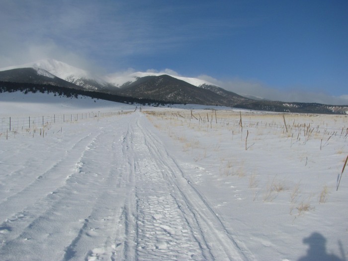
Looking from my parking spot.
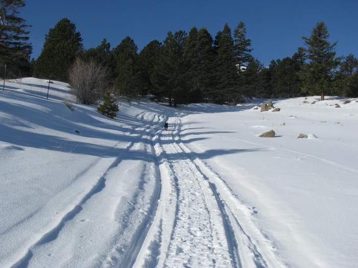
Looking back at parking spot.
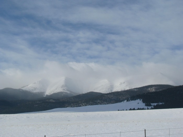
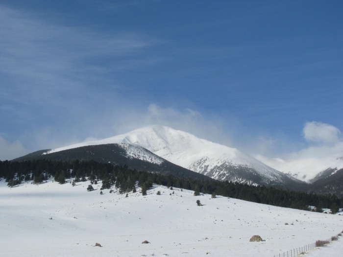
Looking toward Humboldt and Marble.
Thanks to the snowmobile that packed the road up to and past the Rainbow Trail turnoff.
Forest Boundary.
Rainbow Trail and the fun begins.
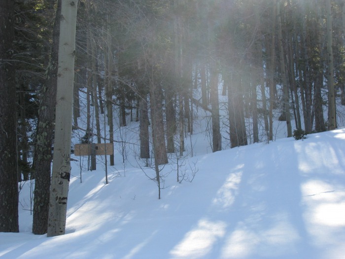
Turn right at the sign and up to the ridge.
On the ridge looking toward Marble. Still nice.
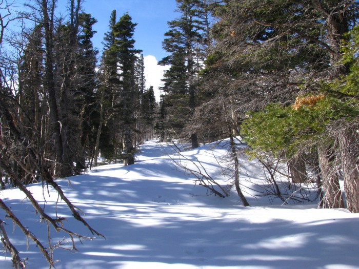
A good picture of the trough from my previous work. I found it at the bottom of the ridge and followed it for the most part to where I had stopped. It had taken an hour and a half to get 6 or 7 tenths of a mile last time. I was able to shave off an hour this time.
Marble.
Looking back down the trail. The next 1000' up to tree line was a grind. 6" to 18" deep snow to break through, not terrible but still work. It was mostly powder.
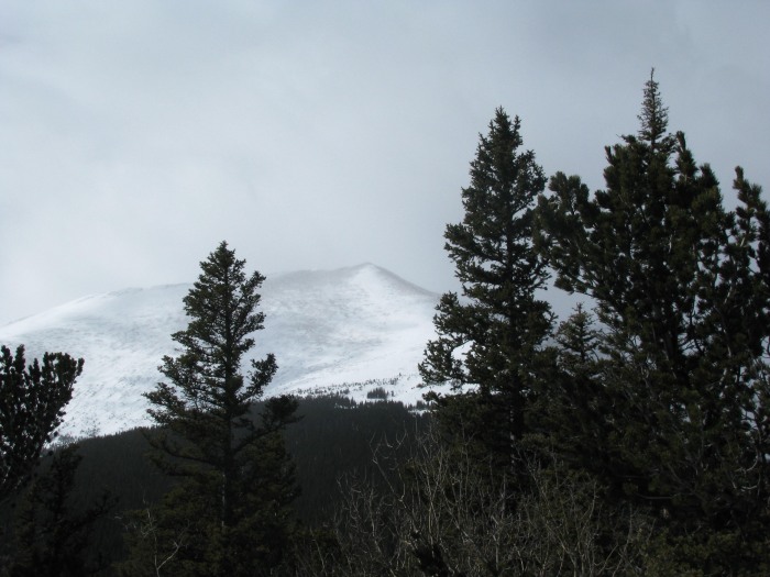
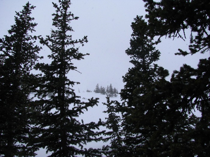
What started out looking like a great day turned to snow and clouds with the wind picking up.
Where did the nice weather go? Okay the trees were already leaning that way. But it was windy.
Breaktime.
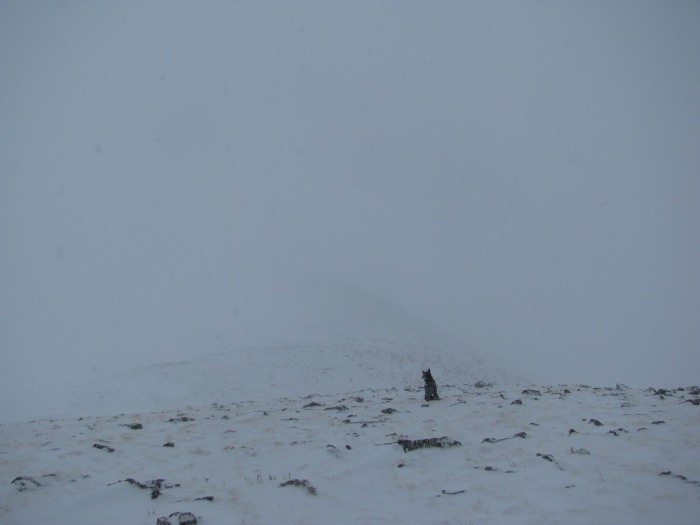
I was doing my Smeagol/Gollum routine here. The wind was blowing so hard once out of the trees and with the snow I could not see my boots. So the Gollum part is saying "we hates it, we hates it." Then the wind would stop and the Smeagol part would say "the ridge is our friend, nice ridge". We did that for a while. Then the wind gods decided to let up and for most of the way to the top it wasn't too bad with only the occasional 30 mile per hour gust.
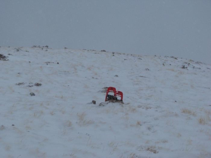
The ridge started out steeper, then relented. Dropped off snowshoes.
More ridge and more ridge.
The summit at last.
The Crestones??
Take look at KBaker's report for some great winter Crestone pictures. I was looking forward to seeing them in person but it wasn't to be.
Thumbnails for uploaded photos (click to open slideshow):
The lower peaks don‘t usually get the press clippings. I was feeling good to get in under the wire too as the weather kept getting more and more socked in and snowy. Made it back at what little light there was left and the snow was accumulating a bit.
that you've been doing this winter!
It's a pleasure to see some less popular, non-14er route options.
Way to get after it! Your dog is a tough, resilient partner!
Happy hiking and thanks for the great reports! :D
Caution: The information contained in this report may not be accurate and should not be the only resource used in preparation for your climb. Failure to have the necessary experience, physical conditioning, supplies or equipment can result in injury or death. 14ers.com and the author(s) of this report provide no warranties, either express or implied, that the information provided is accurate or reliable. By using the information provided, you agree to indemnify and hold harmless 14ers.com and the report author(s) with respect to any claims and demands against them, including any attorney fees and expenses. Please read the 14ers.com Safety and Disclaimer pages for more information.
Copyright: Route information, text, risk factors, maps, GPX files, charts, photos, 14ers.com-created map imagery, flythroughs, and other content provided in this route description are copyrighted by 14ers.com and may not be copied, reproduced, republished, distributed, modified, or used to create derivative works without prior written permission.
Please respect private property: 14ers.com supports the rights of private landowners to determine how and by whom their land will be used. In Colorado, it is your responsibility to determine if land is private and to obtain the appropriate permission before entering the property.