
January 10th, 2010
"Lost Platte Peak" - 10,657'
TH: Brookside-Payne
Those in attendance: Greenhouseguy, Mike66 and Derek
Distance : Around 11 miles
Elevation : Around 3,100'
It seems odd that someone would spend weeks longing for health and recovery just for that chance to go out and torment their bodies some more. This thought ran through my head while trudging the last mile back to the TH in fading daylight. And yet here I was. It had been six or so weeks since my last night in the hospital, during which all I could think about was feeling good enough to get back to the hills. Browsing through every guidebook I owned for "hospital reading" didn't help matters either. Bit by bit, my laps around the hospital wing turned into laps around the block. Laps around the block turned into laps around the park. Finally, I was able to jump into some lower peaks around the Front Range, feeling stronger and stronger each time.
What I needed now was a way of proving to myself that I was really ready to get back to my normal hiking habits. An "entrance exam" to the higher peaks, if you will. "Lost Platte Peak" came to mind for a couple reasons. First, it was in the Lost Creek Wilderness, where you just can't go wrong. Secondly, the distance, elevation, and bushwhacking requirements in winter would make for a decent test in my endurance. So "Lost Platte Peak" it was.
"Lost Platte Peak" is located in the Platte River Mountains, which makes up much of the northern end of the Lost Creek Wilderness. Most of the peaks in the area are quite similar: broad slopes, rocky summits, and a lot of distance to cover to reach the summit. As with most Lost Creek destinations, navigation plays an important part in the tree covered wilderness. There isn't a ton of information out there on this peak, so hopefully I can provide some route information in case anyone has interest in trying it out.
After some PM's throughout the week, Greenhouseguy and Mike66 decided they were in for trying this peak as well. We met up at the Morrison Park-N-Ride and we took off down 285 to Bailey. The starting point normally used for this hike is the Brookside-Payne TH. To access, turn south onto Park County 64 and follow the road as it curves westward for a couple miles and the trailhead turnoff appears on the left.
Mike and Greenhouseguy had both decided to leave their snowshoes at home for this trip, and although I brought mine along I decided to leave them at the trailhead. Even in hindsight, I'm not sure whether this was a good or bad idea.

The start of the trail as seen from the Brookside-Payne TH (Photo by Greenhouseguy)

Along the Brookside-Payne Trail

Greenhouseguy and Mike along the first portion of Brookside-Payne Trail
We headed on the rerouted Brookside-Payne Trail. The first portion of the trail is really all over the place. Half the time it seemed we were headed in the opposite direction of our destination. The reason for this is that lower Payne Gulch contains private property, and the zig-zagging trail kept us above the gulch and on public land. After a little over a mile, we reached the intersection of the Brookside-McCurdy Trail. Following Brookside-McCurdy west would lead you to the saddle of "No Payne" and Payne Benchmark. As we had a different goal for this day, we continued south on the Payne Gulch Trail. (From the zigs and zags we had encountered thus far, my "internal compass" was leading me to believe following the wrong trail west was the way to go. Needless to say, be sure to check your "external" compass.)

Trail marker and intersection of Payne Gulch and Brookside-McCurdy Trail
After reaching the gulch, the trail straightened out in a SE direction. The hike up to this point is very mellow, and not a lot of elevation has been gained. Just after 2 miles, we passed the boundary and entered the Lost Creek Wilderness. Soon after the wilderness sign (approx. .25 miles) the trail drops into the gulch and ascends back out on the east side of the creek.

Crossing into the Lost Creek Wilderness (Photo by Greenhouseguy)

Trail just after crossing to the east side of the gulch
Reaching the east side of the gulch started our first real elevation gain of the day. The trail from the creek crossing to the saddle at 9890' wasn't horribly steep, but it was extremely consistent in its gain. Up until now, we had been able to follow decent tracks on the trail. However, soon after the creek crossing these tracks were beginning to fade slightly. This forced us to begin walking through some minimal fresh snow which slowed us up a bit from the pace we had previously been carrying.

Derek and Mike working up the trail just below the saddle. (Photo by Greenhouseguy)
We reached the saddle at 9890' before too long, and took a breather amongst the aspens. These aspens are also noted in Roach's route description as the point of departure from our trail. It was quite obvious that from this point on we would not have any type of path or tracks to follow for the remaining 1.25 miles.

The snow cover was beginning to increase slightly near the saddle. (Photo by Greenhouseguy)

Reaching the saddle at 9890'
Leaving the Payne Gulch Trail behind us, we headed due east towards PT 10,303'. According to Roach's book, this little ridge bump offered some great views of Windy Peak to the south. It was also on the ridge towards "Lost Platte Peak", so stopping at 10,303's summit seemed a logical idea. At this point, the snow was starting to deepen, and I found myself wishing I had my snowshoes. However would they have been worth hauling all the way up for just the remaining mile to the summit? Not sure.
After fighting awhile for a path through the brush and trees, we topped out on the little point. From 10,303', we were finally able to get a glimpse of our destination peak. As is common with Lost Creek peaks, sometimes it is hard to see the peak you are climbing until you are literally on it.

Greenhouseguy searching for the best way up to Pt. 10,303'

One of the rare bare patches near Pt. 10,303'

Mike and Greenhouseguy pausing for a bit on Pt. 10,303'.
Our first view of "Lost Platte Peak" from one of the many aspen groves along the ridge.
Reaching the saddle of 10,303' and "Lost Platte Peak" required us losing around 150' of elevation. This didn't seem like much, but fighting through the occasional knee deep snow slowed us down and really added to the exhaustion factor.
Little by little we trenched our way up the west slope of "Lost Platte Peak". Taking turns breaking through snow, we finally topped out on the summit. We weren't exactly sure which rocky patch represented the high point until we found the register on the southernmost point. After a quick signing of the register (which was populated by the "usual suspects" of the Lost Creek Wilderness registers) we took some time to enjoy our hard earned view. Windy Peak looked massive to the south, and the ever familiar Bison Peak summit peeked out from the southwest. To the southeast, "The Castle" looked impressive guarding Wellington Lake.

Derek heading up the final ascent to the summit (Photo by Greenhouseguy)

A final but optional scramble to the summit. The summit point is easily reached by wrapping around the left side of this picture.

Mike66 topping out on the summit of "Lost Platte Peak' with some of the Mount Evans Wilderness in the background.
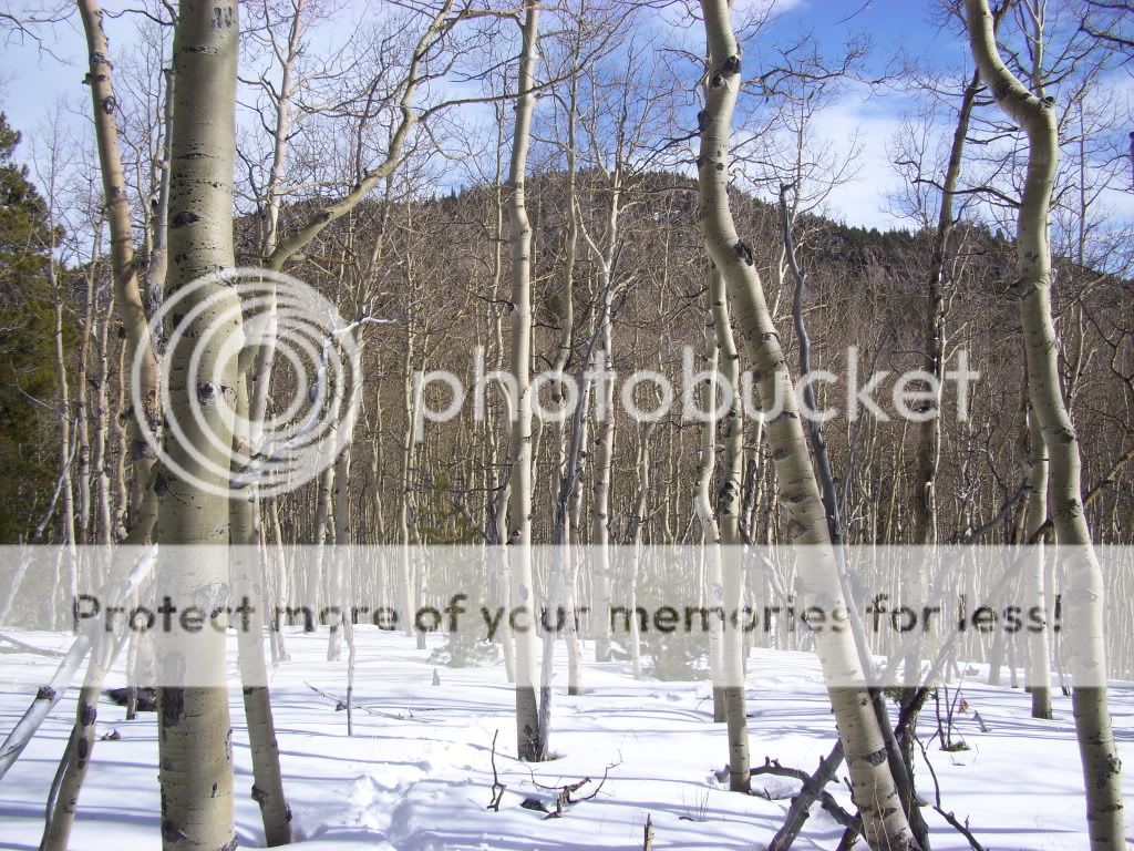
The great views and lack of wind made it a relaxing summit stay, however we knew we couldn't hang around too long if we wanted to make it back to the trailhead by dark. So we headed off back towards the west. Heading back was much simpler than the ascent as we did not have to put as much focus on navigation. All we really had to do was follow our own tracks out until we met up with the Payne Gulch Trail. Gaining point 10,303' on the way out was rough for my already tired legs, but it gave me a chance to take in the views of the superb aspen groves we were passing. This was definitely an area to come back to during the fall color time.

Following our path back through the aspens.
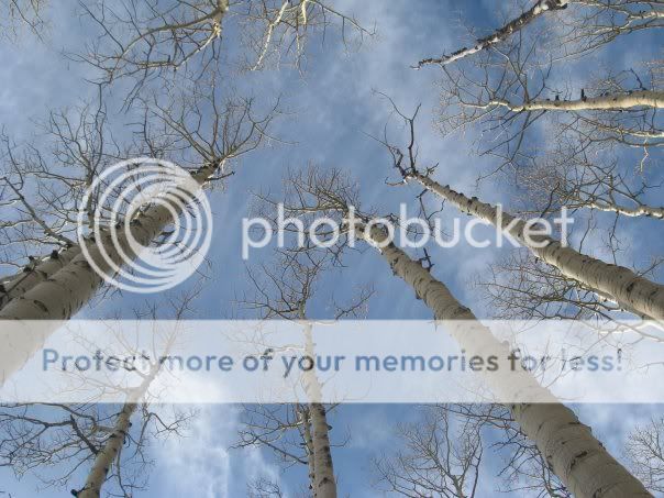
And here I thought Greenhouseguy was just trying to make snow angels. Nope...he was taking a picture. (Photo by Greenhouseguy)
It felt good to finally get back to the shallow snow on the trail. Wallowing through the snow back and forth to the summit had taken its toll on my legs. Starting a steady decline without needing to pull my foot out of snow for each step was a real treat.
The trek back to the TH from this point seemed to go quick. The fading daylight really made for a pleasant end to the trip, as it had been a while since I had been out in the mountains for sun down. It gave a nice setting to think about how I had handled my "entrance exam" to getting back to the mountains. The results: I was tired, sore and hungry. In other words, I felt like I was right back to normal, and it felt great.

Looking back at the last signs of sunlight just shy of the trailhead.
We made it back to the trailhead right as darkness hit. It was perfect timing to an end of a great day in the hills with some great company. Looking forward to the next one...

GoogleEarth view of the full route.
--Derek
My GPS Tracks on Google Maps (made from a .GPX file upload):
|


