Download Agreement, Release, and Acknowledgement of Risk:
You (the person requesting this file download) fully understand mountain climbing ("Activity") involves risks and dangers of serious bodily injury, including permanent disability, paralysis, and death ("Risks") and you fully accept and assume all such risks and all responsibility for losses, costs, and damages you incur as a result of your participation in this Activity.
You acknowledge that information in the file you have chosen to download may not be accurate and may contain errors. You agree to assume all risks when using this information and agree to release and discharge 14ers.com, 14ers Inc. and the author(s) of such information (collectively, the "Released Parties").
You hereby discharge the Released Parties from all damages, actions, claims and liabilities of any nature, specifically including, but not limited to, damages, actions, claims and liabilities arising from or related to the negligence of the Released Parties. You further agree to indemnify, hold harmless and defend 14ers.com, 14ers Inc. and each of the other Released Parties from and against any loss, damage, liability and expense, including costs and attorney fees, incurred by 14ers.com, 14ers Inc. or any of the other Released Parties as a result of you using information provided on the 14ers.com or 14ers Inc. websites.
You have read this agreement, fully understand its terms and intend it to be a complete and unconditional release of all liability to the greatest extent allowed by law and agree that if any portion of this agreement is held to be invalid the balance, notwithstanding, shall continue in full force and effect.
By clicking "OK" you agree to these terms. If you DO NOT agree, click "Cancel"...
Mt. Massive Trip Report
Southwest Slopes
Trailhead: North Halfmoon creek
Trailhead elevation: 10,500 feet
Summit Elevation: 14,421 feet
Elevation Gain: 3,950 feet
Roundtrip distance: 8.0 miles
For this our third day of 14ers (DeCaLiBron and Yale day 1 and 2) we were a group of three. Carrie decided to take the day off and rest her knee. Although, she actually ended up covering as much distance as we did on a walk to Turquoise Lake from our house in Leadville.
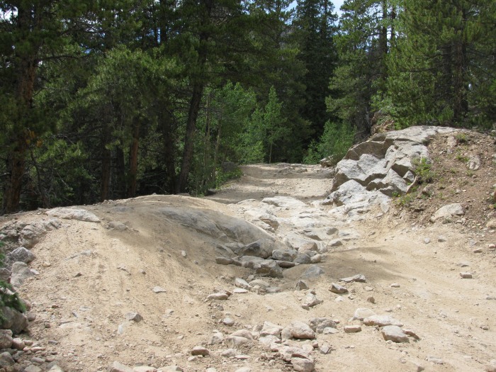
We decided to brave the rugged four-wheel drive road and made it all the way to the trailhead.
Difficult spot on road to trailhead
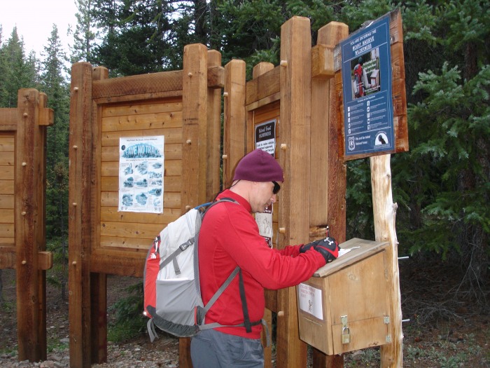
Signing in at the nice, well marked trailhead
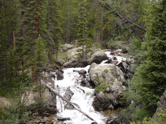
Creek parallels trail for first stretch
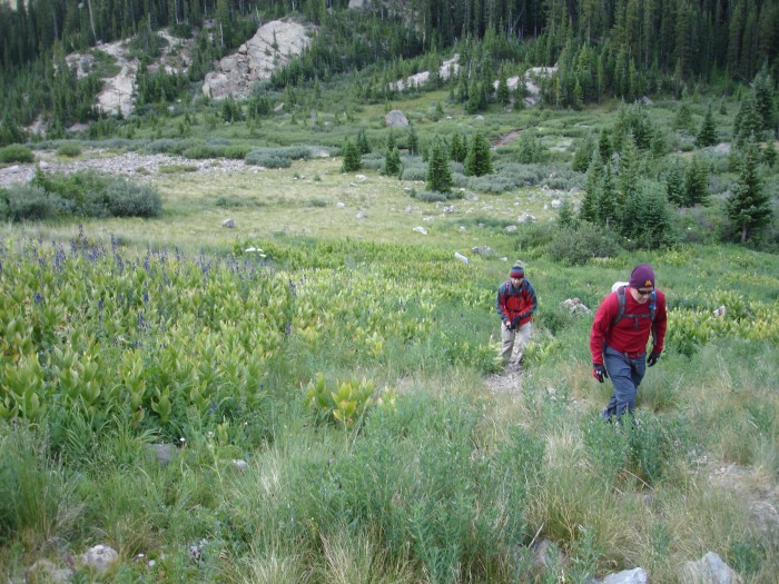
Shortly after the trail split at 11,200'
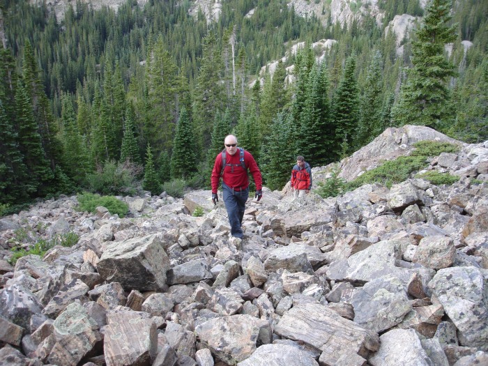
First small boulder field. Although you must traverse several boulder fields the trail is fairly well defined and in many cases it is laid out in staircase fashion. Thank you to CFI or whoever did the work on this trail - it must have been a "Massive" undertaking.
Trent taking advantage of one of the many opportunities for a dramatic posed shot along the way
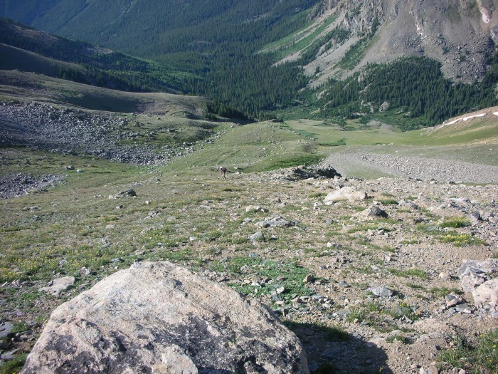
Looking back down the long, steep slope
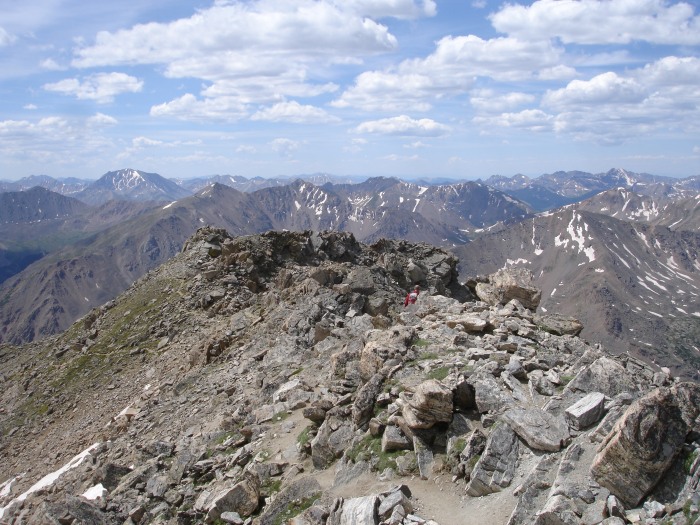
Nearing a false summit and eventual finish!
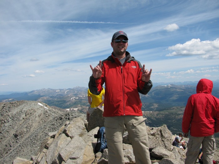
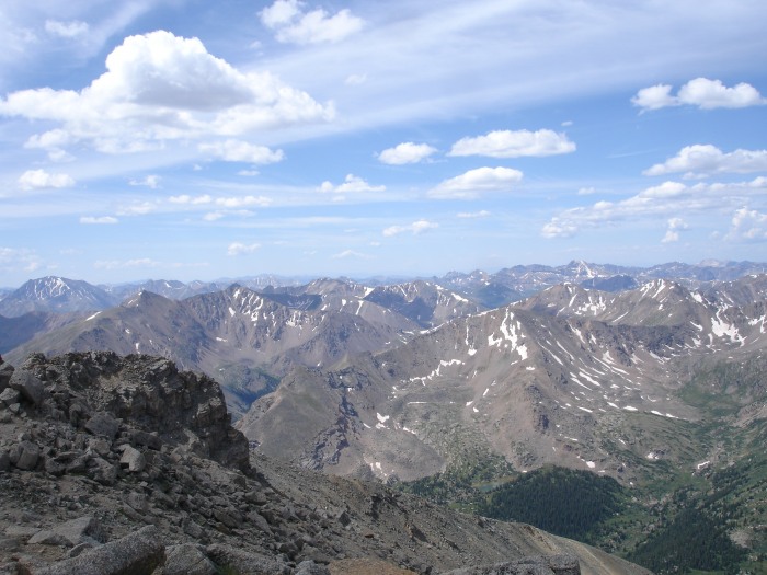
View from Summit with aptly named Snowmass visible near upper left hand corner
Brian celebrating his 4th 14er
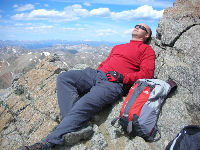
Steve relaxing on summit - temperature was mild, no wind, all around awesome day!
Starting descent
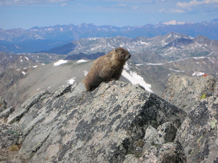
I am Marmot King, who dares pass?
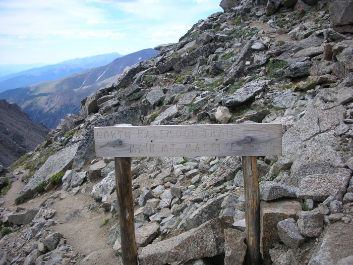
Heading back down - stay right for Southwest slopes
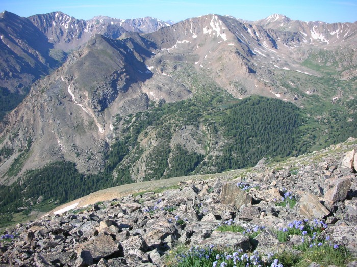
This hike offered some fantastic scenic views!
We were extremely pleased with our decision to hike the Southwest slopes rather than the standard East slopes. The trail up the slope was long and steep, but the views were amazing and the time saved was well worth it. The hike was voted our "Most Enjoyable" for this trip. I would recommend this route even if you have to park at the road junction ½ mile below the trailhead.
Our only disappointment for the day was discovering that Rosie's Brew Pub in Leadville has been shuttered. We really had our hearts set on a Mt. Massive Ale and a greasy burger. But never fear, we are an adaptable group and located cold beer and great burgers (especially the Buffalo burger) at Pastime. We called it an early night since we would be hiking in the pre-dawn hours the next day for our attempt on Mt. Harvard.
Thumbnails for uploaded photos (click to open slideshow):
I‘m pretty daring on the 4x4 roads, but that spot made me park 1/4 mile down last year and then walk a 1/2 mile or so up to the TH. Your‘e one of the brave few!
It took me three attempts to clear the area. But I was in a nice Ford F150 4x4 rental with plenty of clearance.
Caution: The information contained in this report may not be accurate and should not be the only resource used in preparation for your climb. Failure to have the necessary experience, physical conditioning, supplies or equipment can result in injury or death. 14ers.com and the author(s) of this report provide no warranties, either express or implied, that the information provided is accurate or reliable. By using the information provided, you agree to indemnify and hold harmless 14ers.com and the report author(s) with respect to any claims and demands against them, including any attorney fees and expenses. Please read the 14ers.com Safety and Disclaimer pages for more information.
Please respect private property: 14ers.com supports the rights of private landowners to determine how and by whom their land will be used. In Colorado, it is your responsibility to determine if land is private and to obtain the appropriate permission before entering the property.


")


