Download Agreement, Release, and Acknowledgement of Risk:
You (the person requesting this file download) fully understand mountain climbing ("Activity") involves risks and dangers of serious bodily injury, including permanent disability, paralysis, and death ("Risks") and you fully accept and assume all such risks and all responsibility for losses, costs, and damages you incur as a result of your participation in this Activity.
You acknowledge that information in the file you have chosen to download may not be accurate and may contain errors. You agree to assume all risks when using this information and agree to release and discharge 14ers.com, 14ers Inc. and the author(s) of such information (collectively, the "Released Parties").
You hereby discharge the Released Parties from all damages, actions, claims and liabilities of any nature, specifically including, but not limited to, damages, actions, claims and liabilities arising from or related to the negligence of the Released Parties. You further agree to indemnify, hold harmless and defend 14ers.com, 14ers Inc. and each of the other Released Parties from and against any loss, damage, liability and expense, including costs and attorney fees, incurred by 14ers.com, 14ers Inc. or any of the other Released Parties as a result of you using information provided on the 14ers.com or 14ers Inc. websites.
You have read this agreement, fully understand its terms and intend it to be a complete and unconditional release of all liability to the greatest extent allowed by law and agree that if any portion of this agreement is held to be invalid the balance, notwithstanding, shall continue in full force and effect.
By clicking "OK" you agree to these terms. If you DO NOT agree, click "Cancel"...
Now that the high ridges are drying out, I decided to add Pacific Peak's east ridge to my list of "get acquainted with class 3" scrambles. I like moderate climbing, but am trying to overcome my fear of heights little by little. This outing turned out to be seriously fun for a noob like me.
I headed out the 851 road for McCullough Gulch, passing the Quandary TH and taking a right turn at mile 1.6. After parking near the Wheeler Trail intersection, I aimed due NE up the tundra.
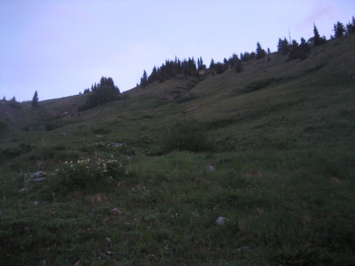
Looking up out of the gulch. No warmup for this hike.
At the top of this slope is a small meadow at ~11500'. It looked to be willow-bashing hell, but I angled north toward the trees and was out of the undergrowth in no time.
Actual annoyance factor = low. Start of ridge is dead ahead.
View from NW edge of meadow. I (heart) tundra hiking.
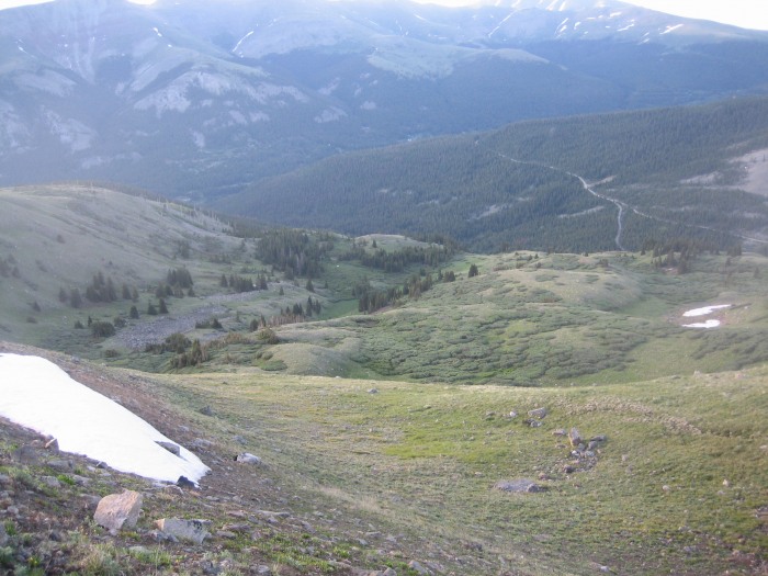
View back down to McCullough Gulch road.
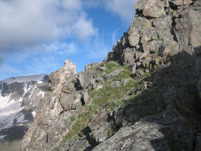
Up on the ridge, the hiking was extra mellow. There was no sign of the impending fun to be seen yet. Seeing the ridge almost completely absent of snow made me a little less apprehensive.
Climbing? What climbing?
The talus-hopping started at ~12400'. I was feeling a little underpowered at this point (crappy sleep?), but figured that the upcoming challenge would perk me up.
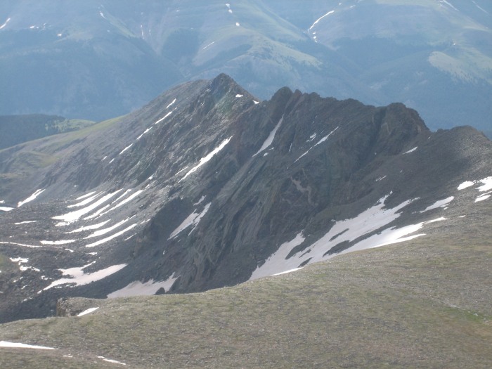
The first few towers on the ridge. Pacific Peak at the very end of the line.
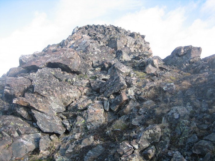
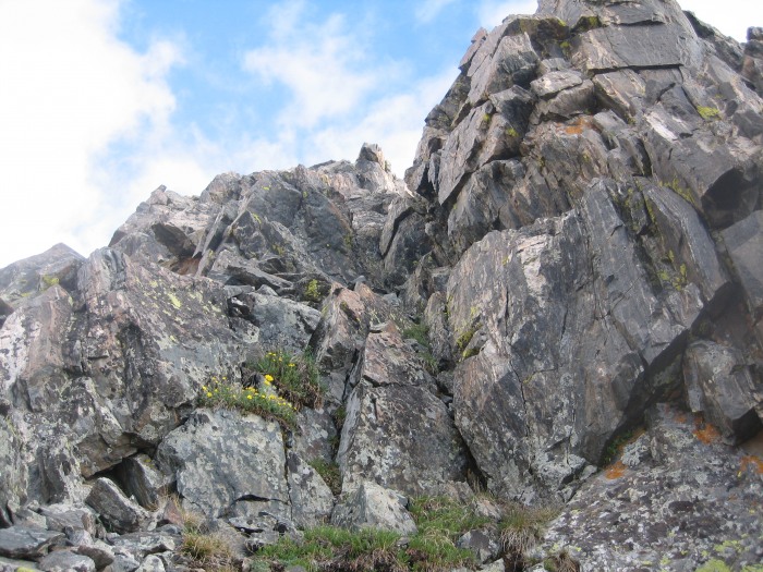
Things finally started to get interesting at ~12800'. I really enjoyed the way the difficulty slowly ramped up so I could ease into it. For the most part I stayed to the ridge top (very solid), but snuck down a little on the south side when things got too dicey.
One of the first class 3 sections.
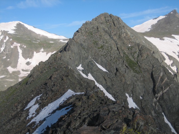
Atlantic and Pacific look so close from here. (heh heh heh)
A wee bit of exposure. I'll just take a left turn here.
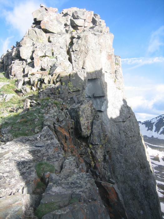
About halfway along the ridge. This is right before a short knife-edge.
A nice little "cheater" ramp.
I took the next shot in anticipation of the end of the ridge. Of course, without much experience in this, I seriously underestimated how long a 1-mile scramble could take. Oh well, more practice is good!
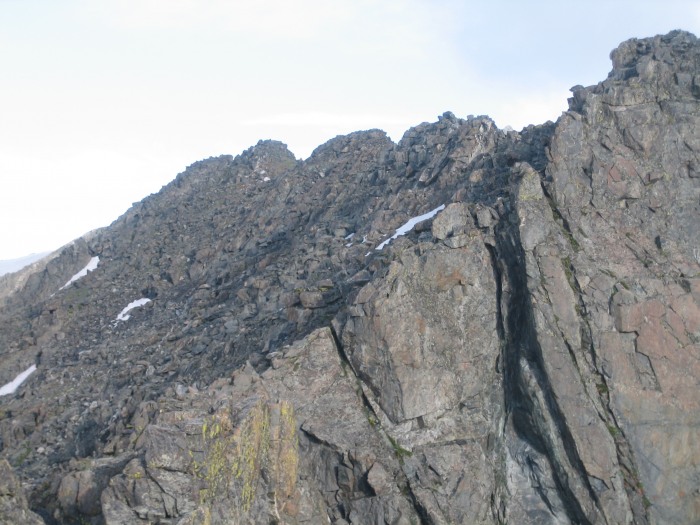
Five towers later, I was finally at the plateau below Pacific. I felt spent, but was pretty pleased with what I had done so far. And, I knew that the rest of the outing was pretty straight-forward... just one foot in front of the other up blocky talus.
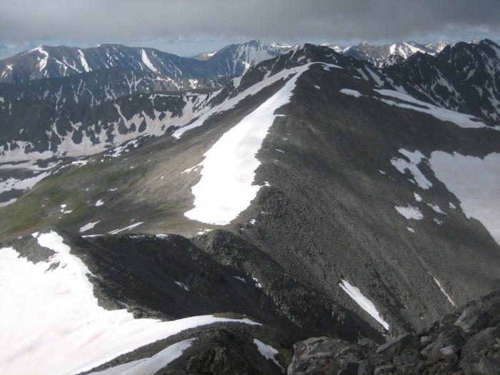
Looking back at the last 2/3 of the ridge.
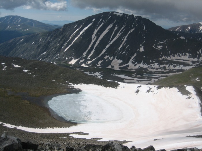
Pacific Tarn (at 13420, the highest lake in the country) from Pacific Peak summit. Quandary broods in the shadows.
The trek across to Atlantic Peak was somewhat anticlimatic. But it was good to be able to rest my brain after the climbing.
Embarking on the ol' down-and-up to Atlantic.
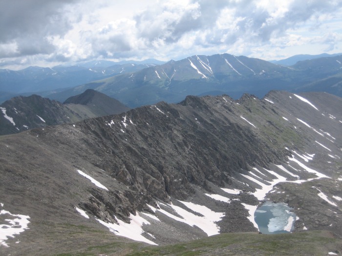
One last look at the ridge.
The clouds were starting to look a little scary (it may have actually been raining on Quandary), so I hustled down to the saddle. The gulch awaited.
McCullough Gulch from headwall.
I finally got to use my axe by glissading the headwall into the gulch (knew I packed that sucker for a reason!). The next mile or two was uneventful, bordering on monotonous... just a talus slog down to McCullough Lake. The return to society (first people I'd seen all day) came quickly. After bushwhacking through mountains of willows and swollen streams just above the lake, I popped out onto the McCullough Gulch trail and dozens of sightseers.
"Where did you come from?"
"Why do you have an axe?"
Ahhhh, civilization.
Thumbnails for uploaded photos (click to open slideshow):
Your trip report has sold me on the idea that this looks like a great hike. I will have to add this one to my ”to do” list! 8)
Caution: The information contained in this report may not be accurate and should not be the only resource used in preparation for your climb. Failure to have the necessary experience, physical conditioning, supplies or equipment can result in injury or death. 14ers.com and the author(s) of this report provide no warranties, either express or implied, that the information provided is accurate or reliable. By using the information provided, you agree to indemnify and hold harmless 14ers.com and the report author(s) with respect to any claims and demands against them, including any attorney fees and expenses. Please read the 14ers.com Safety and Disclaimer pages for more information.
Please respect private property: 14ers.com supports the rights of private landowners to determine how and by whom their land will be used. In Colorado, it is your responsibility to determine if land is private and to obtain the appropriate permission before entering the property.