Mt. Princeton and Tigger Peak from the lower trailhead
Trip Length: 13.3 miles
Trip Duration: 9 hrs. 6 min.
Elevation Gain: ~5800 ft.
Climbers: Myself, Longshanks (Eric)
The alarm went off early. Really freeking early. 12:15AM. One final food and gear check, and it was out the door to pick up Eric by 1AM. By 1:10, we were out of Fort Collins and headed south to Buena Vista.
An interesting thing about being on the road a 1AM on a Saturday morning (2AM through Denver) is that you find yourself in a sober minority from all the other drunks closing down the bars. Speed up, slow down, do whatever you have to do stay away from those who can't keep it between the white lines. "No, ociffer, we haven't been drinking, we're just stupid enough to think that this is a good hour to go mountain climbing."
By 4:15AM, we were at the lower trailhead by Frontier Ranch and underway by 4:30. We were planning on doing the "Tour de Massive" in 6 days, so we decided to make this hike harder than it otherwise needed to be for training purposes. So, headlamps on and up the service road at a pretty aggressive pace. The headlamps didn't last long as plenty of natural light came early. Less than 1 week after the solstice, it was light by 5AM.
By 5:45, we'd made it to the radio towers, just as many of the campers were just waking up.


A little bit further up the road at the first switchback we got our first good look at the eastern face. Apparently, snow was not going to be a problem. Amazing how dry the mountain got while still not even July.

A look back at the radio towers and the Arkansas River Valley gave us reassurance that this was going to be a bomber day.

After a few more switchbacks and the obvious turnoff comes into view right at treeline. Again, snow was comfortably melted off:

The service road continues up to a cabin. We used this road on the return trip as shown:

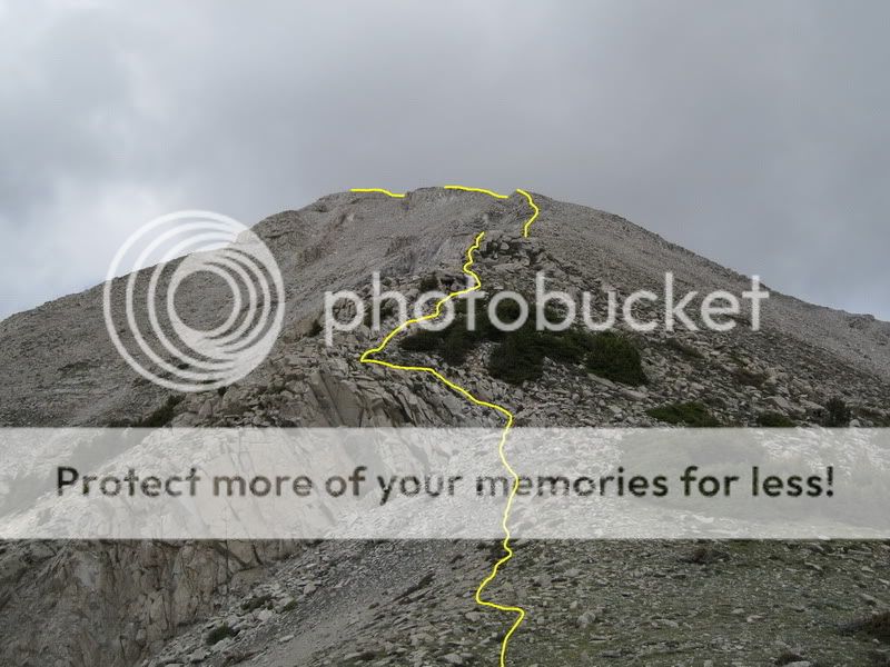
Once out on the talus, the remaining route to the summit came into view. Bone dry. Nice.

The new trail takes a hard left and climbs straight to the Princeton / Tigger saddle at roughly 13,000 feet. You're rewarded with this killer view of Antero upon reaching the saddle:

By the time we'd reached the saddle, we realized that we'd passed every group who'd driven past us on the service road and were setting an absolutely torrid pace up the mountain. The group behind us was cooking right along, so we made it a game to keep them from catching us - just as a motivator to hammer up the summit ridge and claim 'first summitter' status for the day.

Eric catching some Os about halfway up from the saddle with Tigger Peak in the background:

Some wispy, non-threatening clouds started building and blowing up the mountainside. It was interesting to feel the sun's heat reflecting off the clouds as they closed around you.

By 8:30, we were standing on the summit - it really sneaks up on you, and you're on it before you know it. 4 hours, 5300 vertical feet. Holy crap, that was fast.

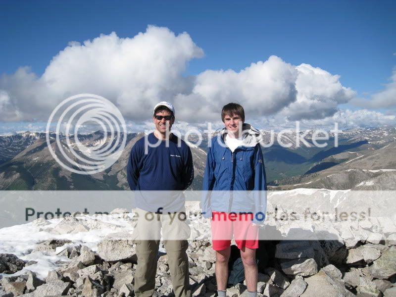
Eric an I on the summit:
Rewarding views of the Sawatch:
Mt Yale

Mt. Antero

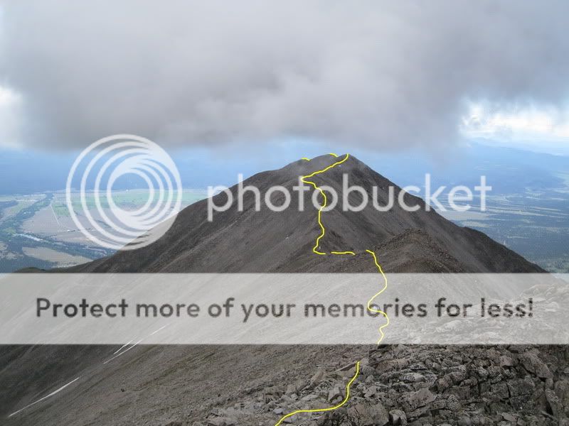
We didn't spend much time on the summit since we'd hoped to bag 'Tigger' Peak on the way back. On the way back down the ridge, we were hoping this cloud hovering over Tigger wasn't going to be a bad omen:
Clouds were also starting to form over Antero, but didn't seem to have enough structure to really chase us off the mountain. But at the same time, it was enough to keep your attention and keep you moving:

The ridge from the saddle to Tigger is a really fun ridge - much more enjoyable than Princeton's summit ridge. By 10AM, we were standing on Tigger's summit. There's a couple of points that you could debate as being the high point, so to remove doubt we touched 'em all.
Eric downing a 5th of gin ... or water ... not really sure what was in there:
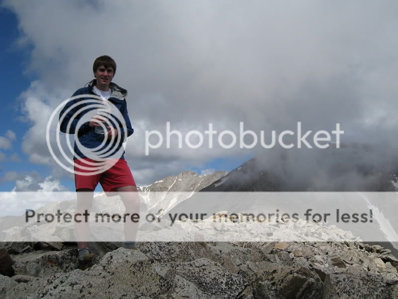
Me on Tigger's summit as the clouds started getting thicker on the upper slopes of Princeton:

We peered over the edge back toward Frontier Ranch and the Chalk Cliffs and could see that the southeast ridge would take you to the top of the service road.

We decided to stay on the ridge itself to keep things more interesting. There's some minor exposure to the western flank that drops off steeply, but nothing too serious. You can stay right on the ridge and keep climbing at Class 3, with a couple of Class 4 moves. But anything that's uncomfortable has an easy bypass to the east.
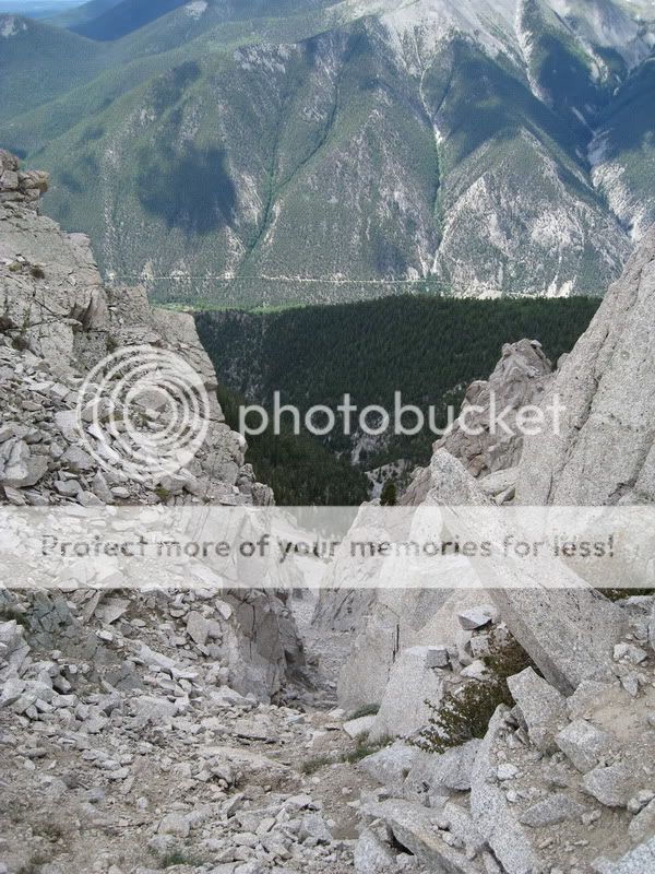
Our route down - Eric compared this difficulty to roughly that of Kelso Ridge, with maybe less dramatic exposure. Certainly fun:
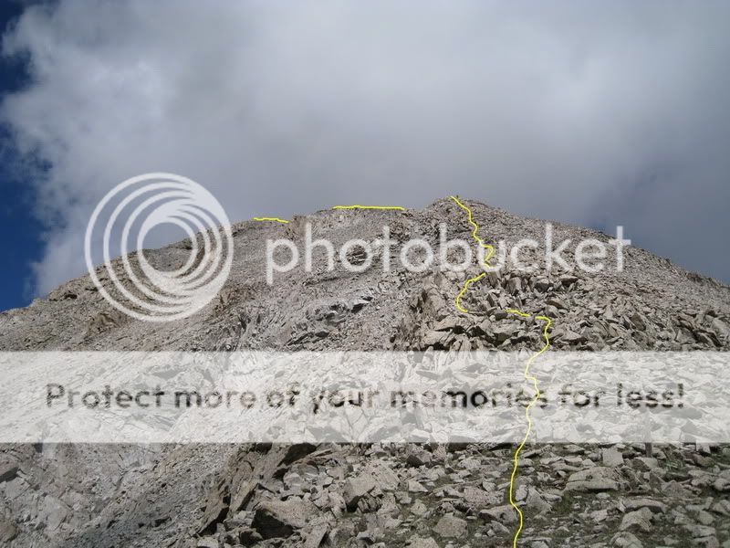
Eric comtemplating a Class 4 downclimb section. Ahh, to hell with it, you can't get hurt in the air:


A shot from below:

The only bypass we had to make was one cliffy section at the bottom:
Once at the service road, the hike down is relaxing service road stroll ... albeit 3,500 vertical feet of service road strolling. But the one-lane-road-backups-because-there's-no-place-to-turn-around problems become someone else's problems. You can sip water and munch on a sandwich. 8)
Chalk cliffs through the trees:
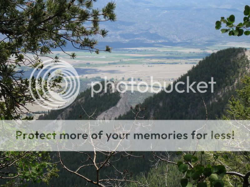
Approaching the rappelling station at Frontier Ranch:

By 1:30, we were tired, dusty, and hungry ... but satisfied. I highly recommend this Princeton / Tigger loop to add a little difficulty to an otherwise 'easy' mountain in the Sawatch, as well as to achieve a bit of solitude on a popular 14er. That western flank of Tigger is a slope that I don't think has too many eyes laid upon it. All in all, a great start to the hiking season in the Sawatch. 8)




