Download Agreement, Release, and Acknowledgement of Risk:
You (the person requesting this file download) fully understand mountain climbing ("Activity") involves risks and dangers of serious bodily injury, including permanent disability, paralysis, and death ("Risks") and you fully accept and assume all such risks and all responsibility for losses, costs, and damages you incur as a result of your participation in this Activity.
You acknowledge that information in the file you have chosen to download may not be accurate and may contain errors. You agree to assume all risks when using this information and agree to release and discharge 14ers.com, 14ers Inc. and the author(s) of such information (collectively, the "Released Parties").
You hereby discharge the Released Parties from all damages, actions, claims and liabilities of any nature, specifically including, but not limited to, damages, actions, claims and liabilities arising from or related to the negligence of the Released Parties. You further agree to indemnify, hold harmless and defend 14ers.com, 14ers Inc. and each of the other Released Parties from and against any loss, damage, liability and expense, including costs and attorney fees, incurred by 14ers.com, 14ers Inc. or any of the other Released Parties as a result of you using information provided on the 14ers.com or 14ers Inc. websites.
You have read this agreement, fully understand its terms and intend it to be a complete and unconditional release of all liability to the greatest extent allowed by law and agree that if any portion of this agreement is held to be invalid the balance, notwithstanding, shall continue in full force and effect.
By clicking "OK" you agree to these terms. If you DO NOT agree, click "Cancel"...
After climbing Little Bear a few weeks ago in amazing weather I was pretty excited to get up some more 14ers this summer. My buddy and I decided that the state high point would be a cool peak to climb so we went with Elbert. To make the trip even more fun we chose the lesser used Southeast Ridge route so we could tag South Elbert as well.
We left from Longmont around 5:45 after waiting for another delinquent friend of ours who ended up being a no-show and drove to the trailhead. The Black Cloud Trailhead is pretty hard to find, especially at night. It is marked with a sign, but the sign is parallel to the road so it's pretty hard to see. We ended driving past it twice and then attempting to pull into two private roads before we found it. If I remember right, the trailhead is pretty close to Mile 75 on Colorado 82. Beyond that I would advise anyone trying to find this trailhead to drive very slow when they think they're getting close.
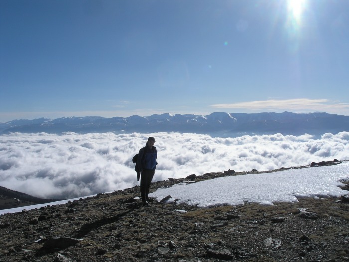
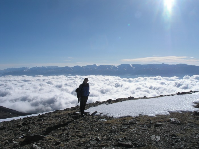
Got up the next day at 4:30 and got hiking around 5:15. We started early because we were worried that the weather might be pretty bad because the forecast predicted snow and rain. Fortunately there was no precipitation, and we were rewarded with a spectacular view of the clouds filling the valley below us when we reached South Elbert's ridge.
Me
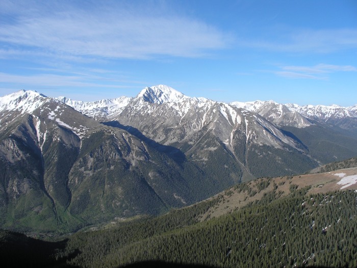
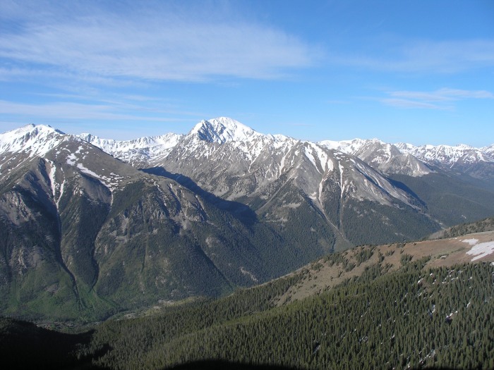
La Plata
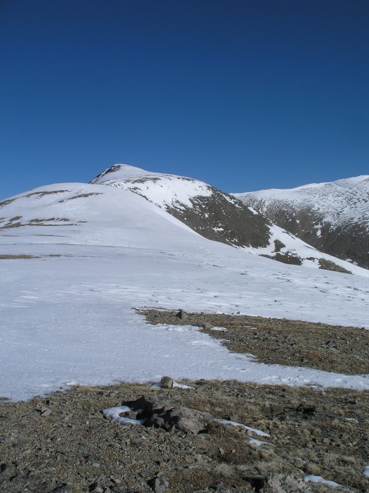
Up until the top of the ridge this trail is pretty much 100% snow free. After the ridge, there was a decent amount of snow the rest of the way up. Gaitors were somewhat useful, but the snow was pretty hard and windblown. We had ice axes, which made me feel comfortable, but I don't think they were necessary. We didn't use crampons either.
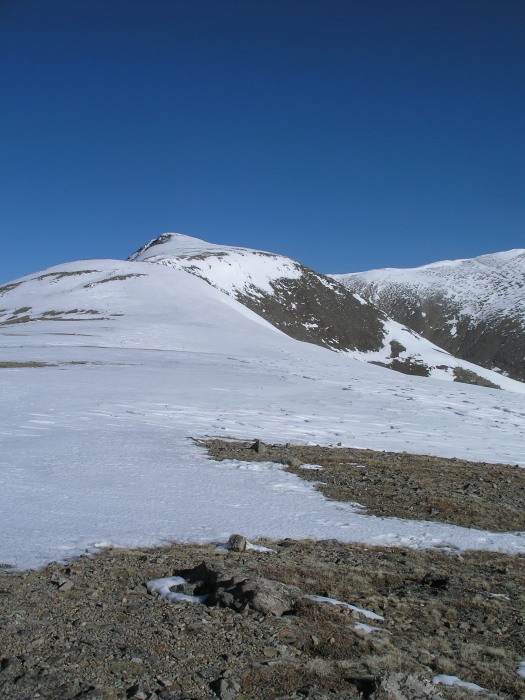
South Elbert from the ridge
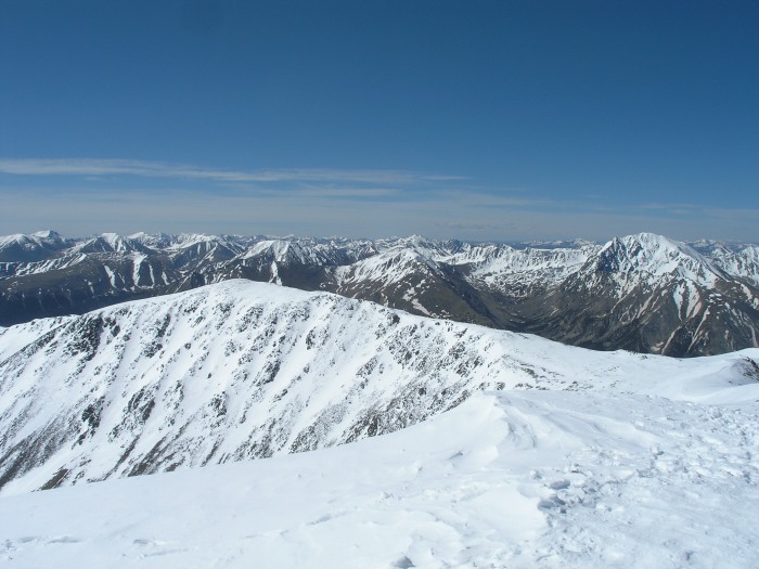
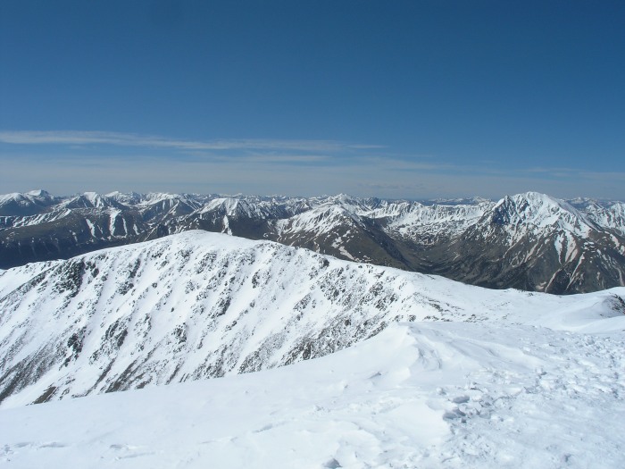
South Elbert rewarded us with some beautiful views of La Plata and much of the southern Sawatch. The wind started blowing pretty hard at this point, so we didn't stay long.
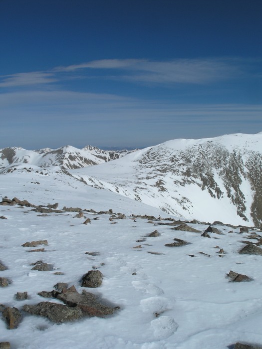
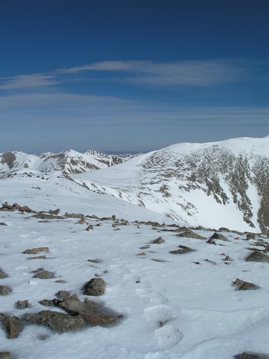
The ridge over to Elbert
We were still a little worried about precipitation and the snow turning soft, so we powered our way over to Elbert as quickly as we could. We got to the top of Elbert around 10, and saw a bunch of people in jeans, shorts, and tennis shoes.
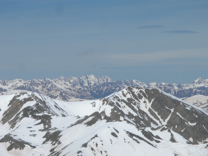
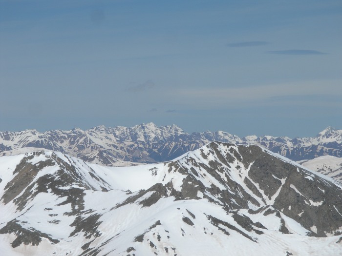
Maroon Bells close up
South Elbert
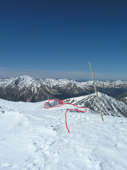
We ate some lunch and took some pictures and made our way back. We took Roach's alternate route "3V1" in hopes of doing a little bit of glissading, but the conditions weren't that great for it.
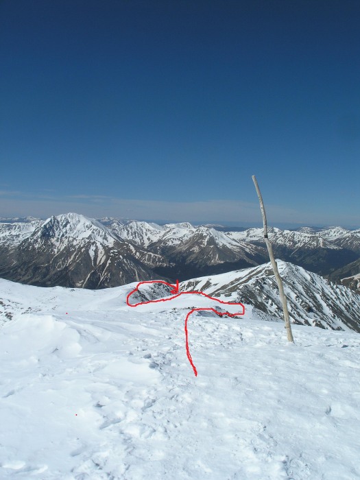
Alternate Route from the top of Elbert
We were still able to get two short glissades in though. There is no established trail that we could find back to the main trail, but just by mostly staying just above tree line and avoiding talus, we were able to reconnect exactly where Roach's route reconnects. The reconnection point is the ruins of a small cabin, and an obvious outhouse that is still holding up rather well.
We got back to the trailhead at 2, which made for a good 9 hours of hiking. This trail is very well established and is very easy to follow. I haven't gone up the standard route before, but this seems like a great alternative route that isn't as heavily traveled, plus you get the bonus peak of South Elbert. In fact, I think the hardest part might have been finding the turn off of Colorado 82!
By the way, this is my first TR, so hopefully it's not too confusing.
Thumbnails for uploaded photos (click to open slideshow):
Good job Android. I love the picture of the low clouds. I got some good ones like that of the Fall Creek drainage below the Halo Ridge route of Holy Cross once.
Email me the link to the rest of the pix!
Caution: The information contained in this report may not be accurate and should not be the only resource used in preparation for your climb. Failure to have the necessary experience, physical conditioning, supplies or equipment can result in injury or death. 14ers.com and the author(s) of this report provide no warranties, either express or implied, that the information provided is accurate or reliable. By using the information provided, you agree to indemnify and hold harmless 14ers.com and the report author(s) with respect to any claims and demands against them, including any attorney fees and expenses. Please read the 14ers.com Safety and Disclaimer pages for more information.
Please respect private property: 14ers.com supports the rights of private landowners to determine how and by whom their land will be used. In Colorado, it is your responsibility to determine if land is private and to obtain the appropriate permission before entering the property.