Download Agreement, Release, and Acknowledgement of Risk:
You (the person requesting this file download) fully understand mountain climbing ("Activity") involves risks and dangers of serious bodily injury, including permanent disability, paralysis, and death ("Risks") and you fully accept and assume all such risks and all responsibility for losses, costs, and damages you incur as a result of your participation in this Activity.
You acknowledge that information in the file you have chosen to download may not be accurate and may contain errors. You agree to assume all risks when using this information and agree to release and discharge 14ers.com, 14ers Inc. and the author(s) of such information (collectively, the "Released Parties").
You hereby discharge the Released Parties from all damages, actions, claims and liabilities of any nature, specifically including, but not limited to, damages, actions, claims and liabilities arising from or related to the negligence of the Released Parties. You further agree to indemnify, hold harmless and defend 14ers.com, 14ers Inc. and each of the other Released Parties from and against any loss, damage, liability and expense, including costs and attorney fees, incurred by 14ers.com, 14ers Inc. or any of the other Released Parties as a result of you using information provided on the 14ers.com or 14ers Inc. websites.
You have read this agreement, fully understand its terms and intend it to be a complete and unconditional release of all liability to the greatest extent allowed by law and agree that if any portion of this agreement is held to be invalid the balance, notwithstanding, shall continue in full force and effect.
By clicking "OK" you agree to these terms. If you DO NOT agree, click "Cancel"...
Erik and I Left Denver at 6:00 A.M. under clear skies. Once we drove up I-70 a ways we could see that the divide was clouded over. We hoped that the Tenmile Range was still clear. We arrived at the Blue Lakes Road at 8:15 and began hiking from there.
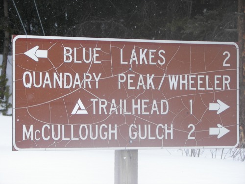
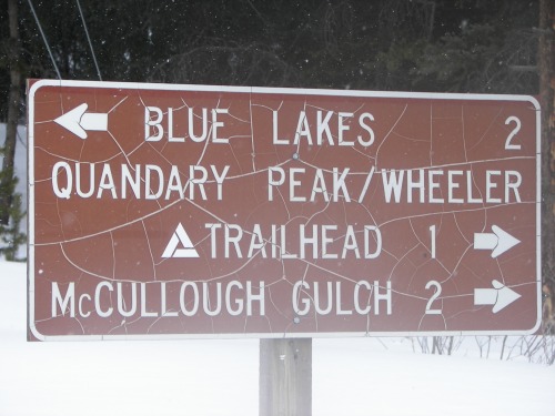
We parked exactly where this sign was
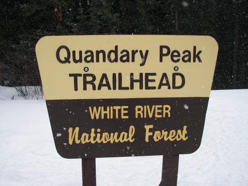
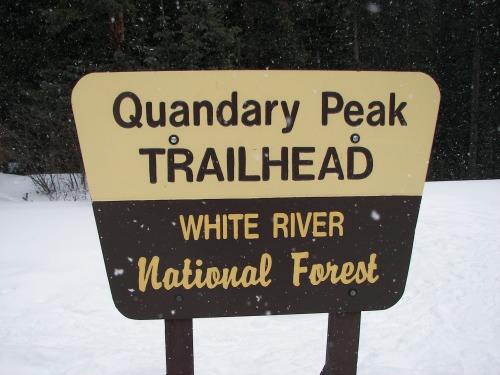
It took only a few minutes to reach the actual trailhead.
Trailhead starts here
We brought snowshoes but decided to stash them due to the well worn trail. Most everyone else we saw on the trial had snowshoes, we did fine without them though. Made good time up to treeline on a trail that was impossible to miss. This lead to the base of the ridge. I had never done this route so I did not know what to expect as far as how long this incline was going to be until the ridge proper. I found it much longer than expected, this was alright because once we crested it we knew we were close. Around this time we met mtnmike, he said that we were an hour and a half from the summit which proved to be exactly correct.
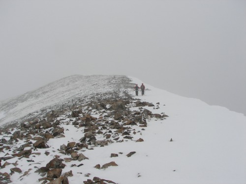
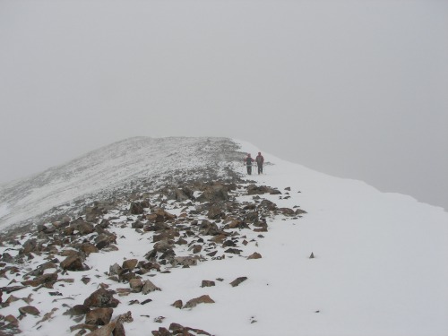
The ridge going back to down the mountain
We continued up the last 1000 feet which seemed to last for a long time. During this time we met jamienellis on her eway to the top. We talked for a little while and then went on our way. The weather had continued to detoriate and by the time we were above 14,000 we could nto see more than 20 feet in between windgusts. We finally toped out at 11:45 after 3 and a half hours of hiking.
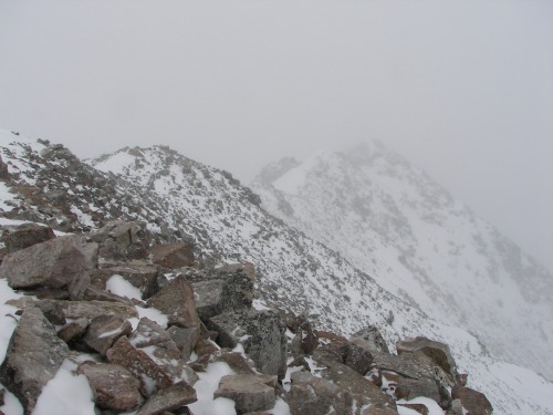
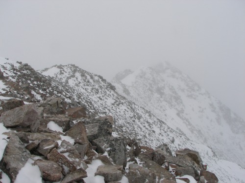
West Ridge from the summit
We were both tired and COLD! It was freezing at the top. We only stayed a few minutes and then left.
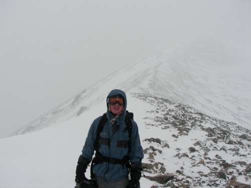
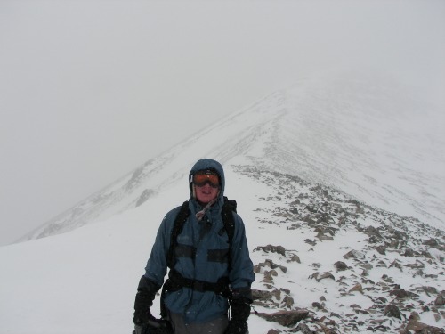
Me and the final ridge
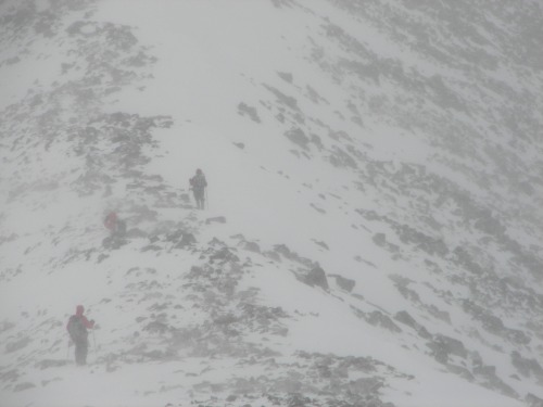
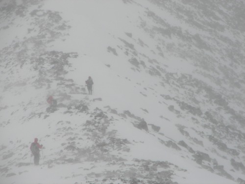
Two other guys we met along the way
It took another 2 hours to decend making a round trip time of 5 and a half hours. It was nice to actually meet 14er.com members after being a member here for so long.
Thumbnails for uploaded photos (click to open slideshow):
Yes it was a cold and windy day up there. I also saw you guys up there. I had the big red North Face pace and camo pants. Anyway one person in our group had a device that measured wind speed and temp. The wind chill at one point hit -30. We were averaging about -10 wind chill. Thought you might enjoy that fact.
Were you in the group of two? My friend and I were on top for just a few minutes and had to leave because of the cold. On the summit I could not feel my hands whatsoever, I believe this is the closest I have come to frostbite. Thanks for the info I appreciate it!
No we were a group of 8, but we were spread out over the whole mountain. I spent about 45 mins on the summit chatting with people before I could not take it anymore and had to get down. I actually thought that I had minor frostbit on my pinky finger but it did not quite get that far, thank god.
Well then I hear you guys at least had some blue sky!!
Caution: The information contained in this report may not be accurate and should not be the only resource used in preparation for your climb. Failure to have the necessary experience, physical conditioning, supplies or equipment can result in injury or death. 14ers.com and the author(s) of this report provide no warranties, either express or implied, that the information provided is accurate or reliable. By using the information provided, you agree to indemnify and hold harmless 14ers.com and the report author(s) with respect to any claims and demands against them, including any attorney fees and expenses. Please read the 14ers.com Safety and Disclaimer pages for more information.
Please respect private property: 14ers.com supports the rights of private landowners to determine how and by whom their land will be used. In Colorado, it is your responsibility to determine if land is private and to obtain the appropriate permission before entering the property.